Elevation of Quail Run Rd, Port Angeles, WA, USA
Location: United States > Washington > Clallam County > Port Angeles >
Longitude: -123.29664
Latitude: 48.0609068
Elevation: 244m / 801feet
Barometric Pressure: 98KPa
Elevation Map:
Satellite Map:
Related Photos:

I Hope You Like Blue...

The Challenge

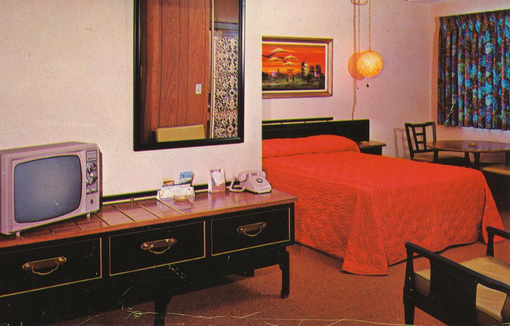
Uptown Motel - Port Angeles, Washington

What would Spider do?
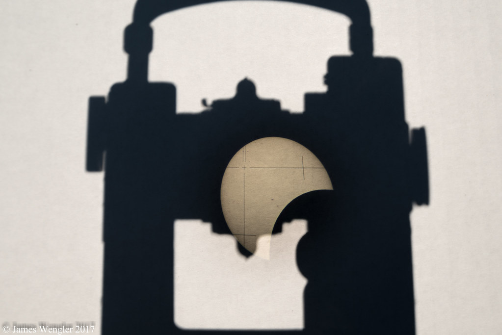
SOLAR ECLIPSE THROUGH THE LENS OF A WILD T-2 THEODOLITE
Flagstone Motel - Port Angeles, Washington

8th Street Bridge

Uptown Motel - Port Angeles, Washington

My Poppies Popped!
What I Love

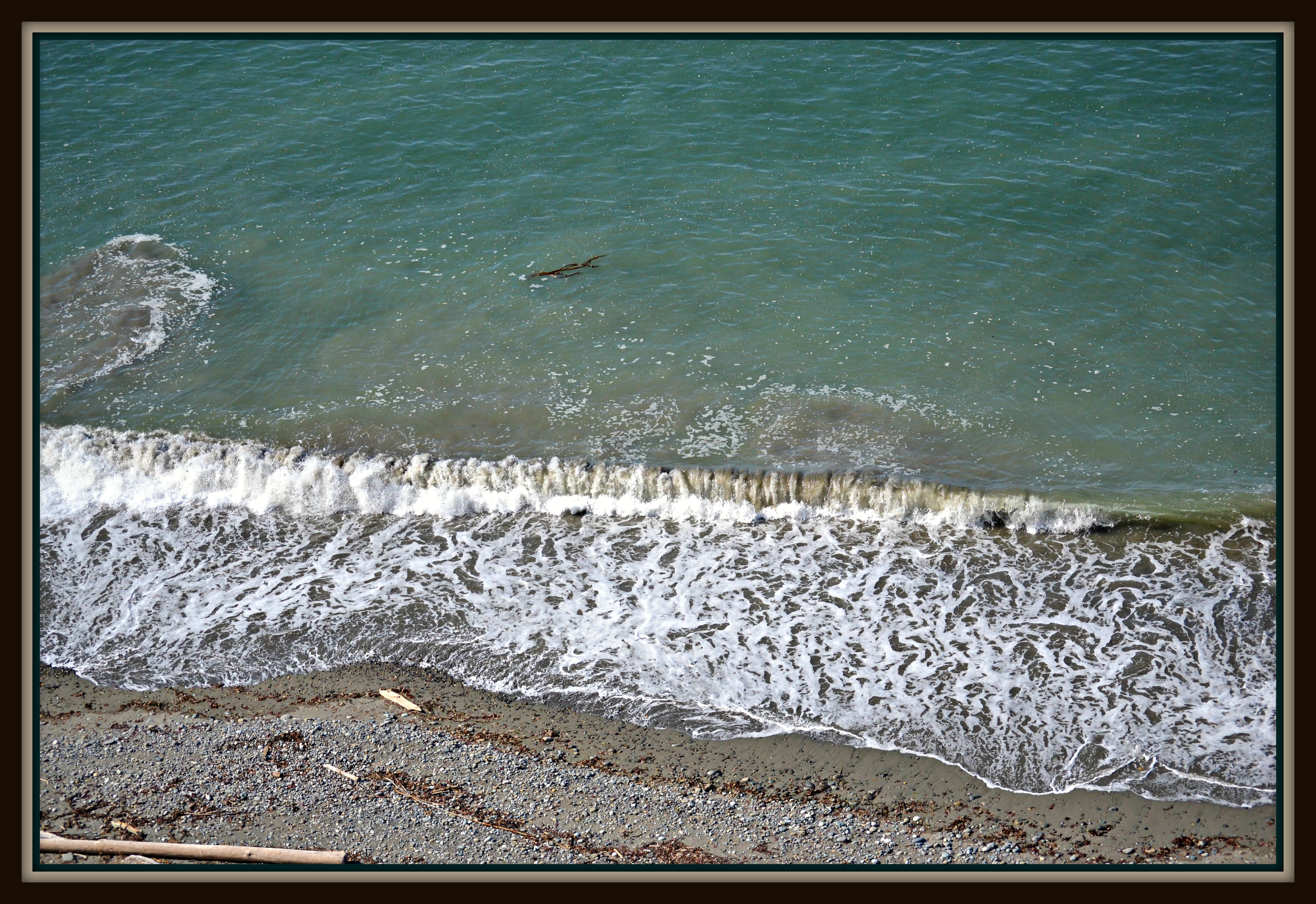
Olympic Stream.
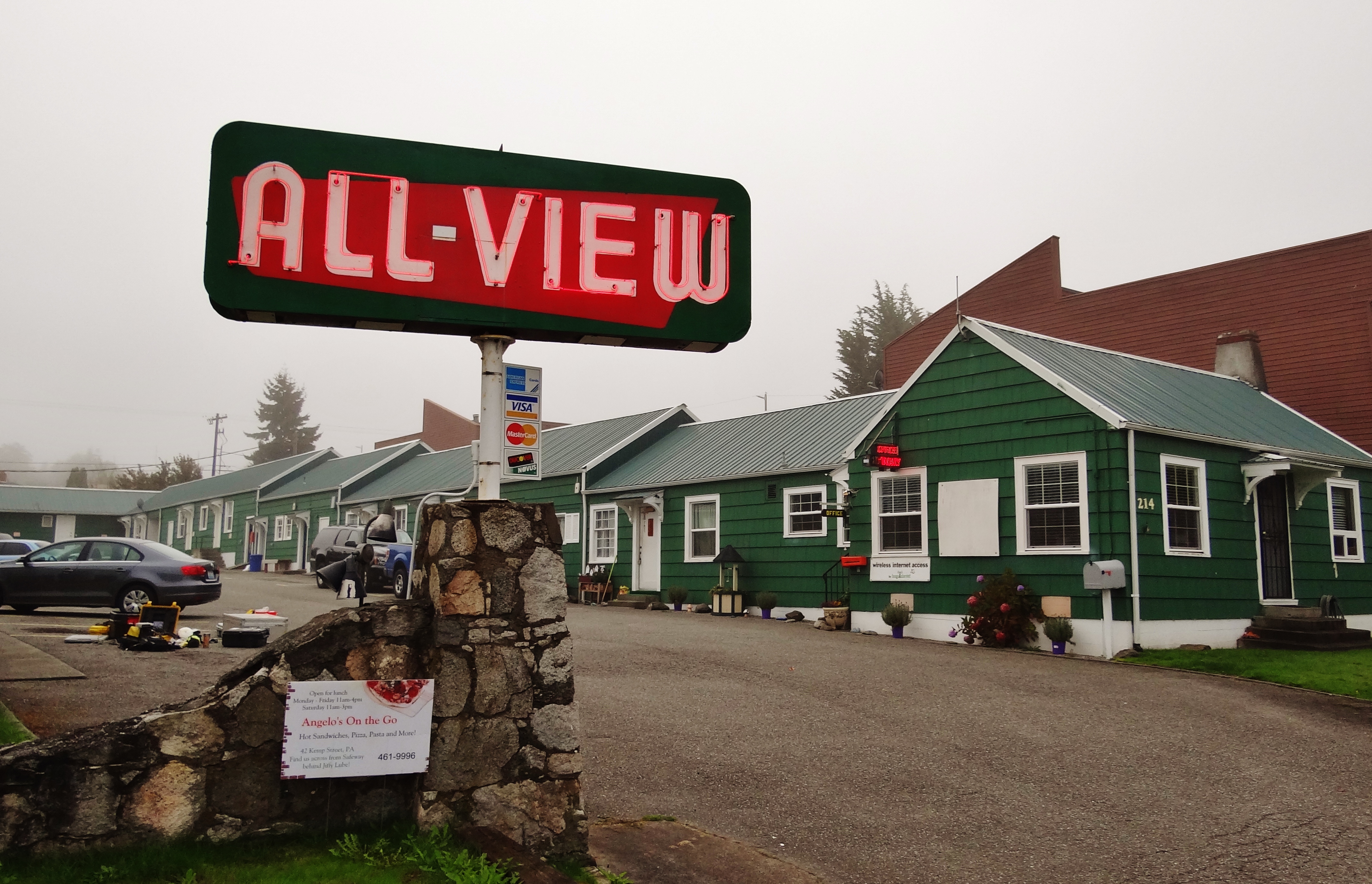
All-View Motel

SOLAR ECLIPSE THROUGH THE LENS OF A WILD T-2 THEODOLITE-2

Great views along the High Divide Trail yesterday. #ourpnw #highdivide #sevenlakesbasin #onp #trailrunning

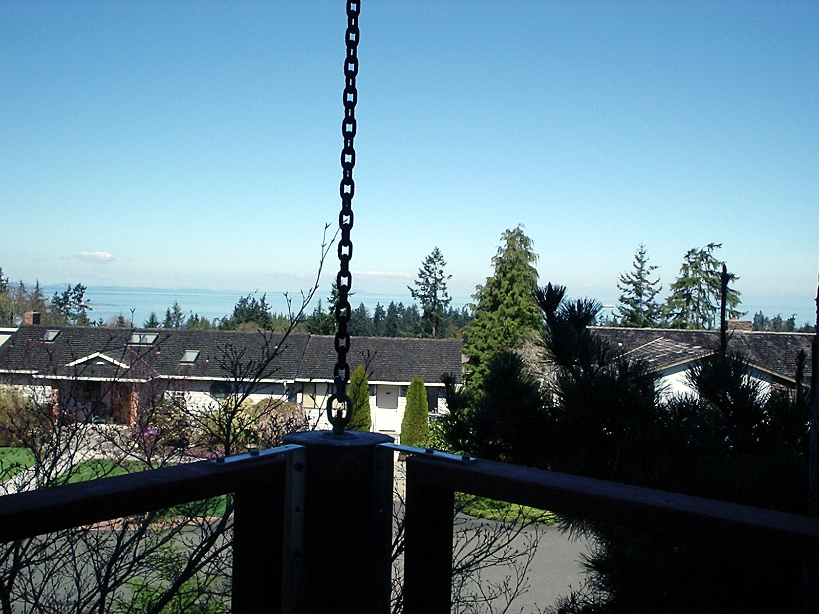
NNW view from our front deck

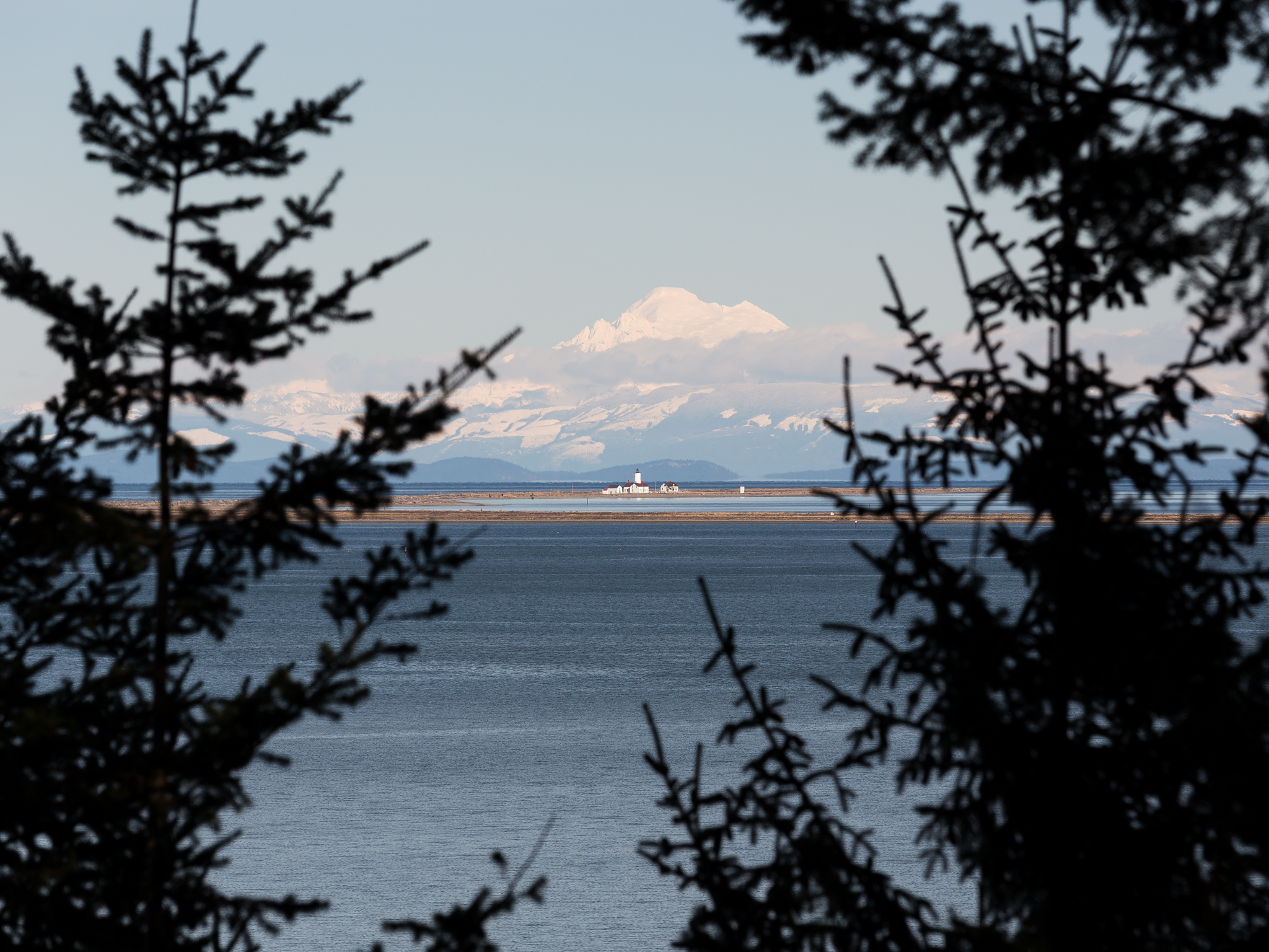
View from Hurricane Ridge Rd, Olympic National Park, WA (6)

N view from our front deck

NW view from our front deck

ENE view from our front deck
NNE view from our front deck

Olympic Mountains vs Chinese Painting

Mt. Peaks

Hurricane Ridge

Hurricane Ridge

Cape Flathery

this must be forever

Nature's Green Carpet

Klahhane Ridge Trail

Deer Park view of the Olympic Mt Range

New Year's Moon

Deer Park

Hurricane Ridge, Olympic National Park

Scenic Shopping

Storm clouds a coming

Hurricane Ridge, Olympic National Park

SUCKER HOLE!!

Hurricane Ridge Fog promo
Top of the Rock

My Serenity
Dungeness Light

Idea Place, Sequim, Washington, 2011
Topographic Map of Quail Run Rd, Port Angeles, WA, USA
Find elevation by address:

Places near Quail Run Rd, Port Angeles, WA, USA:
45 Cherry Tree Ln
Quail Run Road
145 Hurricane View Ln
145 Hurricane View Ln
85 Hidden Valley Rd
Alderview Drive
300 Alderview Dr
350 Alderview Dr
10 Conner Rd
100 Alderview Dr
1784 Blue Mountain Rd
2100 Blue Mountain Rd
1444 Township Line Rd
2471 Blue Mountain Rd
1612 Blue Mountain Rd
3182 Blue Mountain Rd
453 Merrill Way
365 Miles Rd
3272 Blue Mountain Rd
Blue Mountain Road
Recent Searches:
- Elevation of Congressional Dr, Stevensville, MD, USA
- Elevation of Bellview Rd, McLean, VA, USA
- Elevation of Stage Island Rd, Chatham, MA, USA
- Elevation of Shibuya Scramble Crossing, 21 Udagawacho, Shibuya City, Tokyo -, Japan
- Elevation of Jadagoniai, Kaunas District Municipality, Lithuania
- Elevation of Pagonija rock, Kranto 7-oji g. 8"N, Kaunas, Lithuania
- Elevation of Co Rd 87, Jamestown, CO, USA
- Elevation of Tenjo, Cundinamarca, Colombia
- Elevation of Côte-des-Neiges, Montreal, QC H4A 3J6, Canada
- Elevation of Bobcat Dr, Helena, MT, USA