Elevation of Rd, Kiln, MS, USA
Location: United States > Mississippi > Hancock County > Kiln >
Longitude: -89.389172
Latitude: 30.428538
Elevation: 13m / 43feet
Barometric Pressure: 101KPa
Elevation Map:
Satellite Map:
Related Photos:

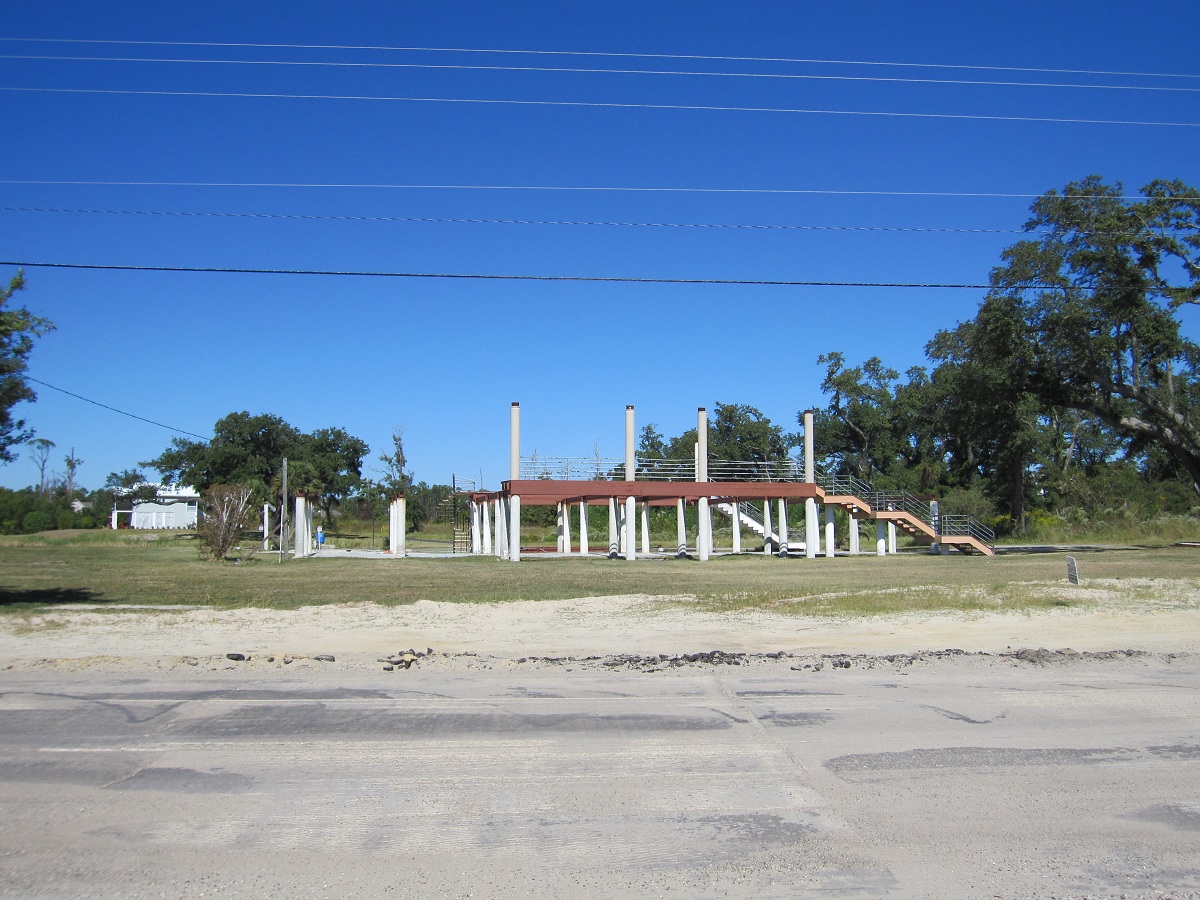
Rebuilding-22
Rebuilding-27

Southern Fan
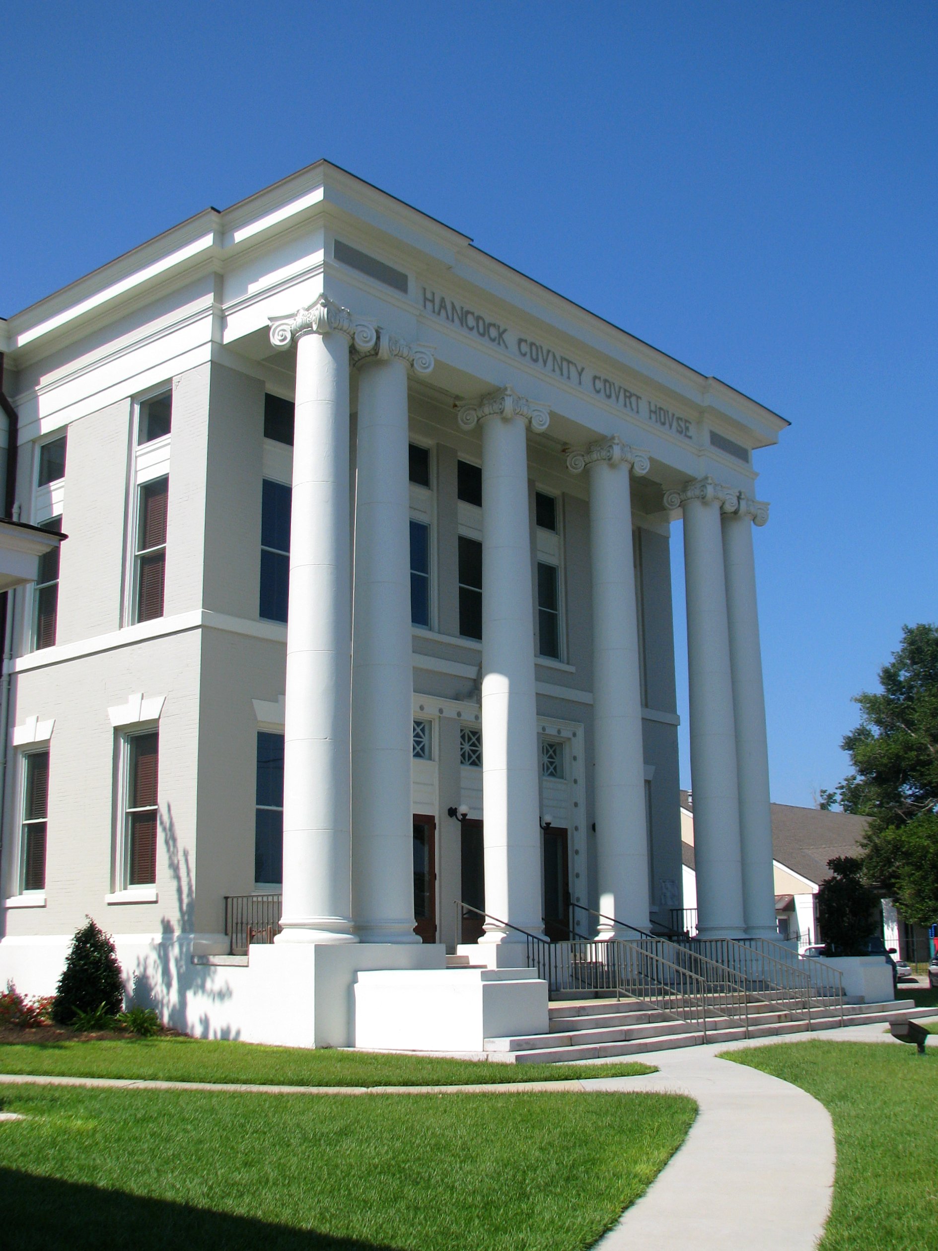
Hancock County Courthouse Front View

The Brand with the 3 Stripes
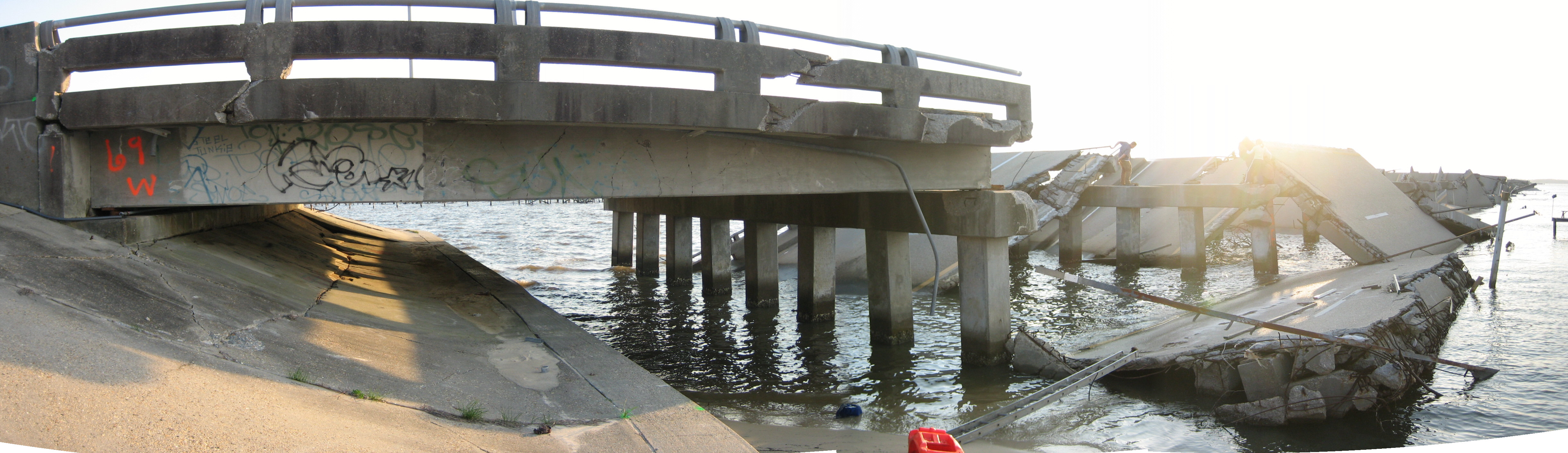
bridge side view

May 2007 DevID

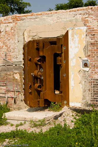
Another view of the Doll House
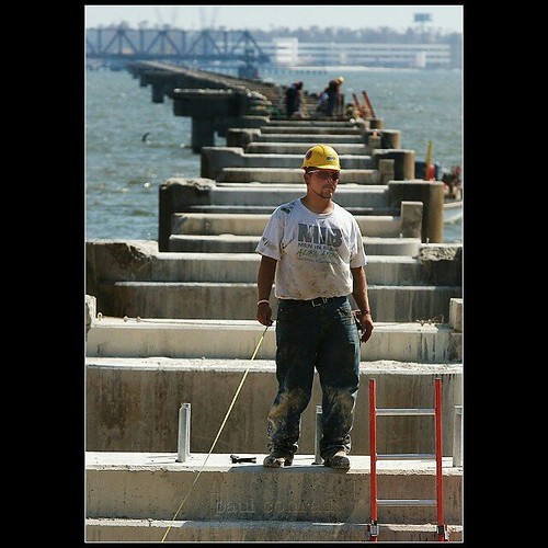
#afterkatrina #photojournalism One month after #HurricaneKatrina hit the Gulf Coast, David Wages of Columbia, Miss., pauses from working on the CSX Railroad bridge over St. Louis Bay to view the damage to the surrounding area on Saturday morning October1,

Community again
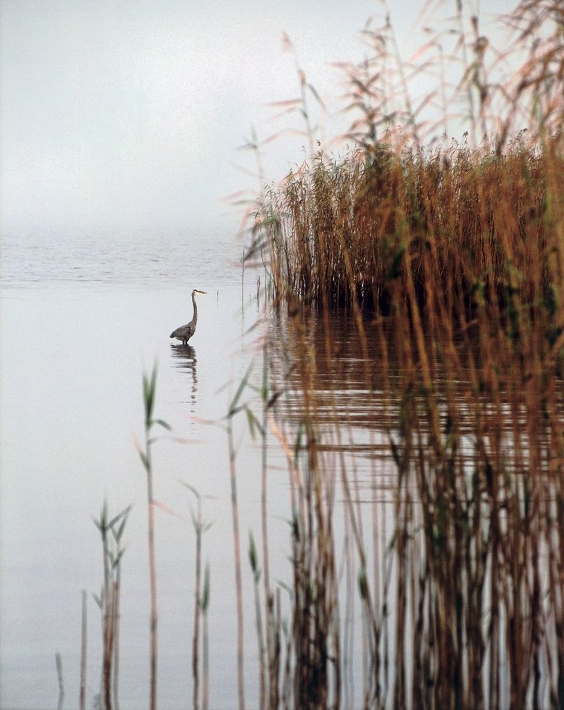
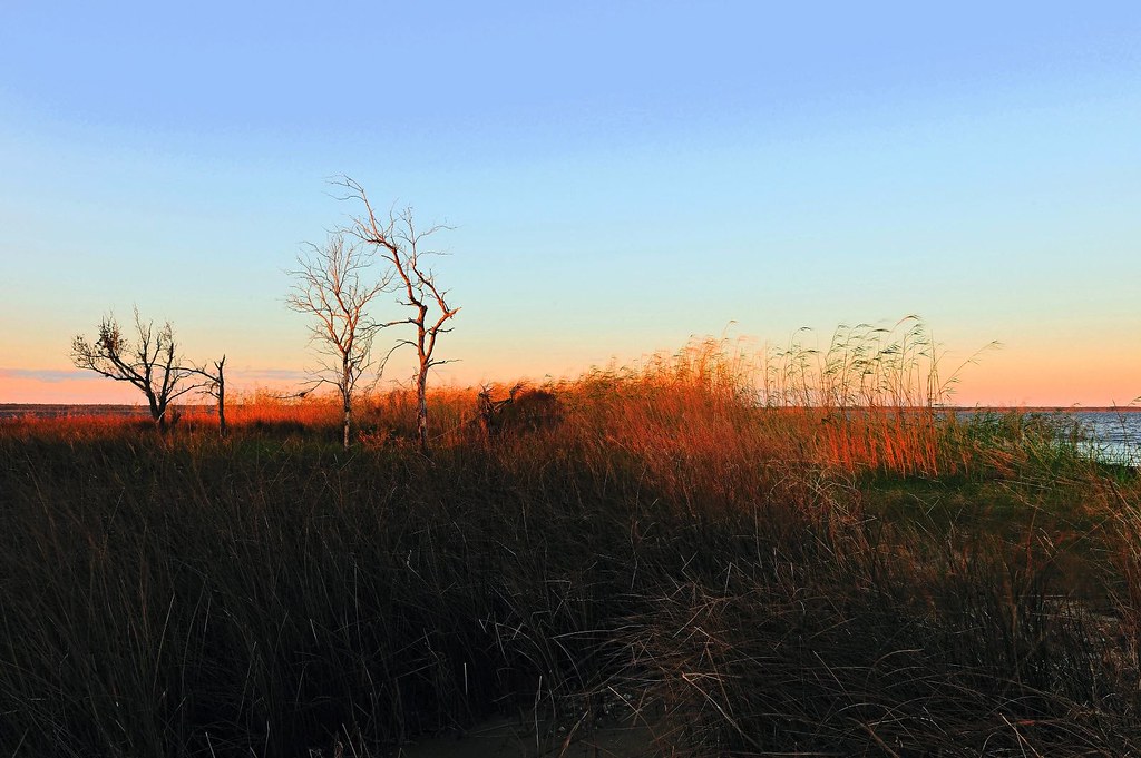
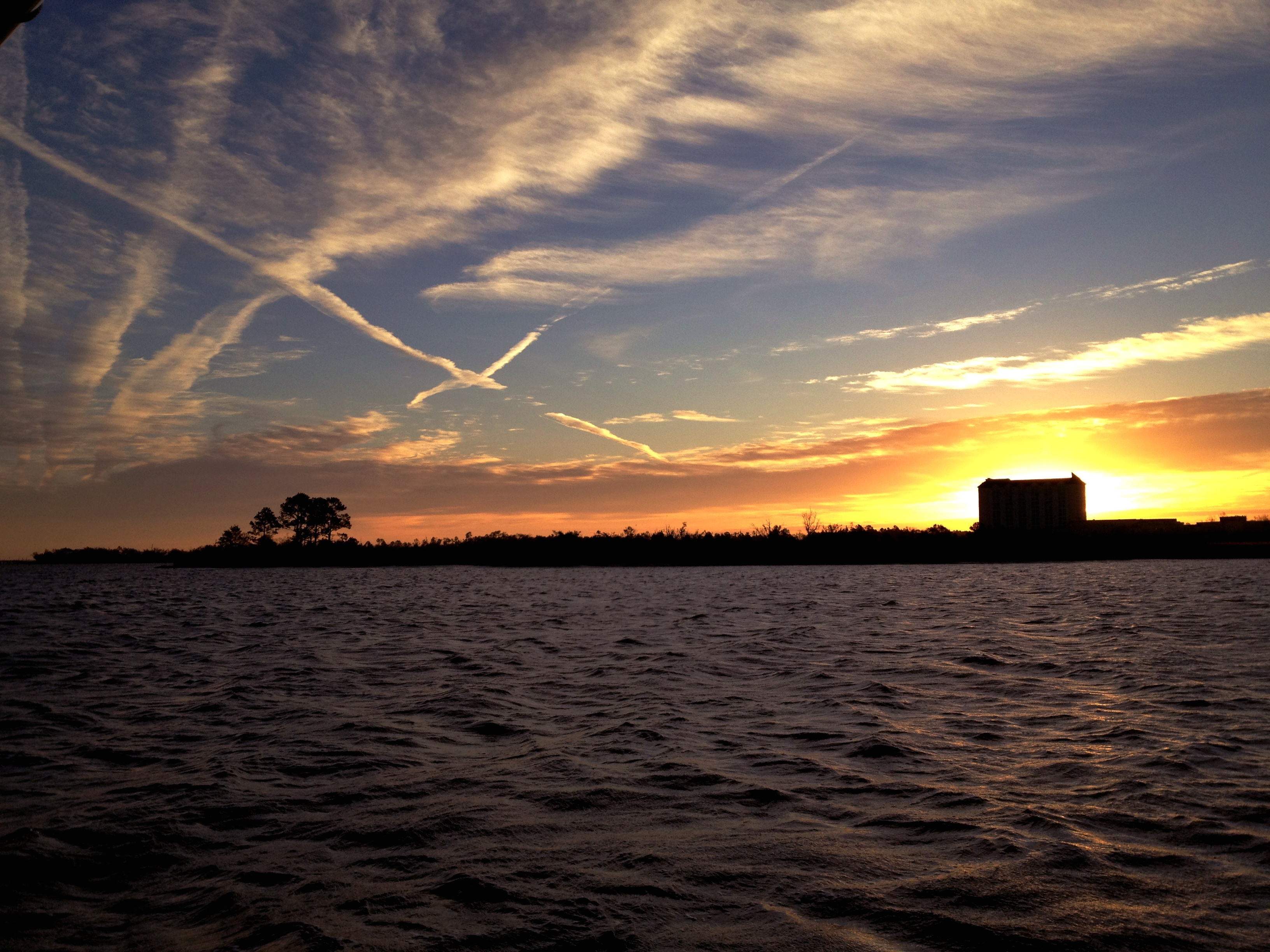
Bay Heron Fog
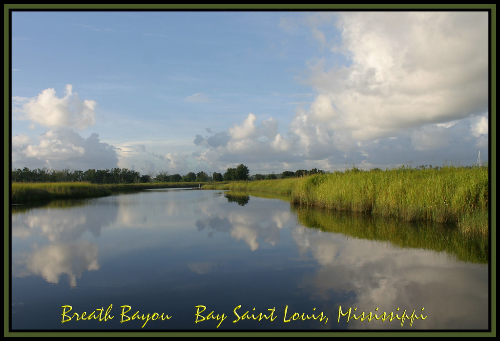
Breath Bayou

On the road!
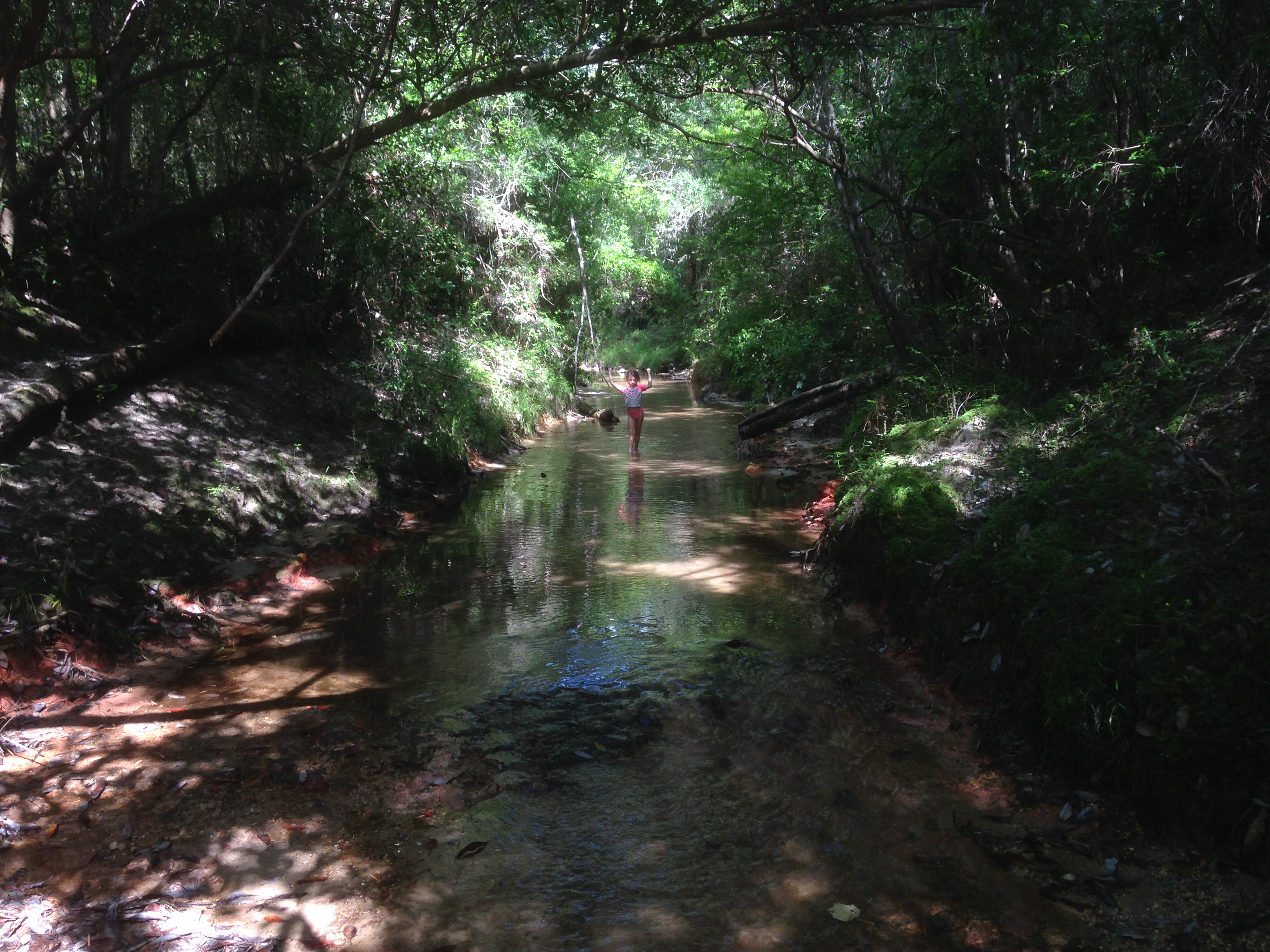
Creek Walk
Oyster po-boys and margaritas overlooking the Gulf of Mexico. #notbadforatuesday
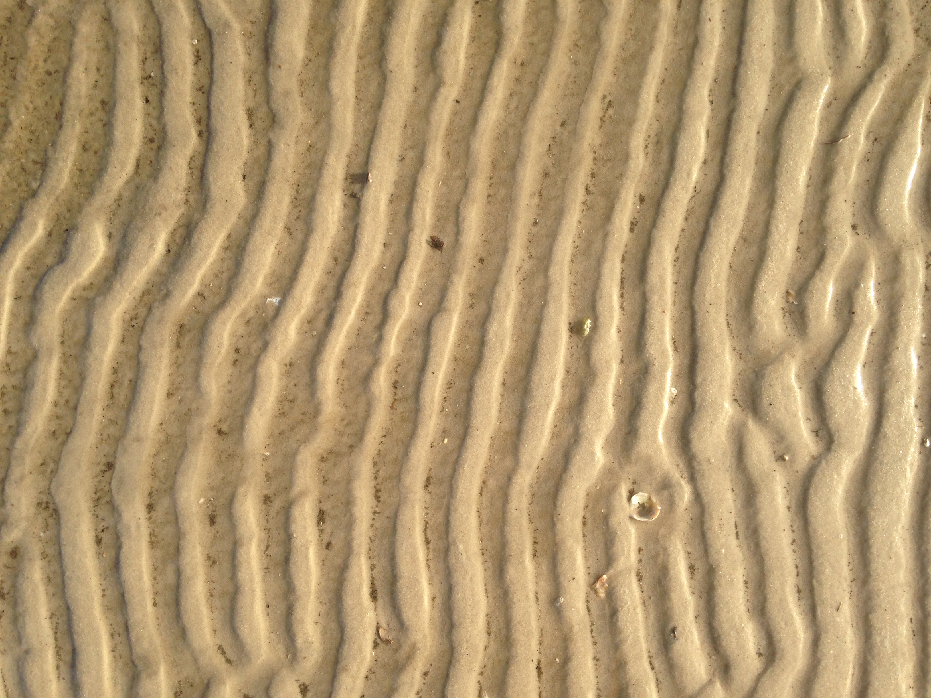
Sand Ridges

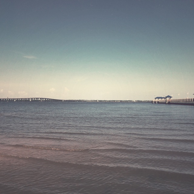
sunset behind the Bay St. Louis Bridge

The end of my walk on the Bay St. Louis Bridge
You come here often?
Beautiful day on the bay.
Cowan Point

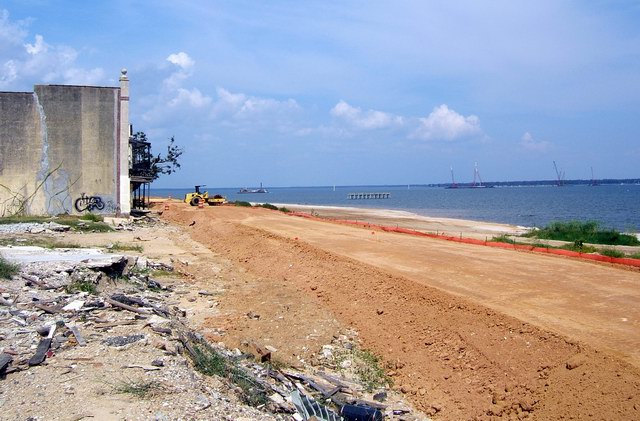
beach, constructed
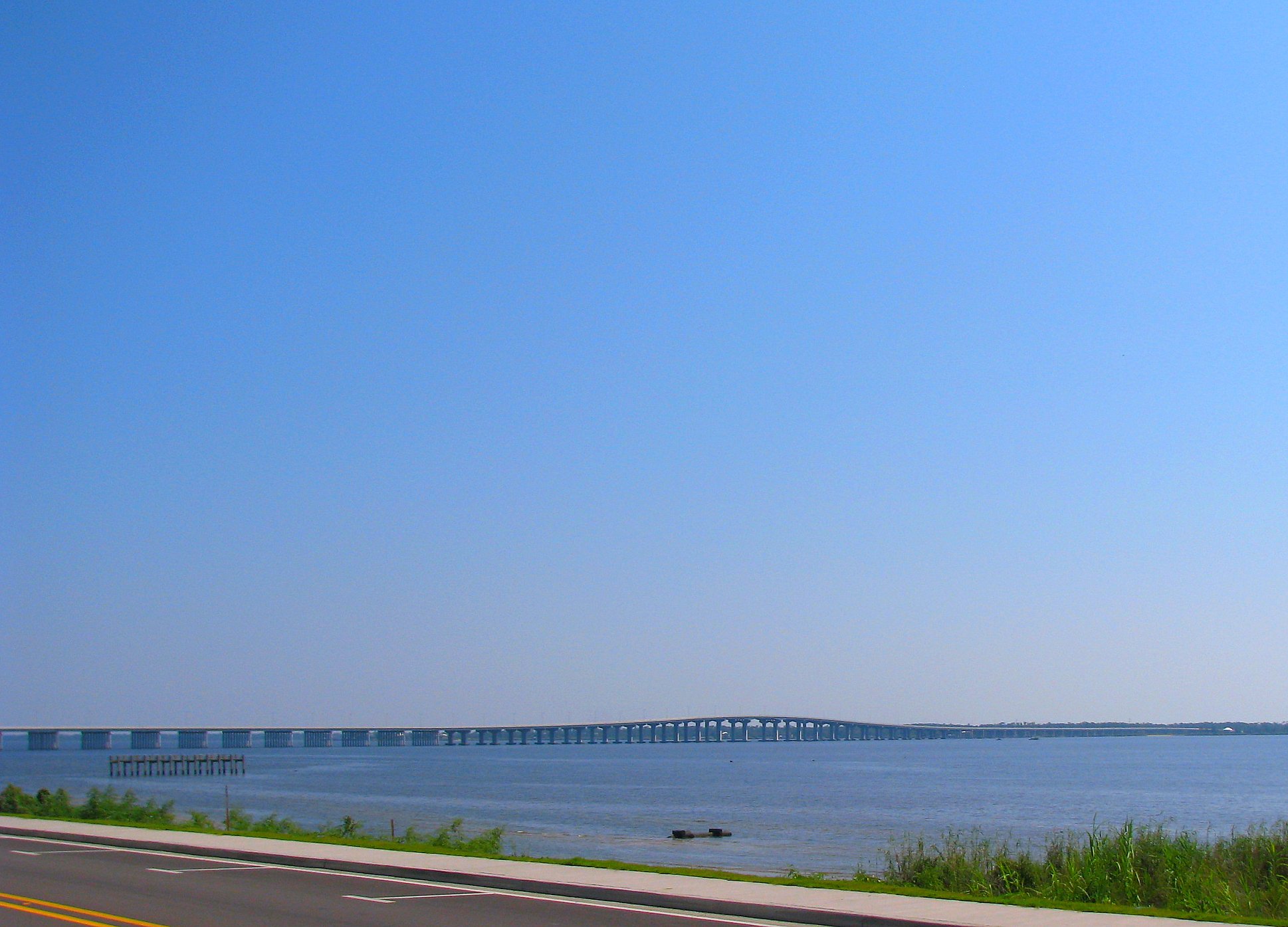
Highway 90 Bridge Over the Bay of St. Louis
18/365 Psalm 19:1

chucks 373
Waveland MS
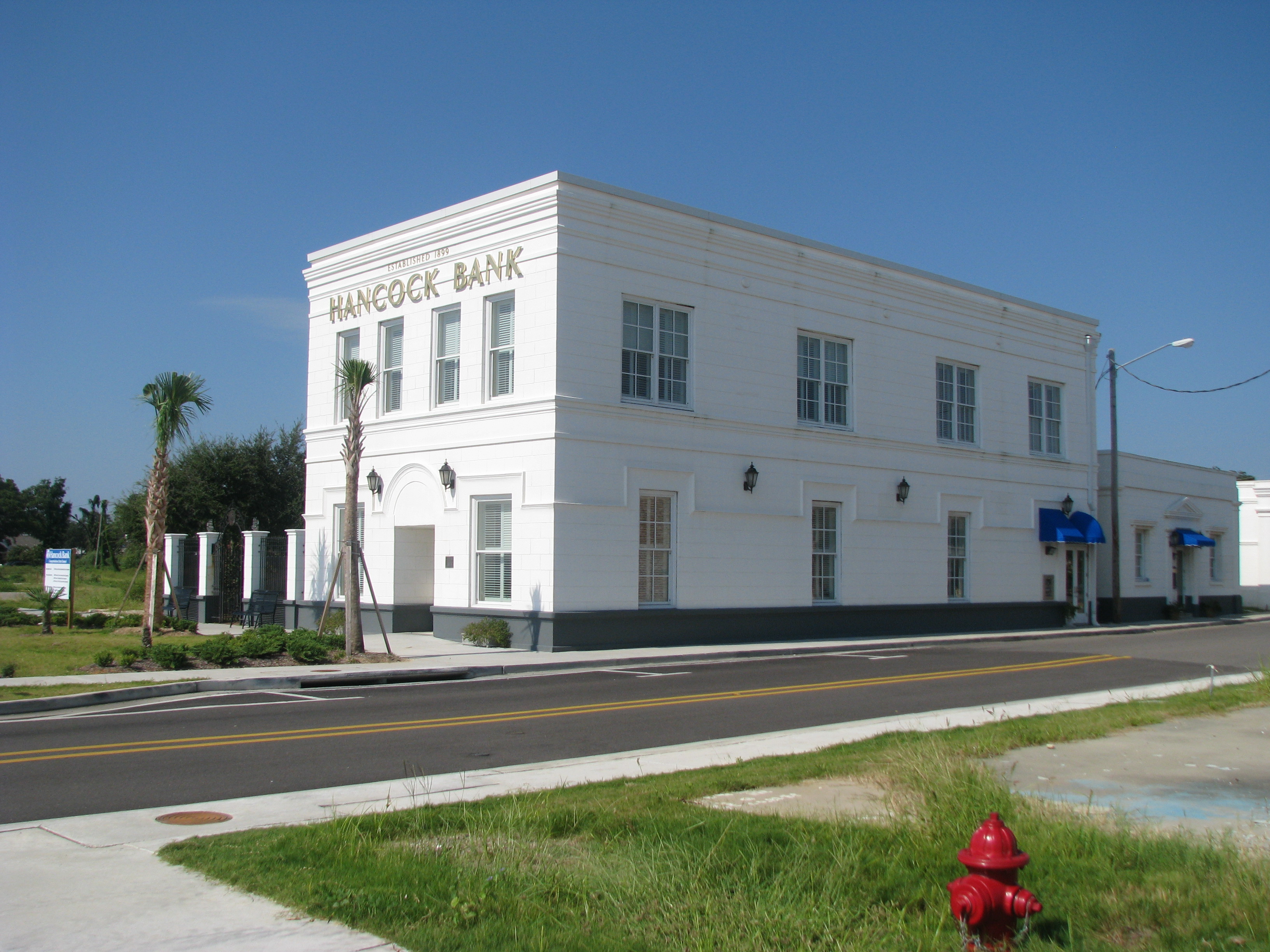
Hancock Bank Building in Bay St. Louis, Mississippi
Mississippi - Bay St Louis (2)
baystlouis 005
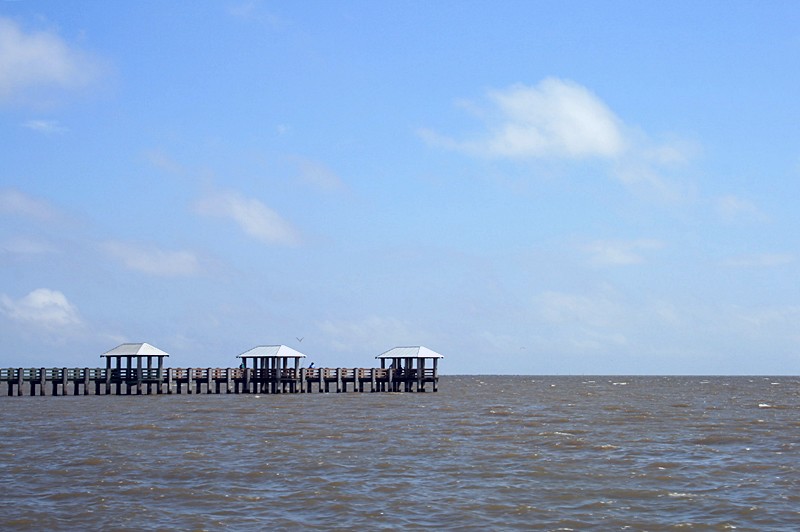
Pier in Waveland
Topographic Map of Rd, Kiln, MS, USA
Find elevation by address:

Places near Rd, Kiln, MS, USA:
17092 Rd 527
18534 Fenton Dedeaux Rd
17343 Rotten Bayou Rd
Firetower Road
Rotten Bayou Road
Runnymede Road
18390 Ms-603
Firetower Road
1687 Firetower Rd
1687 Firetower Rd
South Necaise Circle
Mississippi 603
8780 Kiln Delisle Rd
11100 Firetower Rd
28560 Sundance Rd
Road 357
23280 Billie Green Rd
23584 Ms-603
9341 Browns Rd
8084 Dummyline Rd
Recent Searches:
- Elevation of Elwyn Dr, Roanoke Rapids, NC, USA
- Elevation of Congressional Dr, Stevensville, MD, USA
- Elevation of Bellview Rd, McLean, VA, USA
- Elevation of Stage Island Rd, Chatham, MA, USA
- Elevation of Shibuya Scramble Crossing, 21 Udagawacho, Shibuya City, Tokyo -, Japan
- Elevation of Jadagoniai, Kaunas District Municipality, Lithuania
- Elevation of Pagonija rock, Kranto 7-oji g. 8"N, Kaunas, Lithuania
- Elevation of Co Rd 87, Jamestown, CO, USA
- Elevation of Tenjo, Cundinamarca, Colombia
- Elevation of Côte-des-Neiges, Montreal, QC H4A 3J6, Canada