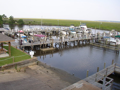
Elevation of Firetower Rd, Kiln, MS, USA
Location: United States > Mississippi > Hancock County > Kiln >
Longitude: -89.354253
Latitude: 30.4669045
Elevation: 30m / 98feet
Barometric Pressure: 101KPa
Related Photos:
Topographic Map of Firetower Rd, Kiln, MS, USA
Find elevation by address:

Places near Firetower Rd, Kiln, MS, USA:
1687 Firetower Rd
18534 Fenton Dedeaux Rd
28560 Sundance Rd
Runnymede Road
Rotten Bayou Road
3441 Rd 528
17343 Rotten Bayou Rd
8780 Kiln Delisle Rd
Firetower Road
17092 Rd 527
Road 357
South Necaise Circle
18390 Ms-603
Mississippi 603
Firetower Road
23280 Billie Green Rd
23584 Ms-603
27072 Standard Dedeaux Rd
11100 Firetower Rd
8084 Dummyline Rd
Recent Searches:
- Elevation of Congressional Dr, Stevensville, MD, USA
- Elevation of Bellview Rd, McLean, VA, USA
- Elevation of Stage Island Rd, Chatham, MA, USA
- Elevation of Shibuya Scramble Crossing, 21 Udagawacho, Shibuya City, Tokyo -, Japan
- Elevation of Jadagoniai, Kaunas District Municipality, Lithuania
- Elevation of Pagonija rock, Kranto 7-oji g. 8"N, Kaunas, Lithuania
- Elevation of Co Rd 87, Jamestown, CO, USA
- Elevation of Tenjo, Cundinamarca, Colombia
- Elevation of Côte-des-Neiges, Montreal, QC H4A 3J6, Canada
- Elevation of Bobcat Dr, Helena, MT, USA


