Elevation of Rd, Hotchkiss, CO, USA
Location: United States > Colorado > Hotchkiss >
Longitude: -107.83672
Latitude: 38.8646408
Elevation: 2009m / 6591feet
Barometric Pressure: 79KPa
Elevation Map:
Satellite Map:
Related Photos:

Old farm equipment #2
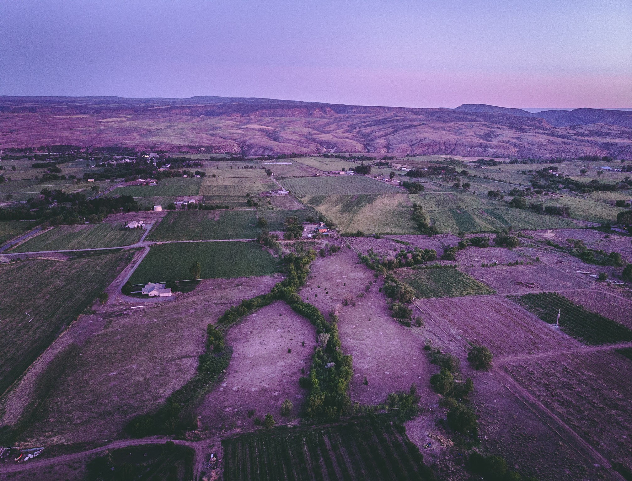
A view of the North fork valley from above.

5/365

Gunnison Gorge (Explore)

A good garden may have some weeds…

Old farm equipment #1

Orchard City, CO

Powdered Hills

Highway 92 - Delta County, CO

Gunnison Gorge from the trail

Mountain View Bible Church

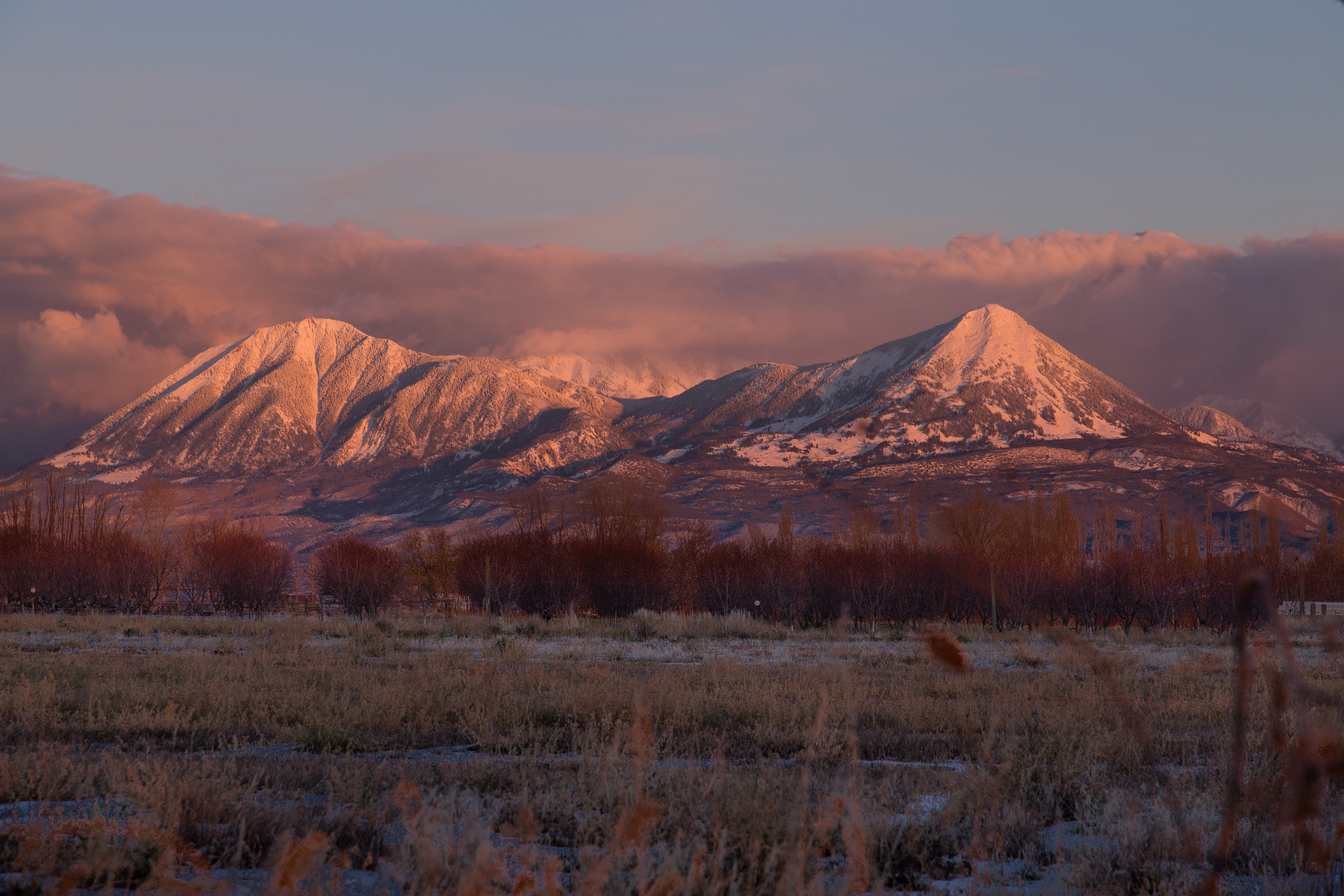
View of #Mount #Lamborn (#Elevation 11,402 ft (3,475 m)) #shrouded in #clouds as seen from Hotchkiss #Colorado Cemetery. The #Hotchkiss #Homestead, established in #1886 can be seen in the foreground.

North Fork varnish
Sunset after Storm Clearing

Fired up sunset over the Delta County dobies
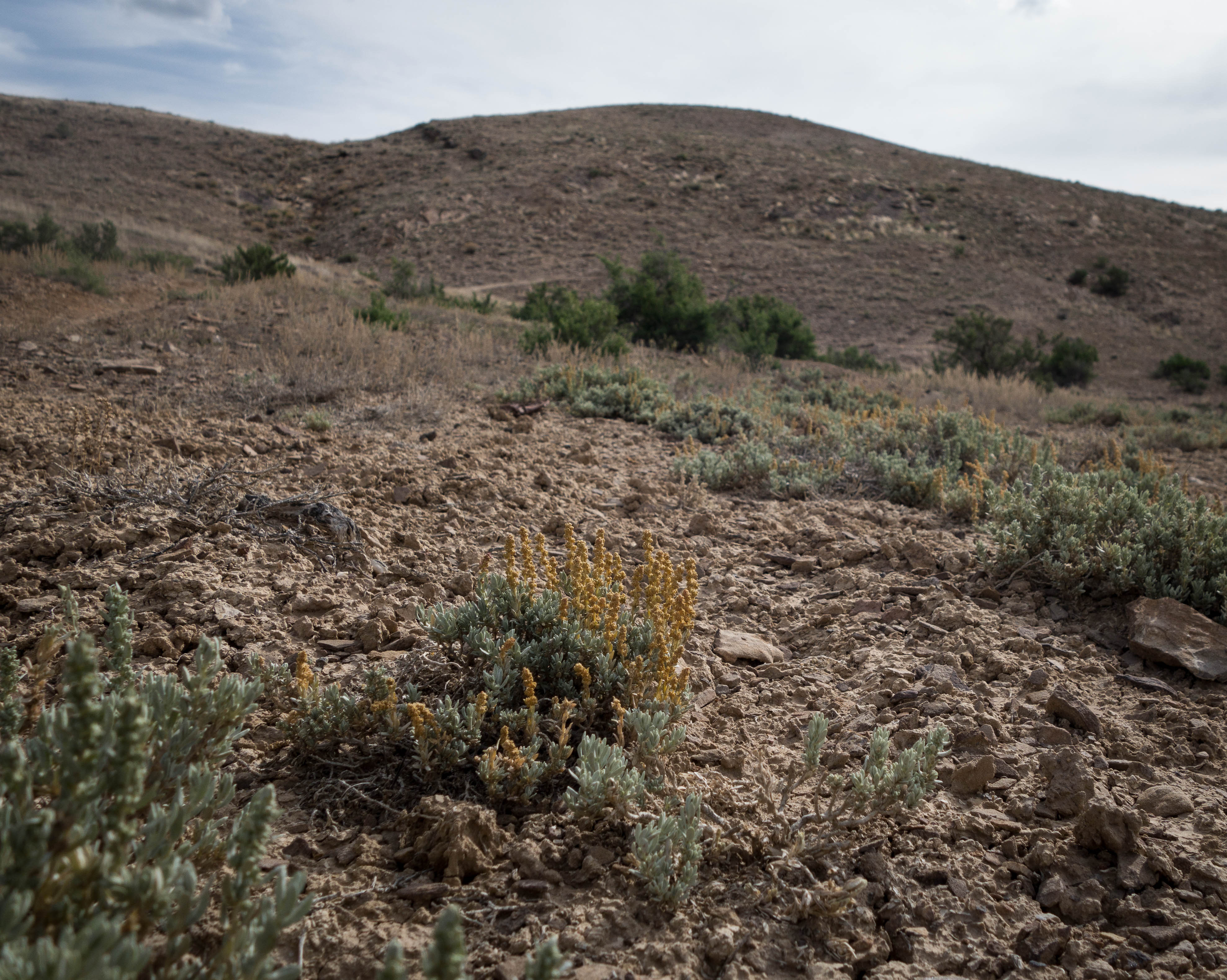
Saltbush in the Dobies

Sand Hill's

Patches of color in the drab landscape

The Cottenwood in winter

Fluffy happy clouds

River's Bend

Austin Hoseshoe

Adobe Horses

North Fork Coal II

Mesas in the storm

Gunnison Gorge 2
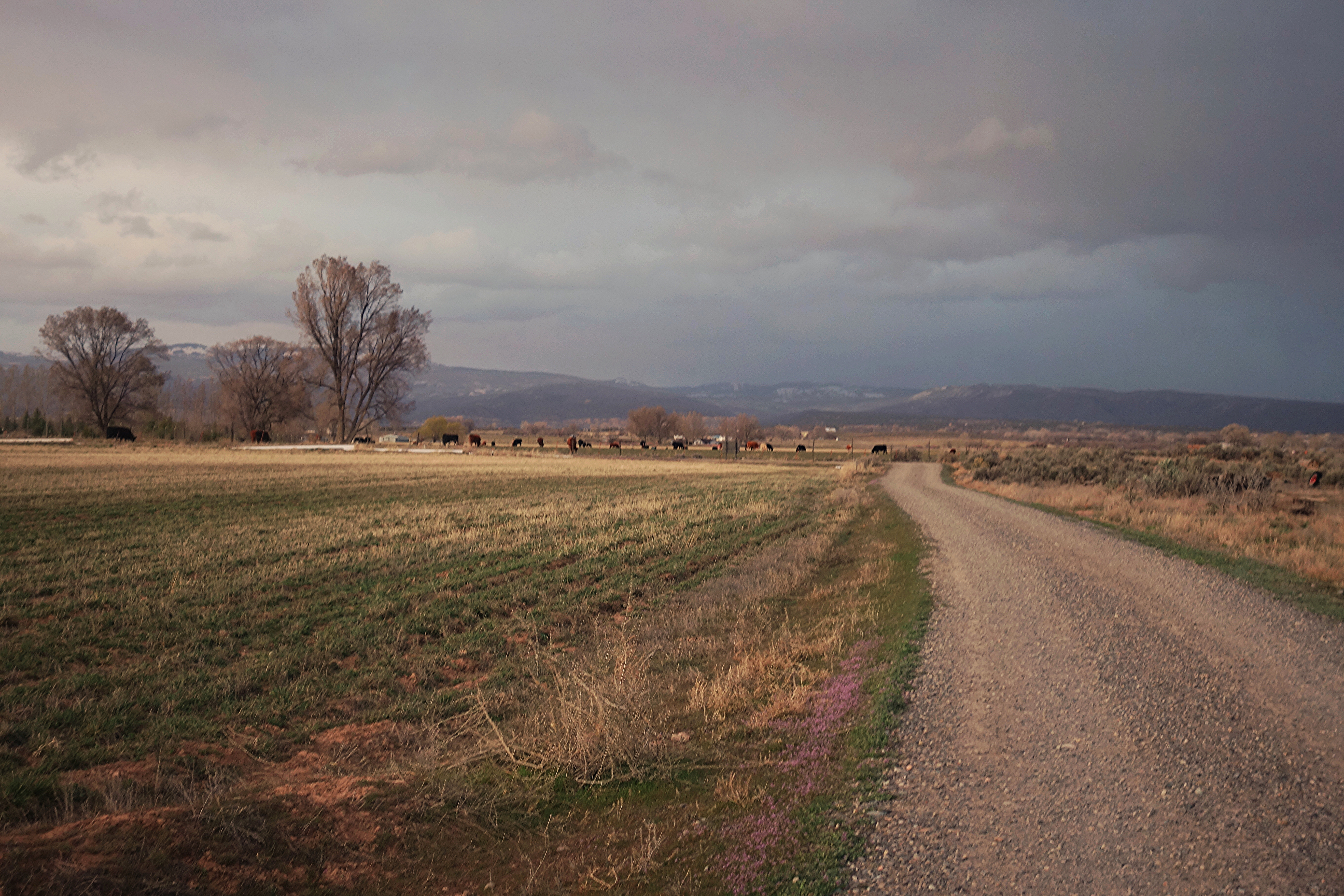
Colorado farmland
Topographic Map of Rd, Hotchkiss, CO, USA
Find elevation by address:

Places near Rd, Hotchkiss, CO, USA:
28444 Redlands Mesa Rd
2750 Lane
27997 P25
14769 Rimrock Rd
28511 P25
26647 Redlands Mesa Rd
26516 Redlands Mesa Rd
27154 Cedar Mesa Rd
P 50 Road
P 50 Road
17554 Current Creek Rd
Rapid Creek Road
30476 Redlands Mesa Rd
26986 Cactus Park Rd
15823 Peach Rd
13599 2600 Rd
17679 2550 Rd
Delta County
24821 Cactus Park Rd
Ember Road
Recent Searches:
- Elevation of 15th Ave SE, St. Petersburg, FL, USA
- Elevation of Beall Road, Beall Rd, Florida, USA
- Elevation of Leguwa, Nepal
- Elevation of County Rd, Enterprise, AL, USA
- Elevation of Kolchuginsky District, Vladimir Oblast, Russia
- Elevation of Shustino, Vladimir Oblast, Russia
- Elevation of Lampiasi St, Sarasota, FL, USA
- Elevation of Elwyn Dr, Roanoke Rapids, NC, USA
- Elevation of Congressional Dr, Stevensville, MD, USA
- Elevation of Bellview Rd, McLean, VA, USA