Elevation of Rimrock Rd, Hotchkiss, CO, USA
Location: United States > Colorado > Hotchkiss >
Longitude: -107.853
Latitude: 38.8712
Elevation: 1916m / 6286feet
Barometric Pressure: 80KPa
Elevation Map:
Satellite Map:
Related Photos:
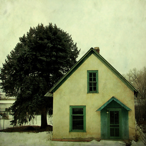
5/365

Old farm equipment #2
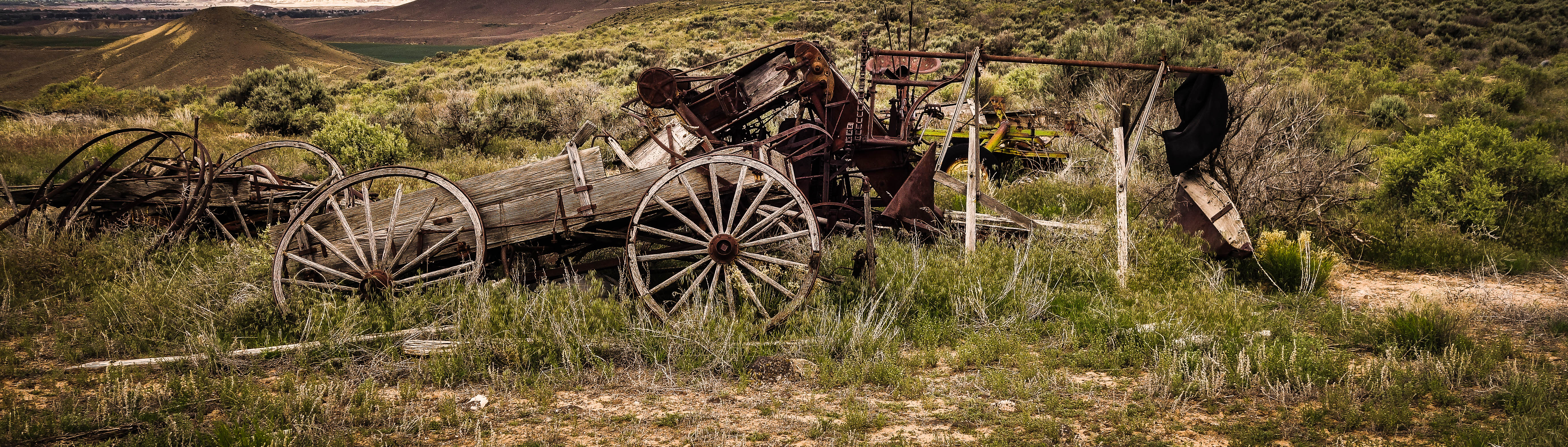
Old farm equipment #1

A good garden may have some weeds…
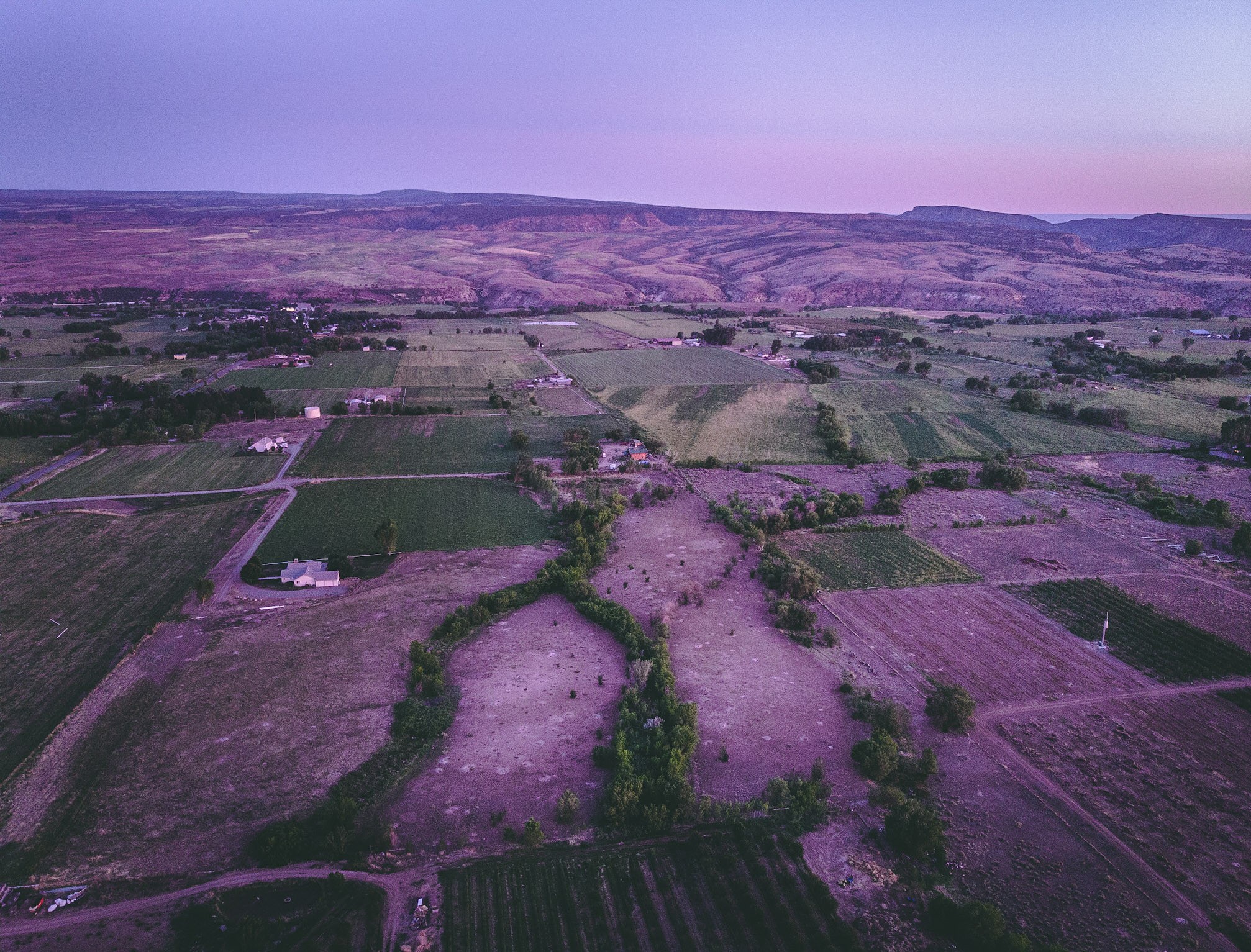
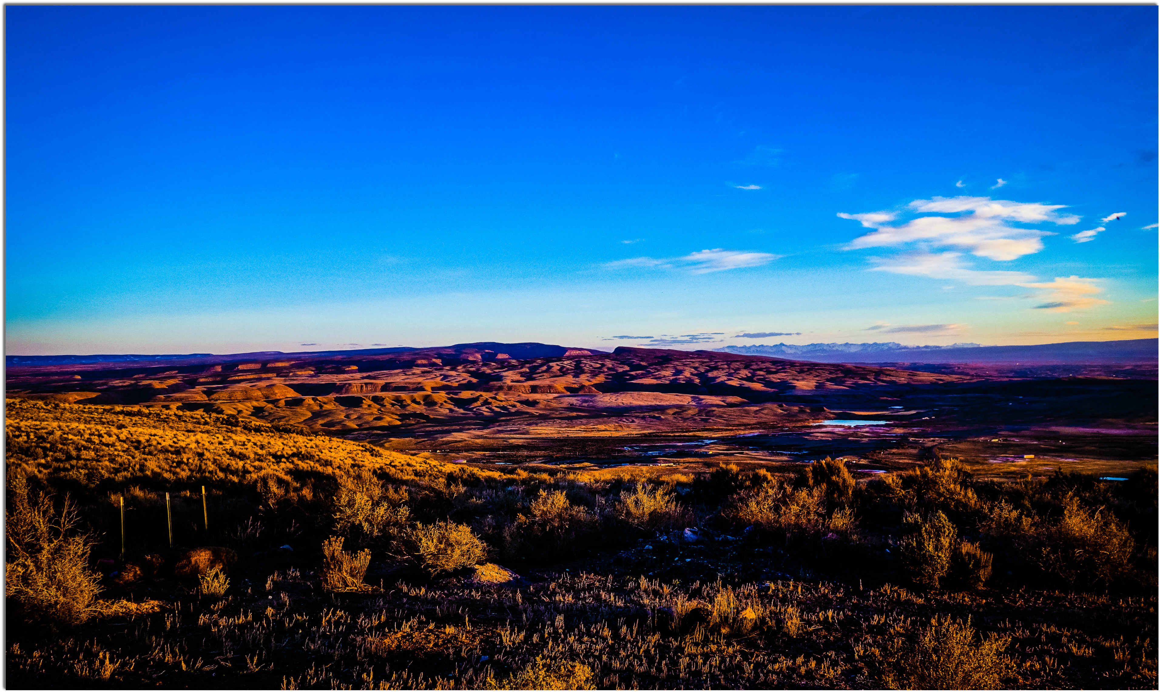
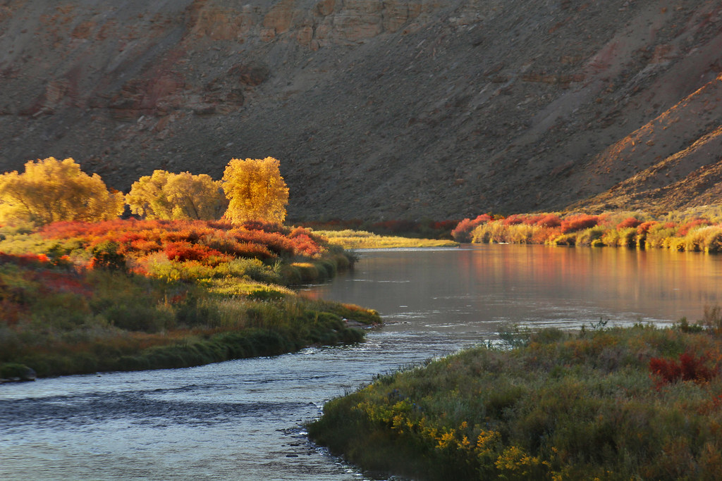
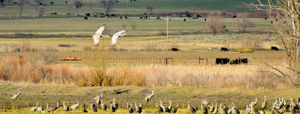
A view of the North fork valley from above.
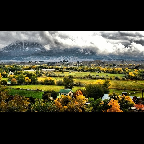
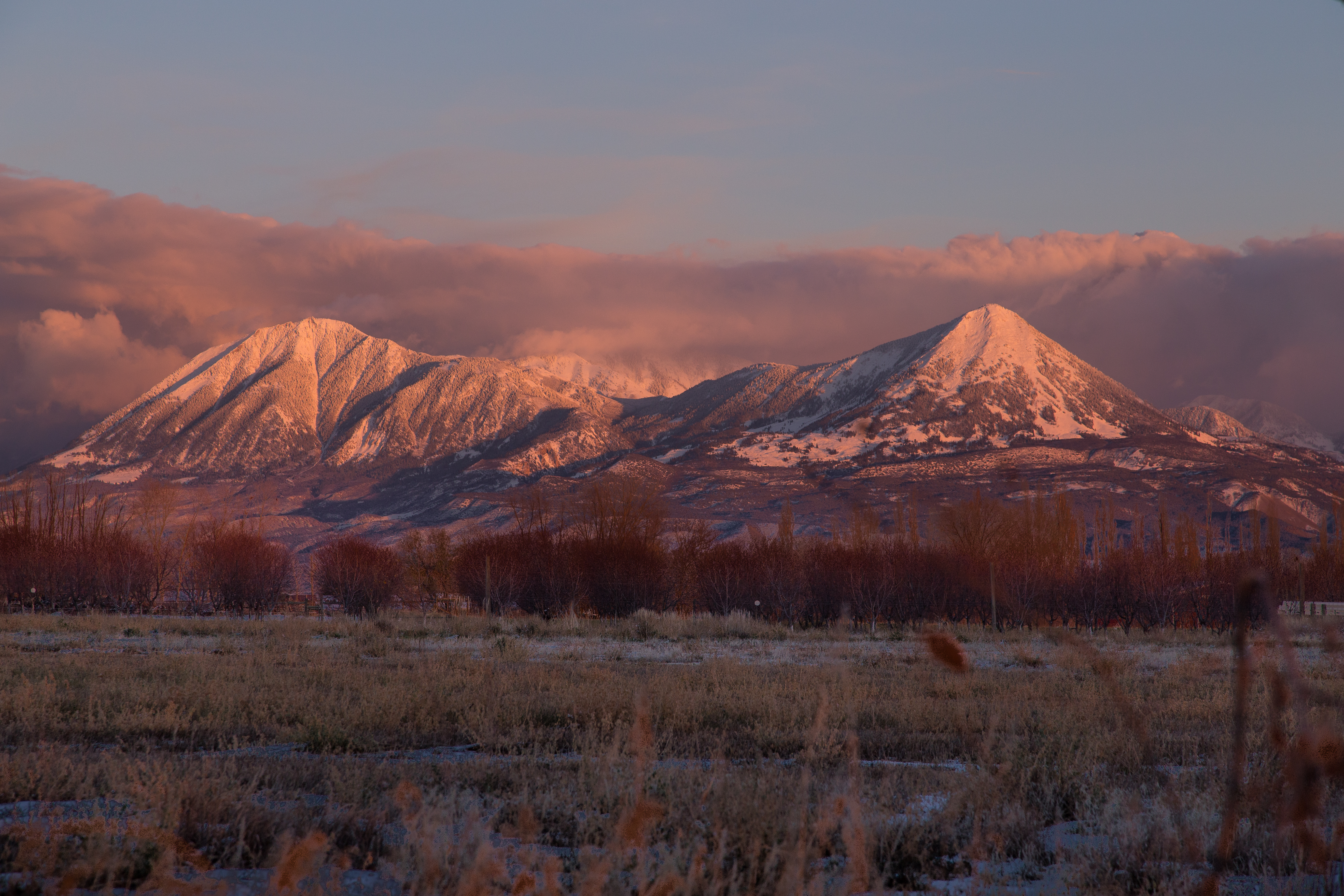
View of #Mount #Lamborn (#Elevation 11,402 ft (3,475 m)) #shrouded in #clouds as seen from Hotchkiss #Colorado Cemetery. The #Hotchkiss #Homestead, established in #1886 can be seen in the foreground.

Powdered Hills
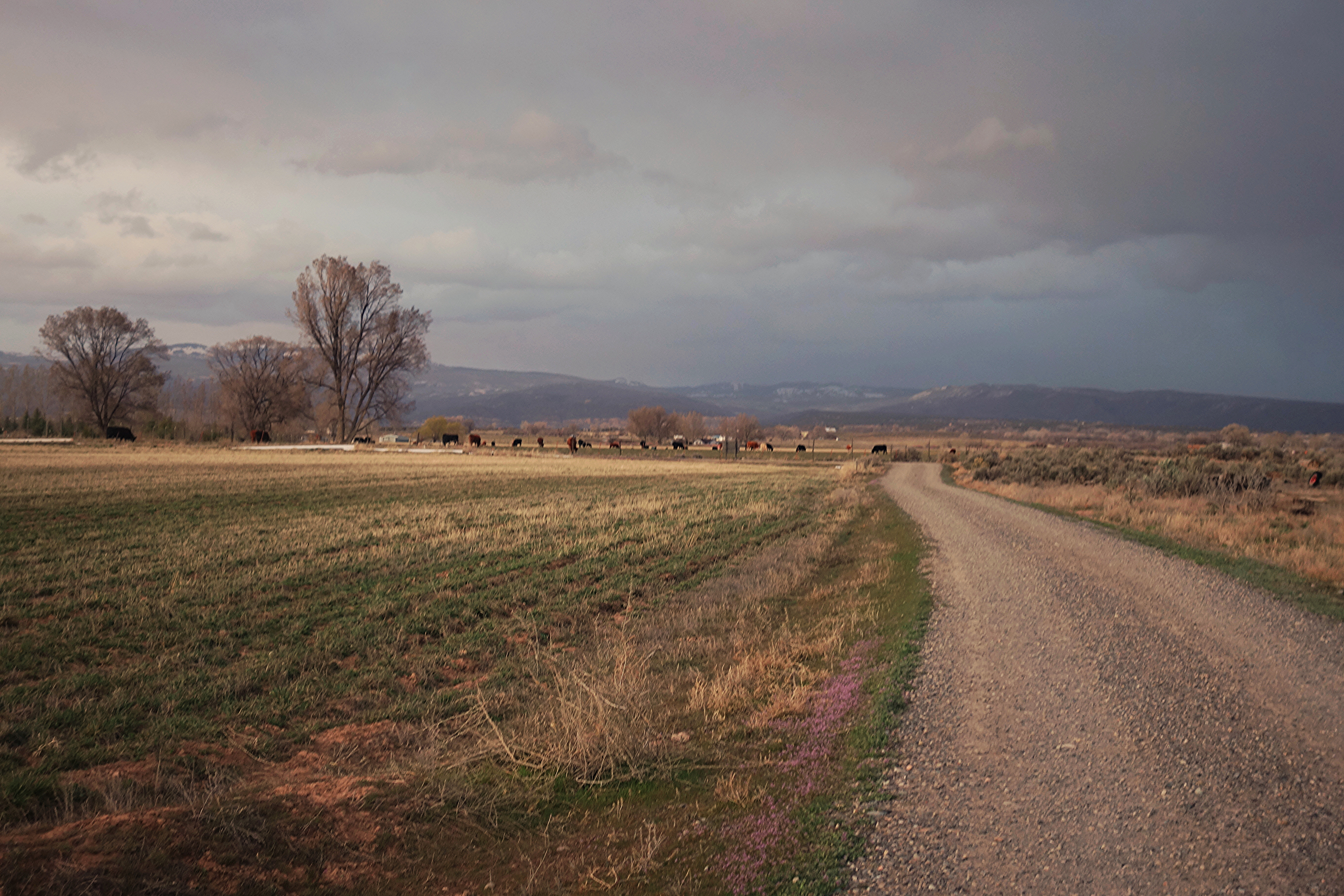
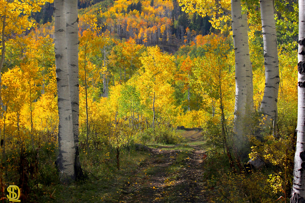
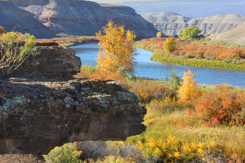
Colorado farmland
Fired up sunset over the Delta County dobies
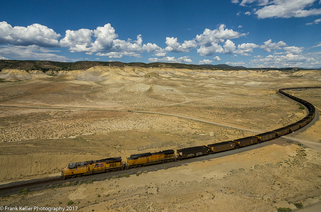
North Fork Coal II

Gunnison Gorge Highway
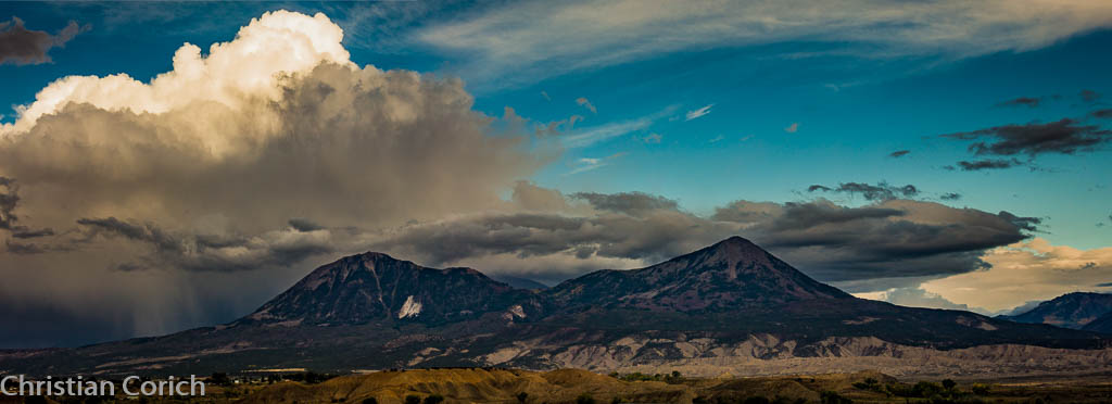
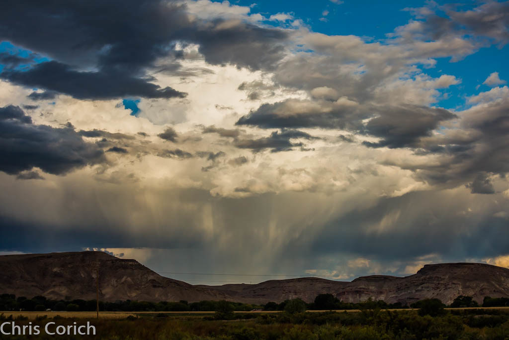
Sunset after Storm Clearing

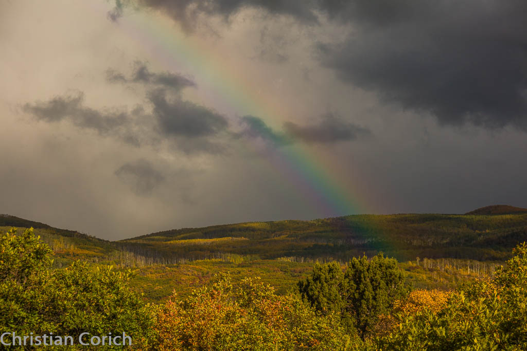
Fluffy happy clouds

Winter 2009-2

The Cottenwood in winter
Gunnison Gorge 2
_C1A1418-Pano.jpg

_C1A1418-Pano.jpg
Surface Creek Sideroad
_C1A1414.jpg
Sand Hill's
Gunnison Gorge 1
_C1A1415.jpg
H75 Road
Topographic Map of Rimrock Rd, Hotchkiss, CO, USA
Find elevation by address:

Places near Rimrock Rd, Hotchkiss, CO, USA:
2750 Lane
26647 Redlands Mesa Rd
14418 2800 Rd
27154 Cedar Mesa Rd
27997 P25
26516 Redlands Mesa Rd
28444 Redlands Mesa Rd
28511 P25
17554 Current Creek Rd
26986 Cactus Park Rd
15823 Peach Rd
13599 2600 Rd
P 50 Road
P 50 Road
17679 2550 Rd
24821 Cactus Park Rd
Rapid Creek Road
Ember Road
30476 Redlands Mesa Rd
475 Se Birdie Cir
Recent Searches:
- Elevation of Felindre, Swansea SA5 7LU, UK
- Elevation of Leyte Industrial Development Estate, Isabel, Leyte, Philippines
- Elevation of W Granada St, Tampa, FL, USA
- Elevation of Pykes Down, Ivybridge PL21 0BY, UK
- Elevation of Jalan Senandin, Lutong, Miri, Sarawak, Malaysia
- Elevation of Bilohirs'k
- Elevation of 30 Oak Lawn Dr, Barkhamsted, CT, USA
- Elevation of Luther Road, Luther Rd, Auburn, CA, USA
- Elevation of Unnamed Road, Respublika Severnaya Osetiya — Alaniya, Russia
- Elevation of Verkhny Fiagdon, North Ossetia–Alania Republic, Russia