Elevation of Rayle, GA, USA
Location: United States > Georgia > Oglethorpe County >
Longitude: -82.899868
Latitude: 33.7898457
Elevation: 204m / 669feet
Barometric Pressure: 99KPa
Elevation Map:
Satellite Map:
Related Photos:
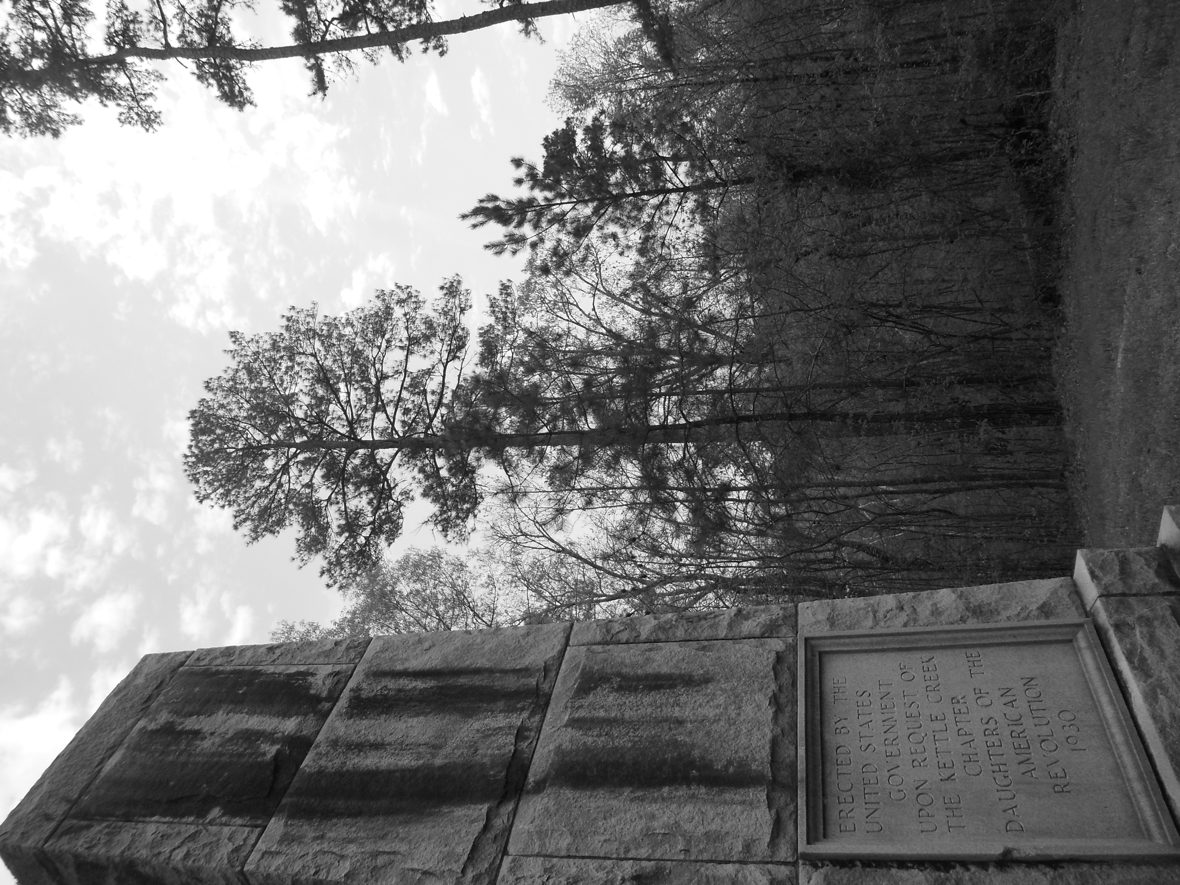
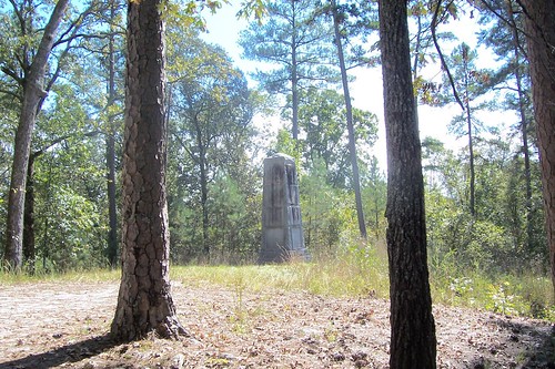
Kettle Creek Battlefield Memorial
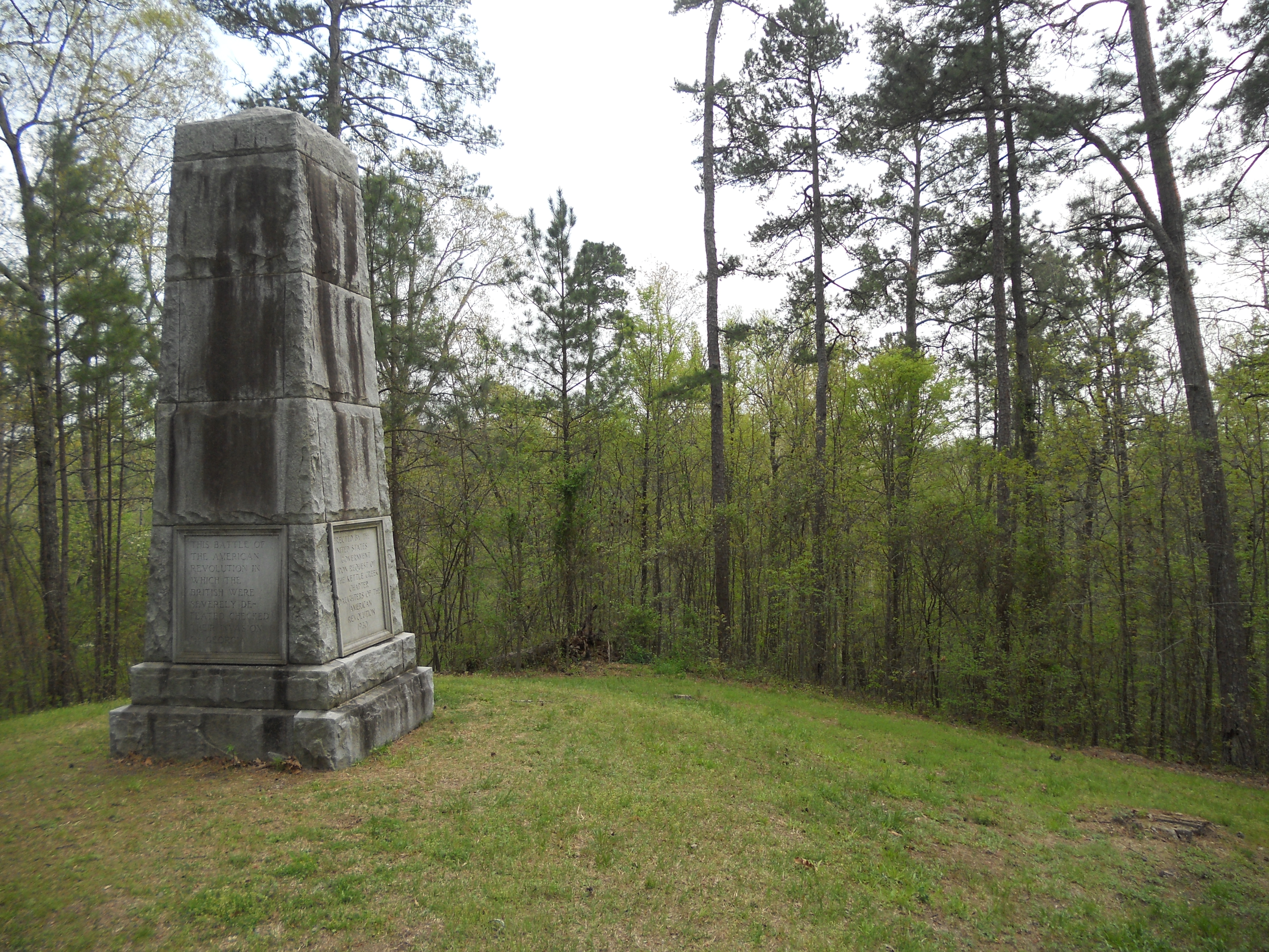
Kettle Creek Battlefield Memorial
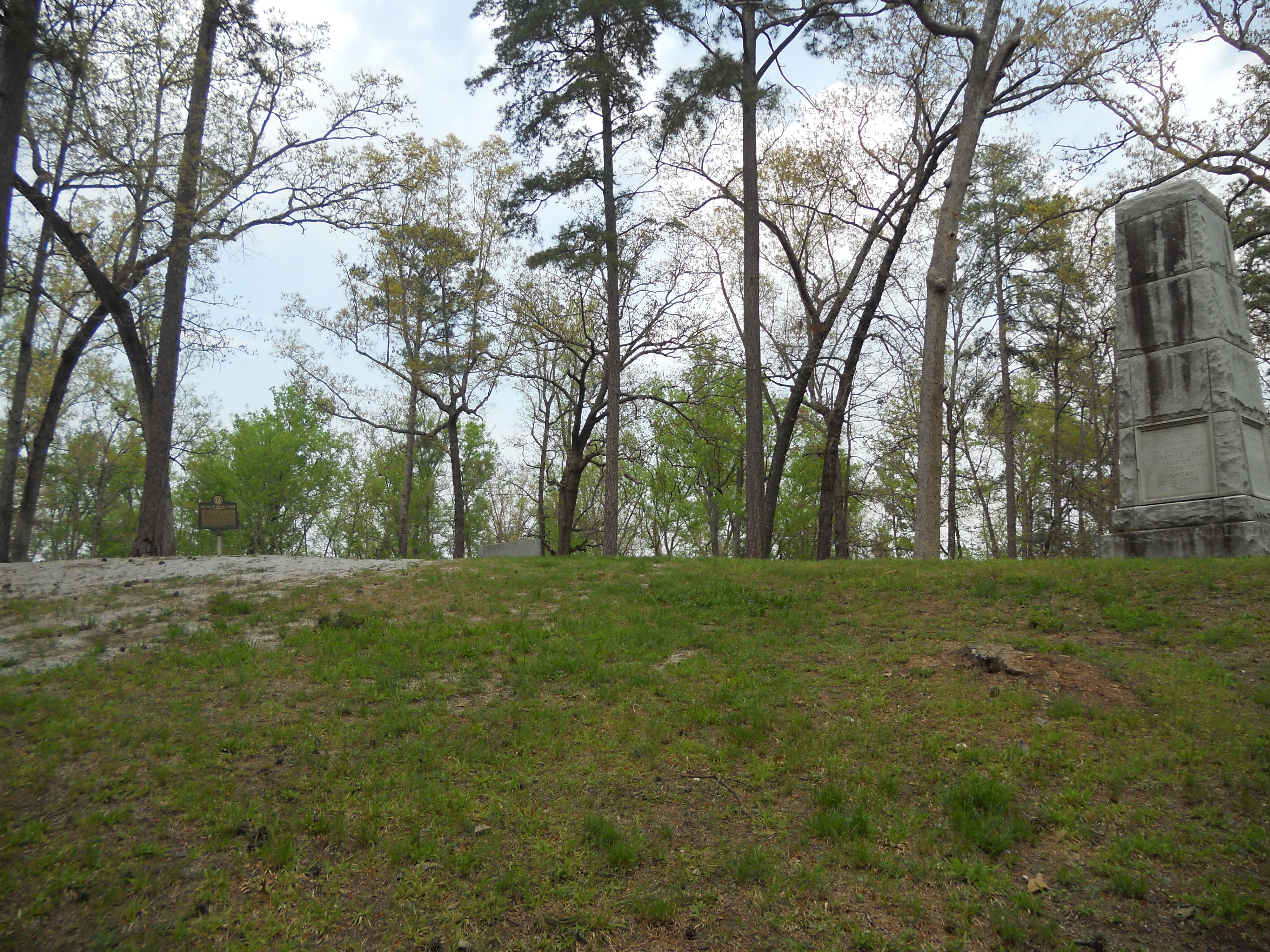
Kettle Creek Battlefield

Kettle Creek Battlefield Memorial
Kettle Creek Battlefield
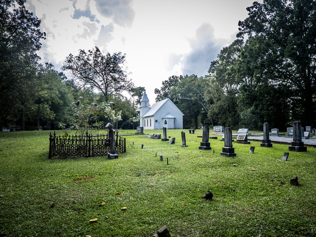
Philomath Church Cemetery
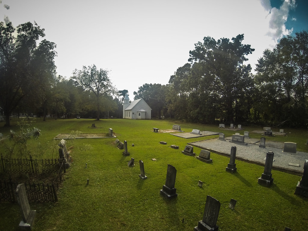
Philomath Church Cemetery
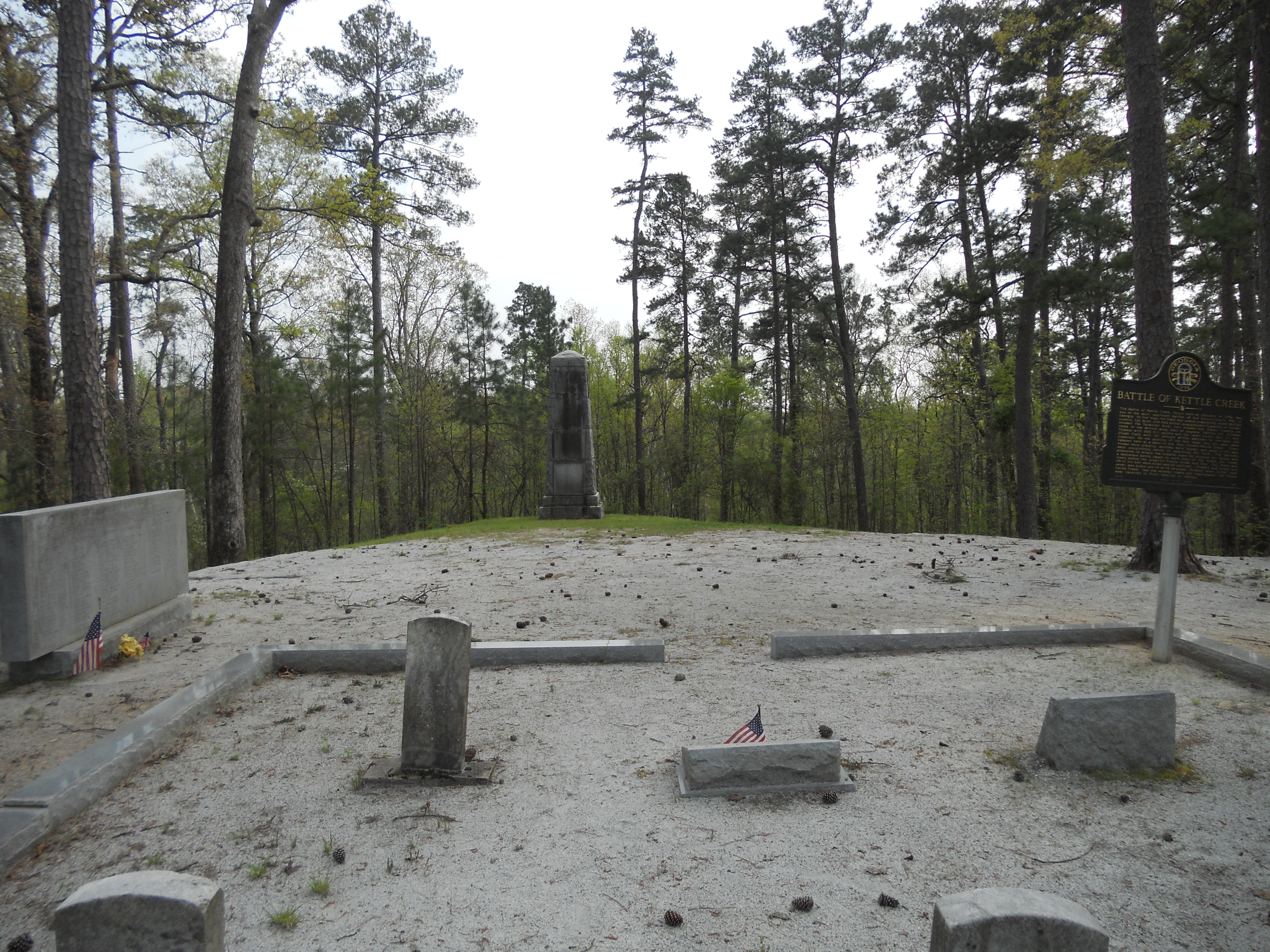
Battle of Kettle Creek, Wilkes County, GA
Philomath Church Cemetery
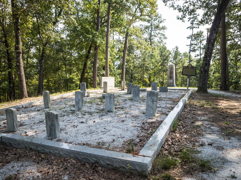
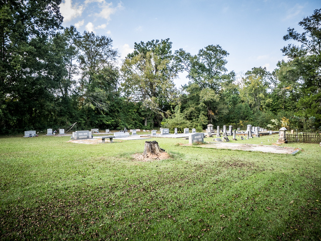
Kettle Creek Battlefield Cemetery
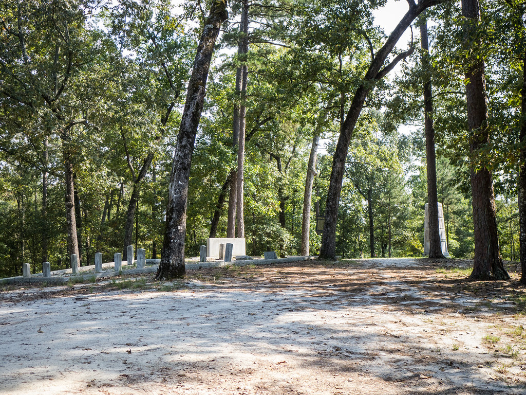
Kettle Creek Battlefield
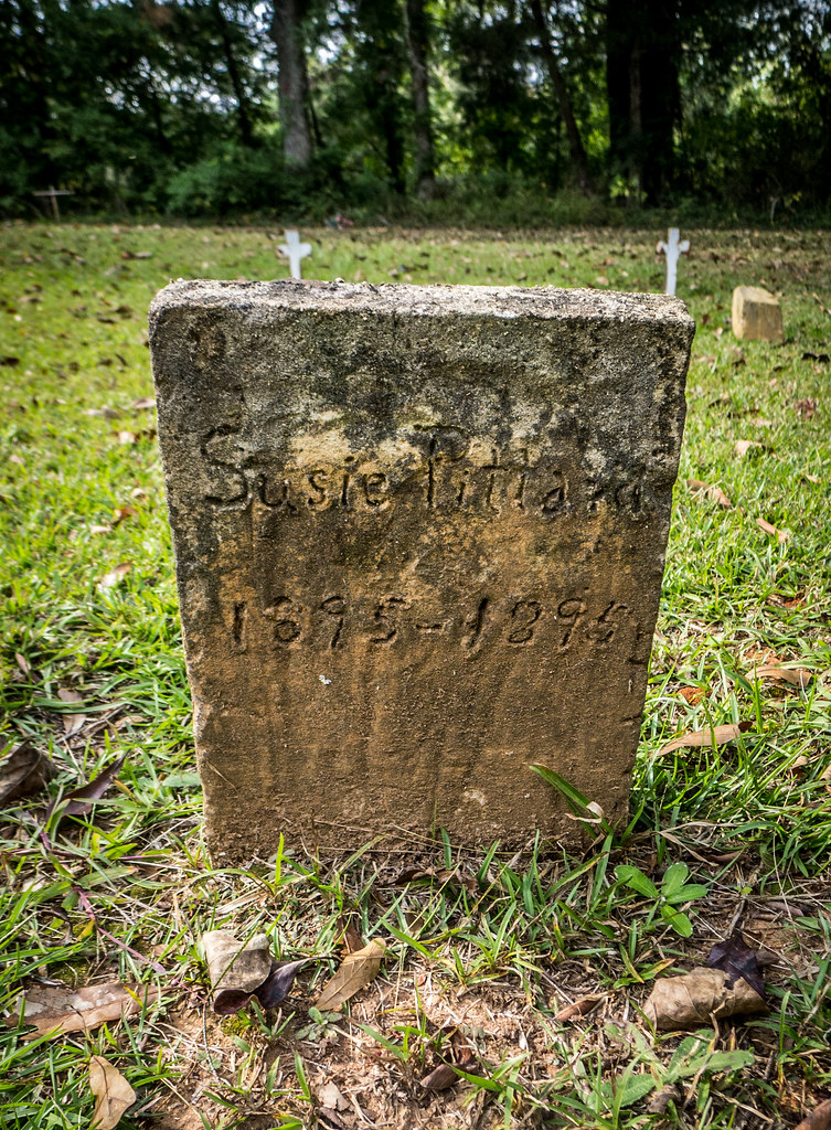
Philomath Church Cemetery
Topographic Map of Rayle, GA, USA
Find elevation by address:

Places in Rayle, GA, USA:
Places near Rayle, GA, USA:
Callaway Rd, Rayle, GA, USA
1115 Moore Rd
Clark Station Church Rd, Tignall, GA, USA
Wilkes County
Elberton Rd, Carlton, GA, USA
15 New Hope Vesta Rd, Carlton, GA, USA
Tignall
24 Saxon Mattox Rd, Carlton, GA, USA
3535 Elberton Rd
2057 River Rd
River Rd, Elberton, GA, USA
Danburg
Washington Hwy, Elberton, GA, USA
1348 Lexington Hwy
Elbert County
Fendley Dr, Tignall, GA, USA
Elberton Hwy, Tignall, GA, USA
Cook St, Elberton, GA, USA
Main Street Elberton
Elberton
Recent Searches:
- Elevation of Lampiasi St, Sarasota, FL, USA
- Elevation of Elwyn Dr, Roanoke Rapids, NC, USA
- Elevation of Congressional Dr, Stevensville, MD, USA
- Elevation of Bellview Rd, McLean, VA, USA
- Elevation of Stage Island Rd, Chatham, MA, USA
- Elevation of Shibuya Scramble Crossing, 21 Udagawacho, Shibuya City, Tokyo -, Japan
- Elevation of Jadagoniai, Kaunas District Municipality, Lithuania
- Elevation of Pagonija rock, Kranto 7-oji g. 8"N, Kaunas, Lithuania
- Elevation of Co Rd 87, Jamestown, CO, USA
- Elevation of Tenjo, Cundinamarca, Colombia