Elevation of Moore Rd, Rayle, GA, USA
Location: United States > Georgia > Oglethorpe County > Rayle >
Longitude: -82.896613
Latitude: 33.8288596
Elevation: 164m / 538feet
Barometric Pressure: 99KPa
Elevation Map:
Satellite Map:
Related Photos:
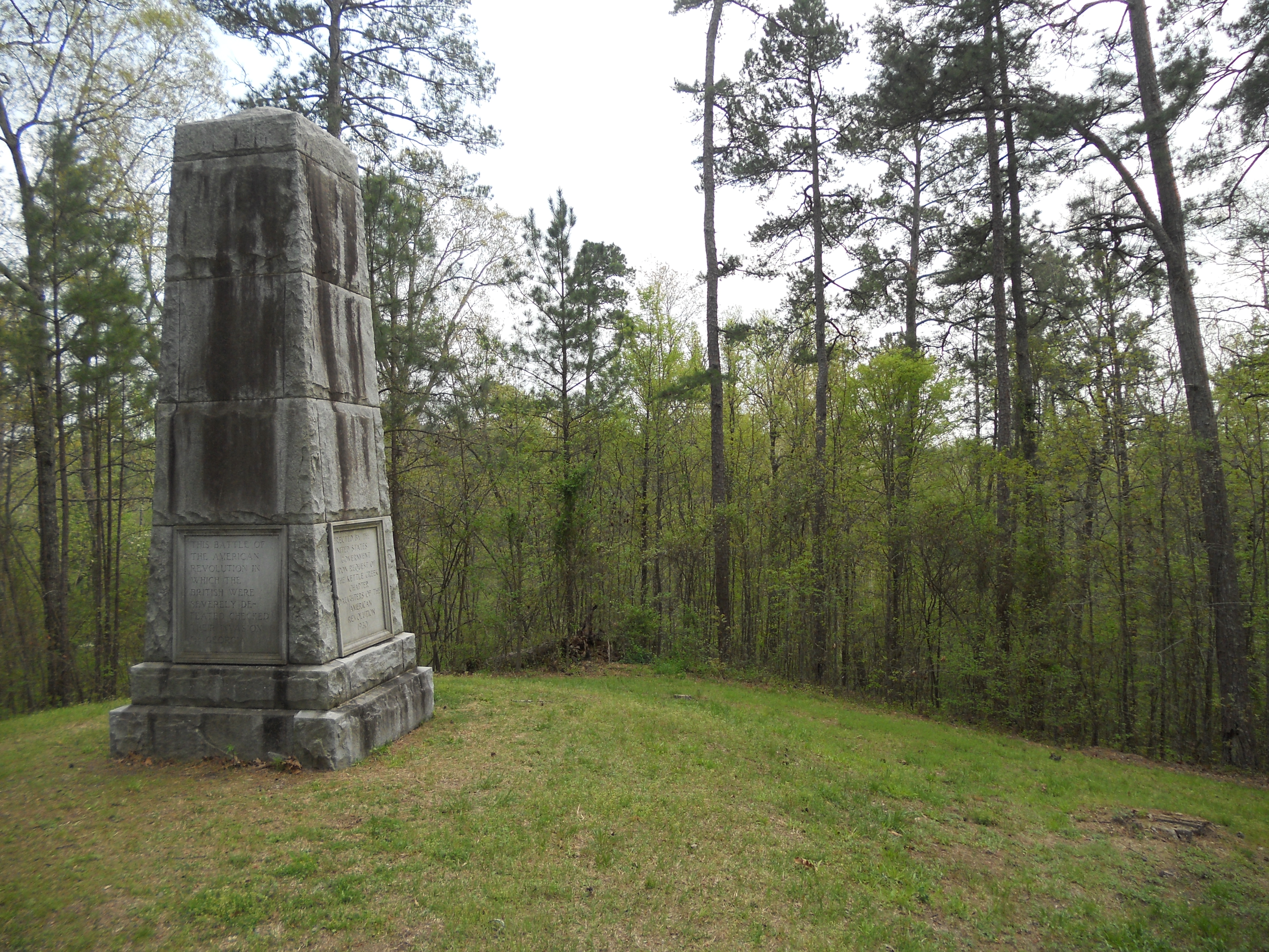
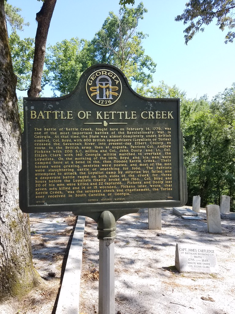
Kettle Creek Battlefield Memorial

Kettle Creek Battlefield Memorial
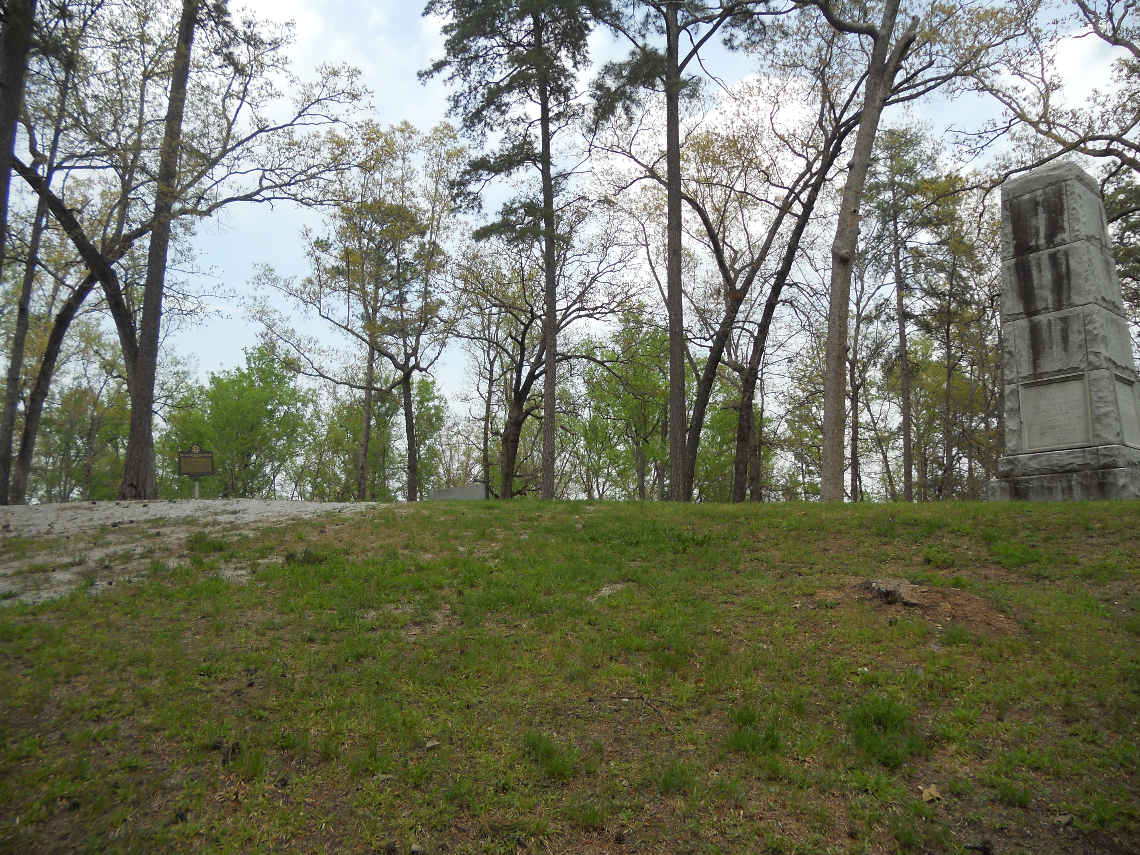
Kettle Creek Battlefield

Philomath Church Cemetery
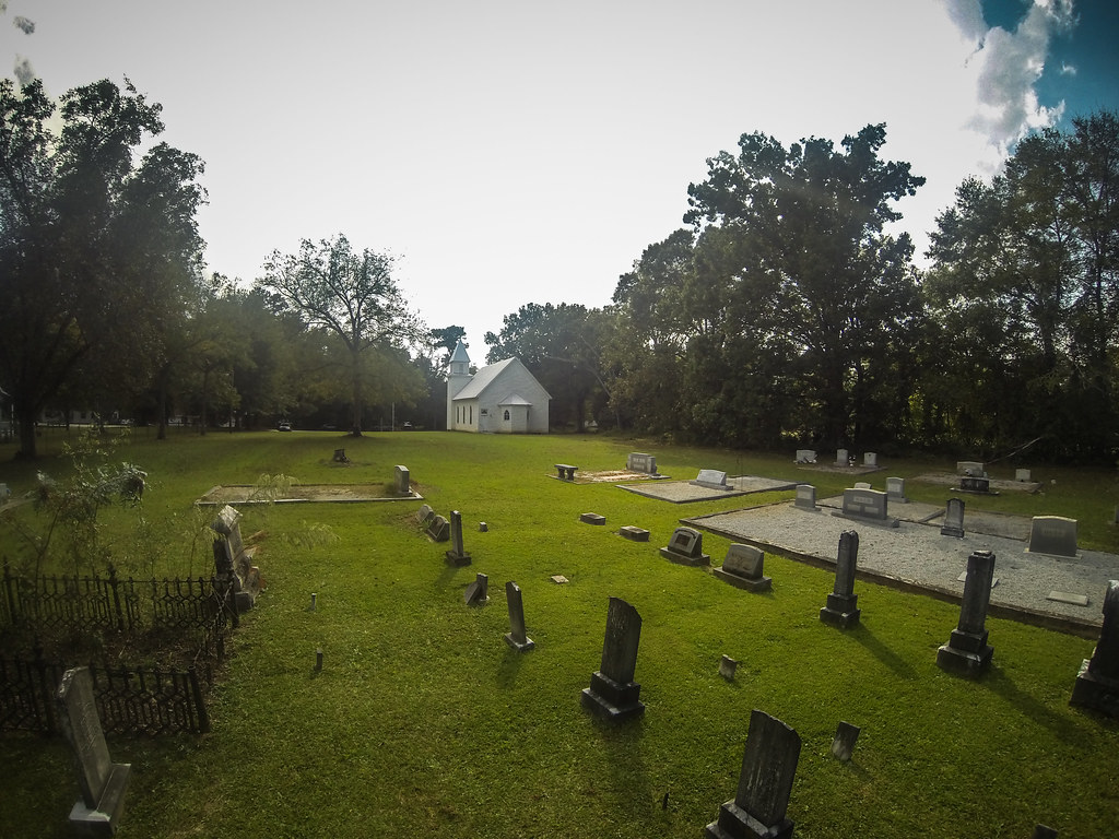
Philomath Church Cemetery
Philomath Church Cemetery
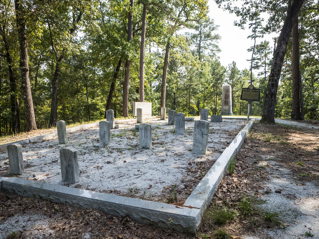
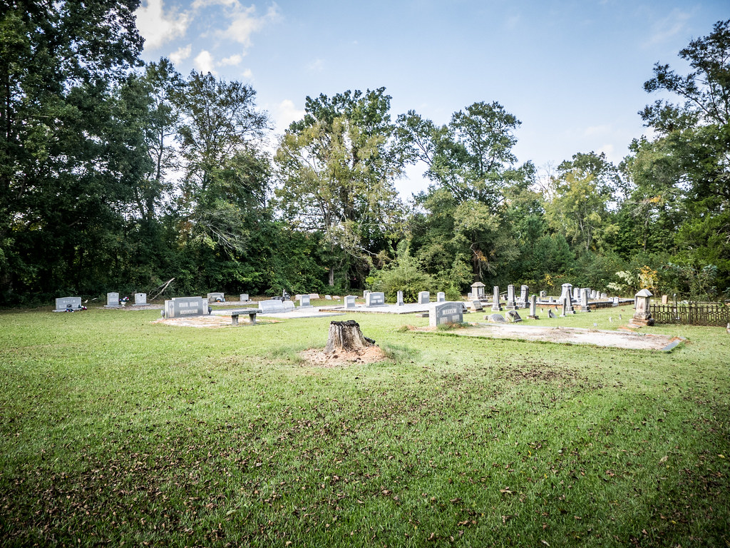
Kettle Creek Battlefield Cemetery
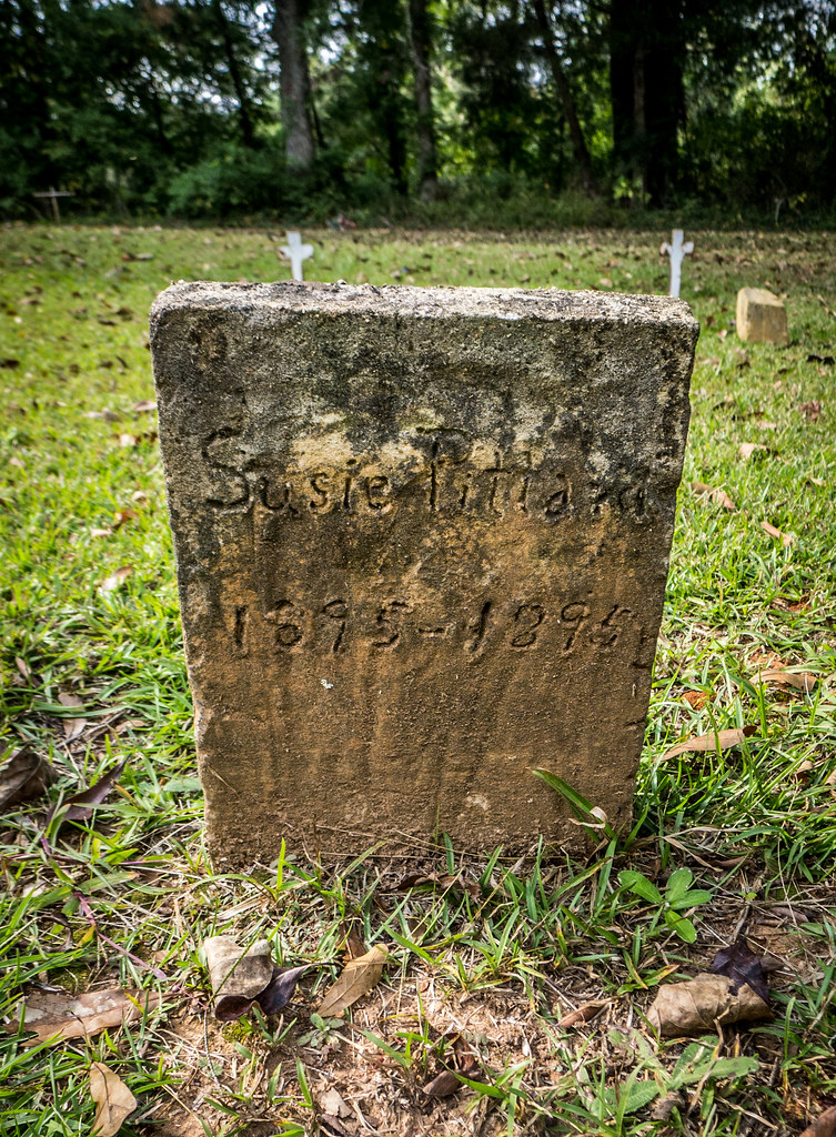
Philomath Church Cemetery
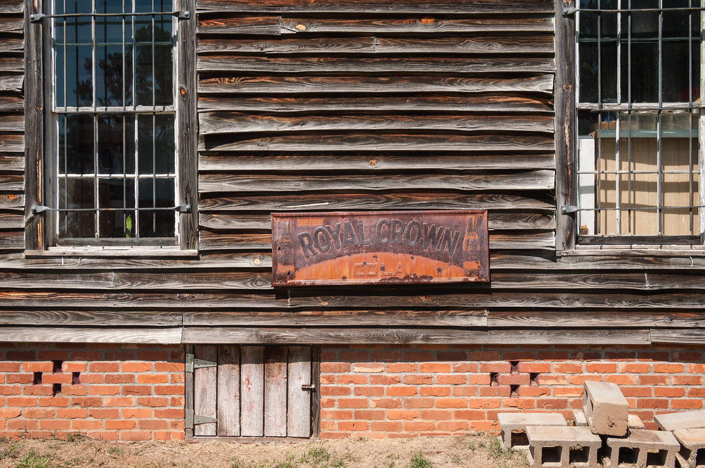
Royal Crown
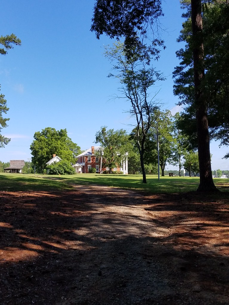
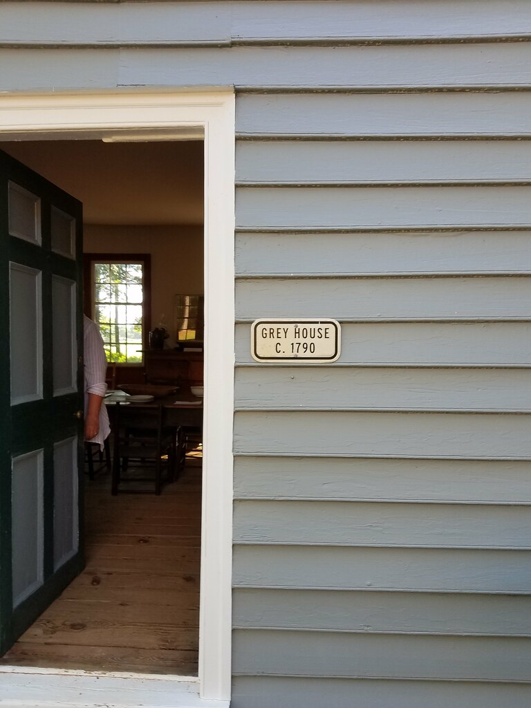
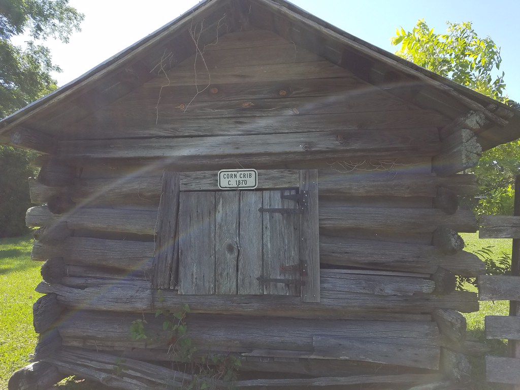
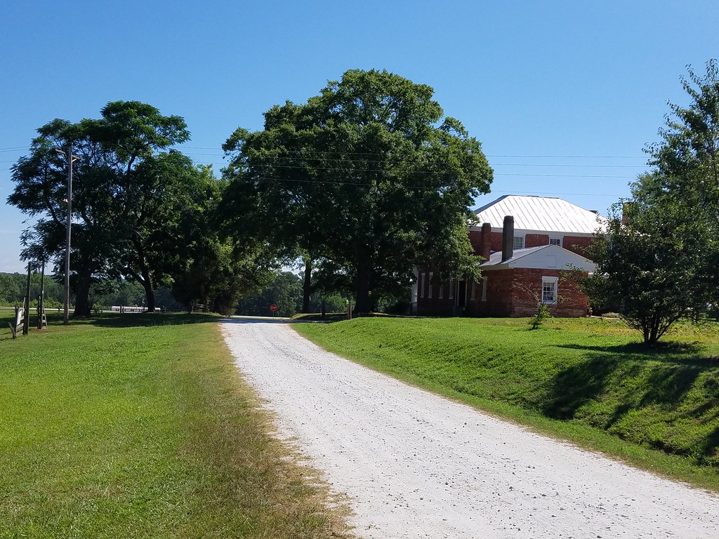
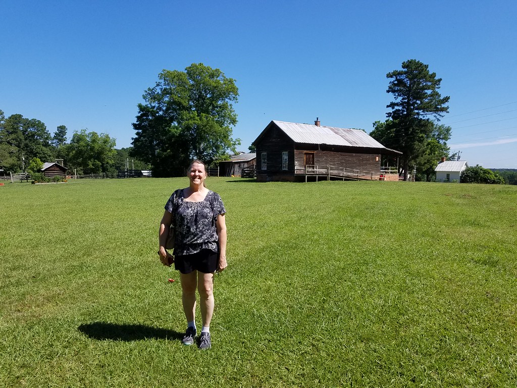
Our Trip To Washington, Georgia and the Callaway Plantation.
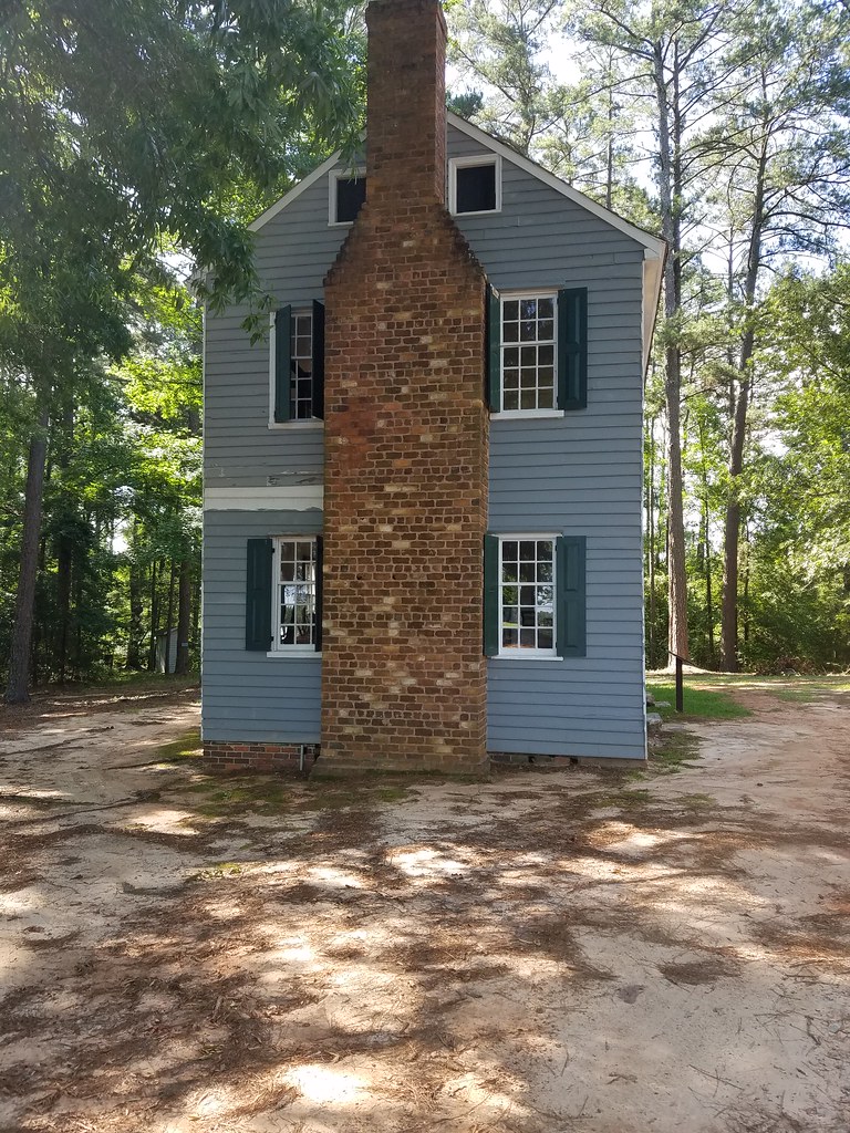
Our Trip To Washington, Georgia and the Callaway Plantation.
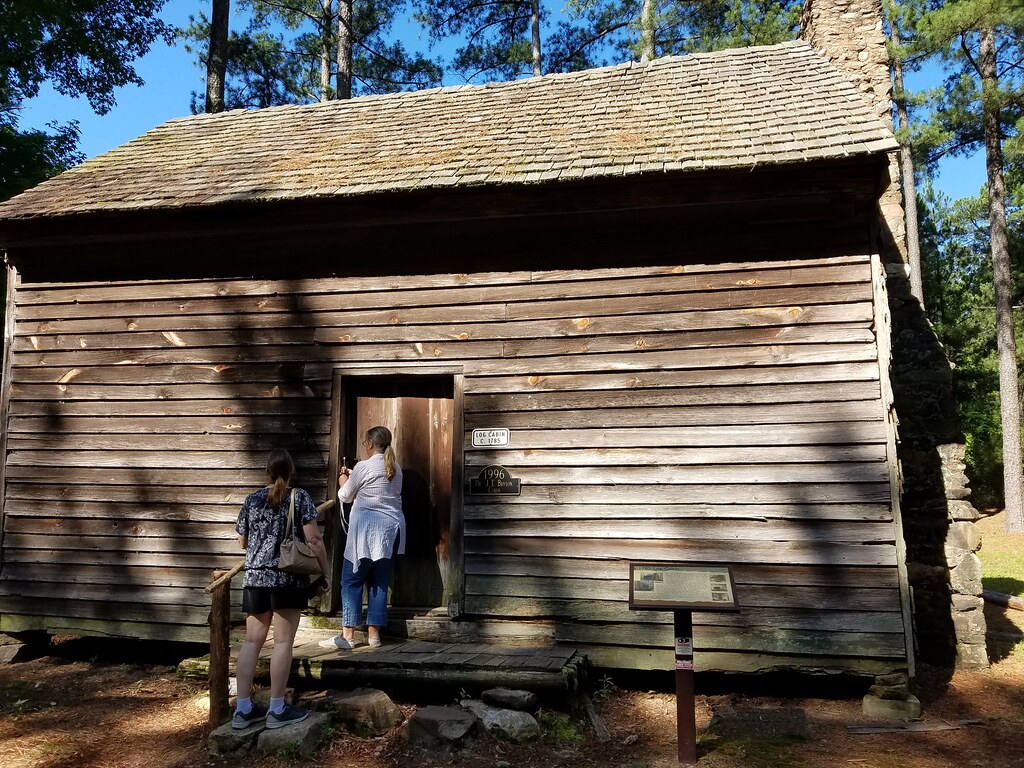
Our Trip To Washington, Georgia and the Callaway Plantation.
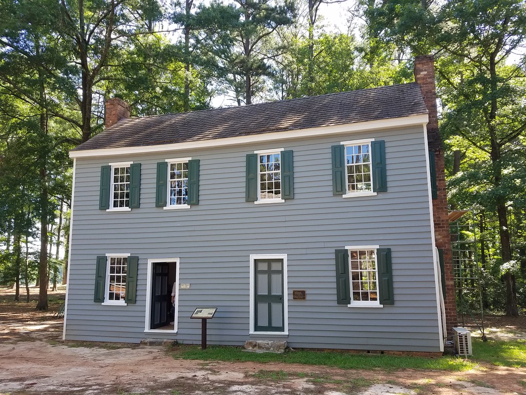
Our Trip To Washington, Georgia and the Callaway Plantation.
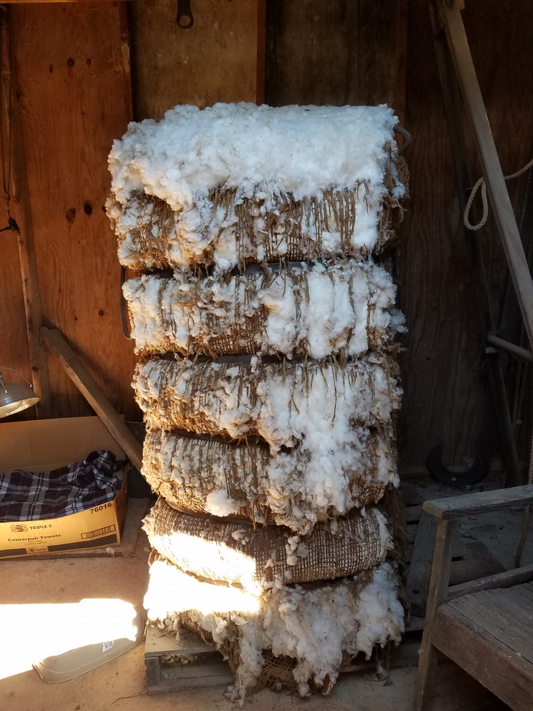
Our Trip To Washington, Georgia and the Callaway Plantation.
Our Trip To Washington, Georgia and the Callaway Plantation.
Our Trip To Washington, Georgia and the Callaway Plantation.
Our Trip To Washington, Georgia and the Callaway Plantation.
Our Trip To Washington, Georgia and the Callaway Plantation.
Our Trip To Washington, Georgia and the Callaway Plantation.

Our Trip To Washington, Georgia and the Callaway Plantation.
Our Trip To Washington, Georgia and the Callaway Plantation.

Our Trip To Washington, Georgia and the Callaway Plantation.
When you Have a Need

No Loitering
Topographic Map of Moore Rd, Rayle, GA, USA
Find elevation by address:

Places near Moore Rd, Rayle, GA, USA:
Callaway Rd, Rayle, GA, USA
Rayle
Clark Station Church Rd, Tignall, GA, USA
Wilkes County
Elberton Rd, Carlton, GA, USA
15 New Hope Vesta Rd, Carlton, GA, USA
24 Saxon Mattox Rd, Carlton, GA, USA
Tignall
3535 Elberton Rd
2057 River Rd
River Rd, Elberton, GA, USA
Washington Hwy, Elberton, GA, USA
1348 Lexington Hwy
Danburg
Elbert County
Cook St, Elberton, GA, USA
Main Street Elberton
Elberton
33 W Railroad St
Fendley Dr, Tignall, GA, USA
Recent Searches:
- Elevation of Fern Rd, Whitmore, CA, USA
- Elevation of 62 Abbey St, Marshfield, MA, USA
- Elevation of Fernwood, Bradenton, FL, USA
- Elevation of Felindre, Swansea SA5 7LU, UK
- Elevation of Leyte Industrial Development Estate, Isabel, Leyte, Philippines
- Elevation of W Granada St, Tampa, FL, USA
- Elevation of Pykes Down, Ivybridge PL21 0BY, UK
- Elevation of Jalan Senandin, Lutong, Miri, Sarawak, Malaysia
- Elevation of Bilohirs'k
- Elevation of 30 Oak Lawn Dr, Barkhamsted, CT, USA