Elevation of Ray Township, IN, USA
Location: United States > Indiana > Morgan County >
Longitude: -86.600624
Latitude: 39.4162338
Elevation: 220m / 722feet
Barometric Pressure: 99KPa
Elevation Map:
Satellite Map:
Related Photos:

234/365 - Cinema 67

Sunny Day

All Lined Up

Mural at Martinsville Laundry

Mural at Martinsville Laundry
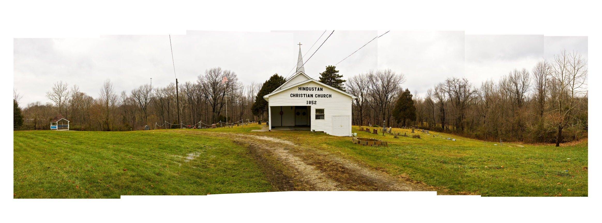
Hindustan wide
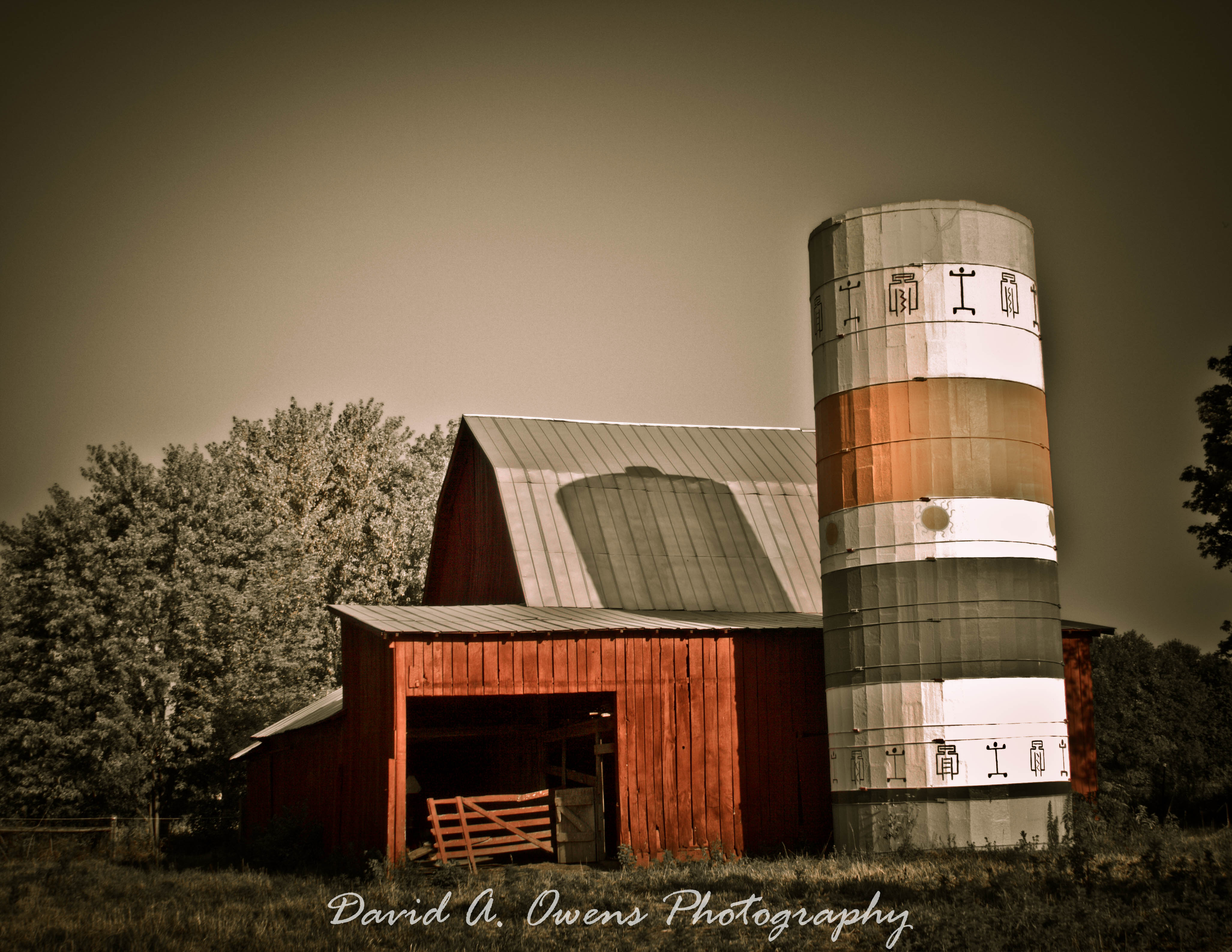
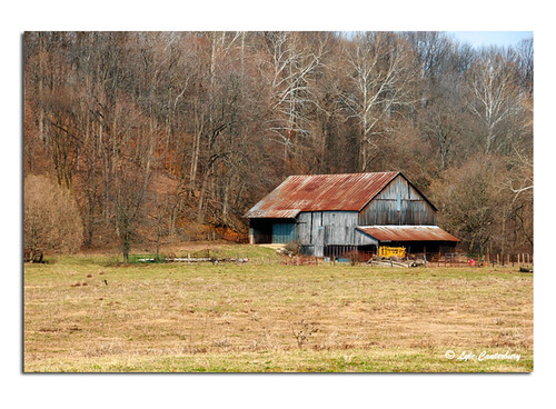
Barn & Silo near Quincy, Indiana
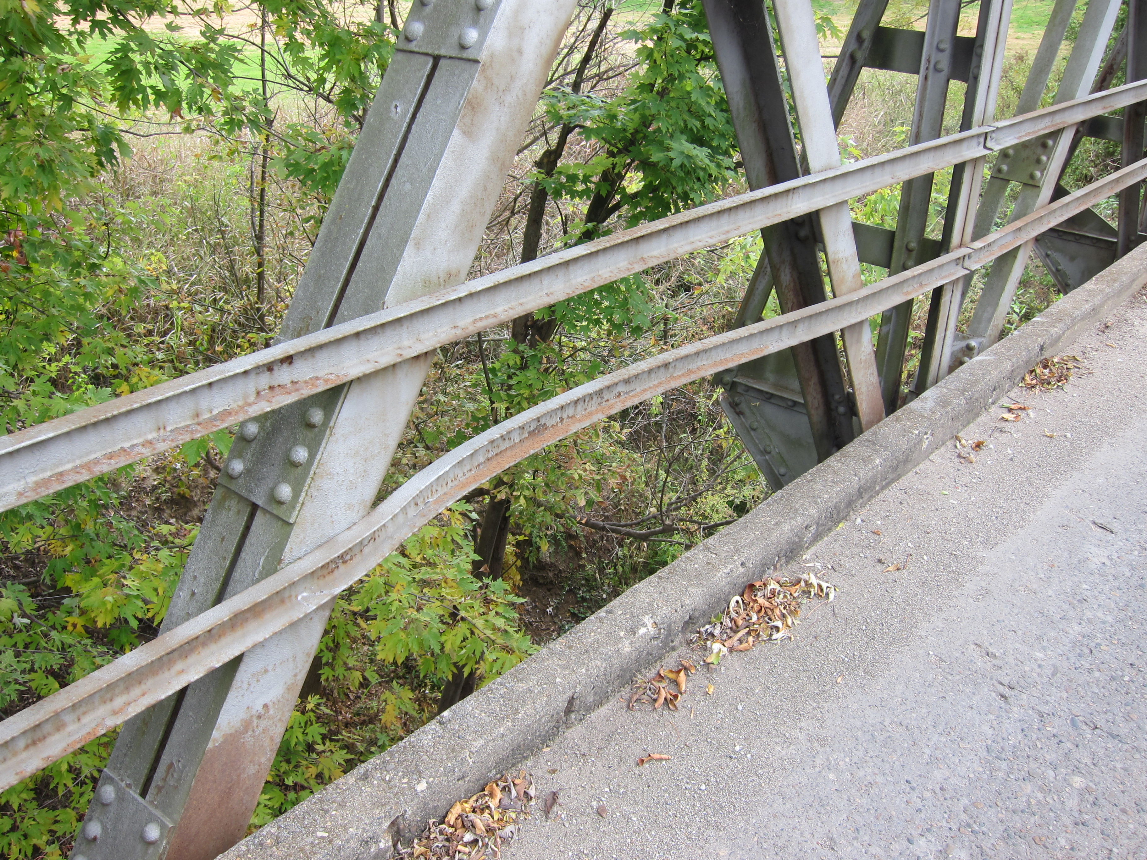
Pony trusses

A Quincy Sunset

Sunset (Eminence, IN)
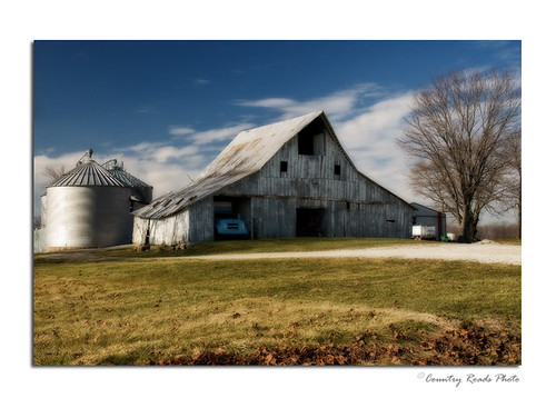
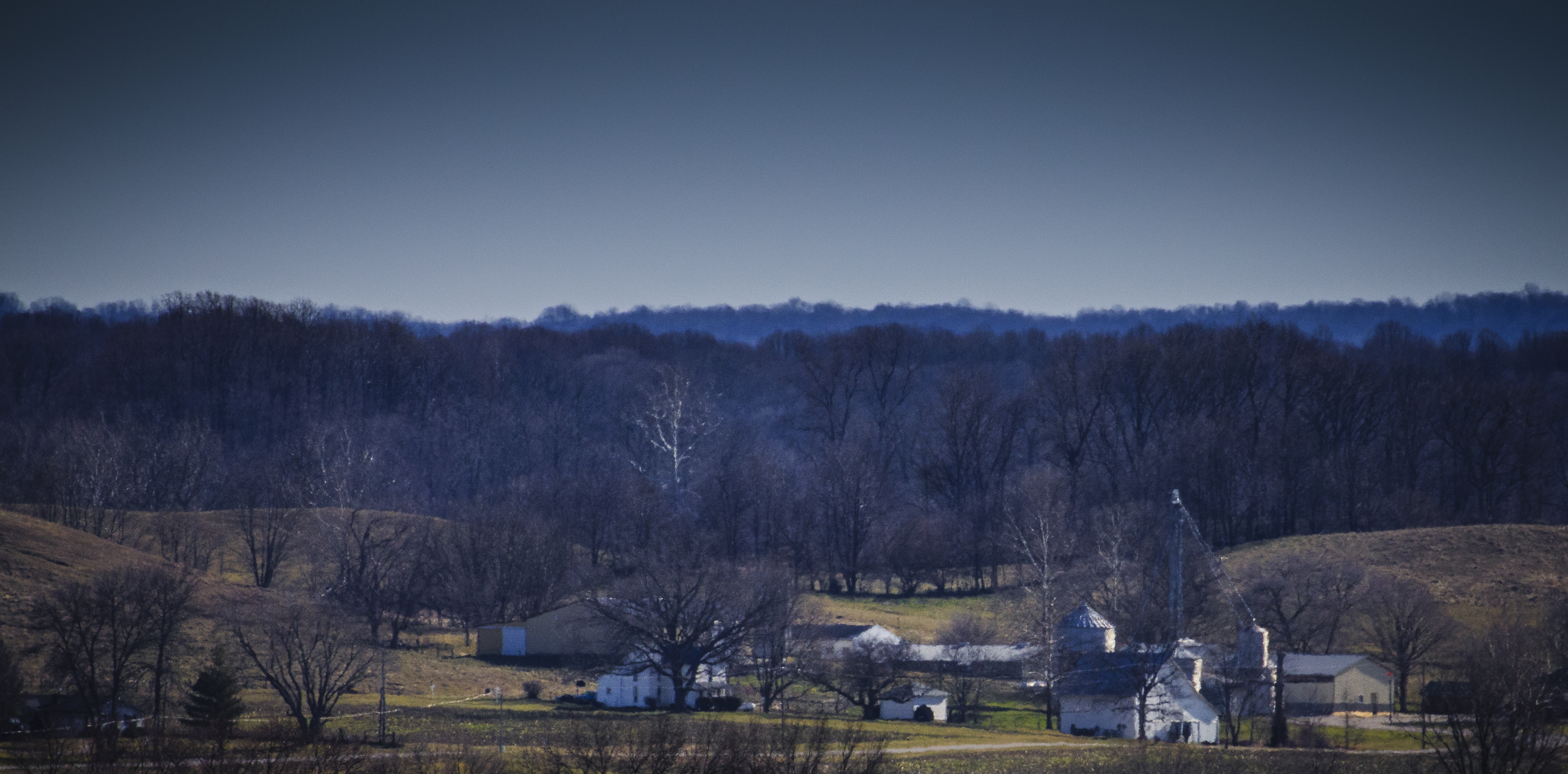
Winter Farm
On the Dixie
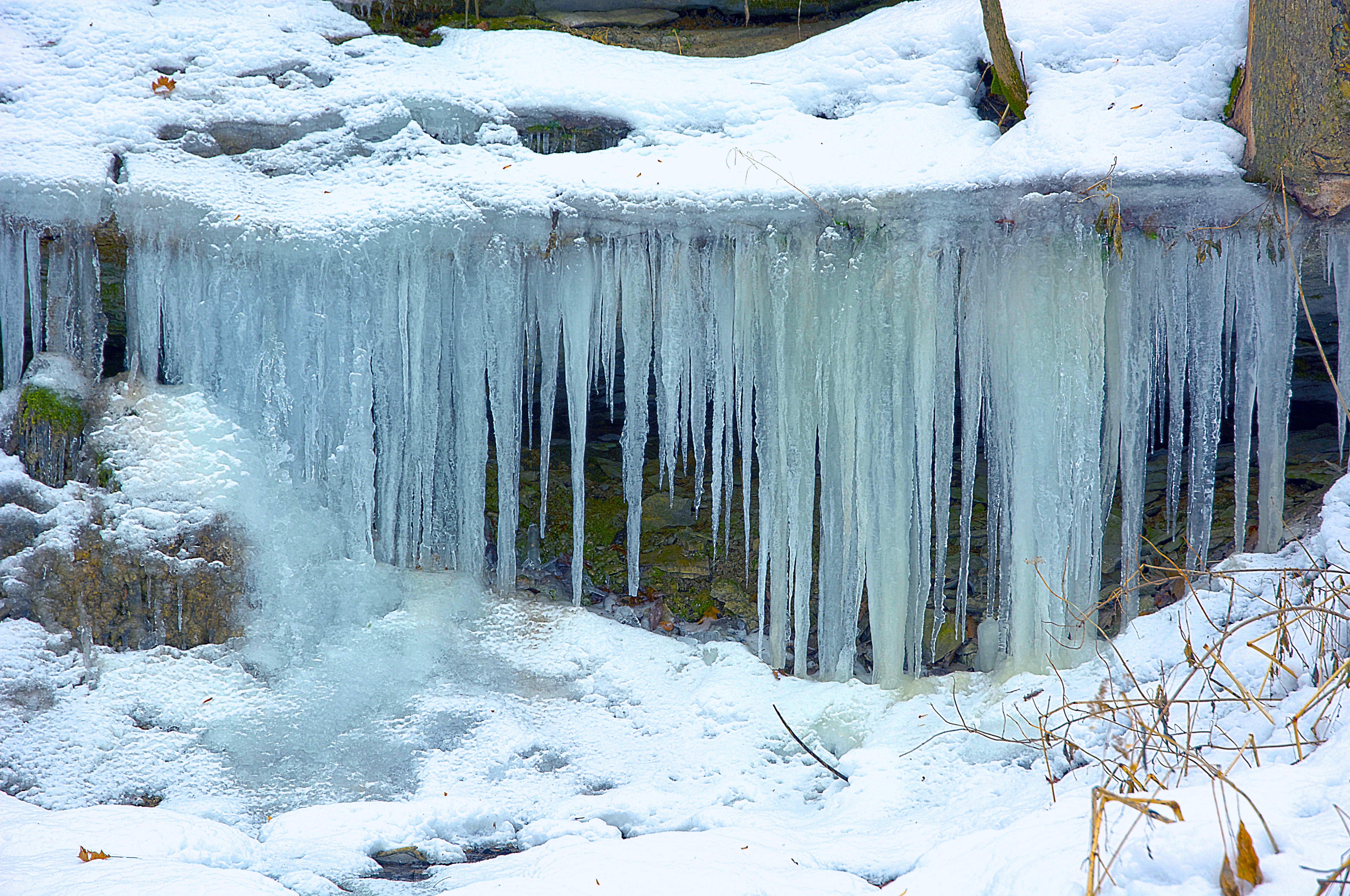
Ice Falls
Base of the Hill
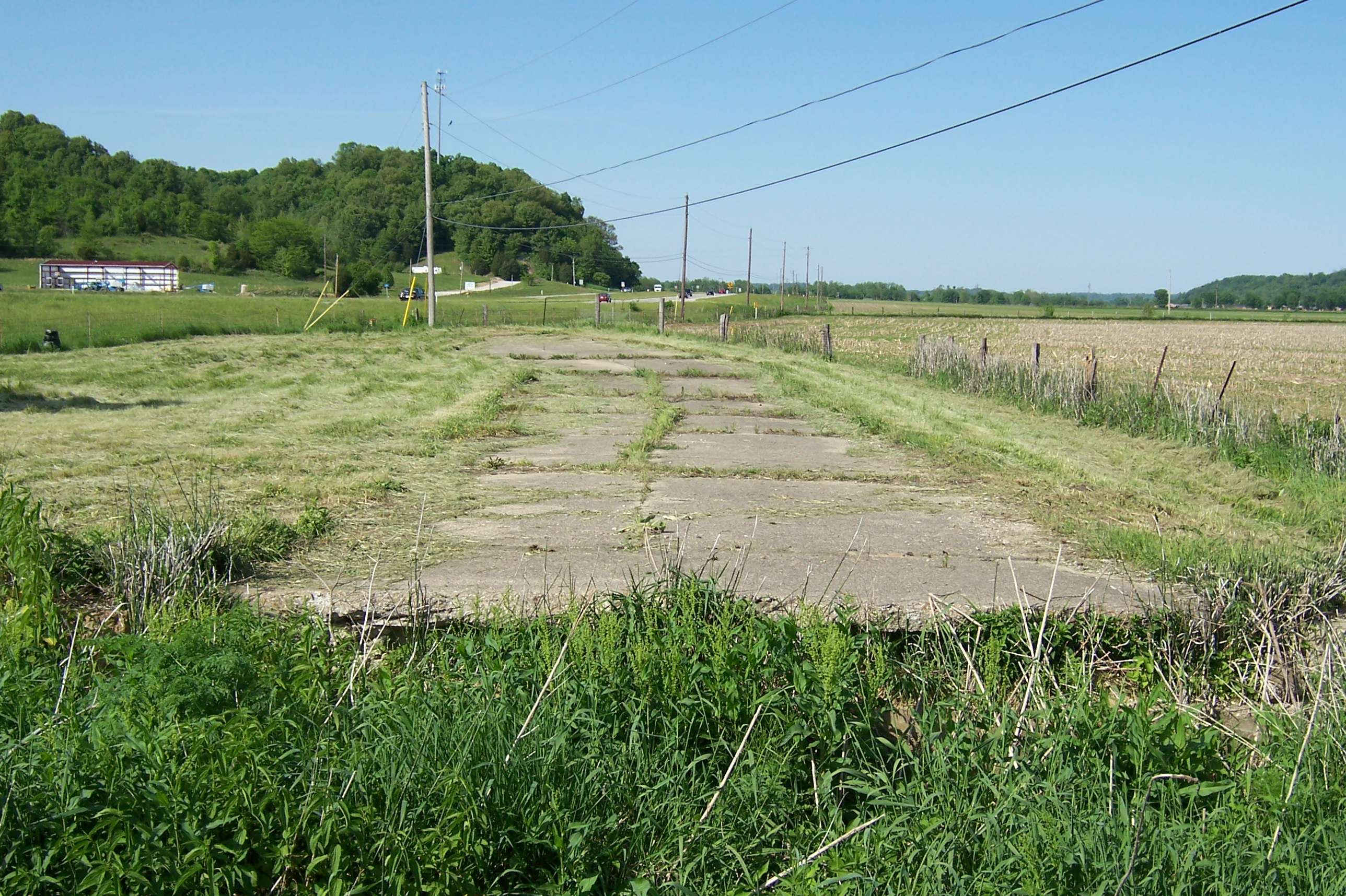
Abandoned SR 37
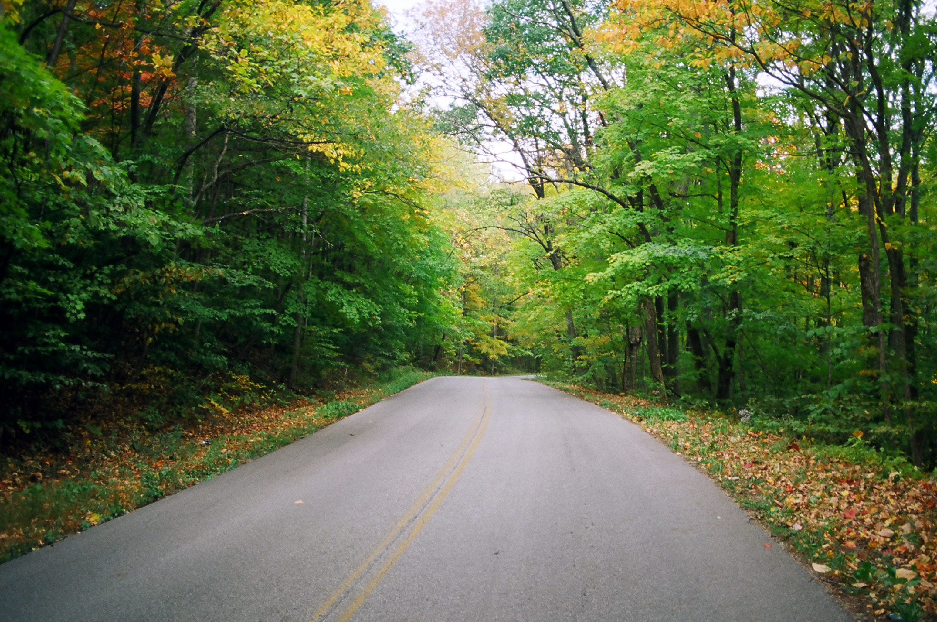
Dixie Highway north of Bloomington
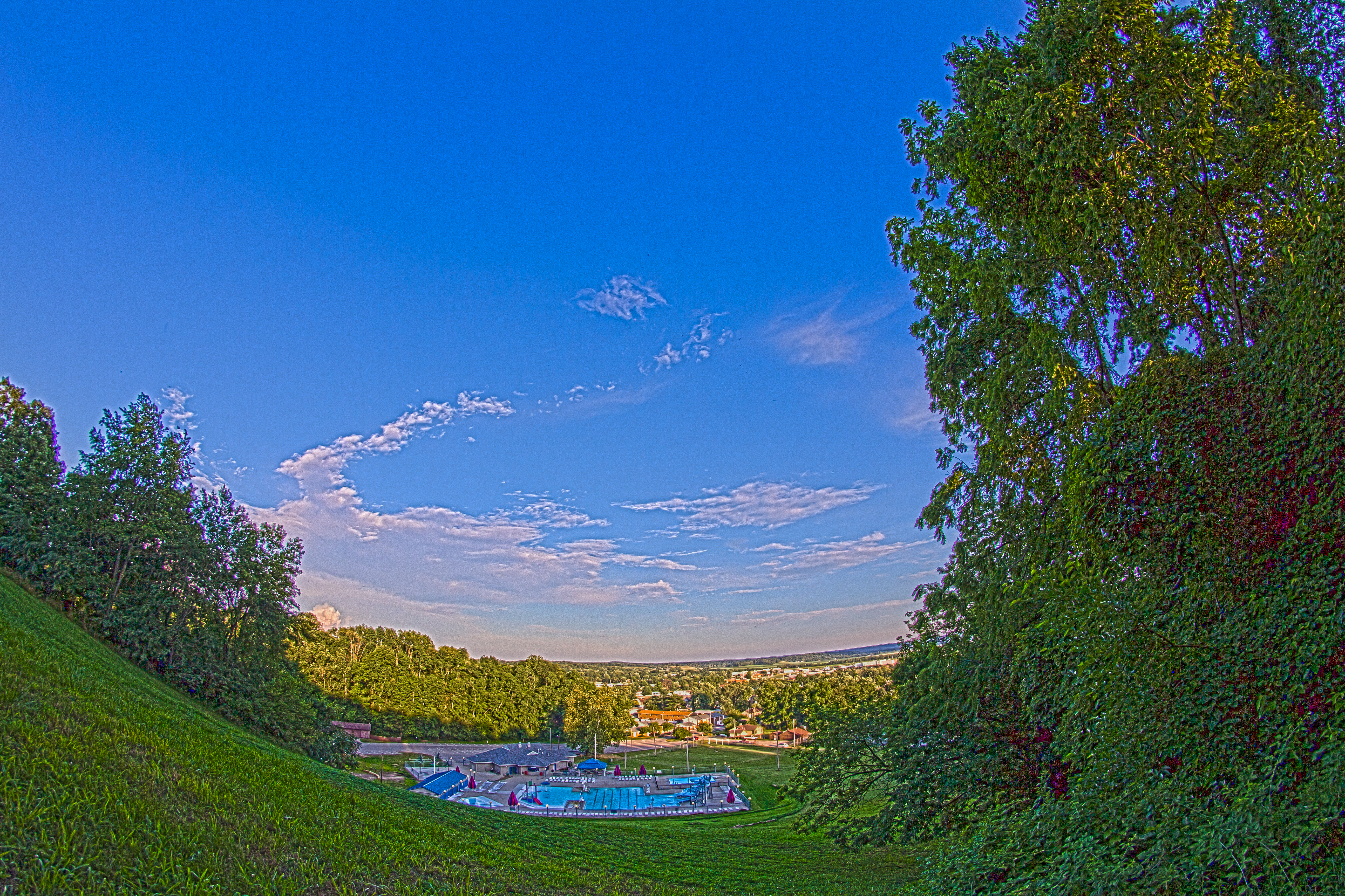
Park fisheye
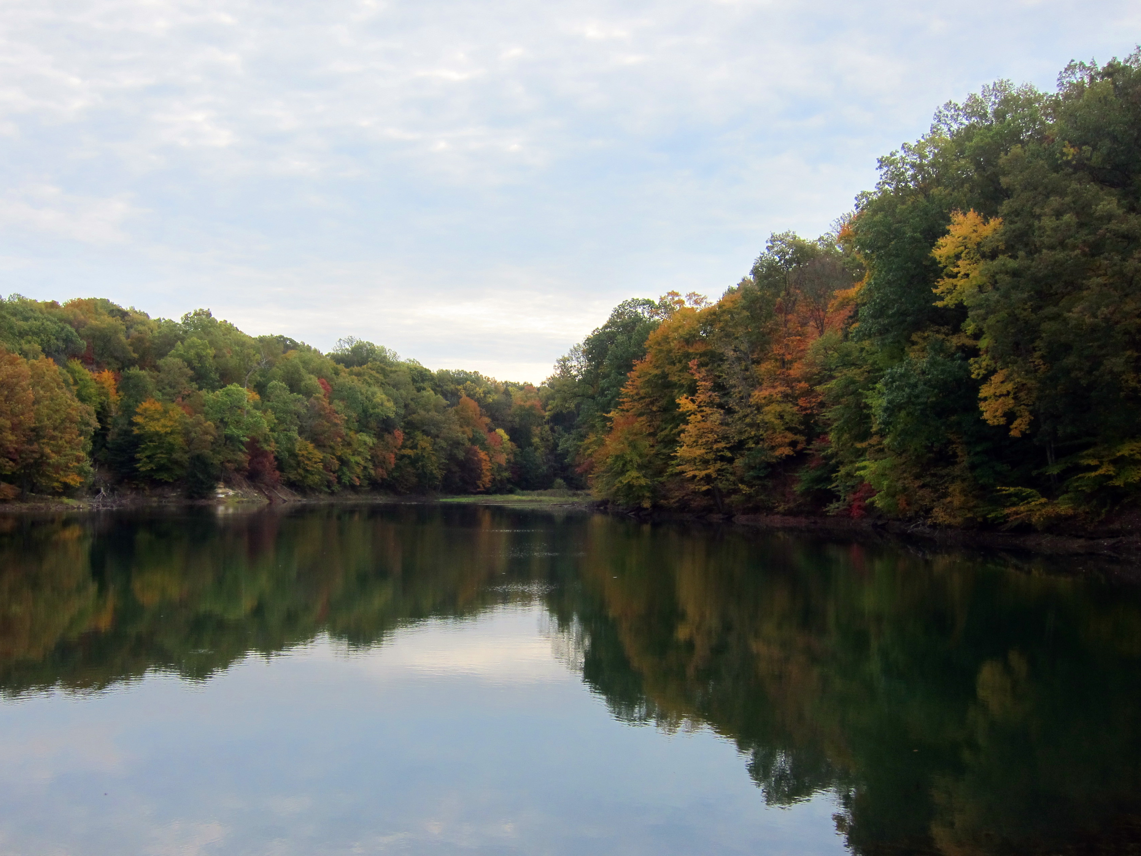
On the Dixie
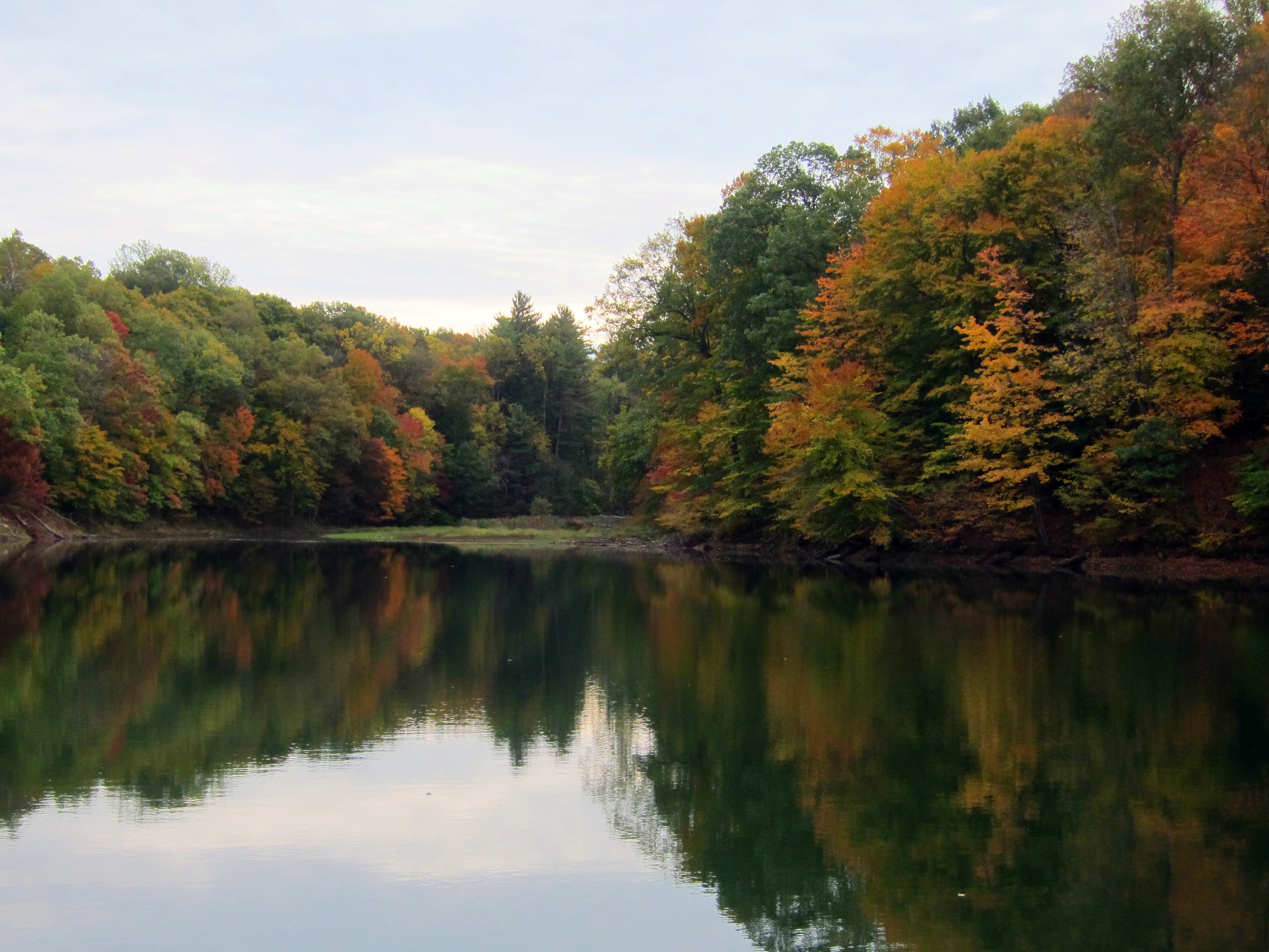
McCormics Creek State Park
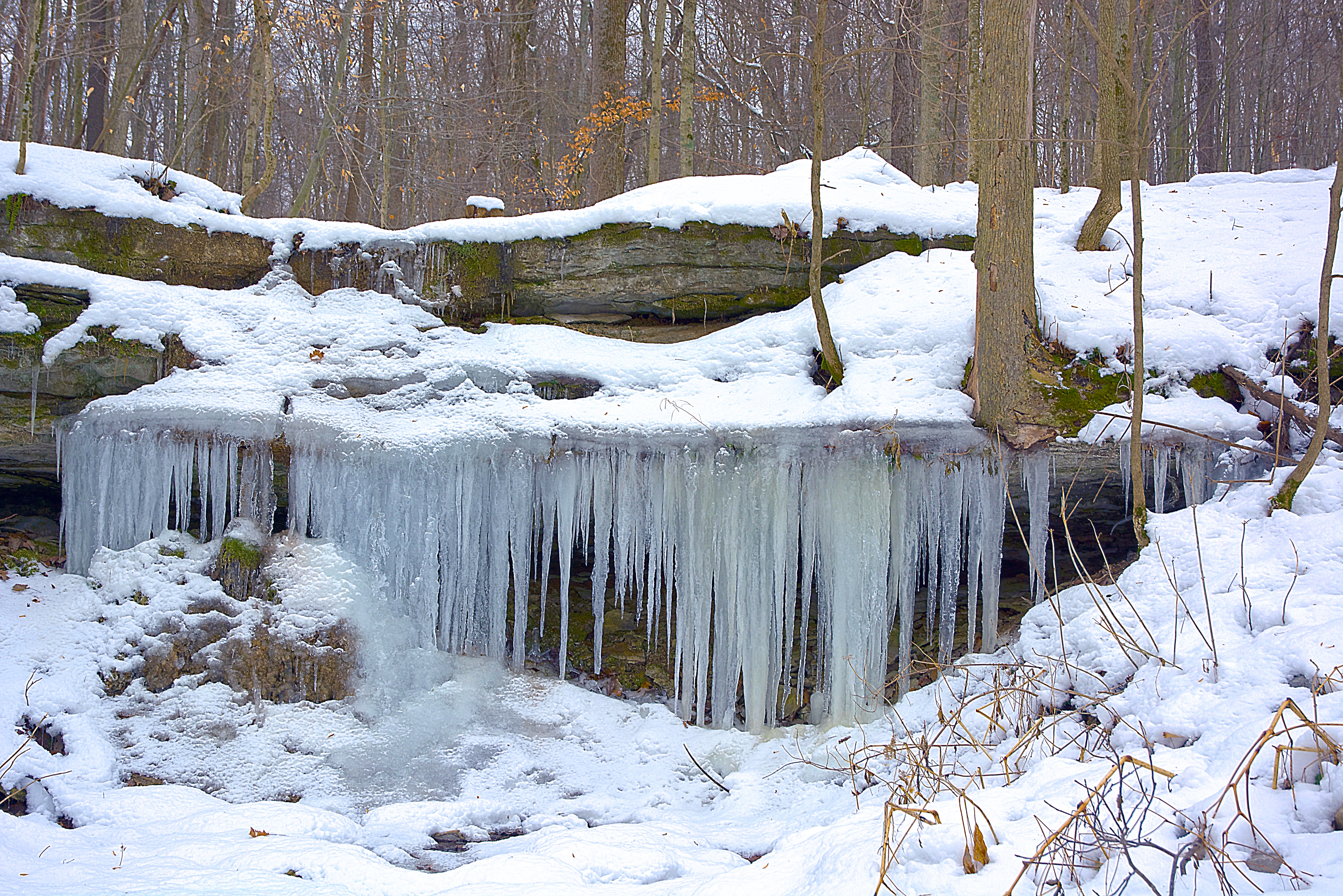
Ice Falls
from the top_
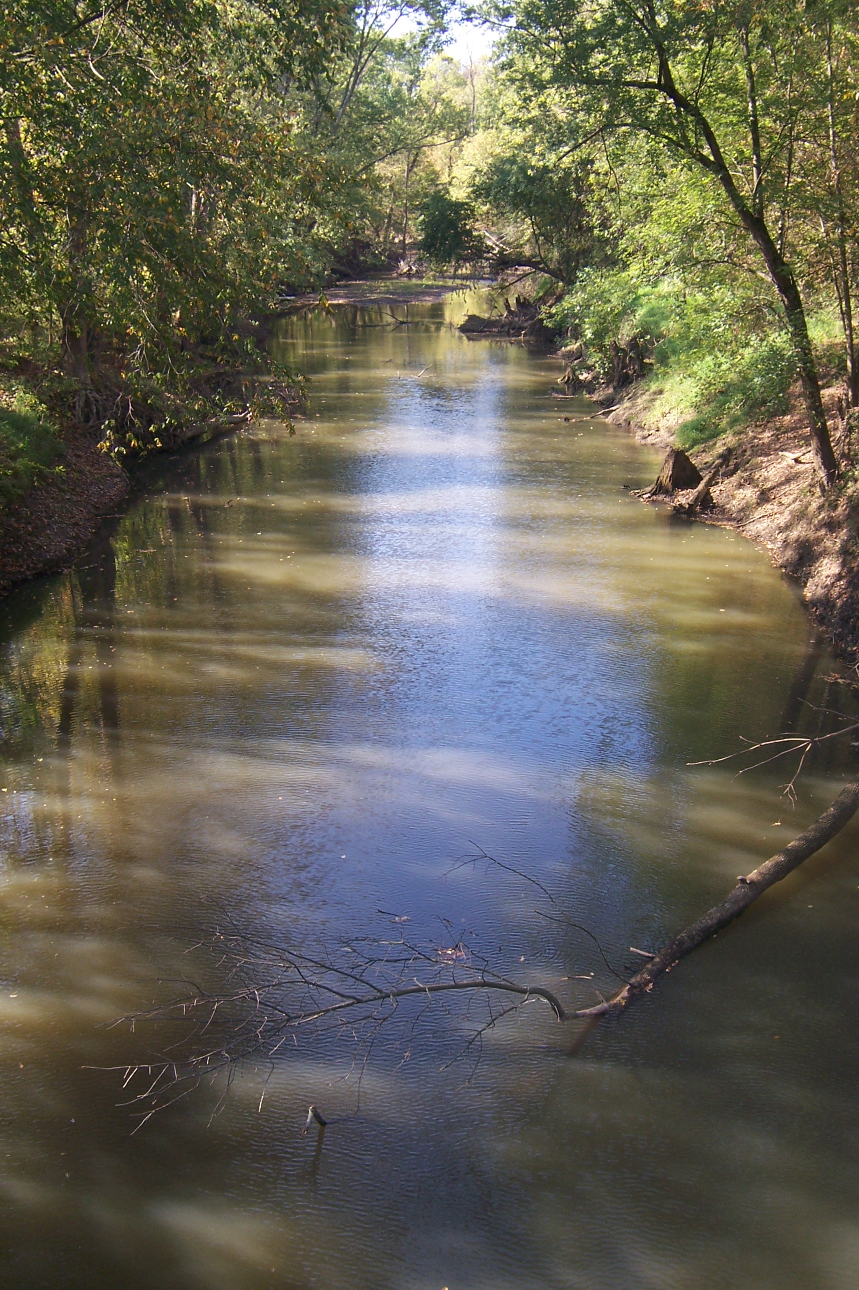
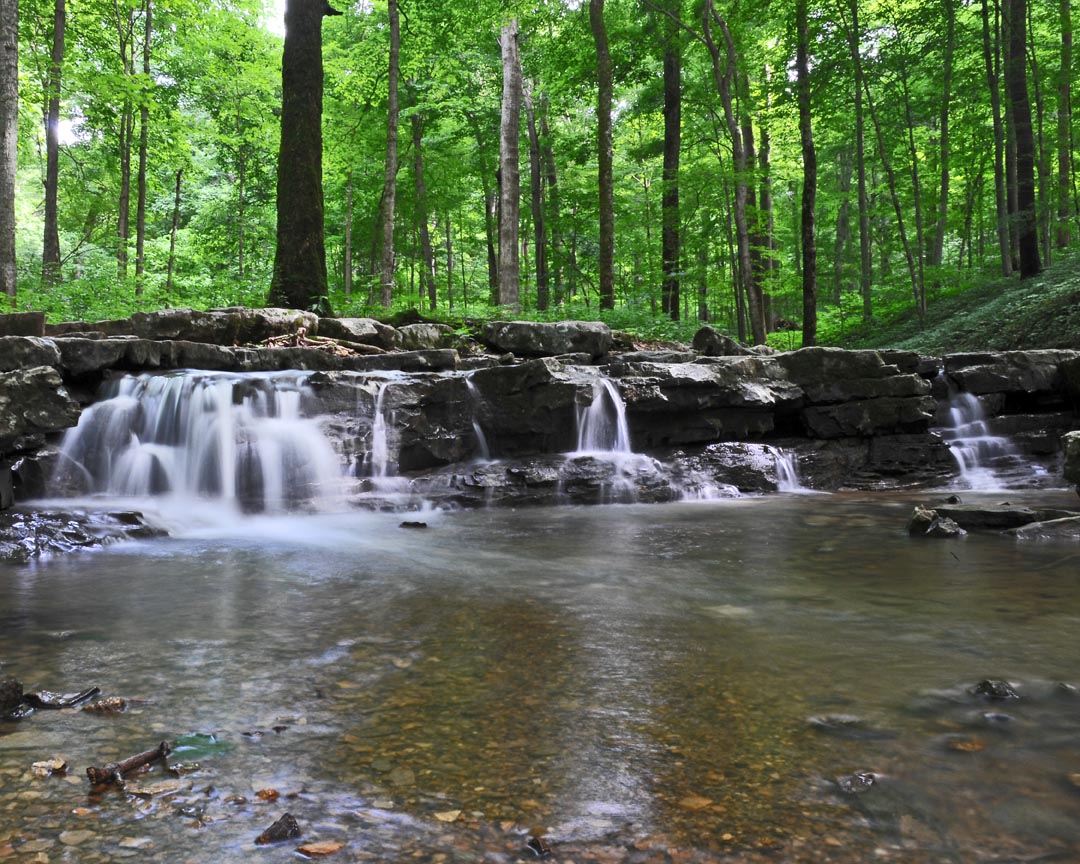
Mill Creek
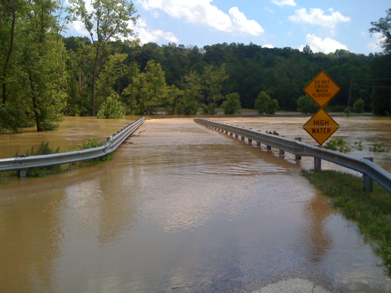
June 8, 2008 Flood Picture #1
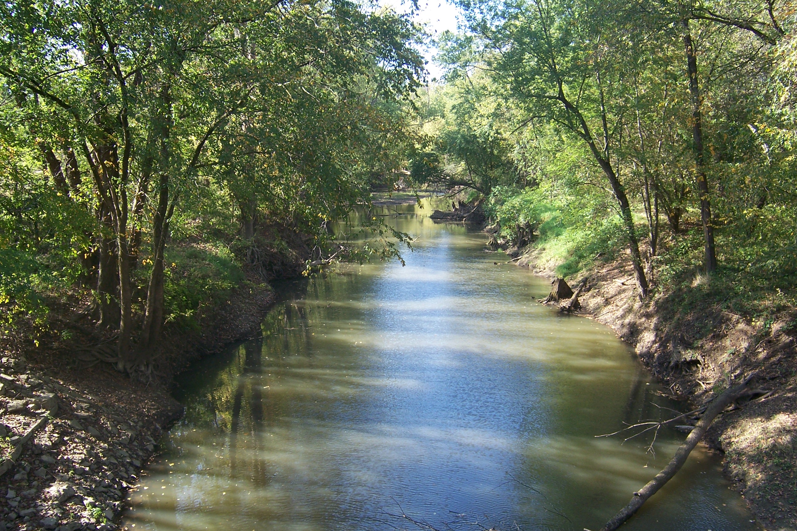
Mill Creek
Topographic Map of Ray Township, IN, USA
Find elevation by address:

Places in Ray Township, IN, USA:
Places near Ray Township, IN, USA:
Paragon
Duckworth Rd, Paragon, IN, USA
W Lewisville Rd, Cloverdale, IN, USA
Ashland Township
S Jennifer Ln, Martinsville, IN, USA
Market St, Quincy, IN, USA
Quincy
Adams Township
Jefferson Township
Gregg Township
Wallace Junction Rd, Quincy, IN, USA
W Hurt Rd, Monrovia, IN, USA
Taylor Township
N Little Point Rd, Stilesville, IN, USA
Tower Rd, Gosport, IN, USA
US-, Spencer, IN, USA
N Briarwood Lake S Ct, Monrovia, IN, USA
Dale St, Martinsville, IN, USA
660 In-39
Martinsville
Recent Searches:
- Elevation of Calais Dr, Del Mar, CA, USA
- Elevation of Placer Mine Ln, West Jordan, UT, USA
- Elevation of E 63rd St, New York, NY, USA
- Elevation of Elk City, OK, USA
- Elevation of Erika Dr, Windsor, CA, USA
- Elevation of Village Ln, Finleyville, PA, USA
- Elevation of 24 Oakland Rd #, Scotland, ON N0E 1R0, Canada
- Elevation of Deep Gap Farm Rd E, Mill Spring, NC, USA
- Elevation of Dog Leg Dr, Minden, NV, USA
- Elevation of Dog Leg Dr, Minden, NV, USA