Elevation of Raven Rock Rd, Ararat, VA, USA
Location: United States > Virginia > Ararat >
Longitude: -80.507275
Latitude: 36.6262058
Elevation: 465m / 1526feet
Barometric Pressure: 96KPa
Elevation Map:
Satellite Map:
Related Photos:

Starry swirl on the Blue Ridge Parkway.

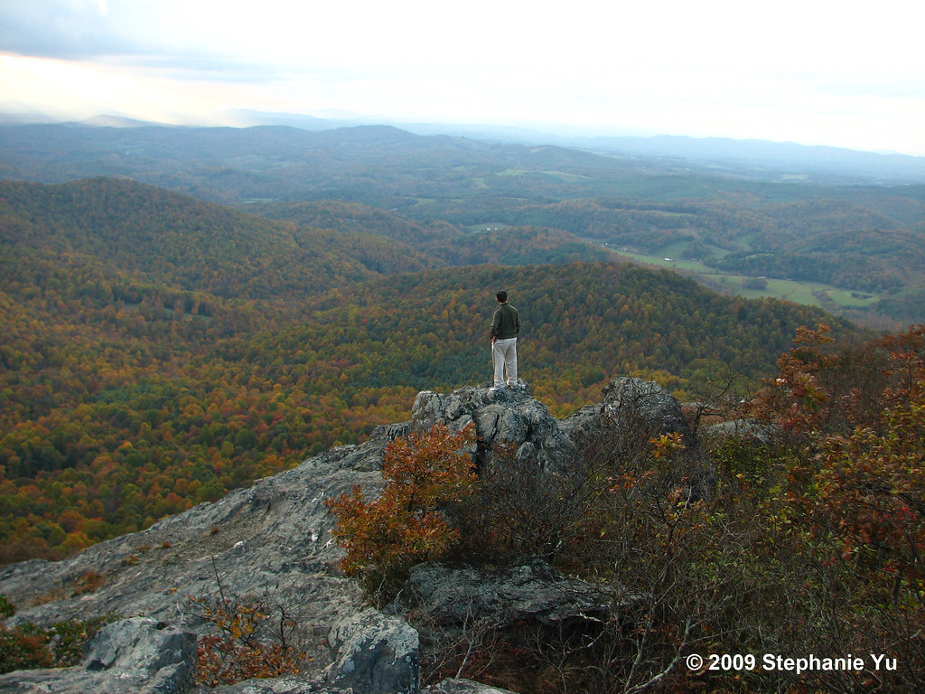
Room with a View
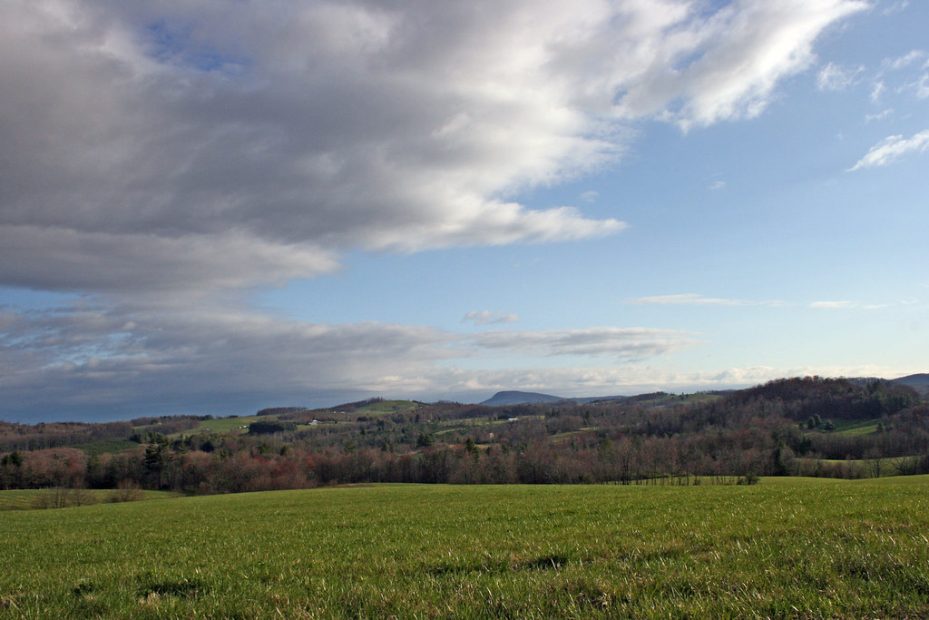
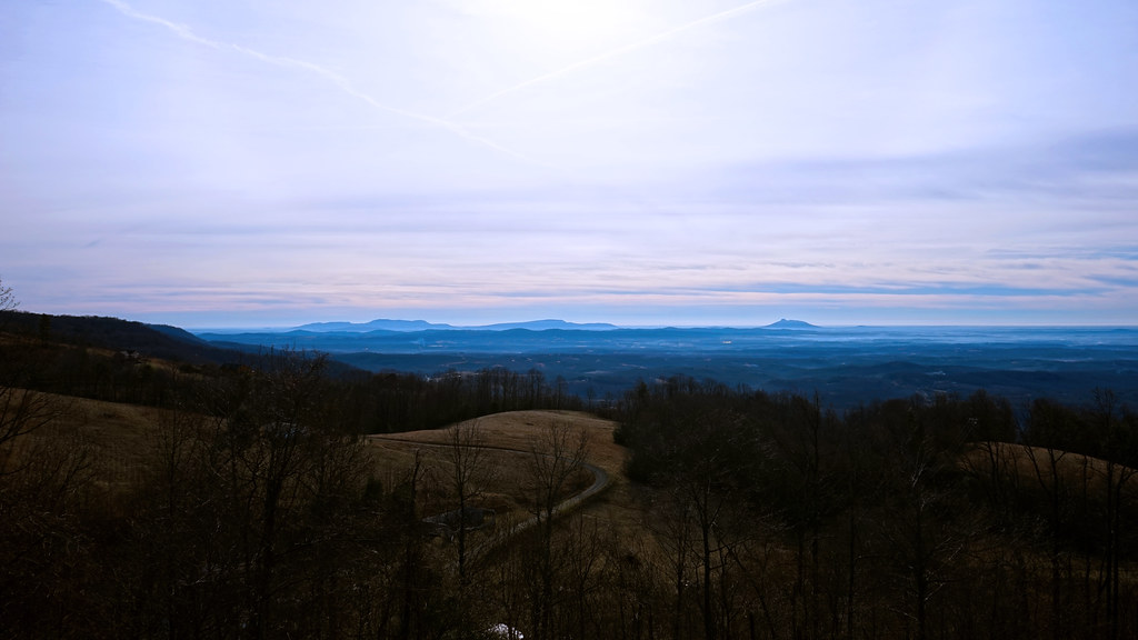
The Rolling Blue Ridge Mountians
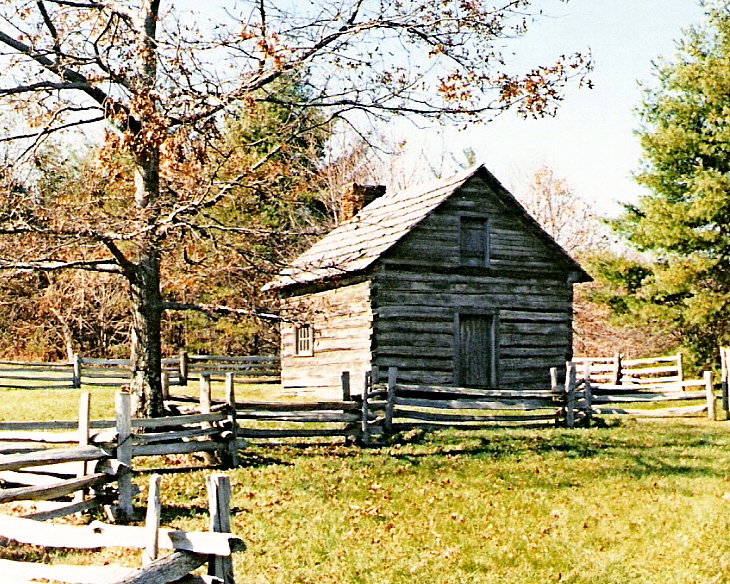
Puckett Cabin
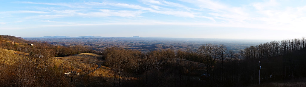
Fancy Gap, Virginia
2939 View Pilot Mountain Img_14100
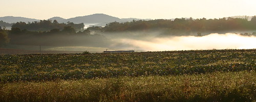
the morning fog

Bright Leaf Drive-In, Mt. Airy, NC, 2000
Fancy Gap Morning
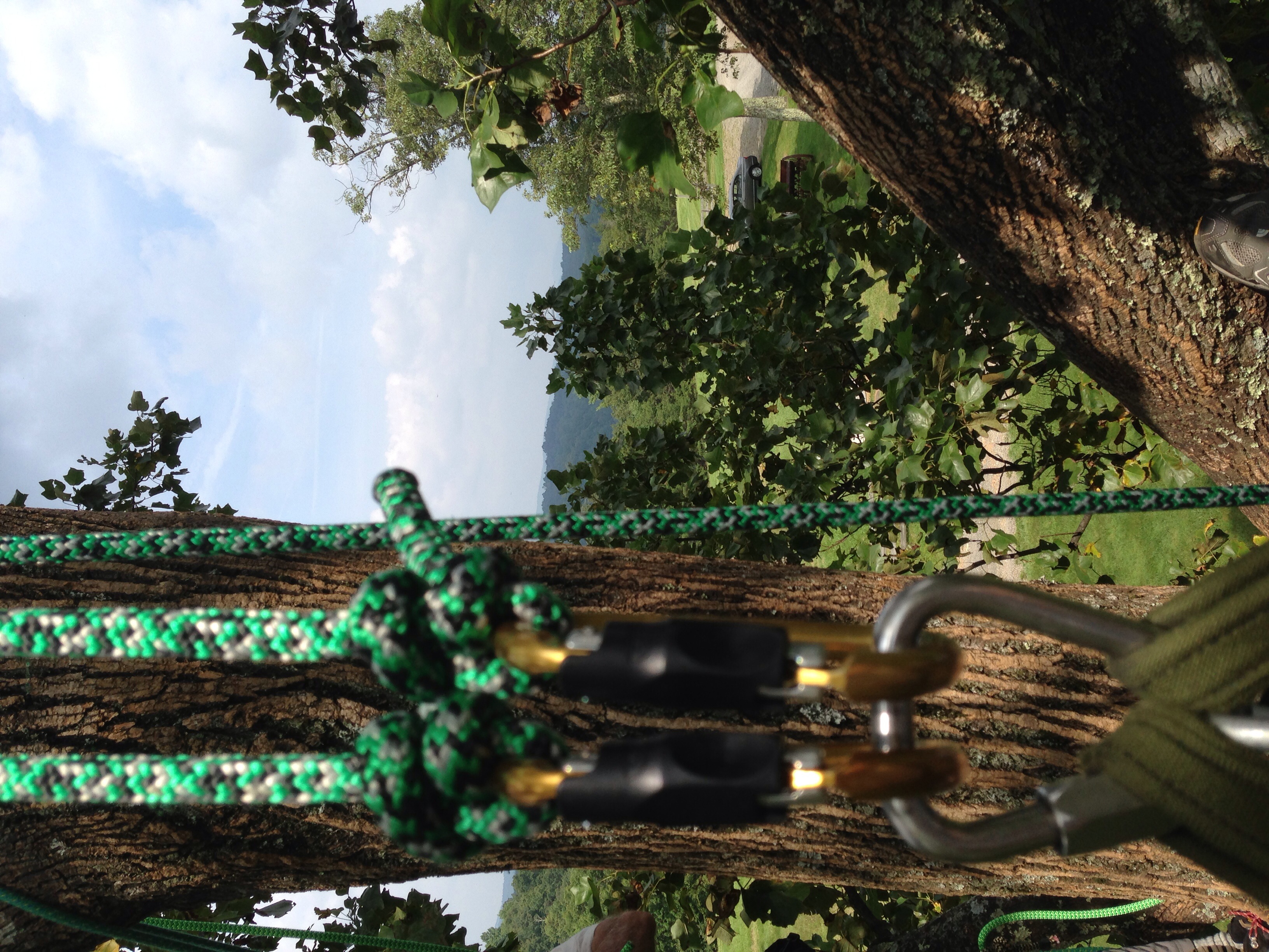
View from the top, with gear
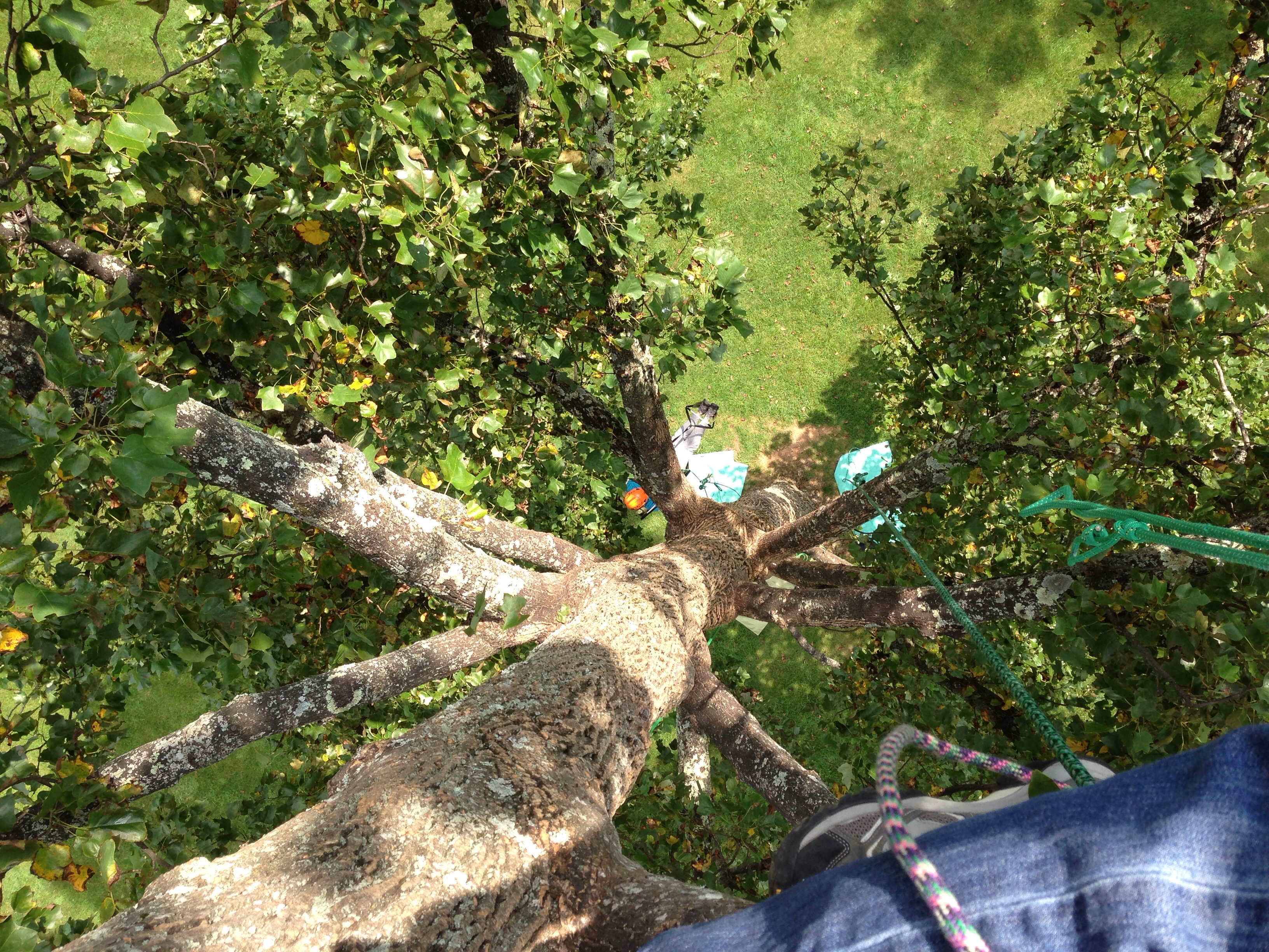
View down from the top
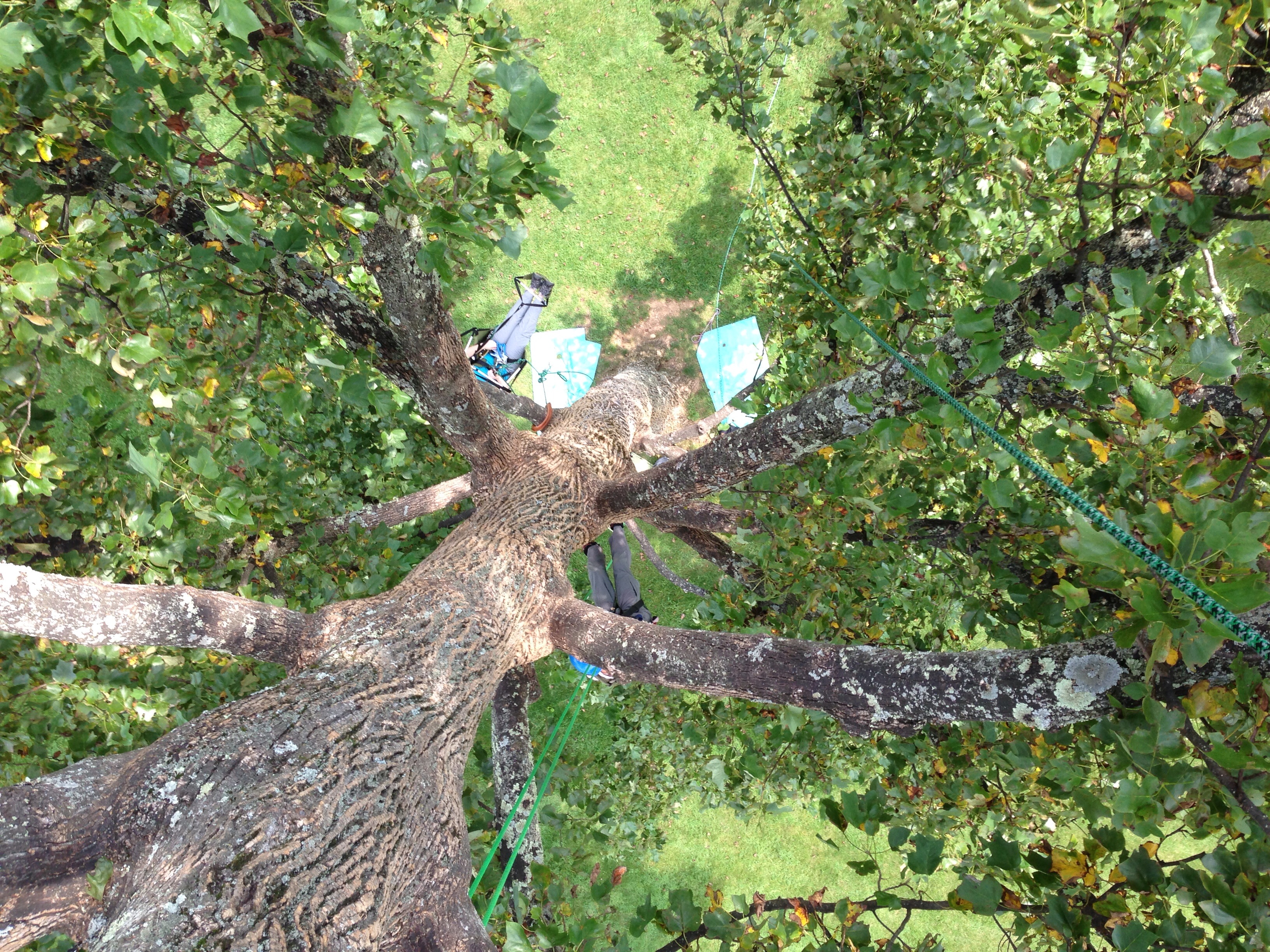
View down from the top
2937 View Pilot Mountain Img_14098
From Above

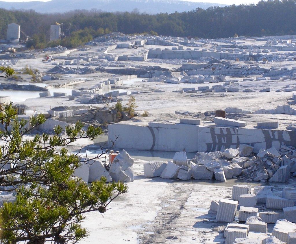
Granite Headquarters
View down from the top

View from the top
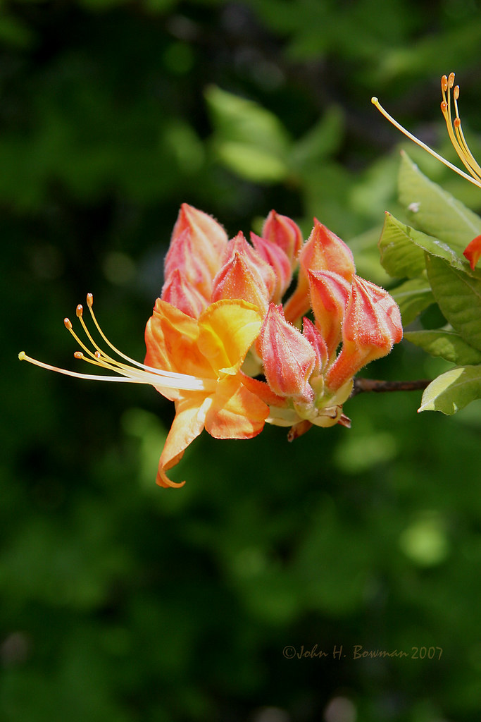
Flame azalea, opening
Fall colors
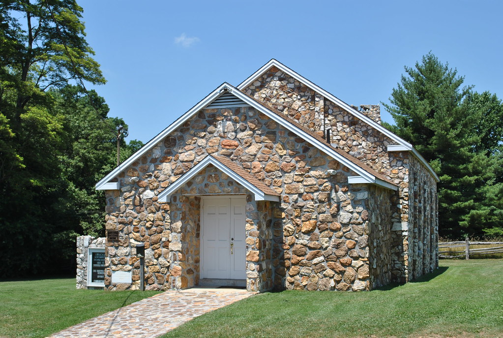
BLUEMONT PRESBYTERIAN CHURCH
View from the top
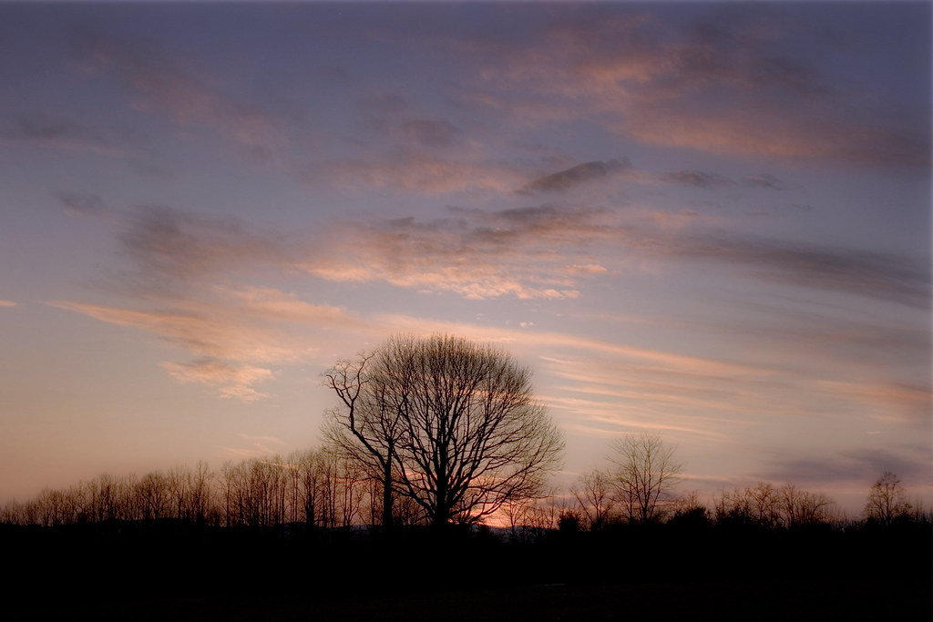
Dreamy sunset

The Bent Road.

The Bent Road.

Walk Into The Sun
Foggy Spring Day

Tree's

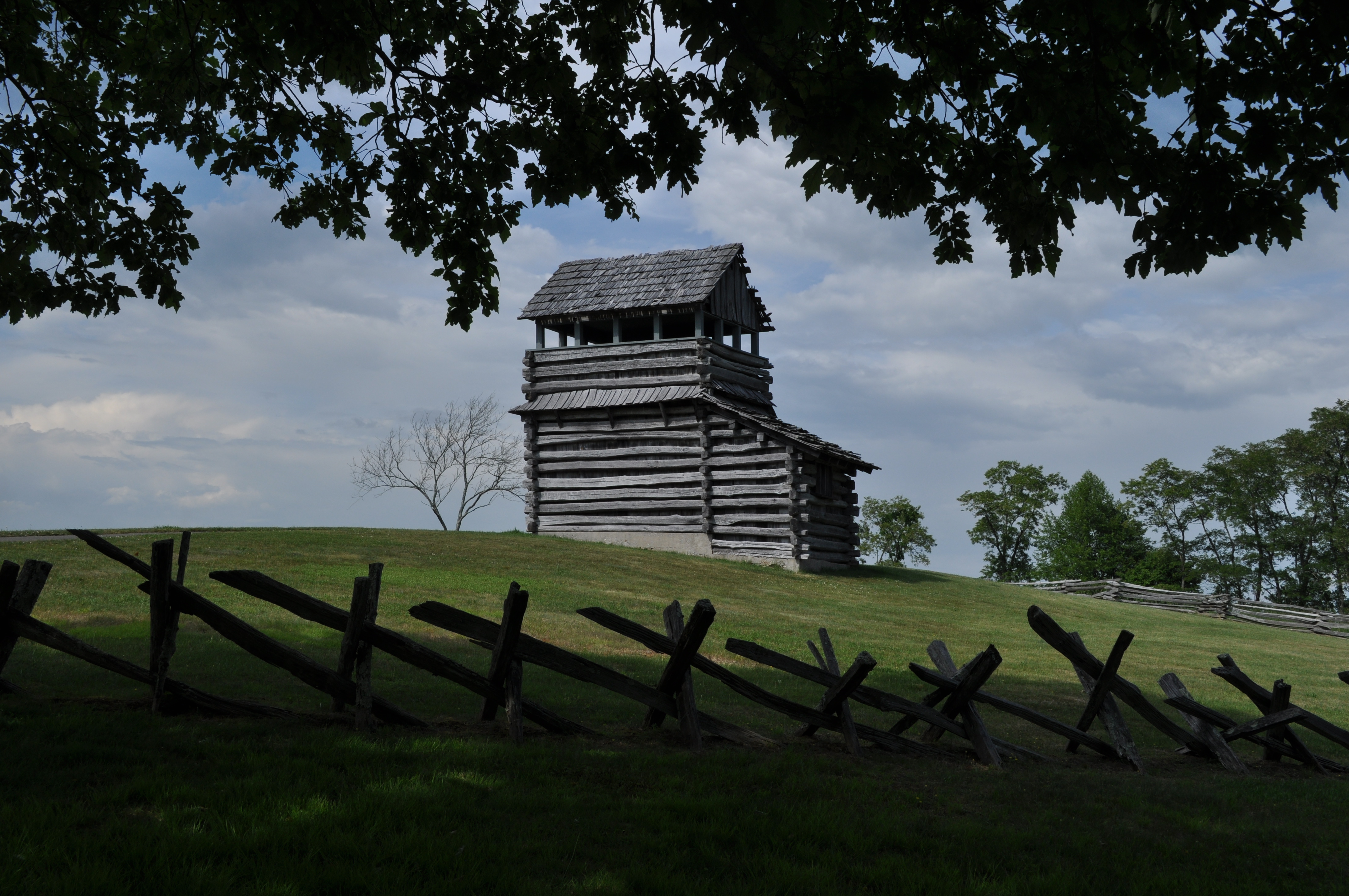
MABRY MILL TROUGH
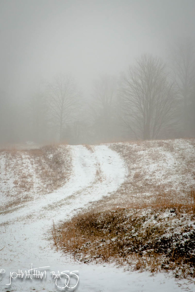
Snowy Path to the Fog
MILL TROUGH

20081010Mountains 081

Chairs tucked away.
Because there aren't enough pretty #sunset pictures on Instagram...

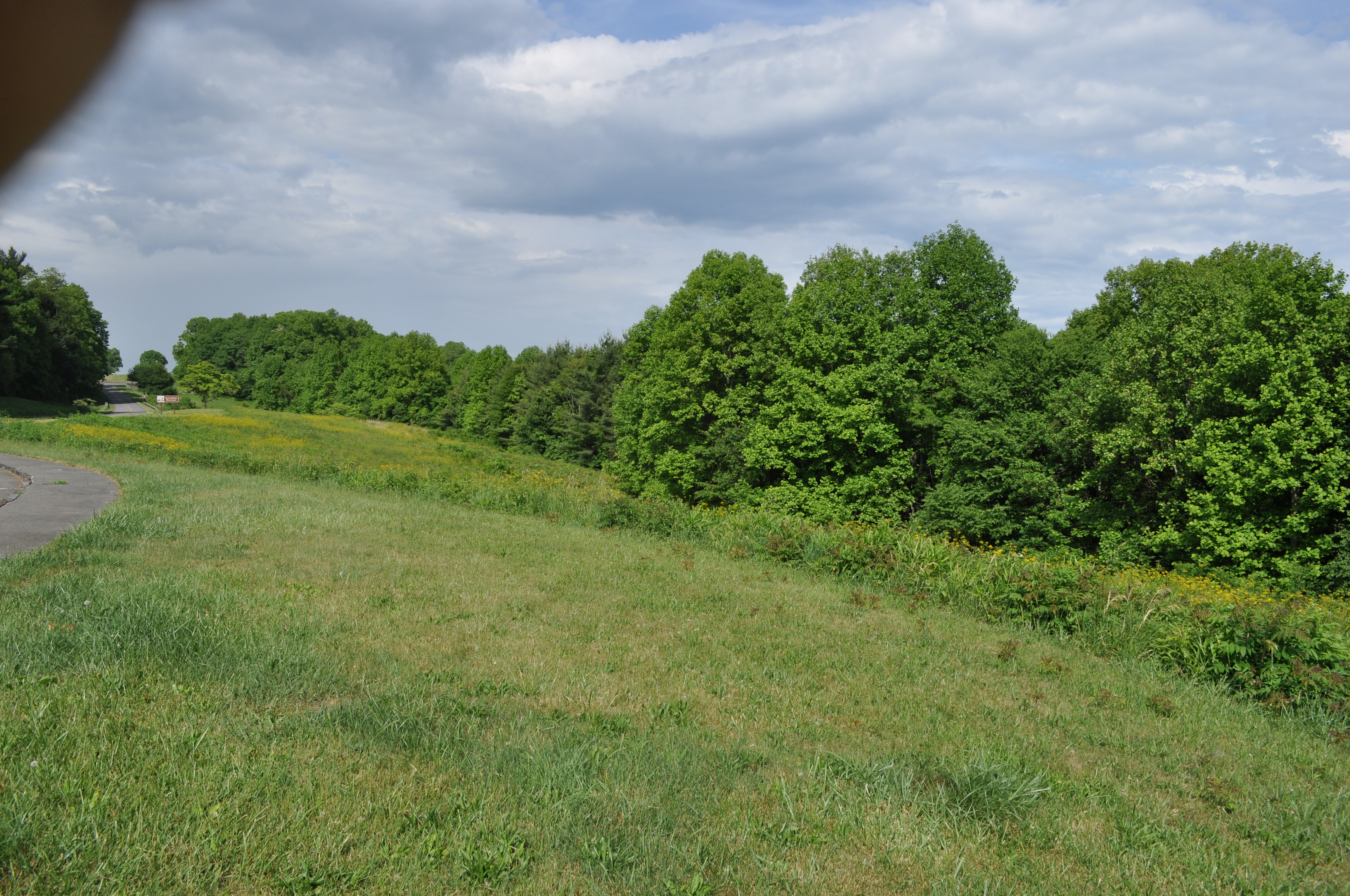
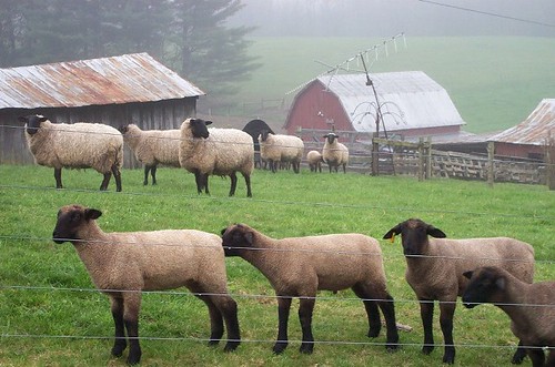
Fields of Green

Field trip on disequilibrium landscapes. Very...

Small Mountain Stream

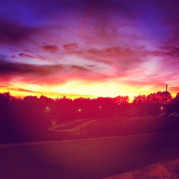
State Line Sunset
Topographic Map of Raven Rock Rd, Ararat, VA, USA
Find elevation by address:

Places near Raven Rock Rd, Ararat, VA, USA:
2753 Raven Rock Rd
8035 Ararat Hwy
Dan River
4138 Bell Spur Rd
Kibler Valley Rd, Ararat, VA, USA
9 Little Valley Rd
Serenity Lane
5083 State Rte 648
1101 Sunflower Rd
444 Pinnacle Ln
444 Pinnacle Ln
444 Pinnacle Ln
Pinnacle Lane
Simmons Road
2141 Terry's Mill Rd
Primland
2000 Busted Rock Rd
3976 Claudville Hwy
3976 Claudville Hwy
3976 Claudville Hwy
Recent Searches:
- Elevation of Estates Loop, Priest River, ID, USA
- Elevation of Woodland Oak Pl, Thousand Oaks, CA, USA
- Elevation of Brownsdale Rd, Renfrew, PA, USA
- Elevation of Corcoran Ln, Suffolk, VA, USA
- Elevation of Mamala II, Sariaya, Quezon, Philippines
- Elevation of Sarangdanda, Nepal
- Elevation of 7 Waterfall Way, Tomball, TX, USA
- Elevation of SW 57th Ave, Portland, OR, USA
- Elevation of Crocker Dr, Vacaville, CA, USA
- Elevation of Pu Ngaol Community Meeting Hall, HWHM+3X7, Krong Saen Monourom, Cambodia