Elevation of Rattlesnake Mountain, Nevada, USA
Location: United States > Nevada > Elko County >
Longitude: -115.60644
Latitude: 40.2524297
Elevation: 2513m / 8245feet
Barometric Pressure: 75KPa
Elevation Map:
Satellite Map:
Related Photos:

Ruby Lake, Nevada
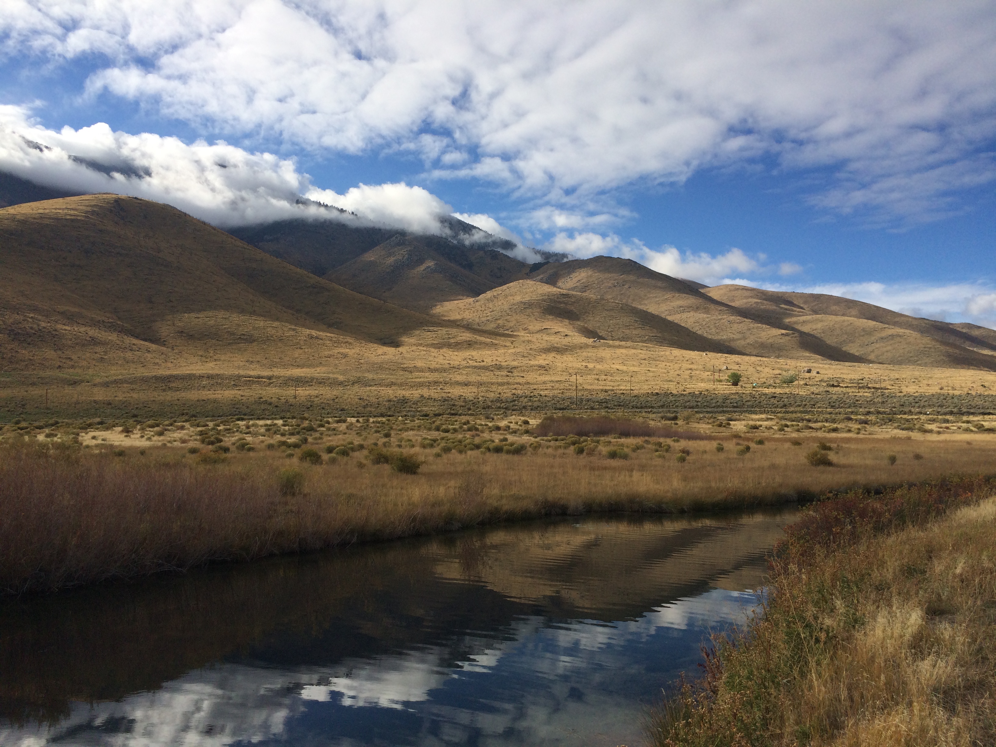
Ruby Mountains Shrouded in Clouds
Topographic Map of Rattlesnake Mountain, Nevada, USA
Find elevation by address:

Places near Rattlesnake Mountain, Nevada, USA:
Cass House Peak
Sherman Mountain
Green Mountain
Jiggs
Ruby Valley
Tipton Peak
King Peak
Big Bald Mountain
Lee
Little Bald Mountain
Bailey Mountain
Robinson Mountain
Wines Peak
Lake Peak
Lee Peak
Ruby Dome
Coffin Mountain
Union Mountain
East Campground Road
Alligator Ridge
Recent Searches:
- Elevation of Corso Fratelli Cairoli, 35, Macerata MC, Italy
- Elevation of Tallevast Rd, Sarasota, FL, USA
- Elevation of 4th St E, Sonoma, CA, USA
- Elevation of Black Hollow Rd, Pennsdale, PA, USA
- Elevation of Oakland Ave, Williamsport, PA, USA
- Elevation of Pedrógão Grande, Portugal
- Elevation of Klee Dr, Martinsburg, WV, USA
- Elevation of Via Roma, Pieranica CR, Italy
- Elevation of Tavkvetili Mountain, Georgia
- Elevation of Hartfords Bluff Cir, Mt Pleasant, SC, USA