Elevation of Coffin Mountain, Nevada, USA
Location: United States > Nevada > Elko County >
Longitude: -116.00534
Latitude: 40.272424
Elevation: 2415m / 7923feet
Barometric Pressure: 75KPa
Elevation Map:
Satellite Map:
Related Photos:

Rampart
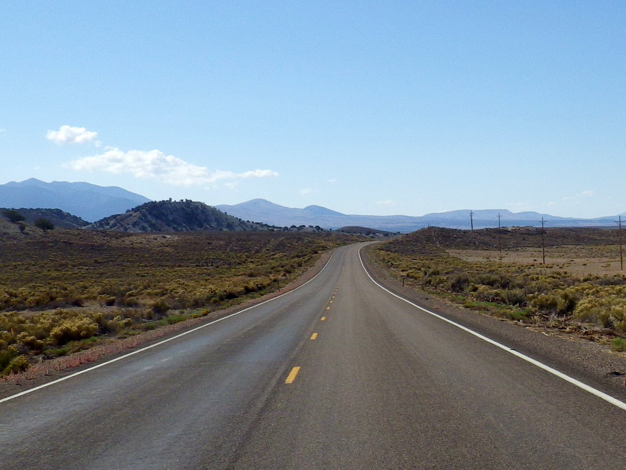
Photo399
Old Country

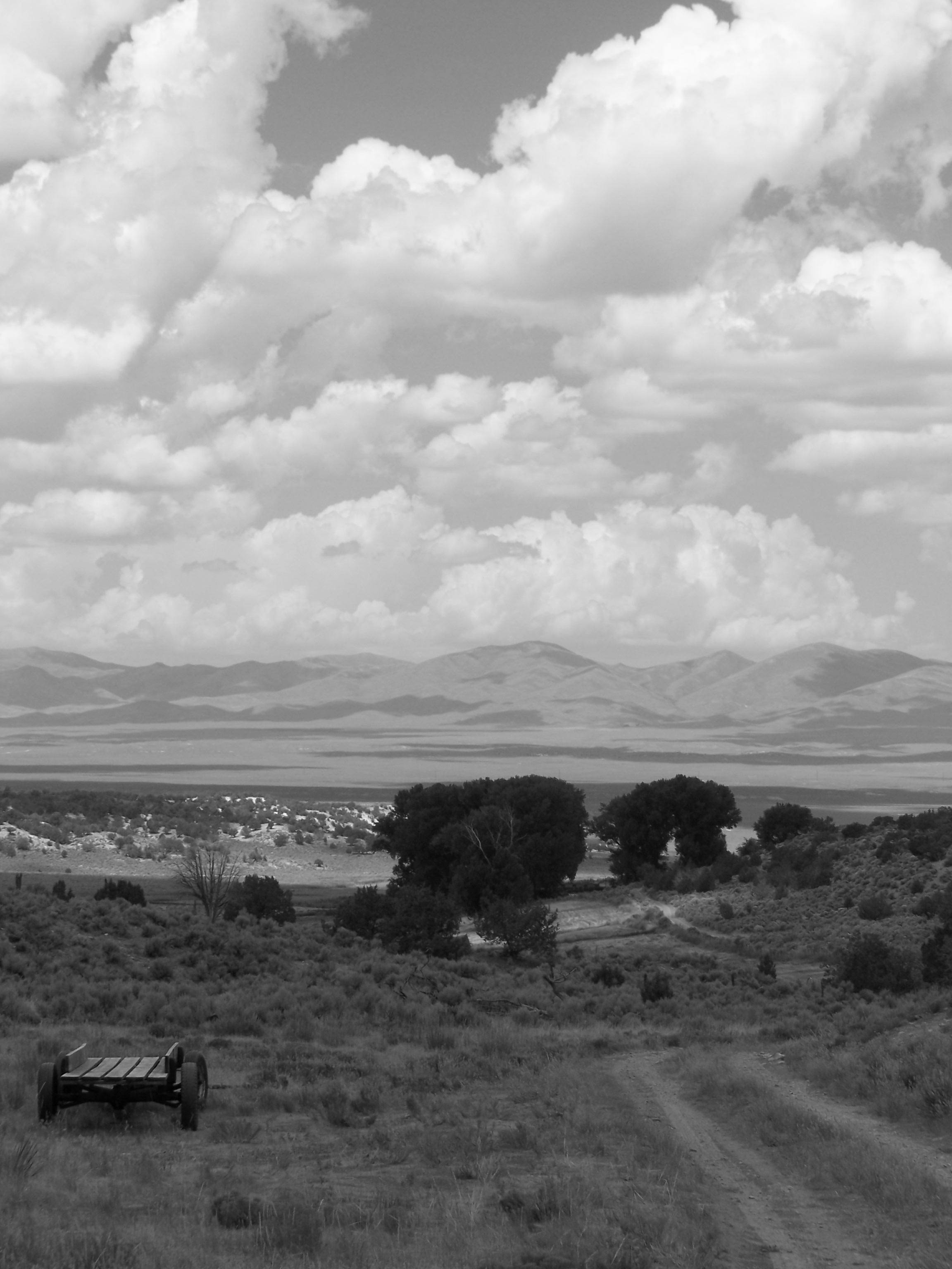
Moonrise over Pine Valley
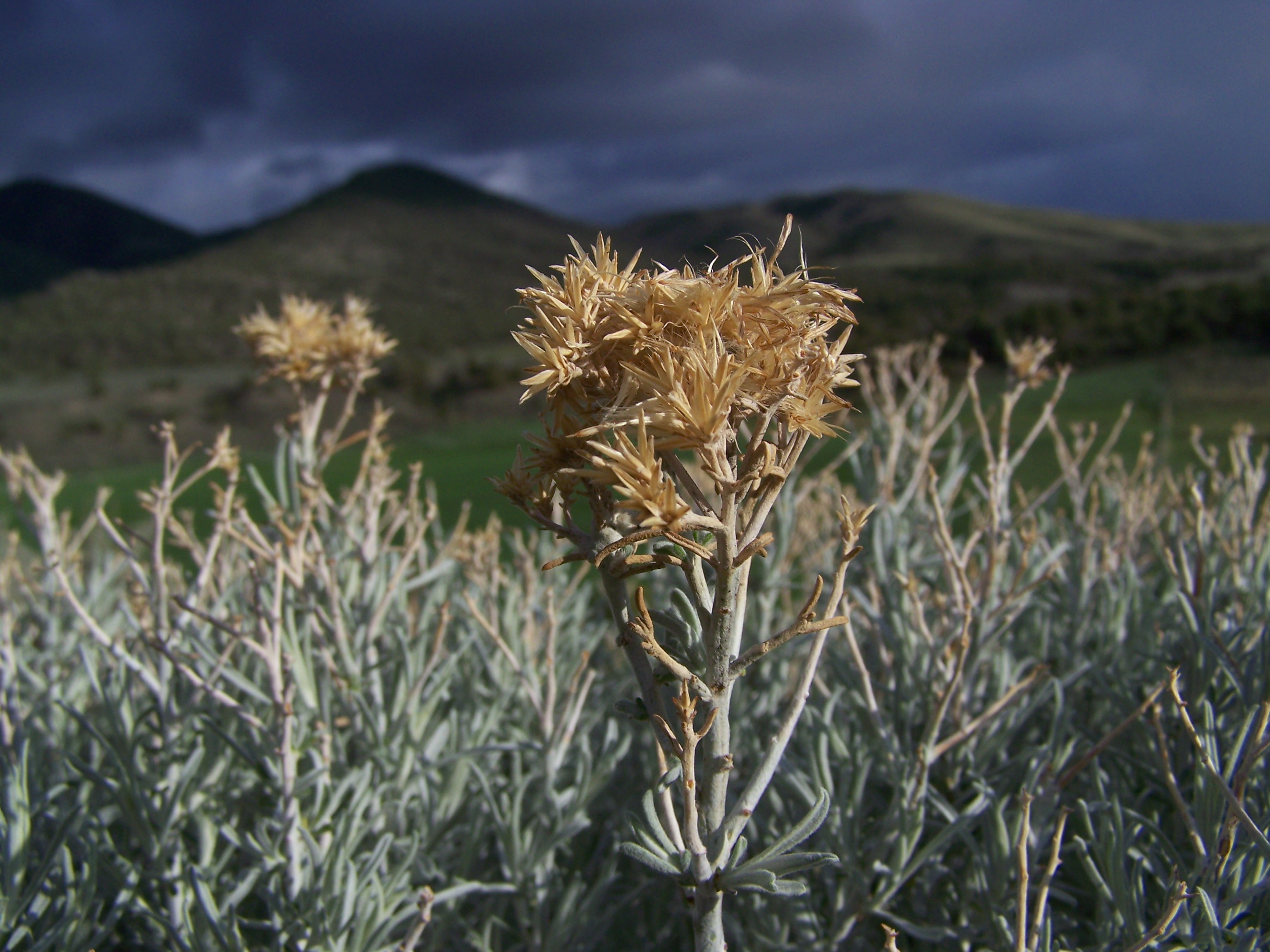
Backlighting.
Topographic Map of Coffin Mountain, Nevada, USA
Find elevation by address:

Places near Coffin Mountain, Nevada, USA:
Bailey Mountain
Union Mountain
Robinson Mountain
Bunker Hill
Jiggs
Rattlesnake Mountain
Sherman Mountain
Camp St, Carlin, NV, USA
Carlin
Cass House Peak
East Campground Road
Lee
Roberts Creek Mountain
Mount Hope
Green Mountain
464 Pioneer Way
464 Pioneer Way
464 Pioneer Way
464 Pioneer Way
464 Pioneer Way
Recent Searches:
- Elevation of Corso Fratelli Cairoli, 35, Macerata MC, Italy
- Elevation of Tallevast Rd, Sarasota, FL, USA
- Elevation of 4th St E, Sonoma, CA, USA
- Elevation of Black Hollow Rd, Pennsdale, PA, USA
- Elevation of Oakland Ave, Williamsport, PA, USA
- Elevation of Pedrógão Grande, Portugal
- Elevation of Klee Dr, Martinsburg, WV, USA
- Elevation of Via Roma, Pieranica CR, Italy
- Elevation of Tavkvetili Mountain, Georgia
- Elevation of Hartfords Bluff Cir, Mt Pleasant, SC, USA