Elevation of Rang Saint-Michel, Sherrington, QC J0L 2N0, Canada
Location: Canada > Québec > Les Jardins-de-napierville Regional County Municipality > Saint-patrice-de-sherrington >
Longitude: -73.501625
Latitude: 45.1174947
Elevation: 68m / 223feet
Barometric Pressure: 101KPa
Elevation Map:
Satellite Map:
Related Photos:
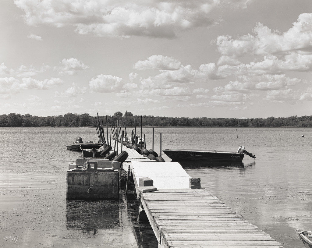
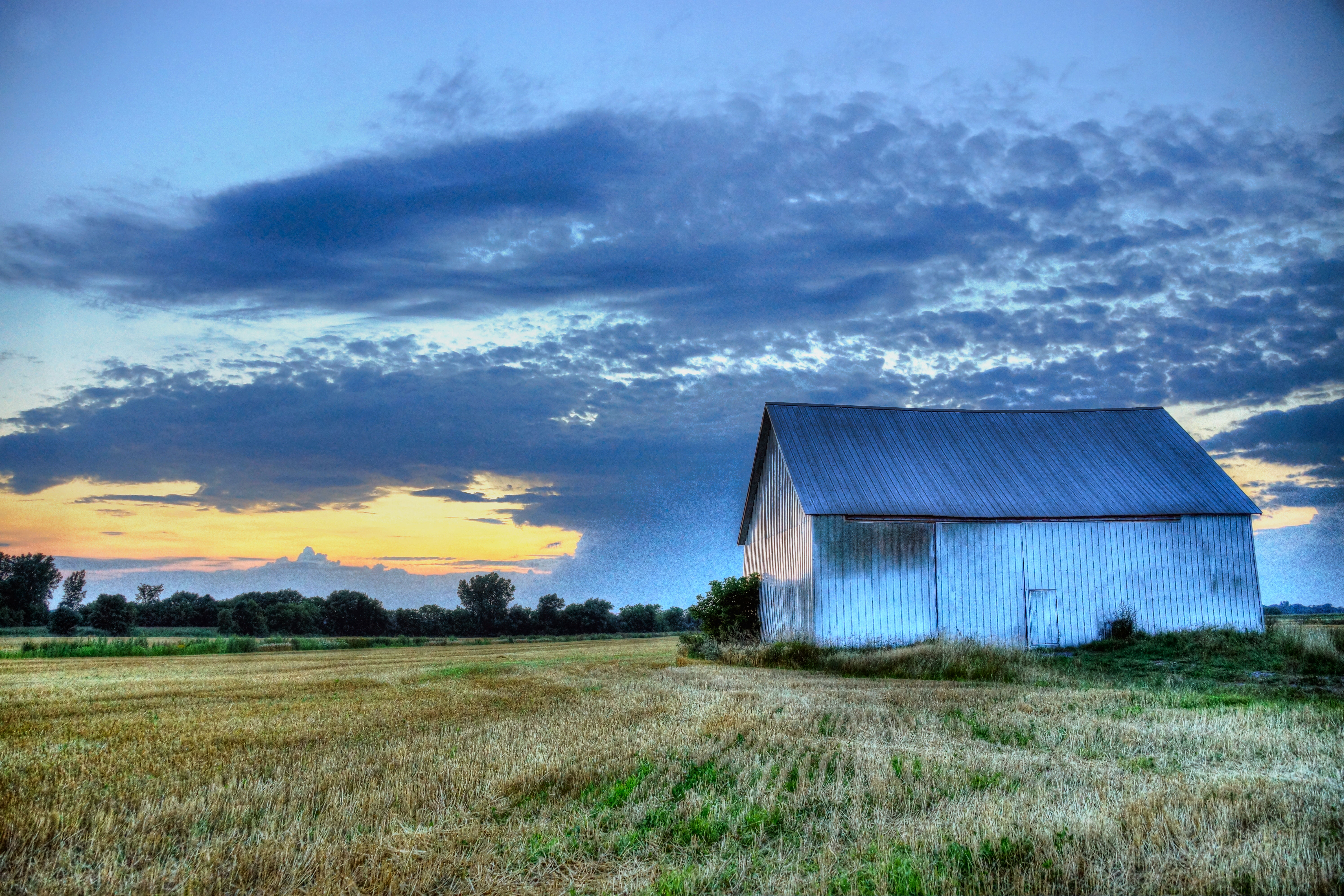
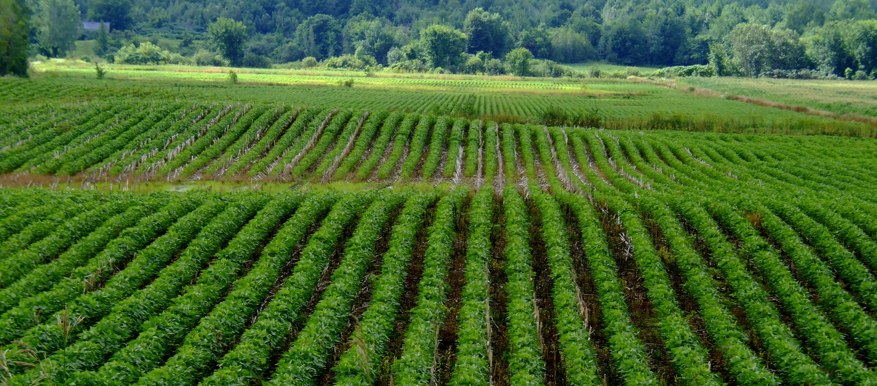
Scheimpflug / Sleepy Hollow!!
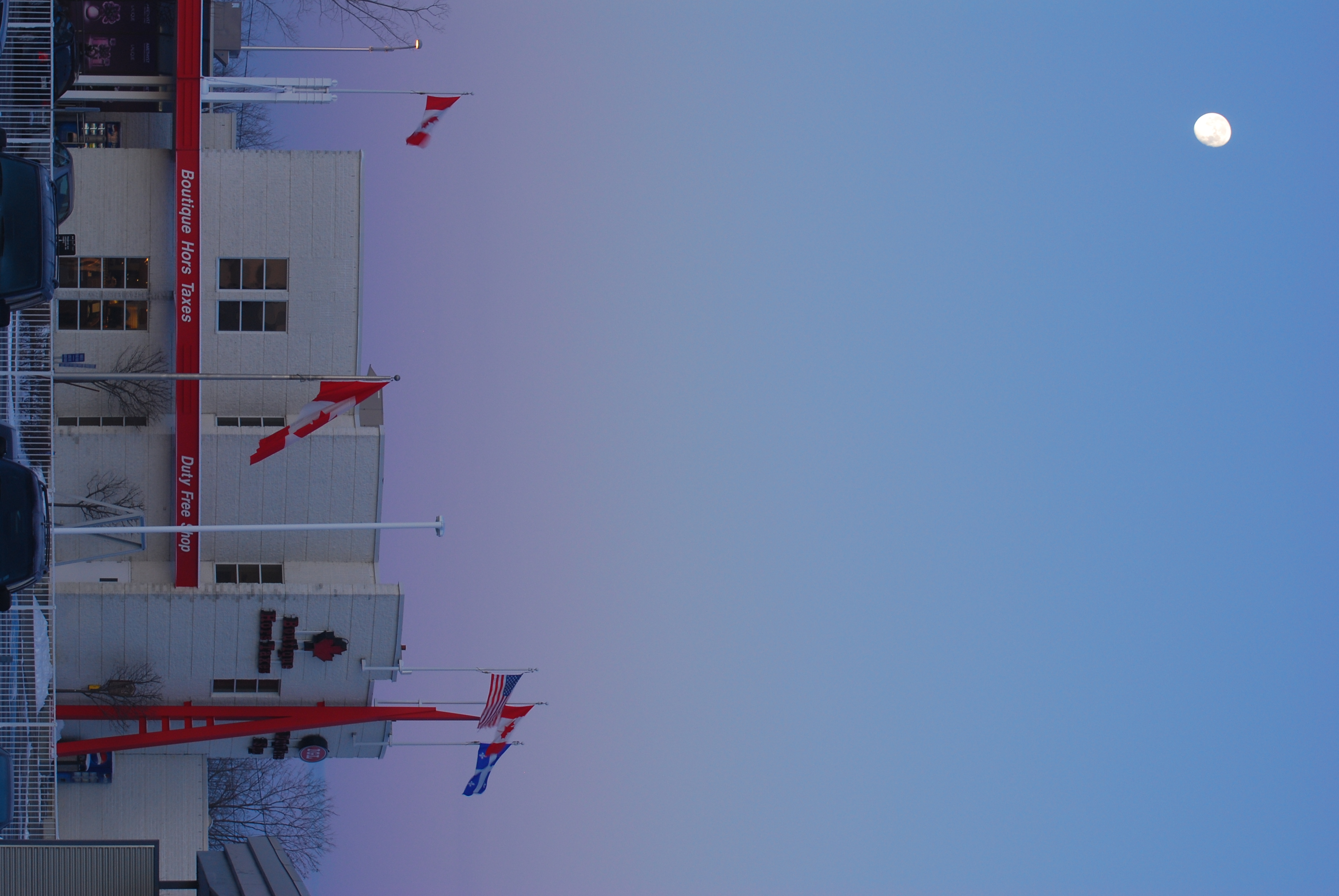
Duty Free Store - Boutique Hors Taxes
Les ultimes rayons
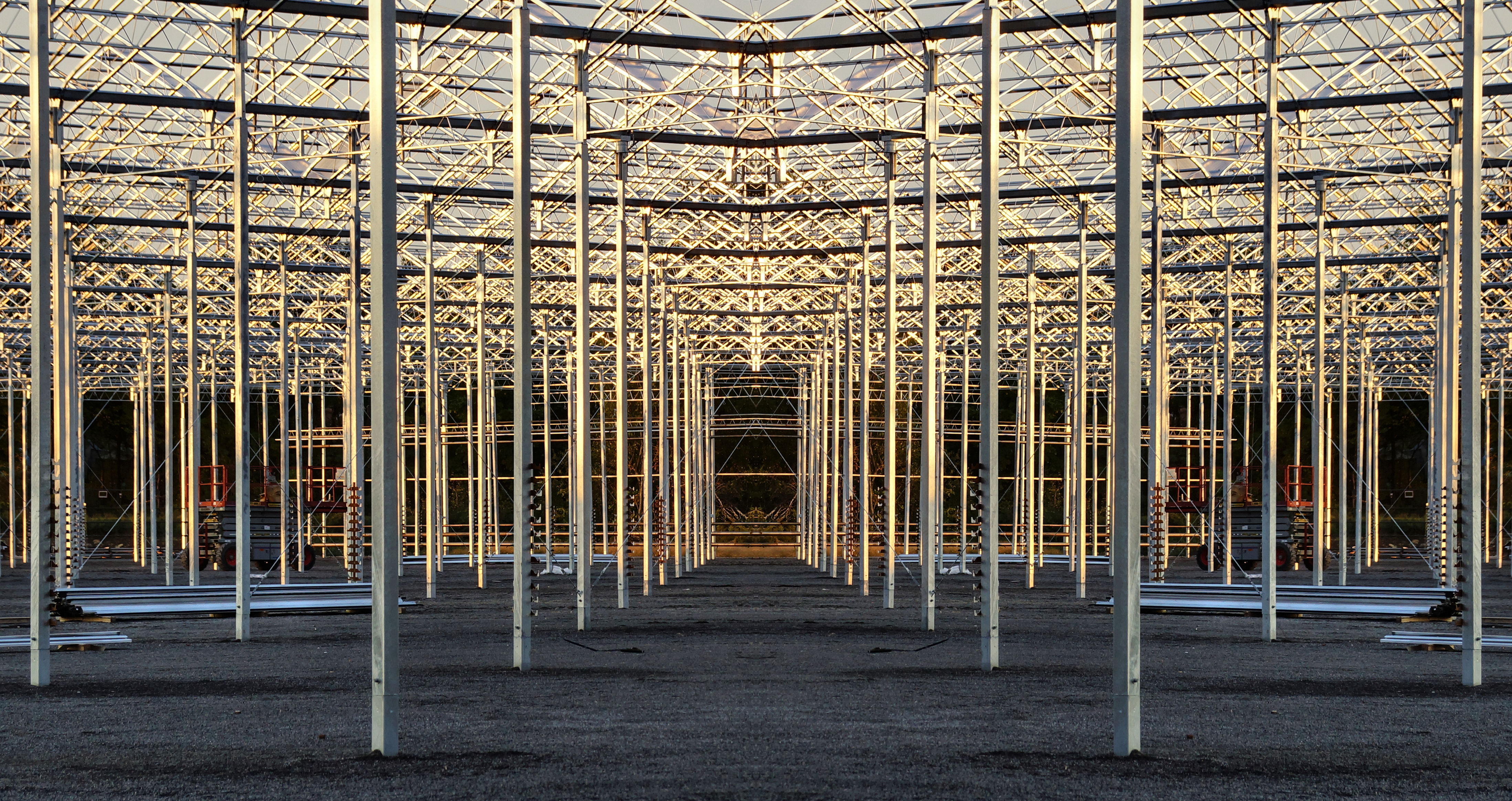
Dessin géométrique en acier structural

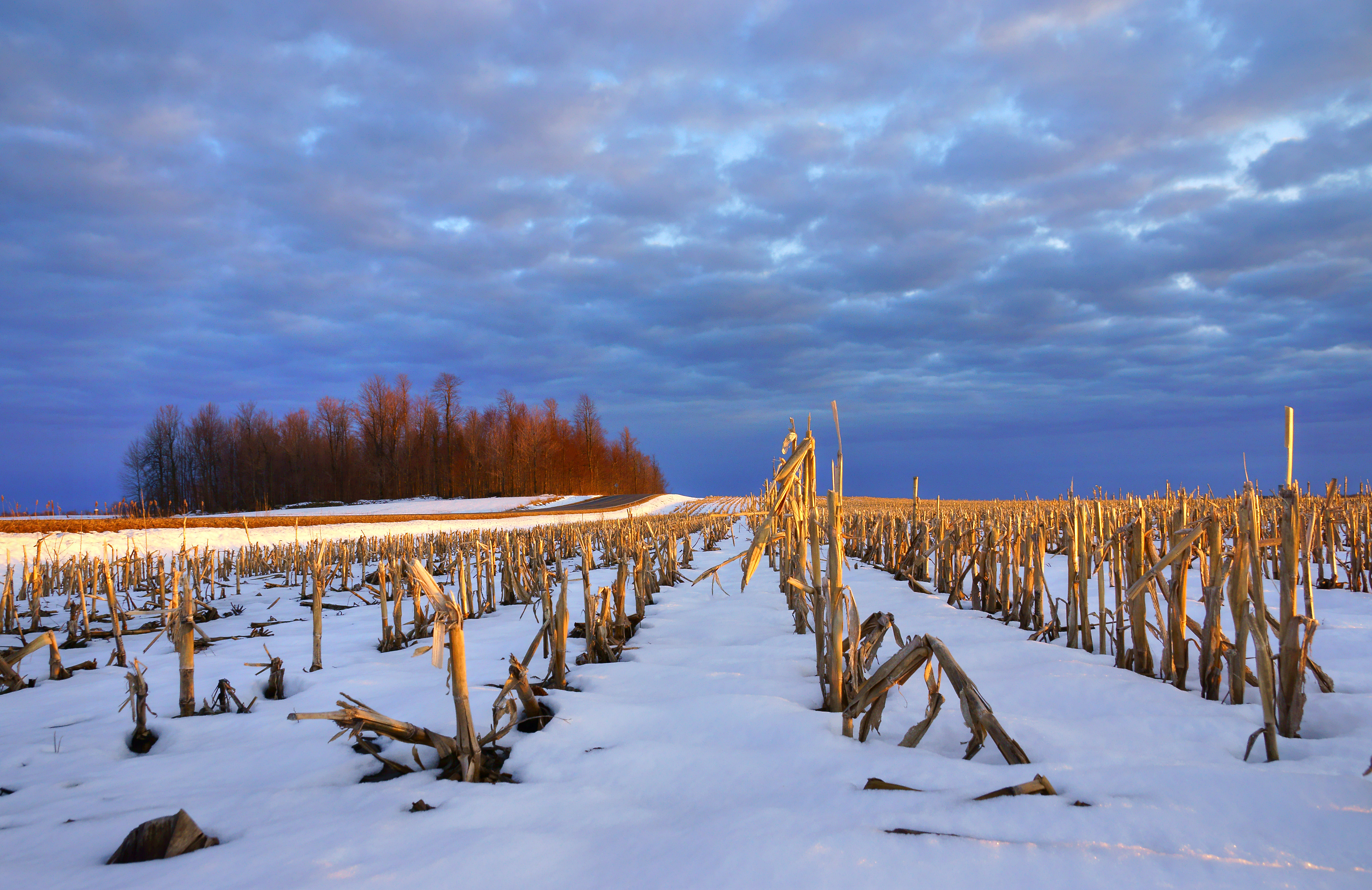
Champ enneigé

Northern Hawk Owl
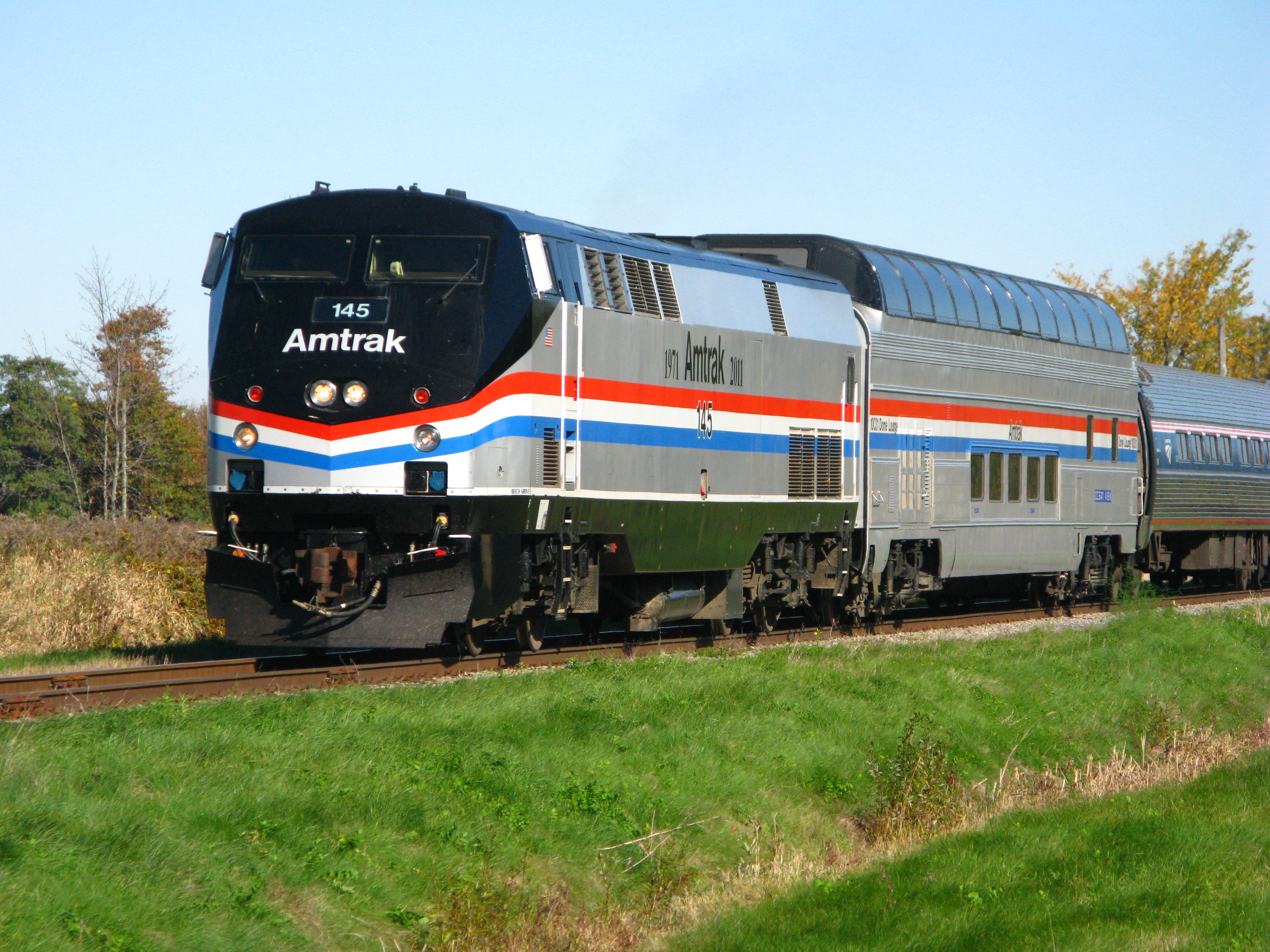
Amtrak's Adirondack with P42DC 145 & Great Dome Ocean View
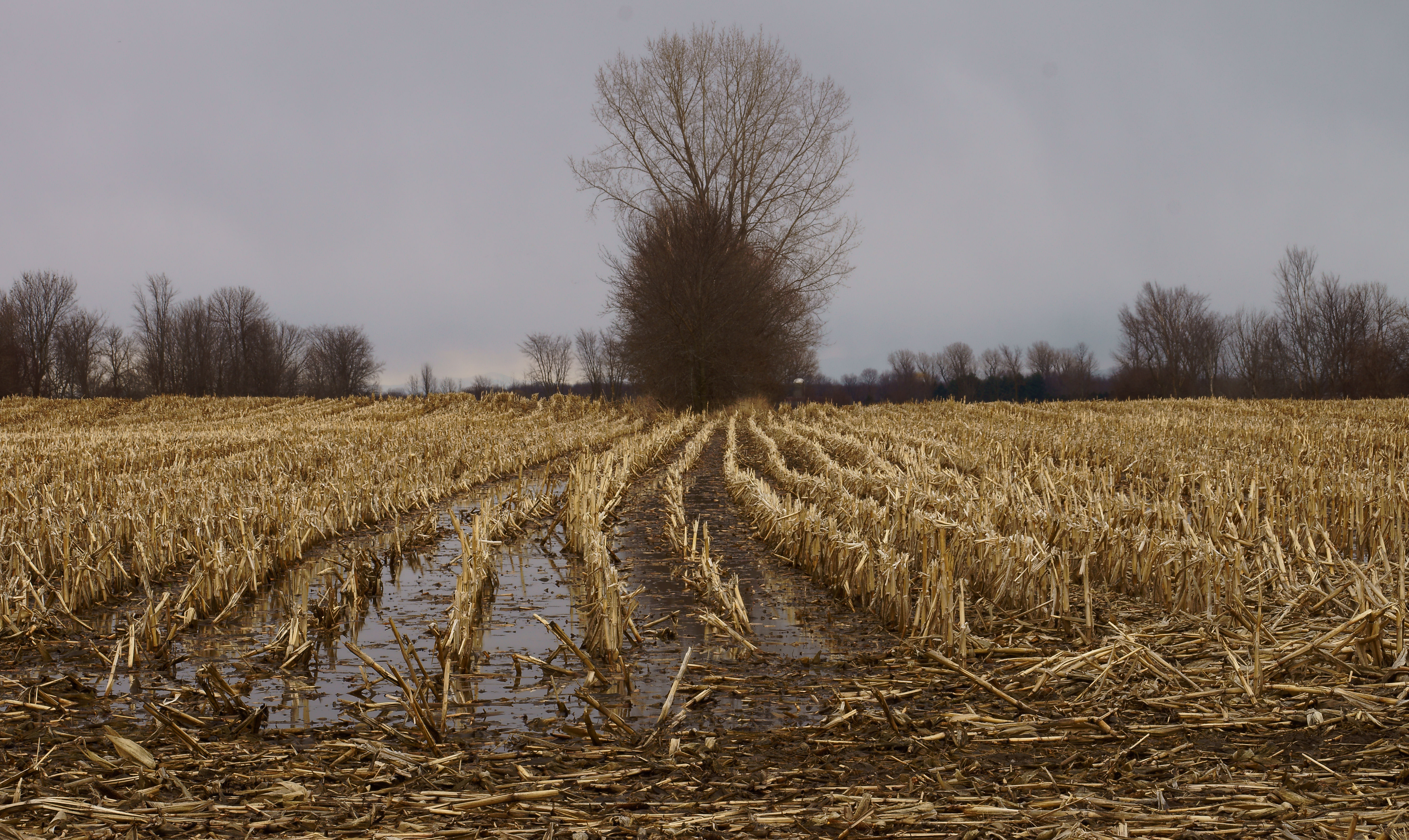
Champs détrempés
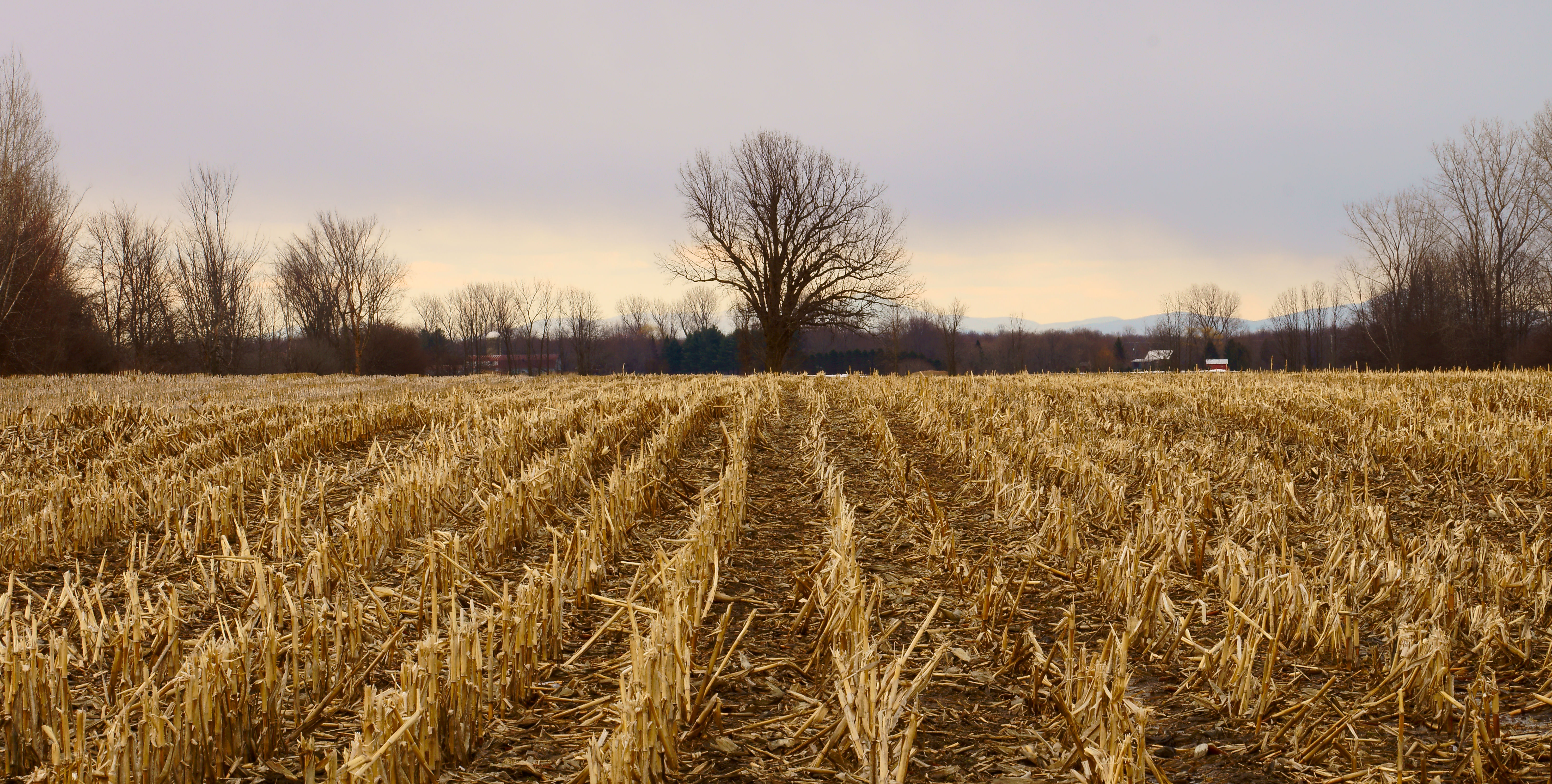
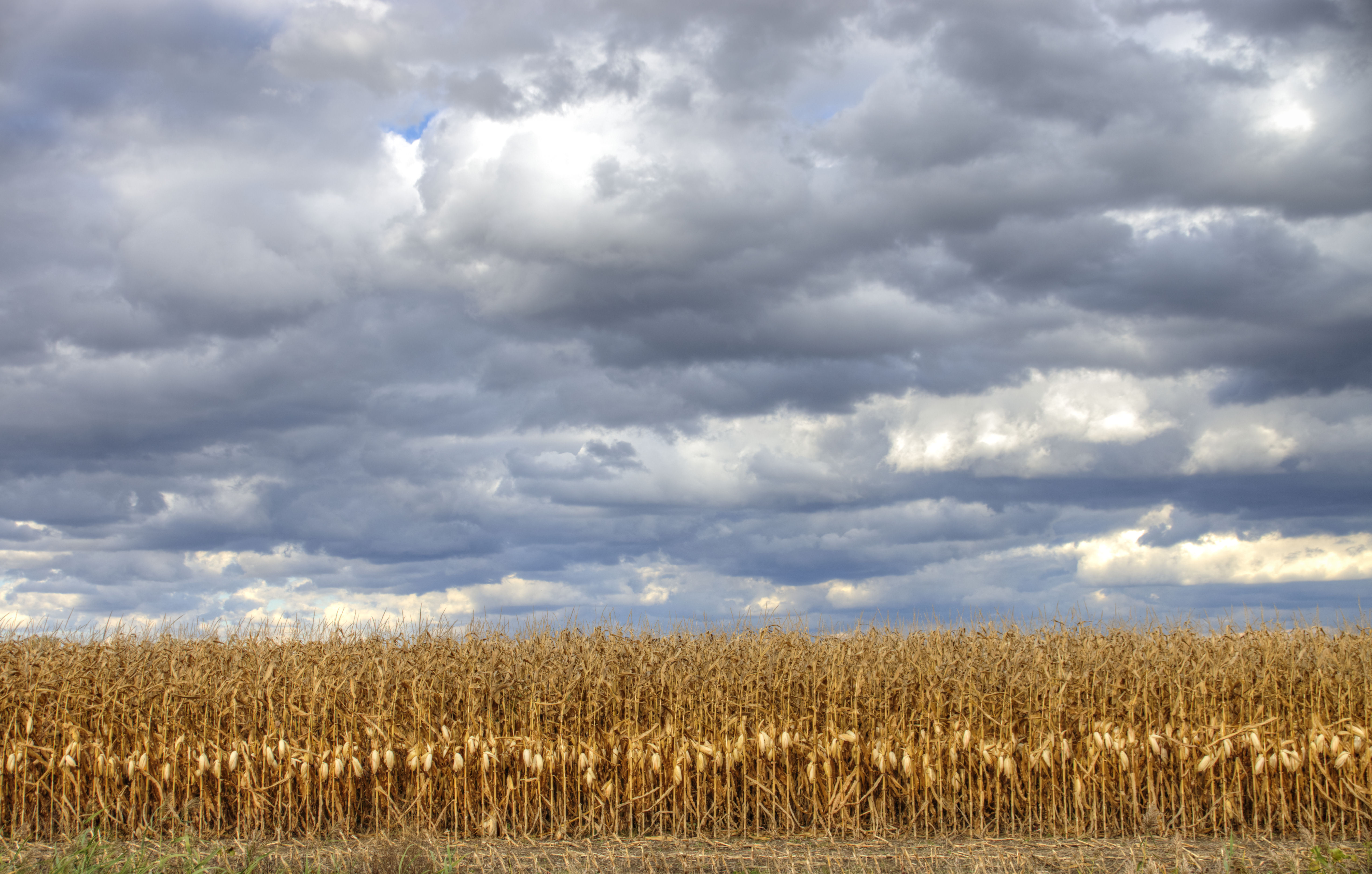
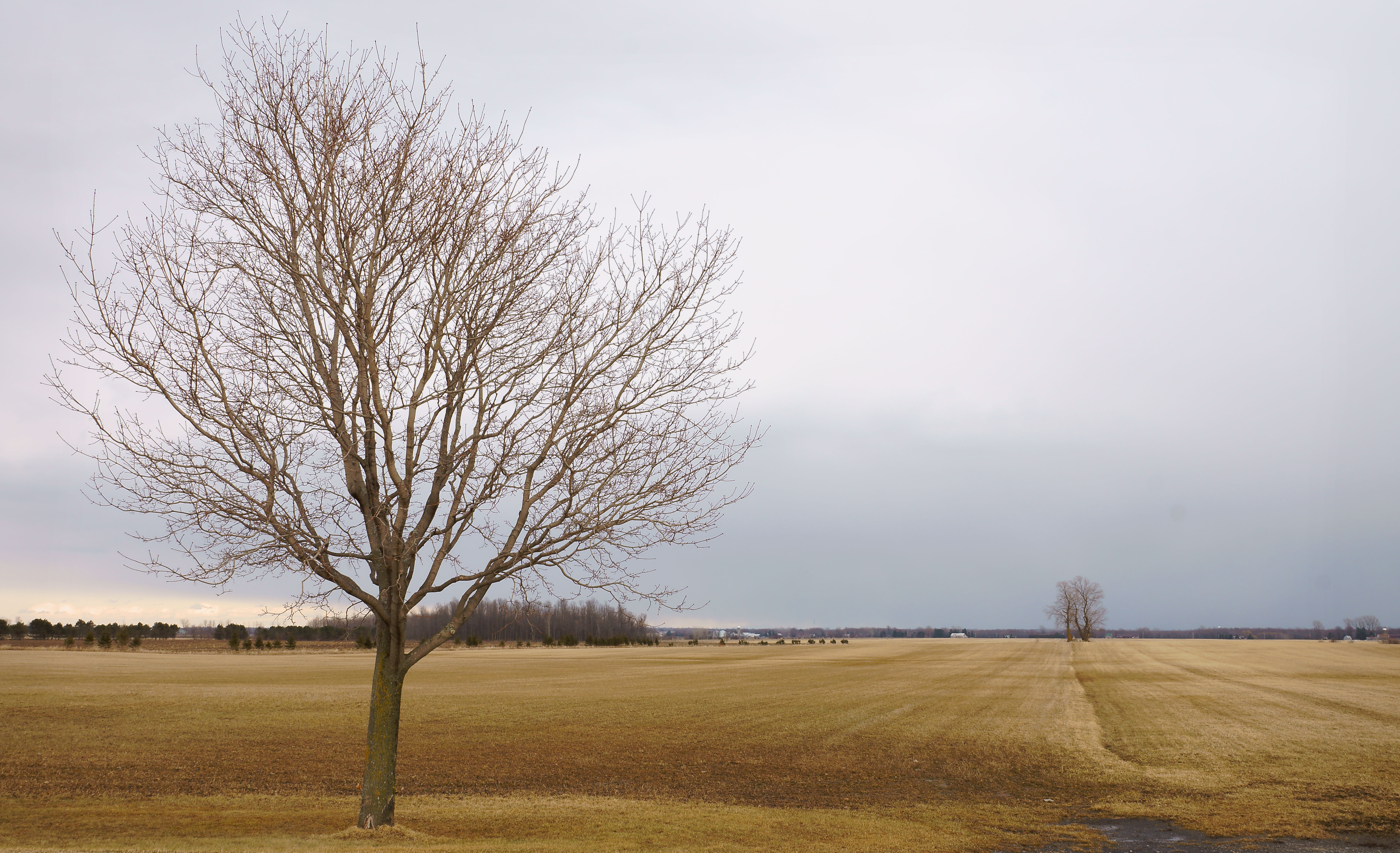
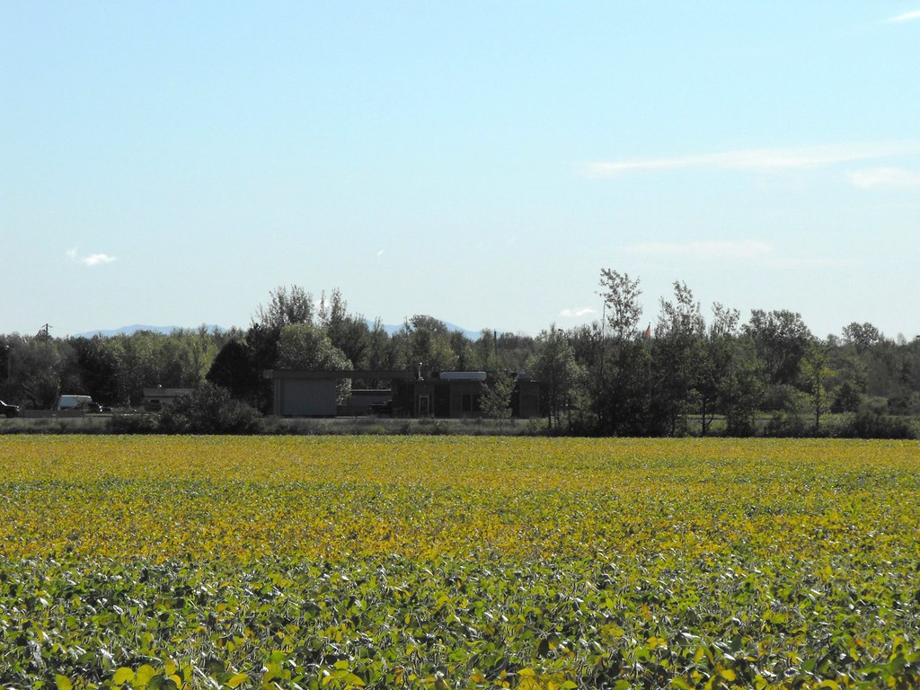
Champ doré
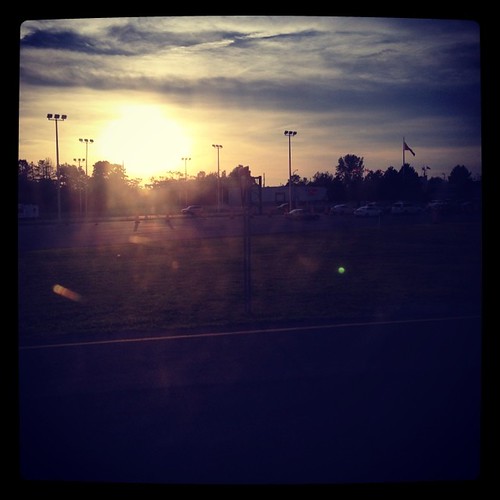
View on the train ride home

A view from the road 221 near / Vue de la route 221 près de Lacolle, Québec, Canada (P0024284)

Great Dome Oceanview - Cantic Quebec
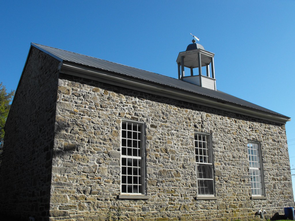
Odelltown Methodist Church
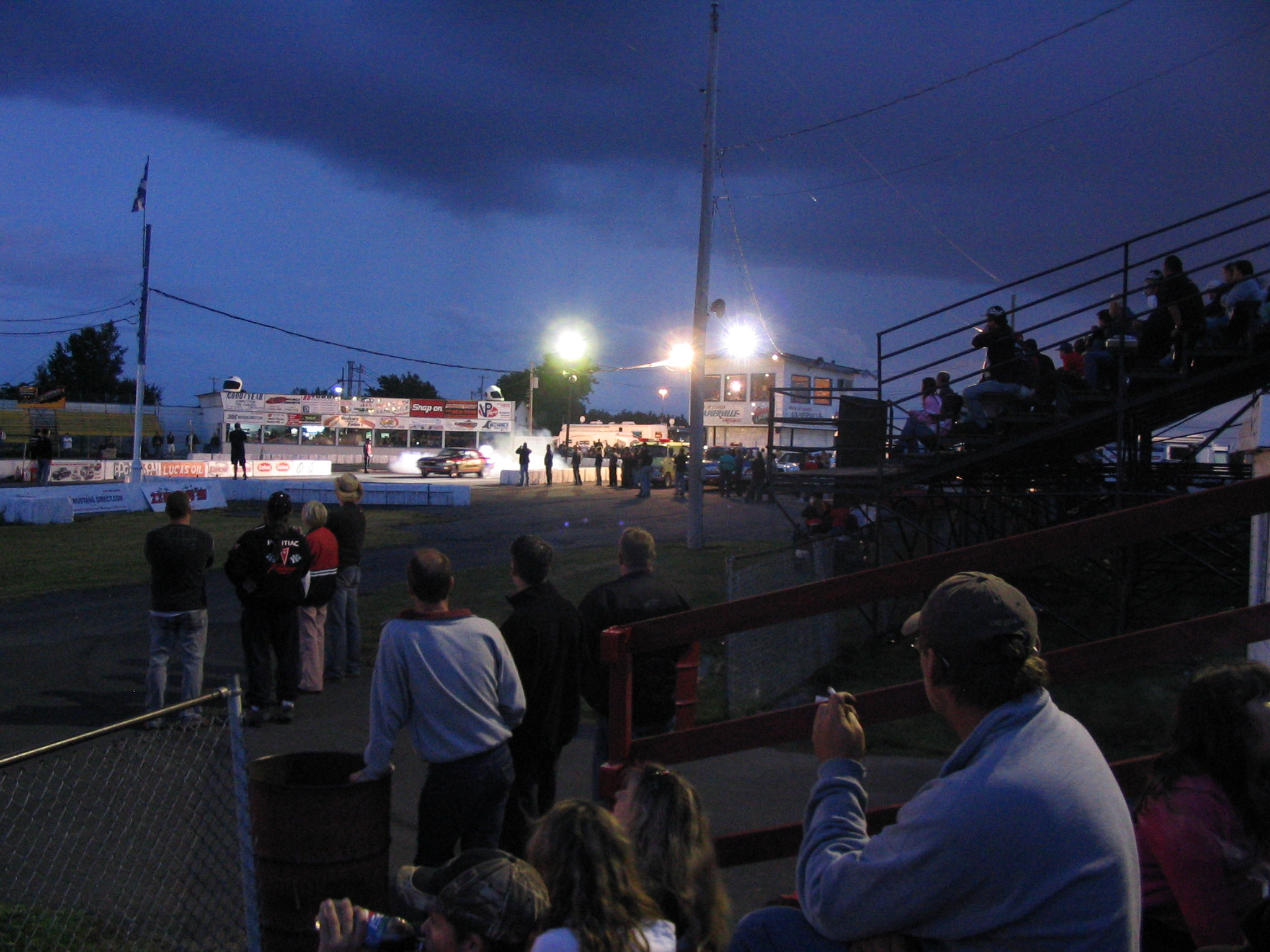
Drag racing under the lights

Light circle

Maximum limit 90

Neige fraîchement semée
«Allez, en rang, les plants de maïs...»
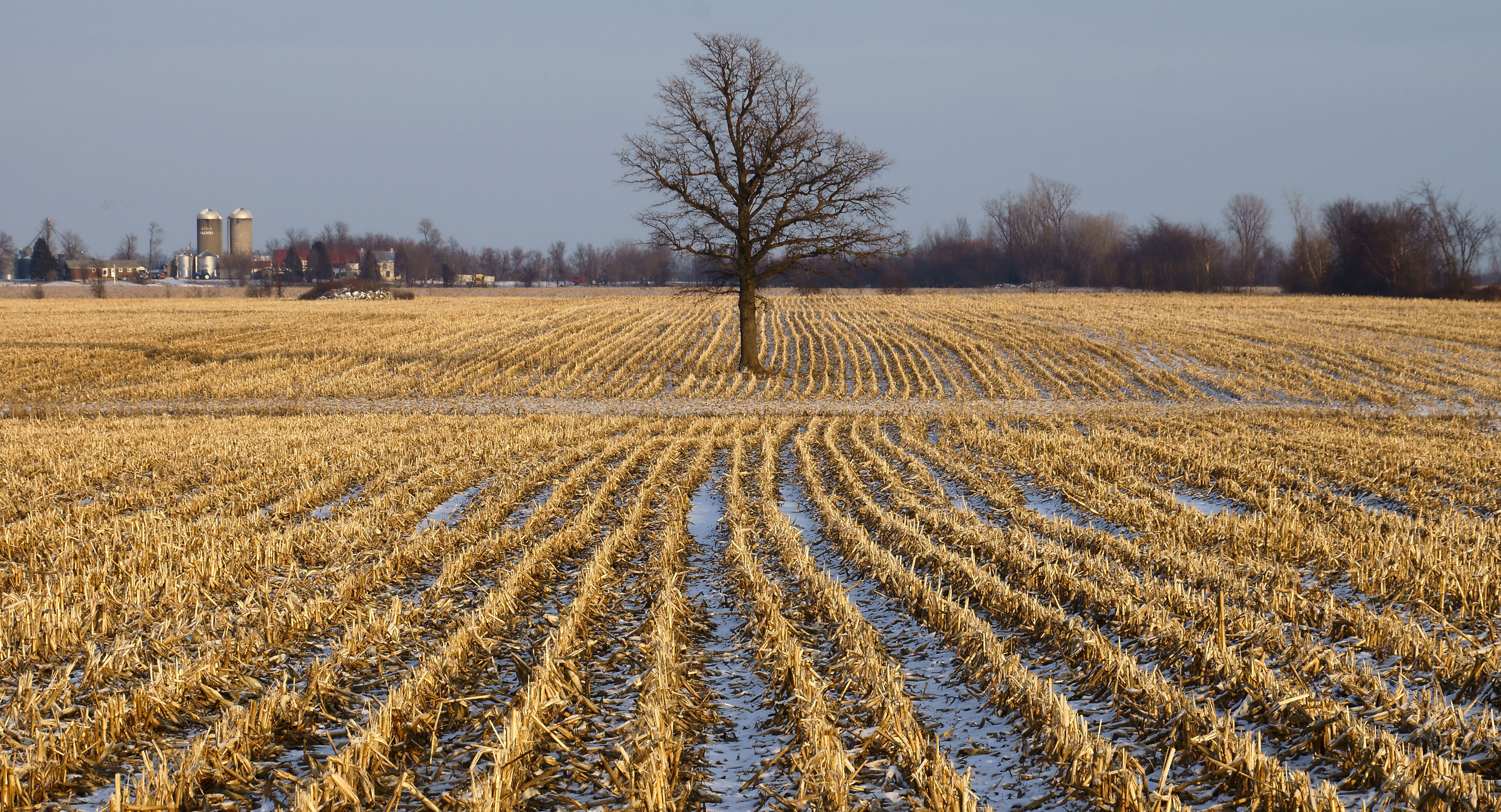
Champ de maïs congelé
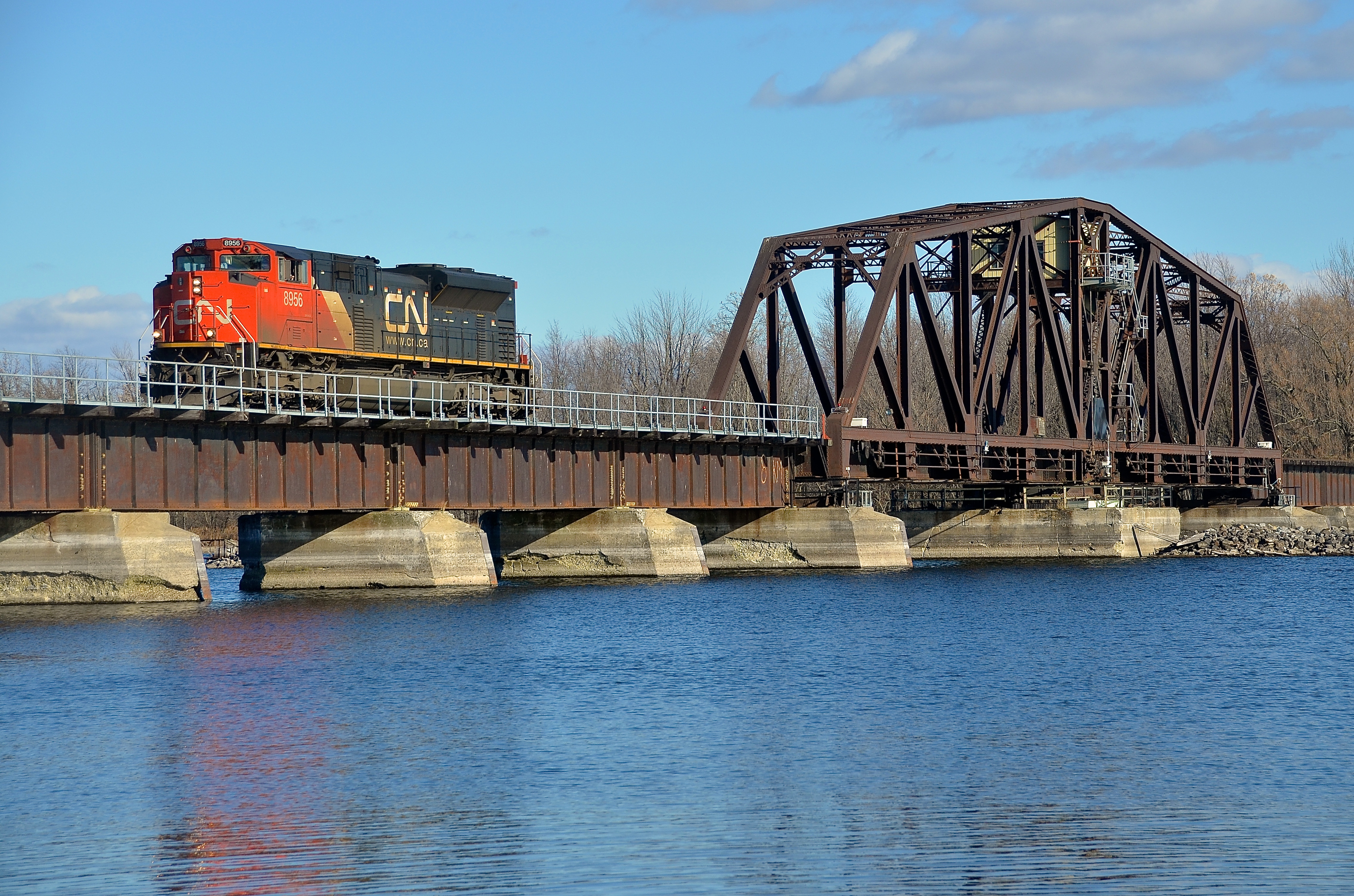
Just past the swing bridge
IMG_7748.JPG
Un paysage couleur caramel
Waiting at the border is always fun. #sunset #bordercrossing #champlain
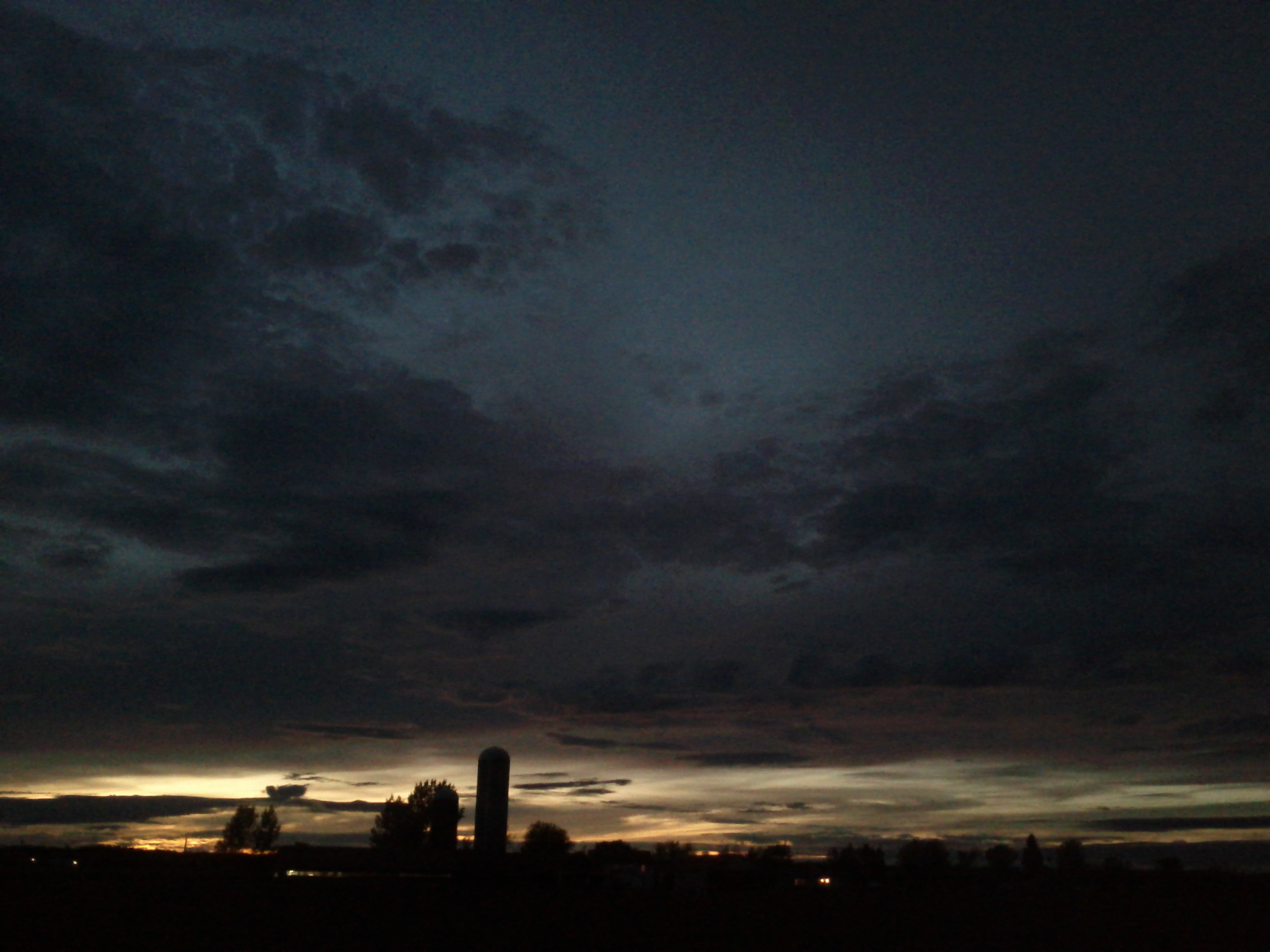
Crépuscule rural
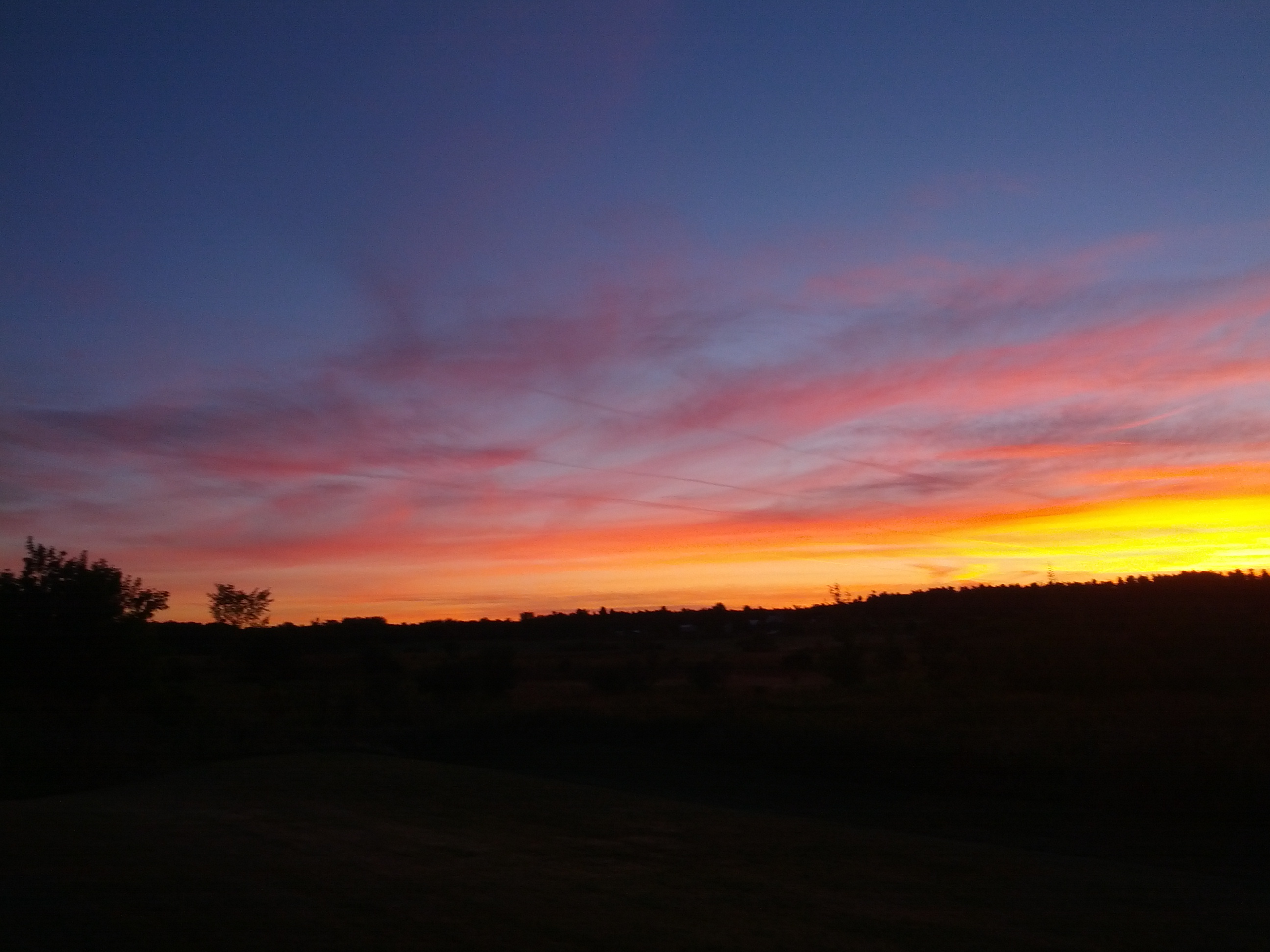
good morning champlain
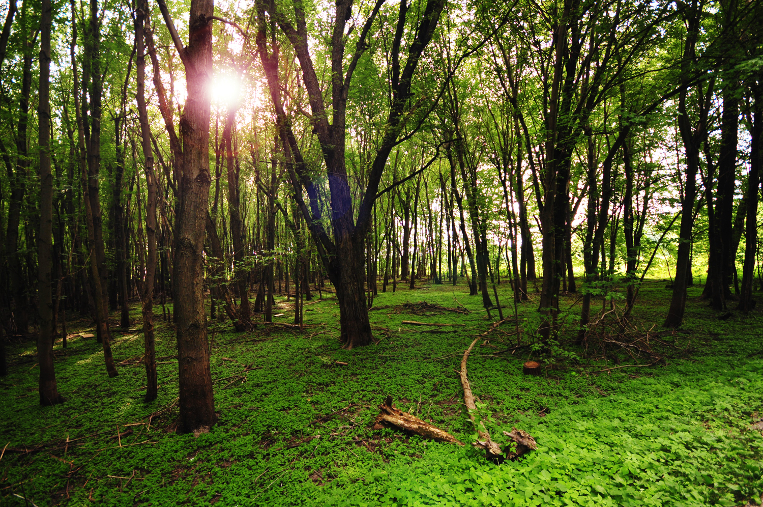
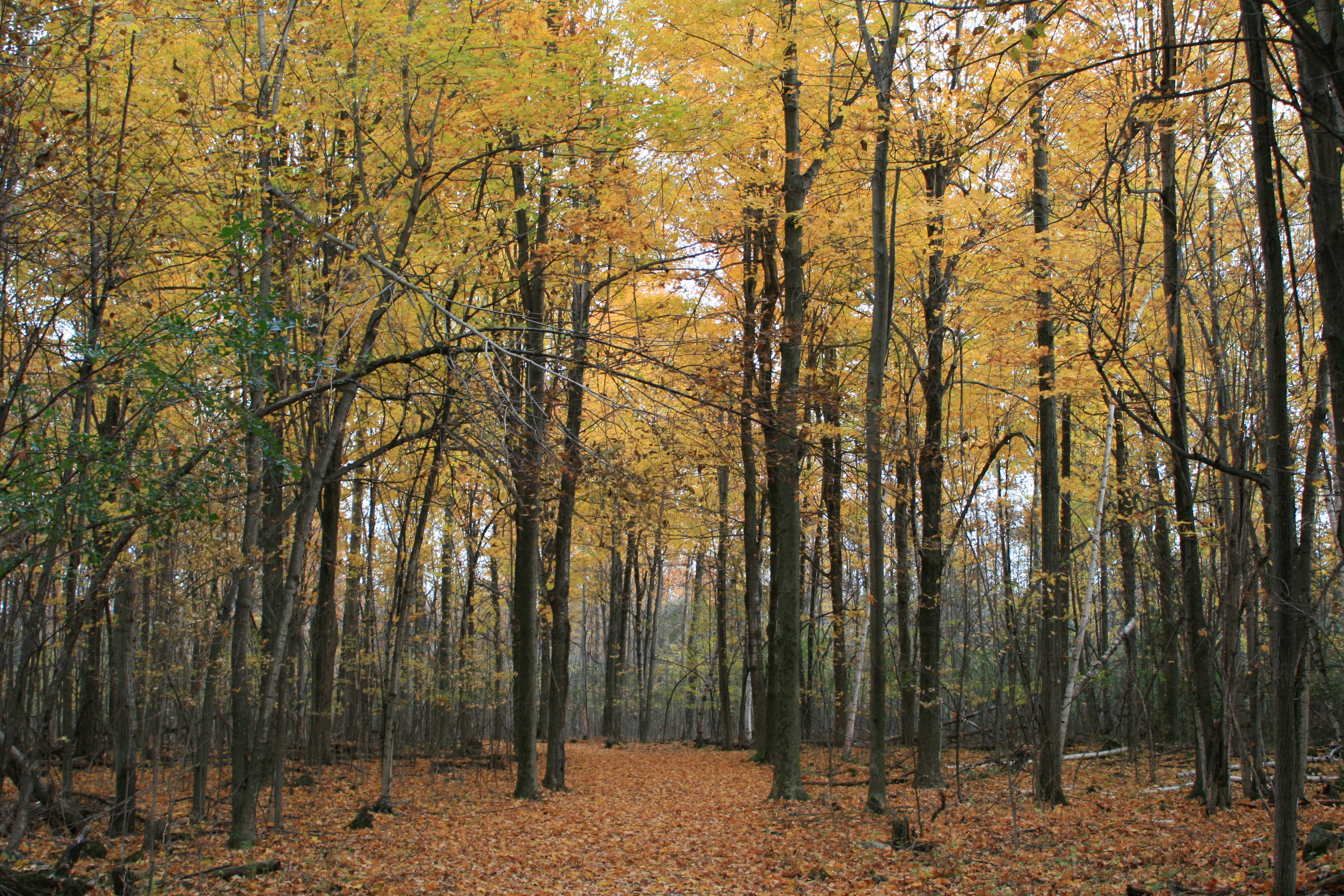
[ mysterious creatures inhabit the forest ] ...Or so I like to believe.
face-13

20120901-_DSC3965-
Vague végétale
Lacolle (Rte 233) Canadian Port of Entry

20120901-_DSC3966-

La lumière au bout du bocage...
Topographic Map of Rang Saint-Michel, Sherrington, QC J0L 2N0, Canada
Find elevation by address:

Places near Rang Saint-Michel, Sherrington, QC J0L 2N0, Canada:
482 Rang Saint-michel
482 Rang Saint-michel
Saint-patrice-de-sherrington
Montée Kenny, Hemmingford, QC J0L 1H0, Canada
Les Jardins-de-napierville Regional County Municipality
578 Chemin Brownlee
Hemmingford
Hemmingford
234 Qc-219
294 Chemin Hurley
144 Qc-219
162 Chemin De Covey Hill
Aph Cabinets
Saint-chrysostome
Rue Notre Dame, Saint-Chrysostome, QC J0S 1R0, Canada
Havelock
Covey Hill
Chemin De Covey Hill
Aubrey
99 Rang Saint-antoine
Recent Searches:
- Elevation of Congressional Dr, Stevensville, MD, USA
- Elevation of Bellview Rd, McLean, VA, USA
- Elevation of Stage Island Rd, Chatham, MA, USA
- Elevation of Shibuya Scramble Crossing, 21 Udagawacho, Shibuya City, Tokyo -, Japan
- Elevation of Jadagoniai, Kaunas District Municipality, Lithuania
- Elevation of Pagonija rock, Kranto 7-oji g. 8"N, Kaunas, Lithuania
- Elevation of Co Rd 87, Jamestown, CO, USA
- Elevation of Tenjo, Cundinamarca, Colombia
- Elevation of Côte-des-Neiges, Montreal, QC H4A 3J6, Canada
- Elevation of Bobcat Dr, Helena, MT, USA