Elevation of 99 Rang Saint-Antoine, Saint-Chrysostome, QC J0S 1R0, Canada
Location: Canada > Québec > Le Haut-saint-laurent Regional County Municipality > Saint-chrysostome >
Longitude: -73.809679
Latitude: 45.1024973
Elevation: 61m / 200feet
Barometric Pressure: 101KPa
Elevation Map:
Satellite Map:
Related Photos:

A view within Le Pont Turcot in Howick, Quebec
White-tailed Deer
Ormstown Fair / Expo d'Ormstown
Ormstown Fair / Expo d'Ormstown
Ormstown Fair / Expo d'Ormstown

View of midway from parking lot

Horse grazing
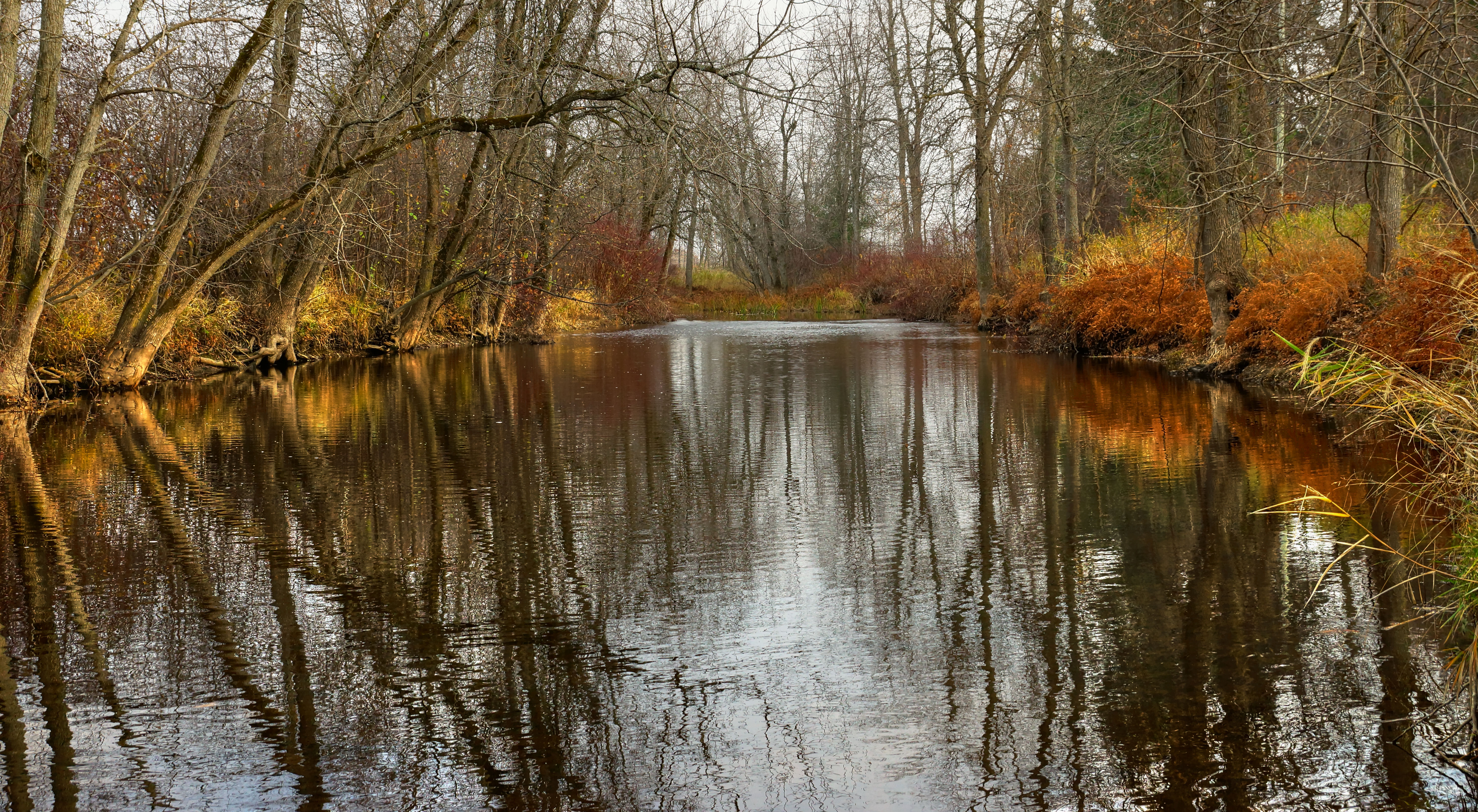
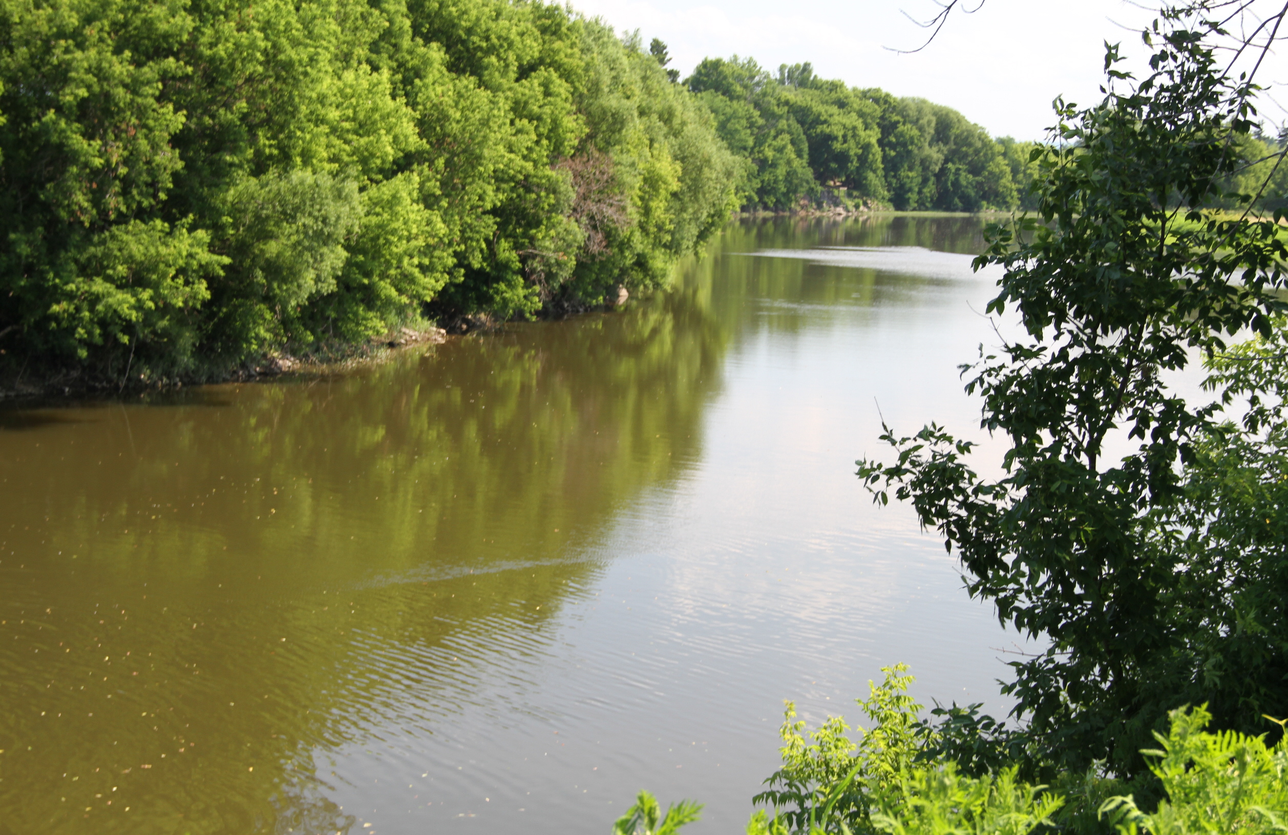
La rivière des Anglais drapée d'ocre

The Old Barn
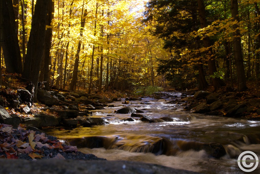
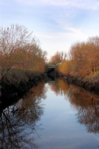
Fall river stream
Au camping
Au Camping
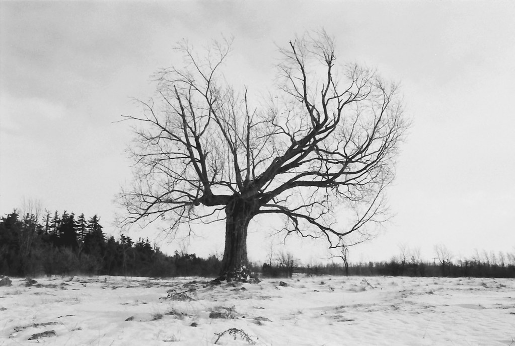
The Old Oak
Where I used to play

Abandoned house

Wooden American Flag
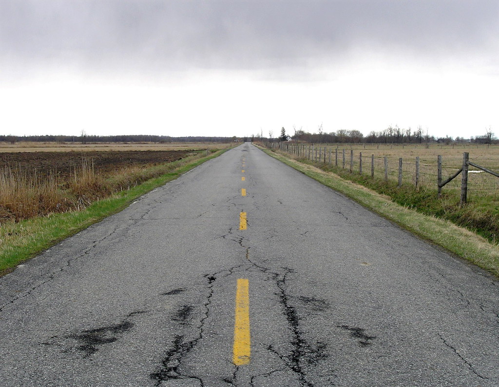
Norton Creek Road
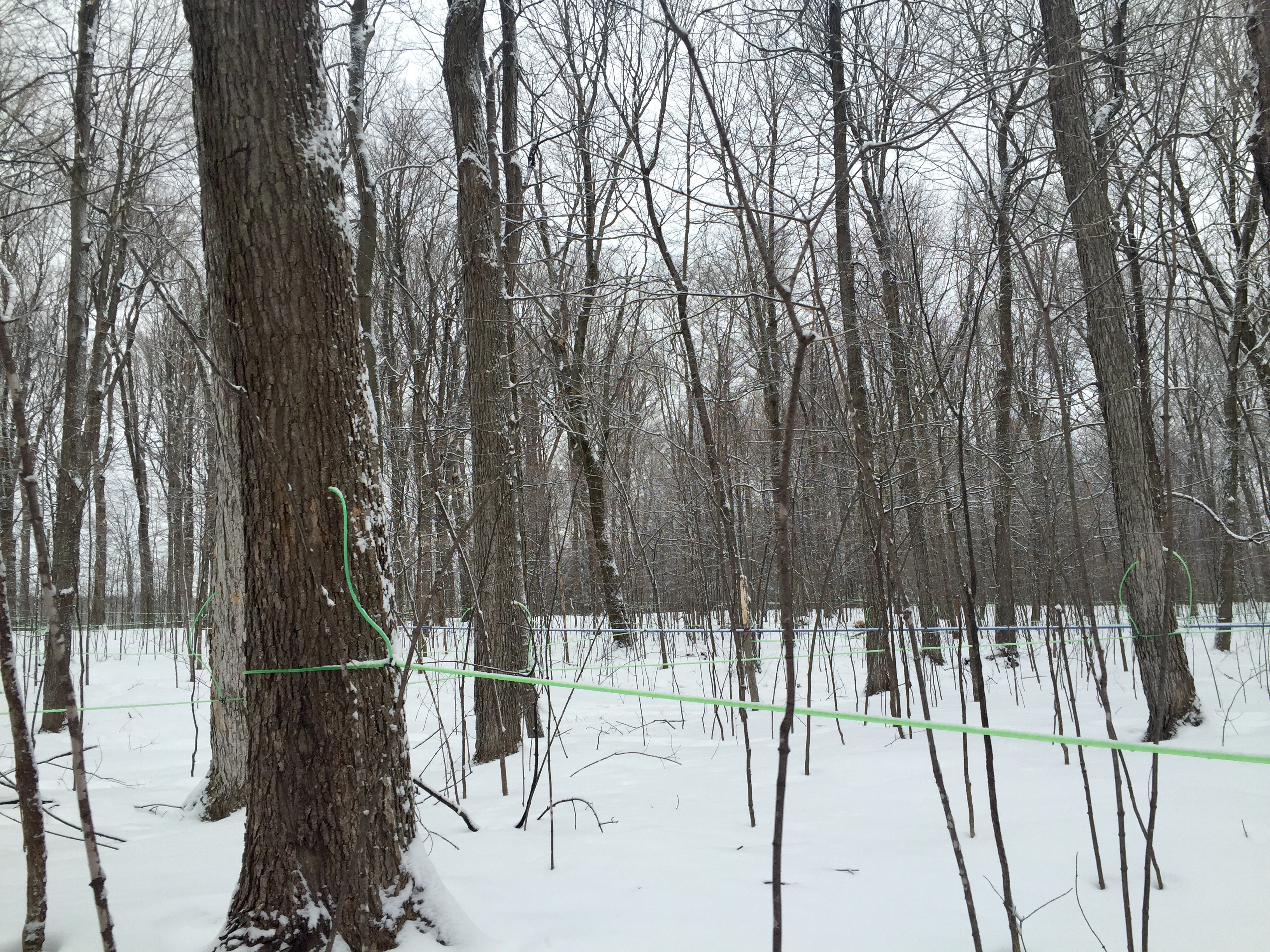
Modern maple syrup tapping
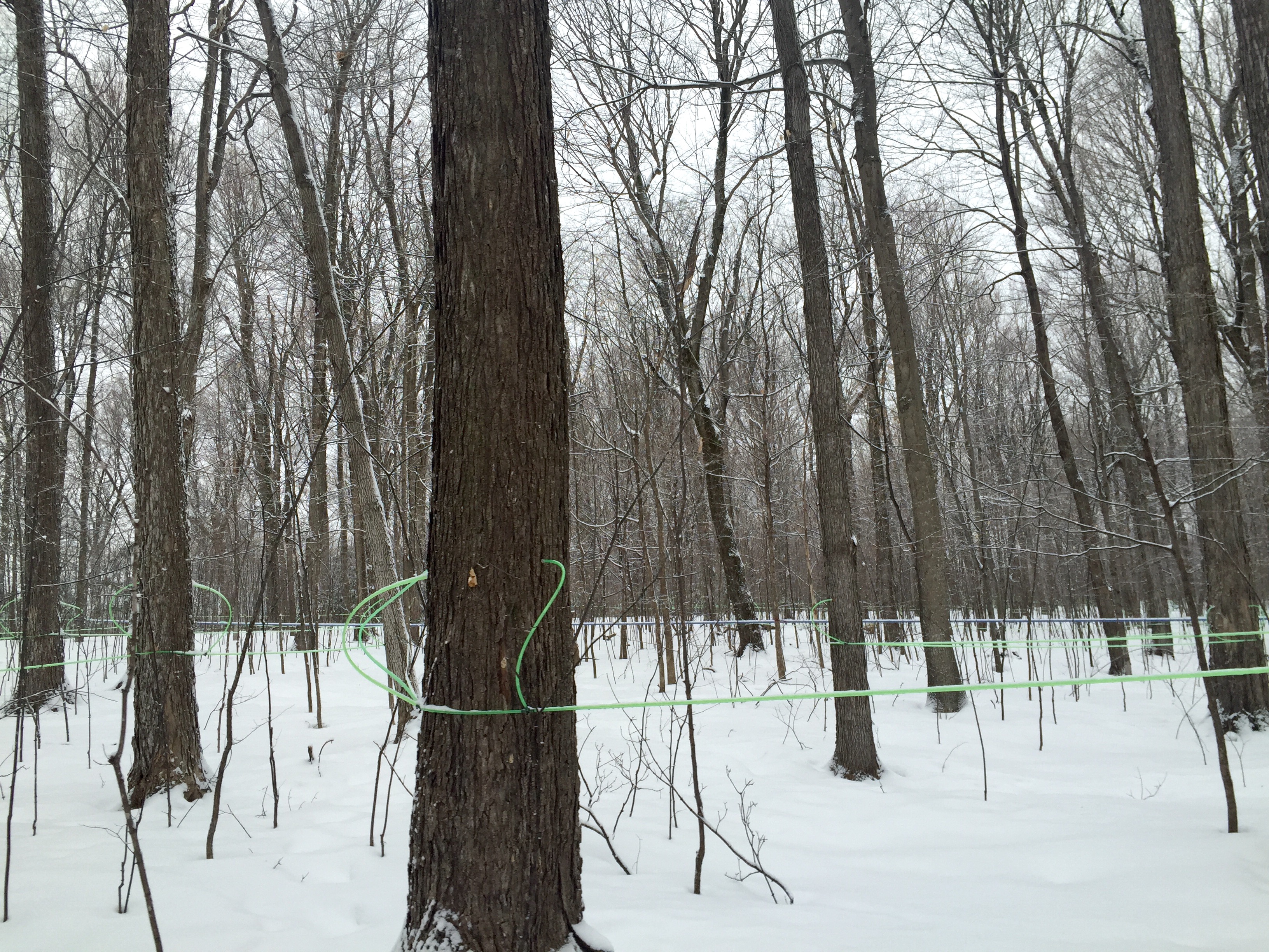
Modern maple syrup tapping
Châteauguay

Chez Charles

Barely me
2009-07-03 14.47.25
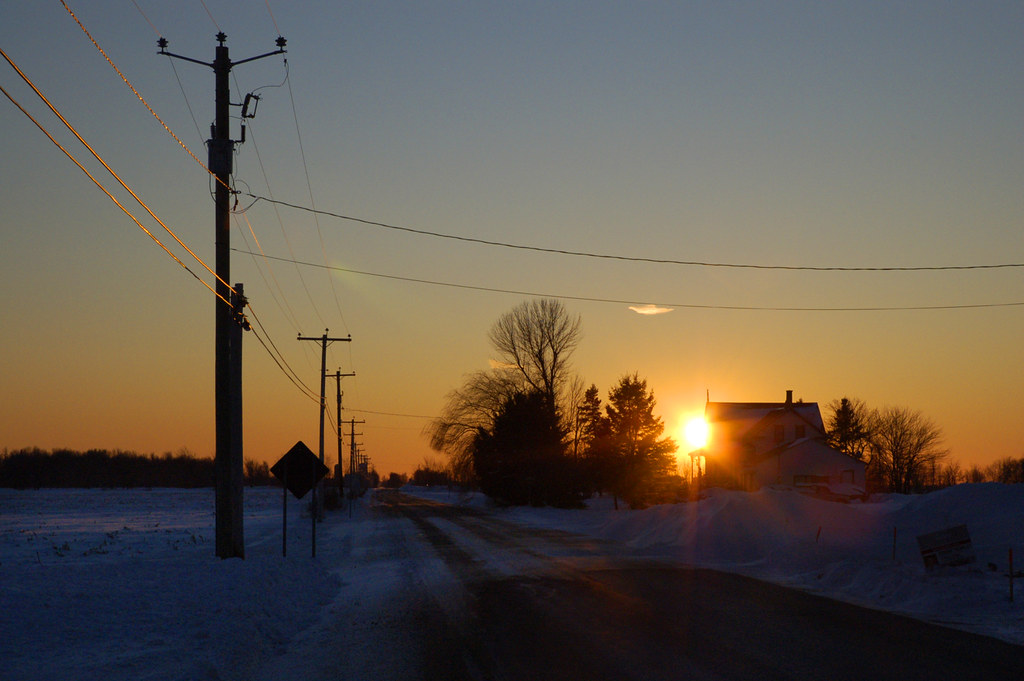
Coucher de soleil en Montérégie

Sugar Shack
Bethel Cemetery, Havelock, Qc
Topographic Map of 99 Rang Saint-Antoine, Saint-Chrysostome, QC J0S 1R0, Canada
Find elevation by address:

Places near 99 Rang Saint-Antoine, Saint-Chrysostome, QC J0S 1R0, Canada:
Aubrey
Saint-chrysostome
Rue Notre Dame, Saint-Chrysostome, QC J0S 1R0, Canada
Aph Cabinets
Havelock
Chemin De Covey Hill
Covey Hill
162 Chemin De Covey Hill
294 Chemin Hurley
Hemmingford
234 Qc-219
144 Qc-219
Hemmingford
Les Jardins-de-napierville Regional County Municipality
578 Chemin Brownlee
Montée Kenny, Hemmingford, QC J0L 1H0, Canada
Saint-patrice-de-sherrington
482 Rang Saint-michel
482 Rang Saint-michel
482 Rang Saint-michel
Recent Searches:
- Elevation of Congressional Dr, Stevensville, MD, USA
- Elevation of Bellview Rd, McLean, VA, USA
- Elevation of Stage Island Rd, Chatham, MA, USA
- Elevation of Shibuya Scramble Crossing, 21 Udagawacho, Shibuya City, Tokyo -, Japan
- Elevation of Jadagoniai, Kaunas District Municipality, Lithuania
- Elevation of Pagonija rock, Kranto 7-oji g. 8"N, Kaunas, Lithuania
- Elevation of Co Rd 87, Jamestown, CO, USA
- Elevation of Tenjo, Cundinamarca, Colombia
- Elevation of Côte-des-Neiges, Montreal, QC H4A 3J6, Canada
- Elevation of Bobcat Dr, Helena, MT, USA