Elevation of Rancho Cucamonga, CA, USA
Location: United States > California > San Bernardino County > Etiwanda >
Longitude: -117.51436
Latitude: 34.1547243
Elevation: 518m / 1699feet
Barometric Pressure: 95KPa
Elevation Map:
Satellite Map:
Related Photos:

One Up One Down
A Lofty View

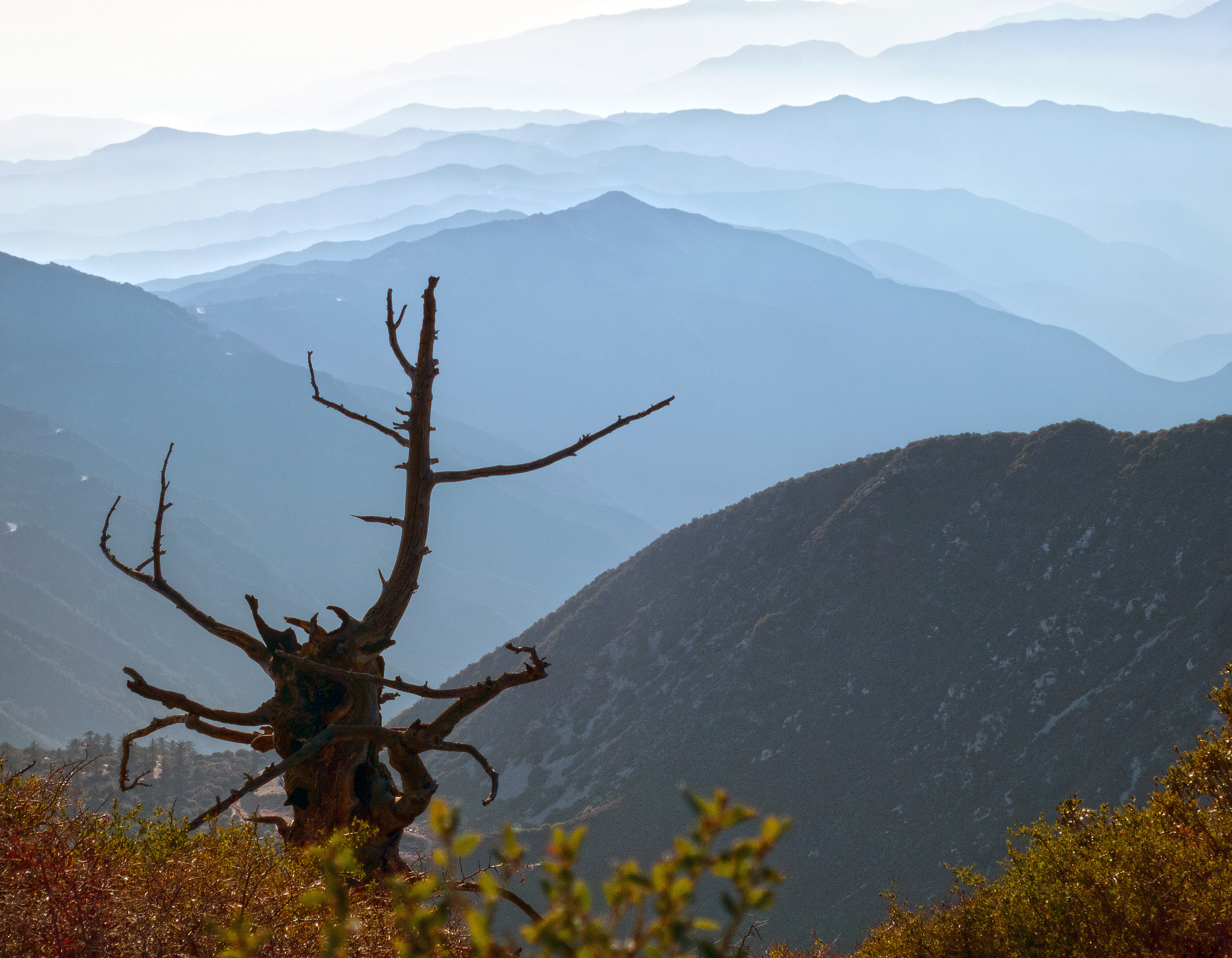
Past Vista
Sunset view of the 91 Freeway Fire
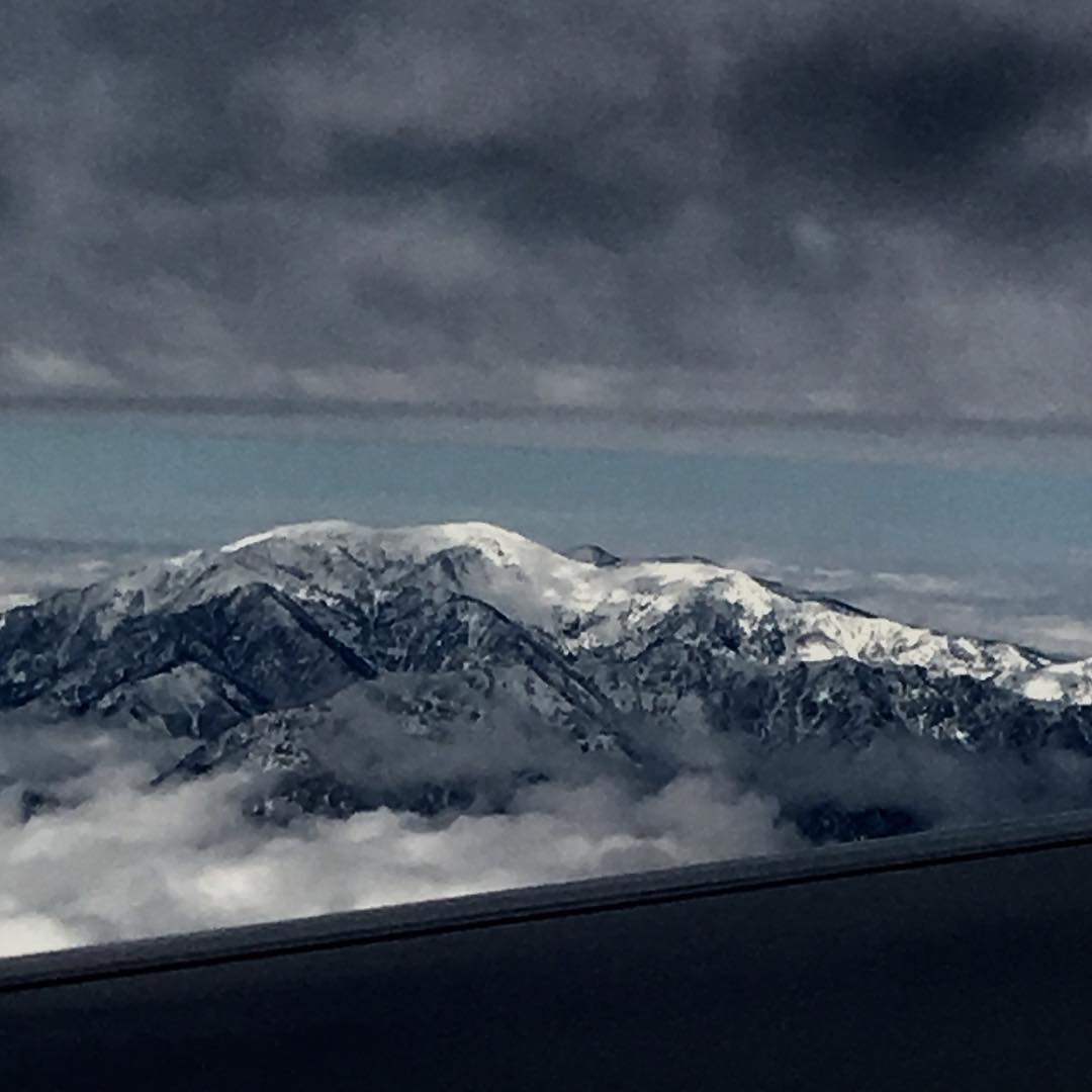
Mt. Baldy first snow
May all your trails be crooked, winding, lonesome, dangerous, leading to the most amazing view. #hiking #adventureland #mtbaldy #icehousecanyon #exploremore #photolife
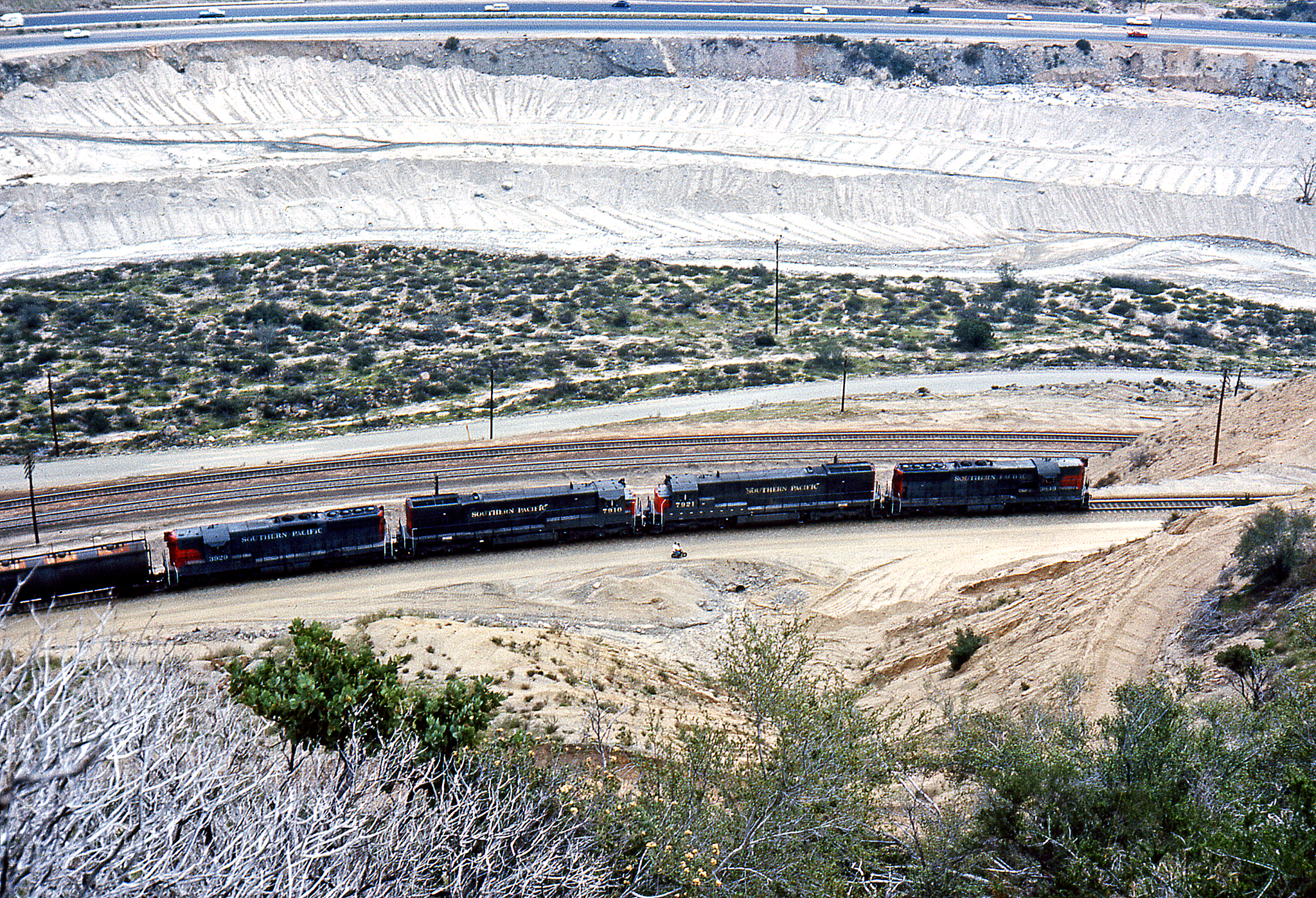
On a Curve Viewed From Above

Rancho Cucamonga View
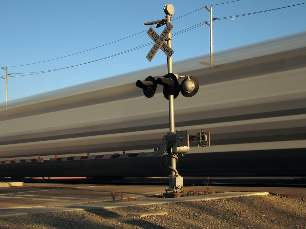
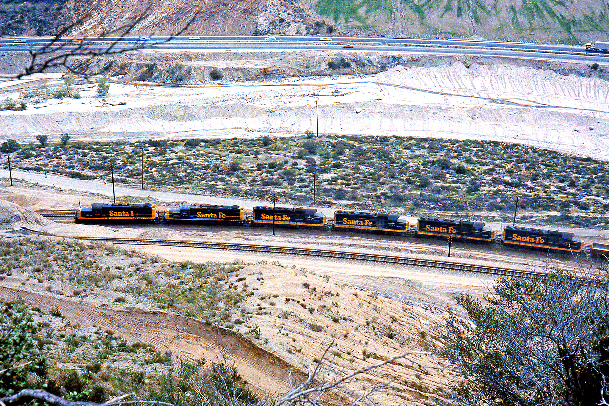
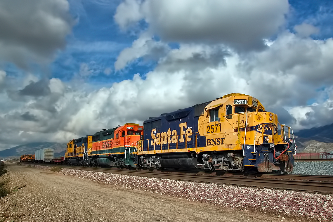
Railroad Crossing
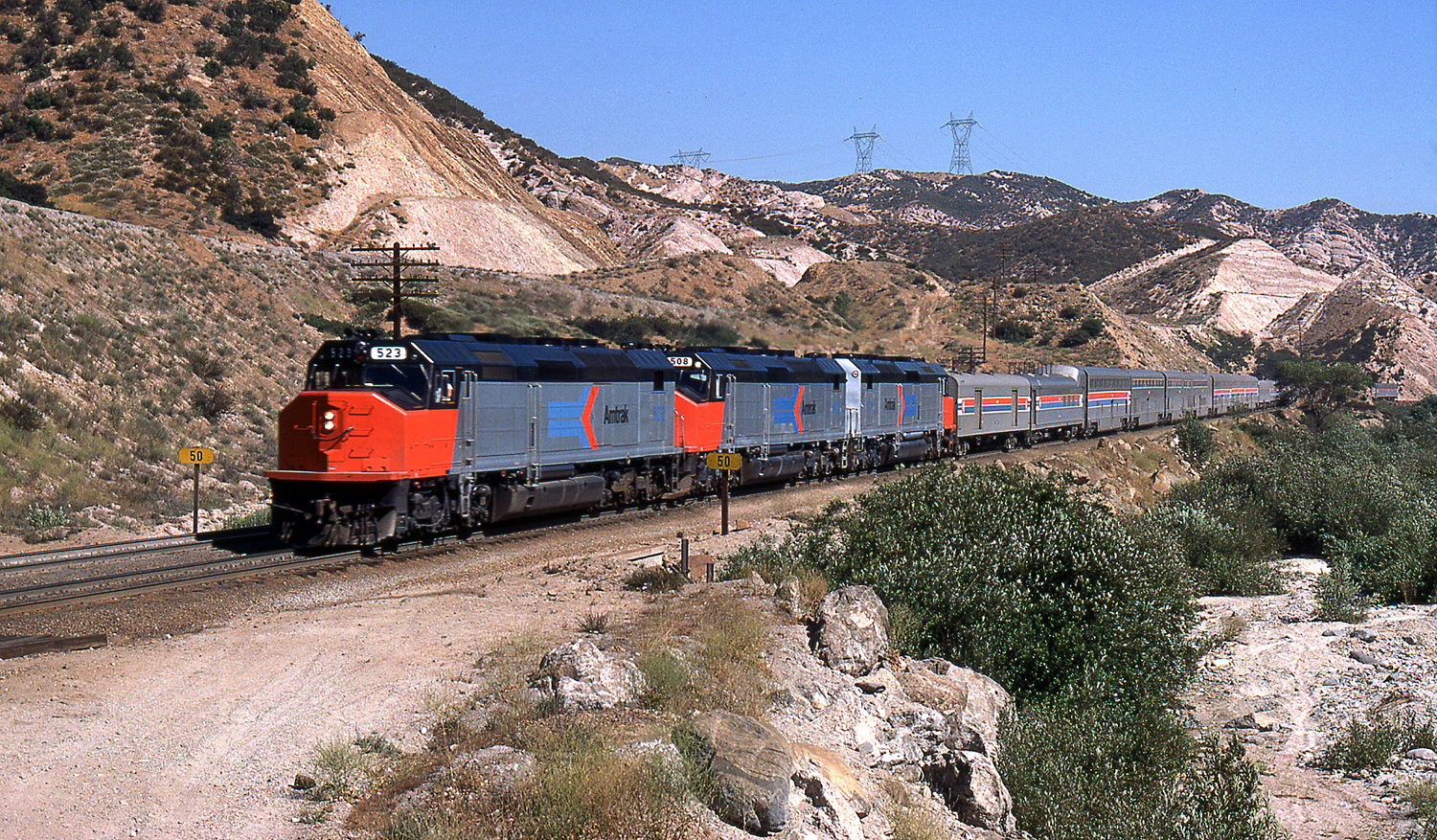
Detouring SWC
A view of the possible location for our short film The Devil's Confession. #outdoors #outside #canon #canon_photos #johnkeraphotography #landscape #earth #environment #nature #wilderness #forest #california #tree #film #filmproduction #hiking #hiker #movi

Femme Fatal FIghting 3: War of the Roses
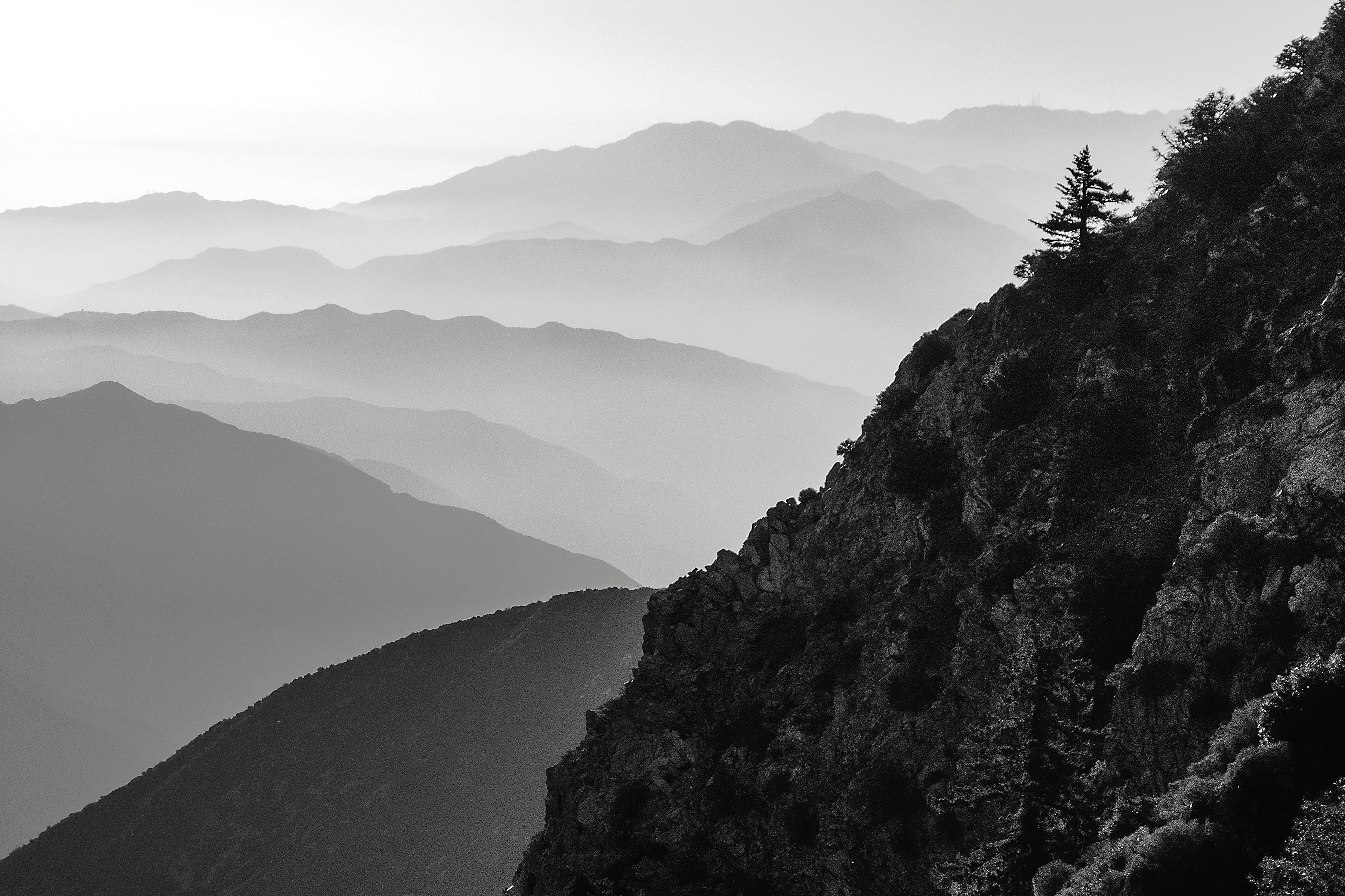
Blue Haze, Sugarloaf Peak
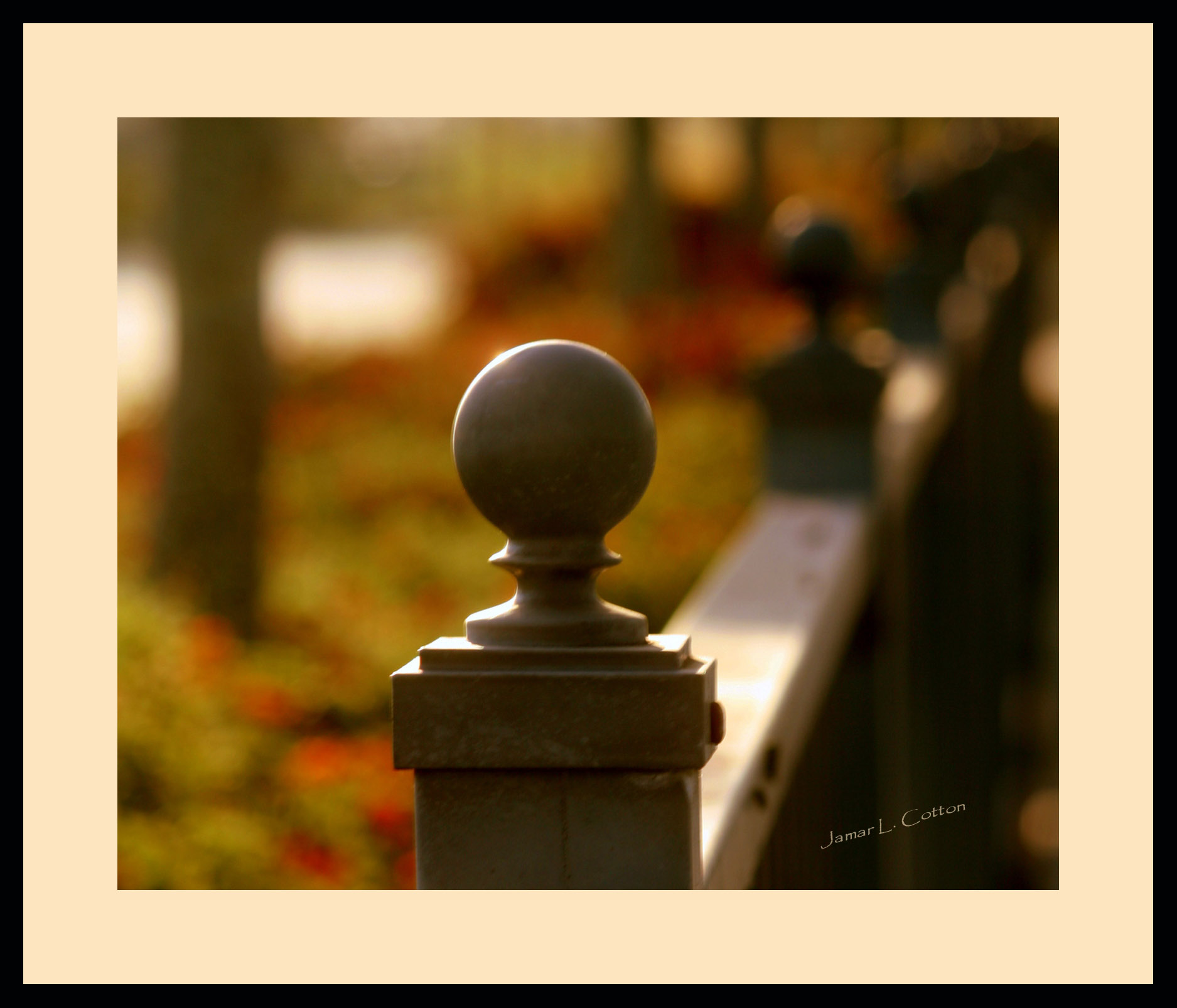
Fence Ornament
Telegraph Peak from Sugarloaf
Afternoon Haze, Suglarloaf Mountain
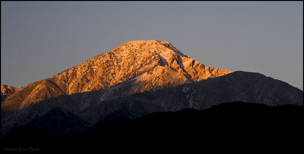
Last Rays on Cucamonga Peak

View to #bigbear lake from the slopes ⛄☀ #igerscalifornia #igersla
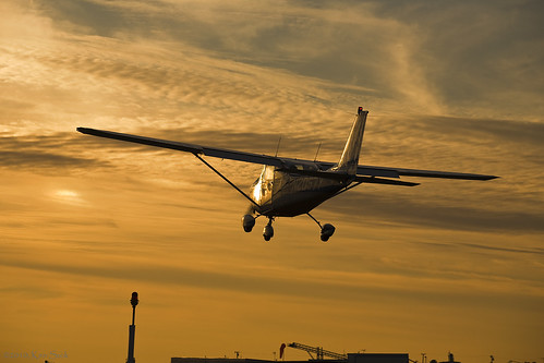
Cessna Glint
14,400

Office With a View

UP 8831

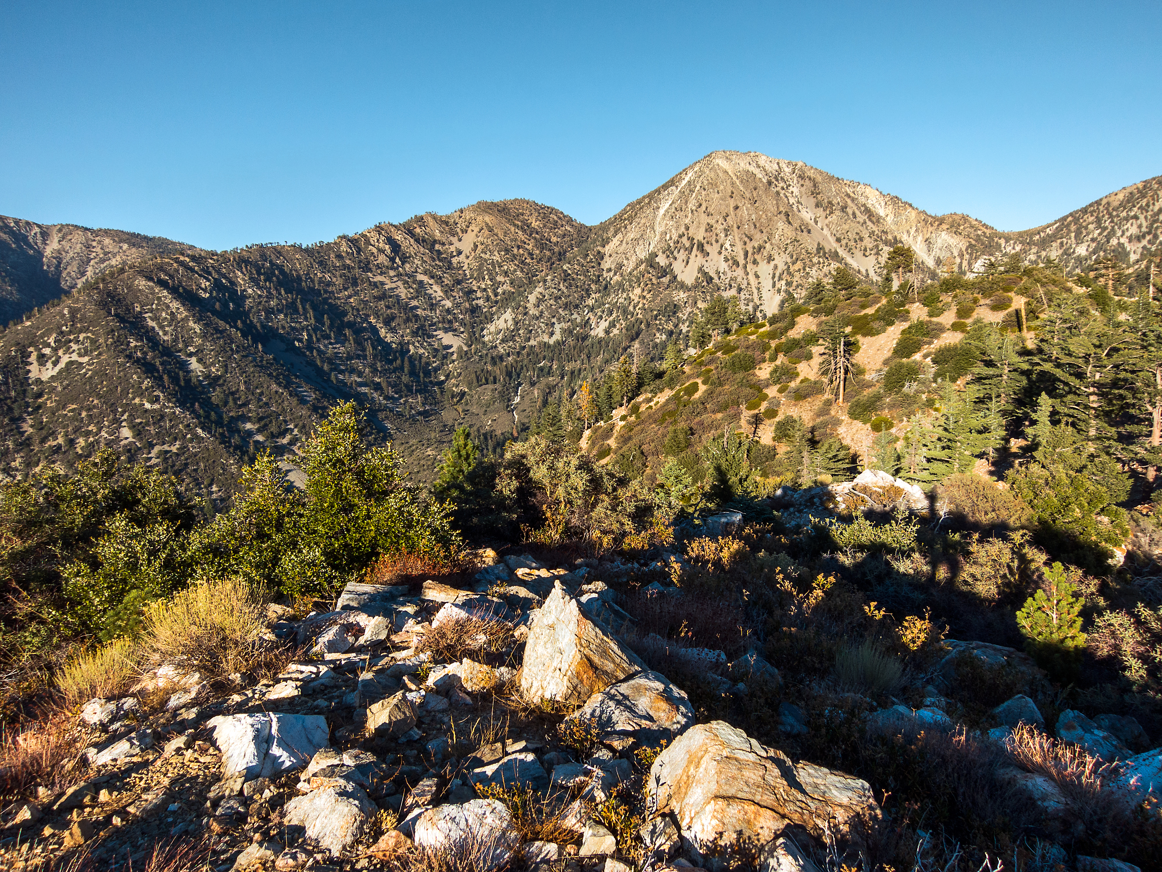
Mount Baldy, California.
Heaven Awaits Us

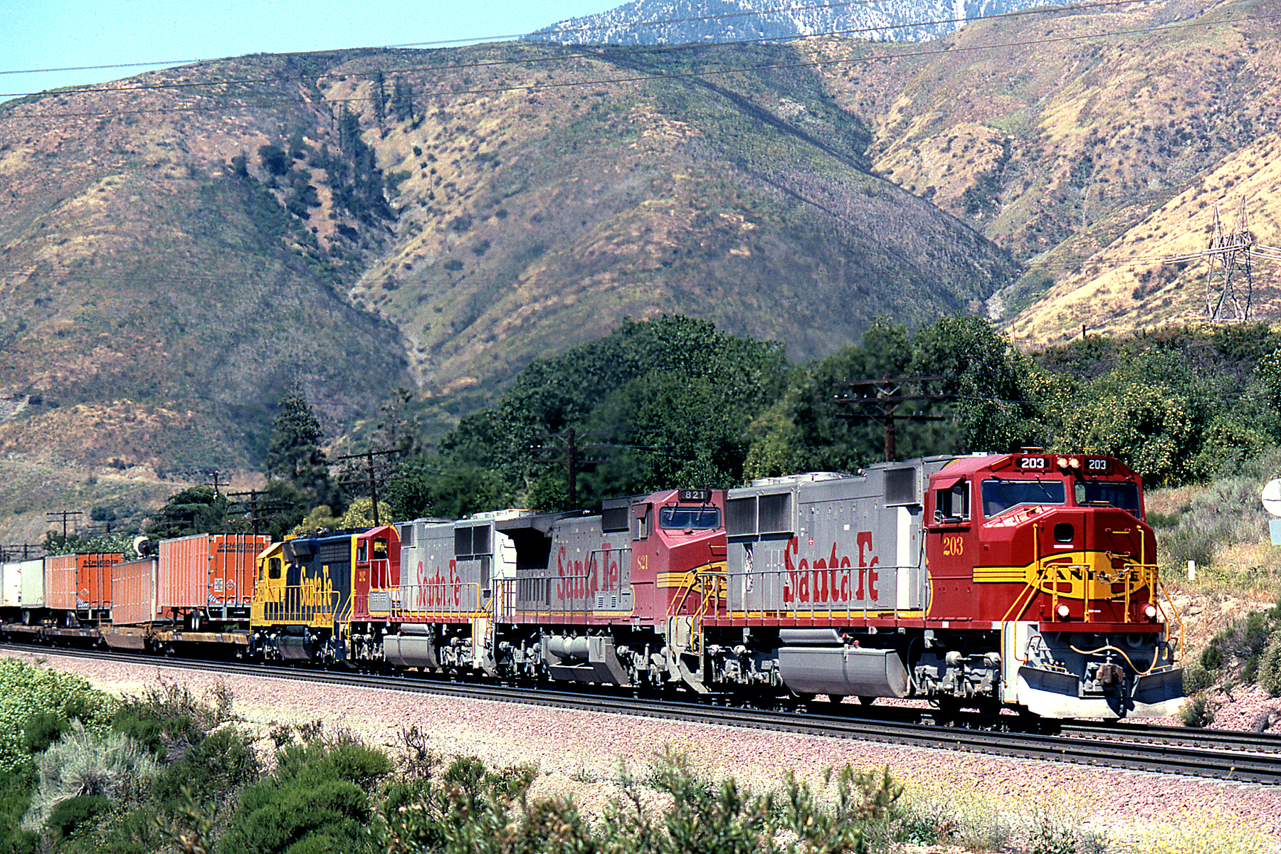
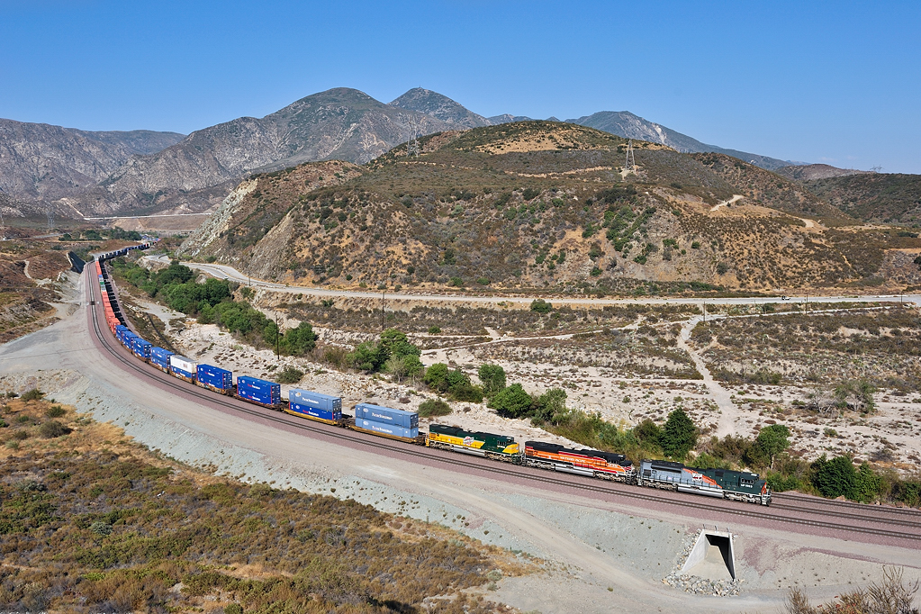
BNSF C44-9W 4180 Cajon Pass, CA
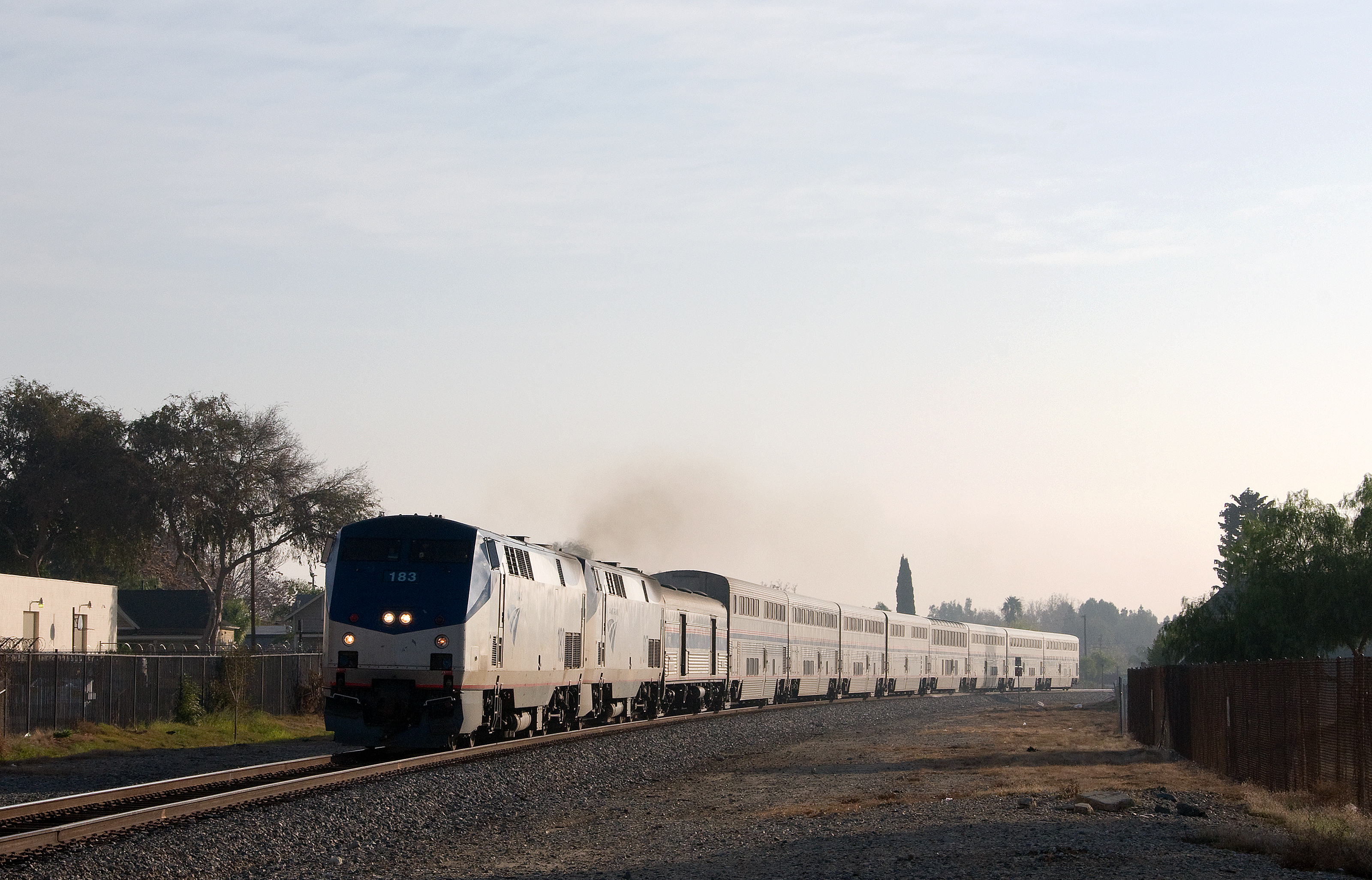
ATK Tr#3 in Cajon
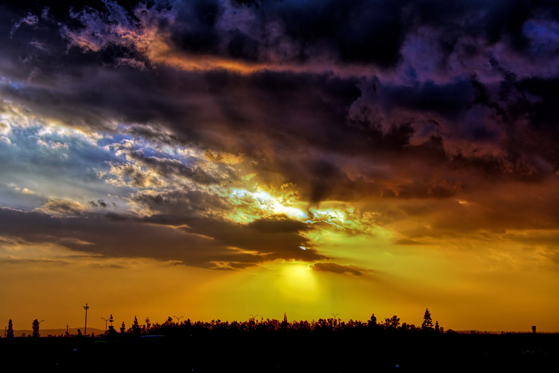
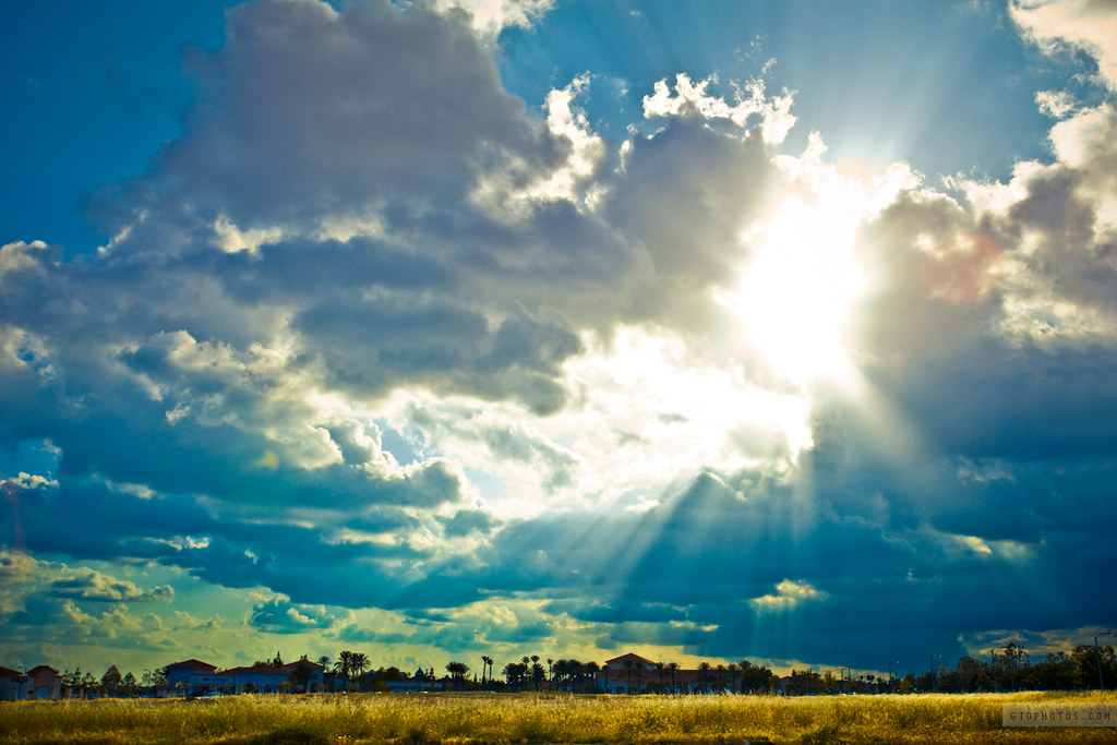
One Colorful Sunset
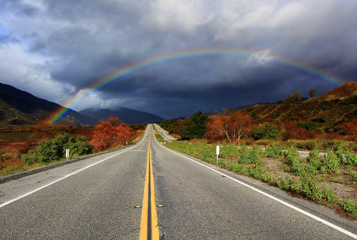
Rainbow over Historic Route 66
200 Class Revisited
2004 Westbound MoW train in Verdemont, from my collection.
The pipe
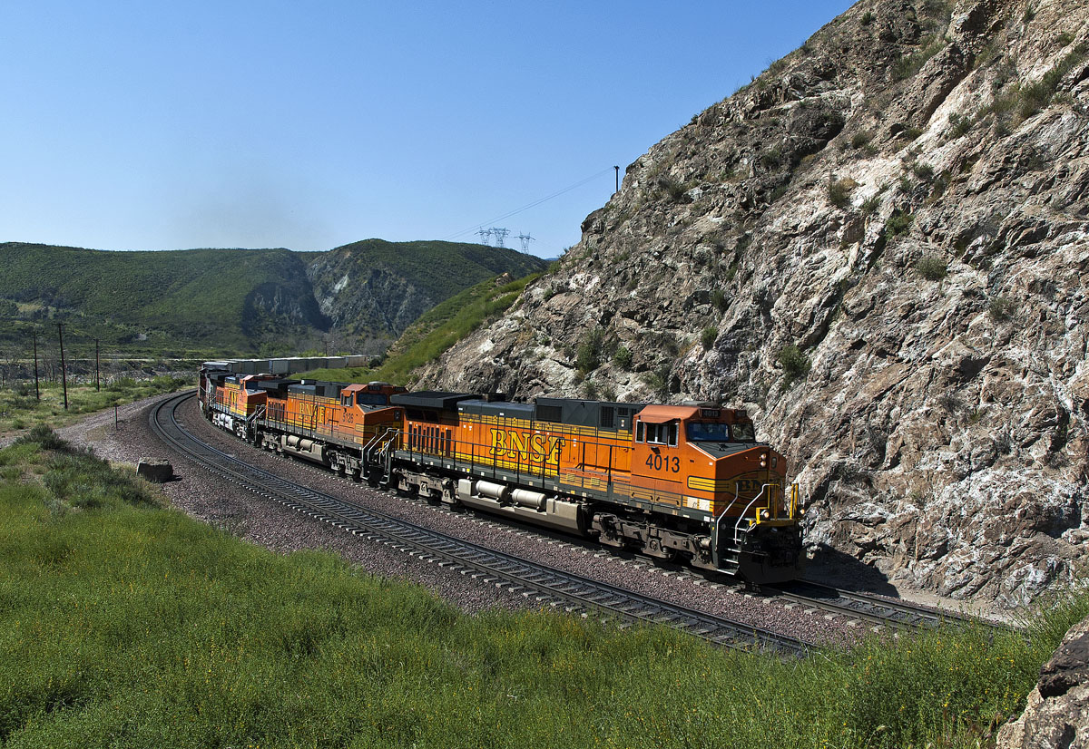
BNSF C44-9W 4013 Cajon Pass, CA
Heritage Trio

Interstate 15 Northbound Ontario Freeway Barstow - Las Vegas Nevada four left lanes approaches at EXIT 109 - Interstate 10 Freeway EAST San Bernardino / I-10 WEST Los Angeles two right lanes EXIT ONLY with these three overhead signs mounted on gantry

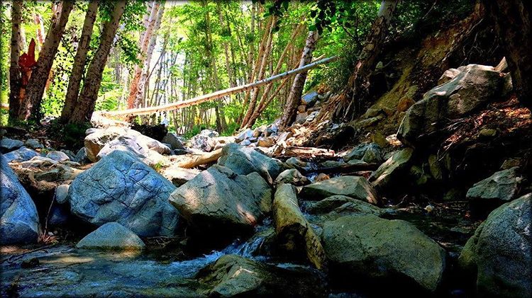
Ice House Canyon Rim
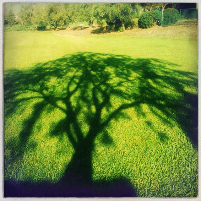
#Morning #tree #shadow at the #park
#goldenstate #california
Topographic Map of Rancho Cucamonga, CA, USA
Find elevation by address:

Places near Rancho Cucamonga, CA, USA:
14140 Henderson Dr
5077 Sepia Ct
12168 Chicory Ct
5420 Wrangler Dr
5365 Wrangler Dr
Etiwanda
Etiwanda Falls
4582 Creekside Ln
Hunter's Ridge
14892 Hillstone Ave
Mount Baldy Place
11719 Mt Cambridge Ct
13413 Huntington St
Summit Heights
Fontana, CA, USA
11202 Brown Dr
10922 Deer Canyon Dr
10849 Deer Canyon Dr
Sierra Lakes Pkwy, Fontana, CA, USA
Chaffey College
Recent Searches:
- Elevation of Erika Dr, Windsor, CA, USA
- Elevation of Village Ln, Finleyville, PA, USA
- Elevation of 24 Oakland Rd #, Scotland, ON N0E 1R0, Canada
- Elevation of Deep Gap Farm Rd E, Mill Spring, NC, USA
- Elevation of Dog Leg Dr, Minden, NV, USA
- Elevation of Dog Leg Dr, Minden, NV, USA
- Elevation of Kambingan Sa Pansol Atbp., Purok 7 Pansol, Candaba, Pampanga, Philippines
- Elevation of Pinewood Dr, New Bern, NC, USA
- Elevation of Mountain View, CA, USA
- Elevation of Foligno, Province of Perugia, Italy