Elevation of Rancho Bonito Cir, Petaluma, CA, USA
Location: United States > California > Sonoma County > Petaluma >
Longitude: -122.59641
Latitude: 38.2357689
Elevation: 12m / 39feet
Barometric Pressure: 101KPa
Elevation Map:
Satellite Map:
Related Photos:

Another Country View

Night Lake

Shady Trail - Jack London State Park

Petaluma Landscapes

Painted with Fog

Panning Mallards on Take Off Reflection Pano - A Fowl Day at Tolay Lake Regional Park

view from steve & courtney's

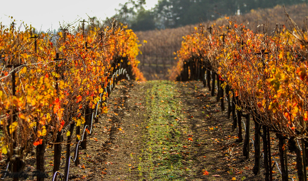
Sonoma Wine Country Vineyards

Port of Sonoma in Petaluma

Sonoma County sunday

view from gravity hill

Foggy Morning Fall Trees - Landscapes of Tolay Lake Regional Park

Focus on Structures and Architecture at Jack London State Historic Park

Reflections at Port of Sonoma - Petaluma

If you plant a tree in a house?....

Sunrise Yesterday Morning in Petaluma

Lone Tree Landscape - Deer Island Open Space Preserve

Sonoma Valley Regional Park

pinhole oaks

112/365 : blood

Vineyards surrounding Jack London State Historic Park

Mustard, Vines and Trees

cow paths at dusk

Petaluma Hills
Jack London State Historic Park

Mallard Pond - A Fowl Day at Tolay Lake Regional Park

Sonoma Valley Regional Park & Lake Suttonfield

The Pond...

Morning Light

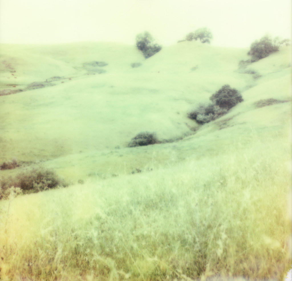
Hills Of Petaluma

hill & cows

more green-and-fog, from this morning's commute
sonoma mtn

looking back up at Sonoma Mtn

Hills Of Petaluma

Light and Shadow

hill and sky

roadside grass
Topographic Map of Rancho Bonito Cir, Petaluma, CA, USA
Find elevation by address:

Places near Rancho Bonito Cir, Petaluma, CA, USA:
2177 St Augustine Cir
Petaluma Blvd S, Petaluma, CA, USA
513 Ely Blvd S
416 Eastwood Dr
124 Mcnear Cir
830 Middlefield Dr
315 K St
2450 E Washington St
Payran Street
208 Wishkah Ln
Edith Street Senior Apartments
E St, Petaluma, CA, USA
102 Grevillia Dr
717 Madison St
Petaluma
426 Brittania Ct
101 Vista View Pl
16 E Washington St
120 8th St
Kentucky Street
Recent Searches:
- Elevation of Shibuya Scramble Crossing, 21 Udagawacho, Shibuya City, Tokyo -, Japan
- Elevation of Jadagoniai, Kaunas District Municipality, Lithuania
- Elevation of Pagonija rock, Kranto 7-oji g. 8"N, Kaunas, Lithuania
- Elevation of Co Rd 87, Jamestown, CO, USA
- Elevation of Tenjo, Cundinamarca, Colombia
- Elevation of Côte-des-Neiges, Montreal, QC H4A 3J6, Canada
- Elevation of Bobcat Dr, Helena, MT, USA
- Elevation of Zu den Ihlowbergen, Althüttendorf, Germany
- Elevation of Badaber, Peshawar, Khyber Pakhtunkhwa, Pakistan
- Elevation of SE Heron Loop, Lincoln City, OR, USA