Elevation of Petaluma Blvd S, Petaluma, CA, USA
Location: United States > California > Sonoma County > Petaluma >
Longitude: -122.60848
Latitude: 38.223005
Elevation: 4m / 13feet
Barometric Pressure: 101KPa
Elevation Map:
Satellite Map:
Related Photos:
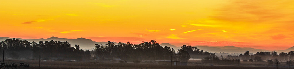
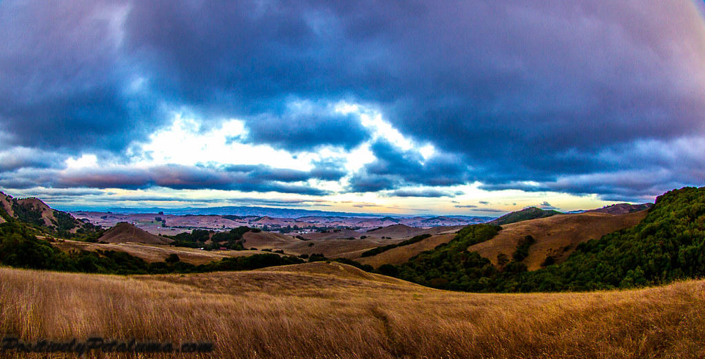
Sunrise Yesterday Morning in Petaluma

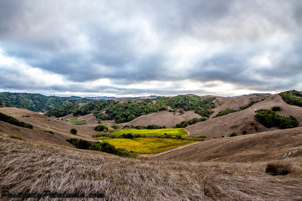
Another Country View
Port of Sonoma in Petaluma

Reflections at Port of Sonoma - Petaluma
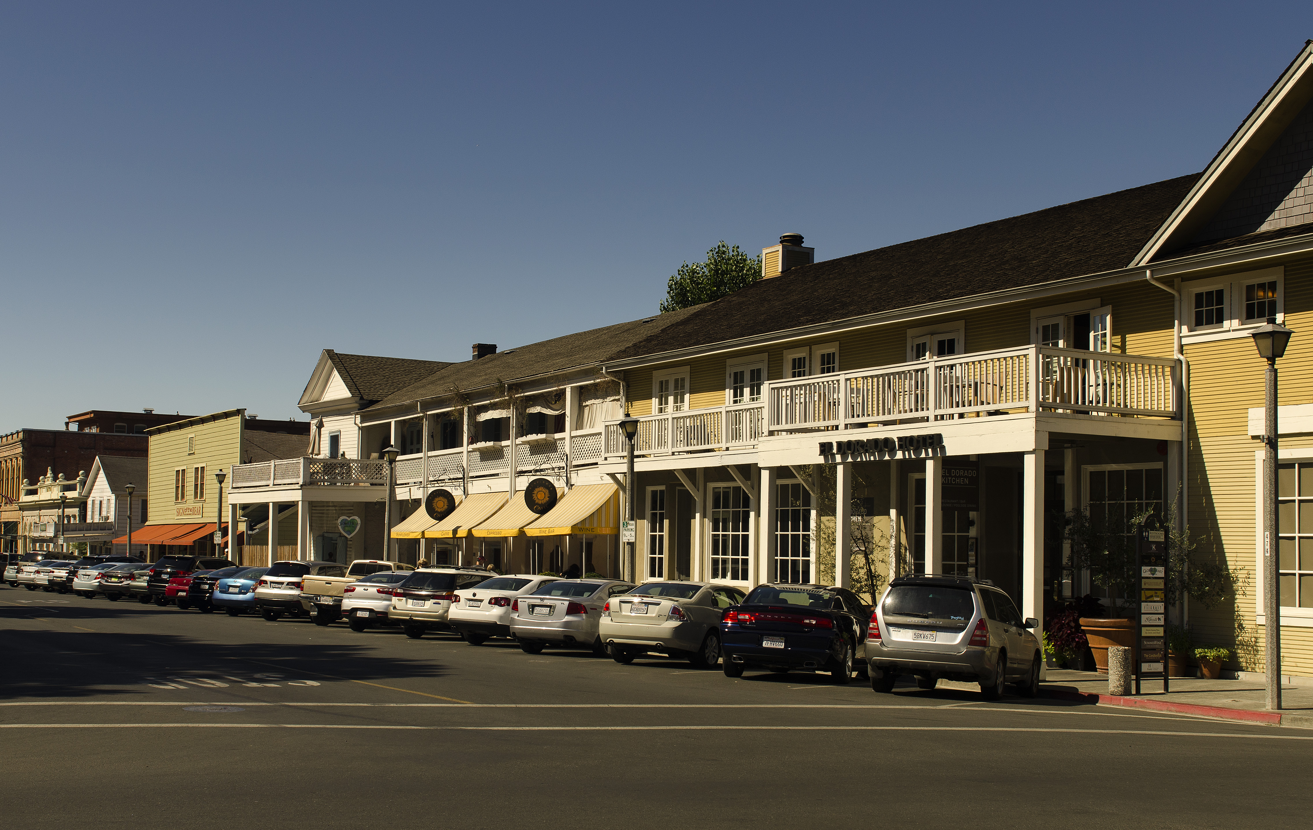
El Dorado Hotel - Sonoma
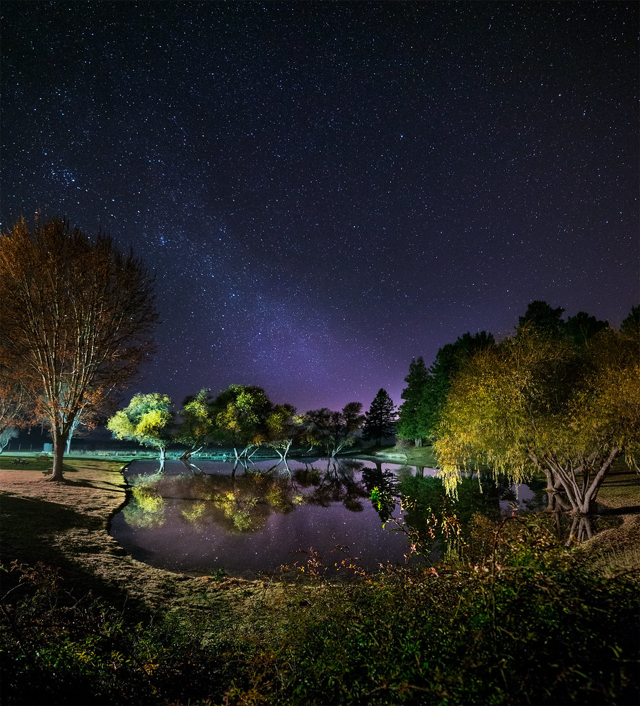
Night Lake

view from gravity hill
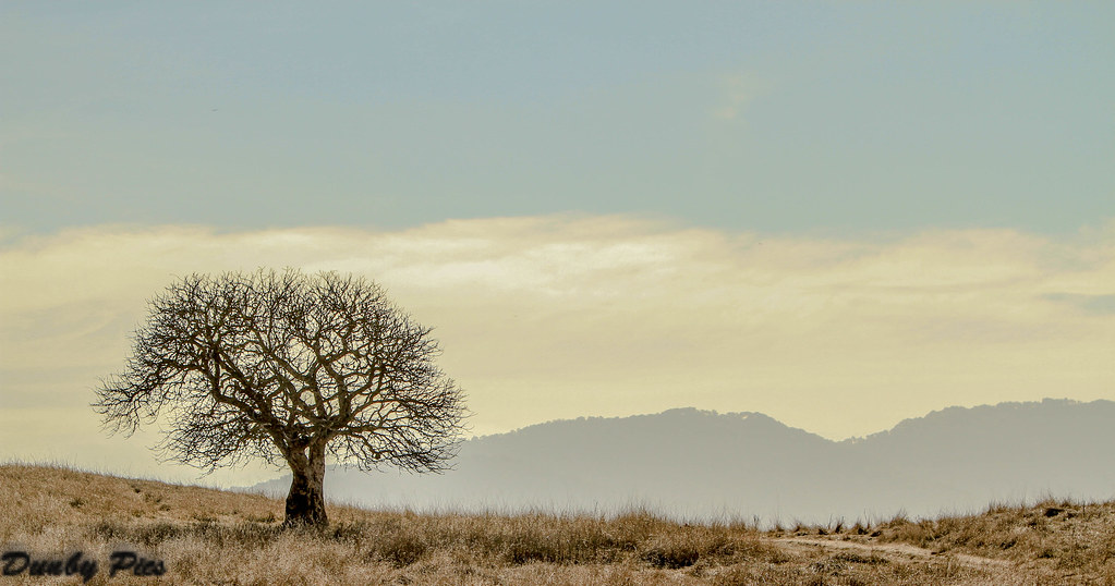
Lone Tree Landscape - Deer Island Open Space Preserve
If you plant a tree in a house?....
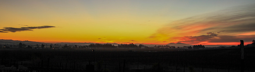
Sunrise Yesterday Morning in Petaluma

2014 Petaluma Lighted Boat Parade

Scenery on My Drive Home From Work
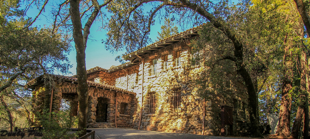
House of Happy Walls - Jack London State Historic Park
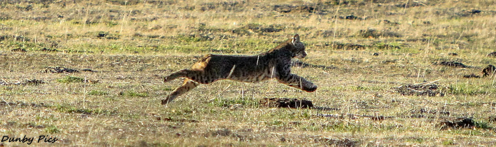
Rare Bobcat Pics at Petaluma-Marshall Road

Rare Bobcat Pics at Petaluma-Marshall Road

Bird Silhouette - Deer Island Open Space Preserve
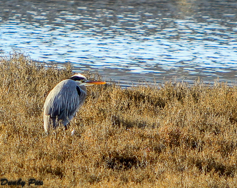
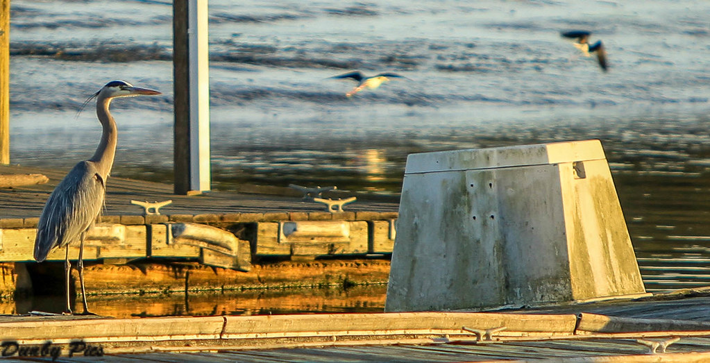
Grey Heron at Rush Creek Open Space

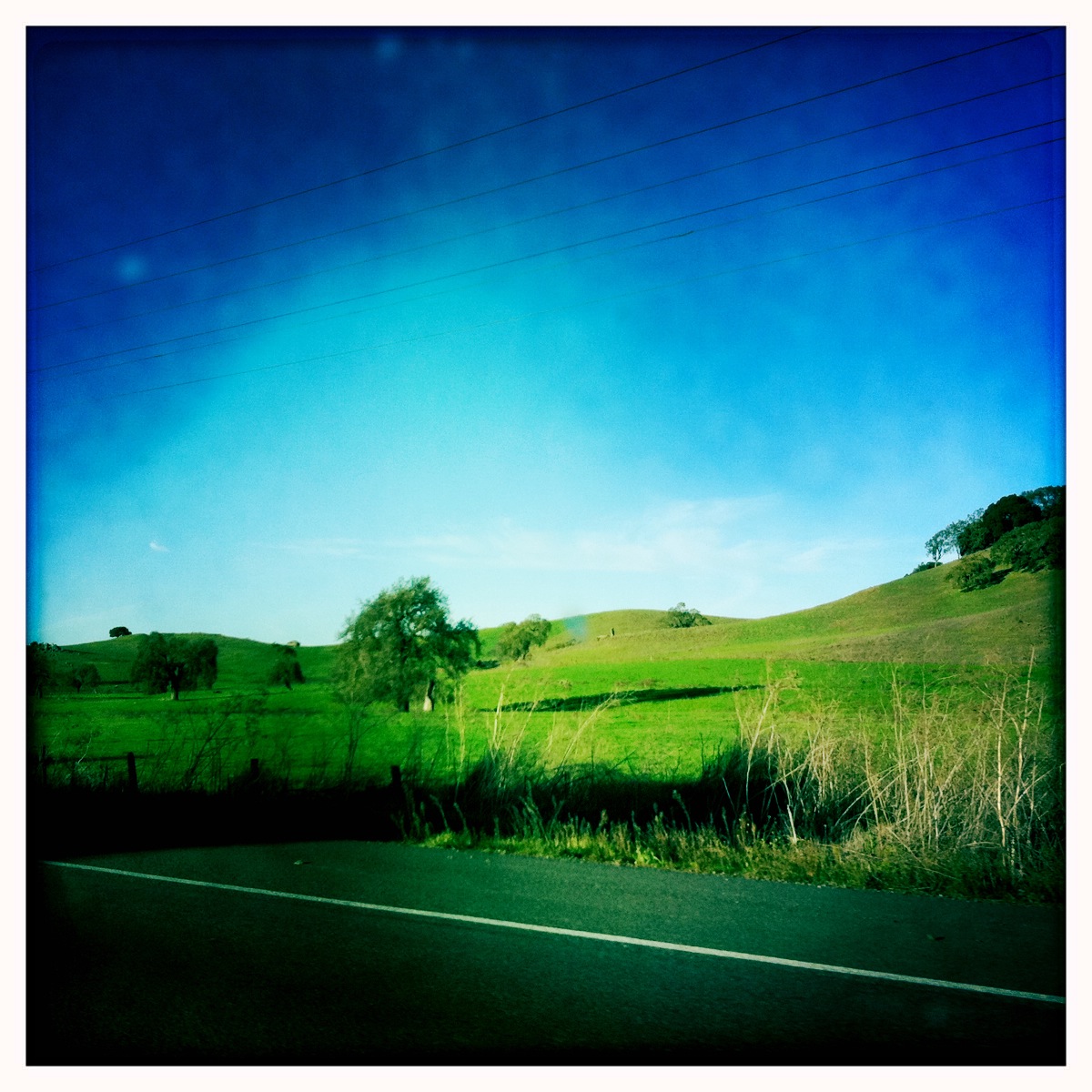
A Country View

Focus on Structures and Architecture at Jack London State Historic Park
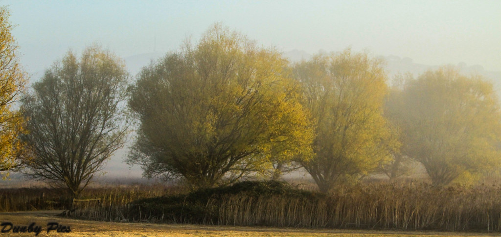
Foggy Morning Fall Trees - Landscapes of Tolay Lake Regional Park
Fern Lake - Jack London State Park

perfectly-shaped tree
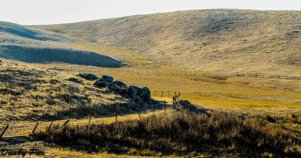
Hills Of Petaluma

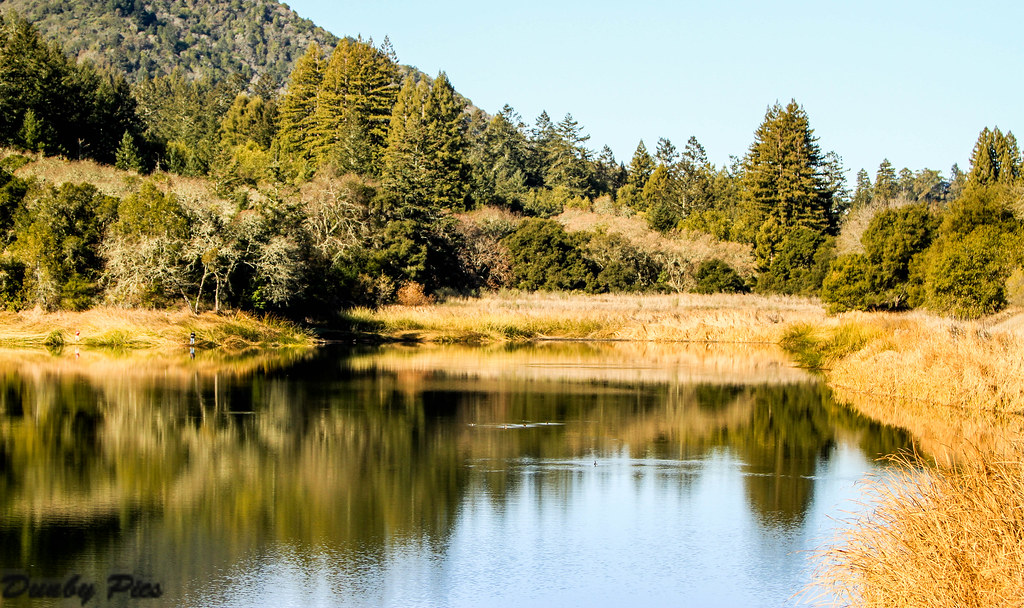
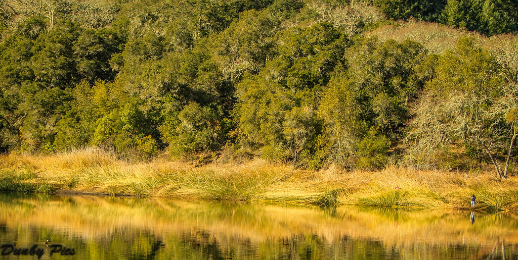
The Pond...
Hills Of Petaluma

Valley of Dreams

hill and sky
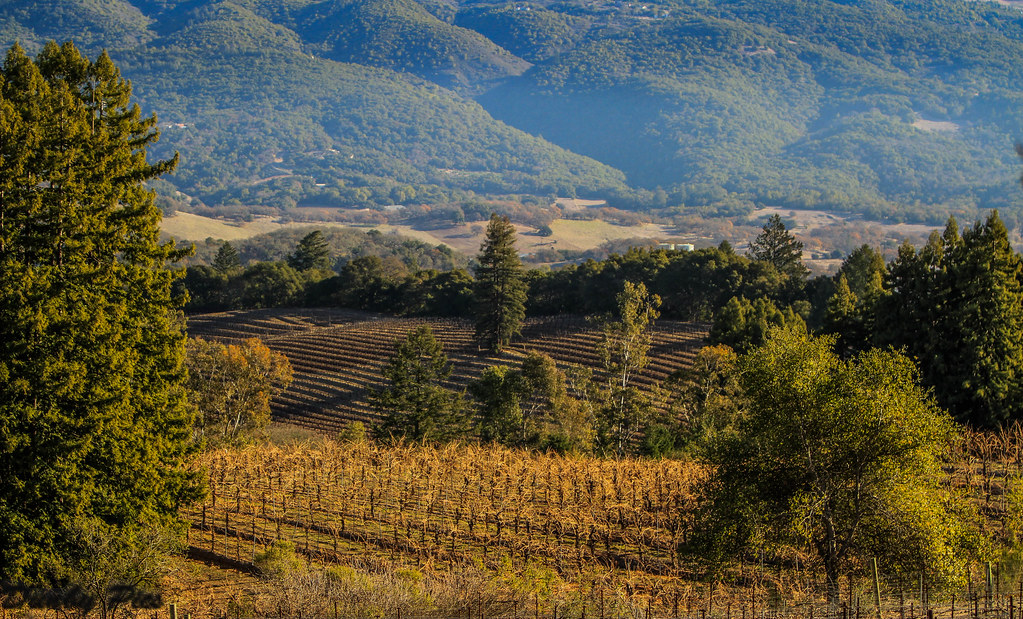
Vineyards surrounding Jack London State Historic Park

Black Bird Flight in Fog - A Mixed Bag of Fowl at Tolay Lake Regional Park

grassland sunset
Keller Estate Winery

335/365 : landscape

A Poet's Tree - Study Number 2
Historic Ranch Road and Meadows - Landscapes of Tolay Lake Regional Park

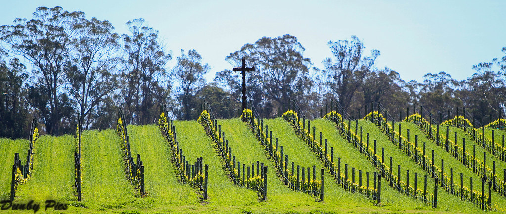
Mustard Grass Landscapes - Petaluma Farmland
Reflection - My Focus on Fern Lake at Jack London State Historic Park

This is yahoo's weather photo for Novato, can u believe it?
HIP_312420879.892789
Topographic Map of Petaluma Blvd S, Petaluma, CA, USA
Find elevation by address:

Places near Petaluma Blvd S, Petaluma, CA, USA:
124 Mcnear Cir
830 Middlefield Dr
105 Rancho Bonito Cir
315 K St
102 Grevillia Dr
101 Vista View Pl
E St, Petaluma, CA, USA
Payran Street
Petaluma
2177 St Augustine Cir
513 Ely Blvd S
Edith Street Senior Apartments
120 8th St
416 Eastwood Dr
16 E Washington St
717 Madison St
1000 B St
112 Fair St
Kentucky Street
208 Wishkah Ln
Recent Searches:
- Elevation of Slanický ostrov, 01 Námestovo, Slovakia
- Elevation of Spaceport America, Co Rd A, Truth or Consequences, NM, USA
- Elevation of Warwick, RI, USA
- Elevation of Fern Rd, Whitmore, CA, USA
- Elevation of 62 Abbey St, Marshfield, MA, USA
- Elevation of Fernwood, Bradenton, FL, USA
- Elevation of Felindre, Swansea SA5 7LU, UK
- Elevation of Leyte Industrial Development Estate, Isabel, Leyte, Philippines
- Elevation of W Granada St, Tampa, FL, USA
- Elevation of Pykes Down, Ivybridge PL21 0BY, UK