Elevation of Rancheria Creek Rd, Midpines, CA, USA
Location: United States > California > Mariposa County > Midpines >
Longitude: -119.96974
Latitude: 37.577245
Elevation: 830m / 2723feet
Barometric Pressure: 92KPa
Elevation Map:
Satellite Map:
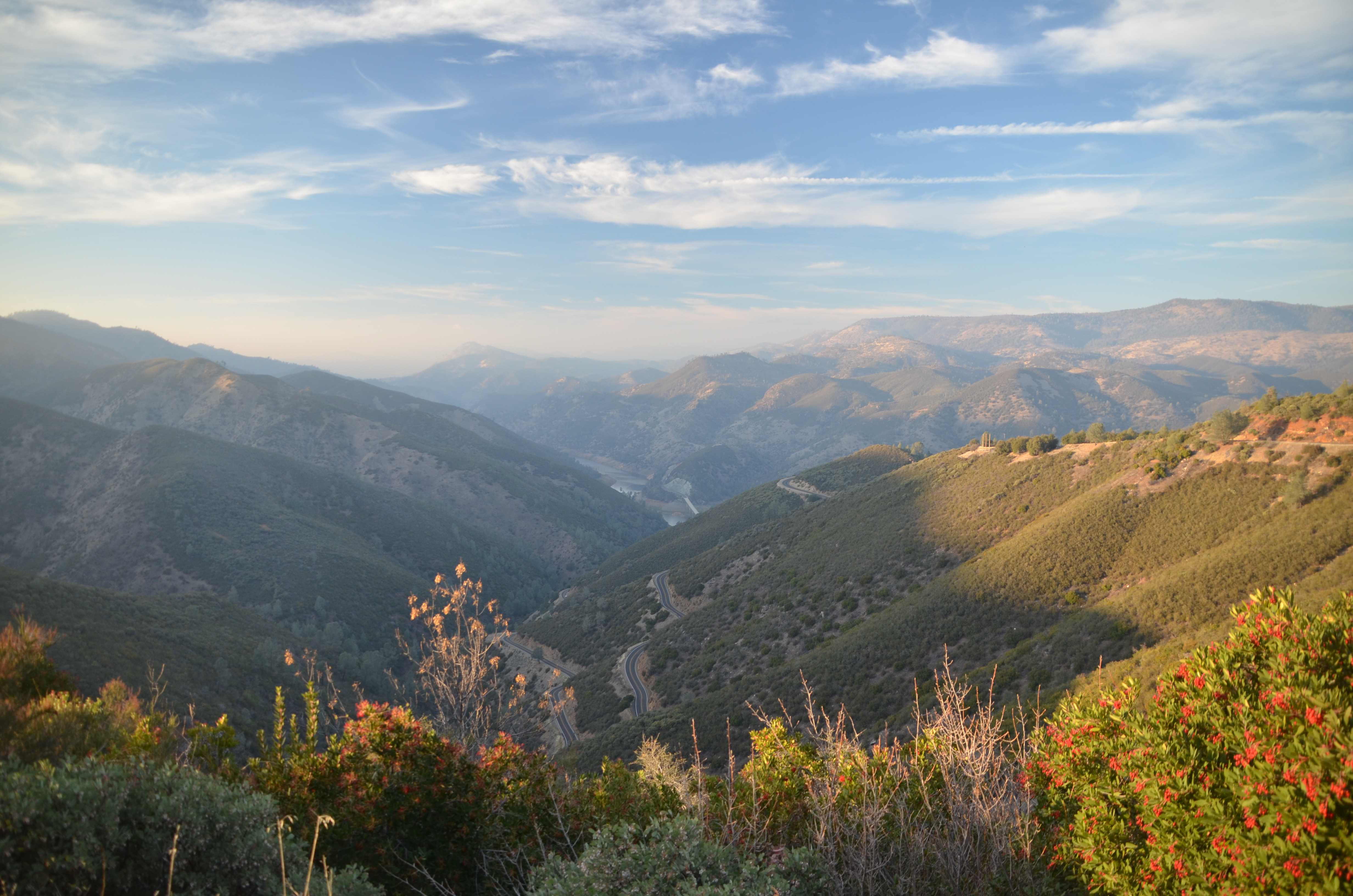
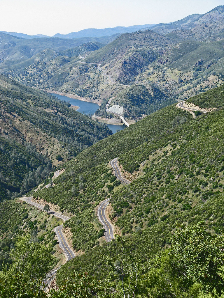
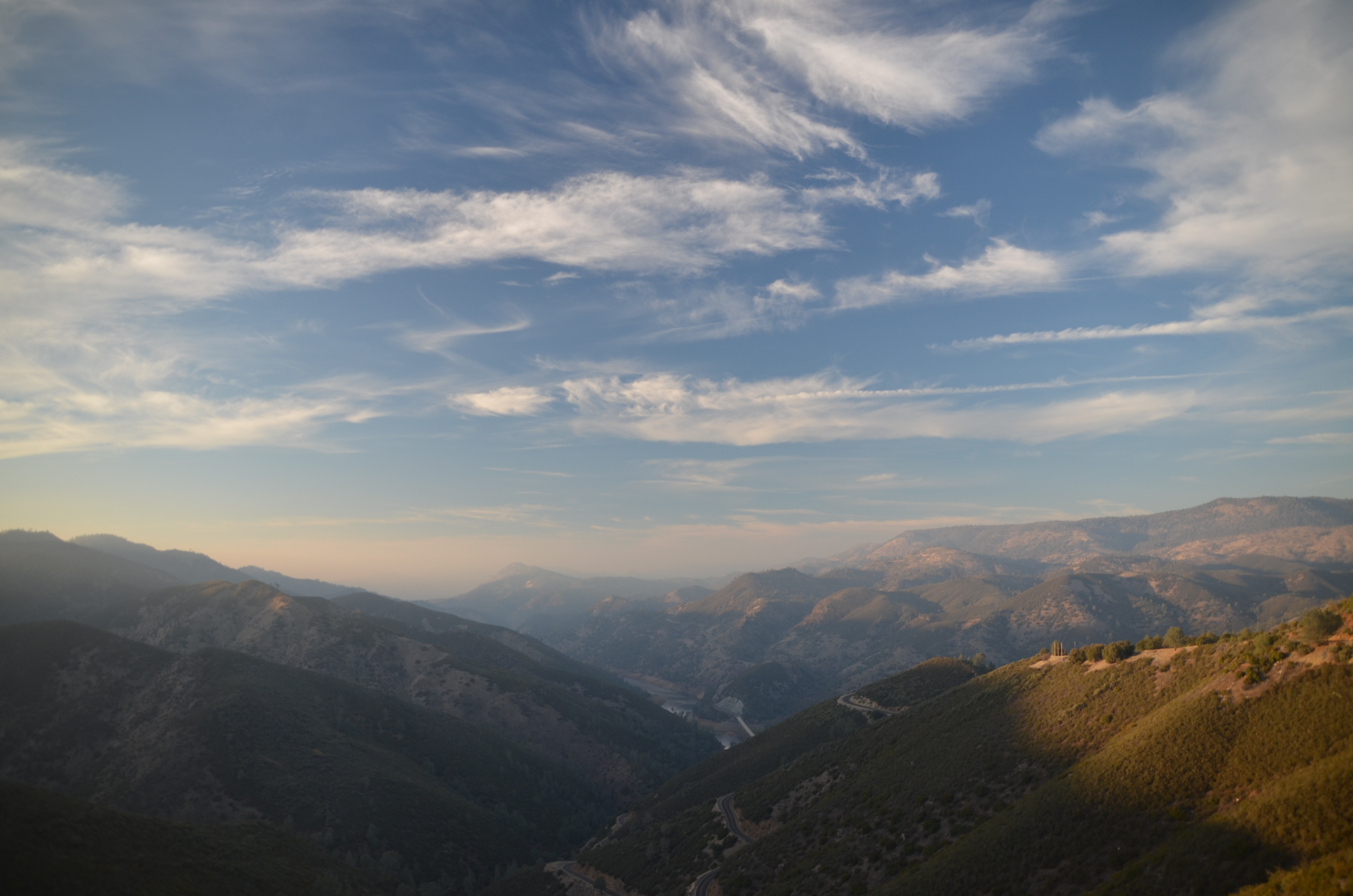
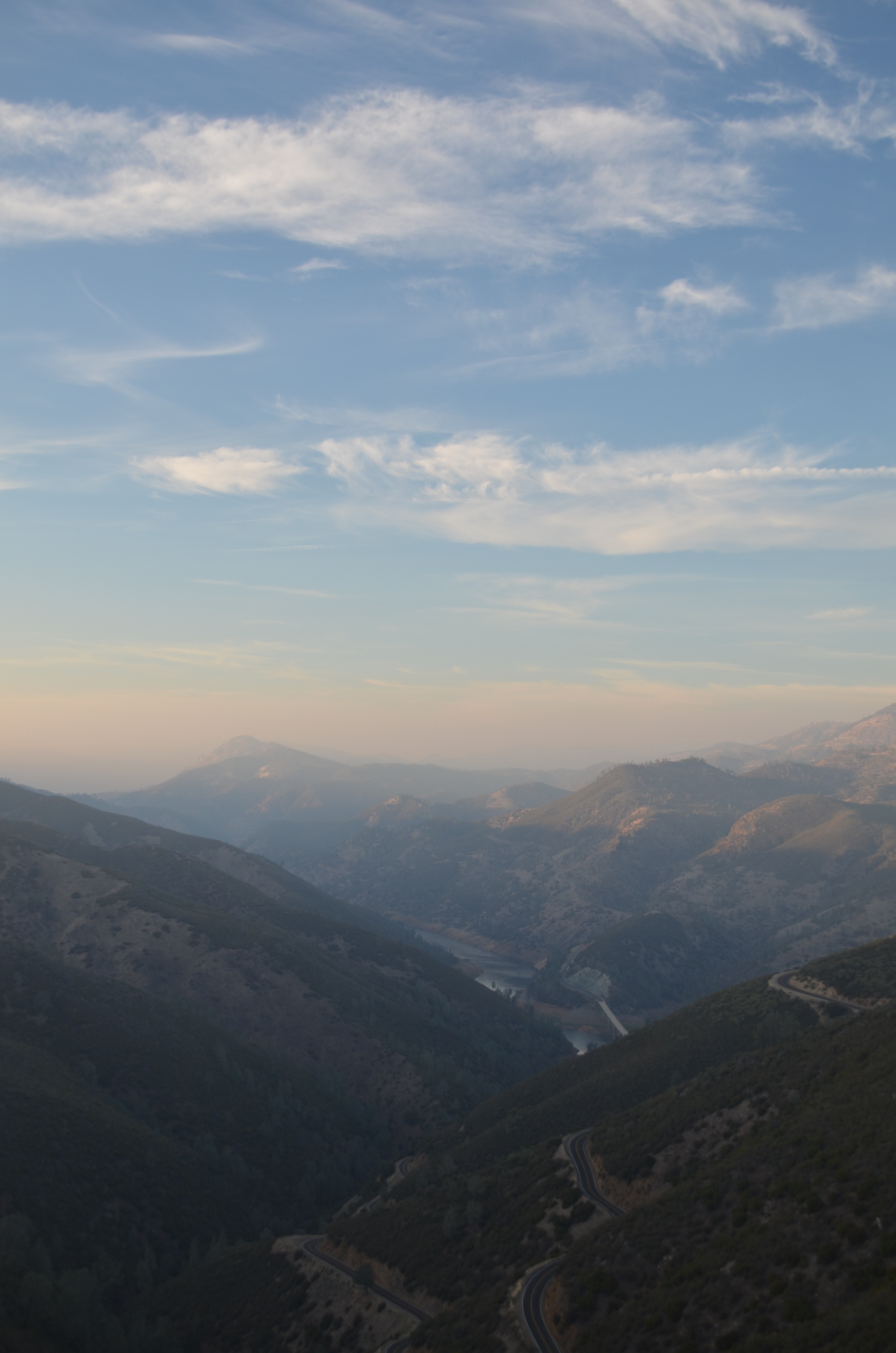
Related Photos:
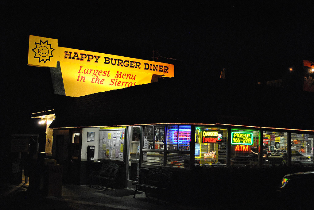
Largest Menu in the Sierra

Trip to Yosemite 118

Trip to Yosemite 132
Five stars, would drive again
Trip to Yosemite 123
Trip to Yosemite 128

Trip to Yosemite 119
Trip to Yosemite 124

Trip to Yosemite 122
The View from Fremont's Fort: Along State Highway 49, California (CA)
Trip to Yosemite 127
Trip to Yosemite 126
Sierra Foothills, New Year 2009

Taken from Tunnel View
a1979-08-03
A man paints with his brains and not with his hands…
Bad weather always looks worse through a window…
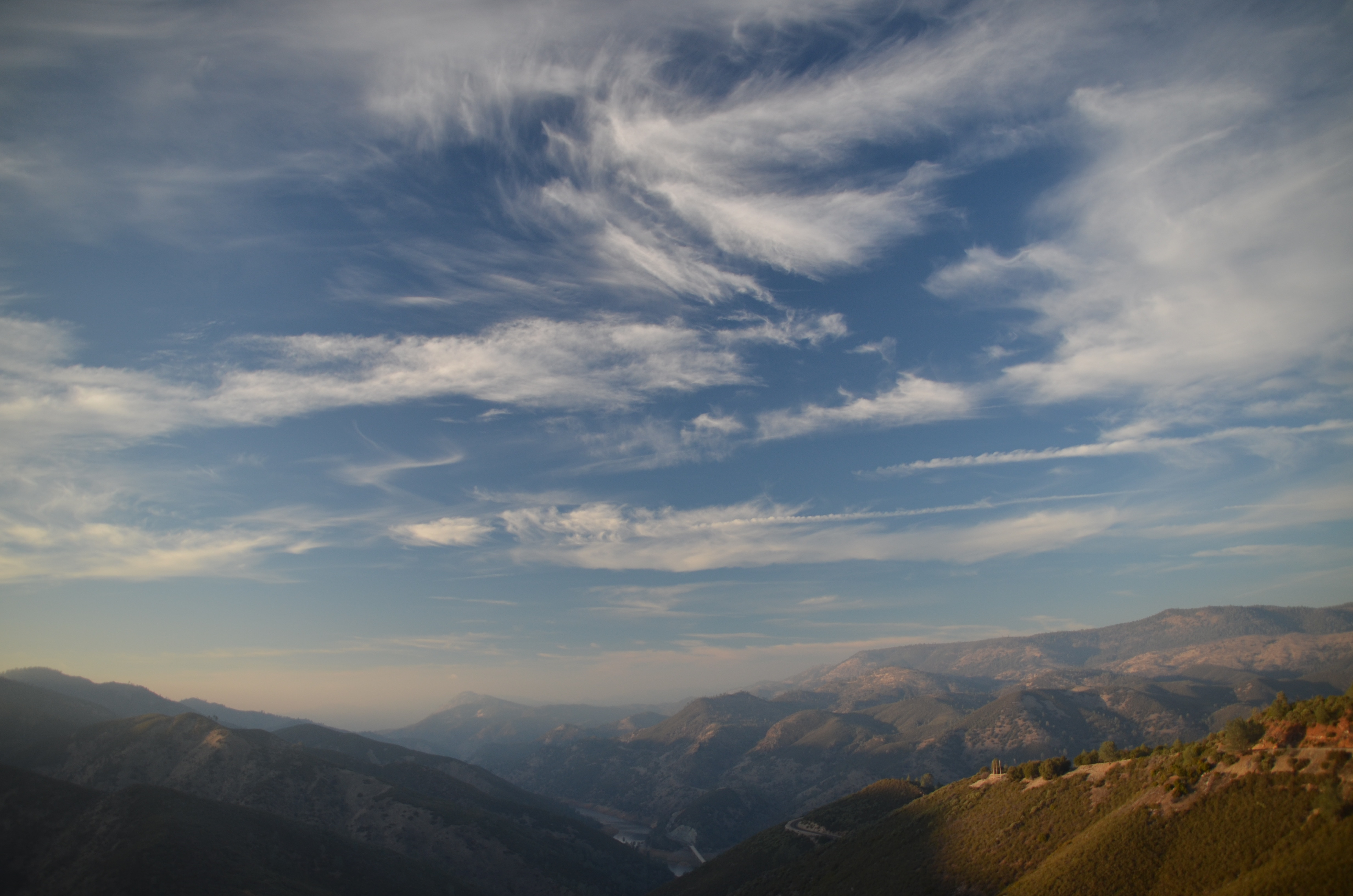
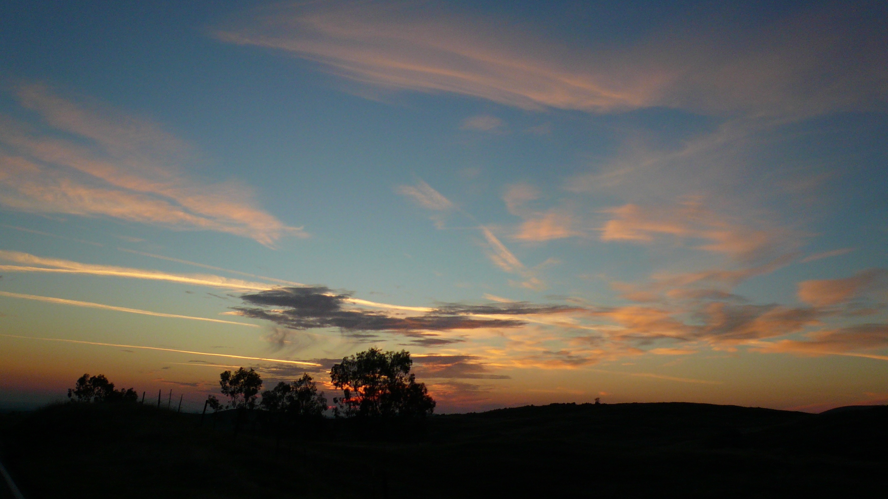
Ominous Sky
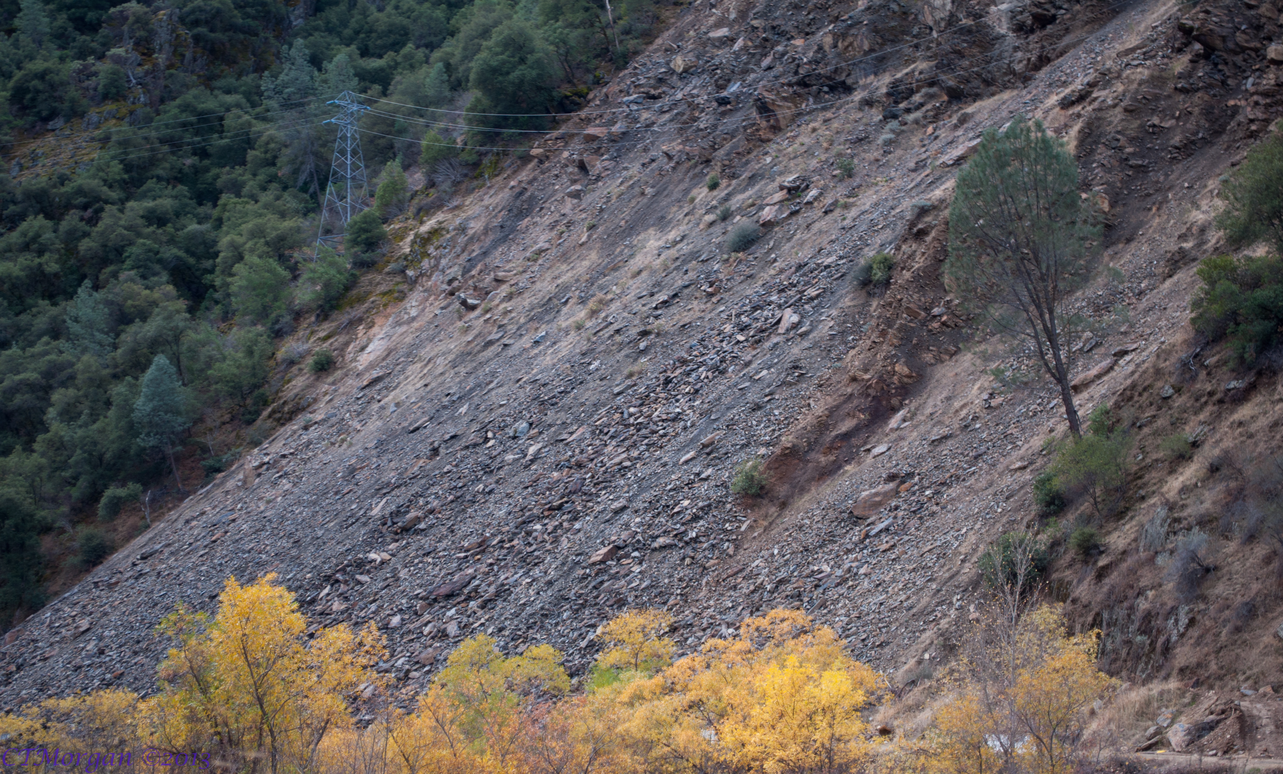
Carstens Fire, Mariposa County, CA

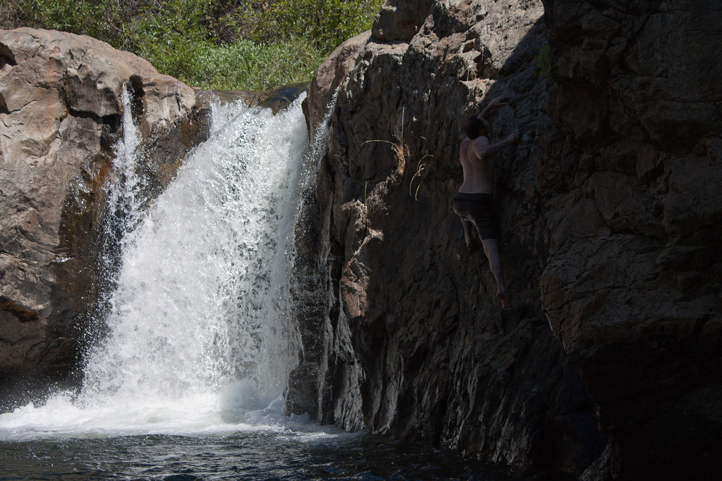
Cruising for Burgers
View from balcony 1
The Covered Bridge at Bridgeport
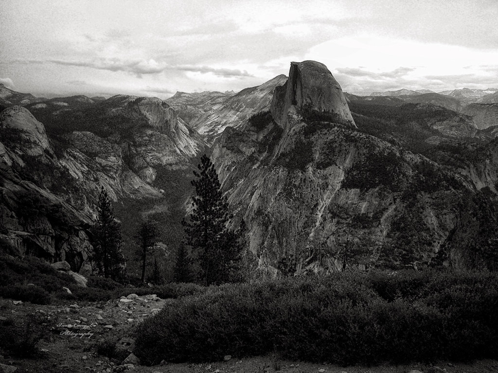
Half Dome, Yosemite National Park, California, USA
Yosemite &Sacramento
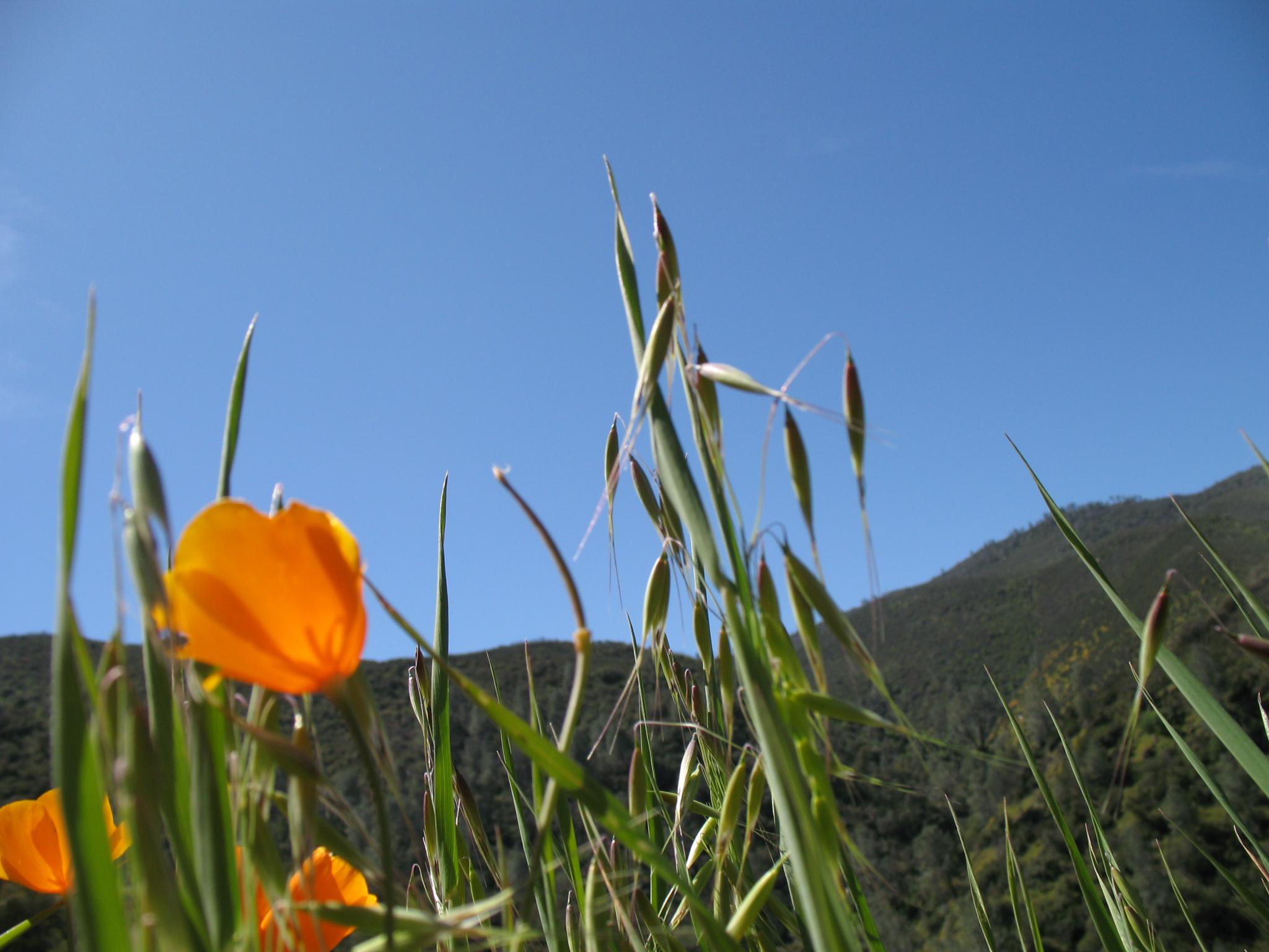
California Poppies
I'll paint a better picture of the woods with you in it.

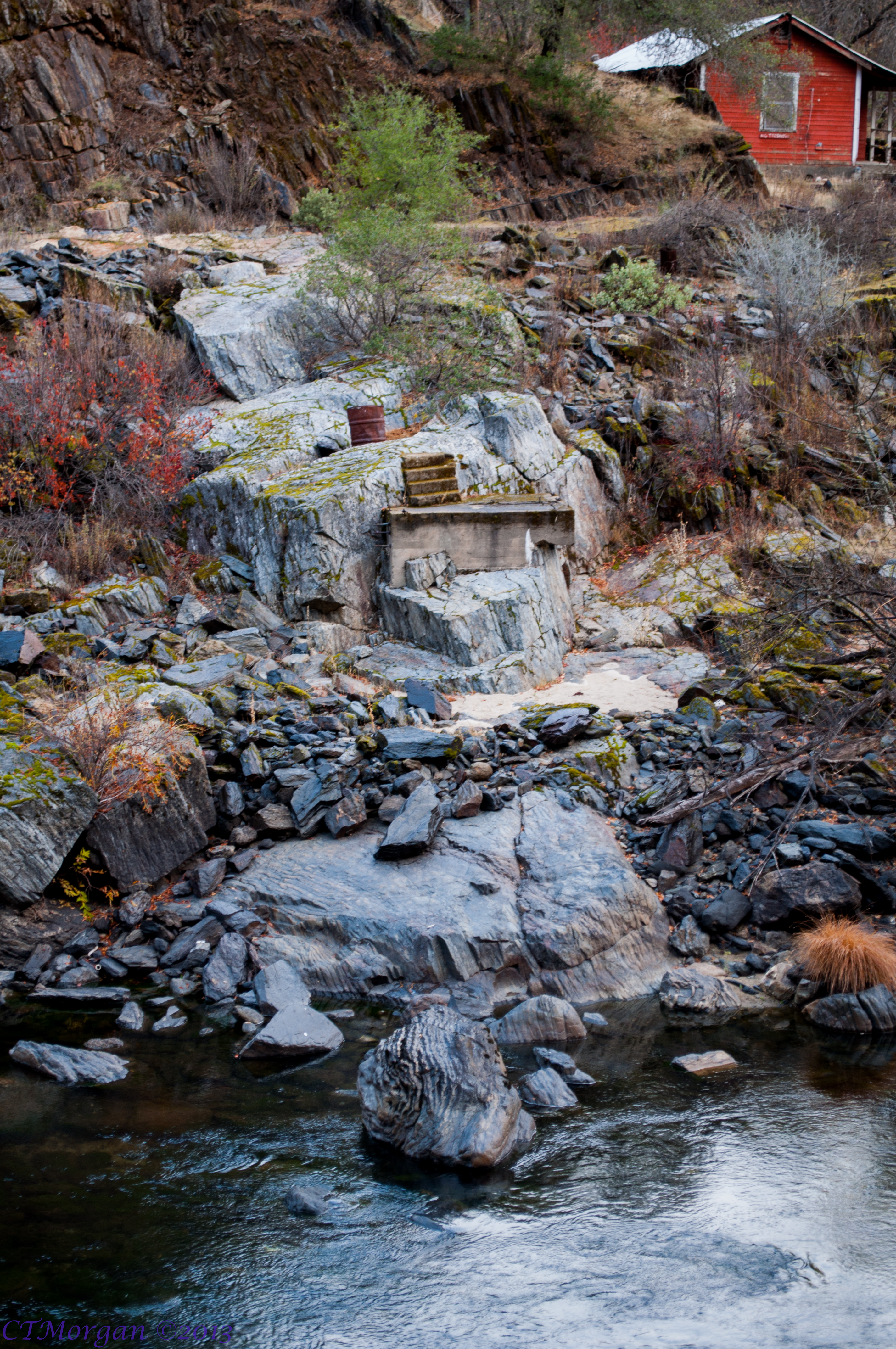
Merced River
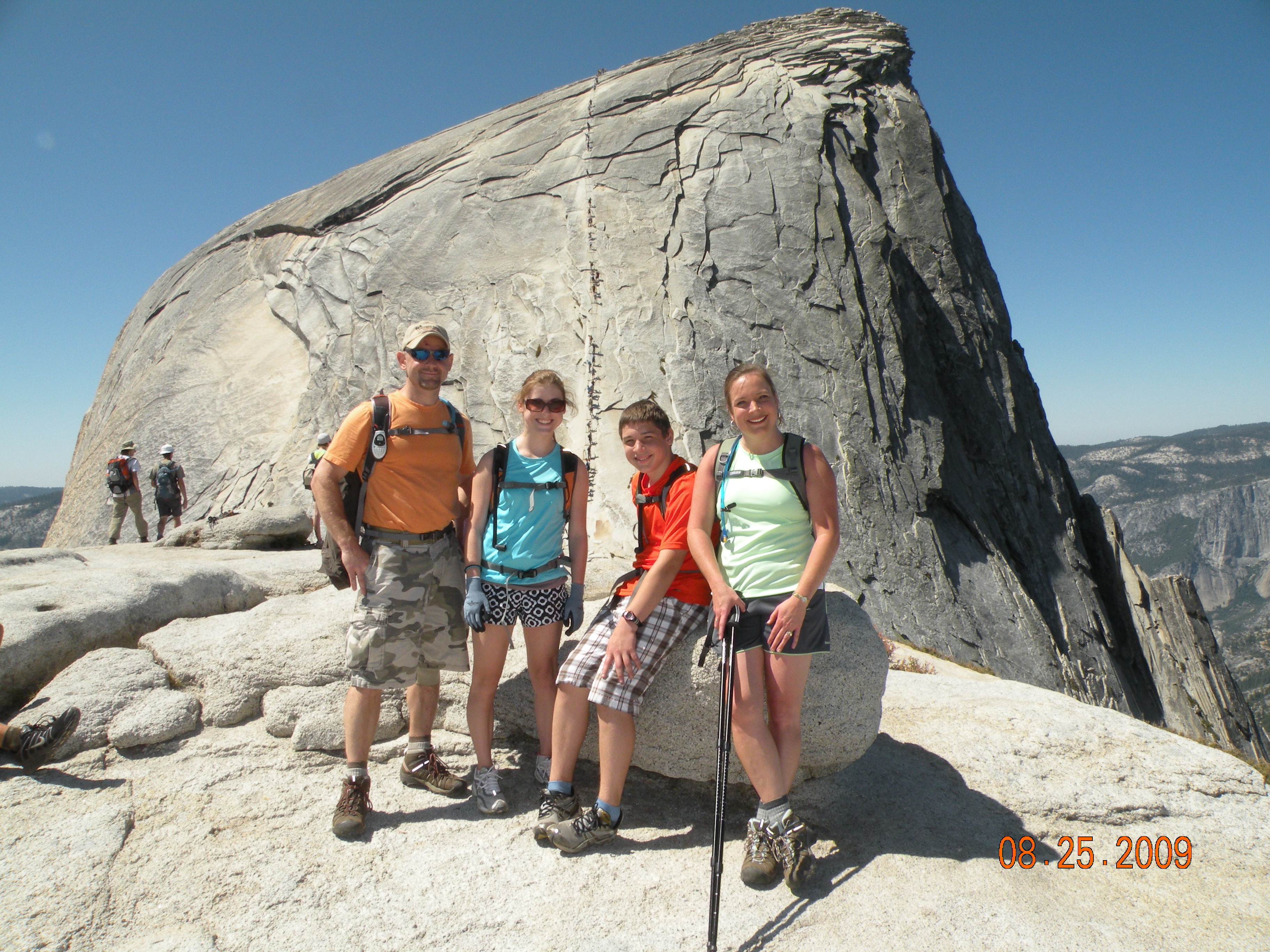
Half Dome in Yosemite National Park
Sierra Foothills, New Year 2009

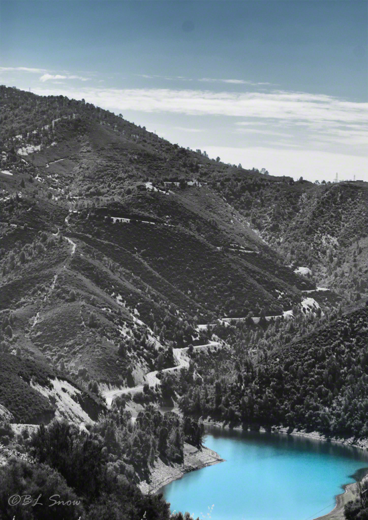
Tenaya Lake
20131126 015.jpg
2009 Cali Road Trip - 130

Surrounded by Poppies

20130316-IMG_9847
_MG_7359.jpg
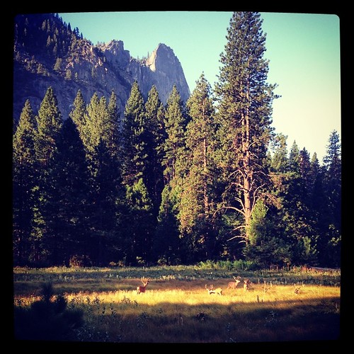
I was treated to a herd of mule deer hanging out this morning in Yosemite.
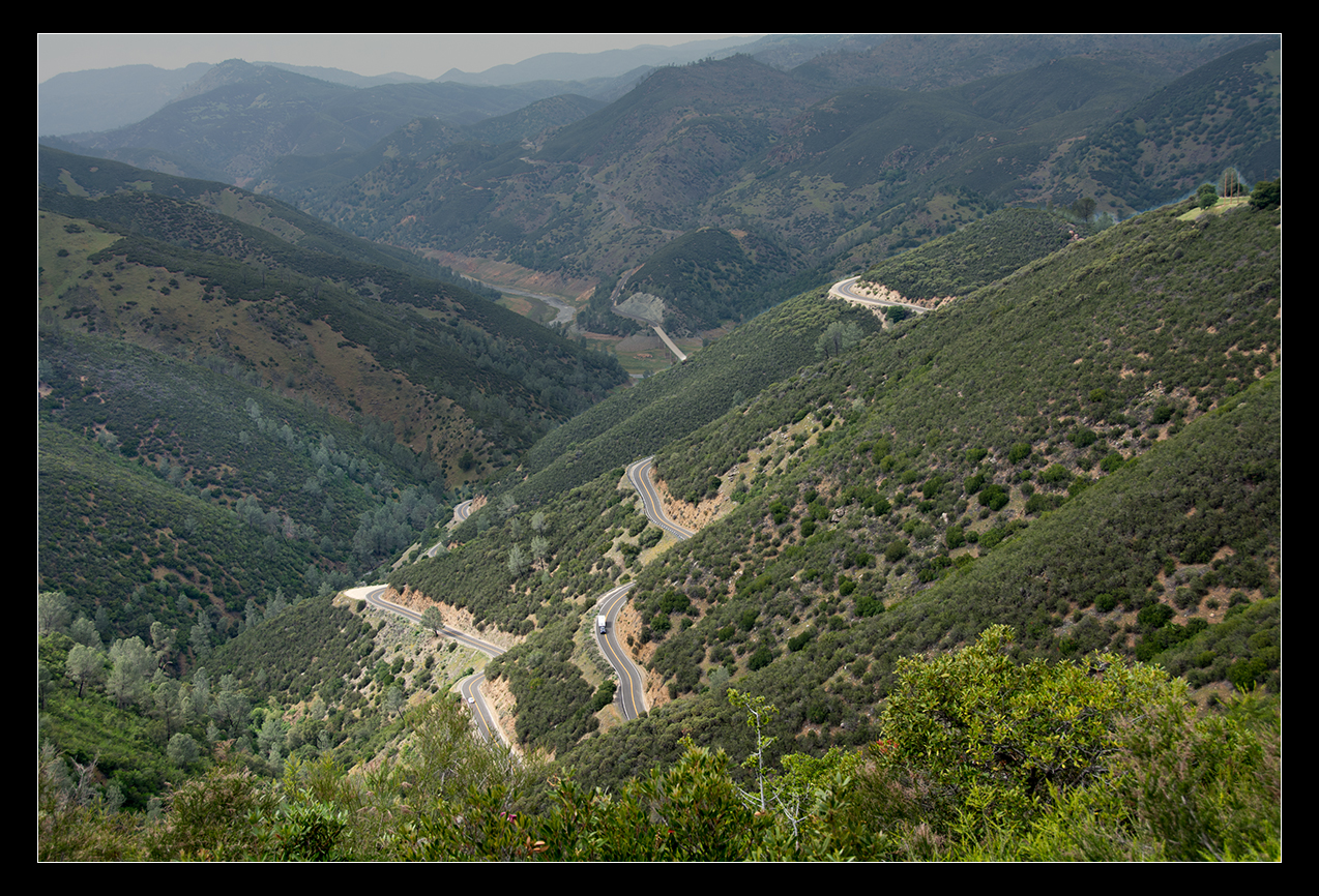
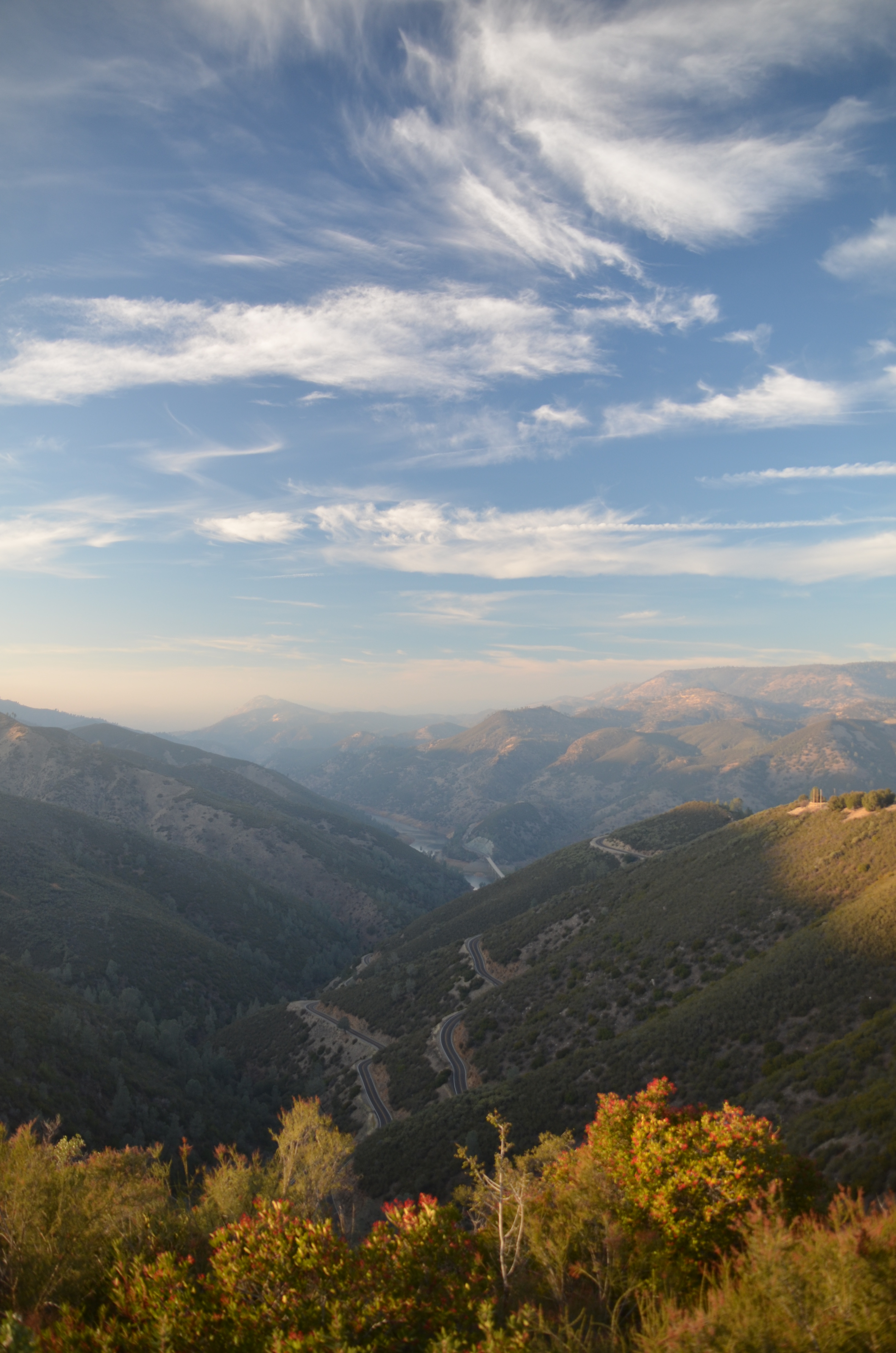
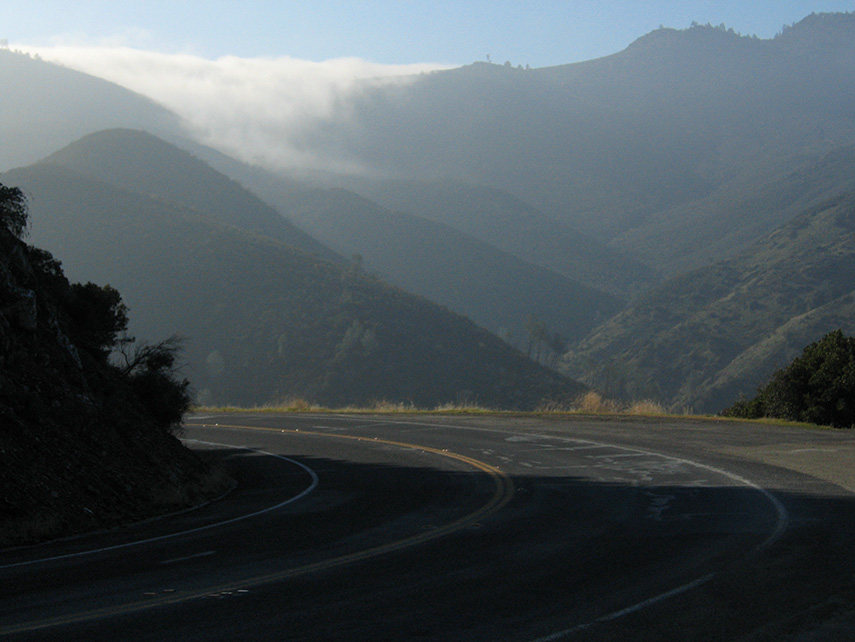
Curves Hwy.49
Banded Chert along the Merced River
20131127 008.jpg

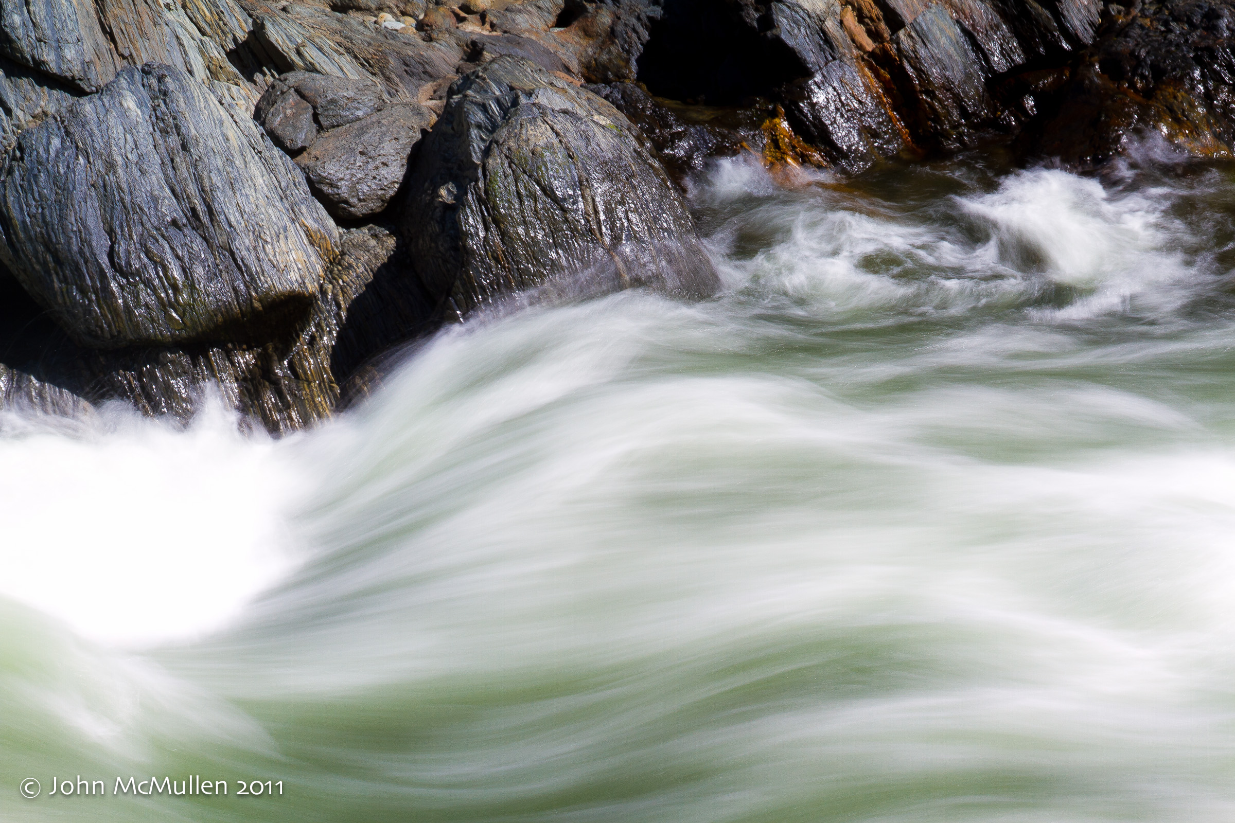
Flowing Water
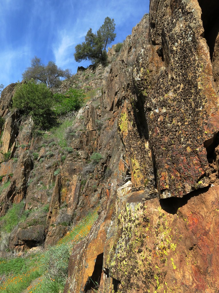
Lichen -covered rocks
Topographic Map of Rancheria Creek Rd, Midpines, CA, USA
Find elevation by address:

Places near Rancheria Creek Rd, Midpines, CA, USA:
7173 Ca-140
CA-, Mariposa, CA, USA
5851 Sherlock Rd
5876 Sherlock Rd
Briceburg
5842 Telegraph Hill Rd
5662 Lakeside Dr
Quail Lane
5431 Wilderness View Dr
5833 E Whitlock Rd
5240 Crystal Aire Dr
East Whitlock Road
5082 Oak Rd
5636 E Whitlock Rd
5071 Oak Rd
Paddy Hill Road
5665 E Whitlock Rd
5548 Foran Rd
5261 Foran Rd
5957 W Whitlock Rd
Recent Searches:
- Elevation of Kambingan Sa Pansol Atbp., Purok 7 Pansol, Candaba, Pampanga, Philippines
- Elevation of Pinewood Dr, New Bern, NC, USA
- Elevation of Mountain View, CA, USA
- Elevation of Foligno, Province of Perugia, Italy
- Elevation of Blauwestad, Netherlands
- Elevation of Bella Terra Blvd, Estero, FL, USA
- Elevation of Estates Loop, Priest River, ID, USA
- Elevation of Woodland Oak Pl, Thousand Oaks, CA, USA
- Elevation of Brownsdale Rd, Renfrew, PA, USA
- Elevation of Corcoran Ln, Suffolk, VA, USA