Elevation of Crystal Aire Dr, Mariposa, CA, USA
Location: United States > California > Mariposa County > Mariposa >
Longitude: -119.95673
Latitude: 37.5380759
Elevation: 974m / 3196feet
Barometric Pressure: 90KPa
Elevation Map:
Satellite Map:
Related Photos:
Looking Up a Hillside of Trees and Grassy Meadows
Greens of Tree Leaves on the California Hillsides
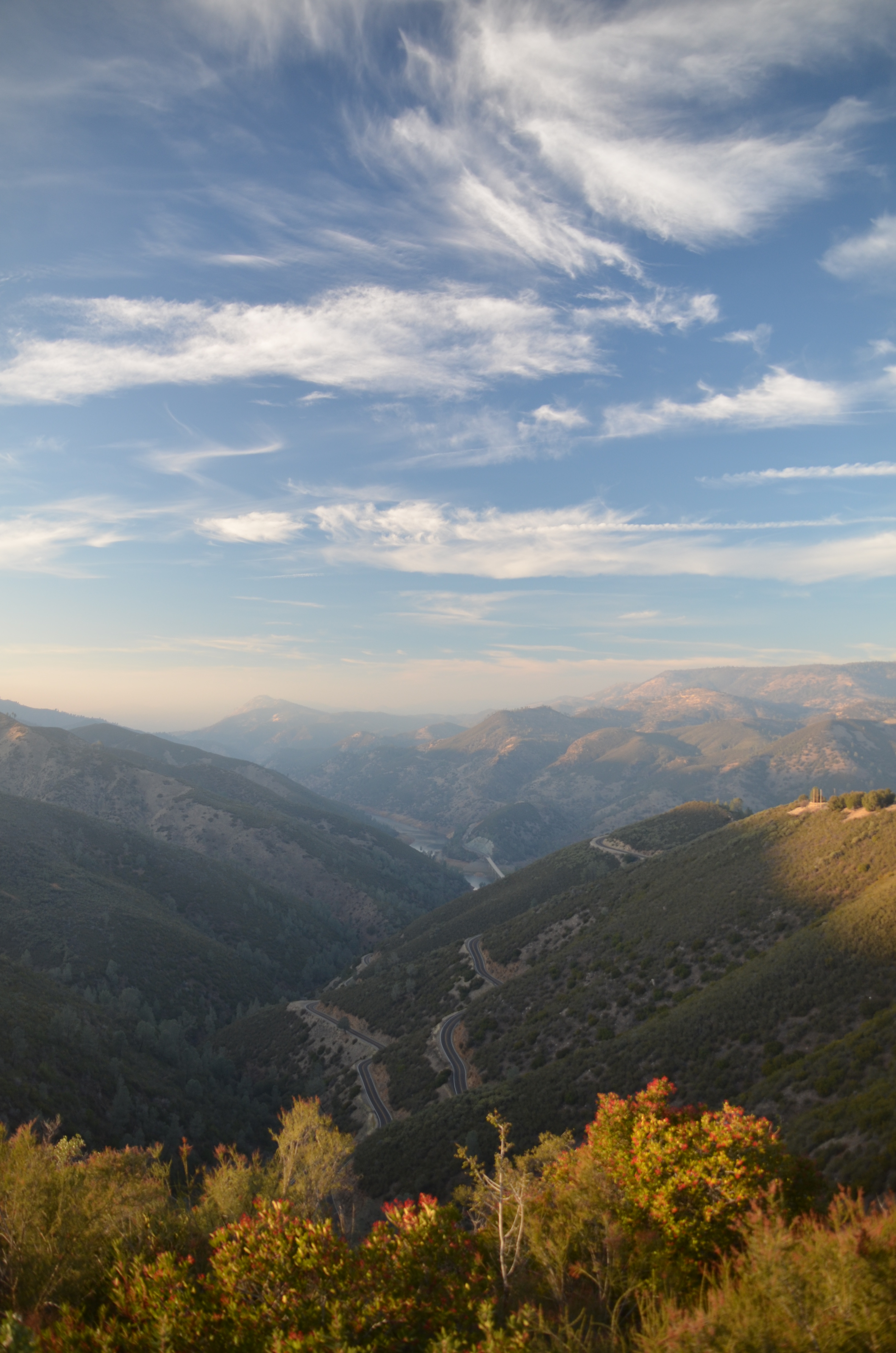
View From The Coast to Yosemite NP

Yosemite National Park - Glacier Point Timelapse
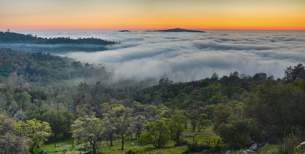
Ominous Sky

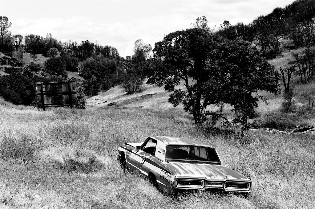
Rusty Doors
Sortie de Route / Catheys Valley - Californie

Largest Menu in the Sierra

St. Joseph's Church, Mariposa
A man paints with his brains and not with his hands…

Cruising for Burgers
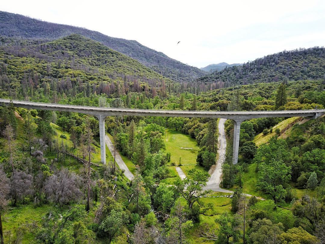
I've been eyeing this bridge for the past year finding a good day to fly by it. Well I was able to take my drone to work and was finally able to do it. This is the William Sell Bridge and it was built in 1972. It overlooks a beautiful view of the Sierras,
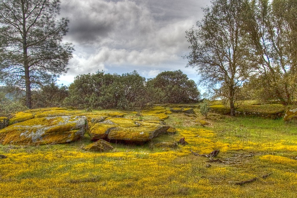
Spring Flowers

Spring of poppies

Bad weather always looks worse through a window…

Trip to Yosemite 132
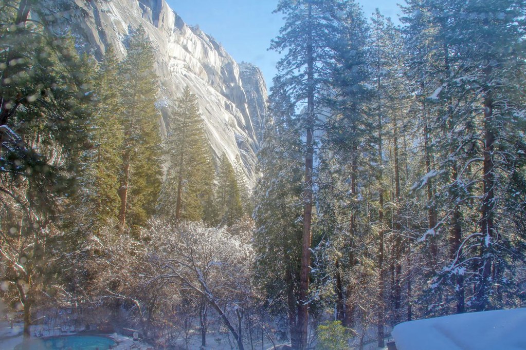
Yosemite In The Winter
Trip to Yosemite 128
California 006

Trip to Yosemite 149
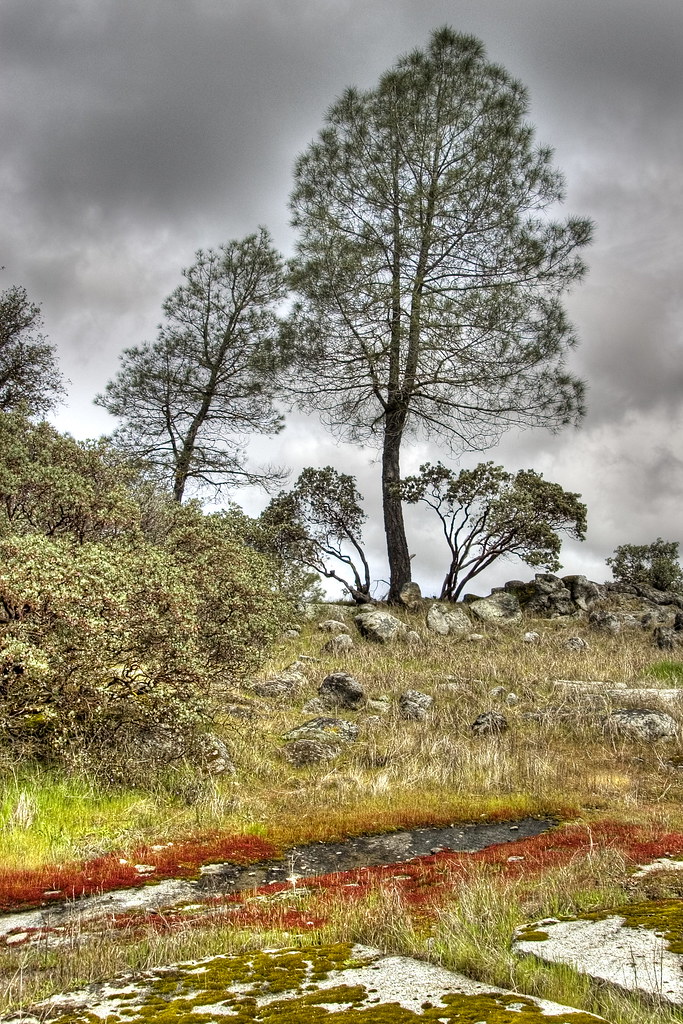
Red Moss

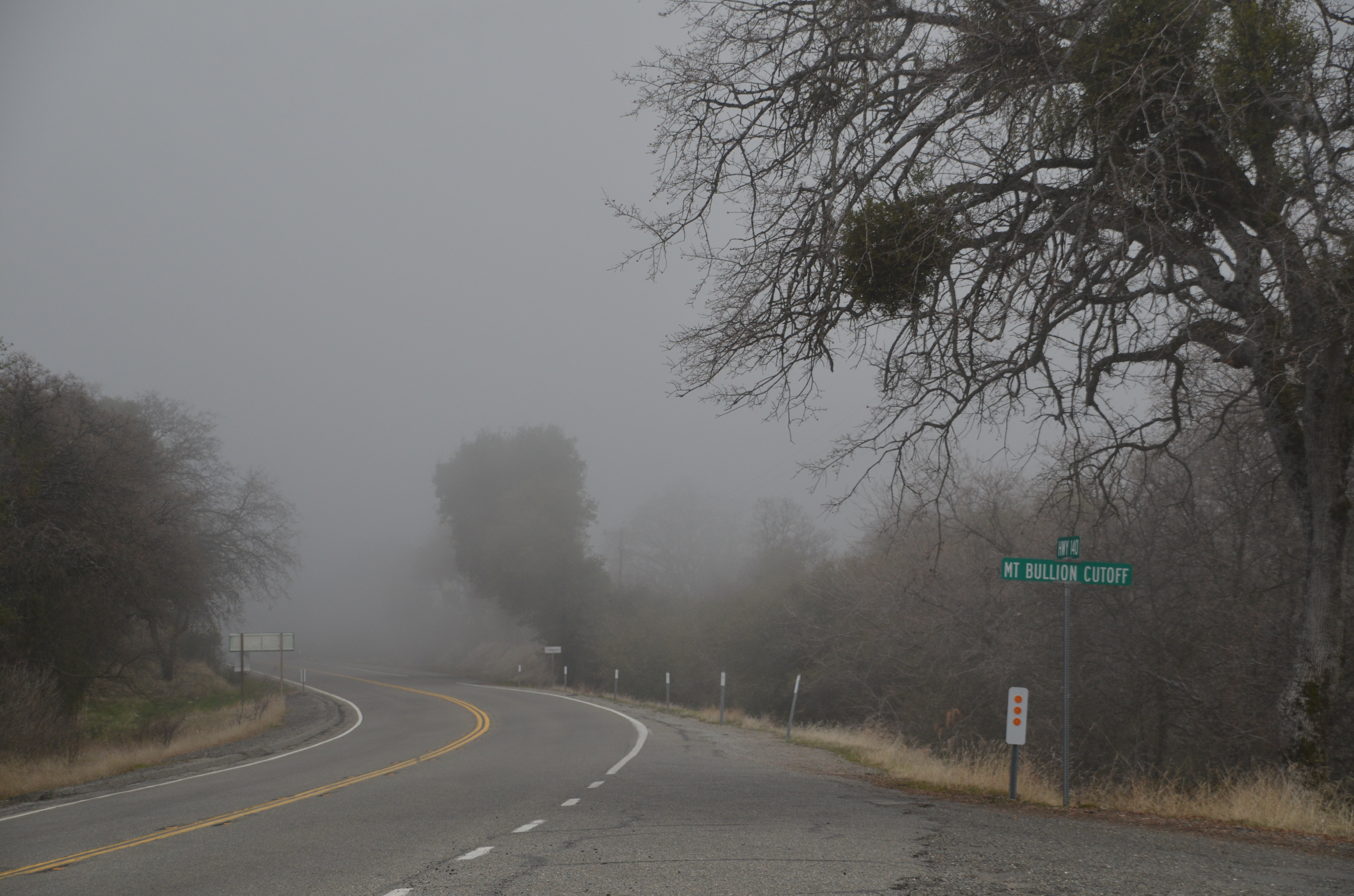
Hornitos Road Oak, Fog #1

Tenaya Lake
Carstens Fire, Mariposa County, CA
P1000316 - Yosemite
Wildflowers and Trees on the California Hillsides (Black & White)

Sierra Nevada 2017.

Hornitos Road, Morning in the Forest #2A

Hornitos Road, Morning in the Forest

Hornitos Road Oak, Fog #3
Half Dome, Yosemite National Park, California, USA

Yosemite 2016-04-0032.jpg
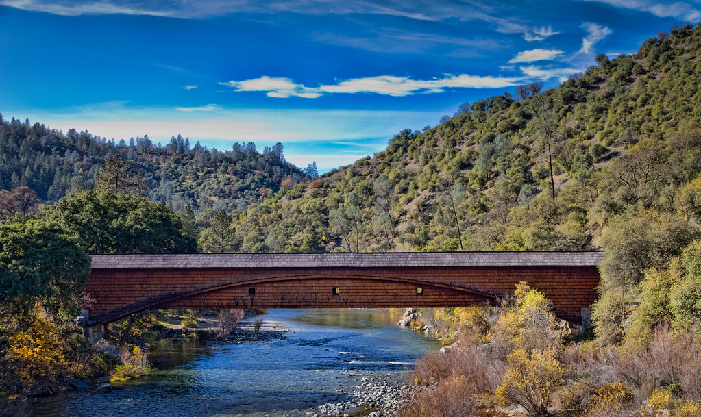
The Covered Bridge at Bridgeport

Yosemite 2016-04-0030.jpg
20131126 015.jpg

20130316-IMG_9990
_MG_7359.jpg
Merced River 8867
Topographic Map of Crystal Aire Dr, Mariposa, CA, USA
Find elevation by address:

Places near Crystal Aire Dr, Mariposa, CA, USA:
5431 Wilderness View Dr
East Whitlock Road
5174 Lakeview Rd
5548 Foran Rd
5662 Lakeside Dr
5636 E Whitlock Rd
5082 Oak Rd
5884 Vineyard
Brand Automotive Services
Midpines Summit
5071 Oak Rd
Quail Lane
Allred Rd & Slaughter House Rd
5261 Foran Rd
6323 Ca-140
5489 Alta Vista Rd
6443 Ca-140
5665 E Whitlock Rd
Midpines
5857 Allred Rd
Recent Searches:
- Elevation of W Granada St, Tampa, FL, USA
- Elevation of Pykes Down, Ivybridge PL21 0BY, UK
- Elevation of Jalan Senandin, Lutong, Miri, Sarawak, Malaysia
- Elevation of Bilohirs'k
- Elevation of 30 Oak Lawn Dr, Barkhamsted, CT, USA
- Elevation of Luther Road, Luther Rd, Auburn, CA, USA
- Elevation of Unnamed Road, Respublika Severnaya Osetiya — Alaniya, Russia
- Elevation of Verkhny Fiagdon, North Ossetia–Alania Republic, Russia
- Elevation of F. Viola Hiway, San Rafael, Bulacan, Philippines
- Elevation of Herbage Dr, Gulfport, MS, USA