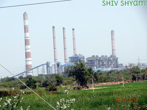
Elevation of Ramagundam, Telangana, India
Location: India > Telangana > Karimnagar > Ramagundam > Laxmi Nagar >
Longitude: 79.5069436
Latitude: 18.7463153
Elevation: 162m / 531feet
Barometric Pressure: 99KPa
Related Photos:
Topographic Map of Ramagundam, Telangana, India
Find elevation by address:

Places near Ramagundam, Telangana, India:
Laxmi Nagar
Ramagundam
Parvati Barrage (sundilla)
Naspur
Medipalle
Ponnaram
Karimnagar
Adilabad
Kaleshwaram Project
Kaleshwaram
Medigadda Pump House
Dharmapuri
Karimnagar
Jyothinagar
Telangana Chowk
Chinta Kunta
Jagtial
Raikal
Mallial
Recent Searches:
- Elevation of Lalagbene, Bayelsa, Nigeria
- Elevation of Ogbosuware Health Centre, 2WWJ+4PJ, Lalagbene, Bayelsa, Nigeria
- Elevation of Duckhorn Ct, Las Vegas, NV, USA
- Elevation of Garretts Run Rd, Ford City, PA, USA
- Elevation of N WI-55, Freedom, WI, USA
- Elevation map of Hadiya, Ethiopia
- Elevation of Hosaina, Ethiopia
- Elevation of Verde Terrace, North Port, FL, USA
- Elevation of US-, Leesburg, FL, USA
- Elevation of Summit Dr, Kerrville, TX, USA


