Elevation of Kaleshwaram, Telangana, India
Location: India > Telangana > Karimnagar >
Longitude: 79.9066763
Latitude: 18.8109892
Elevation: 119m / 390feet
Barometric Pressure: 100KPa
Elevation Map:
Satellite Map:
Related Photos:

Godavari River-(1)
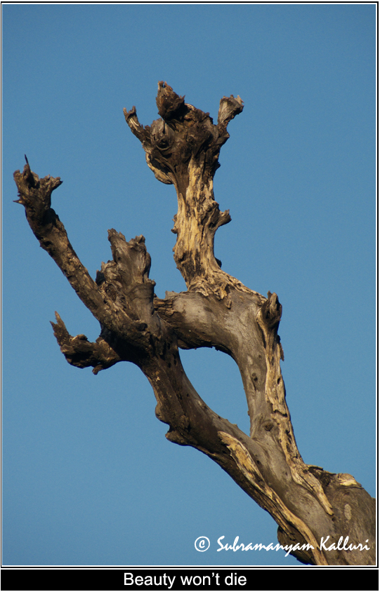
Dead beauty- (4)

Moon- (2)

Godavari River- (2)

House Sparrrow feeding the chick

House Sparrrow with feed

Cattle Egret-2
Topographic Map of Kaleshwaram, Telangana, India
Find elevation by address:

Places near Kaleshwaram, Telangana, India:
Medigadda Pump House
Parvati Barrage (sundilla)
Ponnaram
Ramagundam
Laxmi Nagar
Ramagundam, Telangana, India
Medipalle
Naspur
Adilabad
Karimnagar
Kaleshwaram Project
Dharmapuri
Karimnagar
Telangana Chowk
Jyothinagar
Chinta Kunta
Jagtial
Raikal
Mallial
Recent Searches:
- Elevation of Hickory Blvd, Bonita Springs, FL, USA
- Elevation of Lalagbene, Bayelsa, Nigeria
- Elevation of Ogbosuware Health Centre, 2WWJ+4PJ, Lalagbene, Bayelsa, Nigeria
- Elevation of Duckhorn Ct, Las Vegas, NV, USA
- Elevation of Garretts Run Rd, Ford City, PA, USA
- Elevation of N WI-55, Freedom, WI, USA
- Elevation map of Hadiya, Ethiopia
- Elevation of Hosaina, Ethiopia
- Elevation of Verde Terrace, North Port, FL, USA
- Elevation of US-, Leesburg, FL, USA