Elevation of Rakovnik, Czech Republic
Location: Czech Republic > Central Bohemian Region > Rakovník District >
Longitude: 13.7396623
Latitude: 50.106123
Elevation: 362m / 1188feet
Barometric Pressure: 97KPa
Elevation Map:
Satellite Map:
Related Photos:

Haz camino
View through main entrance to Křivoklát Castle / Hrad
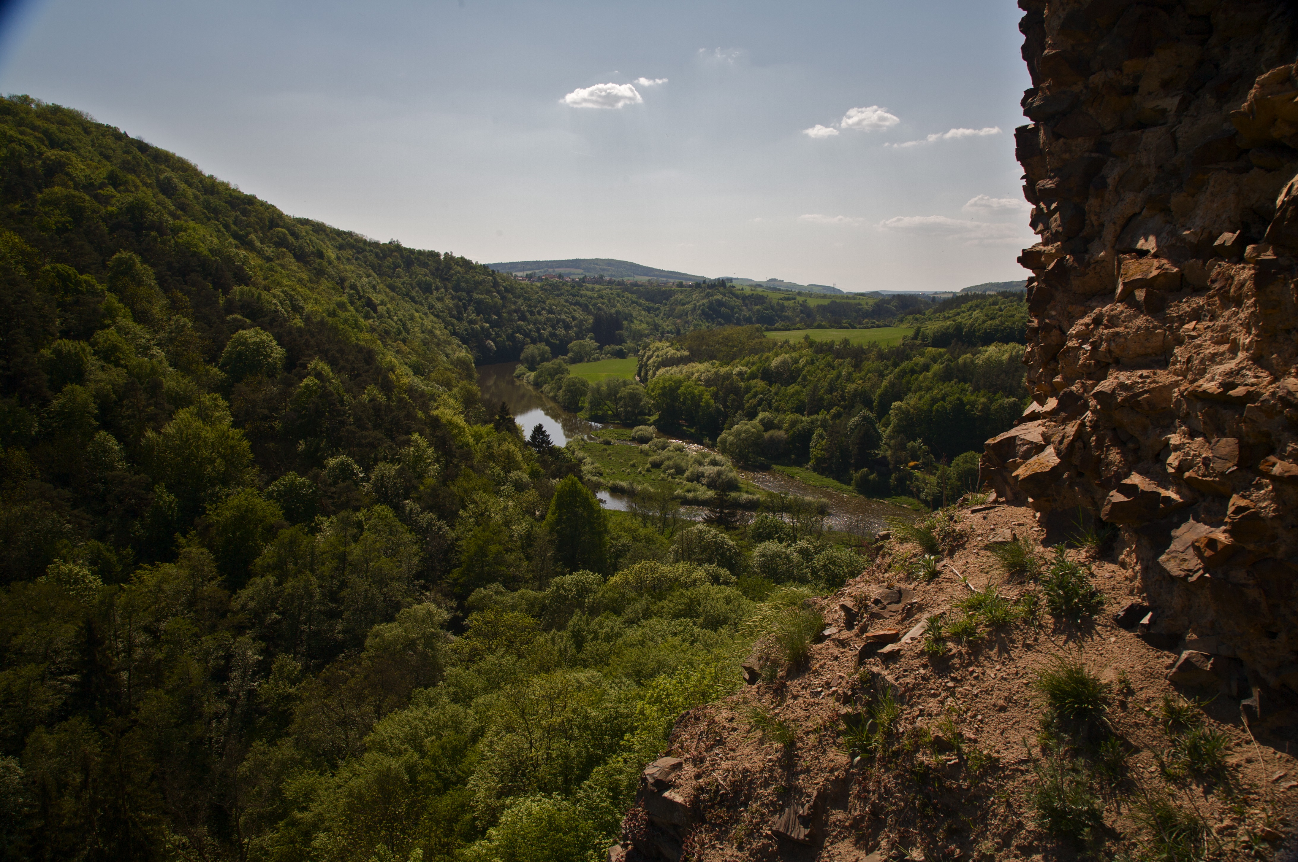
The Valley
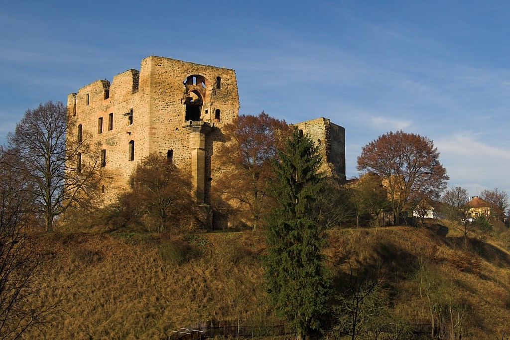
View of Křivoklát Castle / Hrad
View from the base of the tower at Flag flying at the Křivoklát Castle / Hrad
View of autumn forest from Křivoklát Castle / Hrad

View of Křivoklát Castle / Hrad
View to the village Branov
Castle Krivoklat
photo (1)
Krakovec Castle (hrad Krakovec)
Týřov

Antic Fountain at Lány castle

Water lily
Topographic Map of Rakovnik, Czech Republic
Find elevation by address:

Places in Rakovnik, Czech Republic:
Places near Rakovnik, Czech Republic:
Žižkovo nám. 1, Rakovník I, 01 Rakovník, Czech Republic
Rakovník I
Rakovník Ii
Lužná
Rakovník District
Zákonův mlýn 69, Rakovník II, 01 Rakovník, Czech Republic
Janov 7, 06 Janov, Czech Republic
Janov
Louny
Louny District
Lužerady, 01 Louny, Czech Republic
Veltěže
Beroun District
Chožov, 22 Chožov, Czech Republic
Chožov
Chodouň
Chodouň 9, 51 Chodouň, Czech Republic
Vrbičany
Vrbičany 22, 74 Vrbičany, Czech Republic
Žihle
Recent Searches:
- Elevation of 3 Nestling Wood Dr, Long Valley, NJ, USA
- Elevation of Ilungu, Tanzania
- Elevation of Yellow Springs Road, Yellow Springs Rd, Chester Springs, PA, USA
- Elevation of Rēzekne Municipality, Latvia
- Elevation of Plikpūrmaļi, Vērēmi Parish, Rēzekne Municipality, LV-, Latvia
- Elevation of 2 Henschke Ct, Caboolture QLD, Australia
- Elevation of Redondo Ave, Long Beach, CA, USA
- Elevation of Sadovaya Ulitsa, 20, Rezh, Sverdlovskaya oblast', Russia
- Elevation of Ulitsa Kalinina, 79, Rezh, Sverdlovskaya oblast', Russia
- Elevation of 72-31 Metropolitan Ave, Middle Village, NY, USA