Elevation of Janov, Czech Republic
Location: Czech Republic > Central Bohemian Region > Rakovník District >
Longitude: 13.6398129
Latitude: 50.2104081
Elevation: 422m / 1385feet
Barometric Pressure: 96KPa
Elevation Map:
Satellite Map:
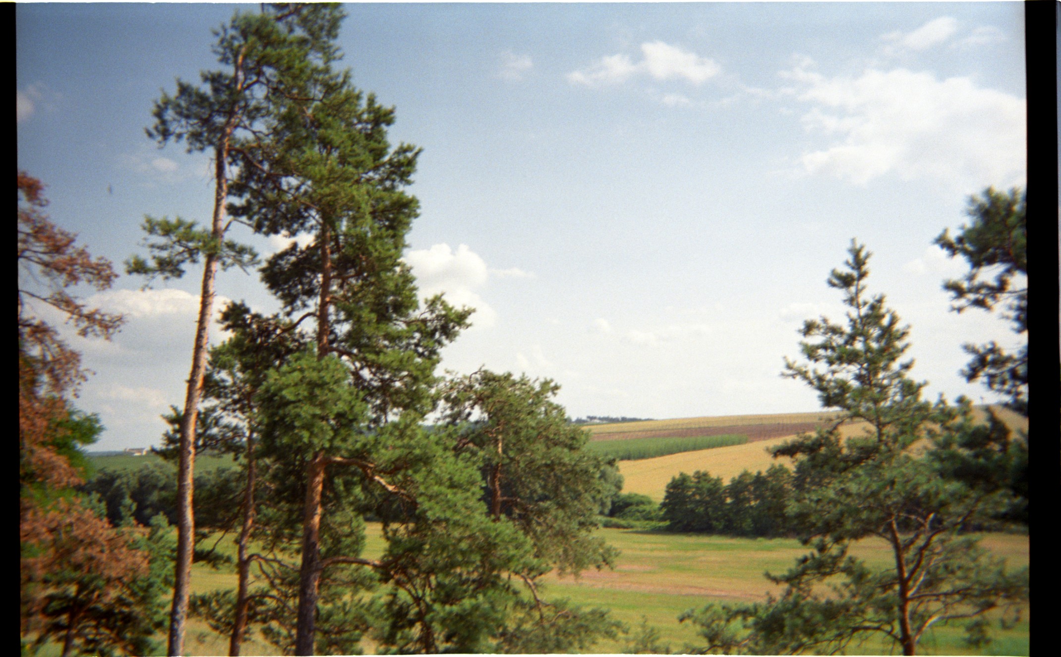
Related Photos:
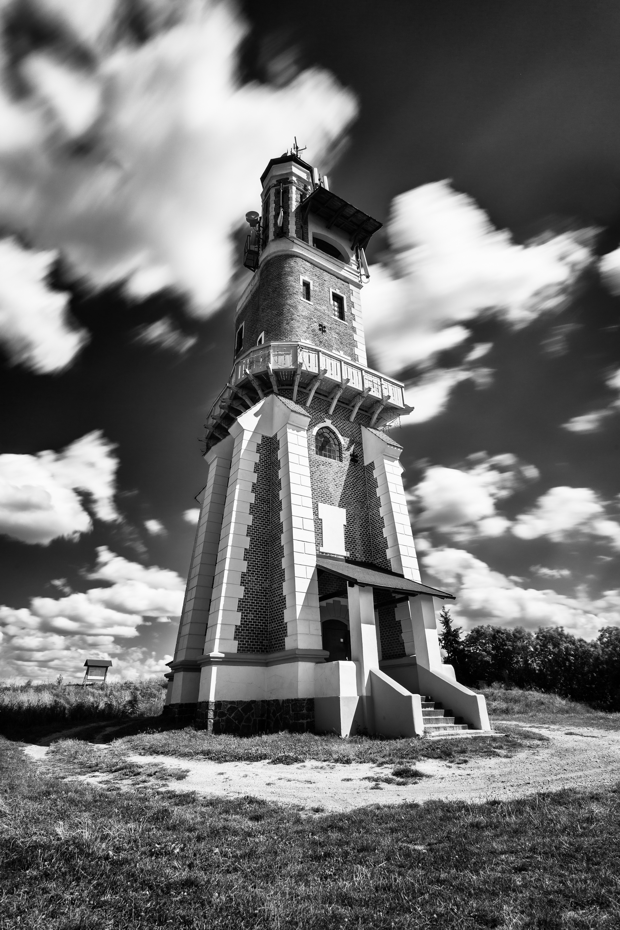
Schiller's Tower, Kryry

The boat on the horizon!

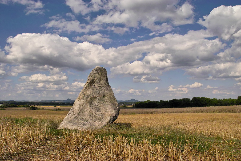
The Spellbound Monk
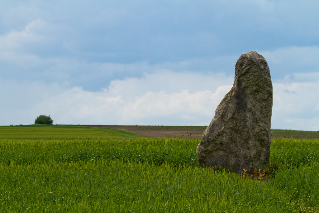
The Spellbound Monk (II)
62 Zkamenělý mnich a horizont
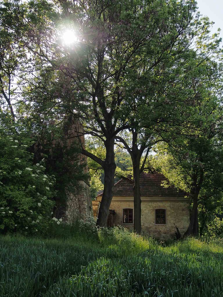
Ancient farmhouse at Dřevíč
59 Zkamenělý mnich zblízka
60 Zkamenělý mnich a pěšinka

Коровы в окрестностях деревни Очиговец, Чехия | Cows in the outskirts of Očihovec, Czech Republic
Kafemlejnek u Chrášťan
70 Zkamenělý mnich a Středohoří
Окрестности деревни Очиговец, Чехия | The outskirts of Očihovec, Czech Republic
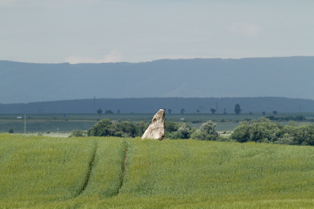
58 Zkamenělý mnich

423.094, Lišany

354.7152, Kněževes
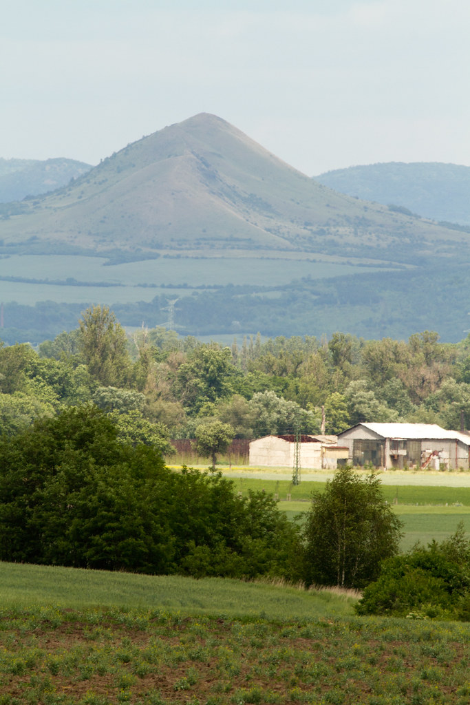
61 Raná
Topographic Map of Janov, Czech Republic
Find elevation by address:

Places in Janov, Czech Republic:
Places near Janov, Czech Republic:
Janov 7, 06 Janov, Czech Republic
Zákonův mlýn 69, Rakovník II, 01 Rakovník, Czech Republic
Rakovník Ii
Rakovník I
Žižkovo nám. 1, Rakovník I, 01 Rakovník, Czech Republic
Rakovnik
Rakovník District
Lužná
Louny
Louny District
Lužerady, 01 Louny, Czech Republic
Havraň
Veltěže
Chožov
Chožov, 22 Chožov, Czech Republic
Most District
Most
Rudolice Nad Bílinou
Školní 16, Rudolice, 01 Most, Czech Republic
Lužice 19, 24 Lužice, Czech Republic
Recent Searches:
- Elevation of 12 Hutchinson Woods Dr, Fletcher, NC, USA
- Elevation of Holloway Ave, San Francisco, CA, USA
- Elevation of Norfolk, NY, USA
- Elevation of - San Marcos Pass Rd, Santa Barbara, CA, USA
- Elevation of th Pl SE, Issaquah, WA, USA
- Elevation of 82- D Rd, Captain Cook, HI, USA
- Elevation of Harlow CM20 2PR, UK
- Elevation of Shenyang Agricultural University, Dong Ling Lu, Shen He Qu, Shen Yang Shi, Liao Ning Sheng, China
- Elevation of Alpha Dr, Melbourne, FL, USA
- Elevation of Hiroshima University, 1-chōme-3-2 Kagamiyama, Higashihiroshima, Hiroshima -, Japan