Elevation of Rajewadi, Maharashtra, India
Location: India > Maharashtra > Pune >
Longitude: 74.1533563
Latitude: 18.3882669
Elevation: 723m / 2372feet
Barometric Pressure: 93KPa
Elevation Map:
Satellite Map:
Related Photos:

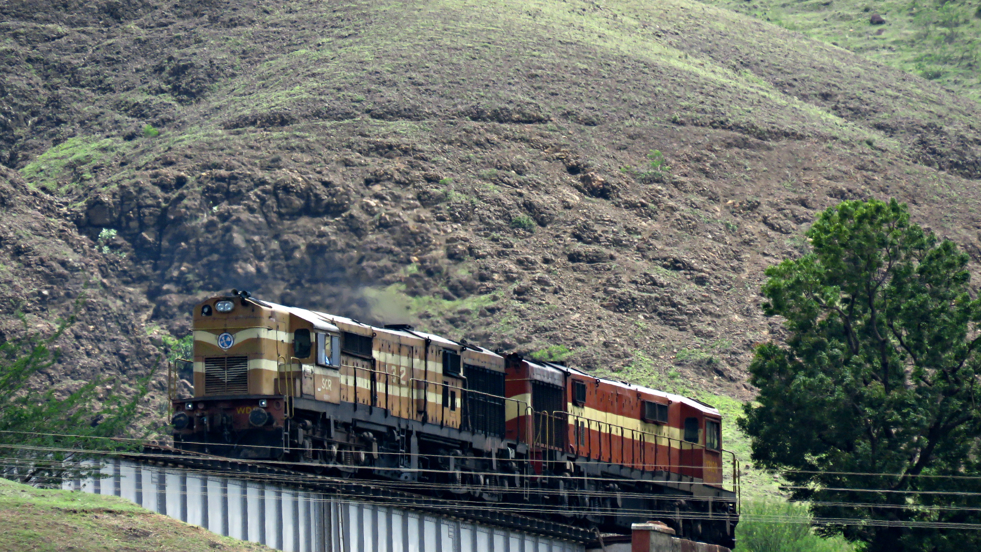
Aerial View of 12630 Karnataka Sampark Kranti

Panoramic view of Shindawane Ghat

View from Dive Ghat

Panorama: View from Dive Ghat

Pune-Satara Passenger!
Gooty Twins

Somavati 25Aug2014 025

FullSizeRender 15

Monsoon is arriving #wanderlust #travel #cloud #clouds #cloudporn #sky #blueinmyframe #landscape #iphone #iphoneography #hdr
Topographic Map of Rajewadi, Maharashtra, India
Find elevation by address:

Places near Rajewadi, Maharashtra, India:
Romanwadi - Pandeshwar Road
Zendewadi
Dive Ghat
Matoba Petroleum
Manjri Greens Annexe
Somurdi
Gadital
Sasane Nagar
Baif Road
Undri
Keshav Nagar
Gadevasti Road
Yewalewadi
Hadapsar
Magarpatta City
Wagholi
Eon Free Zone
Zs Associates India Pvt. Ltd.
Goel Ganga Developments
Santipur
Recent Searches:
- Elevation of SW 57th Ave, Portland, OR, USA
- Elevation of Crocker Dr, Vacaville, CA, USA
- Elevation of Pu Ngaol Community Meeting Hall, HWHM+3X7, Krong Saen Monourom, Cambodia
- Elevation of Royal Ontario Museum, Queens Park, Toronto, ON M5S 2C6, Canada
- Elevation of Groblershoop, South Africa
- Elevation of Power Generation Enterprises | Industrial Diesel Generators, Oak Ave, Canyon Country, CA, USA
- Elevation of Chesaw Rd, Oroville, WA, USA
- Elevation of N, Mt Pleasant, UT, USA
- Elevation of 6 Rue Jules Ferry, Beausoleil, France
- Elevation of Sattva Horizon, 4JC6+G9P, Vinayak Nagar, Kattigenahalli, Bengaluru, Karnataka, India