Elevation of Somurdi, Maharashtra, India
Location: India > Maharashtra > Pune >
Longitude: 73.9403908
Latitude: 18.3167801
Elevation: 889m / 2917feet
Barometric Pressure: 91KPa
Elevation Map:
Satellite Map:
Related Photos:

Purandar Fort Trek: View of Village

Mountain View

View from Dive Ghat

Panorama: View from Dive Ghat

Calm ..... [ON EXPLORE]

The Mighty Mountains...!! #puneclickarts #sopune #maharashtra_ig #clouds

Near Sinhagad Fort on Sinhagad Ghat Road, Pune, Maharashtra

Near Sinhagad Fort on Sinhagad Ghat Road, Pune, Maharashtra

Banded Racer (Argyrogena fasciolata)
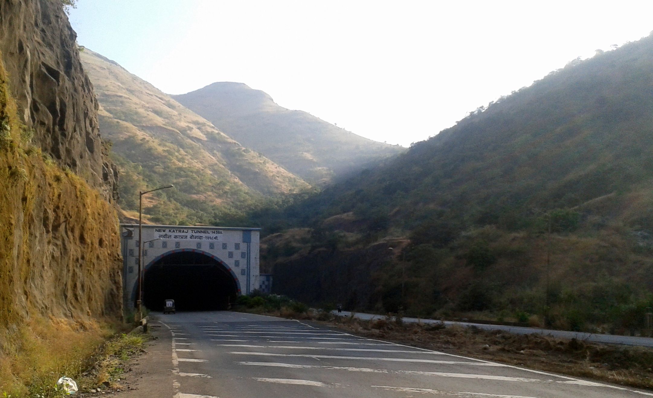
New Katraj Tunnel on Mumbai-Pune Bypass Road, Pune, Maharashtra

Baneshwar, Pune

Baneshwar, Pune

Baneshwar, Pune

Baneshwar, Pune

Baneshwar, Pune
Baneshwar, Pune
Purandar Fort Trek: Ramparts of Forts

Baneshwar, Pune

2012-02-24 13.03.09

Bangalore Highway

Fort Purandar road
Topographic Map of Somurdi, Maharashtra, India
Find elevation by address:

Places near Somurdi, Maharashtra, India:
Shindevadi
Dive Ghat
Pune - Satara Road
Katraj Ghat
Zendewadi
Yewalewadi
Undri
Mangadewadi
Katraj
Rajiv Gandhi Zoological Park And Wildlife Research Center,katraj
Mallik Nagar
Kumar Prithvi
Bharati Vidyapeeth English Medium High School
Kondhwa
Sasane Nagar
Wanwadi
Silver Oak Apartments
Lullanagar
Gadital
Thoptewadi
Recent Searches:
- Elevation of SW 57th Ave, Portland, OR, USA
- Elevation of Crocker Dr, Vacaville, CA, USA
- Elevation of Pu Ngaol Community Meeting Hall, HWHM+3X7, Krong Saen Monourom, Cambodia
- Elevation of Royal Ontario Museum, Queens Park, Toronto, ON M5S 2C6, Canada
- Elevation of Groblershoop, South Africa
- Elevation of Power Generation Enterprises | Industrial Diesel Generators, Oak Ave, Canyon Country, CA, USA
- Elevation of Chesaw Rd, Oroville, WA, USA
- Elevation of N, Mt Pleasant, UT, USA
- Elevation of 6 Rue Jules Ferry, Beausoleil, France
- Elevation of Sattva Horizon, 4JC6+G9P, Vinayak Nagar, Kattigenahalli, Bengaluru, Karnataka, India