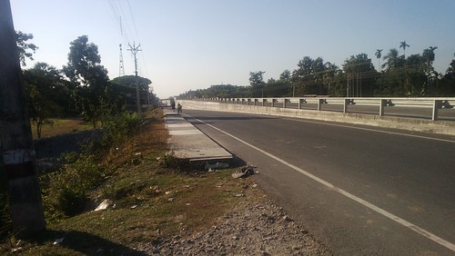
Elevation of RAIDAK FOREST REST HOUSE, Buxa, Tiger Reserve, Dist, Uttar Rampur, West Bengal, India
Location: India > West Bengal > Jalpaiguri > Uttar Rampur >
Longitude: 89.7303598
Latitude: 26.5871002
Elevation: 73m / 240feet
Barometric Pressure: 100KPa
Related Photos:
Topographic Map of RAIDAK FOREST REST HOUSE, Buxa, Tiger Reserve, Dist, Uttar Rampur, West Bengal, India
Find elevation by address:

Places near RAIDAK FOREST REST HOUSE, Buxa, Tiger Reserve, Dist, Uttar Rampur, West Bengal, India:
Uttar Rampur
Raydak Forest
Nararthali Water Bodies
Rahimabad Tea Garden
Kumargram Tea Garden
Raidak River
Sankos Tea Garden
Dakshin Parokata
Purbba Majherdabri Tea Garden
Buxa Tiger Reserve
Rajabhat Tea Garden
Atiabari Tea Garden
Bhatkhawa Tea Garden
Paitkapara Tea Garden
Nimtijhora Tea Garden
Alipurduar
Madhu Tea Garden
Cooch Behar
Madhya Madarihat
The Mystic Forest - A Tea Garden Resort
Recent Searches:
- Elevation of Congressional Dr, Stevensville, MD, USA
- Elevation of Bellview Rd, McLean, VA, USA
- Elevation of Stage Island Rd, Chatham, MA, USA
- Elevation of Shibuya Scramble Crossing, 21 Udagawacho, Shibuya City, Tokyo -, Japan
- Elevation of Jadagoniai, Kaunas District Municipality, Lithuania
- Elevation of Pagonija rock, Kranto 7-oji g. 8"N, Kaunas, Lithuania
- Elevation of Co Rd 87, Jamestown, CO, USA
- Elevation of Tenjo, Cundinamarca, Colombia
- Elevation of Côte-des-Neiges, Montreal, QC H4A 3J6, Canada
- Elevation of Bobcat Dr, Helena, MT, USA


