Elevation of Madhu Tea Garden, West Bengal, India
Location: India > West Bengal > Jalpaiguri >
Longitude: 89.3866889
Latitude: 26.7159123
Elevation: 123m / 404feet
Barometric Pressure: 100KPa
Elevation Map:
Satellite Map:
Related Photos:
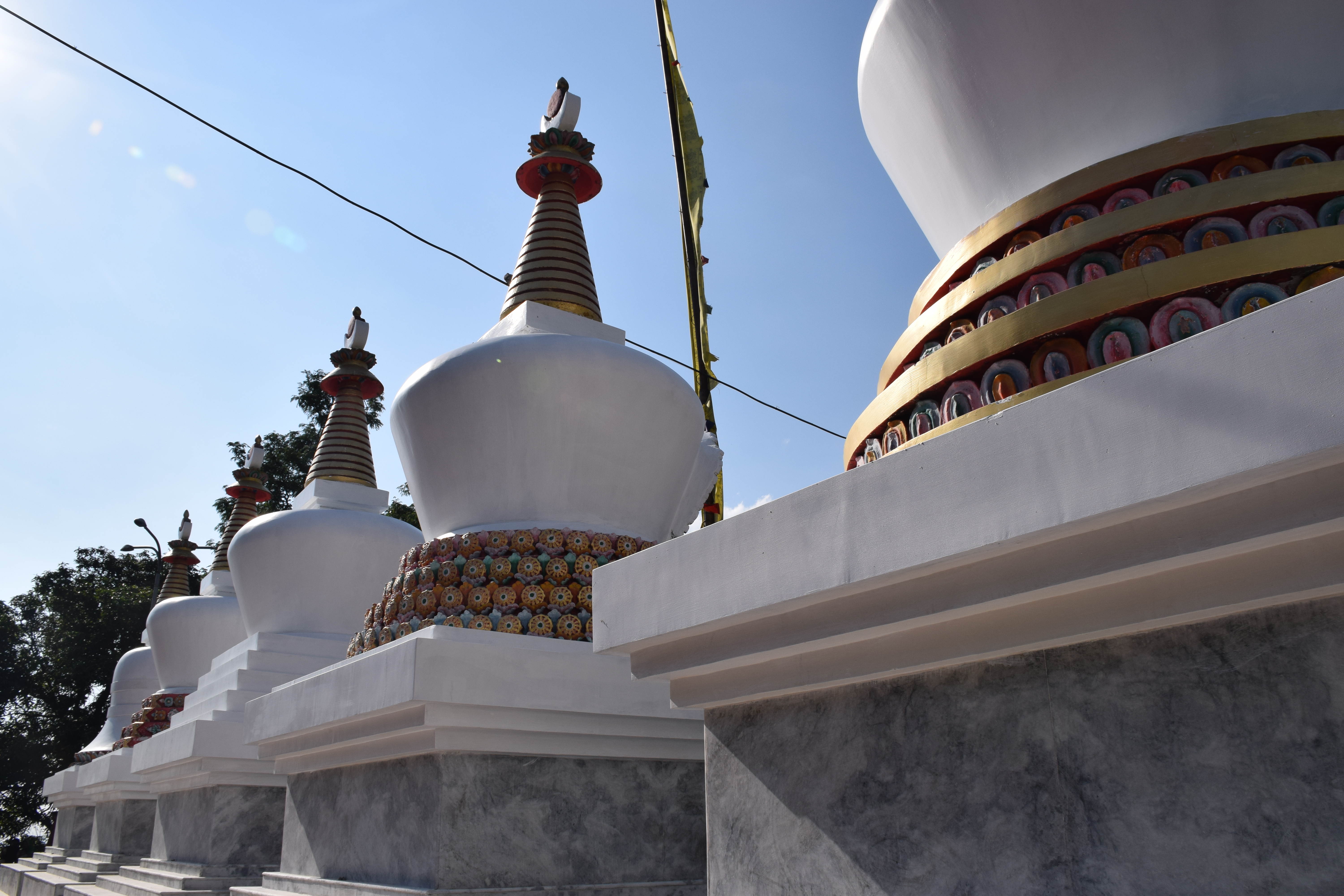
Stupas at Rinchinding Gompa, Bhutan
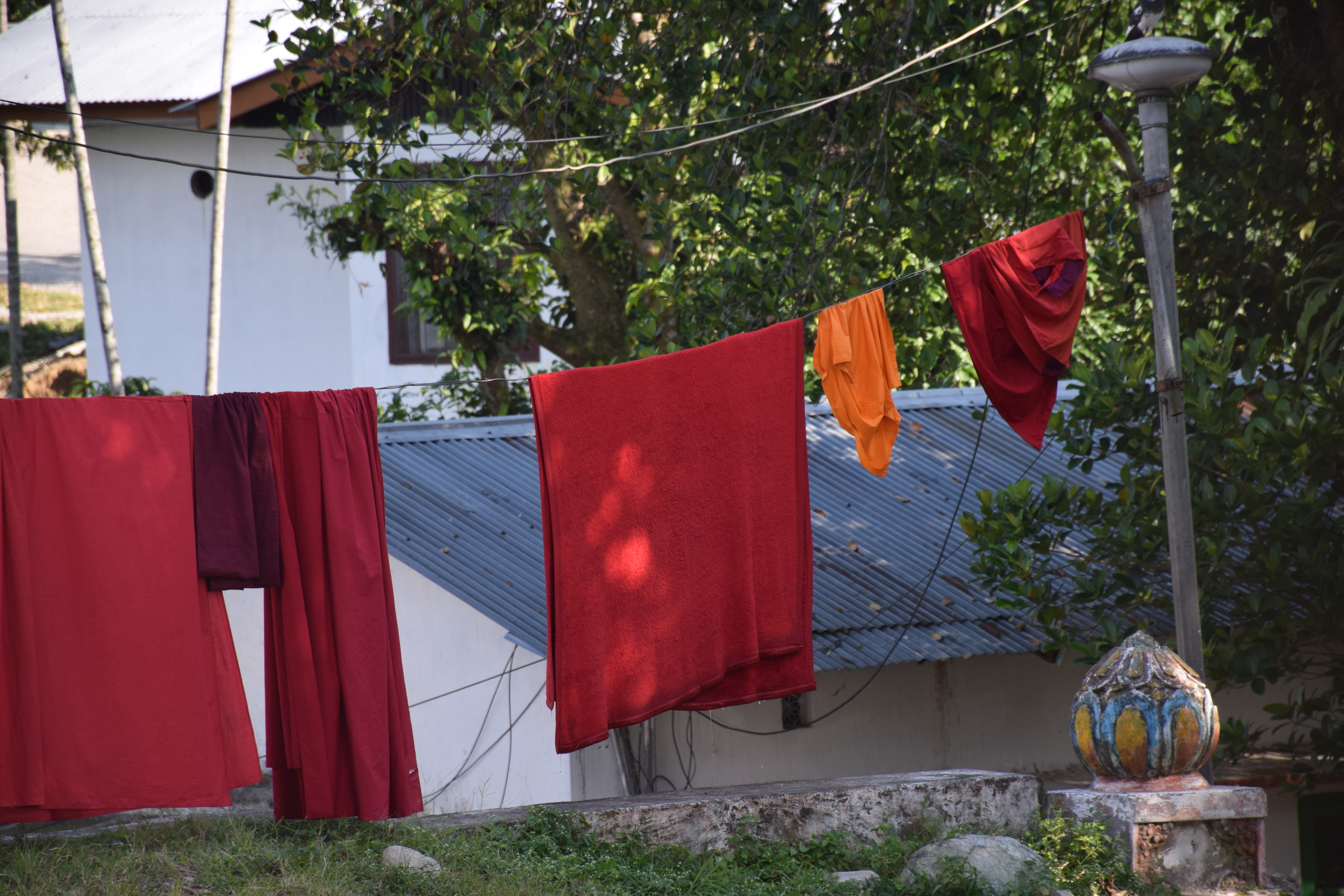
Monks' laundry at Rinchinding Gompa, Bhutan
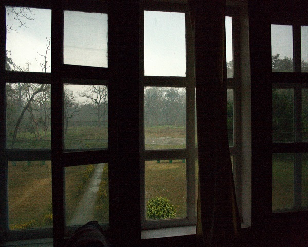
Hollong lodge room view
At Rinchinding Gompa, Bhutan

Bhutan-19
Lone worker
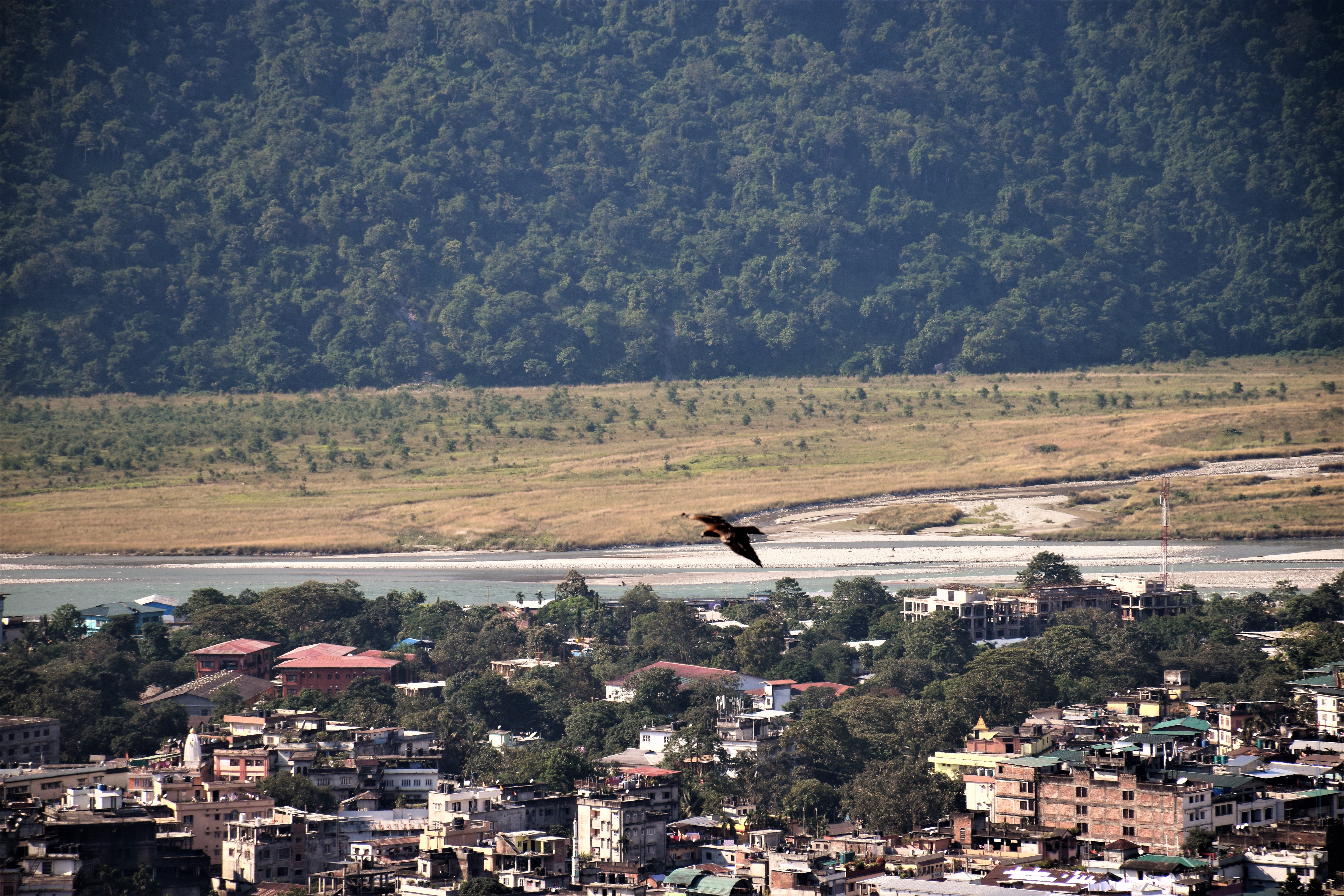
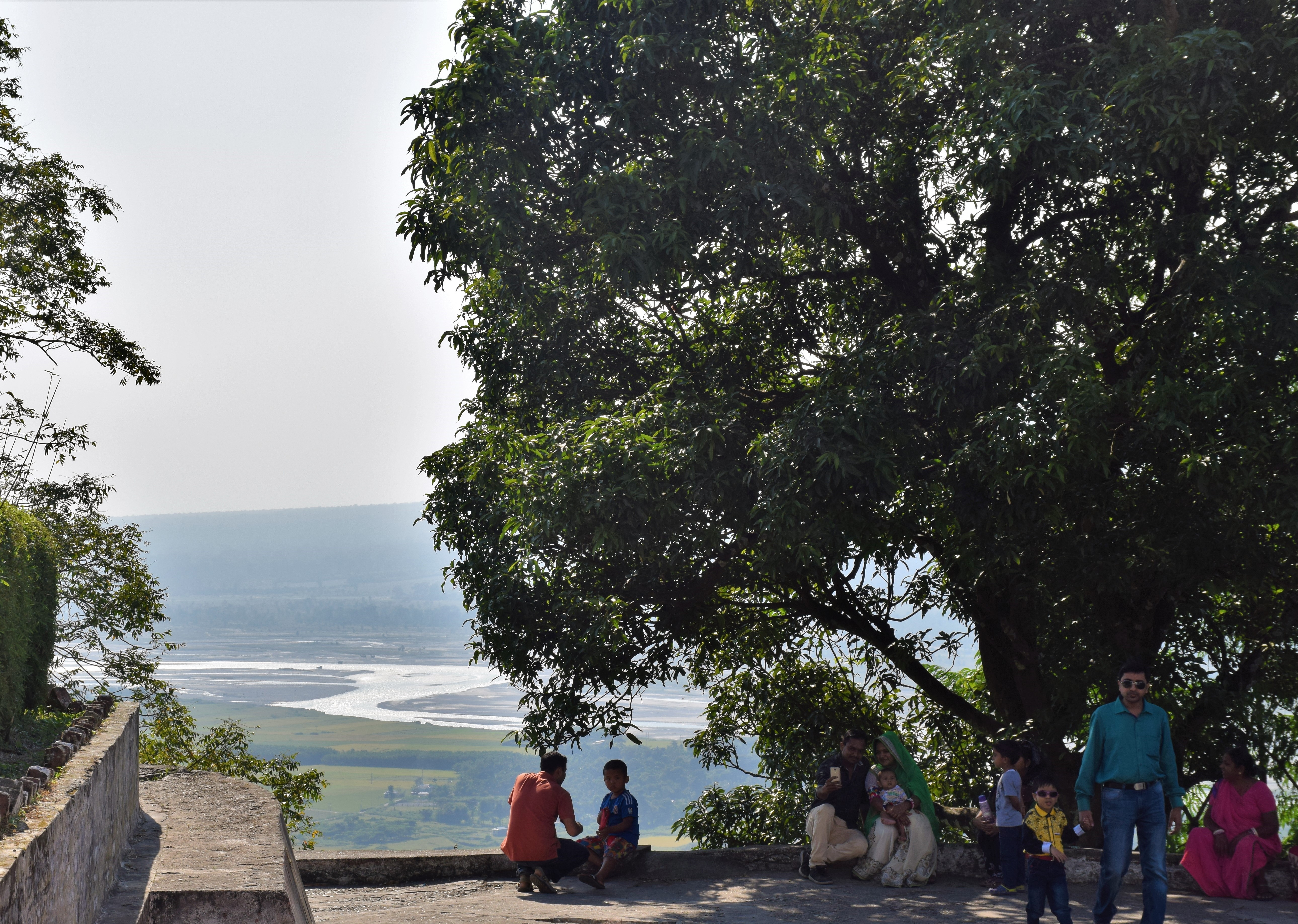
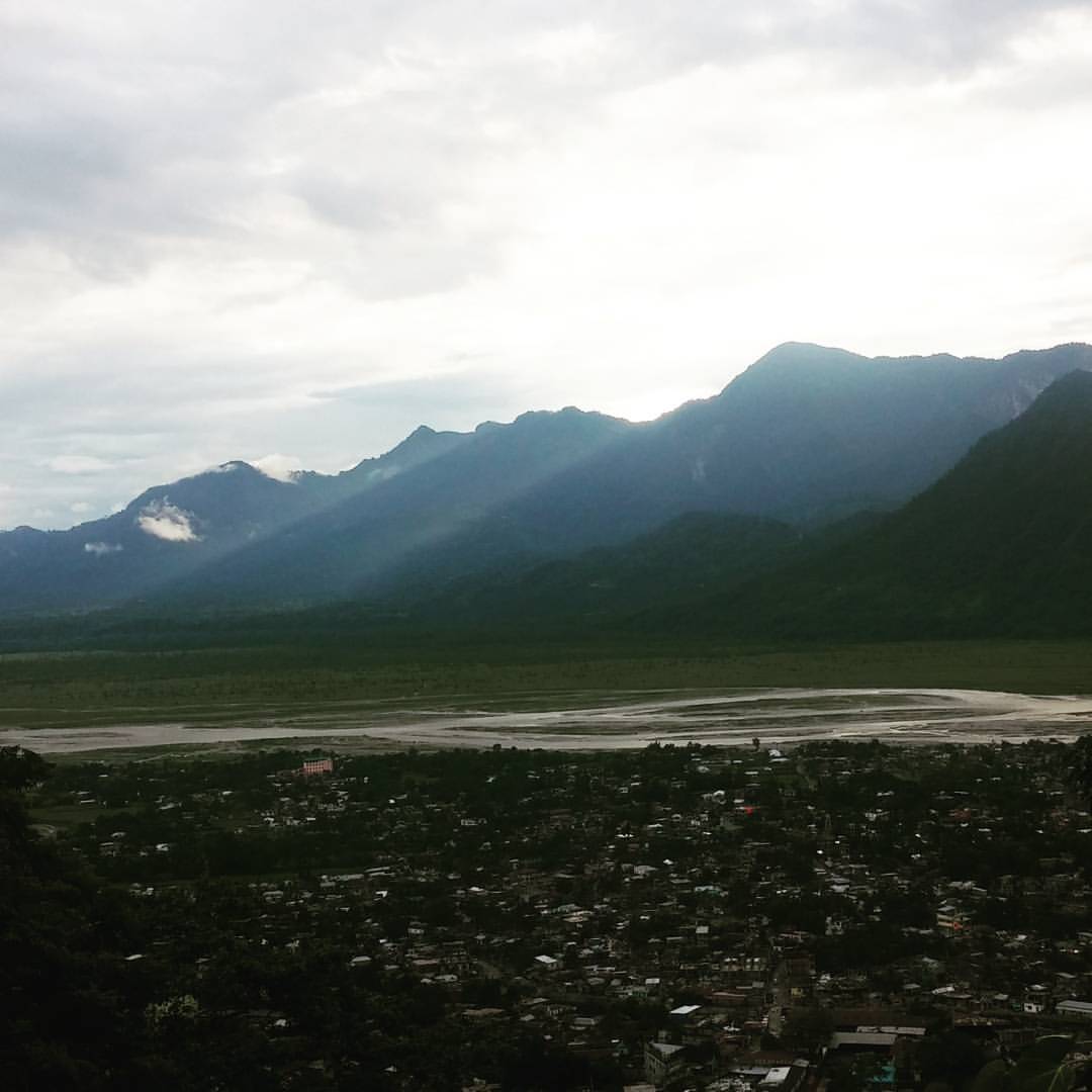
View over Phuntsholing and the river Torsa
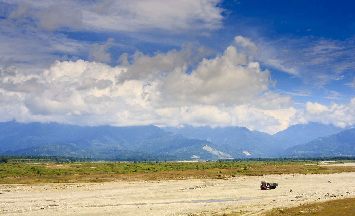
Raimatang...
Jaigaon-3956
Buy it or don't.. #ForReal #Scenic

Rhino at Hollong tourist lodge, Jaldapara
Topographic Map of Madhu Tea Garden, West Bengal, India
Find elevation by address:

Places near Madhu Tea Garden, West Bengal, India:
Alipurduar
Bhatkhawa Tea Garden
Atiabari Tea Garden
Madhya Madarihat
Rajabhat Tea Garden
The Mystic Forest - A Tea Garden Resort
Dakshin Madarihat
Nimtijhora Tea Garden
Buxa Tiger Reserve
Jalpaiguri Division
Paitkapara Tea Garden
Gopalpur Tea Garden
Dalgaon
Dalgaon Tea Garden
Birpara Tea Garden
Purbba Majherdabri Tea Garden
Dalgaon Forest
Cooch Behar Tea Garden Factory
Bara Saulmari
Ethelbari Tea Garden
Recent Searches:
- Elevation of Bernina Dr, Lake Arrowhead, CA, USA
- Elevation of N 82nd Pl, Mesa, AZ, USA
- Elevation of Snake Hill Rd, North Scituate, RI, USA
- Elevation of Lake Shore Dr, Warwick, RI, USA
- Elevation of E Brightview Ave, Pittsburgh, PA, USA
- Elevation of Cavendish Rd, Harringay Ladder, London N4 1RR, UK
- Elevation of 1 Zion Park Blvd, Springdale, UT, USA
- Elevation of Ganderbal
- Elevation map of Konkan Division, Maharashtra, India
- Elevation of Netaji Nagar, Hallow Pul, Kurla, Mumbai, Maharashtra, India