Elevation map of Raichur, Karnataka, India
Location: India > Karnataka >
Longitude: 76.6412712
Latitude: 15.9268086
Elevation: 450m / 1476feet
Barometric Pressure: 96KPa
Elevation Map:
Satellite Map:
Related Photos:
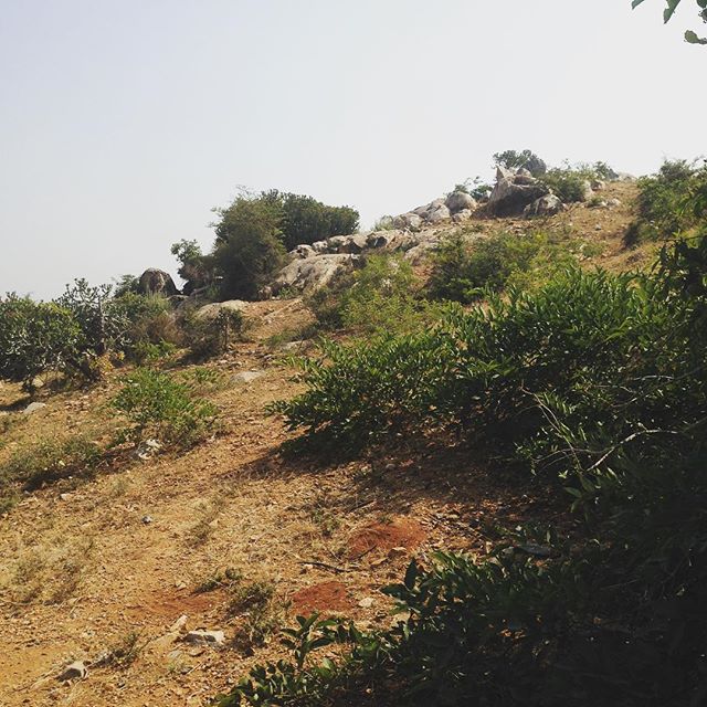
The punishing boulders around Bandarkarlkunti near...
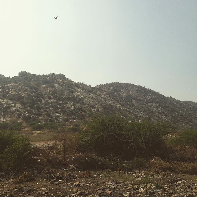
Boulders of maski with several Eagles...
Topographic Map of Raichur, Karnataka, India
Find elevation by address:

Places in Raichur, Karnataka, India:
Places near Raichur, Karnataka, India:
Sindhanur
Bapuram
Kushtagi
Kadidoddi
Gajjehalli
Arlabanda
Thippaladoddi
Substation Kolmanpet
Gorkal
Kamandoddi
Koppal
Moogaladoddi
Duddi
Zumaladinne
Vandavagili
Sree Anjaneya Swamy Temple
Marlamadiki
Agasanur
Kandukur
Chirthanakal
Recent Searches:
- Elevation of Spaceport America, Co Rd A, Truth or Consequences, NM, USA
- Elevation of Warwick, RI, USA
- Elevation of Fern Rd, Whitmore, CA, USA
- Elevation of 62 Abbey St, Marshfield, MA, USA
- Elevation of Fernwood, Bradenton, FL, USA
- Elevation of Felindre, Swansea SA5 7LU, UK
- Elevation of Leyte Industrial Development Estate, Isabel, Leyte, Philippines
- Elevation of W Granada St, Tampa, FL, USA
- Elevation of Pykes Down, Ivybridge PL21 0BY, UK
- Elevation of Jalan Senandin, Lutong, Miri, Sarawak, Malaysia