Elevation map of Koppal, Karnataka, India
Location: India > Karnataka >
Longitude: 76.1783739
Latitude: 15.6218951
Elevation: 635m / 2083feet
Barometric Pressure: 94KPa
Elevation Map:
Satellite Map:
Related Photos:
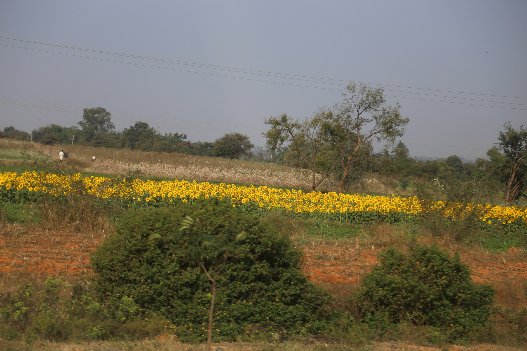
IMG_0871
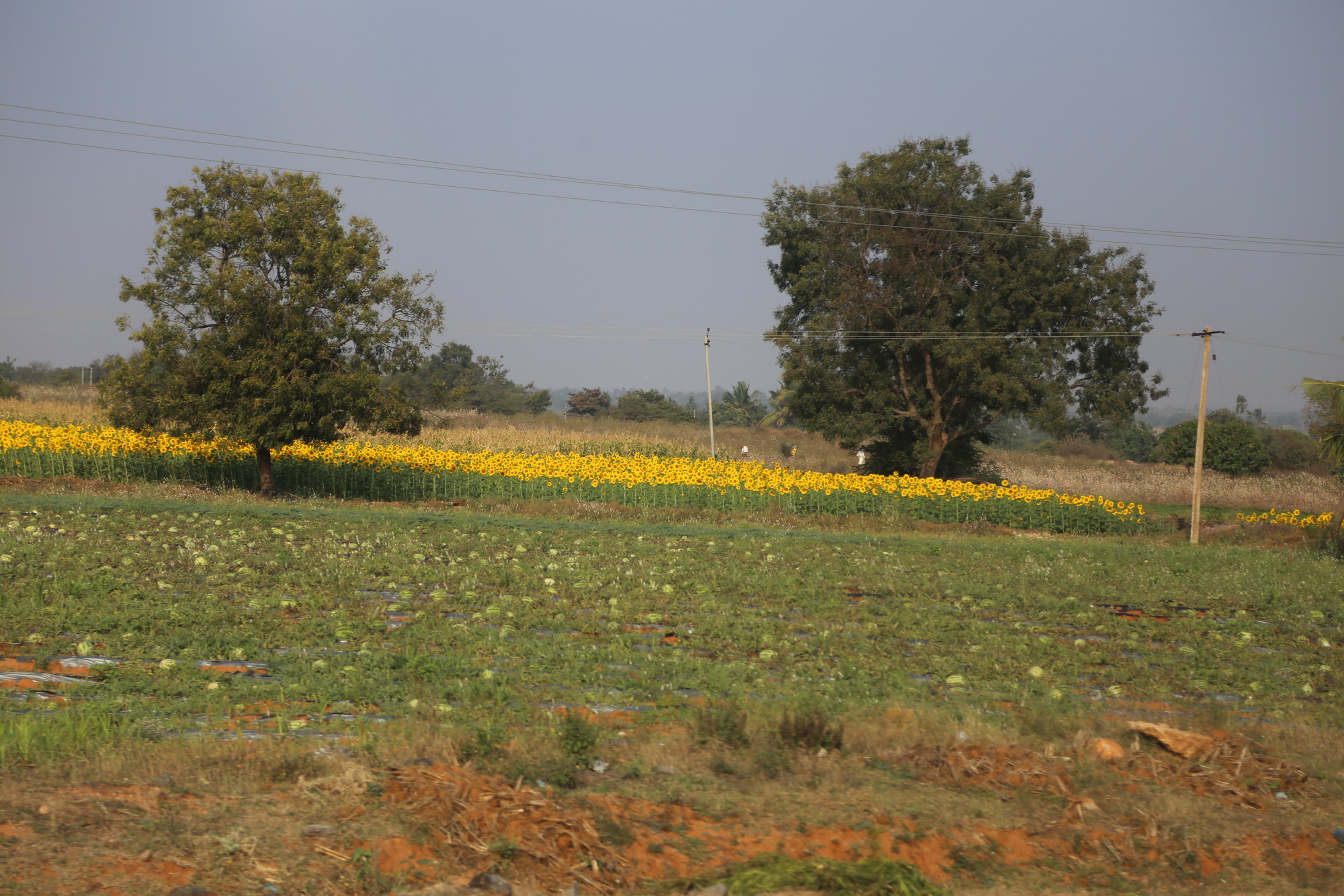
IMG_0870
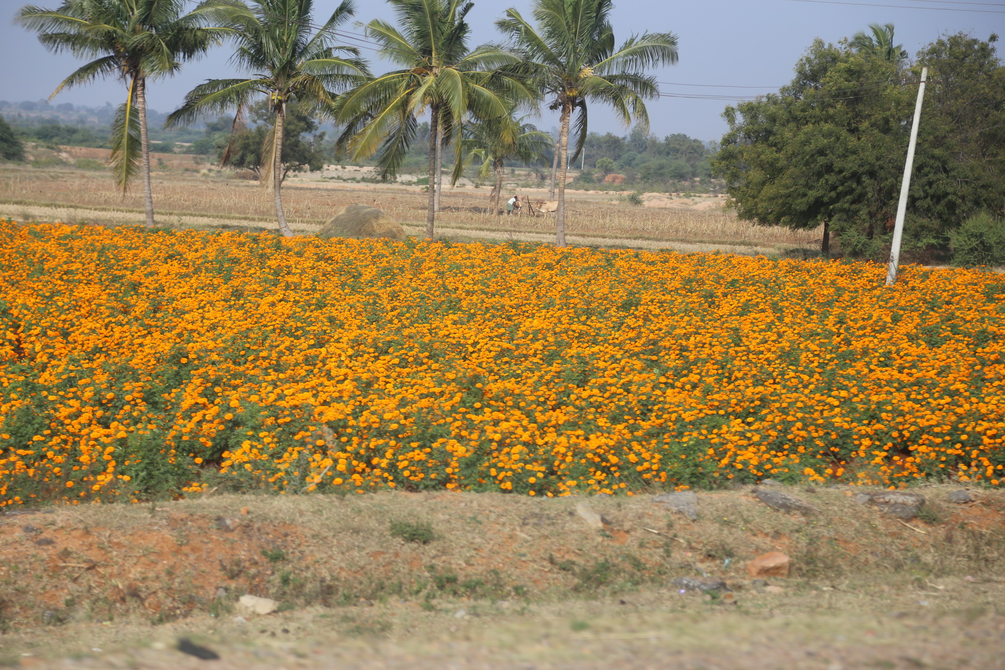
IMG_0874
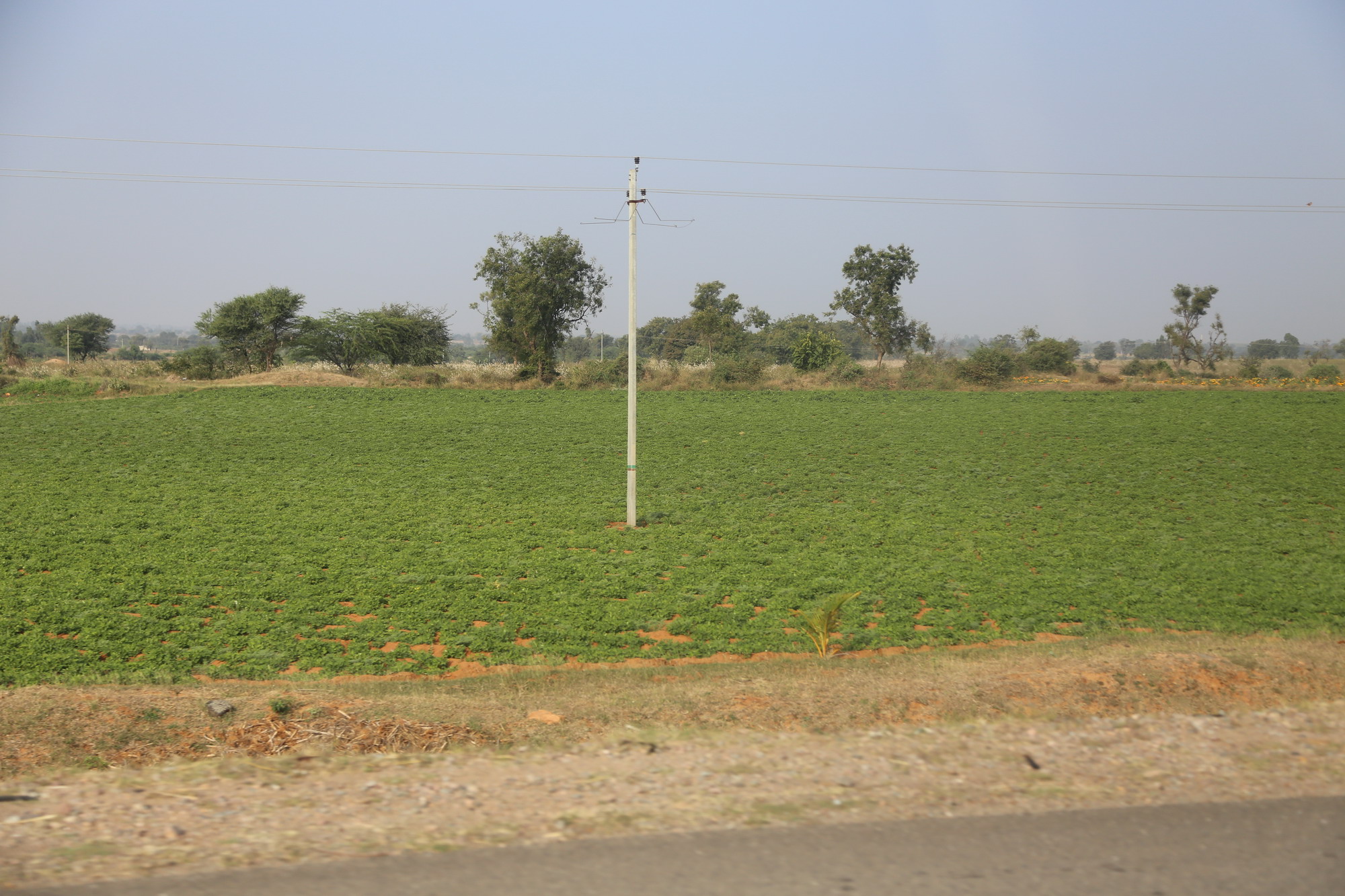
IMG_0877
IMG_0869
IMG_0872
Fakirrappa Karadkal
Topographic Map of Koppal, Karnataka, India
Find elevation by address:

Places in Koppal, Karnataka, India:
Places near Koppal, Karnataka, India:
Kushtagi
Yelburga
Hungund
Raichur
Sindhanur
Muddebihal
Marlamadiki
Talikoti
Gajjehalli
Holagunda
Sammathagiri
Vandavagili
Chinnahyta
Bapuram
Ellarthi
Ingaladahal
Basavana Bagewadi
Pedda Gonehal
Lingadahalli
Hebbatam
Recent Searches:
- Elevation of Spaceport America, Co Rd A, Truth or Consequences, NM, USA
- Elevation of Warwick, RI, USA
- Elevation of Fern Rd, Whitmore, CA, USA
- Elevation of 62 Abbey St, Marshfield, MA, USA
- Elevation of Fernwood, Bradenton, FL, USA
- Elevation of Felindre, Swansea SA5 7LU, UK
- Elevation of Leyte Industrial Development Estate, Isabel, Leyte, Philippines
- Elevation of W Granada St, Tampa, FL, USA
- Elevation of Pykes Down, Ivybridge PL21 0BY, UK
- Elevation of Jalan Senandin, Lutong, Miri, Sarawak, Malaysia