Elevation of Quest Rd, Harding, MN, USA
Location: United States > Minnesota > Morrison County >
Longitude: -94.038928
Latitude: 46.1145413
Elevation: 380m / 1247feet
Barometric Pressure: 97KPa
Elevation Map:
Satellite Map:
Related Photos:
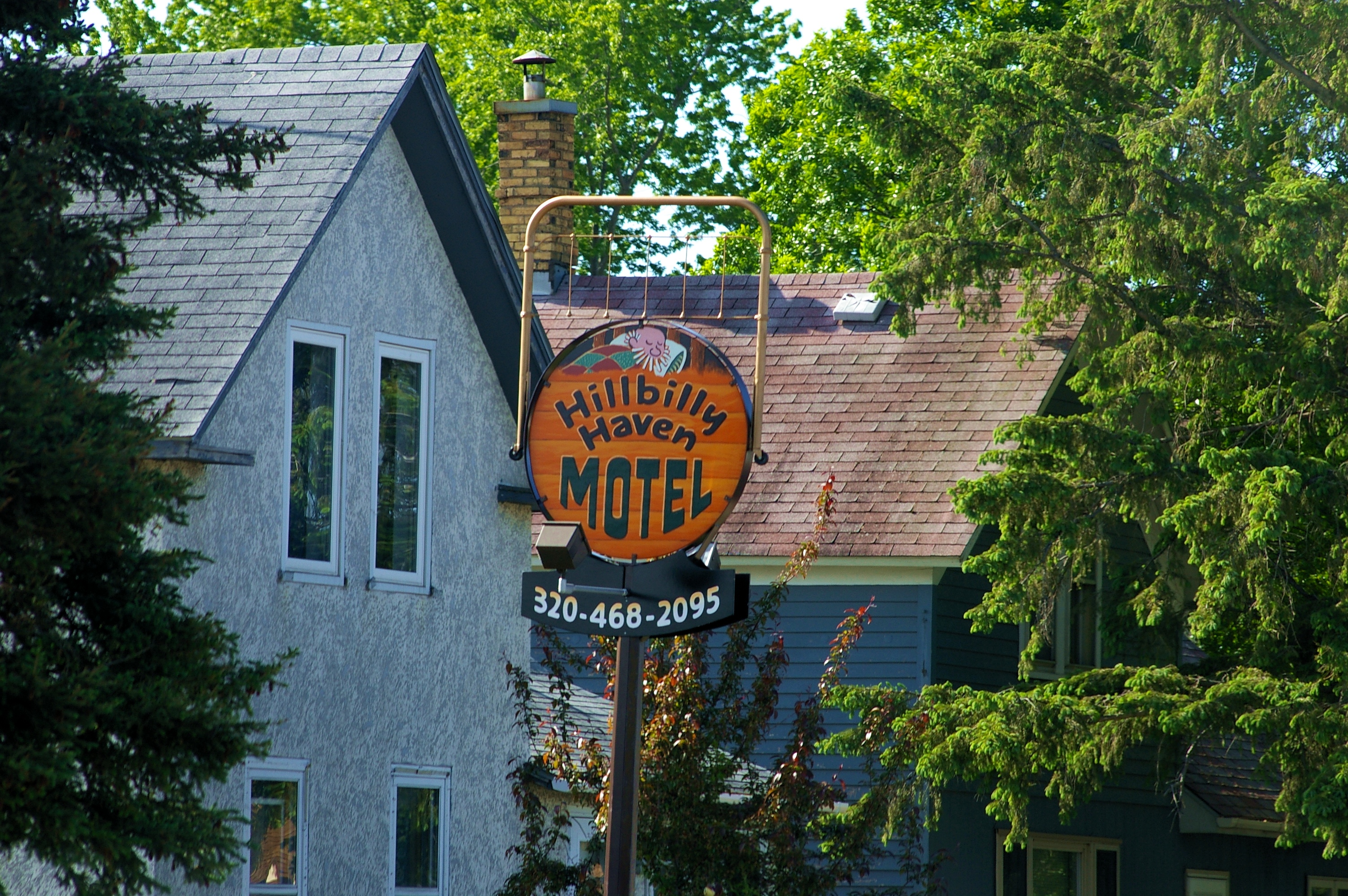
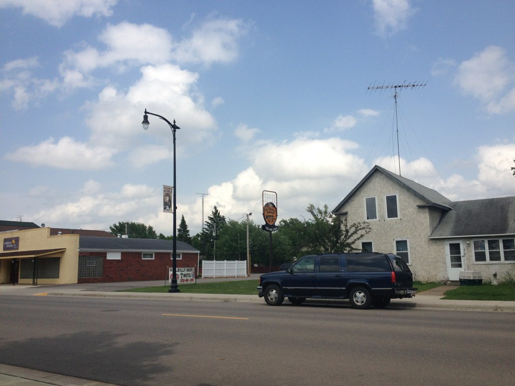
Hillbilly Haven Motel

2013-10-03 13.00.11

Lively Sky
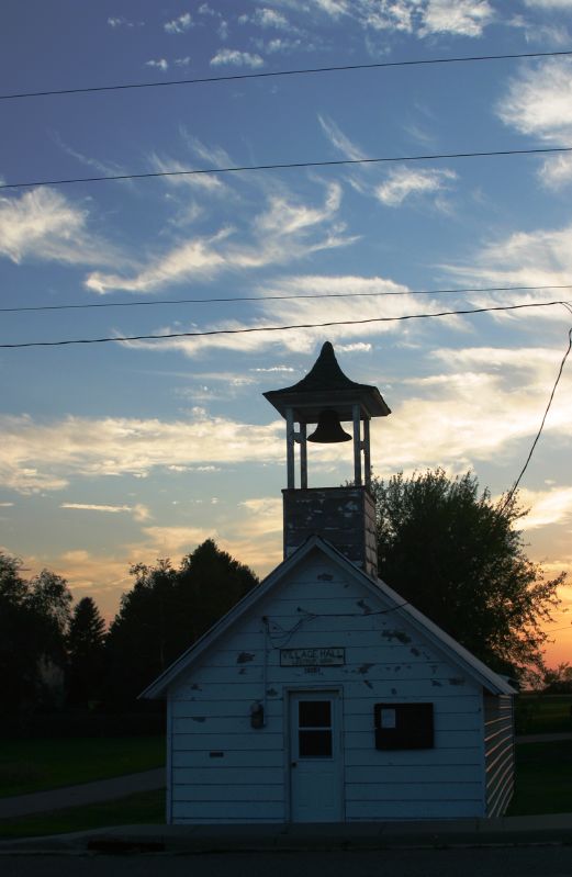
Lastrup, MN, City Hall

Cow on a Hill
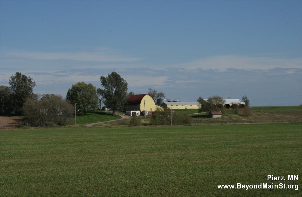
Pierz, MN
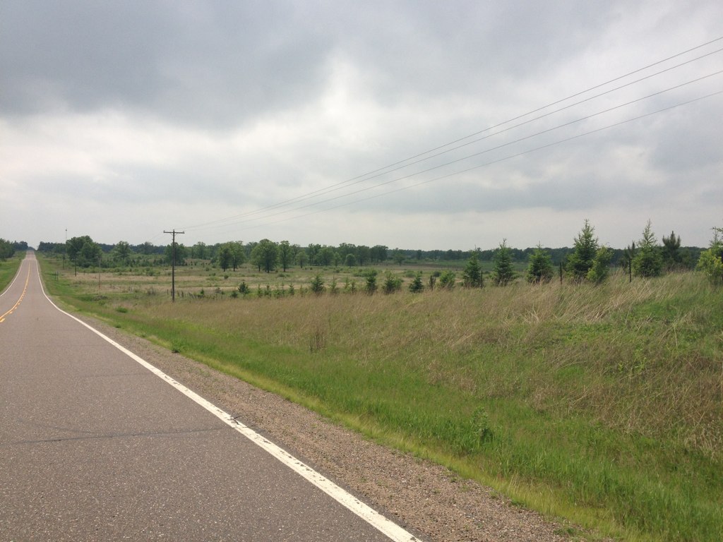
A Road and Clouds
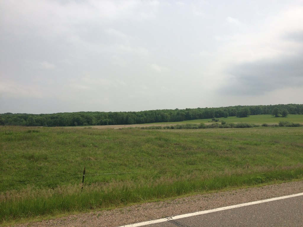
A Road and Clouds
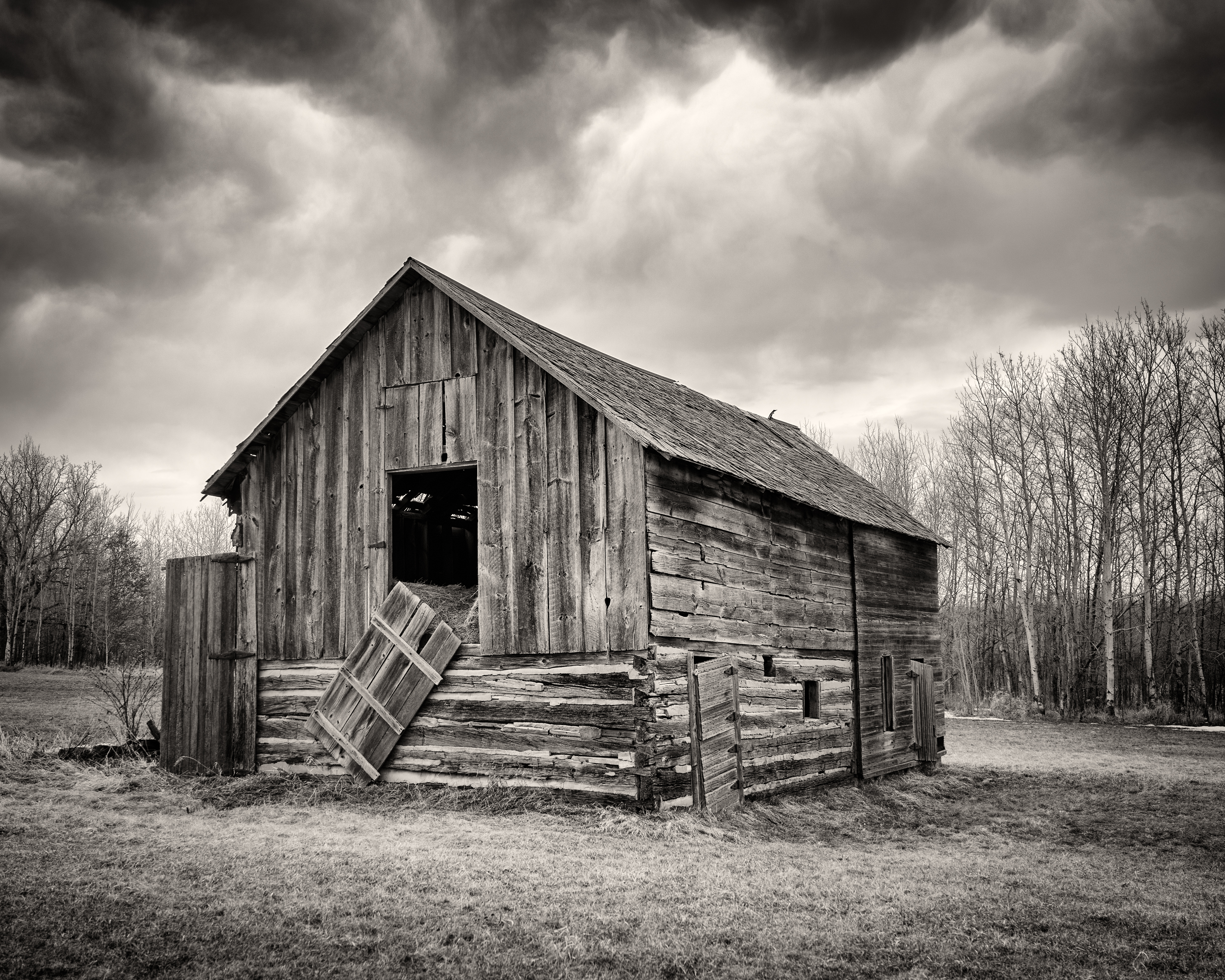
Old Barn

Spring Thaw

Nothing like early morning road trip to assist on location shoot. #photography #assisting #roadtrip #minnesota #photoassistant @jjshoots @rickharing

Visitor Meanwhile

Quick nap

Besökare Samtidigt

2013-10-03 17.24.05

2013-10-03 13.00.28

2013-10-03 13.00.23

2013-10-03 13.00.17

Tiger Lily
Small town MN
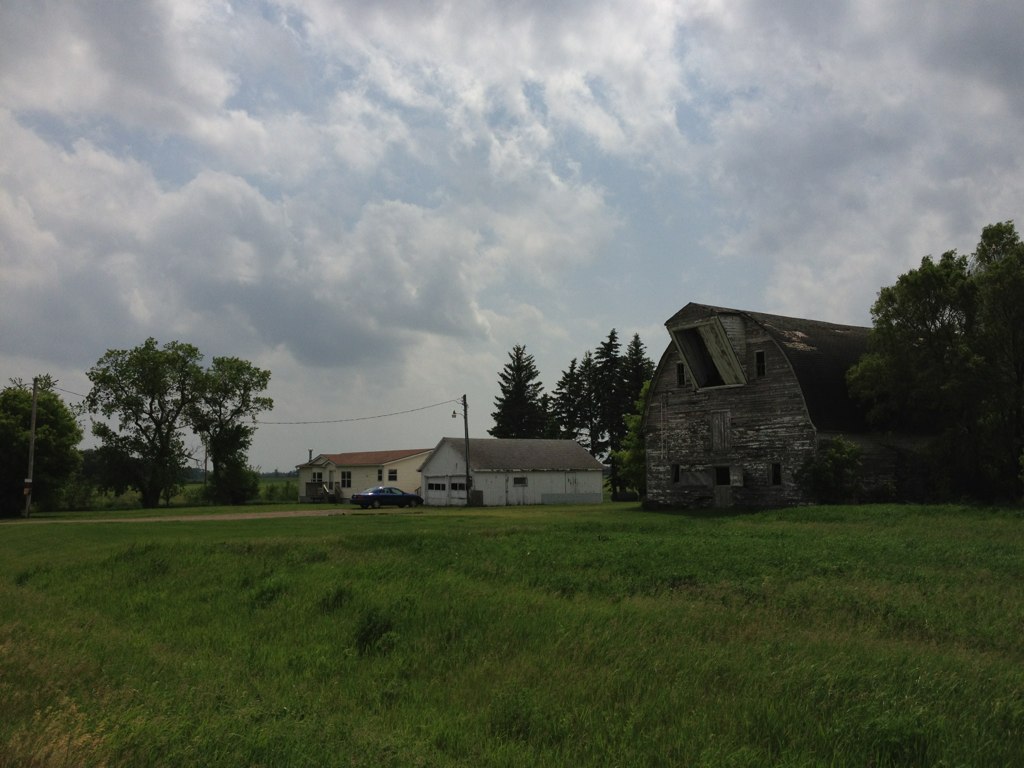
Strange Barn

The Smallest Town Hall
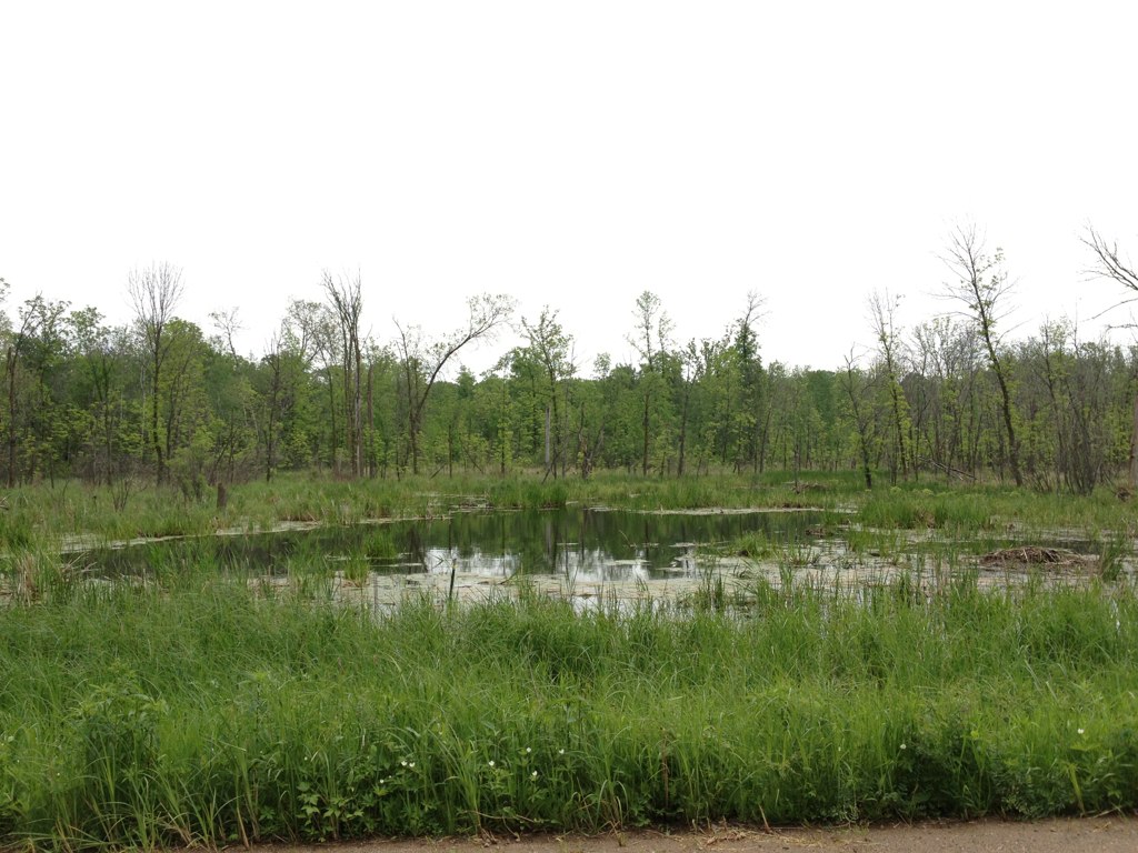
A Watering Hole
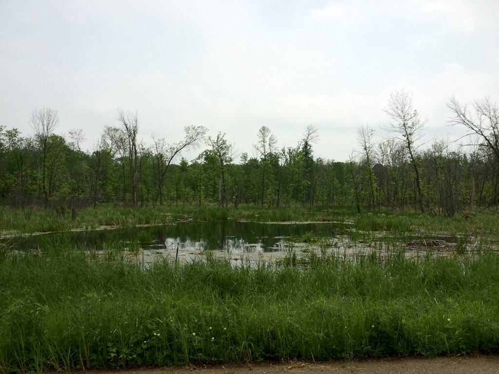
A Watering Hole and Clouds

Making a wish in the wood :: on a nature walk with Grandpa, @mcdevins & Linda!
Topographic Map of Quest Rd, Harding, MN, USA
Find elevation by address:

Places near Quest Rd, Harding, MN, USA:
Platte Lake Township
Sunrise Drive
3633 145th Ave Se
Morrison County
Central St, Garrison, MN, USA
923 S 10th St
th Ave, Foley, MN, USA
Brainerd
100 Washington St
303 W Washington St
16400 Ahrens Hill Cir
16417 Ahrens Hill Cir
16399 Ahrens Hill Cir
MN-18, Aitkin, MN, USA
th St NE, Foley, MN, USA
Alberta Township
Pine Rd NE, Foley, MN, USA
Main St, Onamia, MN, USA
Gilman
th St NE, Foley, MN, USA
Recent Searches:
- Elevation of Congressional Dr, Stevensville, MD, USA
- Elevation of Bellview Rd, McLean, VA, USA
- Elevation of Stage Island Rd, Chatham, MA, USA
- Elevation of Shibuya Scramble Crossing, 21 Udagawacho, Shibuya City, Tokyo -, Japan
- Elevation of Jadagoniai, Kaunas District Municipality, Lithuania
- Elevation of Pagonija rock, Kranto 7-oji g. 8"N, Kaunas, Lithuania
- Elevation of Co Rd 87, Jamestown, CO, USA
- Elevation of Tenjo, Cundinamarca, Colombia
- Elevation of Côte-des-Neiges, Montreal, QC H4A 3J6, Canada
- Elevation of Bobcat Dr, Helena, MT, USA