Elevation of Main St, Onamia, MN, USA
Location: United States > Minnesota > Mille Lacs County >
Longitude: -93.667252
Latitude: 46.0705358
Elevation: 379m / 1243feet
Barometric Pressure: 97KPa
Elevation Map:
Satellite Map:
Related Photos:

Old US 169

Buckmore Dam on Rum River

Fire Tower
PA220371.JPG
PA220363.JPG
PA220368.JPG
PA220383.JPG

Lets take off.

Fly Away

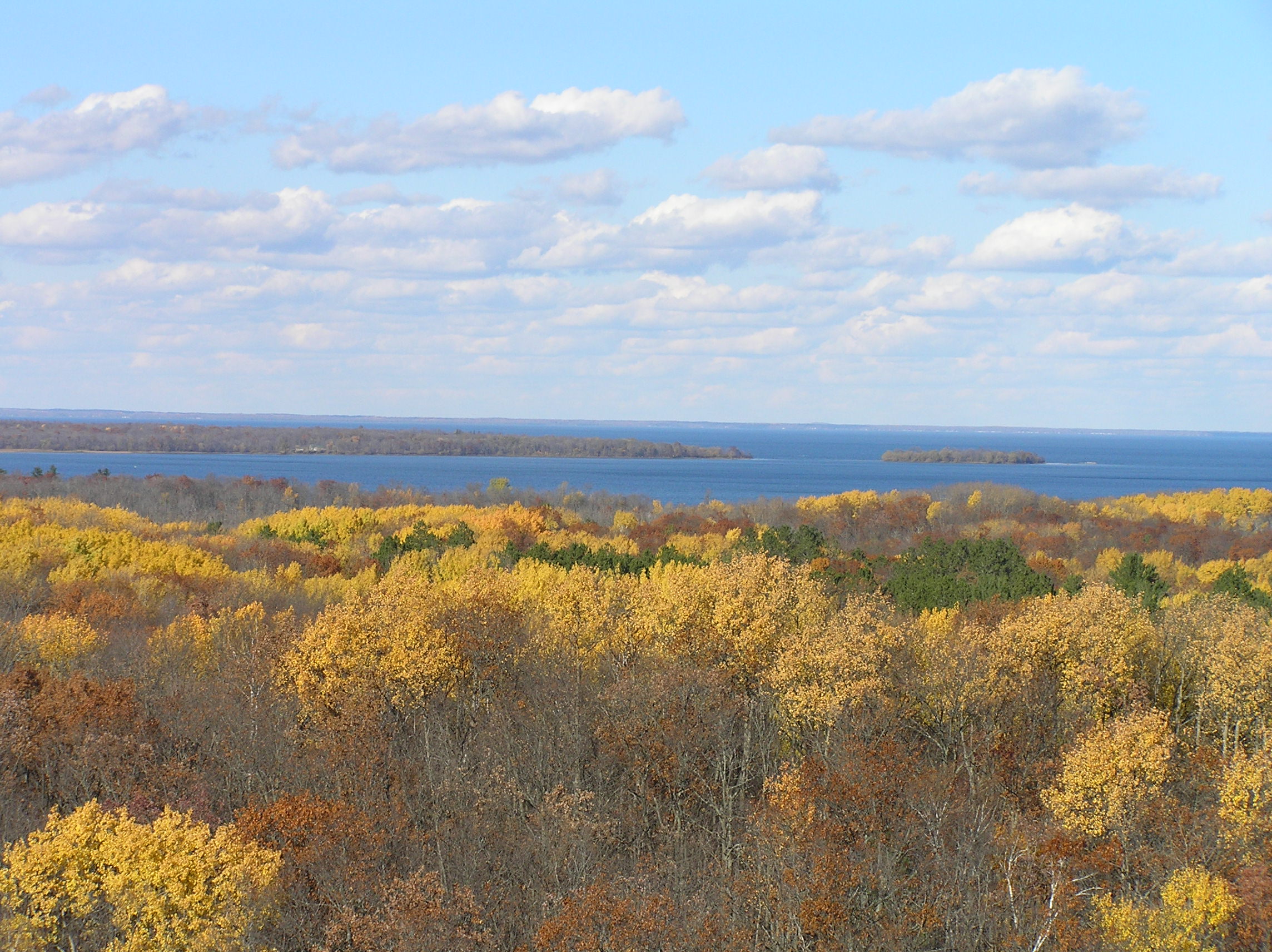
Mille Lacs Peninsula
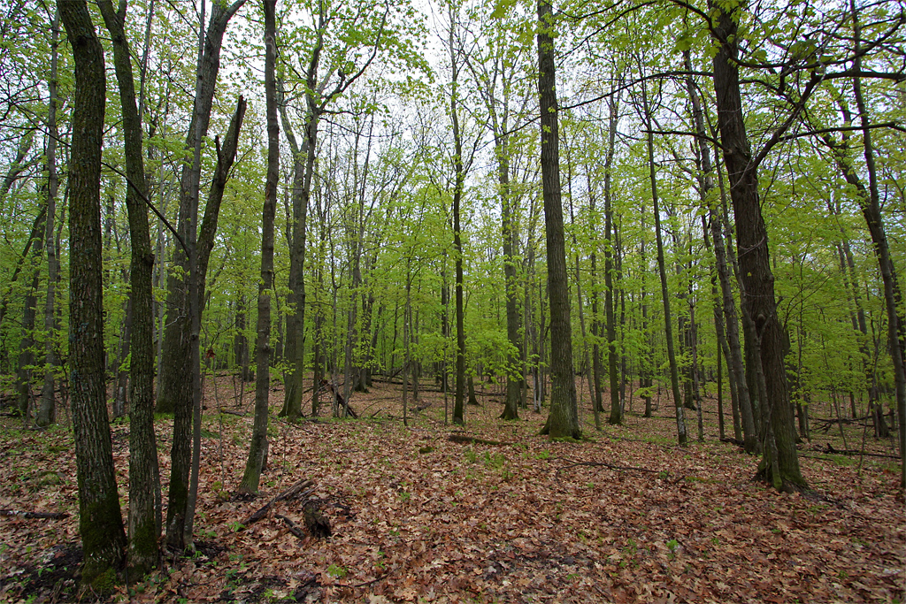
Spring Forest
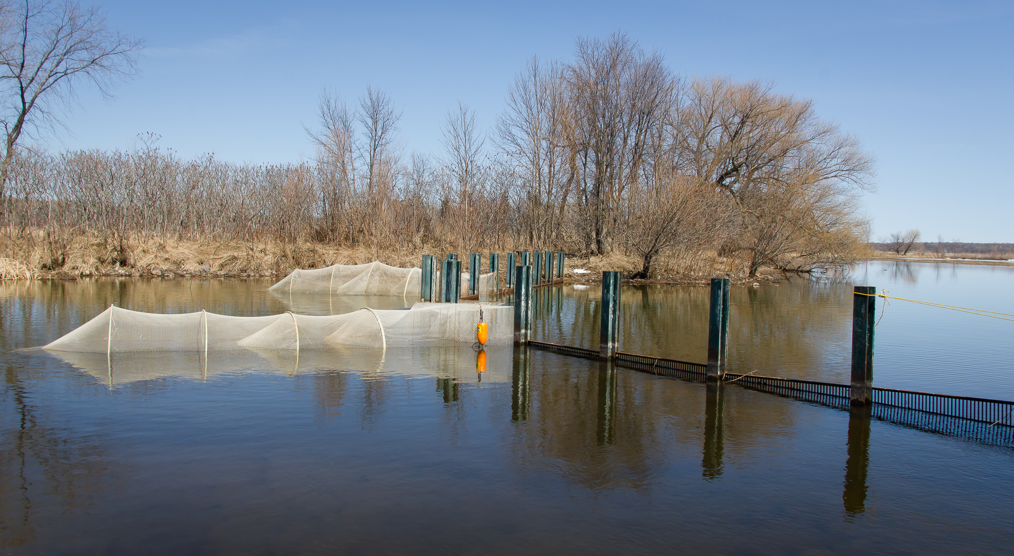
Rum River Fish Nets

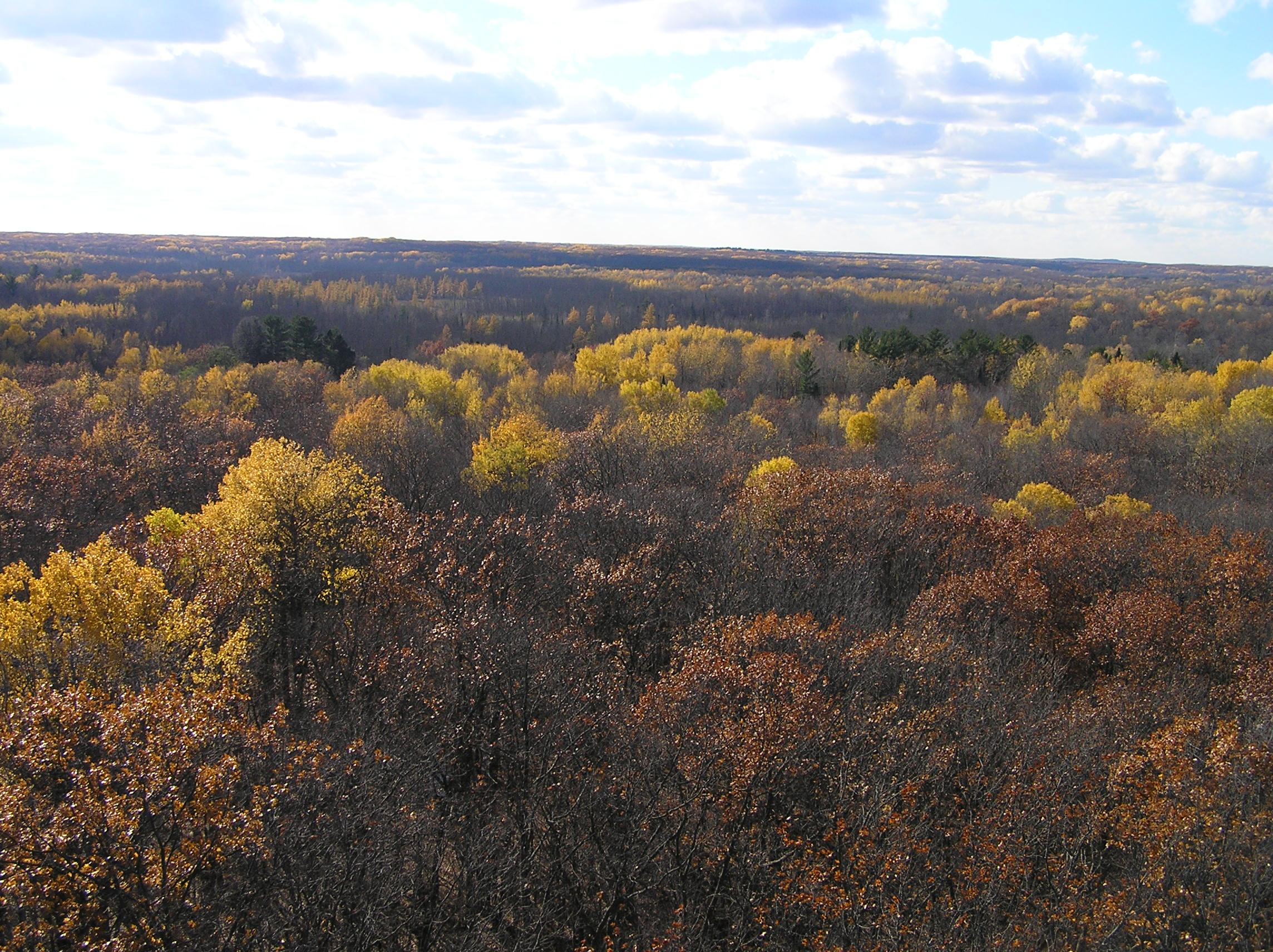
Fall Color Path

Sunset Ducks

Mille lacs New Dam

Mille Lacs Lake

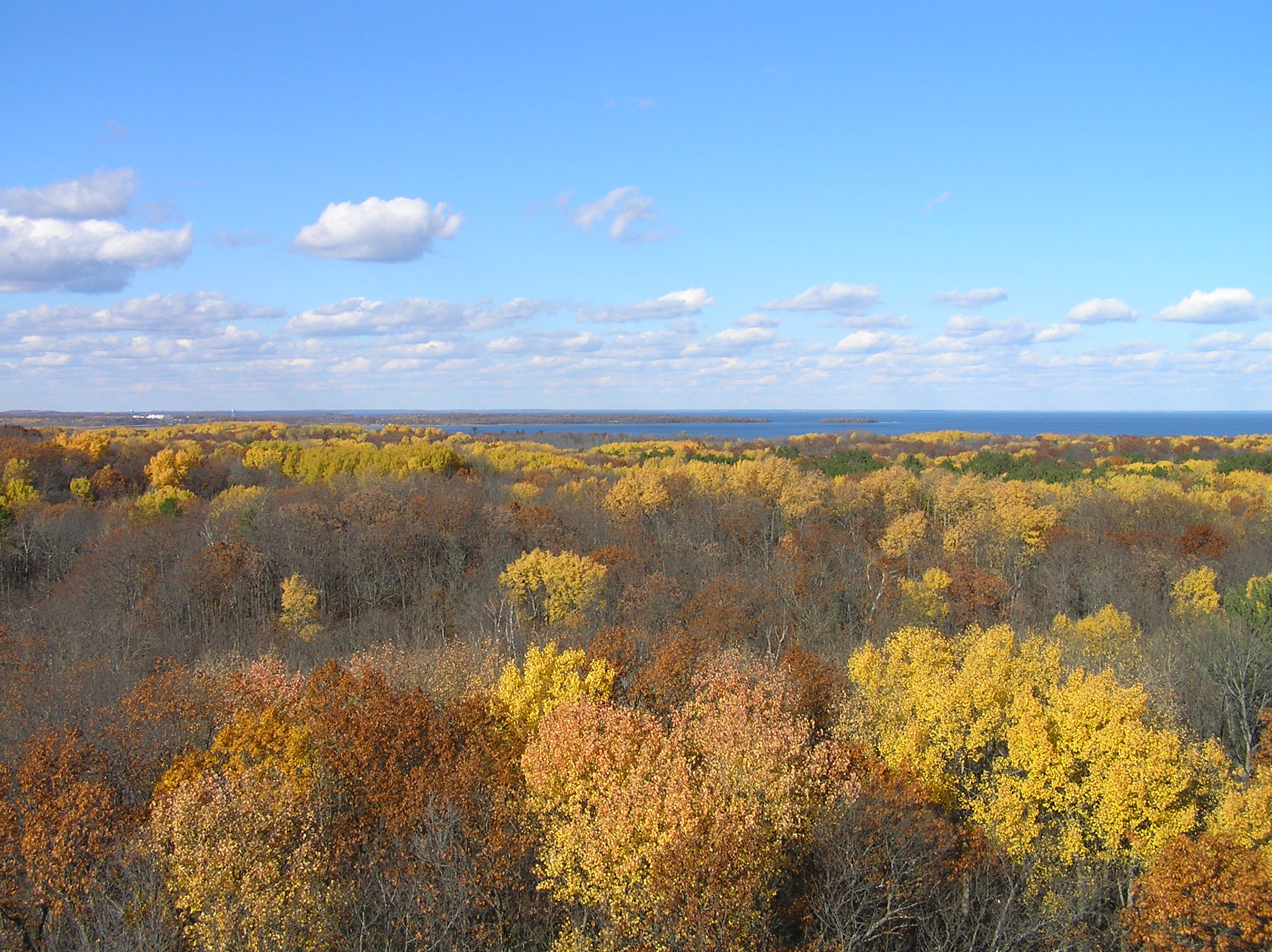
Autumn colors

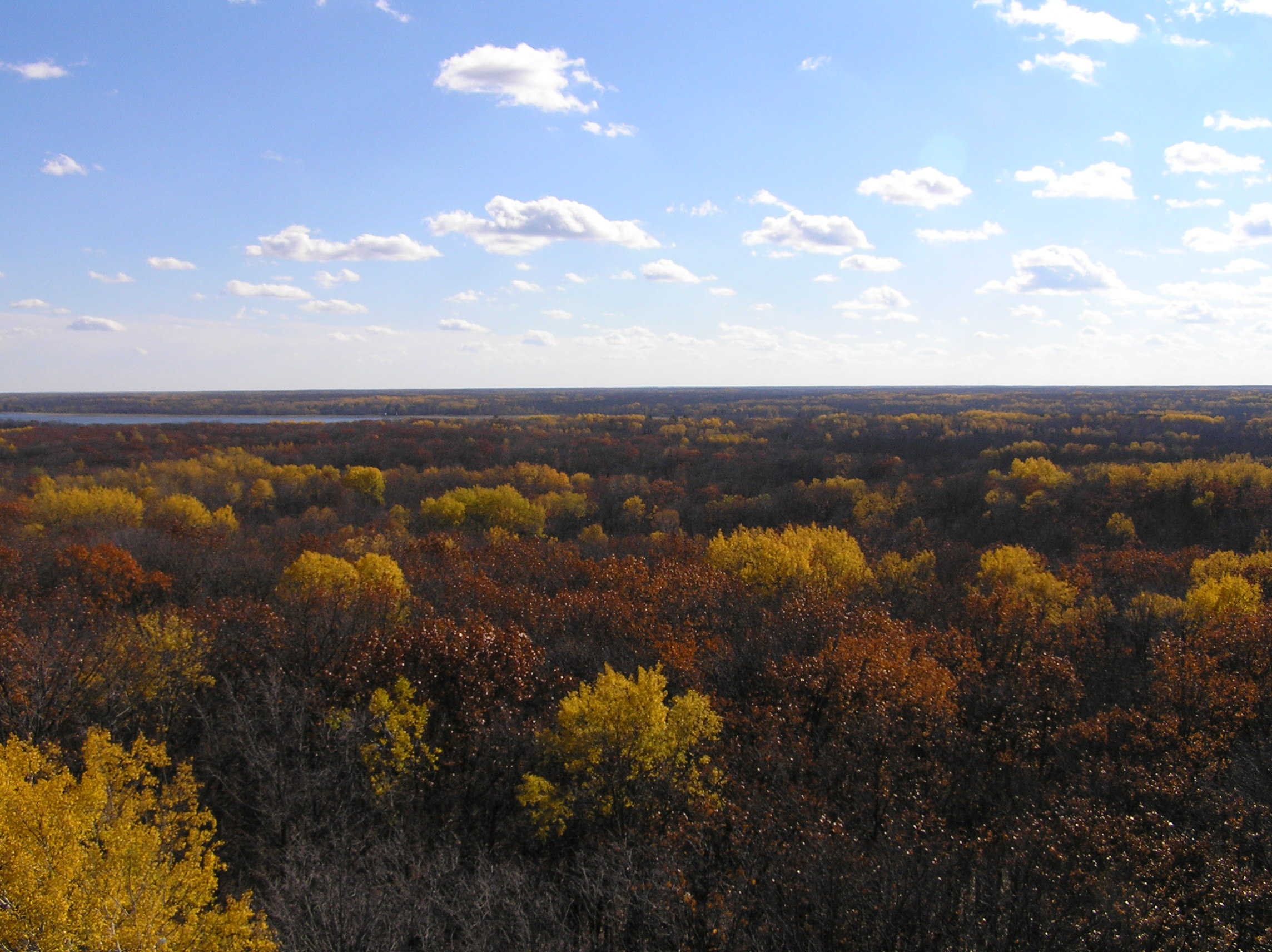
Autumn colors

Ogechie Lake

Lake Ogechie

Hiking trail

Campsite 15

Gull, you'll be a woman soon #millelacs

Lake Ogechie

Campsite 15

Rum River Public Access
Topographic Map of Main St, Onamia, MN, USA
Find elevation by address:

Places near Main St, Onamia, MN, USA:
Mille Lacs County
W Main St, Isle, MN, USA
Central St, Garrison, MN, USA
310th Avenue
MN-18, Aitkin, MN, USA
Sunrise Drive
Lakeside Township
3rd Ave NW, Milaca, MN, USA
Milaca
1545 200th Ave
Ogilvie City Offices
th St NE, Foley, MN, USA
Platte Lake Township
Quest Rd, Harding, MN, USA
Arthur Township
th Ave, Foley, MN, USA
Morrison County
Pine Rd NE, Foley, MN, USA
Kanabec County
Alberta Township
Recent Searches:
- Elevation of Vista Blvd, Sparks, NV, USA
- Elevation of 15th Ave SE, St. Petersburg, FL, USA
- Elevation of Beall Road, Beall Rd, Florida, USA
- Elevation of Leguwa, Nepal
- Elevation of County Rd, Enterprise, AL, USA
- Elevation of Kolchuginsky District, Vladimir Oblast, Russia
- Elevation of Shustino, Vladimir Oblast, Russia
- Elevation of Lampiasi St, Sarasota, FL, USA
- Elevation of Elwyn Dr, Roanoke Rapids, NC, USA
- Elevation of Congressional Dr, Stevensville, MD, USA