Elevation of Quarry Cir, Ashland, NE, USA

Location: United States > Nebraska > Saunders County > Ashland > Ashland >

Longitude: -96.344987

Latitude: 41.0455563

Elevation: 346m / 1135feet

Barometric Pressure: 97KPa

Elevation Map:

elevation map of Quarry Cir, Ashland, NE, USA

Satellite Map:

Satellite map of Quarry Cir, Ashland, NE, USA

Related Photos:

blue red summer orange usa white black museum canon eos nebraska unitedstates airforce usaf ashland 2009 blackbird pilot sr71 sr71blackbird flightsuit strategicairandspacemuseum habu gowest 50d pressuresuit sr71a efs1755mmf28isusm craigsorenson july31stthroughaugust16th leeshelton majorleeshelton
Habu Pressure Suit
israel nebraska historical mansion schoolhouse ashland blackwhitephotos beetison
Israel Beetison mansion
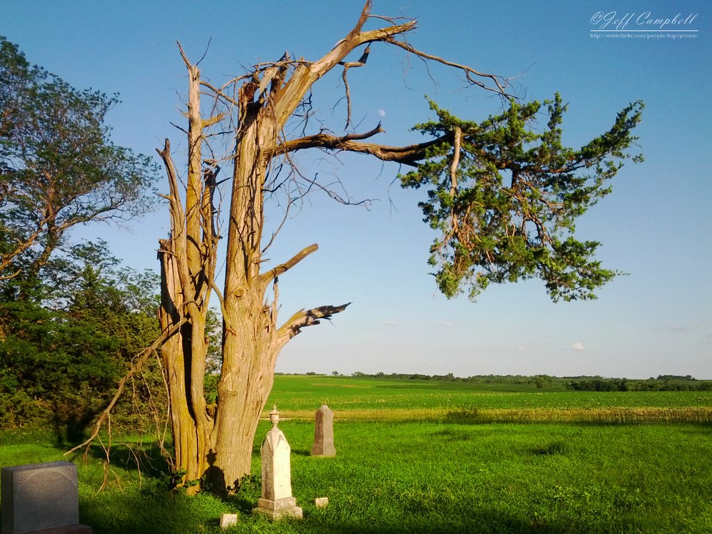
outdoorscenery
Snowy Church
outdoorscenery
First Snow
winter sky church architecture canon eos site nebraska catholic view scenic chapel ne gretna retreat 7d meetings hdr facilities gatewaytoheaven holyfamilyshrine canon7d january2011 don3rdse mygearandme mygearandmepremium mygearandmebronze 3rdsiblingphotography
Gateway to Heaven ~ Explore 01/06/2012
sunset red orange apple colors sunrise countryside nebraska glow view country flare iphone snapseed
at first blush
sunrise haze nebraska glow platteriver eugenetmahoneystatepark
River View at Sunrise
camping spring nebraska calm goslings canadageese rvs motorhomes flowrbx excellentphotographerawards 20080503 louisvillesra minwalk20080503 miniwalkswkeith
Families were out enjoying the day.
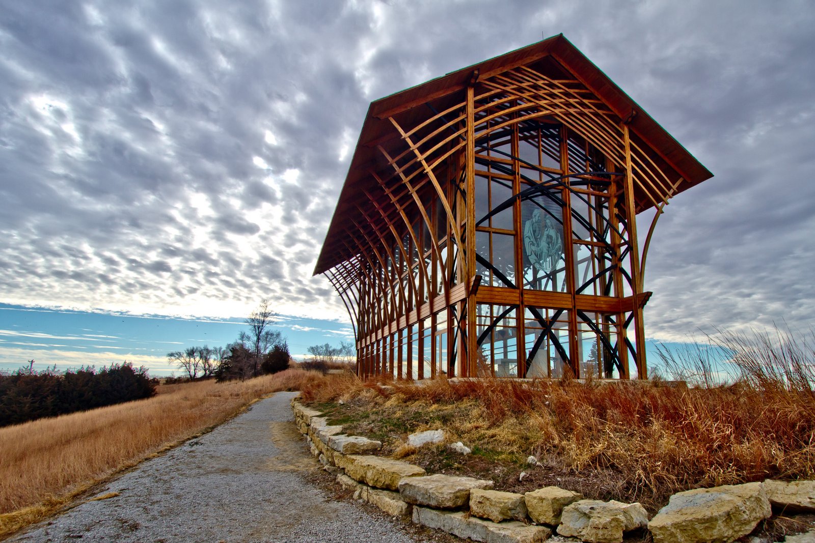
canon geotagged nebraska aerialview aerial ne aerialshot
Holy Family Shrine
blue summer sky usa white black canon eos nebraska unitedstates fb nasa research rocket airforce usaf ashland 2009 slv hets guided strategicairandspacemuseum gowest launchvehicle payload 50d sooc bluescout efs1755mmf28isusm craigsorenson july31stthroughaugust16th slv1a standardlaunchvehicle fourstage hypersonicenviromentaltestsystem solidpropellant ltvaerospacecorporation
Blue Scout
window albaluminis sac photowalk flowrbx flickmeetup lincolnflickr nebraskaflickr Upcoming:event=143902 strategicairspacemuseum
Strategically placed sun @ Strategic Space & Air Museum
rare old vintage antique aircooled iphoneography iphoneographer iphonology iphoneology nebraska louisville omahavolkswagenclub omahavwclub omaha backside rearview rearwindscreen rearwindow ovwc vw showandshine carshow volkswagon volkswagen beetle bug splitwindow
Split Window Beetle - Omaha Volkswagen Club Show and Shine
rural forest river landscape nebraska view riverview platteriver platteriverstatepark nebraskastateparks flickrandroidapp:filter=none
Platte River Overlook
sac photowalk flickrites flowrbx lincolnflickr nebraskaflickr upcoming:event=143902 strategicairspacemuseum
The gang's (almost) all here!
canon nebraska aerialview aerial aerialshot nebraskane
Spring plowing
house history israel nebraska mansion ashland eakins beetison 101608
Cellar Jars
house history israel nebraska mansion ashland eakins beetison 101608
The Israel Beetison House
lights nebraska buttons sac silo missilecommand missile knobs usaf switches ashland dials controlpanel nuclearwar icbm unitedstatesairforce strategicairandspacemuseum strategicaircommand solidstate missilesilo toggleswitches seniorcontroller airplanetrainer
silo system status
bear animal zoo nebraska omaha claws omahazoo blackbear wildlifesafari canoneos30d
Black Bear, Hungry Bear!
reflection night downtown ky indiana louisville ohioriver purplelights secondstreetbridge
2nd Street Bridge
canon geotagged nebraska aerialview aerial ne aerialshot
Platte River
trees dock sunrise plants eugenetmahoney water reflection lake 2016 mahoneystatepark nebraska clouds ashland unitedstates us
Nebraska October Sunrise 5
moon tree nature cemetery evening flora nebraska headstones farmland graves smartphone frame framing lunar android crooked hoohaa52 galaxynexus hh52y325 gc943
Crooked Tree
nebraska minolta i80 restarea 2010 melia interstate80 meliahill
Scenic View 2 - Melia Hill Rest Area, Nebraska
nebraska insecta schrammpark photographerjaycossey sarpyco
Pearl Crescents (Phyciodes tharos) almost mating R4250 Omaha, Nebraska PFN
red trees october reflection sunrise sony blue eugenetmahoney water stars lake a77 2016 mahoneystatepark nebraska clouds ashland unitedstates us
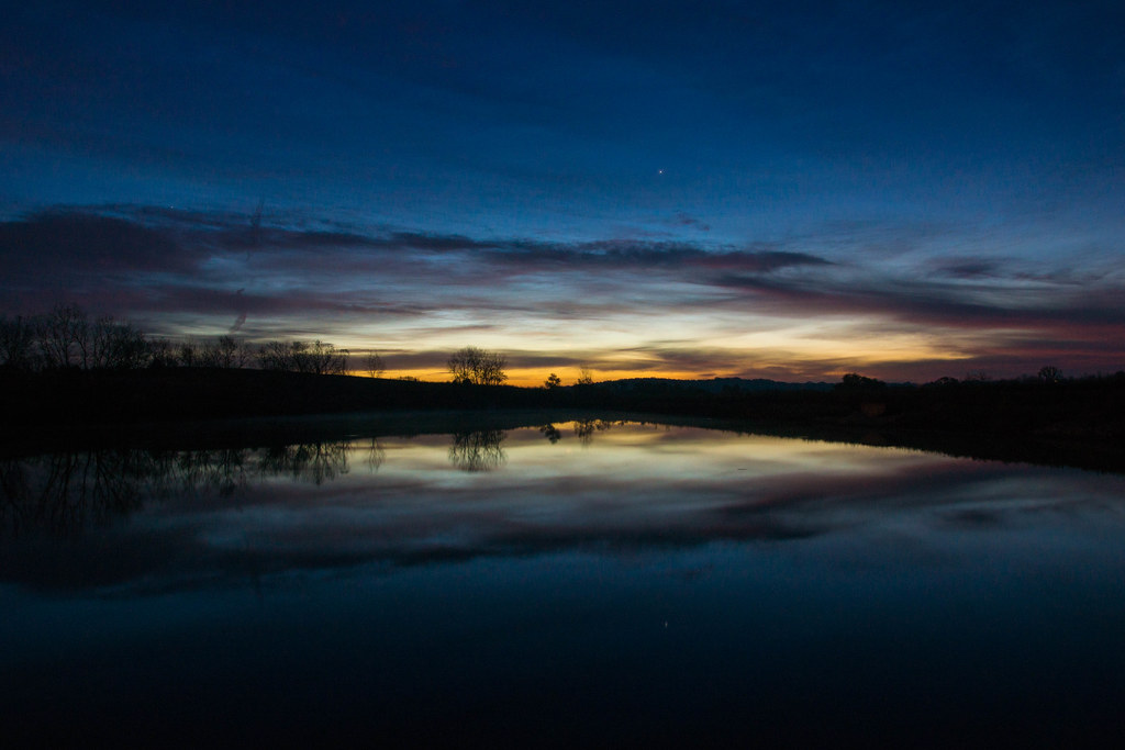
Nebraska October Sunrise 2
autumn fall laughlinc lightroom louisville nature nebraska neutraldensityfilter nikon1755mm24 nikond7200 platteriverstatepark statepark waterfall nikon
platte river state park - waterfall
nebraska casscounty na3663a
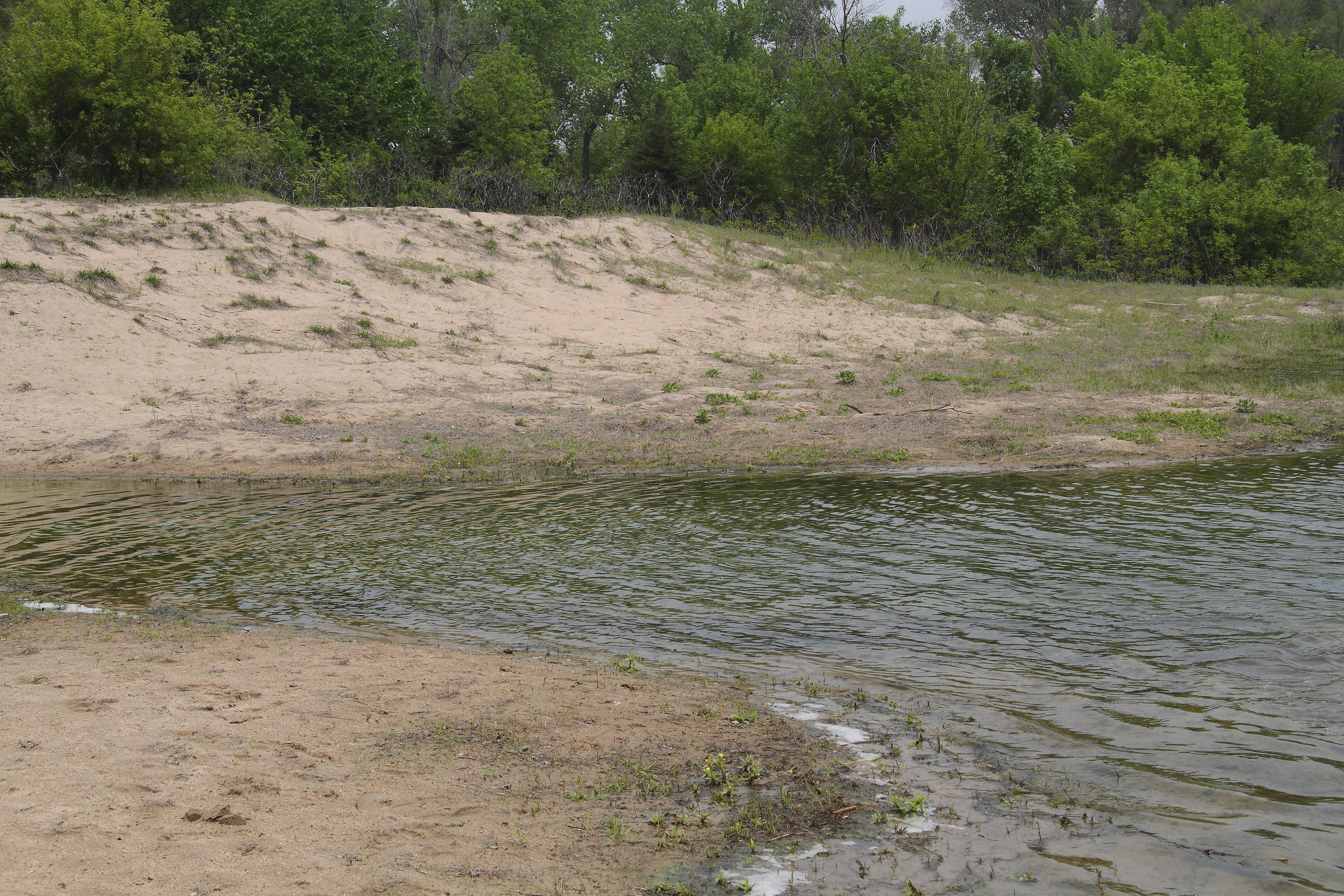
Combo upland sand & beach sand habitat
sunset texture windmill field barn rural beans nebraska widescreen gretna 169 beanfield goldenhour 1755mmf28 nikond80 thechallengefactory laughlinc
barn & windmill
d50 quality 20061001 abigfave miniwalkswkeith
Peaceful giants
buffalo nebraska omaha bison ashland leegsimmonsconservationparkandwildlifesafari
Lee G. Simmons Conservation Park and Wildlife Safari, Ashland, Nebraska
canon buffalo lincoln bison lincolnne 5dmarkii 5d2
North American White Buffalo (2)
waterfall platteriver nebraska omaha june canon rebel xti
Platte River State Park Waterfall
trees duck dock sunrise eugenetmahoney mist reflection lake fog 2016 mahoneystatepark nebraska clouds ashland unitedstates us
Dock at Sunrise 1
Nice BNSF Lash No 2
usa nebraska festivals omaha annual 14th southbend testiclefestival
Middle of no where
nebraska omaha elk ashland leegsimmonsconservationparkandwildlifesafari
Lee G. Simmons Conservation Park and Wildlife Safari, Ashland, Nebraska
church architecture shrine ne gretnanebraska
Gretna, NE Shrine of the Holy Family 14
morning sky clouds sunrise dawn nebraska gretna creativecommons daybreak holyfamilyshrine
Nebraska Sunrise Study