Elevation of Gretna, NE, USA
Location: United States > Nebraska > Sarpy County >
Longitude: -96.243684
Latitude: 41.1404549
Elevation: 391m / 1283feet
Barometric Pressure: 97KPa
Elevation Map:
Satellite Map:
Related Photos:

Sunset (A Worm's-Eye View)

at first blush

River View at Sunrise

Gateway to Heaven ~ Explore 01/06/2012

Habu Pressure Suit
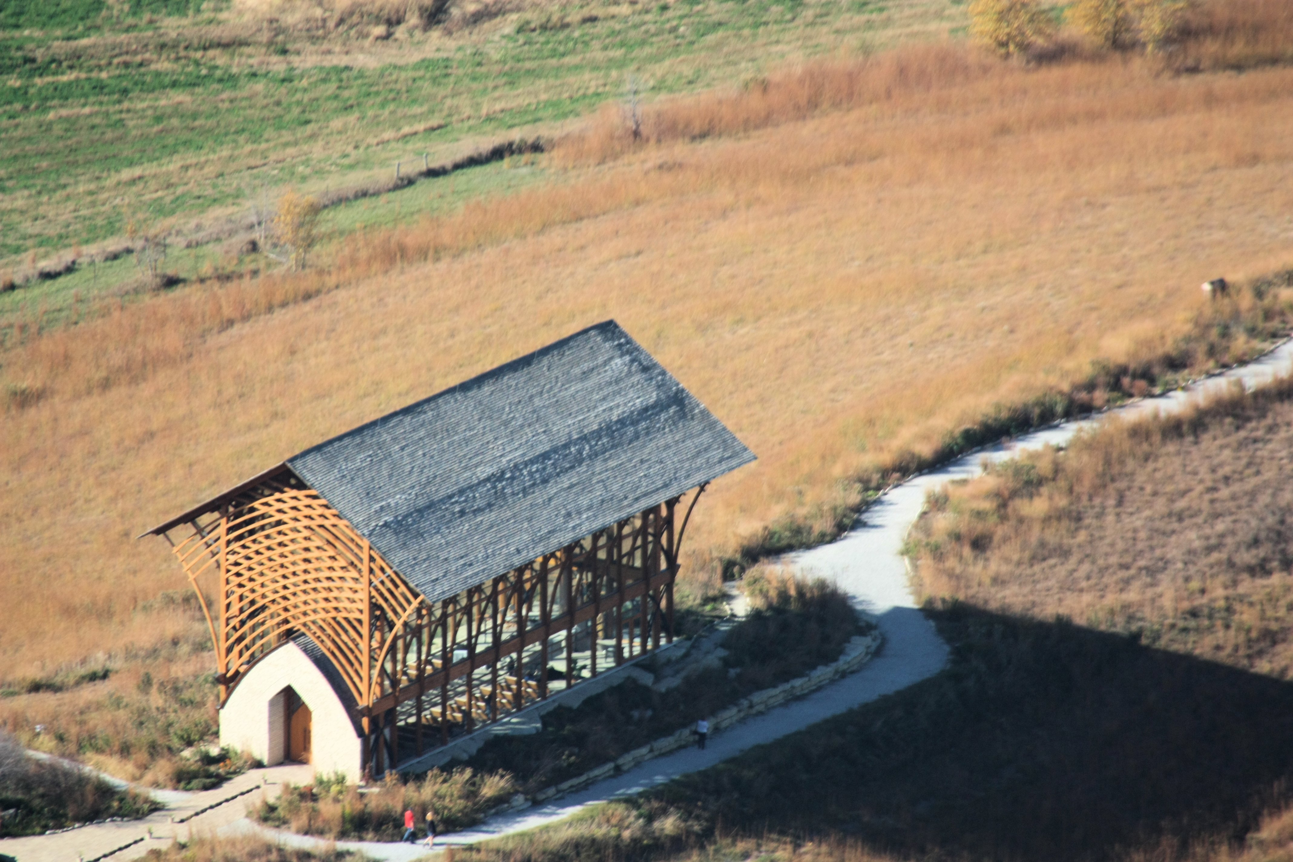
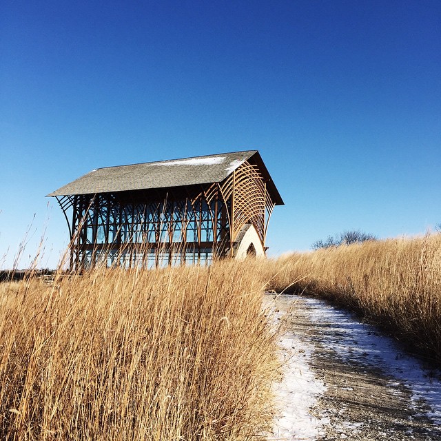
Holy Family Shrine

Strategically placed sun @ Strategic Space & Air Museum
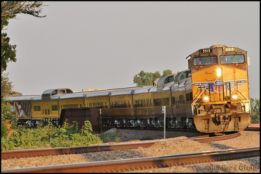
UP 5515 - SCBCY-15 - Millard NE
Blue Scout

Plum Crazy Dodge Charger [right view]

side view of chapel

Black Bear, Hungry Bear!

The gang's (almost) all here!
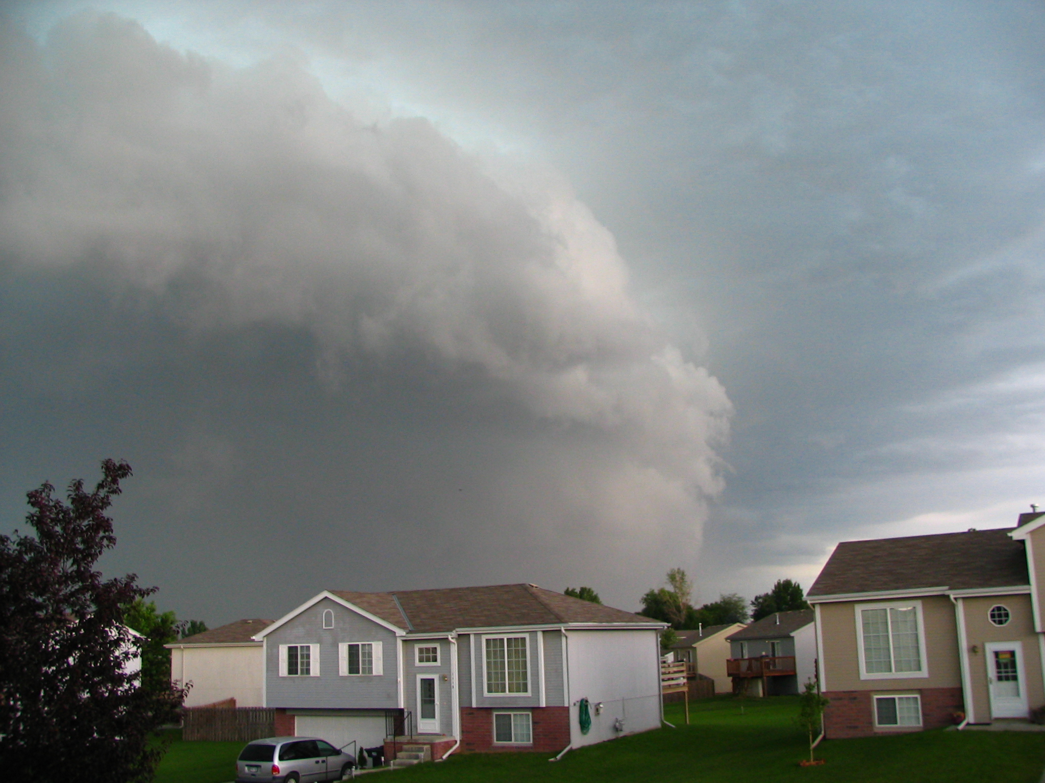
27Jun08 Severe Storm
First Snow

Theta360 in backyard

2nd Street Bridge
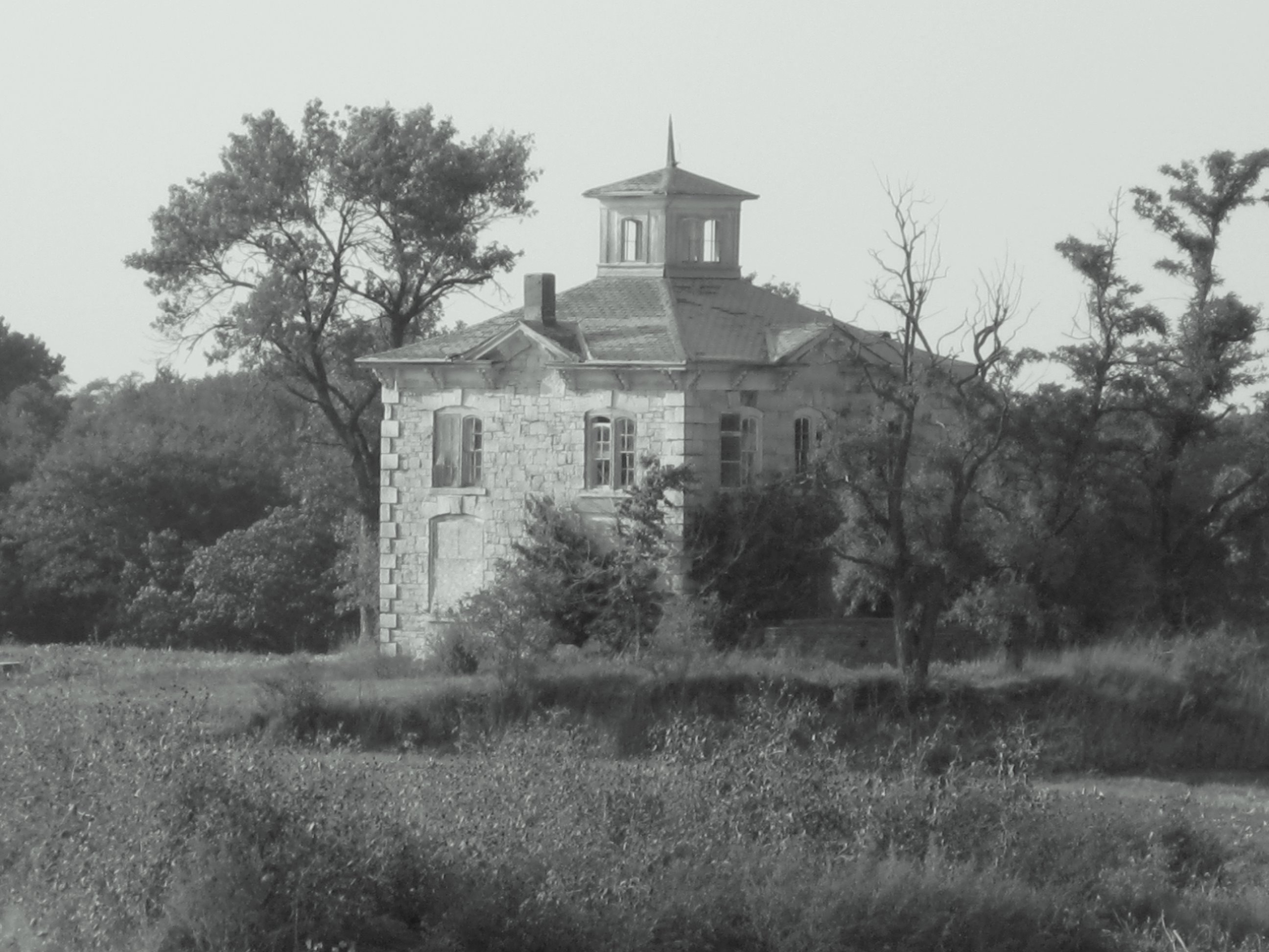
Israel Beetison mansion
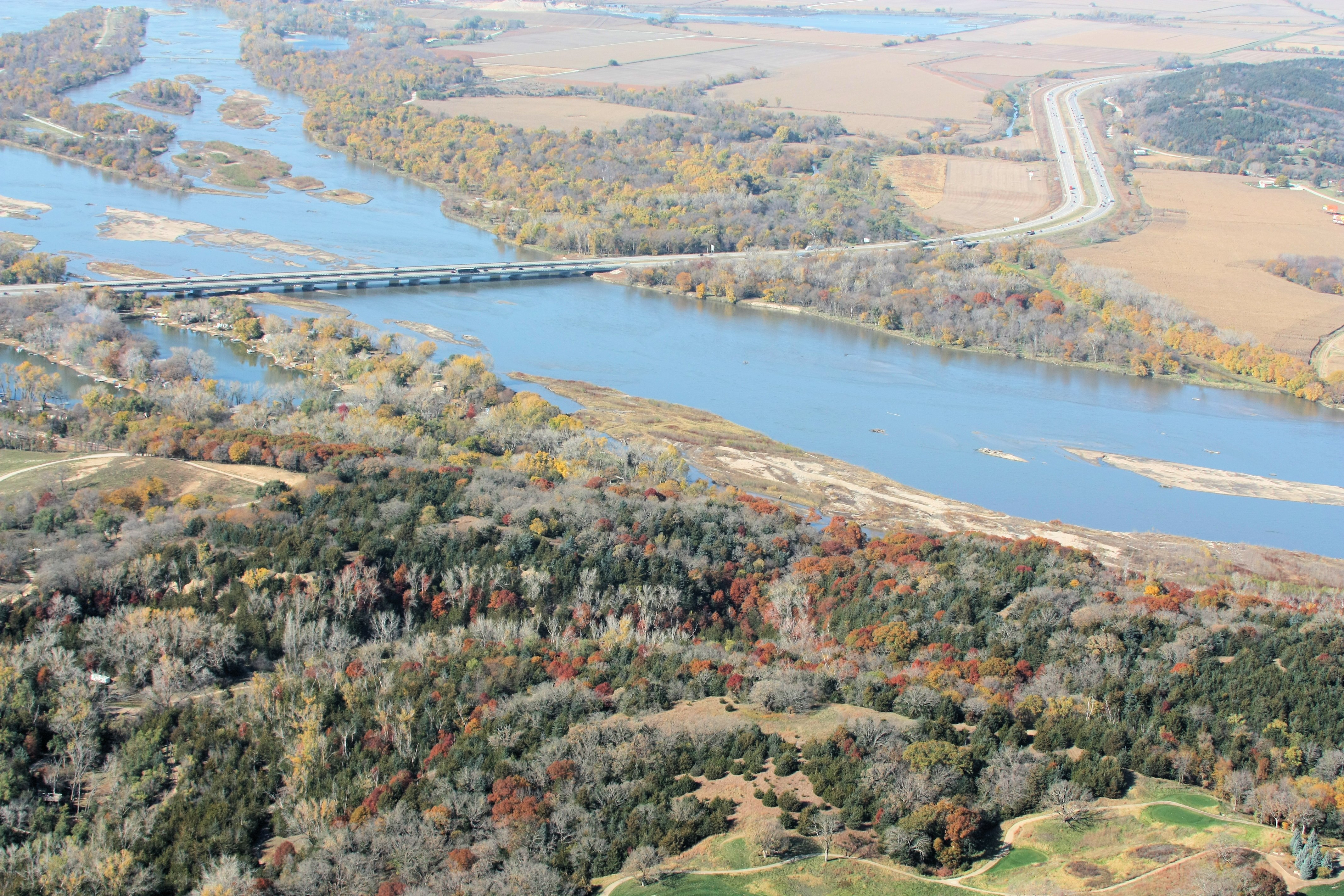
I-80 Platte River Crossing

UP 509 - 144th St Bridge - Millard NE
NE Hwy 6

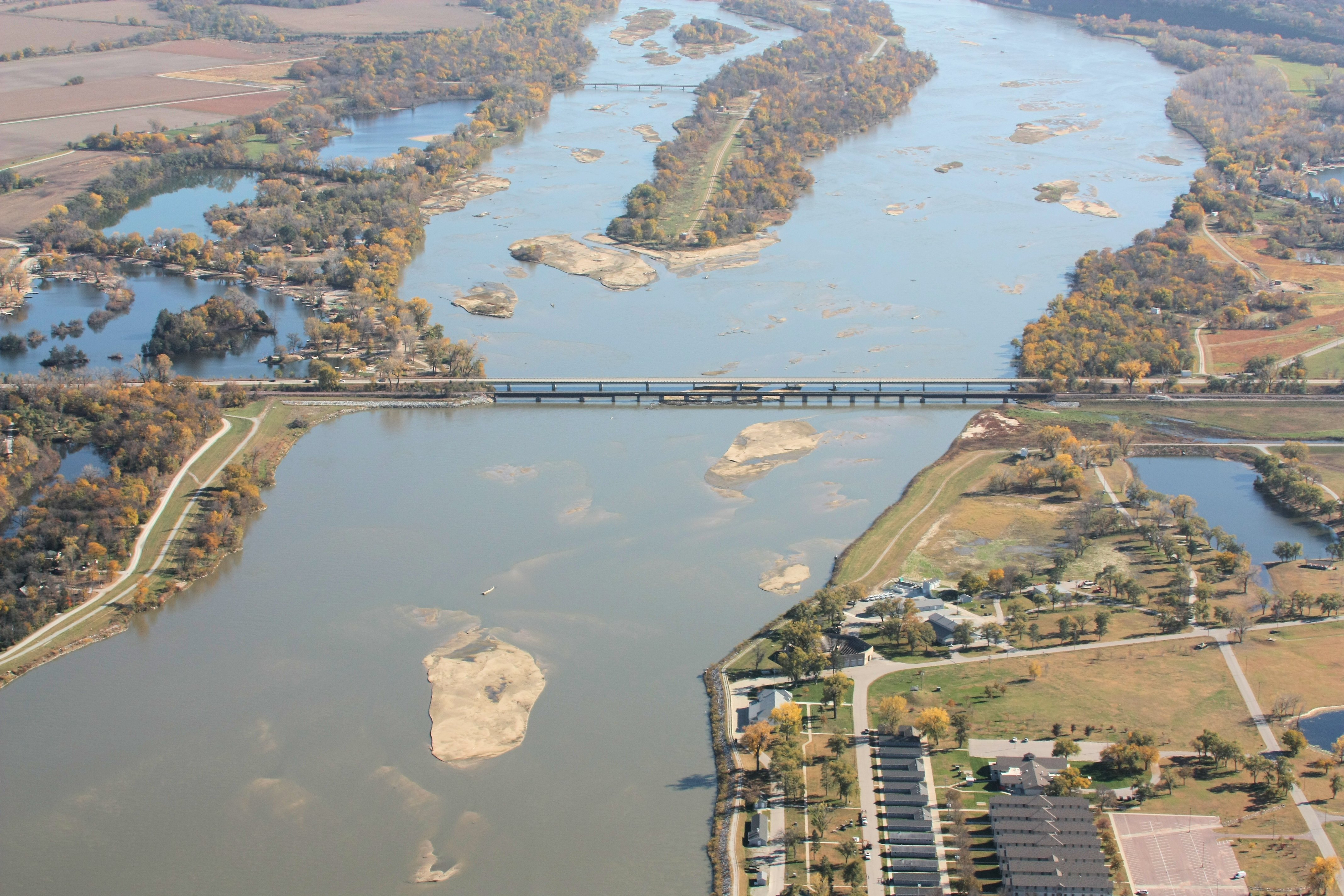
Platte Bleu

Autumn Lane

Flutter By

Singular Surrender

barn & windmill

2011-08-10_20-45-29_619

Gonna Be Rain II

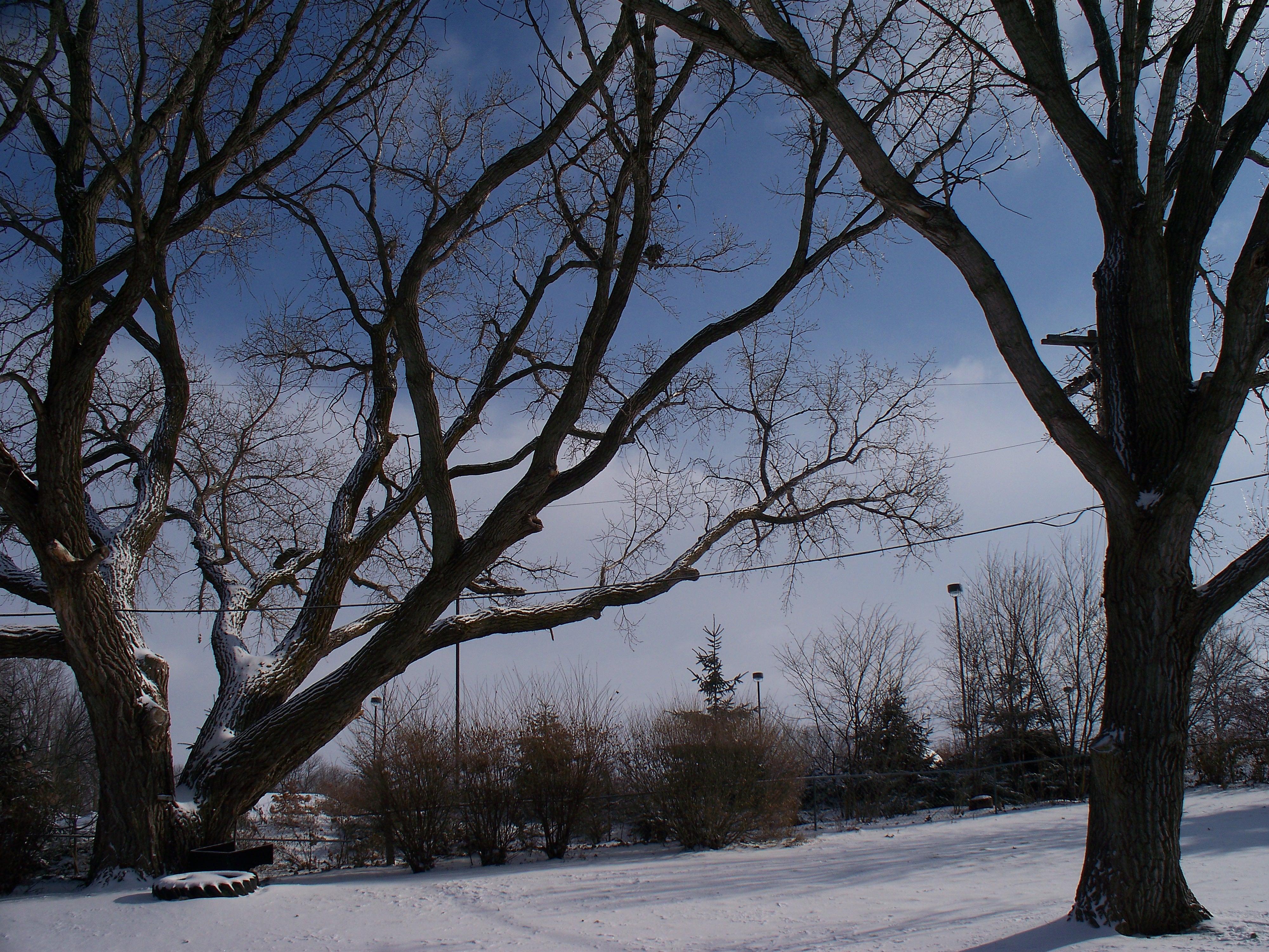
Winter Wonderland

Dairy Farm

Angry Clouds

THE PATH WELL-TRAVELED

Windmill Winterscape

Mahoney Woods

The Good Life

P1000091.JPG

Gonna Be Rain

On the Edge of Night

The Grass Is Always Greener
And I heard from the trees a great parade And I heard from the hills a band was made.
Topographic Map of Gretna, NE, USA
Find elevation by address:

Places in Gretna, NE, USA:
Places near Gretna, NE, USA:
Pontiac Dr, Gretna, NE, USA
22604 Schram Rd
Harrison Park West
6120 S 189th Ave
17010 Centennial Rd
Millard
Richland Viii
16232 Heather St
16216 Heather St
Black Elk Park
15341 Monroe St
Millard
South 144th Street
31520 Arbor St
22020 Pacific St
S th St, Elkhorn, NE, USA
15455 Summerwood Dr
1315 S 178th St
Chicago
Waterloo
Recent Searches:
- Elevation of Corso Fratelli Cairoli, 35, Macerata MC, Italy
- Elevation of Tallevast Rd, Sarasota, FL, USA
- Elevation of 4th St E, Sonoma, CA, USA
- Elevation of Black Hollow Rd, Pennsdale, PA, USA
- Elevation of Oakland Ave, Williamsport, PA, USA
- Elevation of Pedrógão Grande, Portugal
- Elevation of Klee Dr, Martinsburg, WV, USA
- Elevation of Via Roma, Pieranica CR, Italy
- Elevation of Tavkvetili Mountain, Georgia
- Elevation of Hartfords Bluff Cir, Mt Pleasant, SC, USA