Elevation of Quaker Run, Telford, TN, USA
Location: United States > Tennessee > Washington County > Telford >
Longitude: -82.580190
Latitude: 36.2415448
Elevation: 466m / 1529feet
Barometric Pressure: 96KPa
Elevation Map:
Satellite Map:
Related Photos:
2012.10.25.02 Erwin & Unicoi Co

Ebenezer Methodist Church

First Presbyterian Church - Jonesborough, TN

First Presbyterian Church - Jonesborough, TN
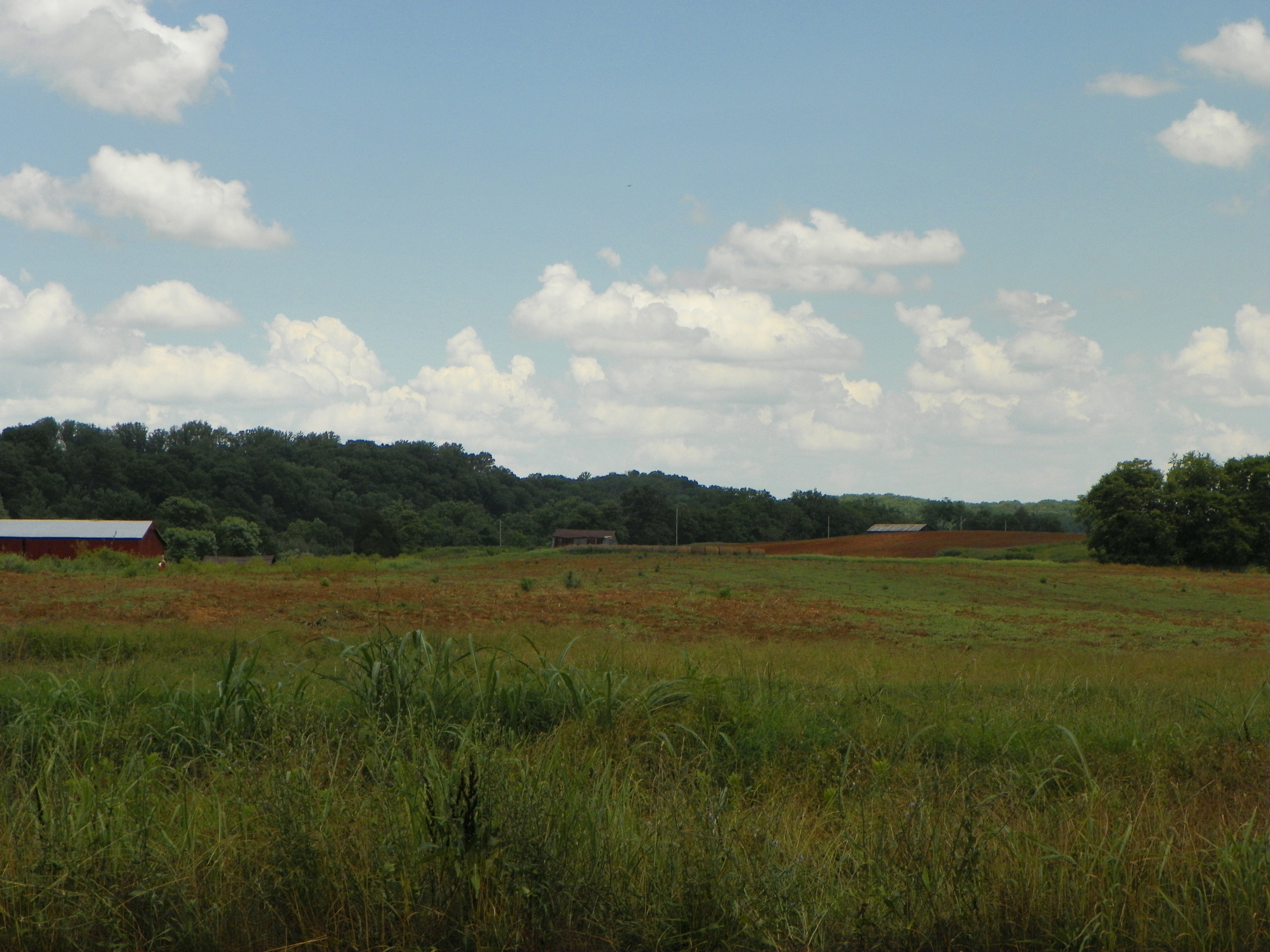
View of Earnest Farms Area 05

Chuckey Doak High School

Washington County, TN Courthouse - Jonesboro, TN

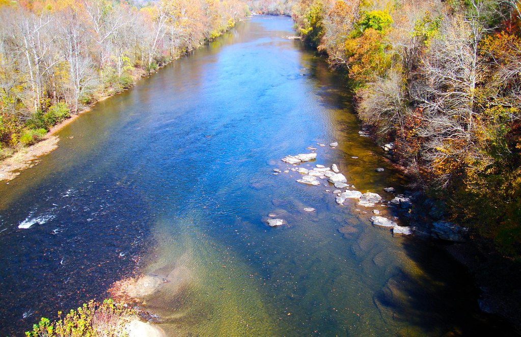
Nolichucky River
Luscious Landscape Layers

WP_20151120_002 (2)

WP_20141124_040.JPG

Spring Sunrise

#sunsets #sunset

Sill Branch Falls
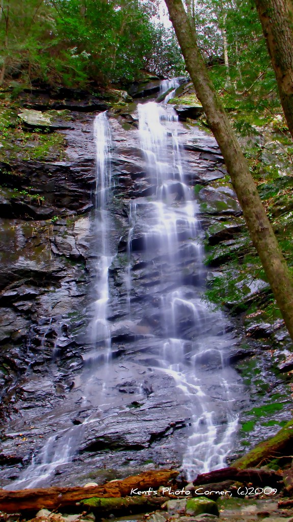
Sill Branch Falls
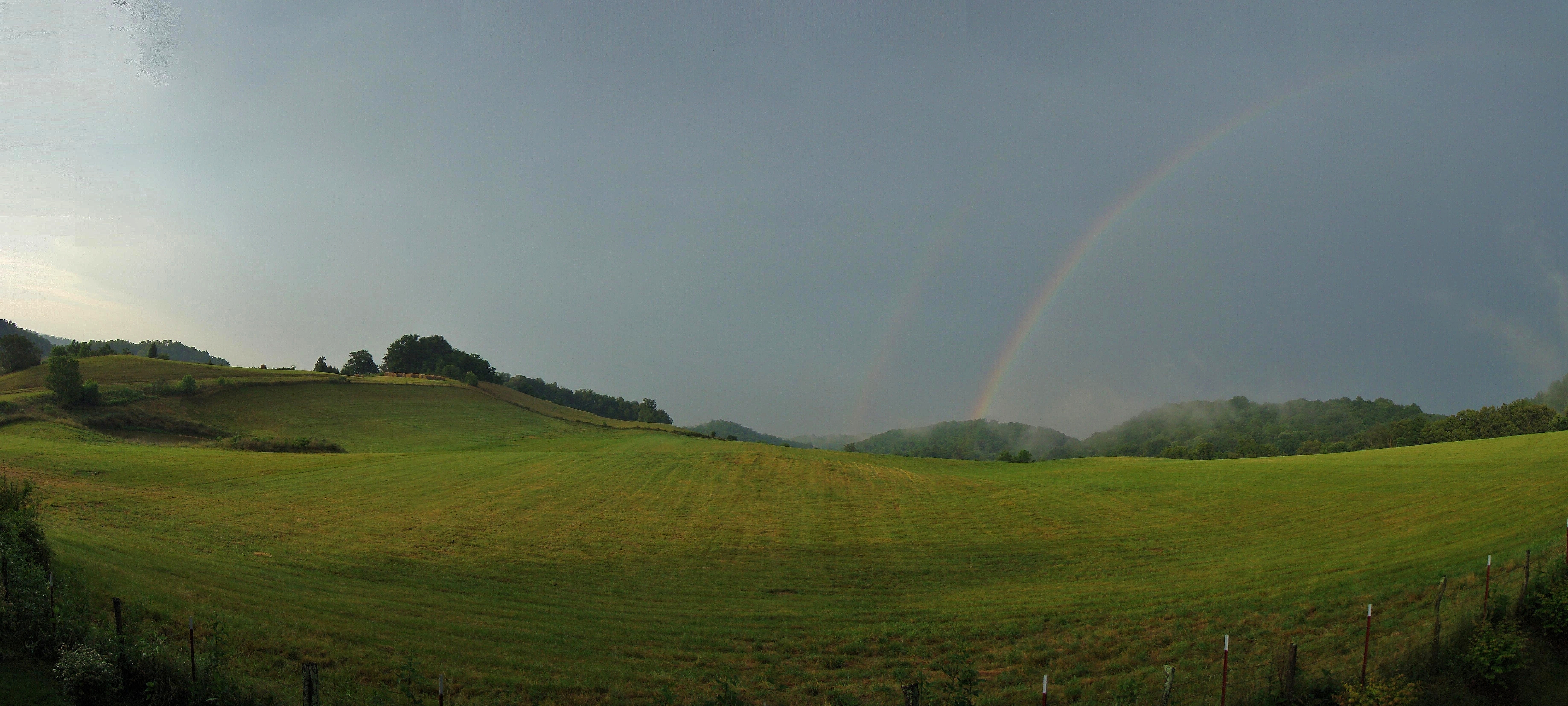
Jonesborough, TN Rainbow

Clark's Creek

IMG_1583.JPG

Side of Sill Branch Falls

Clark's Creek
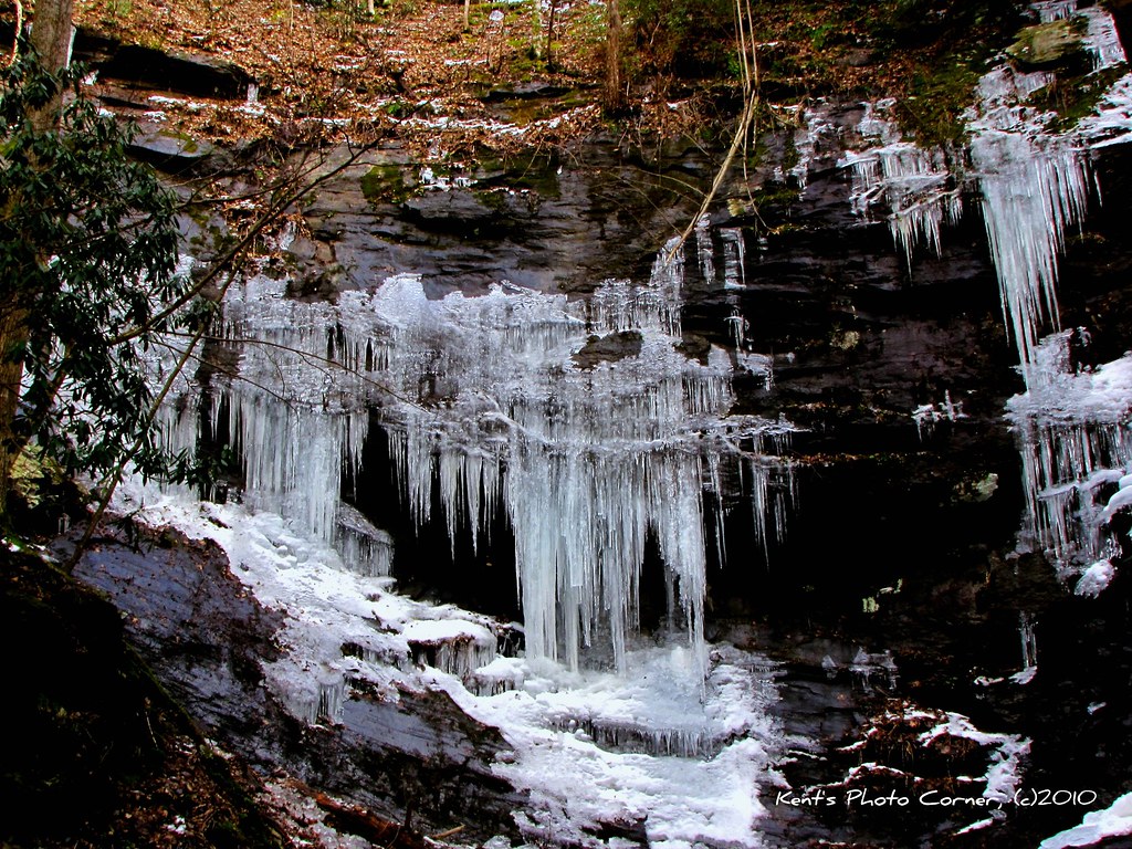
Side of Sill Branch Falls
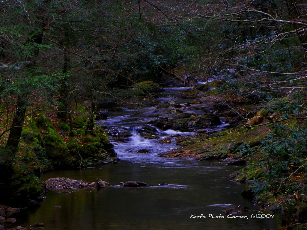
Clark's Creek
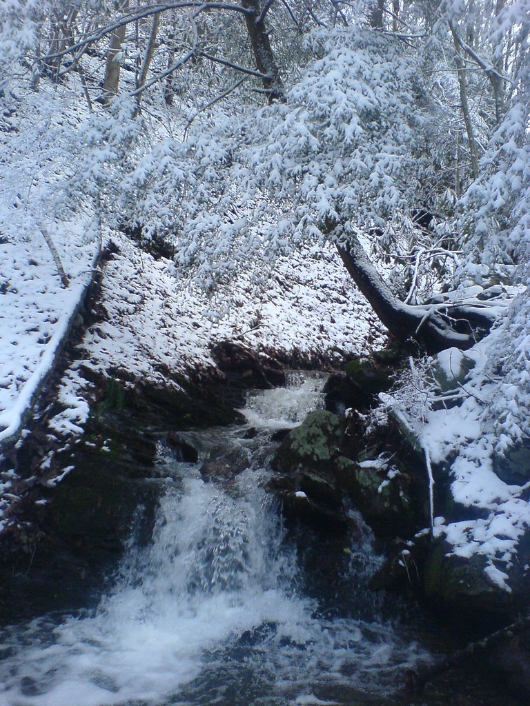
Sill Branch
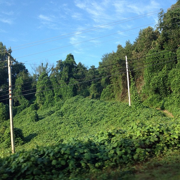
#kudzu #south this stuff can cover everything
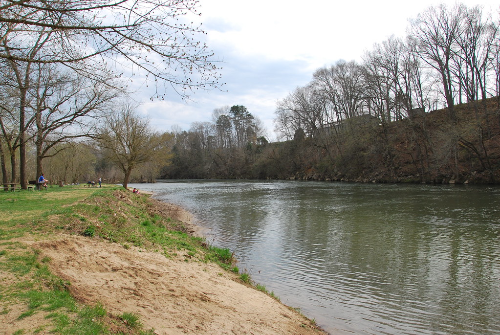
Nolichucky River
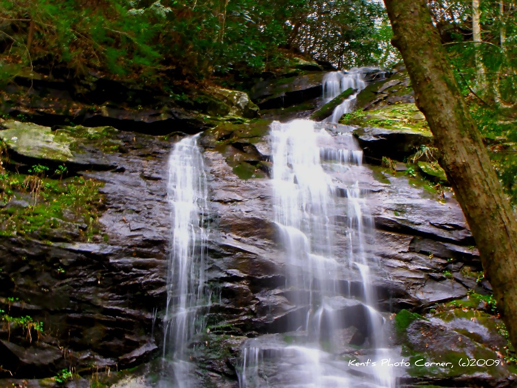
Sill Branch Falls
Topographic Map of Quaker Run, Telford, TN, USA
Find elevation by address:

Places near Quaker Run, Telford, TN, USA:
Washington College Station Road
2703 Old State Rte 34
3425 Andrew Johnson Hwy
119 Miller St
Washington College Rd, Limestone, TN, USA
121 Ferd Henley Rd
528 Kyker Rd
292 Hog Eye Rd
Telford
190 Thornburg Hills Rd
Thornburg Hills Road
390 Miller Rd
625 Saylor Hill Rd
106 Jason Ln
194 Town Country Dr
371 Sliger Rd
299 Armstrong Hill Rd
Upper Sand Valley Rd, Jonesborough, TN, USA
198 Sugar Hollow Rd
11 Vesta Sue Ct
Recent Searches:
- Elevation of Beall Road, Beall Rd, Florida, USA
- Elevation of Leguwa, Nepal
- Elevation of County Rd, Enterprise, AL, USA
- Elevation of Kolchuginsky District, Vladimir Oblast, Russia
- Elevation of Shustino, Vladimir Oblast, Russia
- Elevation of Lampiasi St, Sarasota, FL, USA
- Elevation of Elwyn Dr, Roanoke Rapids, NC, USA
- Elevation of Congressional Dr, Stevensville, MD, USA
- Elevation of Bellview Rd, McLean, VA, USA
- Elevation of Stage Island Rd, Chatham, MA, USA