Elevation of Sliger Rd, Jonesborough, TN, USA
Location: United States > Tennessee > Washington County > Jonesborough >
Longitude: -82.508732
Latitude: 36.2394
Elevation: 523m / 1716feet
Barometric Pressure: 95KPa
Elevation Map:
Satellite Map:
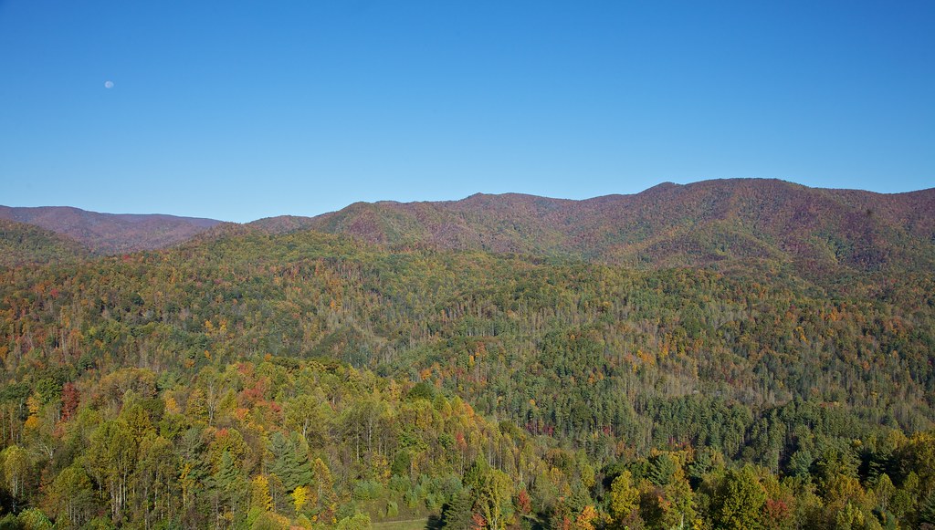
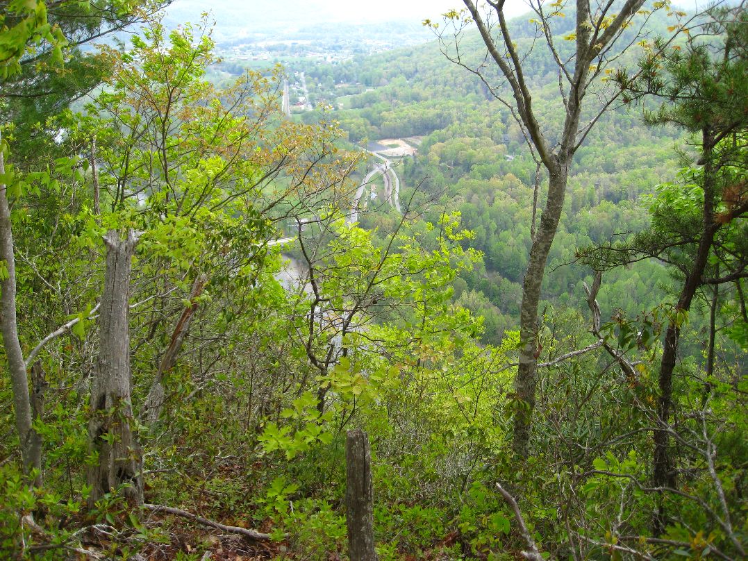
Related Photos:

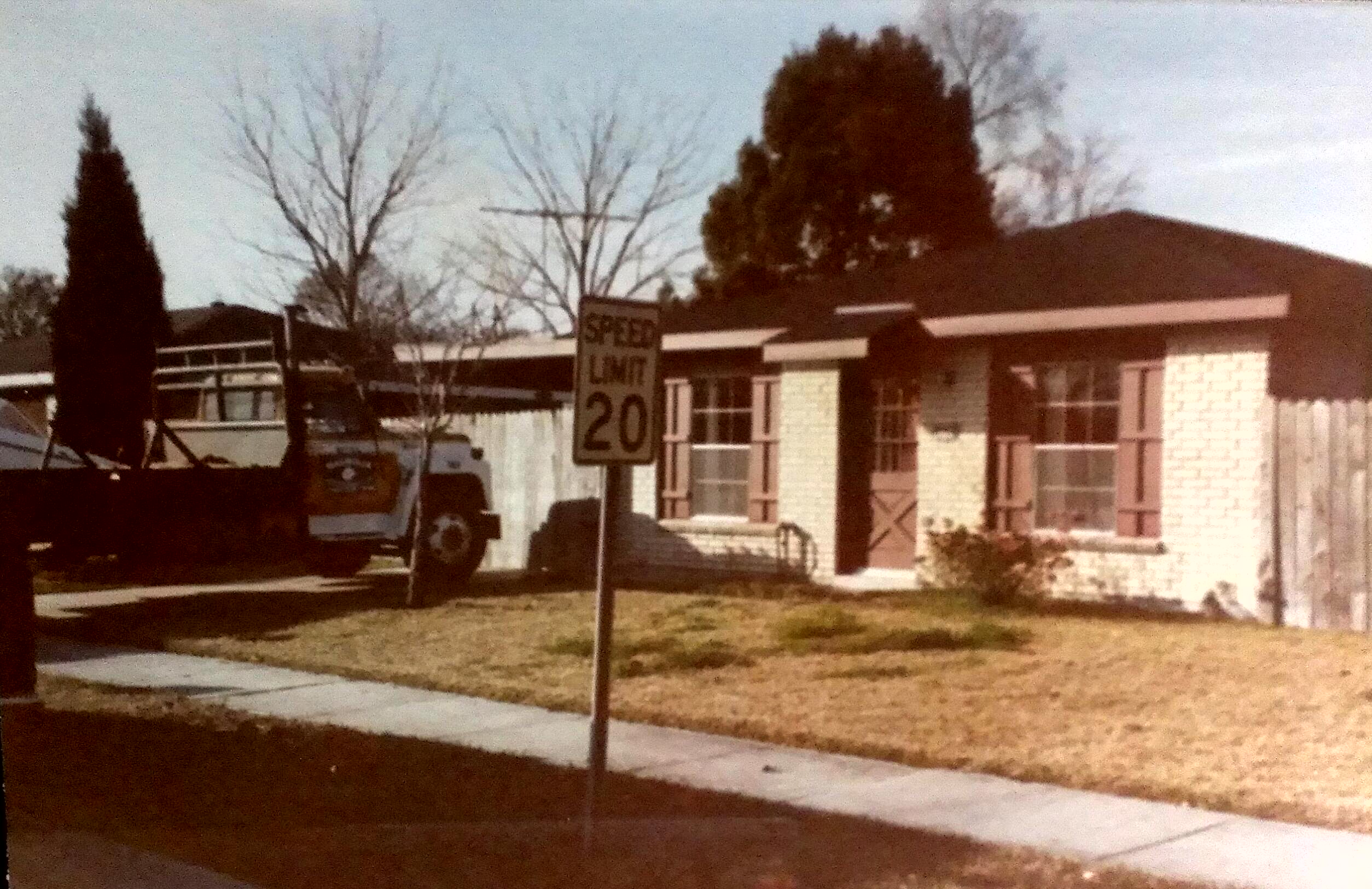
Sun Setting on an Old Homestead

Watching the Game

203 walking down path to parking lot

Buffalo Pano

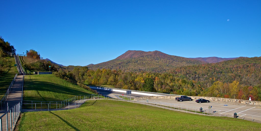
Pinnacle Mountain Fire Tower HDR Panorama

First Presbyterian Church - Jonesborough, TN

2013.12.27 125K Views

195 Trail to top of hill at rest stop in Tennessee

201 Claire on the trail

Pinnacle Tower HDR Panorama 2

First Presbyterian Church - Jonesborough, TN
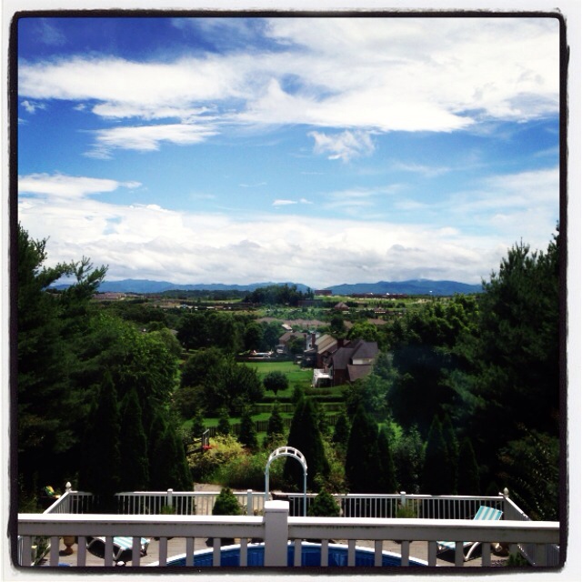
Great view
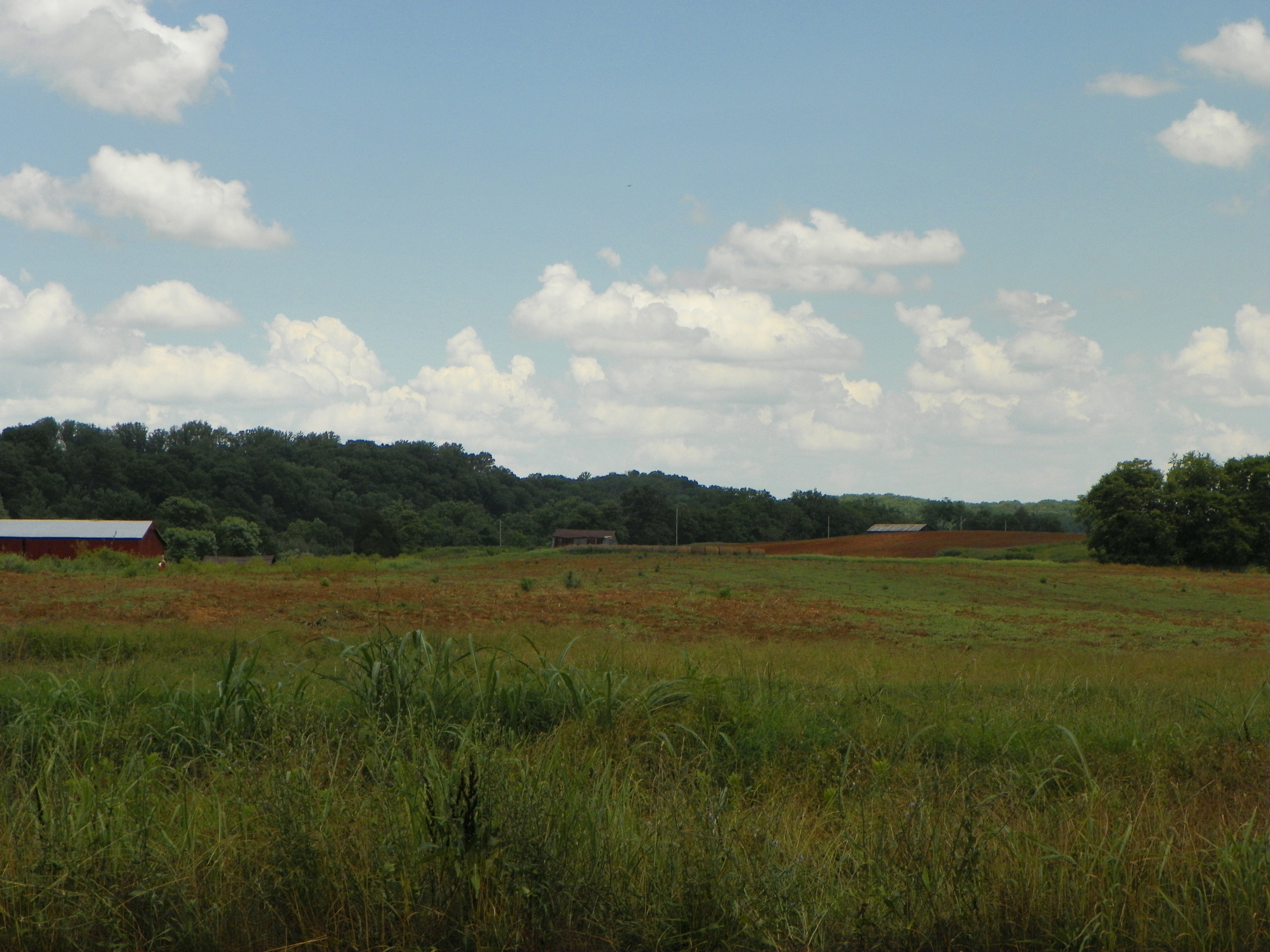
View of Earnest Farms Area 05

Buffalo Mountain

197 On the trail to the top
199 View top of the trail

20100424-131822
20100424-131516
193 First Scenic Lookout on Hwy 26 East into Tenn
IMAG0059-1-1

View from White Rocks on Buffalo Mountain

Abandoned Homestead

When the cold, harsh winter has given its last breath

The old homestead at sunrise

WP_20151120_002 (2)

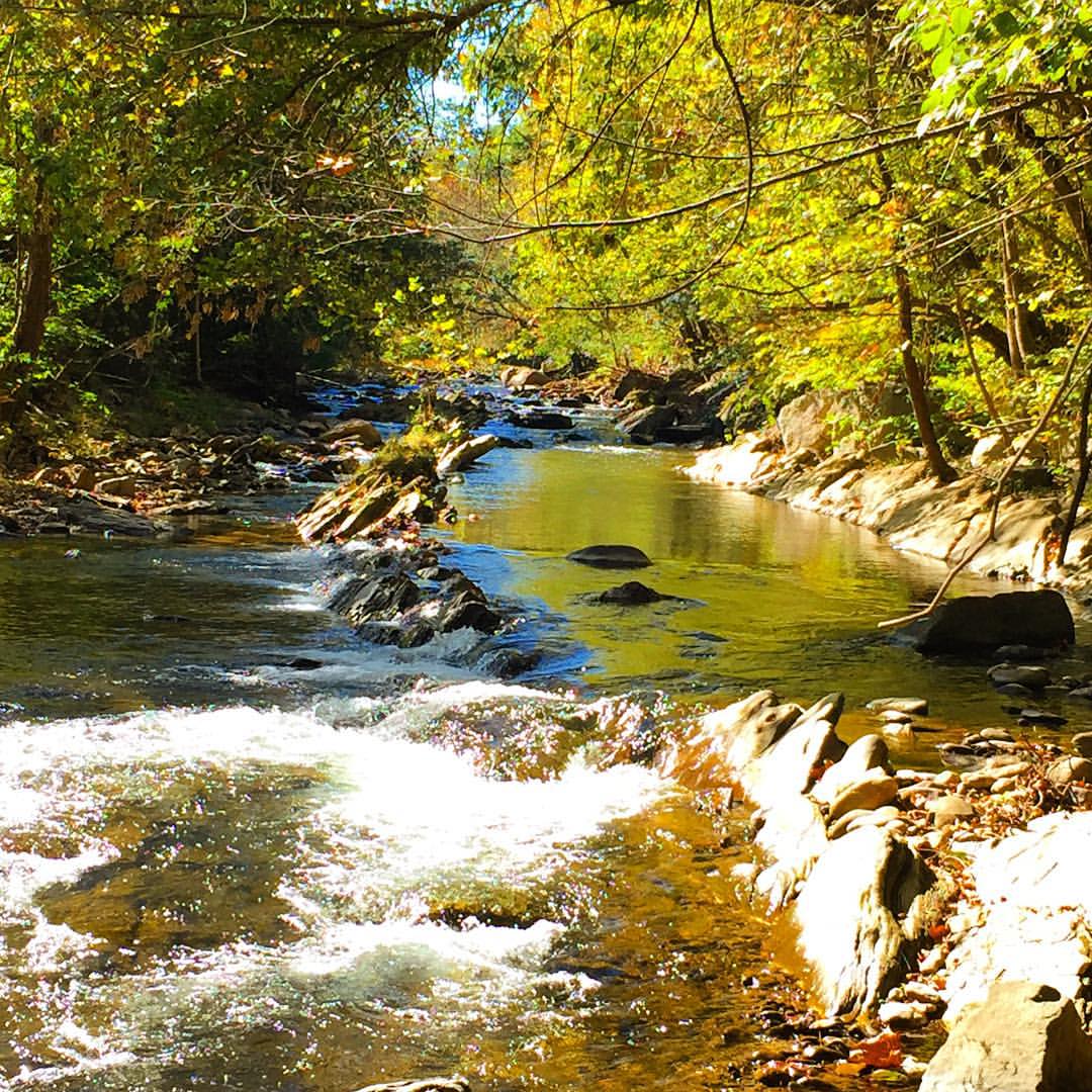
Nolichucky River

WP_20141124_040.JPG

IMG_9063.JPG
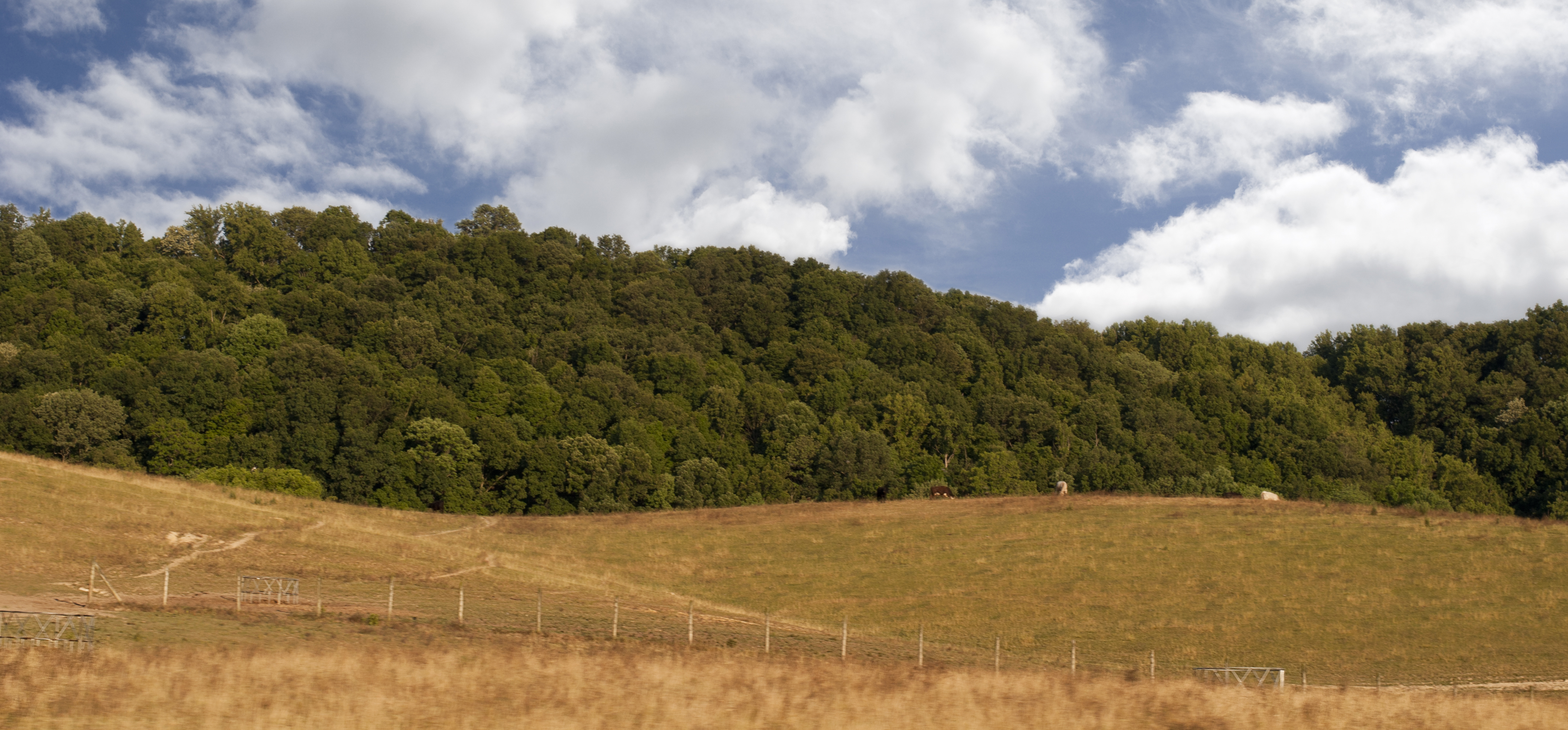
Luscious Landscape Layers

#sunsets #sunset
#Nolichucky #Unicoi #erwin #unicoicounty

Pine Oaks Golf Course

#firetower #pinnacle #Unicoi #forecast #weatherforecast

#park #erwinlineartrail #fall #leaves #erwin

Sill Branch Falls

IMG_0160.JPG
Topographic Map of Sliger Rd, Jonesborough, TN, USA
Find elevation by address:

Places near Sliger Rd, Jonesborough, TN, USA:
1322 Heritage Ln E
11 Vesta Sue Ct
390 Miller Rd
106 Jason Ln
680 Mayberry Rd
194 Town Country Dr
Upper Sand Valley Rd, Jonesborough, TN, USA
203 Archer Rd
2638 Hwy 81 S
Telford
121 Ferd Henley Rd
292 Hog Eye Rd
198 Sugar Hollow Rd
251 New Hope Rd
103 Willow Creek Lane
800 Haws Dr
Jonesborough
4130 Cherokee Rd
Washington College Rd, Limestone, TN, USA
Rock House Road
Recent Searches:
- Elevation of Tenjo, Cundinamarca, Colombia
- Elevation of Côte-des-Neiges, Montreal, QC H4A 3J6, Canada
- Elevation of Bobcat Dr, Helena, MT, USA
- Elevation of Zu den Ihlowbergen, Althüttendorf, Germany
- Elevation of Badaber, Peshawar, Khyber Pakhtunkhwa, Pakistan
- Elevation of SE Heron Loop, Lincoln City, OR, USA
- Elevation of Slanický ostrov, 01 Námestovo, Slovakia
- Elevation of Spaceport America, Co Rd A, Truth or Consequences, NM, USA
- Elevation of Warwick, RI, USA
- Elevation of Fern Rd, Whitmore, CA, USA