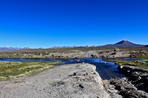
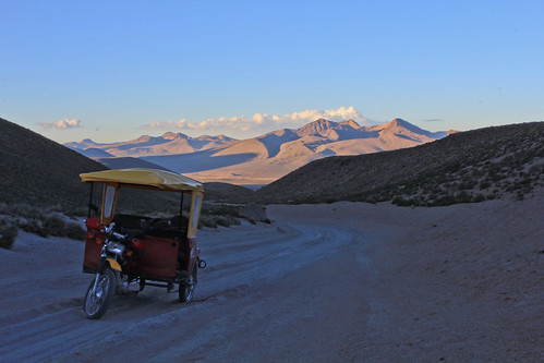
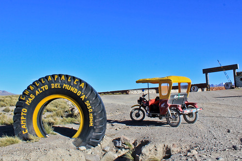
Elevation of Q'asiri, Peru
Location: Peru > Tacna > Tacna >
Longitude: -69.800833
Latitude: -17.470833
Elevation: 5311m / 17424feet
Barometric Pressure: 52KPa
Related Photos:
Topographic Map of Q'asiri, Peru
Find elevation by address:

Places near Q'asiri, Peru:
Jach'aqullu
Tarata Province
P'isaqani
Tacora
Pallagua
Wanq'uri
General Lagos
Pallata
Tacna
Ch'iyar Jaqhi
Candarave Province
Wisk'acha
Pje. Basadre y Forero 10, Tacna, Peru
Plaza Jose Abelardo Quiñonez
Tacna
Tacna
Libra
Ch'iyara Salla
Putre
Mount Laram Q'awa
Recent Searches:
- Elevation of Corso Fratelli Cairoli, 35, Macerata MC, Italy
- Elevation of Tallevast Rd, Sarasota, FL, USA
- Elevation of 4th St E, Sonoma, CA, USA
- Elevation of Black Hollow Rd, Pennsdale, PA, USA
- Elevation of Oakland Ave, Williamsport, PA, USA
- Elevation of Pedrógão Grande, Portugal
- Elevation of Klee Dr, Martinsburg, WV, USA
- Elevation of Via Roma, Pieranica CR, Italy
- Elevation of Tavkvetili Mountain, Georgia
- Elevation of Hartfords Bluff Cir, Mt Pleasant, SC, USA


