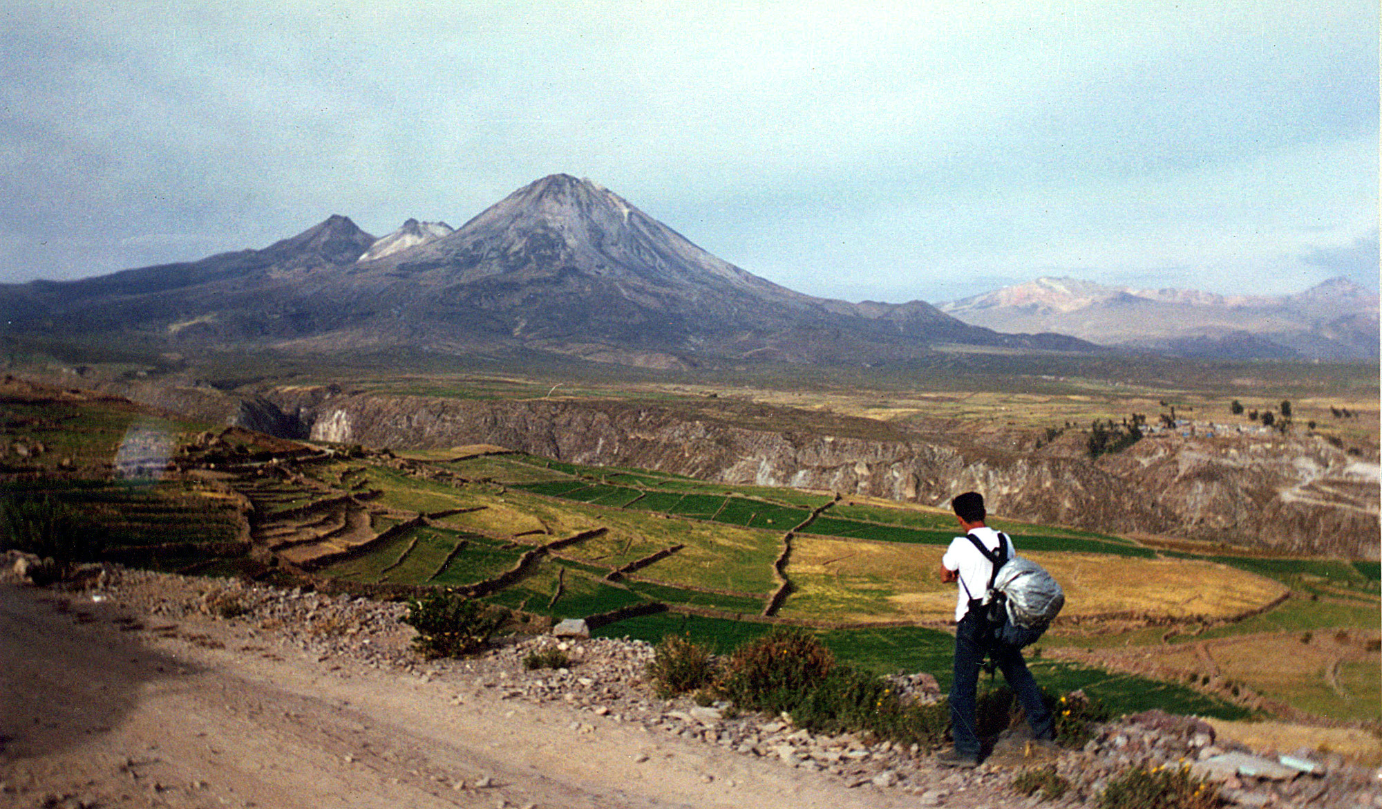
Elevation map of Pallata, Peru
Location: Peru > Tacna > Candarave Province >
Longitude: -70.233333
Latitude: -17.3
Elevation: 3122m / 10243feet
Barometric Pressure: 69KPa
Elevation Map:
Satellite Map:
Related Photos:
2 - Yucamani (y yo)

7 - Yucamani al crepúsculo

#AmorDePadre
Topographic Map of Pallata, Peru
Find elevation by address:

Places near Pallata, Peru:
Ch'iyar Jaqhi
Candarave Province
Tarata Province
P'isaqani
Tacna
Wisk'acha
Jach'aqullu
Q'asiri
Pallagua
Wanq'uri
Tacora
Plaza Jose Abelardo Quiñonez
Pje. Basadre y Forero 10, Tacna, Peru
Tacna
Tacna
Libra
General Lagos
Putre
Socoroma
Ch'iyara Salla
Recent Searches:
- Elevation of Vista Blvd, Sparks, NV, USA
- Elevation of 15th Ave SE, St. Petersburg, FL, USA
- Elevation of Beall Road, Beall Rd, Florida, USA
- Elevation of Leguwa, Nepal
- Elevation of County Rd, Enterprise, AL, USA
- Elevation of Kolchuginsky District, Vladimir Oblast, Russia
- Elevation of Shustino, Vladimir Oblast, Russia
- Elevation of Lampiasi St, Sarasota, FL, USA
- Elevation of Elwyn Dr, Roanoke Rapids, NC, USA
- Elevation of Congressional Dr, Stevensville, MD, USA