Elevation of Q2J5+VM Provincia de Cartago, Patio de Agua, Costa Rica
Location: Costa Rica > Cartago >
Longitude: -83.990812
Latitude: 9.7821875
Elevation: 1862m / 6109feet
Barometric Pressure: 81KPa
Elevation Map:
Satellite Map:
Related Photos:

Otra vista del valle del río Pirrís, entre Copey y Santa María de Dota/ Another view of the Pirrís river valley, between Copey and Santa María, Dota canton

Vista hacia las montañas, paisaje cultural/ View towards the mountains, cultural landscape

Vista hacia Cartago, desde La Chinchilla/ View towards Cartago, from La Chinchilla

Otra vista del paisaje entre Copey y Santa María de Dota/ Another view of the landscape between Copey and Santa María, Dota canton

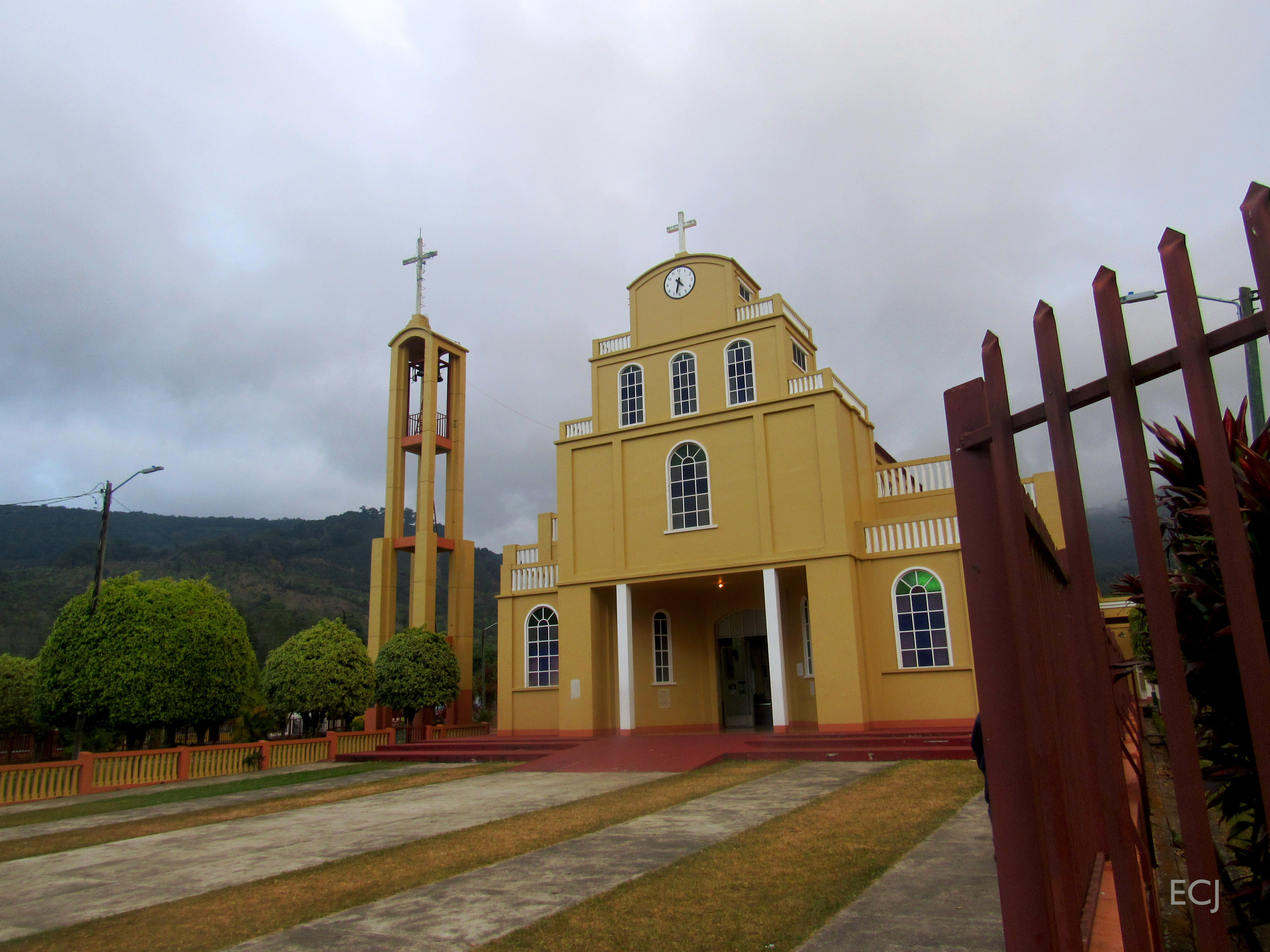
Cartago to Church
Otra vista de la iglesia de Santa María de Dota. Esta es la última foto de esta caminata/ Another view of the church at Santa María, Dota canton. This is the last picture from this hike

Otra vista del paisaje desde la carretera entre Copey y Santa María de Dota/ Another view of the landscape from the road between Copey and Santa María, Dota canton

Curvas, vista de la carretera bajando de Copey hacia Santa María de Dota/ Curves, view of the road between Copey and Santa María de Dota

Iglesia de San Jose de Orosi

Vista del valle del río Pirrís, entre Copey y Santa María de Dota/ View of the Pirrís river valley, between Copey and Santa María

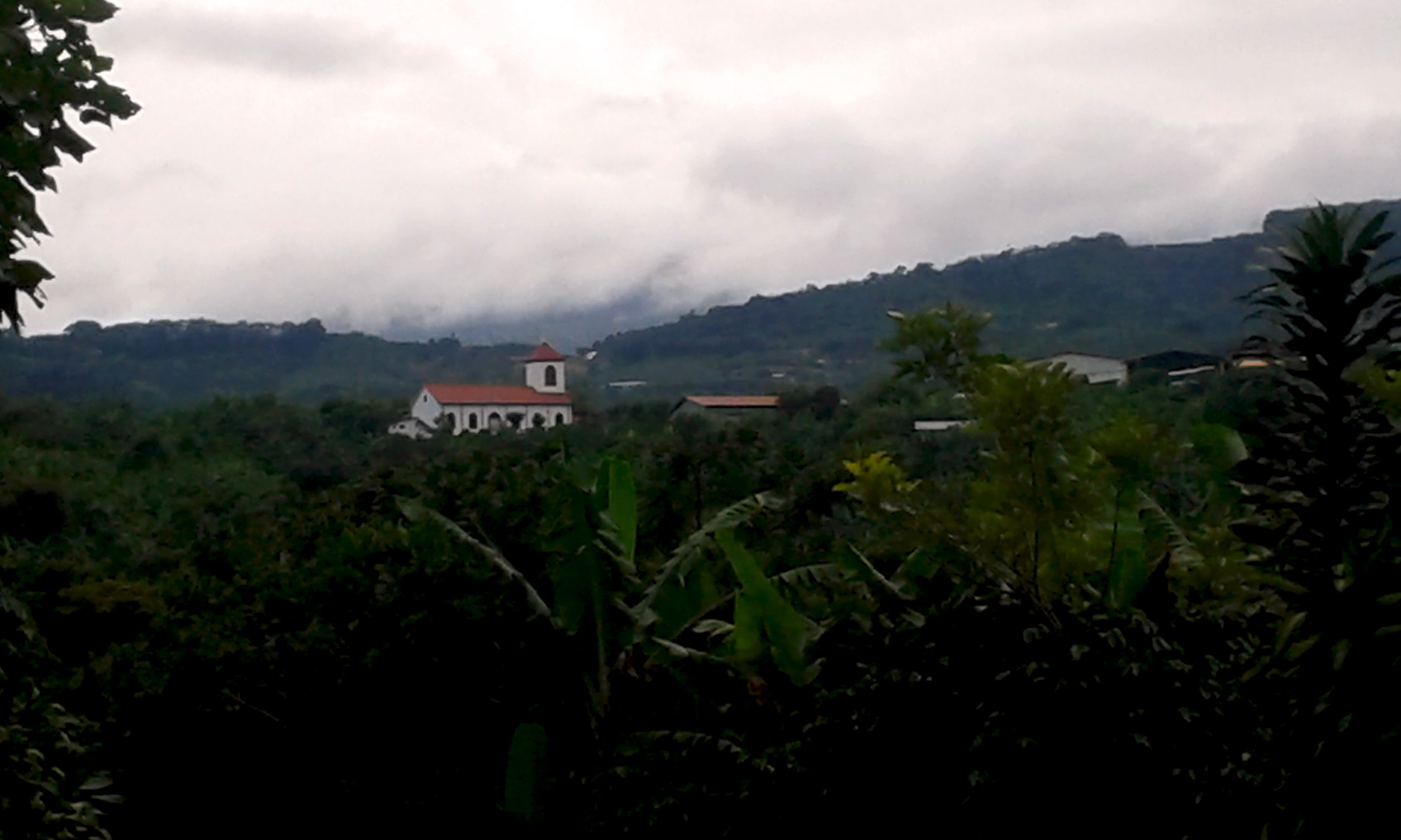
View of Santa María de Dota, Dota's canton seat, and the river valley it stands at

Otra vista de la catarata llegando a Santa María de Dota/ Another view of the waterfall near Santa María, Dota canton

Palm warbler -Western subspecies- (Setophaga palmarum)

The first view from Santa María, the county seat of Dota

The last view from the town of Copey

Otra vista de la catarata, en la carretera entre Copey y Santa María de Dota / Another view of the waterfall between Copey and Santa María, Dota canton
Today is the turn of the travel pics: View towarsds the town of Loma Larga, Corralillo de Cartago

Another view from the facade of the Jesús Jiménez Zamora elementary school, one of the main schools in central Cartago

Vista de las montañas alrededor del río Pirrís/ View of the mountains around Pirrís river valley

View of Santa María de Dota, the county seat
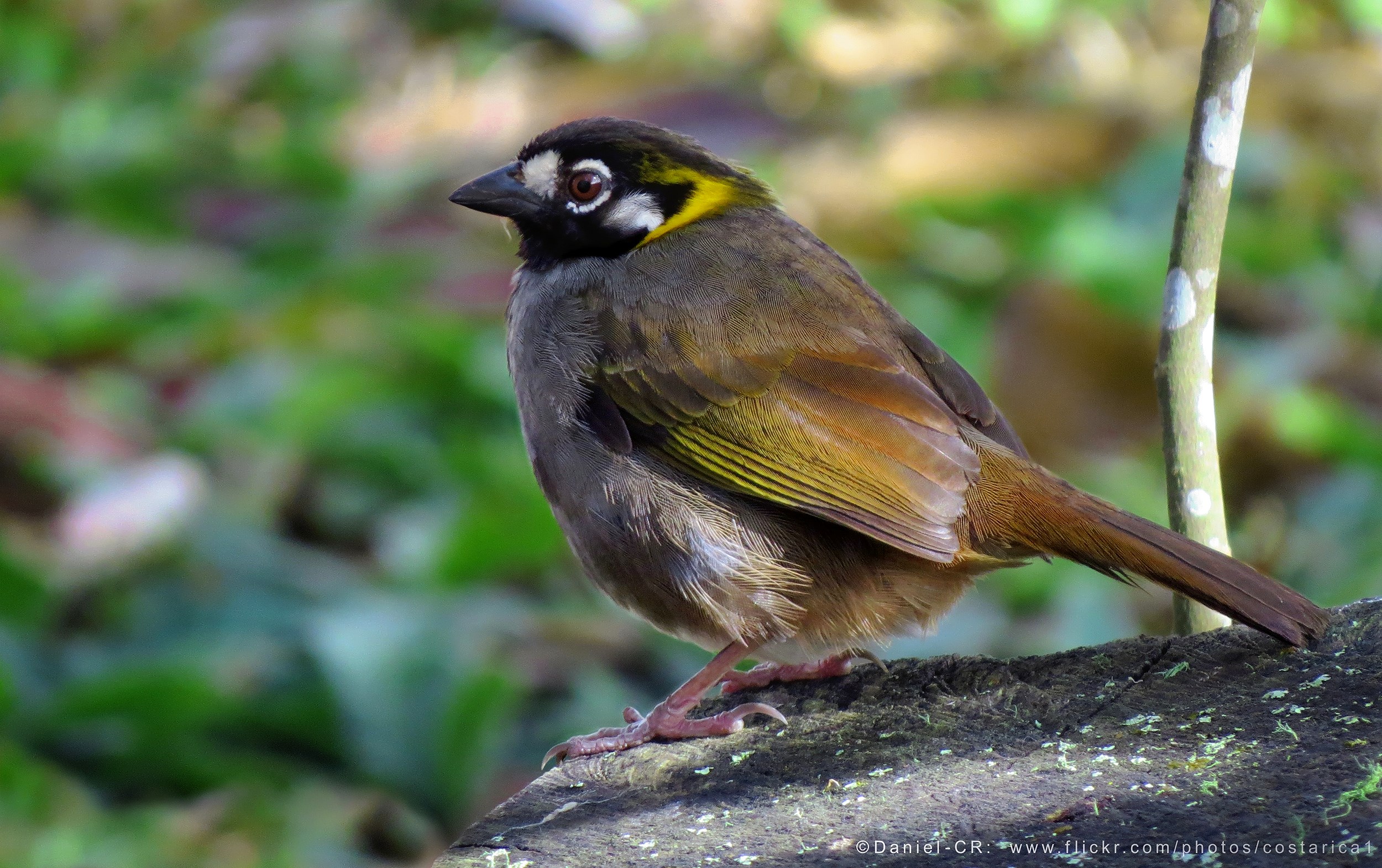
White-eared Ground-Sparrow (Melozone leucotis)

El árbol ante el valle del río Pirrís / The tree before the Pirrís river valley

Una última foto de la catarata entre Copey y Santa María de Dota/ A last picture of the waterfall between Copey and Santa María, Dota canton

Camino adentrándose en la montaña/ A road going deeper into the mountains

Paisaje del valle entre Copey y Santa María de Dota/ Landscape on the valley between Copey and Santa María, Dota canton

El paisaje desde La Chinchilla hacía Cartago/ The landscape from the sector of La Chinchilla towards the city of Cartago

The valleys after the rain

Follaje cerca de la catarata, entre Copey y Santa María de Dota / Foliage by the waterfall, on the road between Copey and Santa María, Dota canton

Árbol contra el cielo azul profundo, camino entre Copey y Santa María de Dota/ Tree with the backdrop of the sky, road between Copey and Santa María. Dota canton

After leaving Rosario

Una vuelta del camino/A turn of the way

Landscape towards the Bustamante sierra/Paisaje mirando hacia la fila de Bustamante

El pueblo de Loma Larga, desde la lejanía/The town of Loma Larga, from afar
Topographic Map of Q2J5+VM Provincia de Cartago, Patio de Agua, Costa Rica
Find elevation by address:

Places near Q2J5+VM Provincia de Cartago, Patio de Agua, Costa Rica:
San Cristóbal Norte
Q2mm+xw
Cabaña Quetzal
San Isidro
Cabinas Turísticas Cerro Alto
Cerro Alto
Loma Larga
San Andrés De León Cortés
San Rafael
San Marcos
Ram Luna
Santa María De Dota
Soda La Trucha
Tres De Junio
Paraíso
Licorera Del Valle Orosi
Orosi Valley Lodge
Orosi
Cedral
San Jose
Recent Searches:
- Elevation of Calais Dr, Del Mar, CA, USA
- Elevation of Placer Mine Ln, West Jordan, UT, USA
- Elevation of E 63rd St, New York, NY, USA
- Elevation of Elk City, OK, USA
- Elevation of Erika Dr, Windsor, CA, USA
- Elevation of Village Ln, Finleyville, PA, USA
- Elevation of 24 Oakland Rd #, Scotland, ON N0E 1R0, Canada
- Elevation of Deep Gap Farm Rd E, Mill Spring, NC, USA
- Elevation of Dog Leg Dr, Minden, NV, USA
- Elevation of Dog Leg Dr, Minden, NV, USA