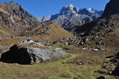
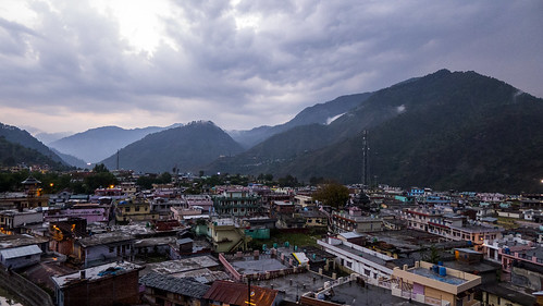
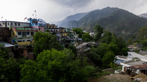
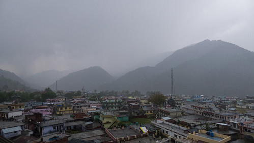
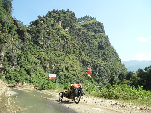
Elevation of Purola, Uttarakhand, India
Location: India > Uttarakhand > Uttarkashi >
Longitude: 78.0851607
Latitude: 30.8788542
Elevation: 1365m / 4478feet
Barometric Pressure: 86KPa
Related Photos:
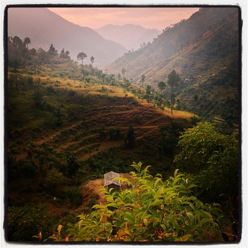
on terraced undulations of subsistence... the upper reaches of Yamuna basin, Oct '15... #travel #photography #yamunabasin #garhwal #terracefarming #uttarakhand #Himalayas #sunset #landscape #ruralindia #iphone4s #iphonography

of abandoned abodes... the migration blues of uttarakhand... yamunotri valley, 'Oct 15... #travel #photography #yamunabasin #yamunotriroute #uttarakhand #Himalayas #sunset #landscape #ruralindia #ruralmigration #iphone4s #iphonography

On palettes... as Autumn recedes, the winterline is throwing up its usual twilight riot of colours... #himalayas #nature #clouds #sunset #silhouette #landscape #twilight #garhwal #uttarakhand
Topographic Map of Purola, Uttarakhand, India
Find elevation by address:

Places near Purola, Uttarakhand, India:
Koti Banal
Barkot
Mohana
Deoban
Kanasar Eco Lodge
Chakrata
Chakrata Hill Station
Jaunsar-bawar
Luhari
Nakuri
Bisoi
Hanuman Chatti
Nagthat
Matli
Uttarkashi
Uttarkashi
Laluri
Barahat Range
Lal Tibba View Point
Naya Mohalla
Recent Searches:
- Elevation of Tenjo, Cundinamarca, Colombia
- Elevation of Côte-des-Neiges, Montreal, QC H4A 3J6, Canada
- Elevation of Bobcat Dr, Helena, MT, USA
- Elevation of Zu den Ihlowbergen, Althüttendorf, Germany
- Elevation of Badaber, Peshawar, Khyber Pakhtunkhwa, Pakistan
- Elevation of SE Heron Loop, Lincoln City, OR, USA
- Elevation of Slanický ostrov, 01 Námestovo, Slovakia
- Elevation of Spaceport America, Co Rd A, Truth or Consequences, NM, USA
- Elevation of Warwick, RI, USA
- Elevation of Fern Rd, Whitmore, CA, USA
