Elevation of Punch Loop Rd, Conover, NC, USA
Location: United States > North Carolina > Catawba County > Clines > Conover >
Longitude: -81.235726
Latitude: 35.7135348
Elevation: 300m / 984feet
Barometric Pressure: 98KPa
Elevation Map:
Satellite Map:
Related Photos:

Dark-eyed Junco-GHMP-3875

Eastern Bluebird-GHMP-3817

illuminated wings

CUMC_9-9-2010-019

CUMC_9-9-2010-018

Pretty Portrait Pose

retracted proboscis
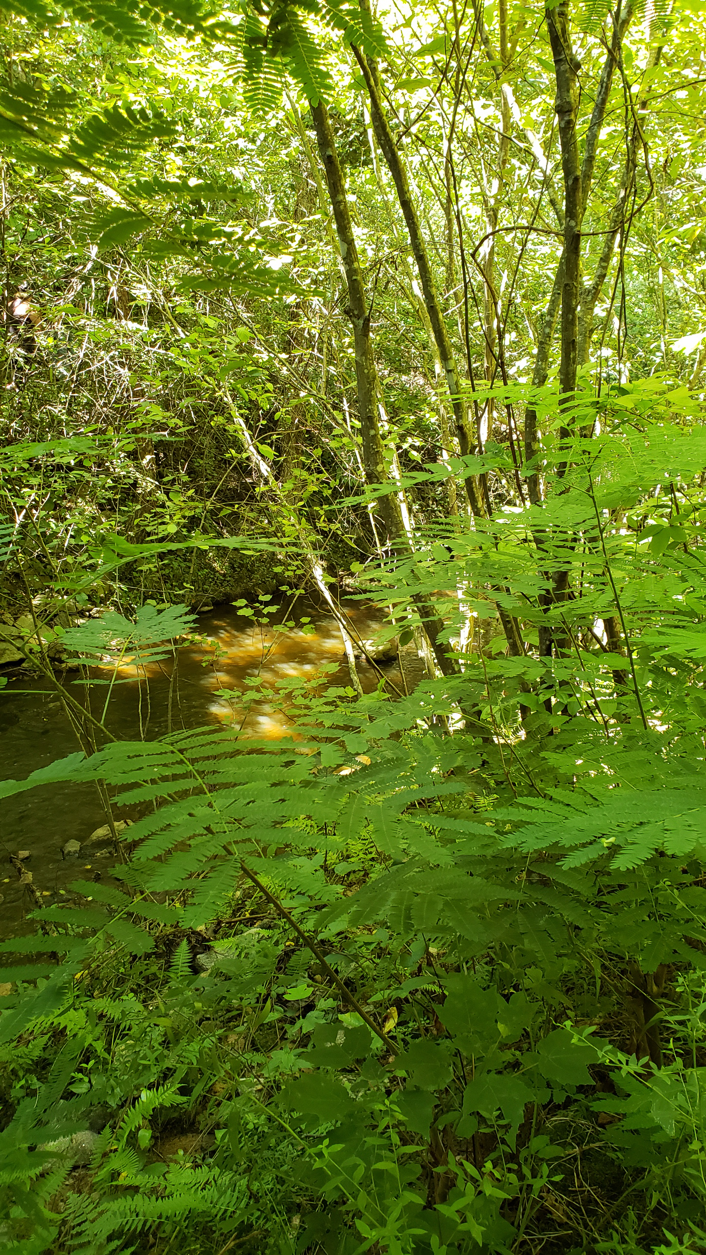
Filtered Sunlight

11-22-2009-52

Mountain View "Brush 127"

11-22-2009-51

Power in the Process-wk 7_Page_10

CUMC_9-9-2010-028

Power in the Process-wk 7_Page_01
Christmas Tree

11-22-2009-62
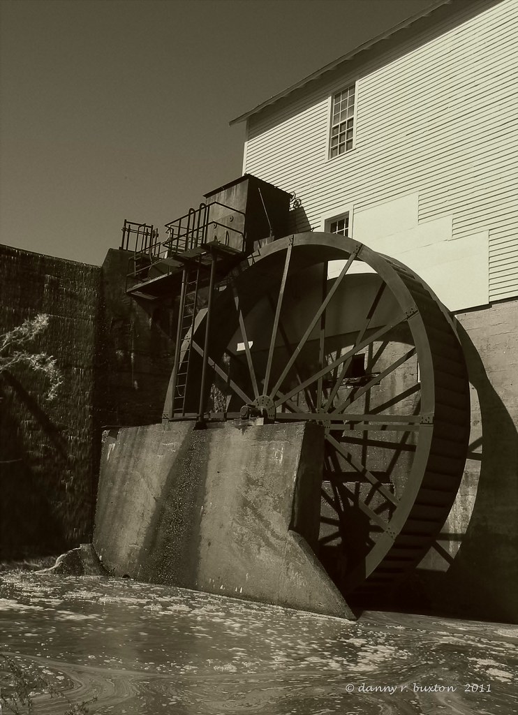
Murray Mill Water Wheel 85/365
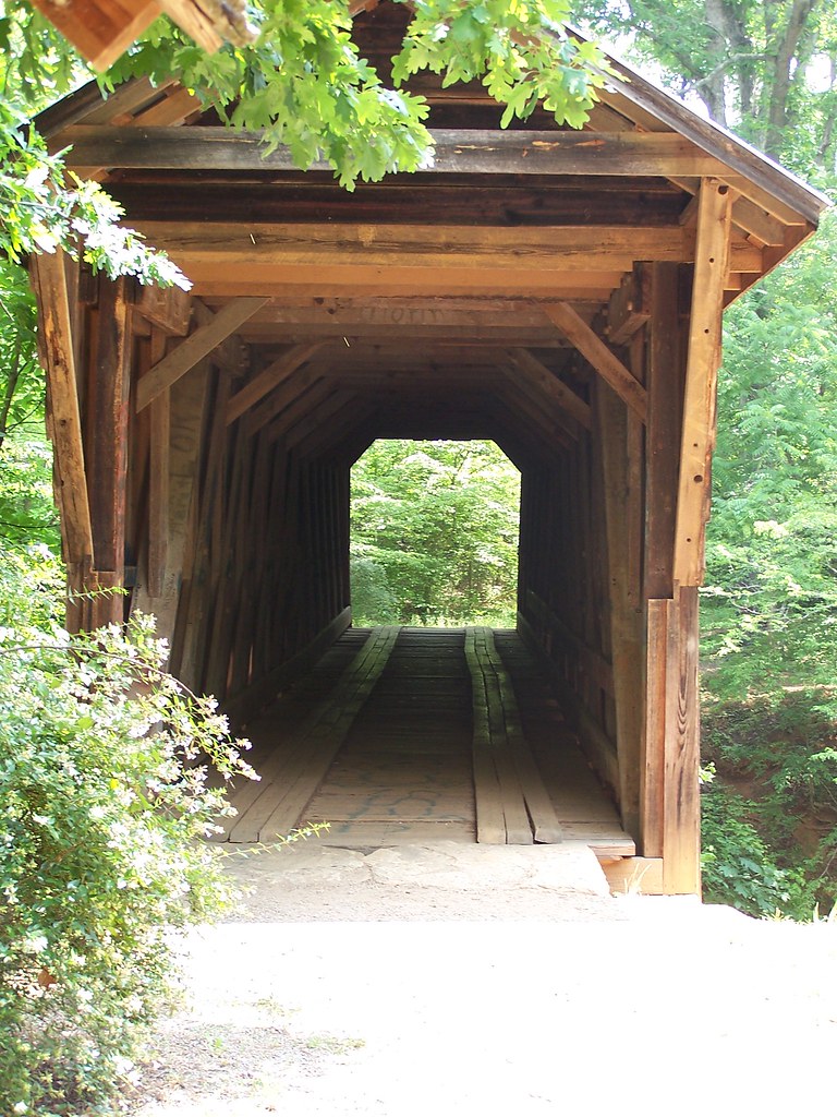
The Bridge
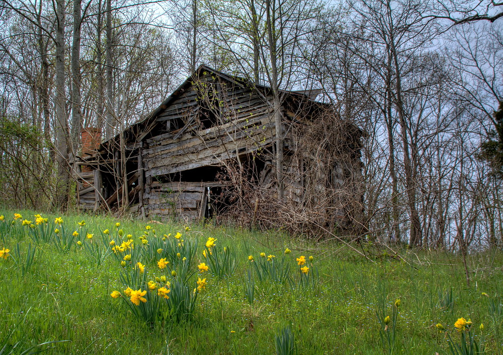
Still Growing...

Grace Union Church
Straight Ahead

Hobo Highway
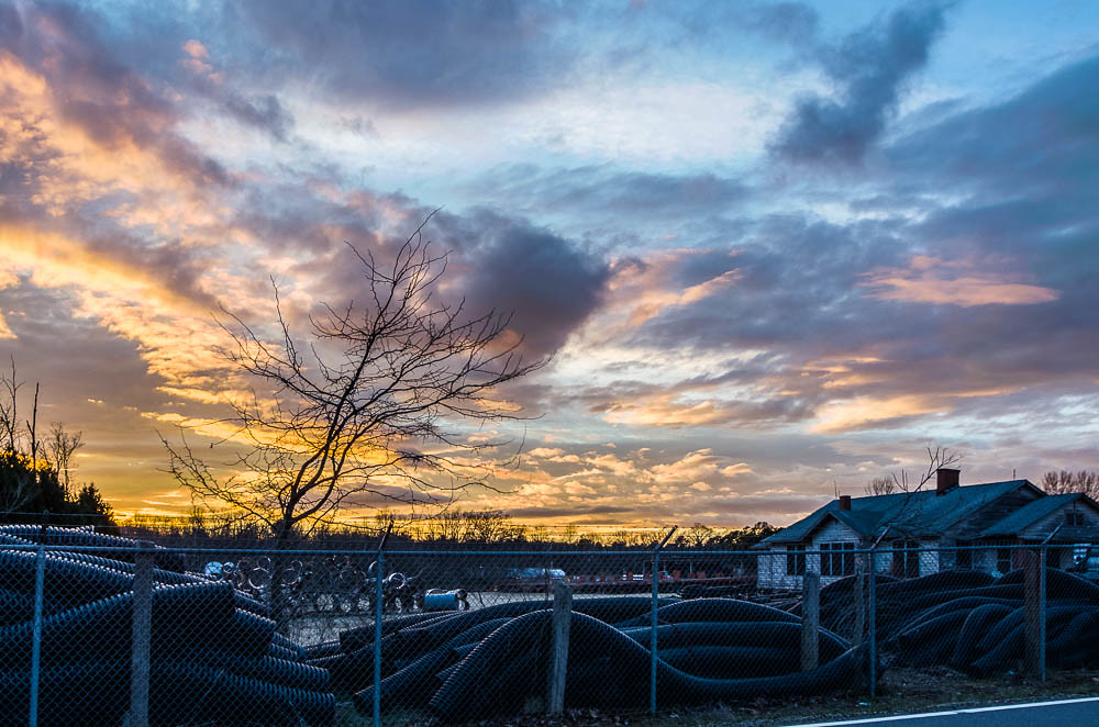
Sunset at the Scrap Pile
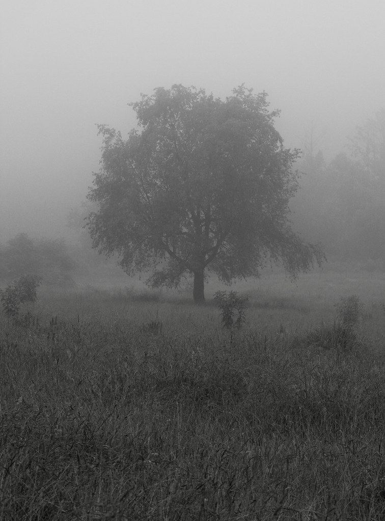
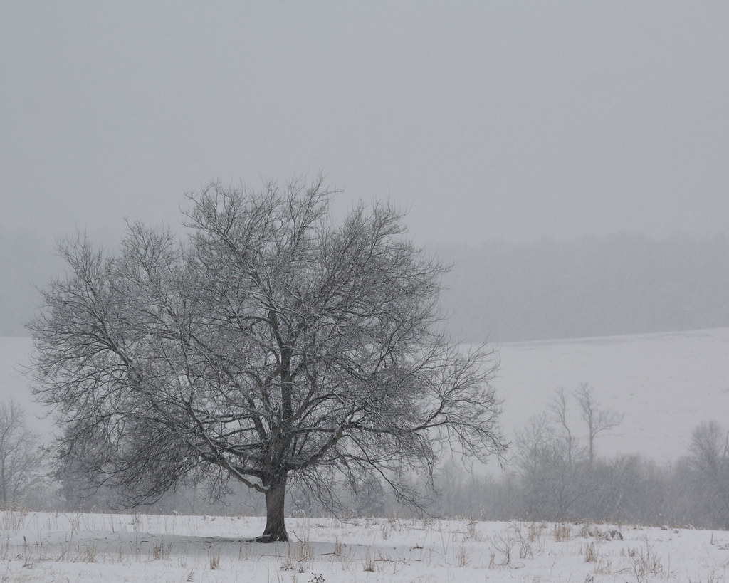
Lone Tree in Fog
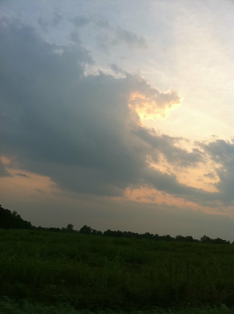
Tonight's Sunset in Newton, NC
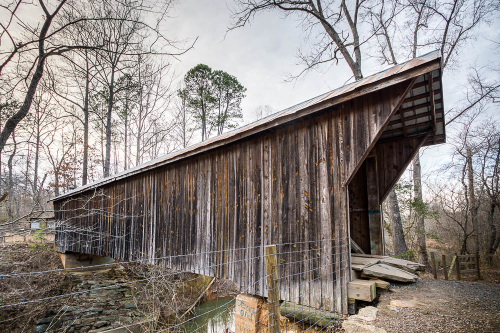
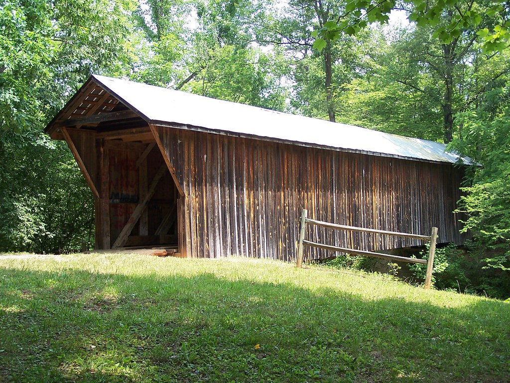
Bunker Hill Covered Bridge 3

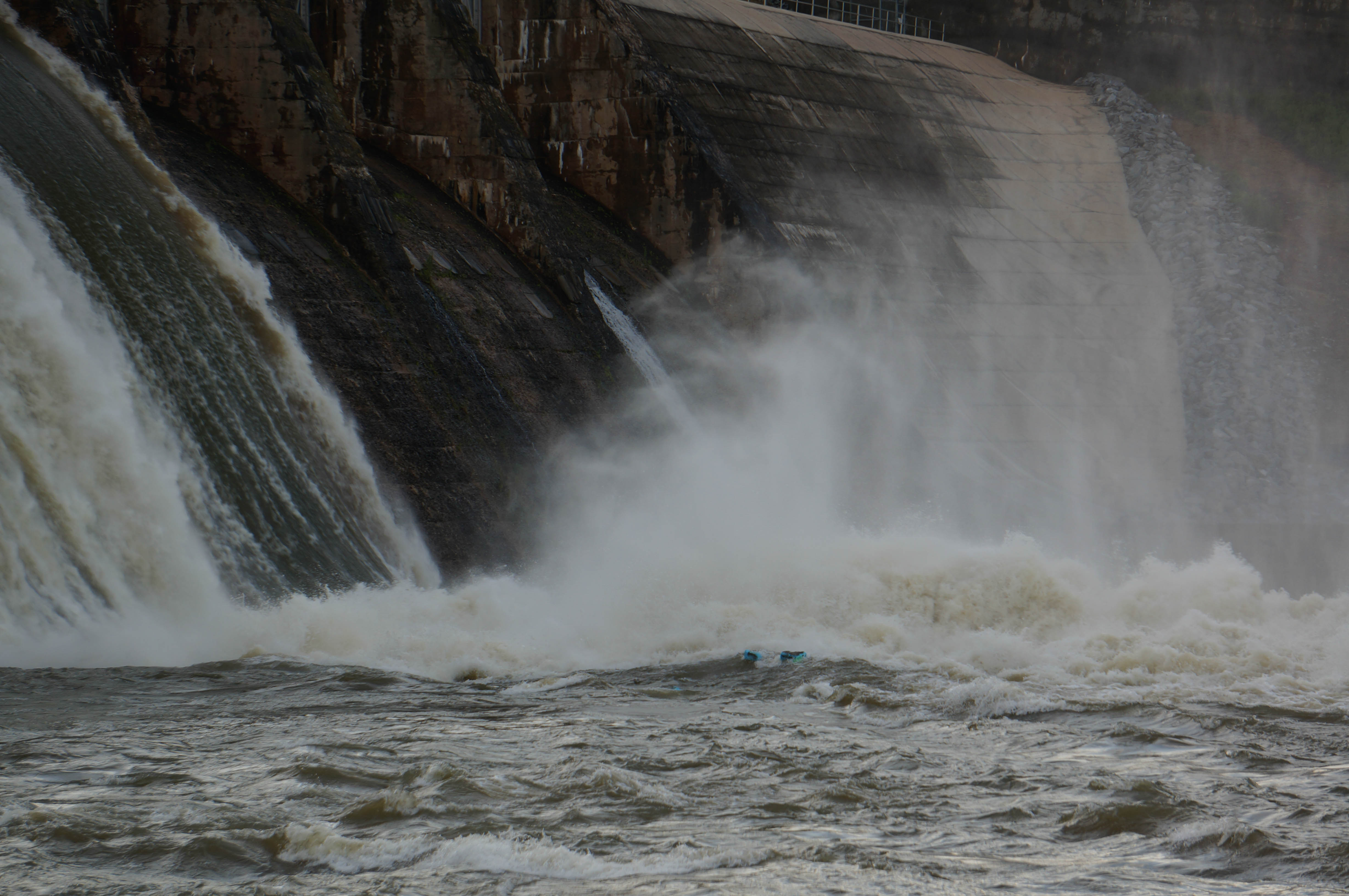
Oxford Dam-1027

Oxford Dam-1025
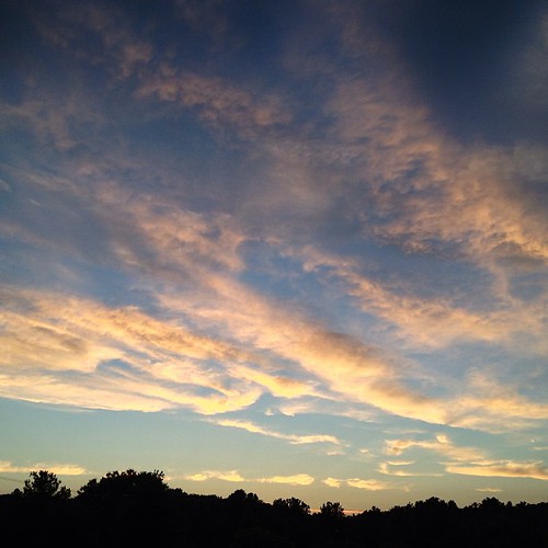
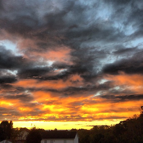
A beautiful Catawba County sunset this evening. #catawbacounty #innovatecatawba #sunset #NC #nofilter #nocontrast #organic
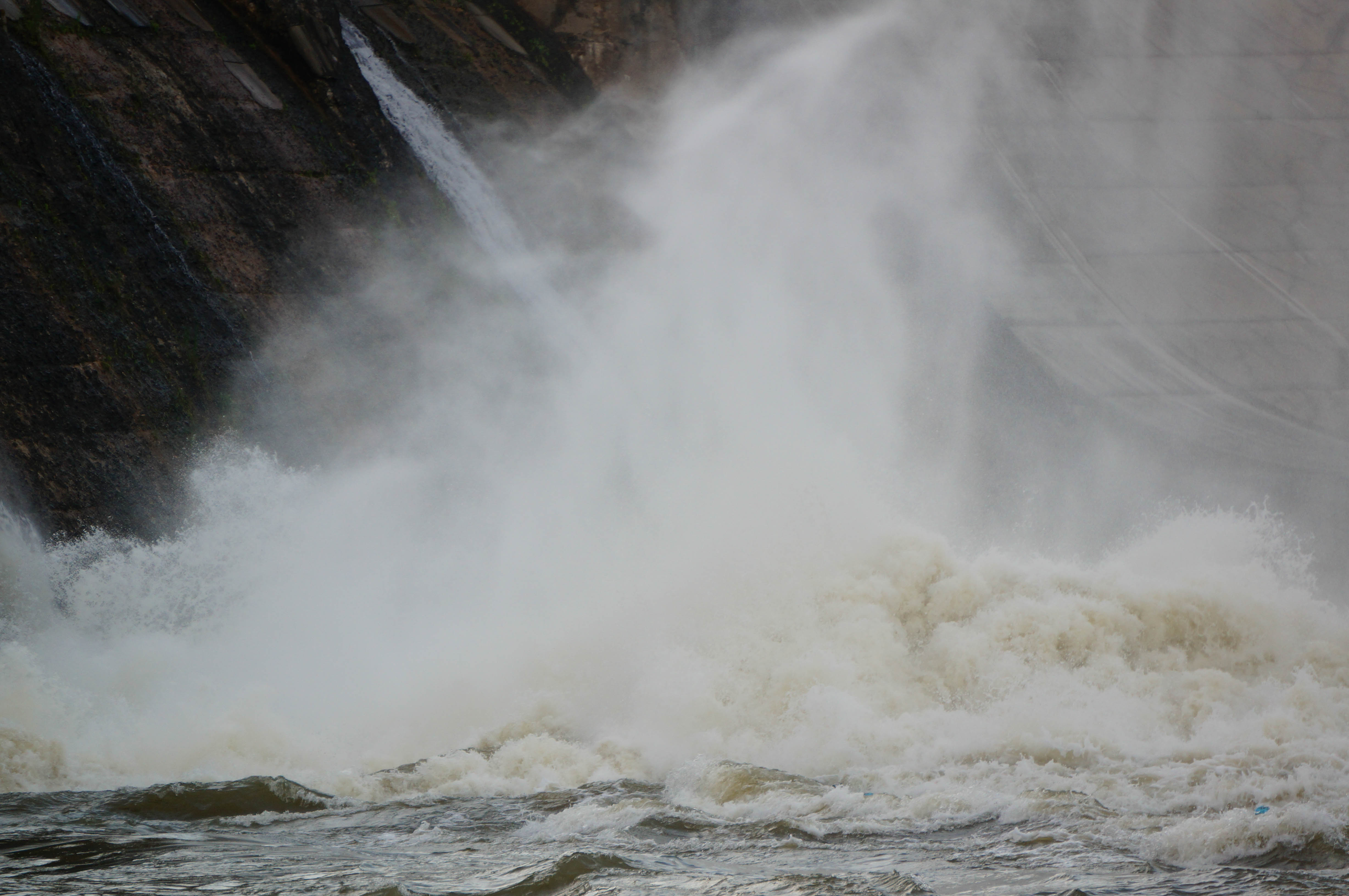
Oxford Dam-1015

Tonight's Sunset 8/12/2010
The Morning Show
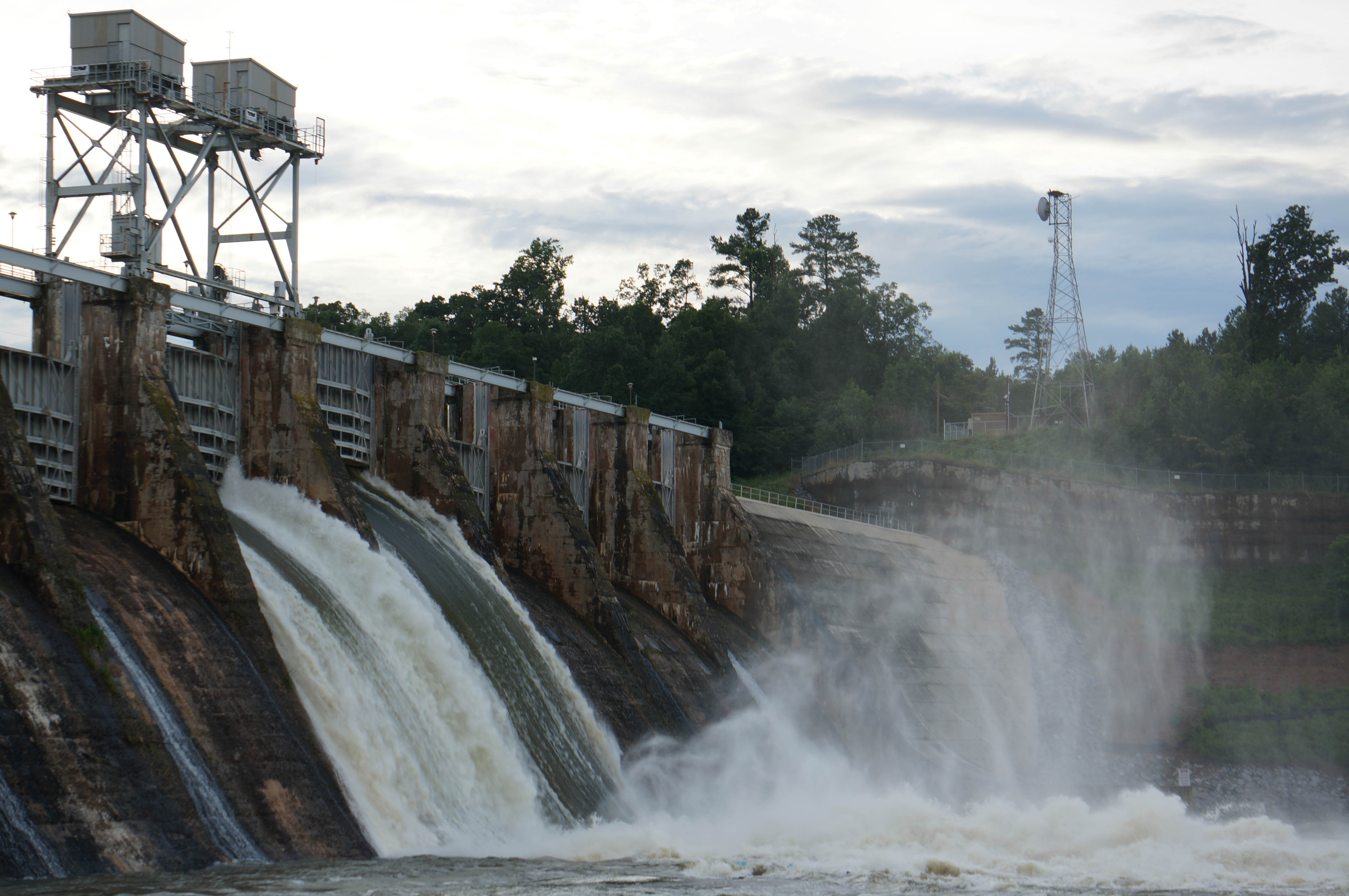
Oxford Dam-1026
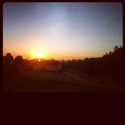
Good morning :-) #sunrise #catawbacounty #nc #ncwx #fall

Oxford Dam-1013
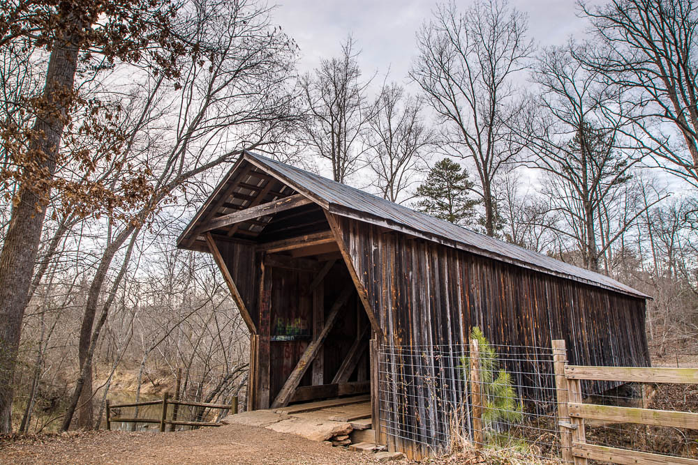
Bunker Hill Covered Bridge 4
Oxford Dam-1004
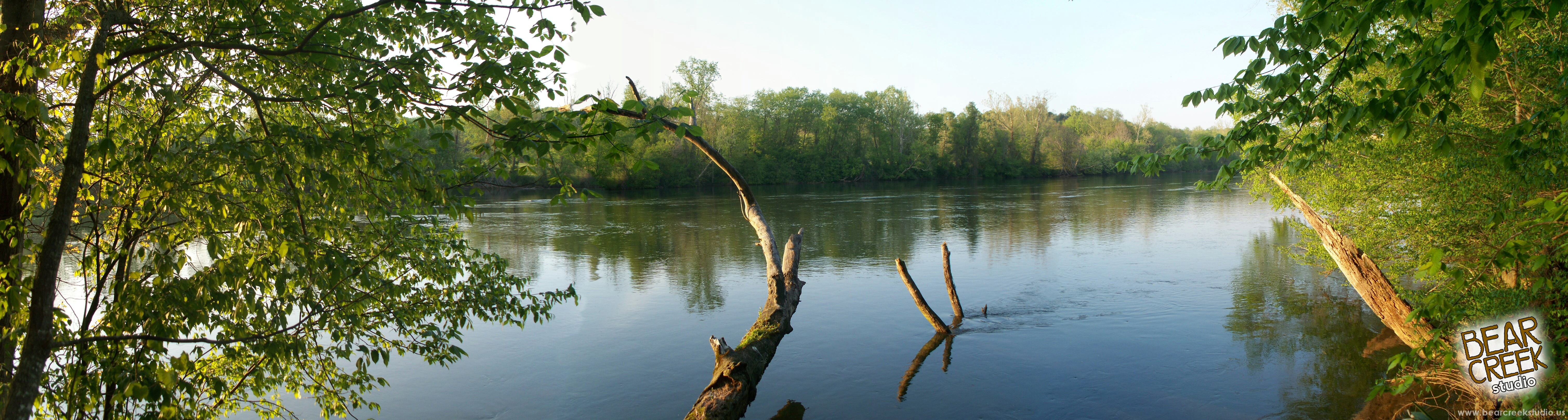
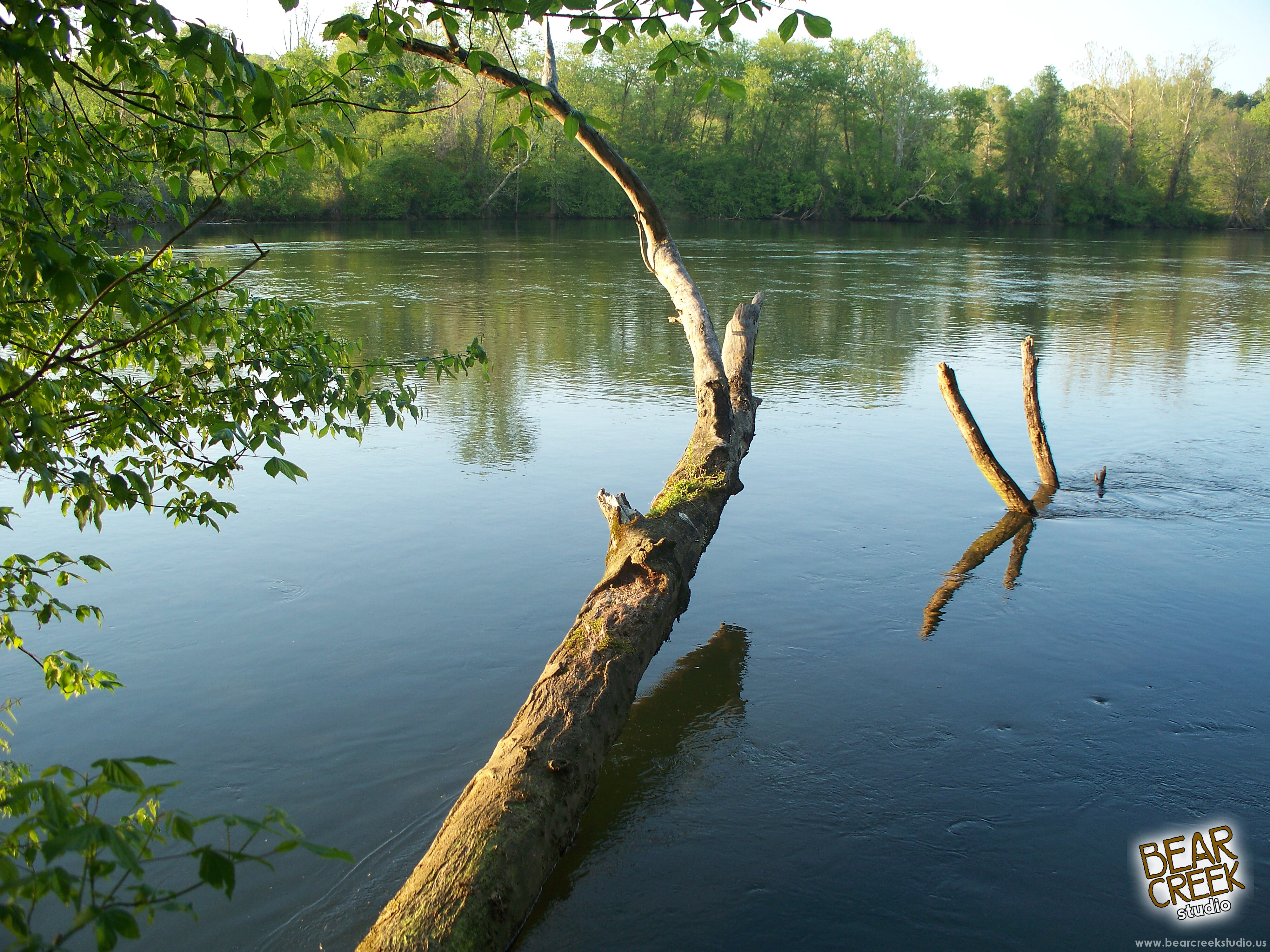
Riverbend Park
2 of my favorite trees in Catawba County, NC

Riverbend Park
Riverbend Park
Riverbend Park
Topographic Map of Punch Loop Rd, Conover, NC, USA
Find elevation by address:

Places near Punch Loop Rd, Conover, NC, USA:
W 1st St, Conover, NC, USA
Conover
1511 Indian Springs Dr
1511 Indian Springs Dr
First Usa Storage
Catawba County
Saint Stephens
2550 Us Hwy 70 Se
30th Street Northeast
1335 Muriel Joy Ln
5140 W Piedmont Cir
5140 W Piedmont Cir
2550 29th St Ne
St. Stephens High School
Catawba County Economic Dev
2130 21st St Ne
3776 Pinecrest Dr Ne
2333 Lenoir Rhyne Blvd Se
4137 Pinecrest Ct Ne
3705 Wandering Ln
Recent Searches:
- Elevation of Vista Blvd, Sparks, NV, USA
- Elevation of 15th Ave SE, St. Petersburg, FL, USA
- Elevation of Beall Road, Beall Rd, Florida, USA
- Elevation of Leguwa, Nepal
- Elevation of County Rd, Enterprise, AL, USA
- Elevation of Kolchuginsky District, Vladimir Oblast, Russia
- Elevation of Shustino, Vladimir Oblast, Russia
- Elevation of Lampiasi St, Sarasota, FL, USA
- Elevation of Elwyn Dr, Roanoke Rapids, NC, USA
- Elevation of Congressional Dr, Stevensville, MD, USA