Elevation of Clines, NC, USA
Location: United States > North Carolina > Catawba County >
Longitude: -81.185773
Latitude: 35.7442668
Elevation: 264m / 866feet
Barometric Pressure: 98KPa
Elevation Map:
Satellite Map:
Related Photos:
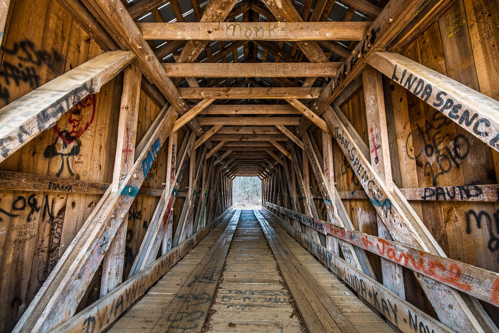
The Bridge
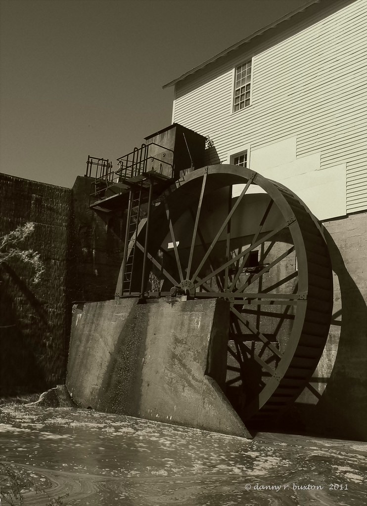
Murray Mill Water Wheel 85/365
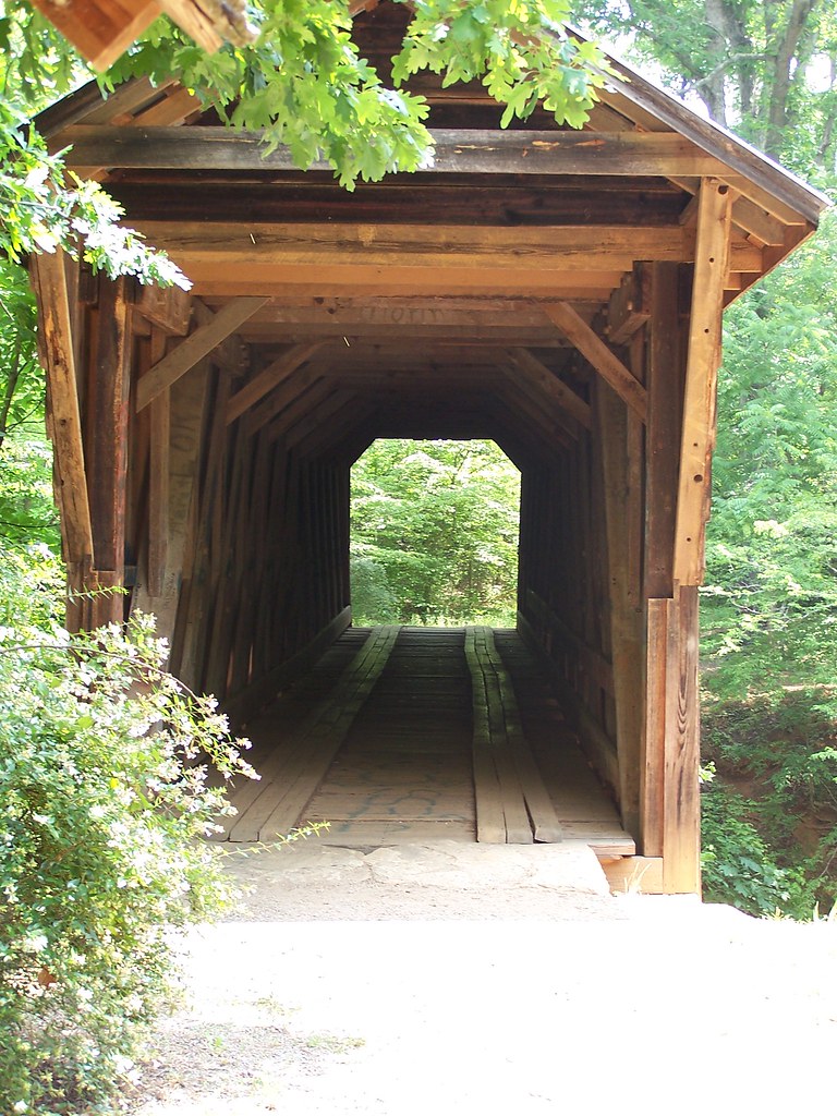
Straight Ahead
I had the opportunity and honor of having this view this evening...first time in ~3 yrs. #thankful #audienceofone
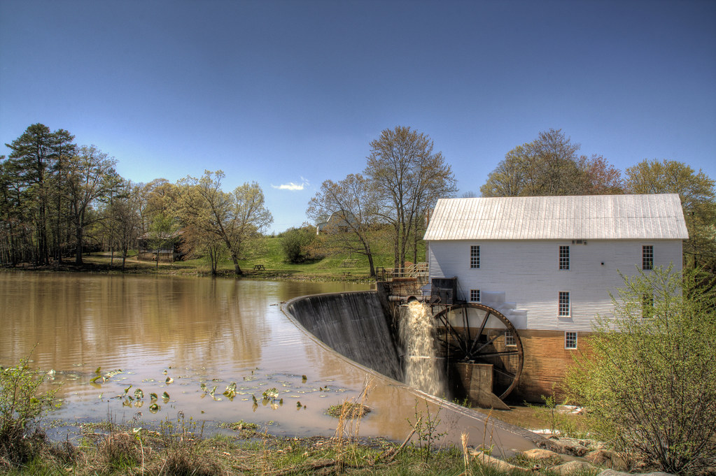
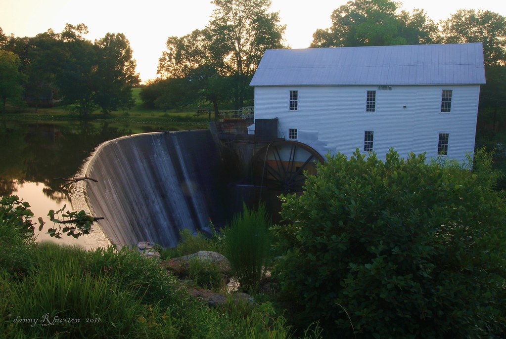
Murray's Mill
My office from a different view. #technology #tech #catawbacounty

Murray's Mill Farmhouse

Post-Bokeh
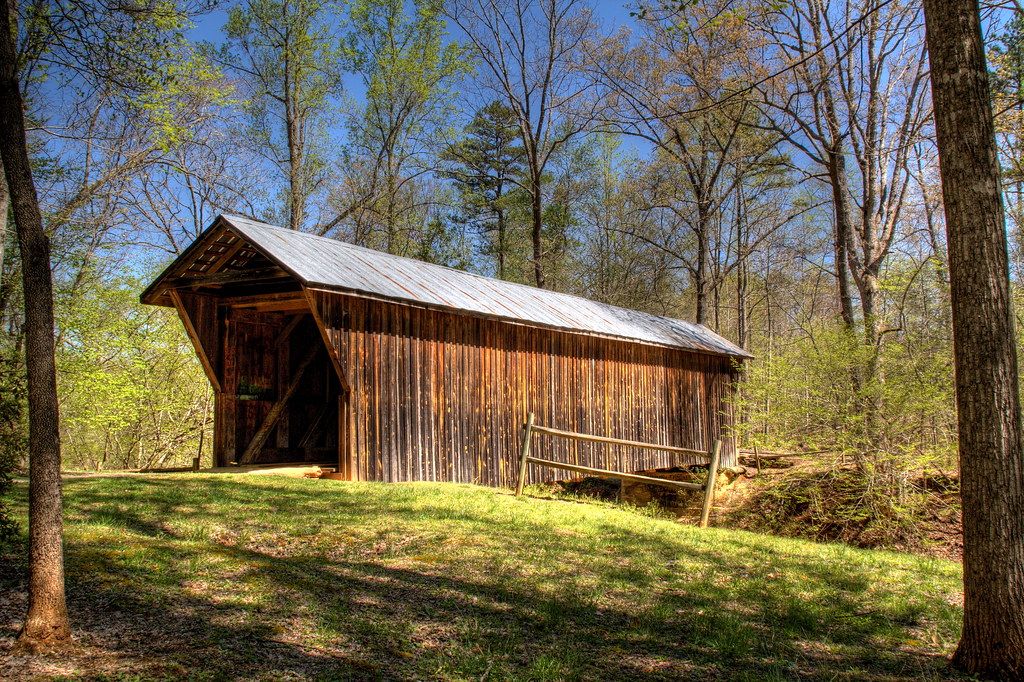
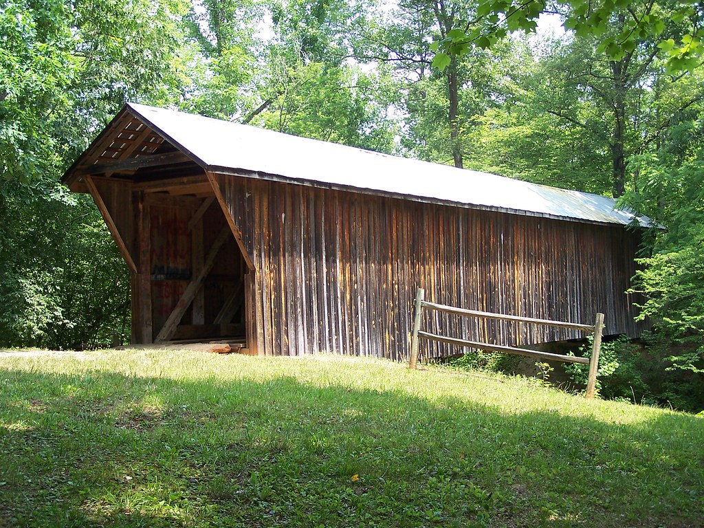
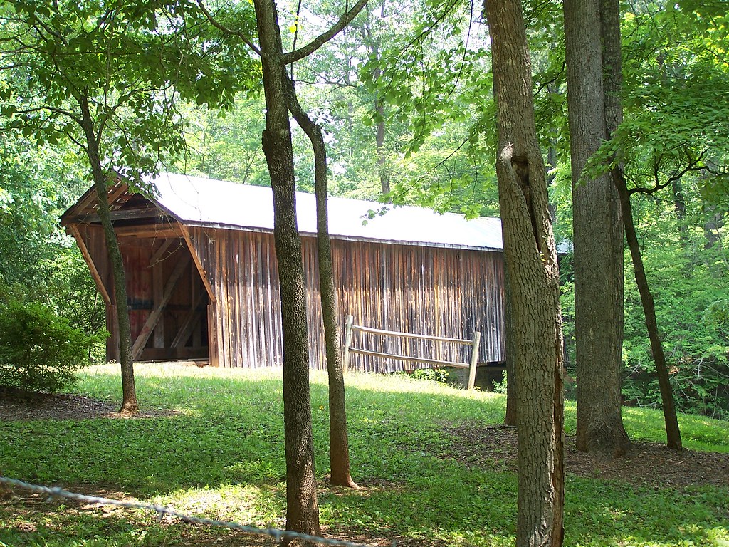
Bunker Hill Covered Bridge
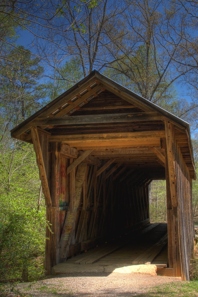
Bunker Hill Covered Bridge
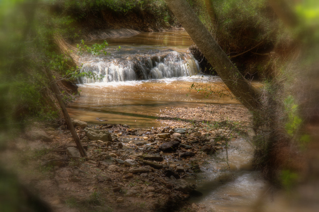
Peaceful Waters
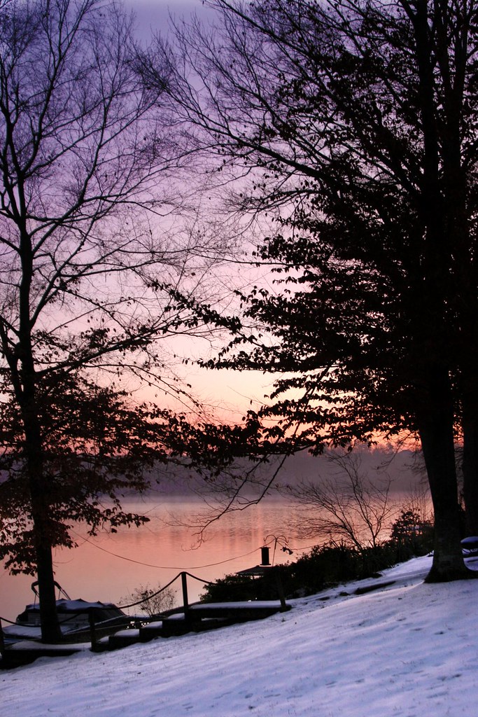
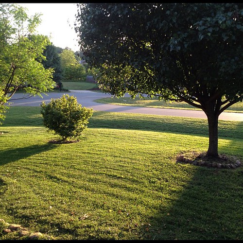
View from my Dad's
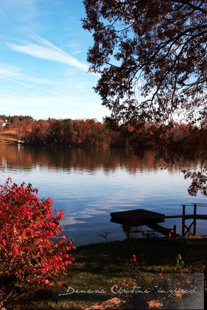
good morning lake view
First View
Murry Mill

Murray's Mill

CUMC_9-9-2010-019

CUMC_9-9-2010-018

11-22-2009-52

CUMC_9-9-2010-016

11-22-2009-51

Murray's Mill

Retired Huey

Hobo Highway #2 11/52
Bunker Hill Covered Bridge 2

Hobo Highway

Nothing like a freshly cut yard. #itsaguything
Nothing like a freshly cut yard. #itsaguything
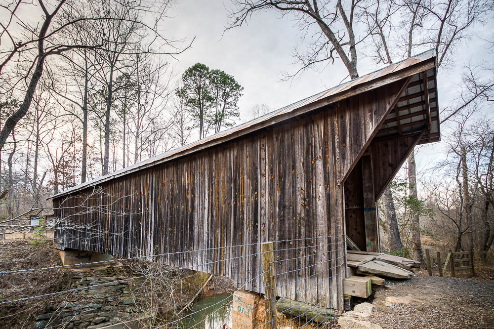
Bunker Hill Covered Bridge 3
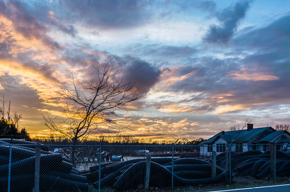
Sunset at the Scrap Pile

Oxford Dam-1027
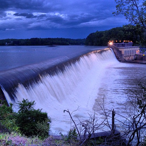
Lookout Dam in Catawba, NC #flood #ncwx #nc #catawbacounty

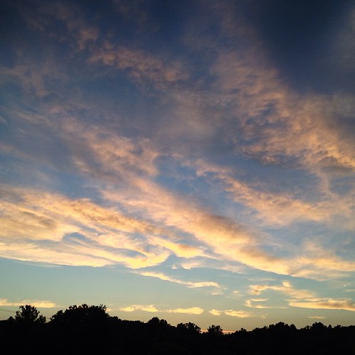
Tonight's Sunset in Newton, NC
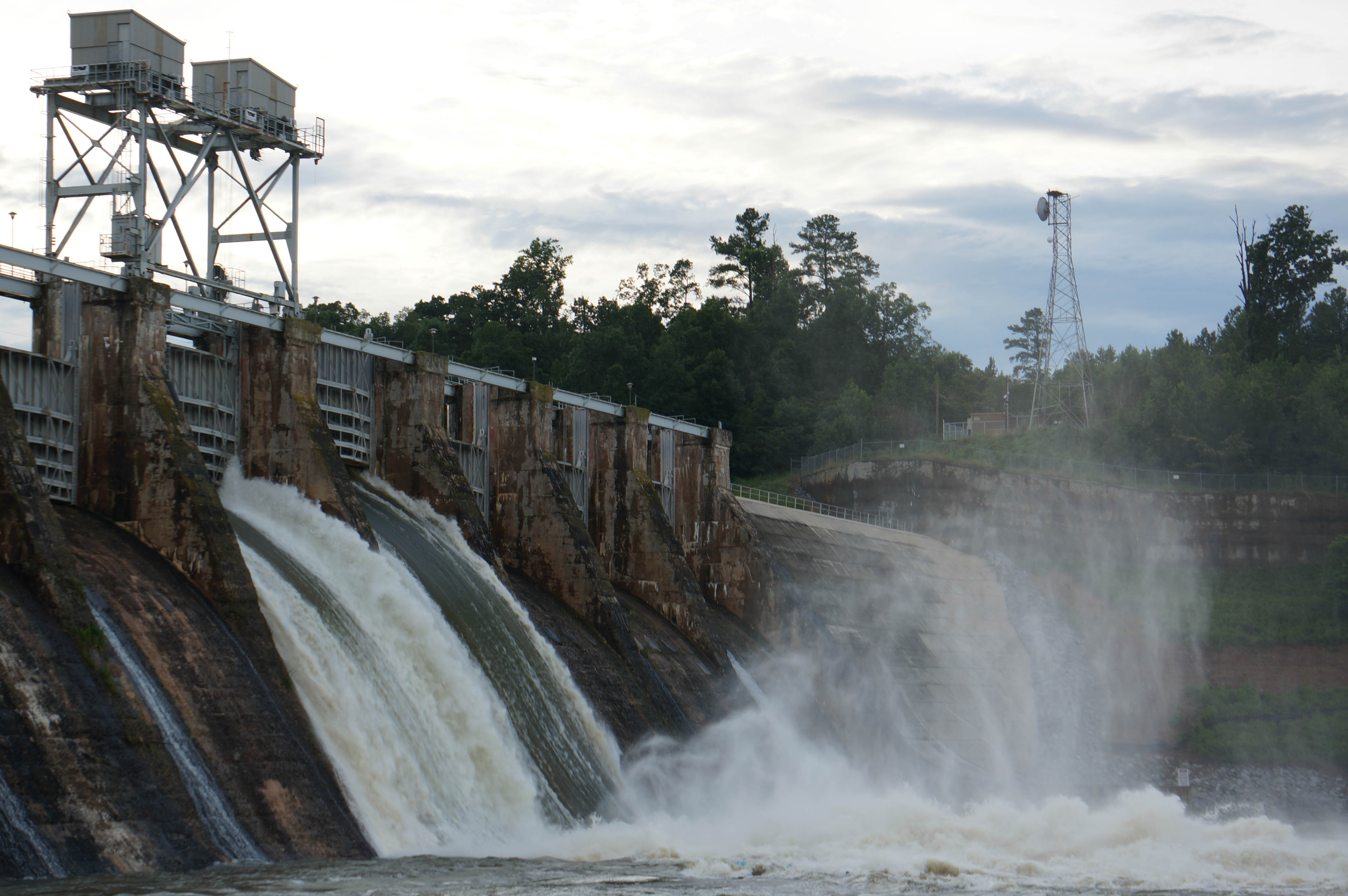
Oxford Dam-1026

Oxford Dam-1012

Oxford Dam-1025
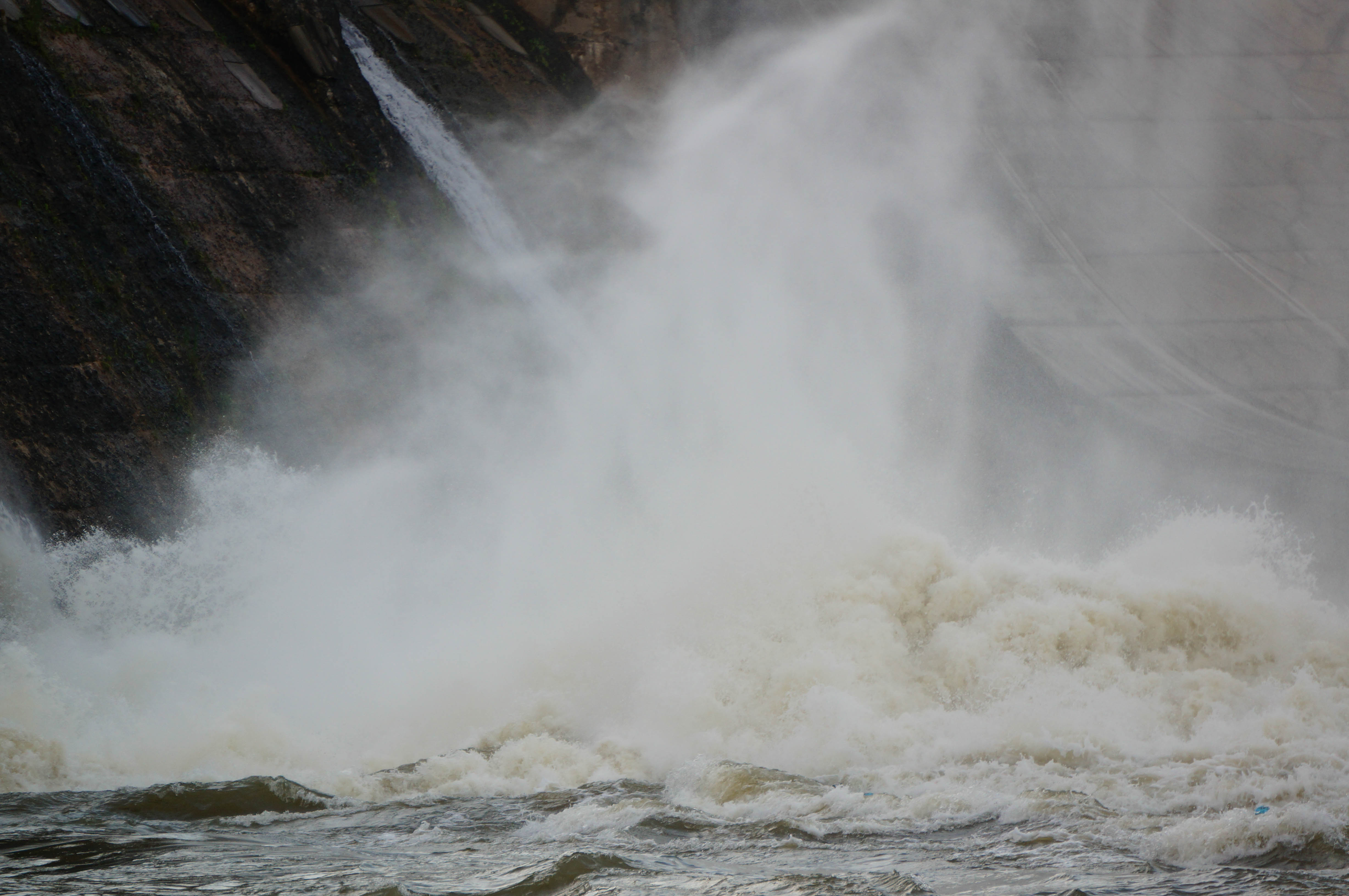
Oxford Dam-1015

Oxford Dam-1013
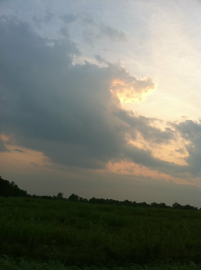
A beautiful Catawba County sunset this evening. #catawbacounty #innovatecatawba #sunset #NC #nofilter #nocontrast #organic
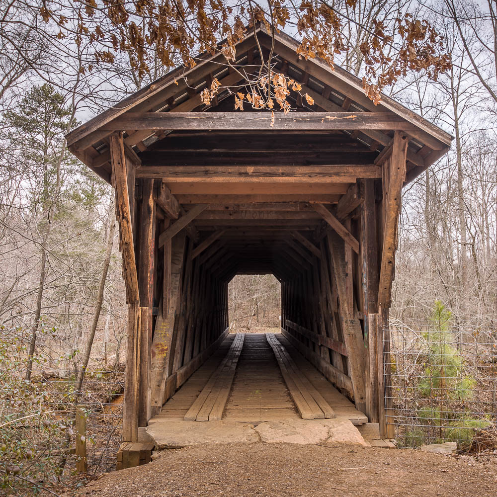
Bunker Hill Covered Bridge 1
Tonight's Sunset in Newton, NC
Topographic Map of Clines, NC, USA
Find elevation by address:

Places in Clines, NC, USA:
Places near Clines, NC, USA:
North Carolina Highway 16
3111 Lavina Ln
534 6th St Cir Ne
5751 Swinging Bridge Rd
Rock Barn Road Northeast
S Depot St, Claremont, NC, USA
Claremont
Shangri La Drive
4250 Bolick Rd
Bethany Church Road
Taylorsville Beach Seafood -
152 Rivercliff Dr
117 Ridge Point Dr
Catawba
1798 Carl Fox Rd
1798 Carl Fox Rd
102 6th Ave Ne
Catawba
Millers
146 Pierce Woods Dr
Recent Searches:
- Elevation of Jalan Senandin, Lutong, Miri, Sarawak, Malaysia
- Elevation of Bilohirs'k
- Elevation of 30 Oak Lawn Dr, Barkhamsted, CT, USA
- Elevation of Luther Road, Luther Rd, Auburn, CA, USA
- Elevation of Unnamed Road, Respublika Severnaya Osetiya — Alaniya, Russia
- Elevation of Verkhny Fiagdon, North Ossetia–Alania Republic, Russia
- Elevation of F. Viola Hiway, San Rafael, Bulacan, Philippines
- Elevation of Herbage Dr, Gulfport, MS, USA
- Elevation of Lilac Cir, Haldimand, ON N3W 2G9, Canada
- Elevation of Harrod Branch Road, Harrod Branch Rd, Kentucky, USA