Elevation of Prosperidad, Negros Occidental, Philippines
Location: Philippines > Western Visayas > Negros Occidental >
Longitude: 123.270025
Latitude: 10.516578
Elevation: 543m / 1781feet
Barometric Pressure: 95KPa
Elevation Map:
Satellite Map:
Related Photos:

Another View of Salvador Benedicto

View from La Vista Highlands Resort, San Carlos, Negros Occidental

#view
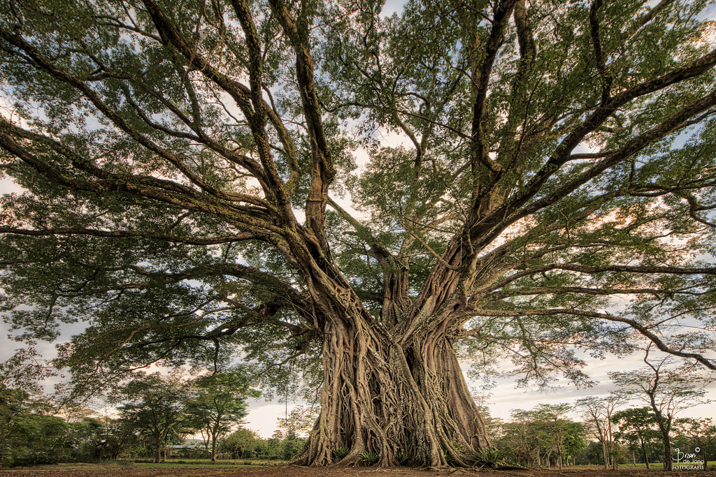
The Century Tree(s)

Road Development in Salvador Benedicto

Morning Light across the fields of Don Salvador

Sunrise touching the fields of Don Salvador

Renewable Energy: a ground mounted photovoltaic solar facility on a 350,000 sqm area at the San Carlos City Economic Zone, designed and engineered by Conergy, a leading German solar solution and service provider. goes operational today.

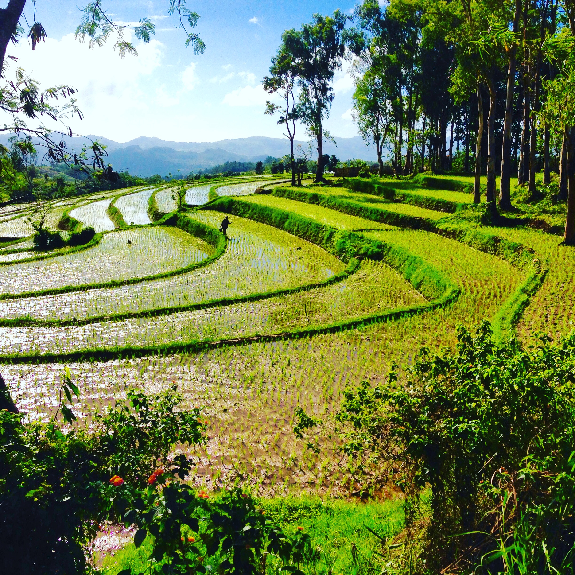
Rice terraces
Negros occidental

Mt. Canlaon Climb 2014

DSC00834.jpg
Topographic Map of Prosperidad, Negros Occidental, Philippines
Find elevation by address:

Places near Prosperidad, Negros Occidental, Philippines:
La Vista Highlands
Barangay Bunga
Don Salvador Benedicto
Bunga
Highway 16 Cafe
Lion's Park
Codcod
Minoyan
Brgy. Hall, Brgy. Rizal
Pandanon
Canlaon Mountain Tiger's Search & Rescue Headquarters
San Julio Realty
Canlandog
San Carlos City
Saint John Road
Macca Hill Cafe
Amayco
Mambukal Resort
Mailum Falls Ecopark And Mountain Resort
Mount Canlaon
Recent Searches:
- Elevation of Elwyn Dr, Roanoke Rapids, NC, USA
- Elevation of Congressional Dr, Stevensville, MD, USA
- Elevation of Bellview Rd, McLean, VA, USA
- Elevation of Stage Island Rd, Chatham, MA, USA
- Elevation of Shibuya Scramble Crossing, 21 Udagawacho, Shibuya City, Tokyo -, Japan
- Elevation of Jadagoniai, Kaunas District Municipality, Lithuania
- Elevation of Pagonija rock, Kranto 7-oji g. 8"N, Kaunas, Lithuania
- Elevation of Co Rd 87, Jamestown, CO, USA
- Elevation of Tenjo, Cundinamarca, Colombia
- Elevation of Côte-des-Neiges, Montreal, QC H4A 3J6, Canada