Elevation of Lion's Park, Don Salvador Benedicto, Negros Occidental, Philippines
Location: Philippines > Western Visayas > Negros Occidental > Don Salvador Benedicto >
Longitude: 123.200439
Latitude: 10.566226
Elevation: 467m / 1532feet
Barometric Pressure: 96KPa
Elevation Map:
Satellite Map:
Related Photos:

Another View of Salvador Benedicto

Only me

View from La Vista Highlands Resort, San Carlos, Negros Occidental
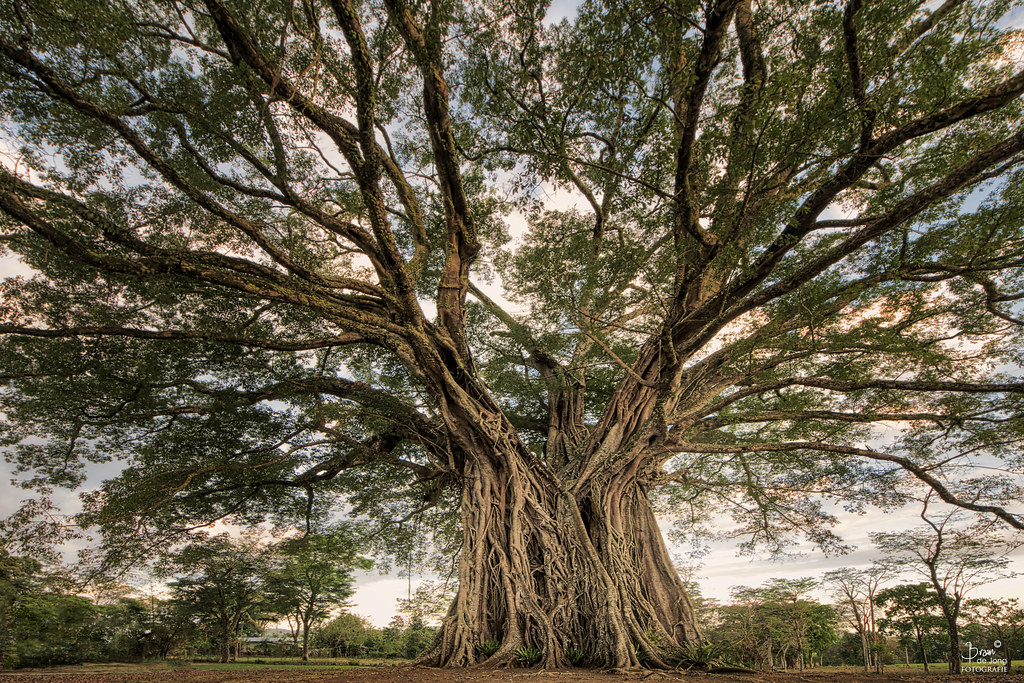
The Century Tree(s)

Maligayang pasko

Merged Twin Rivers in Murcia, Negros Occidental

Morning Light across the fields of Don Salvador

Road Development in Salvador Benedicto

Sunrise touching the fields of Don Salvador

Mt. Canlaon across the sugarcane fields of Murcia

Twin Rivers in Murcia, Negros Occidental

First Light | Mambukal Falls, Murcia

Mount Kanlaon?
A resort on a mountain

Rice terraces

6th falls!

I knew, water is the cure. ???? Summer day! #AwesomeSince90 ✊

Rock n' roll

Jumping spider

Mt. Canlaon Climb 2014

Female Common bluetail damselfly

IMG_6525_edited-1
Topographic Map of Lion's Park, Don Salvador Benedicto, Negros Occidental, Philippines
Find elevation by address:

Places near Lion's Park, Don Salvador Benedicto, Negros Occidental, Philippines:
Don Salvador Benedicto
Highway 16 Cafe
Canlandog
Pandanon
Bunga
Amayco
Grassland
Murcia
Santa Rosa
Cabatangan
Buenavista
Campuestohan Highland Resort
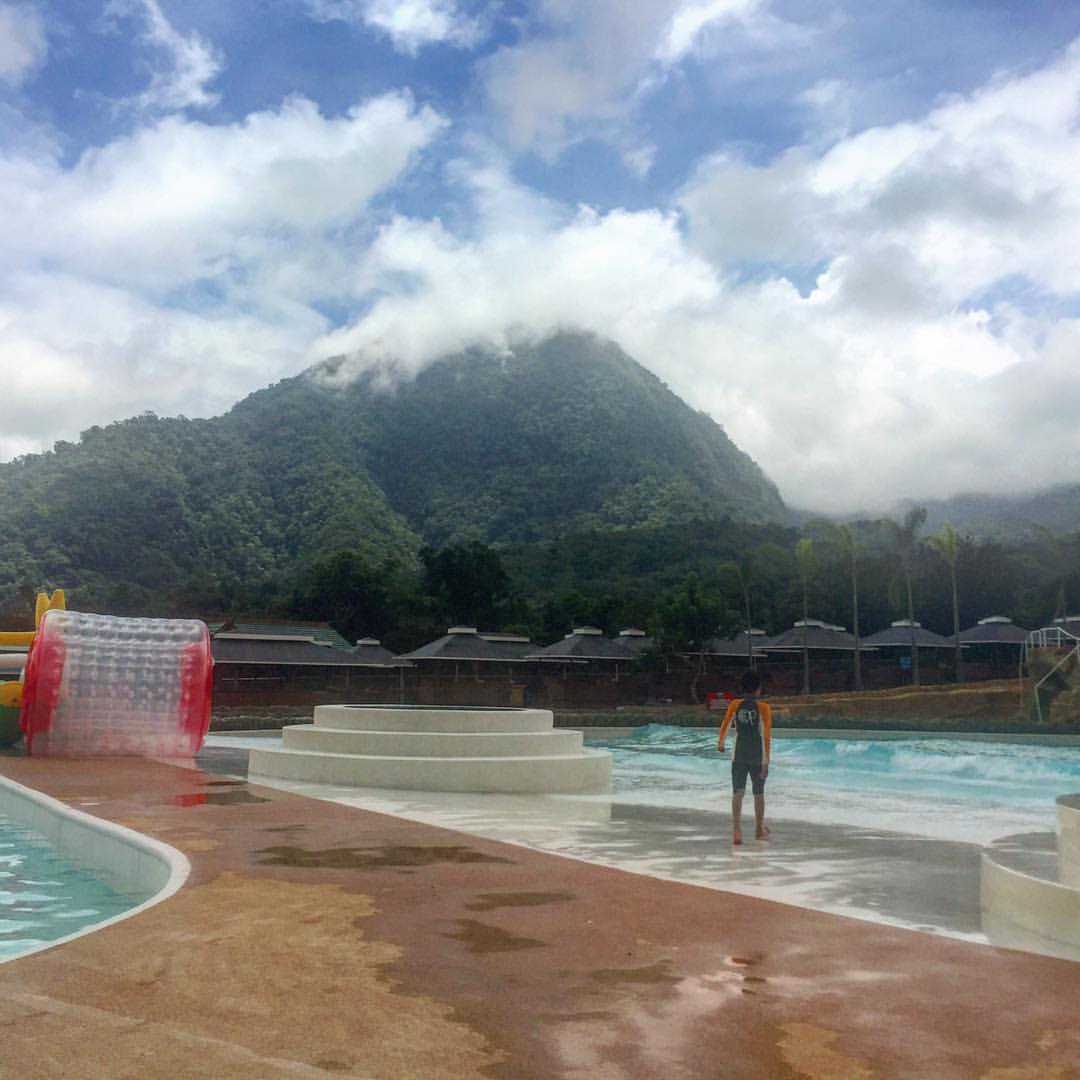
Campuestohan Highland Resort Shark Wave
Caliban
Lopez Jaena
Hicovill Highland Resort
San Fernando
Ilaya Highland Resort
Santa Cruz Resort
Abo-abo
Recent Searches:
- Elevation of 15th Ave SE, St. Petersburg, FL, USA
- Elevation of Beall Road, Beall Rd, Florida, USA
- Elevation of Leguwa, Nepal
- Elevation of County Rd, Enterprise, AL, USA
- Elevation of Kolchuginsky District, Vladimir Oblast, Russia
- Elevation of Shustino, Vladimir Oblast, Russia
- Elevation of Lampiasi St, Sarasota, FL, USA
- Elevation of Elwyn Dr, Roanoke Rapids, NC, USA
- Elevation of Congressional Dr, Stevensville, MD, USA
- Elevation of Bellview Rd, McLean, VA, USA