Elevation of Campuestohan Highland Resort, Talisay City, Negros Occidental, Philippines
Location: Philippines > Western Visayas > Negros Occidental > Cabatangan >
Longitude: 123.144703
Latitude: 10.6604066
Elevation: 764m / 2507feet
Barometric Pressure: 92KPa
Elevation Map:
Satellite Map:
Related Photos:

Another View of Salvador Benedicto
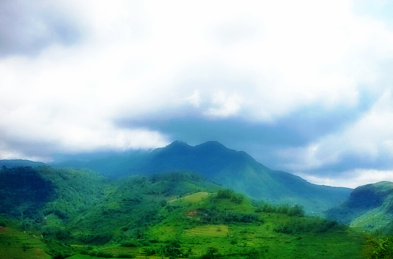
Mountins, horizons

Merged Twin Rivers in Murcia, Negros Occidental
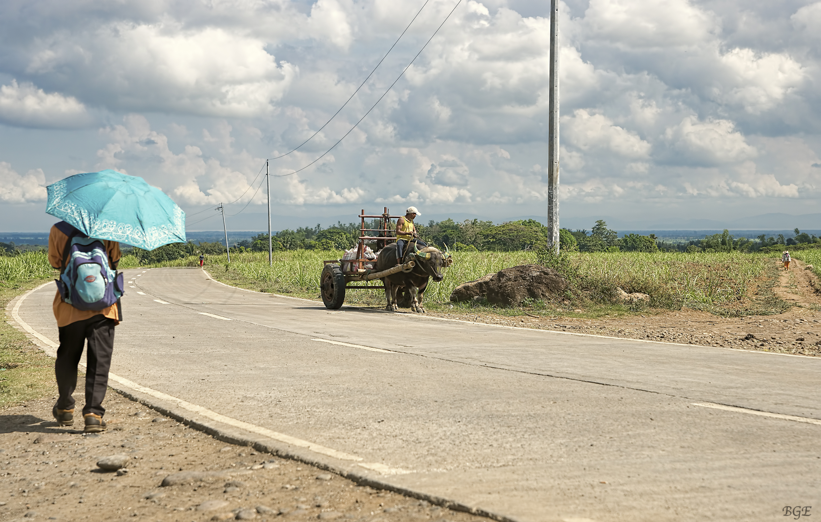
A Day in the Country
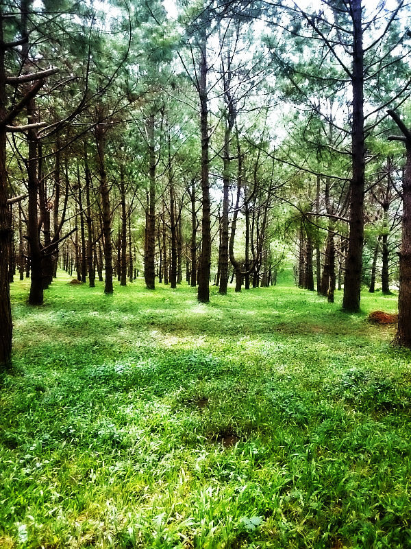
National parks, Philippines

Road Development in Salvador Benedicto

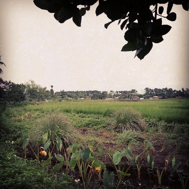
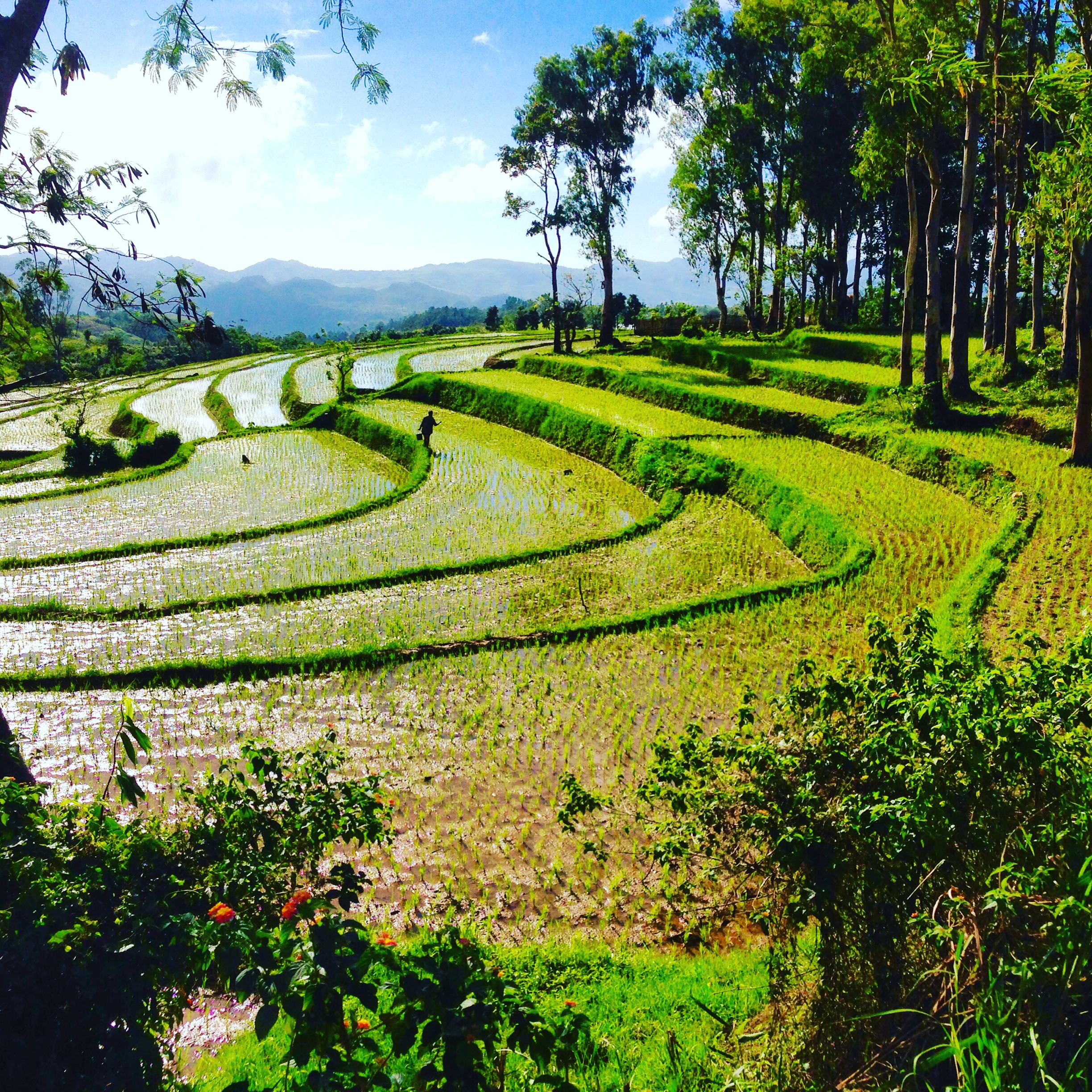
Morning Light across the fields of Don Salvador
The country side #sunday #goodmorning
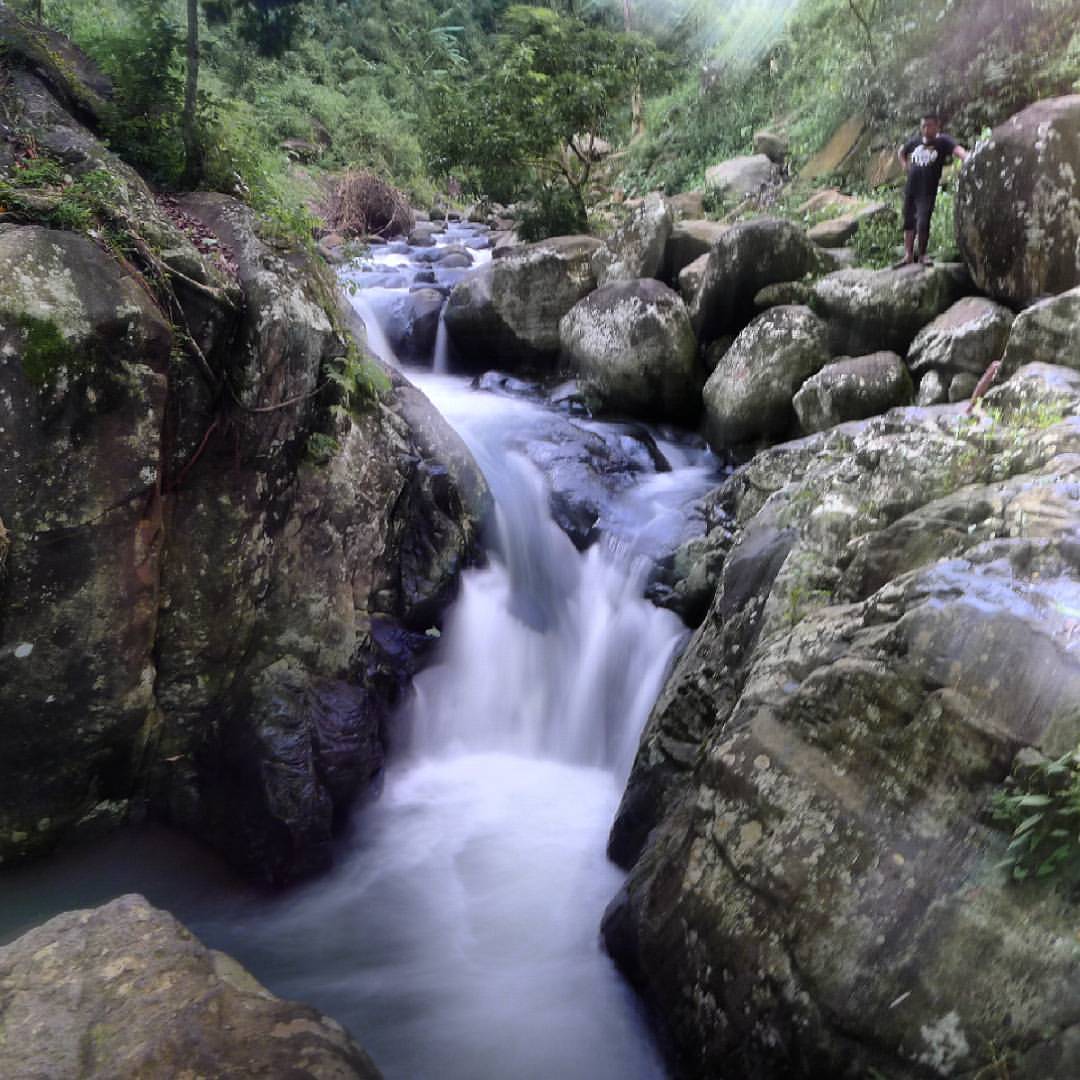
6th falls!

Goat Herd
Negros occidental
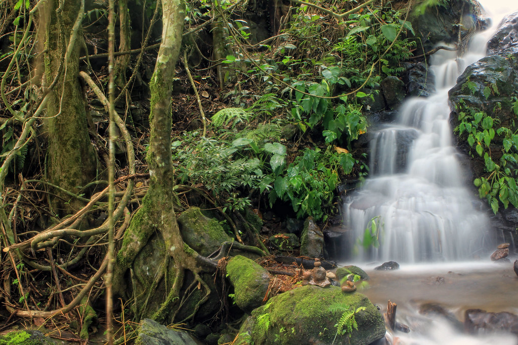
Pataan Falls
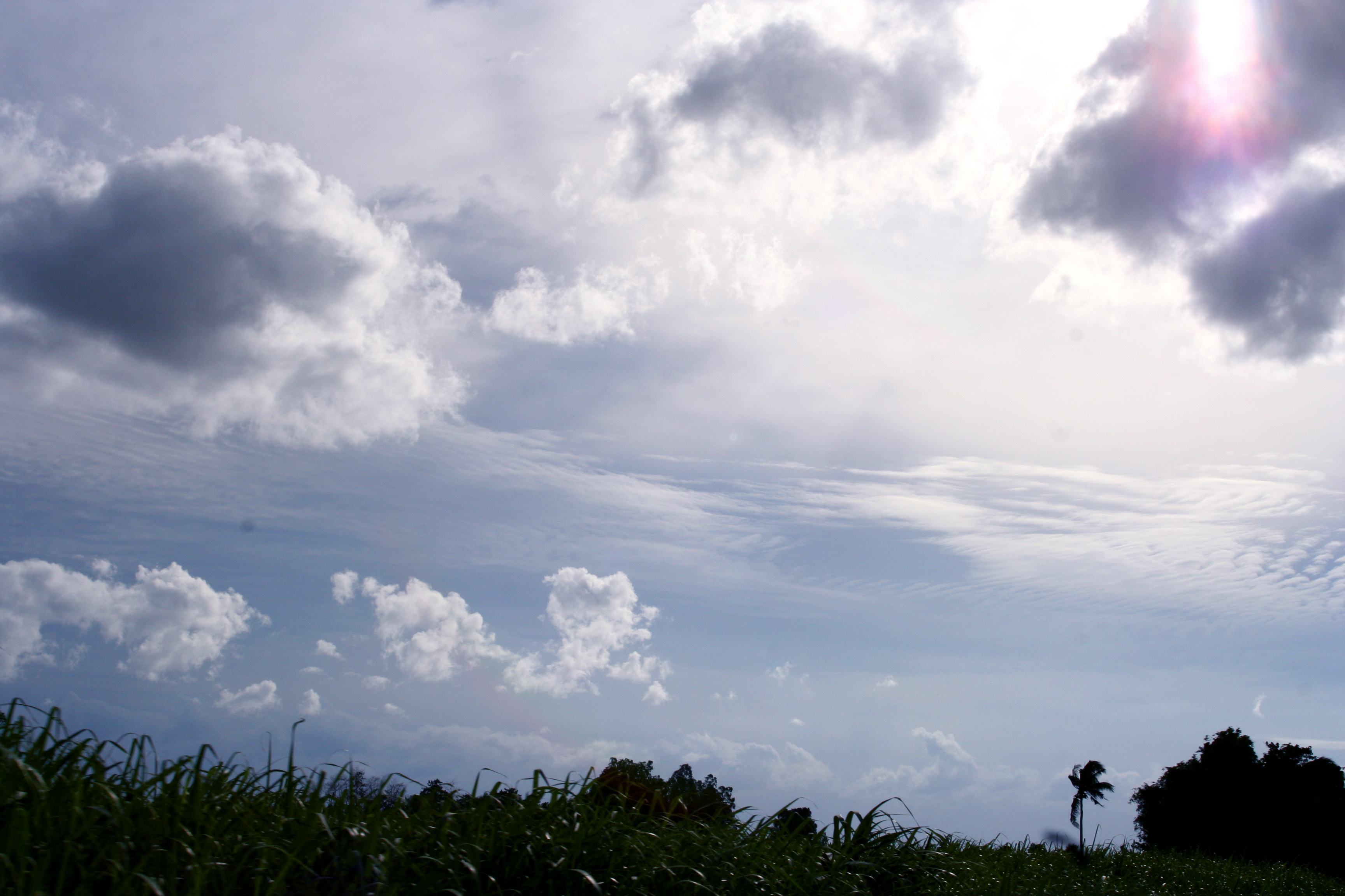
Surreal Landscape

Blankly staring on this beautfiul man-made structure. What an architecture! ???? #AwesomeSince90 ✊
Hills of Negros

I knew, water is the cure. ???? Summer day! #AwesomeSince90 ✊
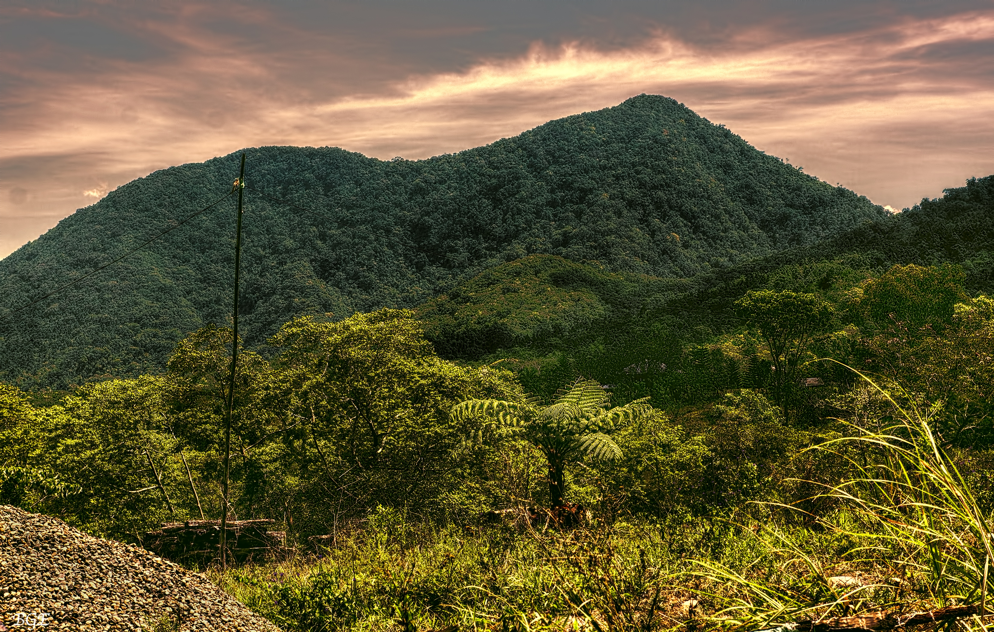
A resort on a mountain
Topographic Map of Campuestohan Highland Resort, Talisay City, Negros Occidental, Philippines
Find elevation by address:

Places near Campuestohan Highland Resort, Talisay City, Negros Occidental, Philippines:
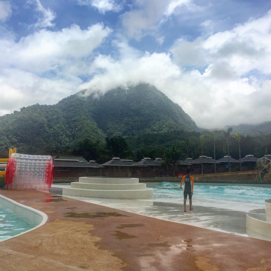
Campuestohan Highland Resort Shark Wave
Cabatangan
Grassland
San Fernando
Hicovill Highland Resort
Buenavista
Cabatangan Elementary School
Lantawan View
M4q7+76
Ilaya Highland Resort
Patag Highland Resort
Duyan Café
Patag Elementary School
Canlandog
Santa Cruz Resort
Alegria
Santa Cruz
Amayco
Abo-abo
Caliban
Recent Searches:
- Elevation of Kreuzburger Weg 13, Düsseldorf, Germany
- Elevation of Gateway Blvd SE, Canton, OH, USA
- Elevation of East W.T. Harris Boulevard, E W.T. Harris Blvd, Charlotte, NC, USA
- Elevation of West Sugar Creek, Charlotte, NC, USA
- Elevation of Wayland, NY, USA
- Elevation of Steadfast Ct, Daphne, AL, USA
- Elevation of Lagasgasan, X+CQH, Tiaong, Quezon, Philippines
- Elevation of Rojo Ct, Atascadero, CA, USA
- Elevation of Flagstaff Drive, Flagstaff Dr, North Carolina, USA
- Elevation of Avery Ln, Lakeland, FL, USA