Elevation of Pringle Ferry Rd, Georgetown, SC, USA
Location: United States > South Carolina > Georgetown County > Georgetown >
Longitude: -79.283286
Latitude: 33.431544
Elevation: 8m / 26feet
Barometric Pressure: 101KPa
Elevation Map:
Satellite Map:
Related Photos:
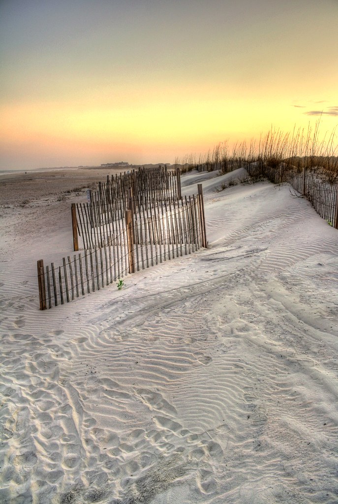
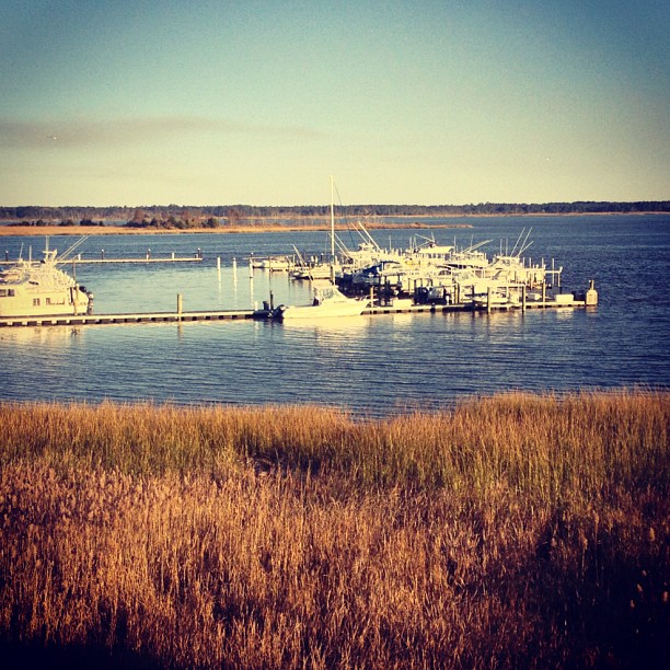
sand trap

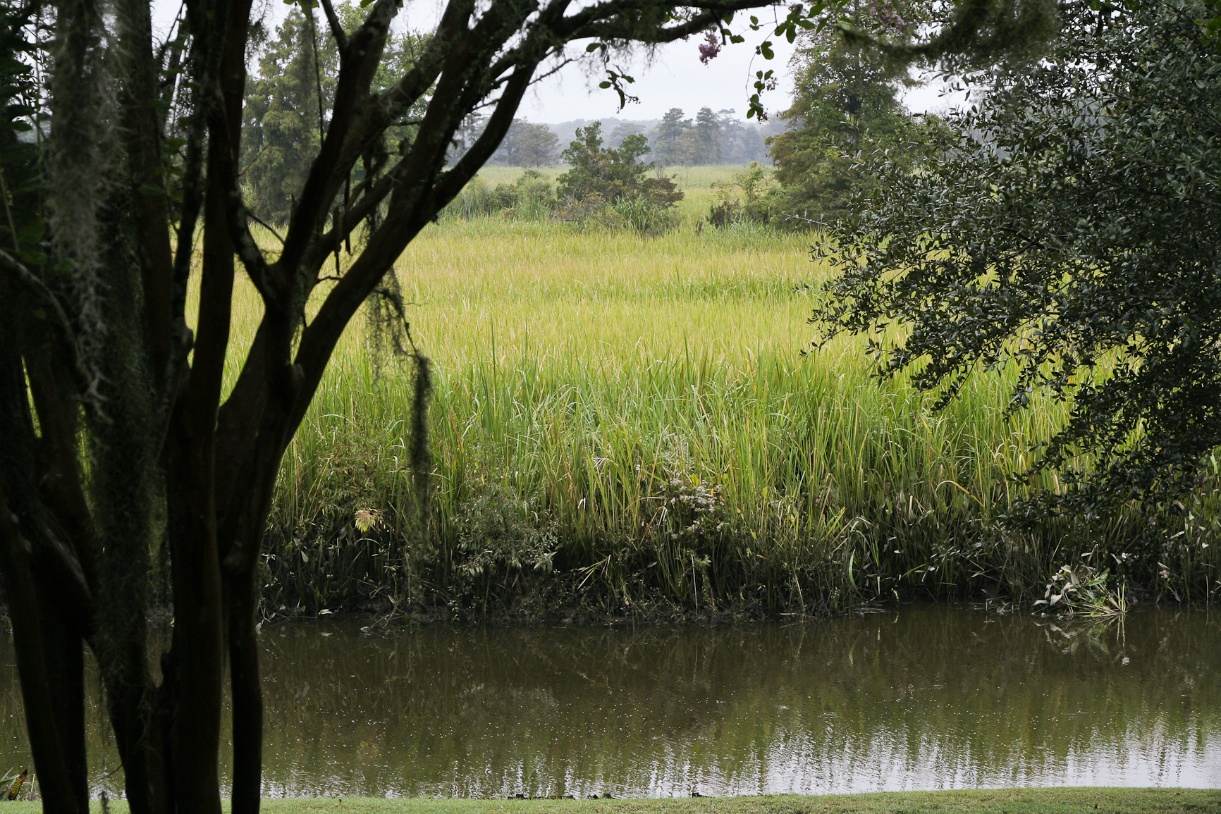
View-A-20_Sarver_NIWBNERR

Chapel View

Video of waves and sun rising

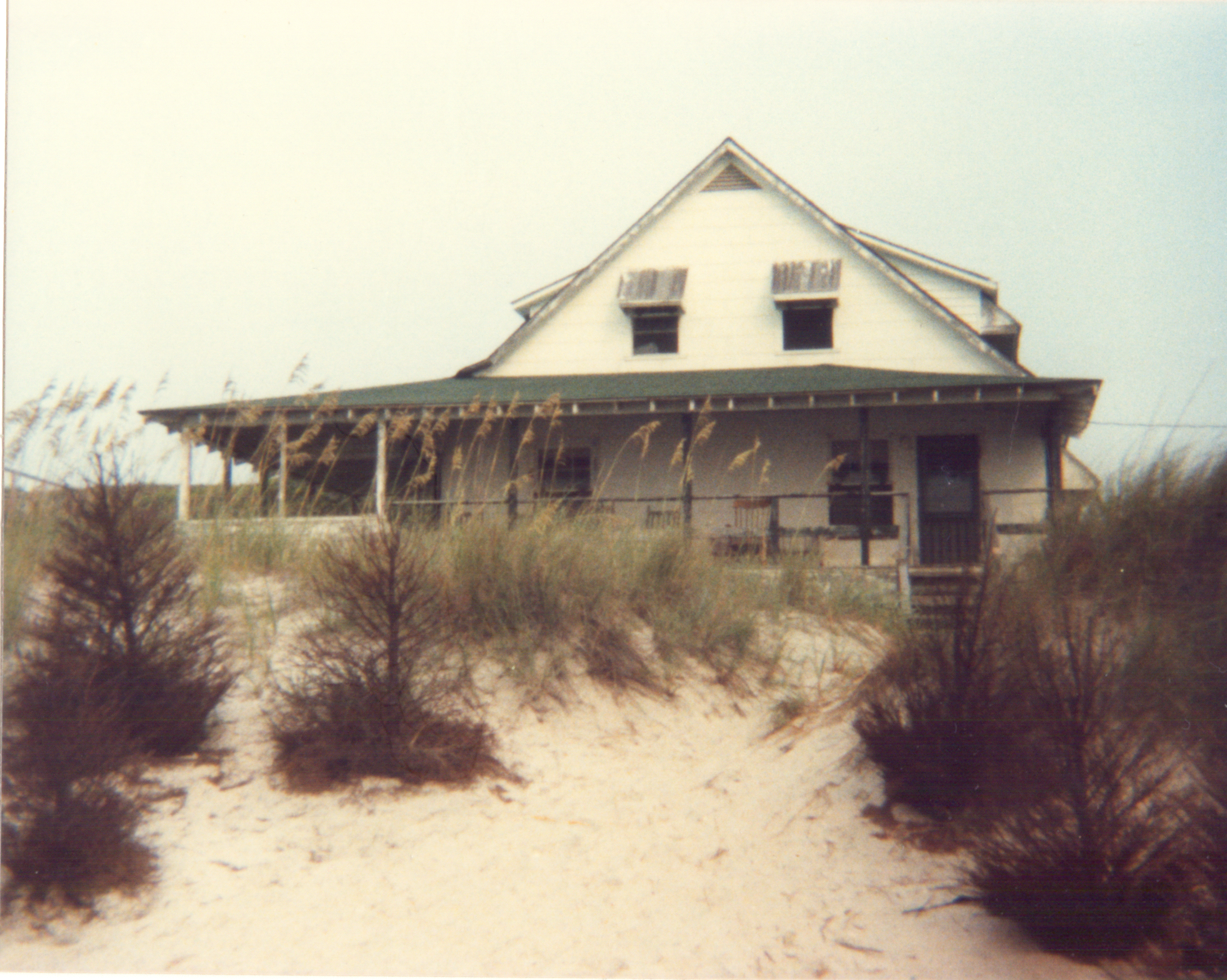
beachfront property

Epic view from the bridge

morning fog

sweet southern comfort

Sunrise at Pawley's Island

Sunrise Pawley's Island
pawleys island 1986 - port arthur long view
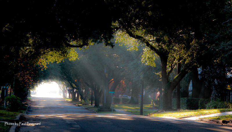
Sunrise on Meeting Street

The Hunts, Polks and McLaurins Panorama
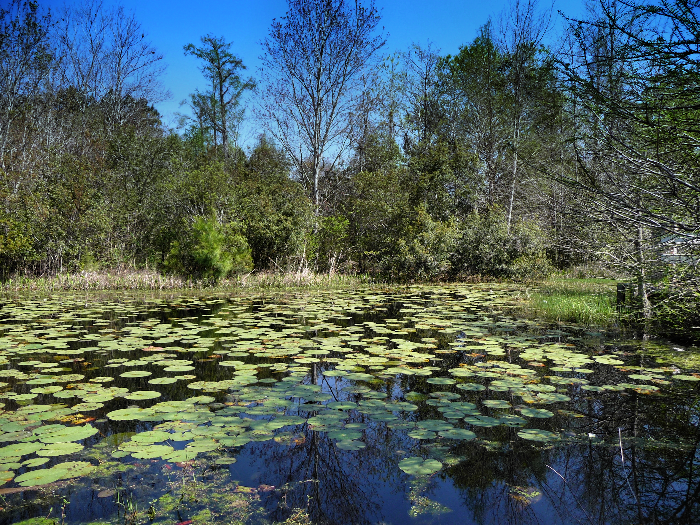
Willbrook Plantation GC, Myrtle Beach No 15 pond 2
I've had worse hotel views.

Sowing is not as Difficult as Reaping

2013.09.26 95K Views

Window view
21SEP11: Caledonia marsh

Video of Early morning beach waves and birds
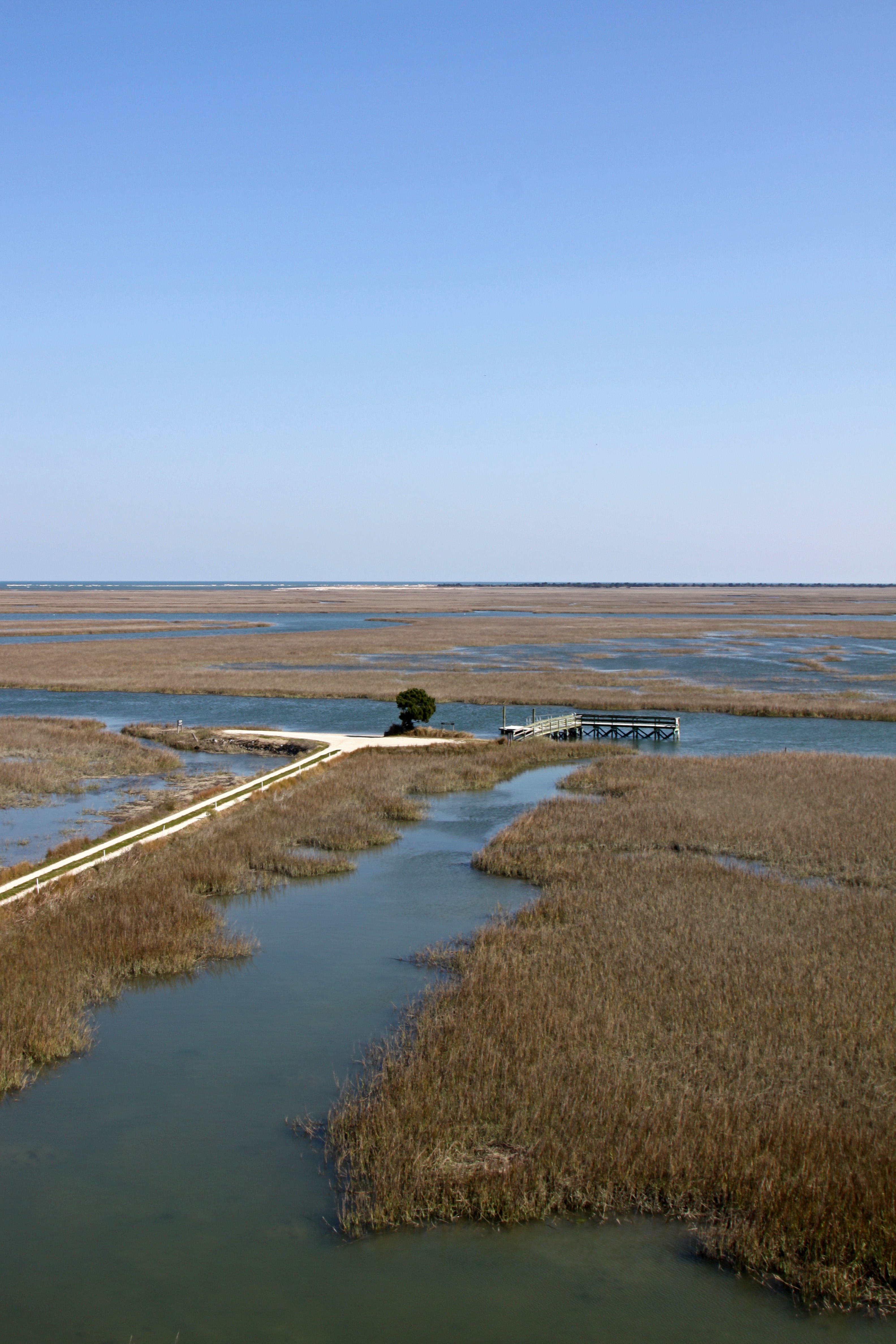
Tower View
Topographic Map of Pringle Ferry Rd, Georgetown, SC, USA
Find elevation by address:

Places near Pringle Ferry Rd, Georgetown, SC, USA:
336 Browns Ferry Rd
Georgetown County
78 Mormon Ln
129 Field Loop Rd
526 Francis Parker Rd
69 Jessamine St
Rose Avenue
2261 Brier St
59 Captain Anthony White Ln
87 Francis Parker Rd
2nd Avenue, Georgetown, SC, USA
273 Forest Ave
359 Forest Ave
1016 2nd Avenue
Jericho Court
1900 Jasper St
1899 Sumter St
1908 Seitter St
1864 Pickens St
568 Wildewood Ave
Recent Searches:
- Elevation of Elwyn Dr, Roanoke Rapids, NC, USA
- Elevation of Congressional Dr, Stevensville, MD, USA
- Elevation of Bellview Rd, McLean, VA, USA
- Elevation of Stage Island Rd, Chatham, MA, USA
- Elevation of Shibuya Scramble Crossing, 21 Udagawacho, Shibuya City, Tokyo -, Japan
- Elevation of Jadagoniai, Kaunas District Municipality, Lithuania
- Elevation of Pagonija rock, Kranto 7-oji g. 8"N, Kaunas, Lithuania
- Elevation of Co Rd 87, Jamestown, CO, USA
- Elevation of Tenjo, Cundinamarca, Colombia
- Elevation of Côte-des-Neiges, Montreal, QC H4A 3J6, Canada