Elevation of Pringle Cir, Corona, CA, USA
Location: United States > California > Riverside County > Corona >
Longitude: -117.57213
Latitude: 33.8418929
Elevation: 344m / 1129feet
Barometric Pressure: 97KPa
Elevation Map:
Satellite Map:
Related Photos:
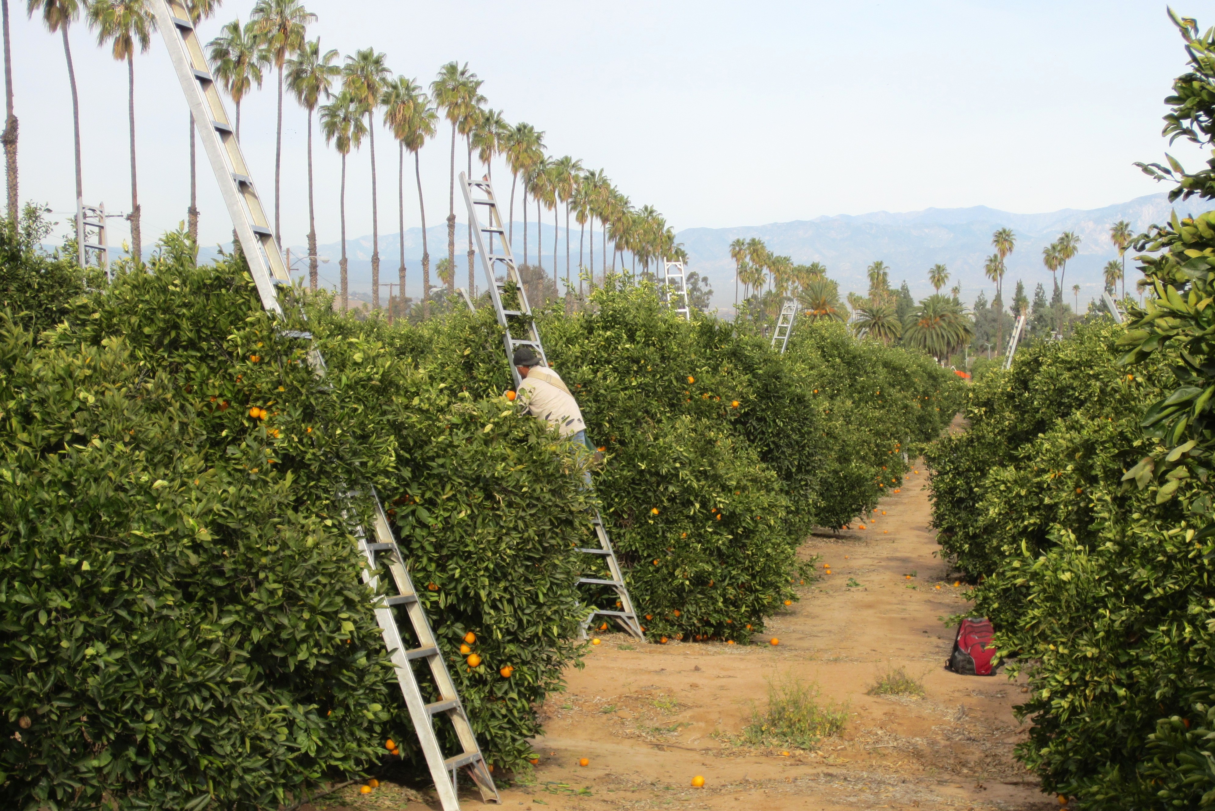
Harvesting Oranges in Riverside #2
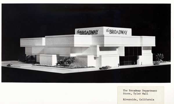
Riverside - The Broadway
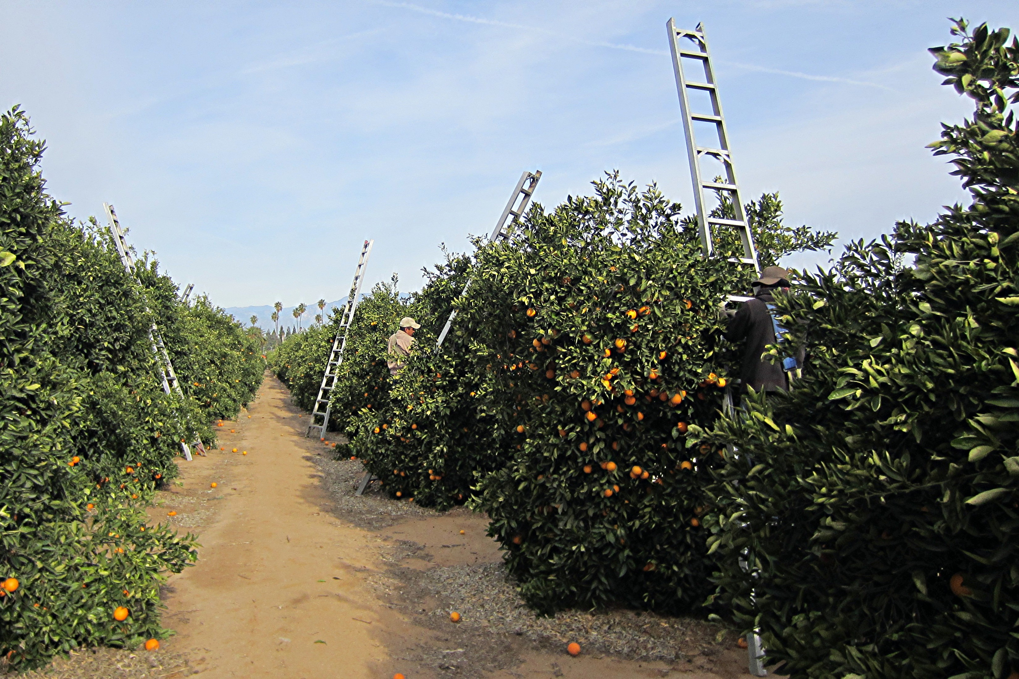
Harvesting Oranges in Riverside #1
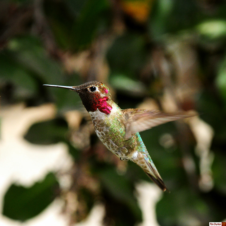
Male Anna's Hummer 2

Riverside - 6350 Van Buren Blvd.
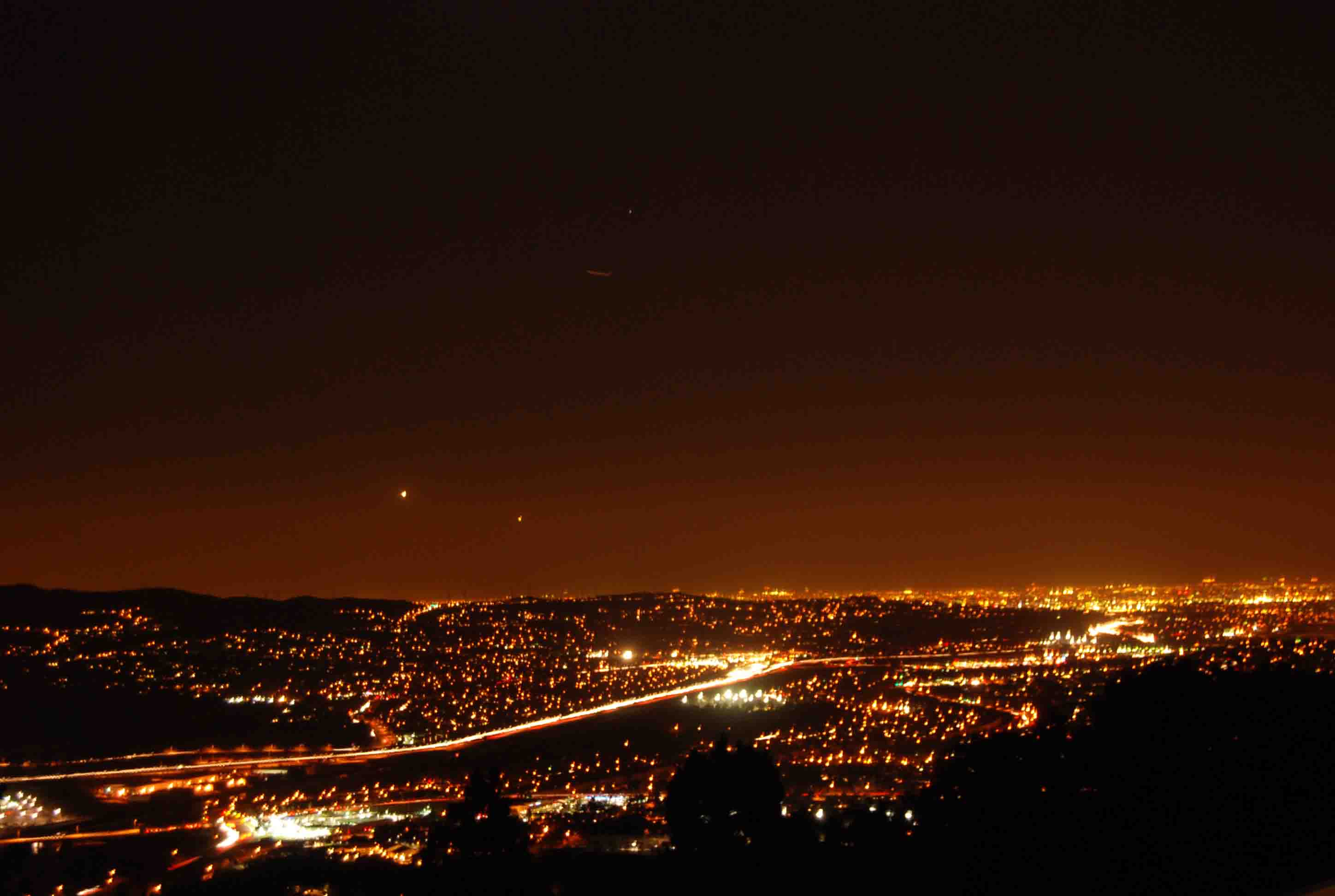
Night View
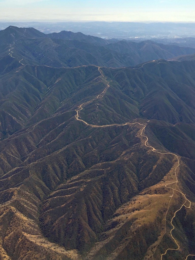
Somewhere near Corona in CA - view from airplane window
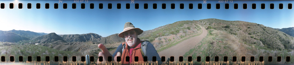
Harding Trail Spinner
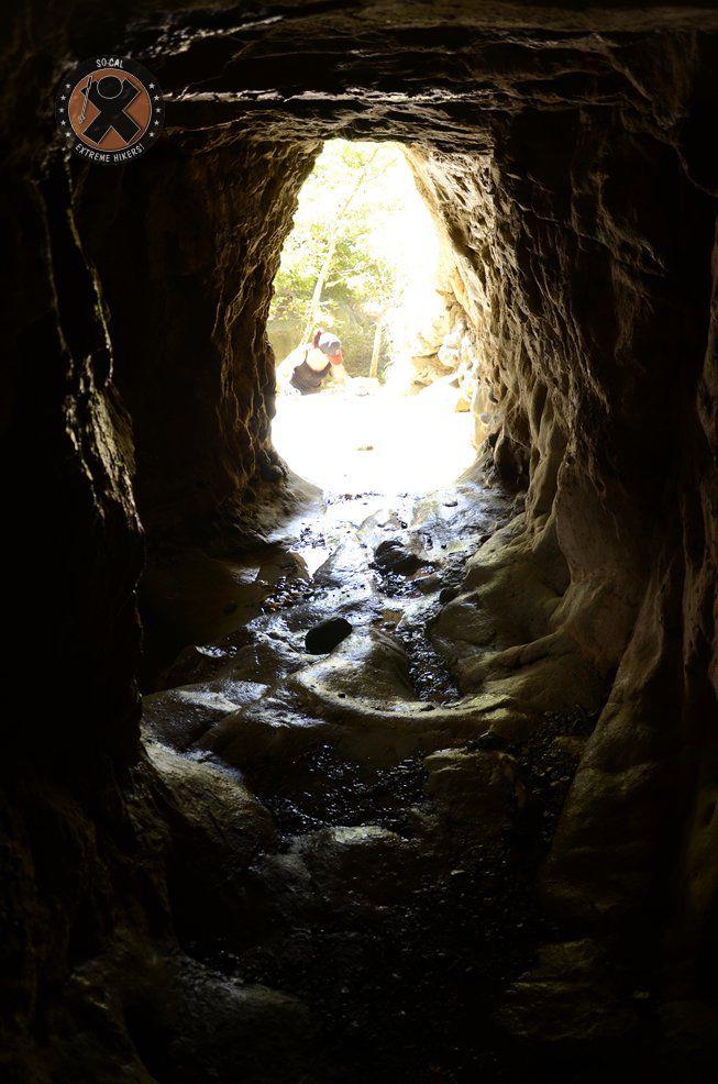
View from the inside of the mine shaft
East Grand Avenue at North Main Street, Corona Ca (1973)-01

1959 Cadillac Coupe DeVille

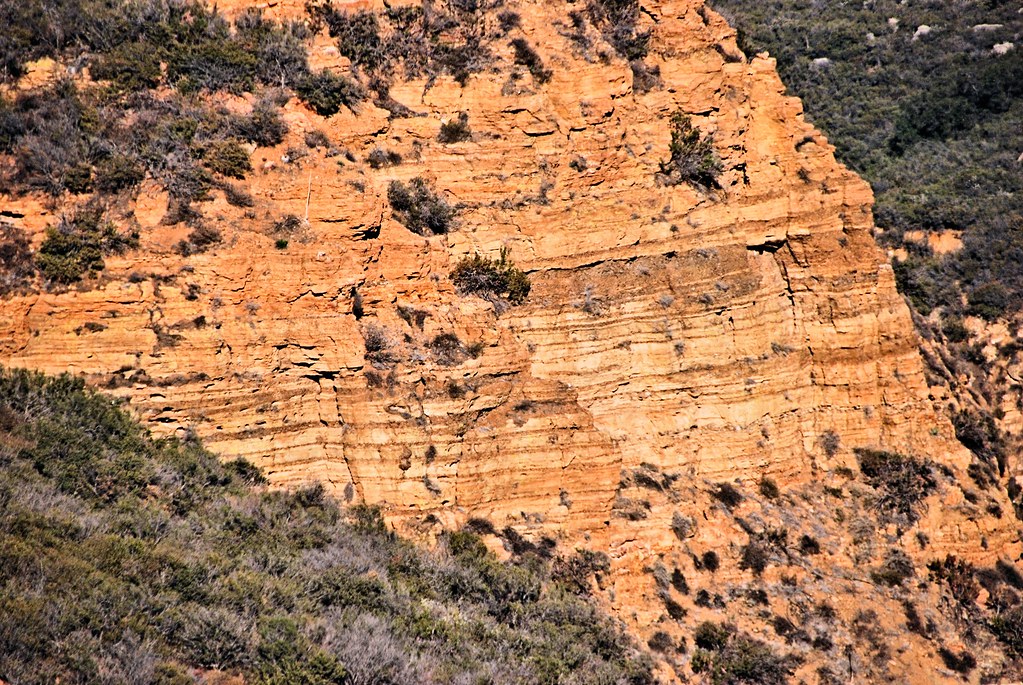
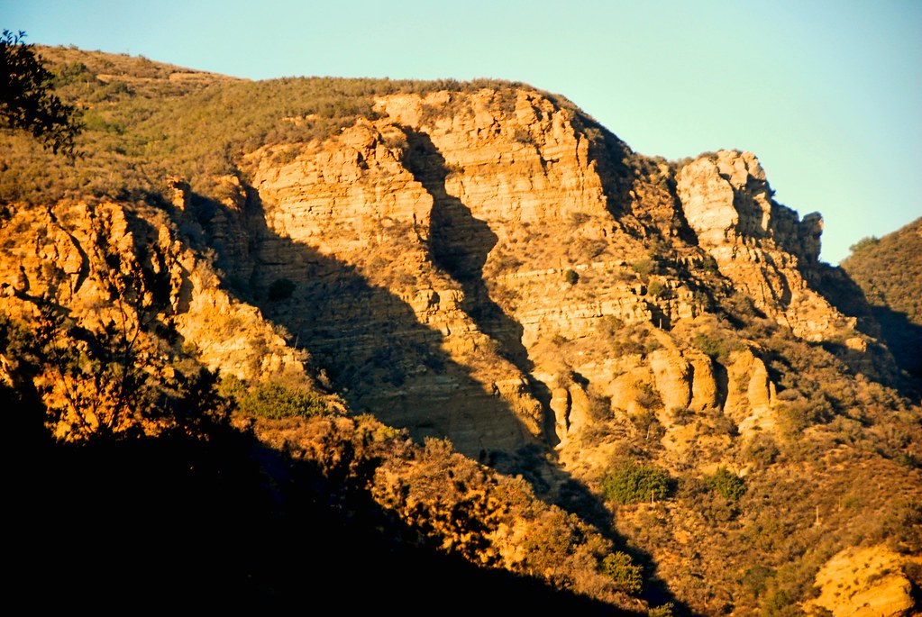
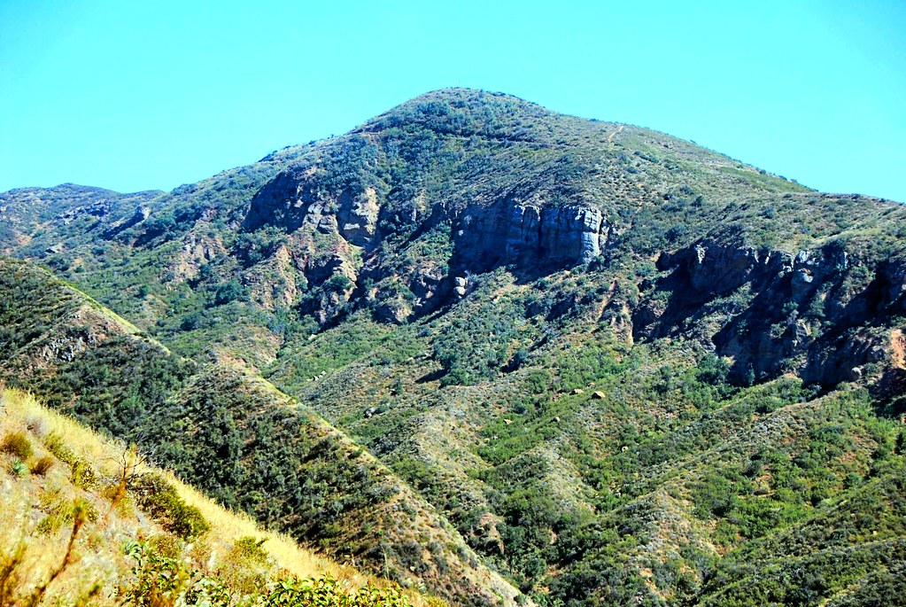
Southland Mtns
Twilight View
1957 Chevrolet Bel Air Sport Coupe - red - rvl
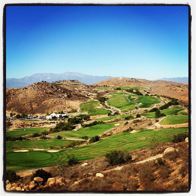
Viewing Terrace
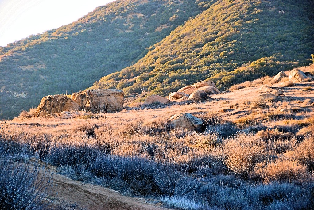
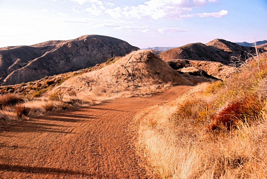
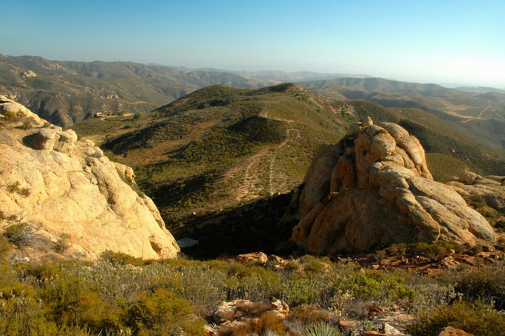
Harding Truck Trail 2/29/2012 #4
#santarosaplateau #california_igers #jj_forum_0419

Car Wash, Working At The Car Wash Yeah
Ford Explorer XP8 by Saleen 1998-2001

#jj_forum_0420

Is your baby this cute? Prove it! $50.00, 5 picks, online viewing. #perfectlyedited #perfectlyposed #cutiepatooty

Early Moon over Chaparral 2-14-2011

Mariposa Preserve #2

DSC_0142.jpg

DSC_0219.jpg
The Road

The Glow of the Pacific
Black Star Canyon
Always enjoy playing here.
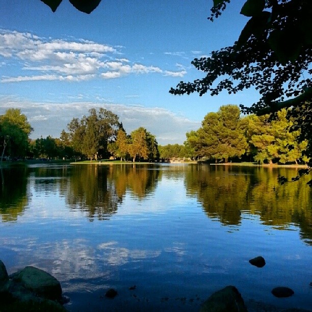
Just a lil' walk in the park...
Mariposa Preserve (color)
Black Star Canyon
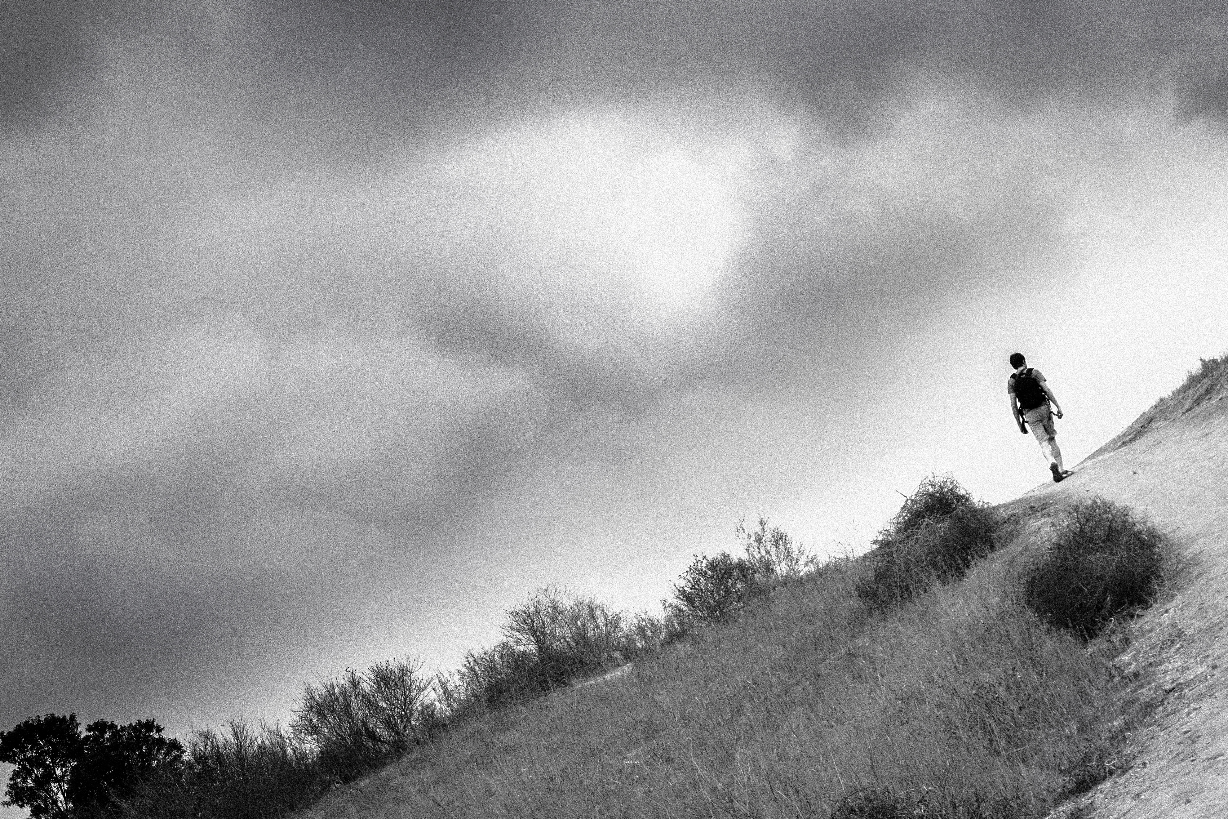
A New Direction
#new#landscape#nature#SantaAnaRiver#instalove#lol#tbt#blue#sky#parks#outdoors#summer#heat#Anaheim#justanidea#express#yourself#CA#USA

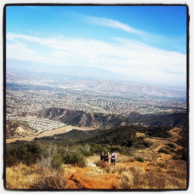
10 mile hike to start 2014. .WOOT!

Laguna Beach Cresent Bay
Mound and mountains

#new#travel#followme#tourism#instagramers#photolover#tbt#lol#nature#vivid#color#blue#sky#myart#egypt#redSea#tabaheight#justanidea#fun#lol#stillphoto#snapshot#peace#samiaphotography.com#losangeles#california#usa
Modjeska Canyon
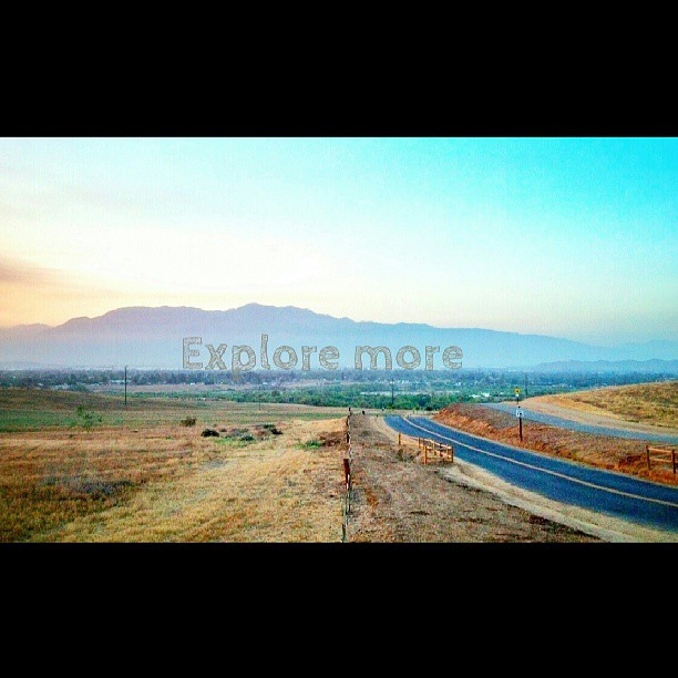
Happy Friday everyone! #exploremore #nature #hiddenvalley #sunset #landscape #photolife
Little Yosemite
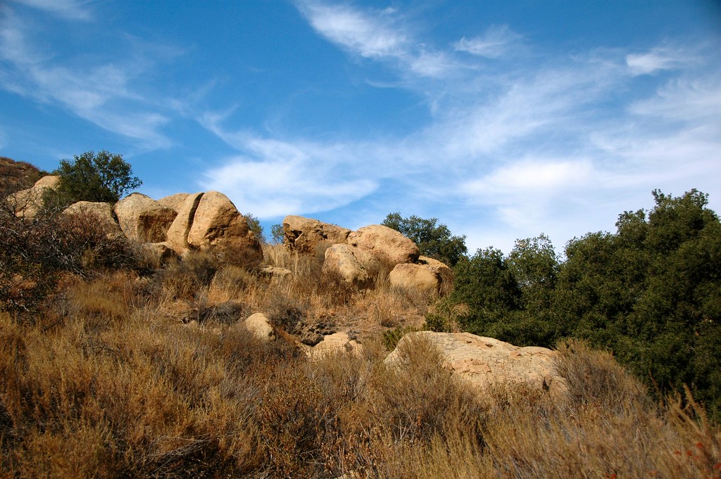
Rocks along Silverado Creek Trail
Topographic Map of Pringle Cir, Corona, CA, USA
Find elevation by address:

Places near Pringle Cir, Corona, CA, USA:
2964 Bishop Way
3211 S Main St
3540 Birchleaf Dr
2550 S Main St
2550 S Main St
411 Orange Heights Ln
559 C L Fleming Cir
674 Gambel Dr
3770 Wallowa Cir
895 Sheppard Crest Dr
3785 Mountain Gate Dr
Royal Summit Circle
304 W Mission Rd
4063 Suzie Cir
2885 Coral St
3348 Redport Dr
Quiet Meadow Circle
Winston Way, Corona, CA, USA
1379 Roadrunner Dr
803 Magnolia Ave
Recent Searches:
- Elevation of Elwyn Dr, Roanoke Rapids, NC, USA
- Elevation of Congressional Dr, Stevensville, MD, USA
- Elevation of Bellview Rd, McLean, VA, USA
- Elevation of Stage Island Rd, Chatham, MA, USA
- Elevation of Shibuya Scramble Crossing, 21 Udagawacho, Shibuya City, Tokyo -, Japan
- Elevation of Jadagoniai, Kaunas District Municipality, Lithuania
- Elevation of Pagonija rock, Kranto 7-oji g. 8"N, Kaunas, Lithuania
- Elevation of Co Rd 87, Jamestown, CO, USA
- Elevation of Tenjo, Cundinamarca, Colombia
- Elevation of Côte-des-Neiges, Montreal, QC H4A 3J6, Canada