Elevation of C L Fleming Cir, Corona, CA, USA
Location: United States > California > Riverside County > Corona >
Longitude: -117.56363
Latitude: 33.8491054
Elevation: 307m / 1007feet
Barometric Pressure: 98KPa
Elevation Map:
Satellite Map:
Related Photos:

Consolidated PB4Y-2 Privateer N2871G
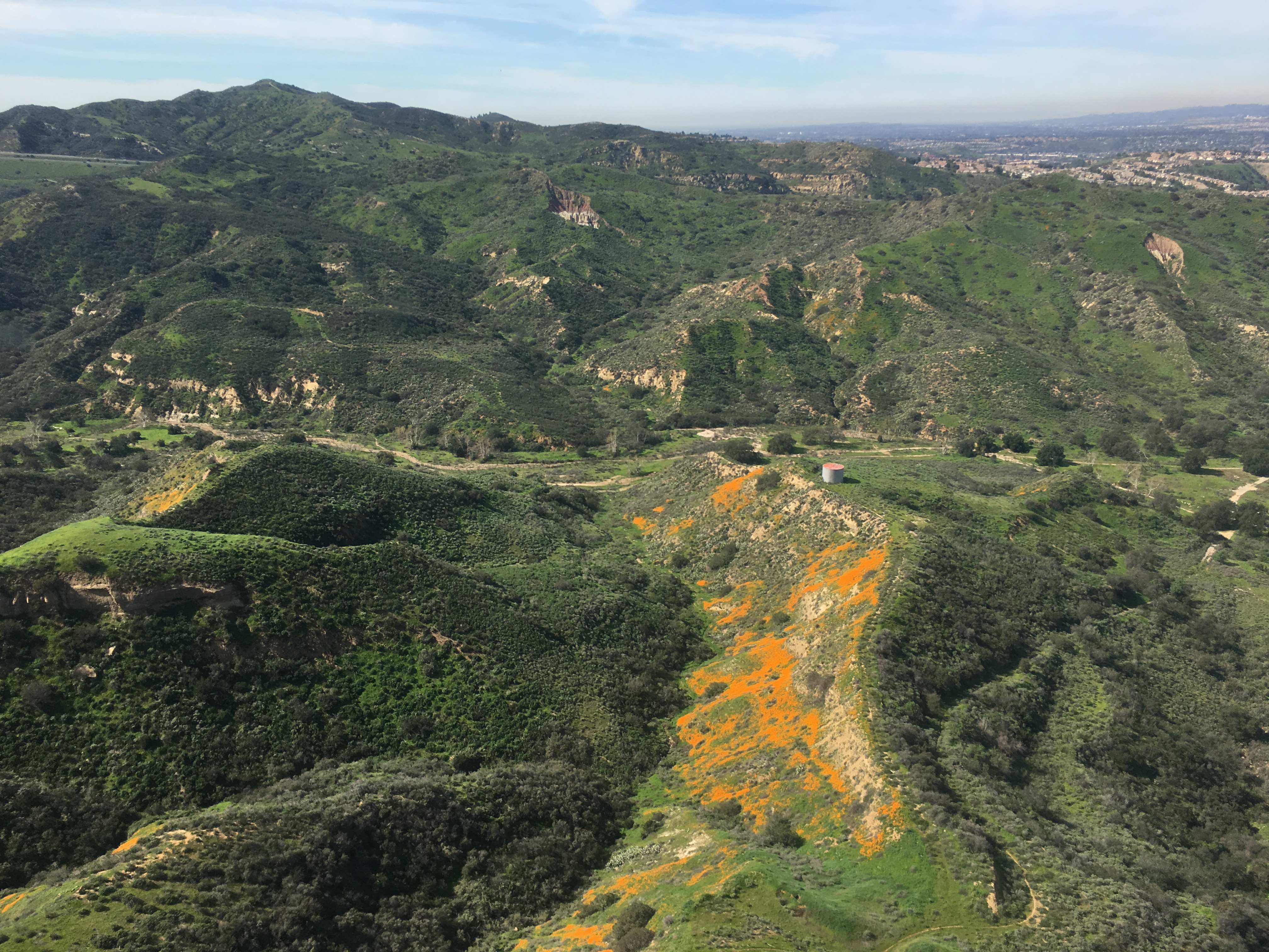
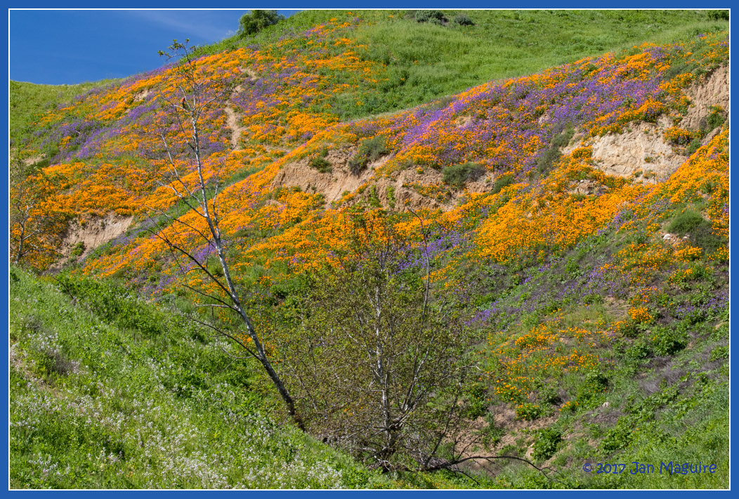
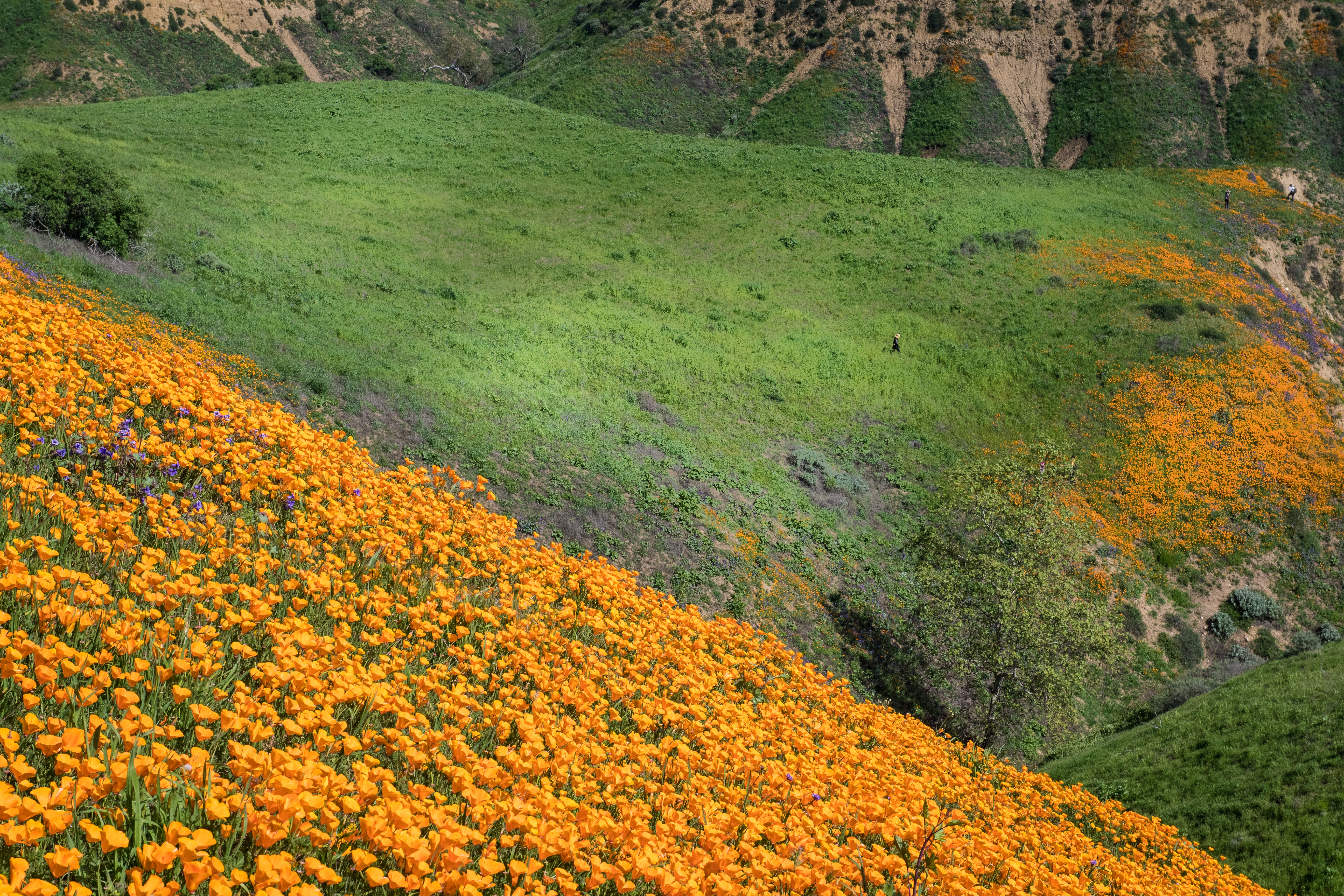
Gypsum Canyon Poppies

Boeing B-17G Flying Fortress

1959 Cadillac Coupe DeVille
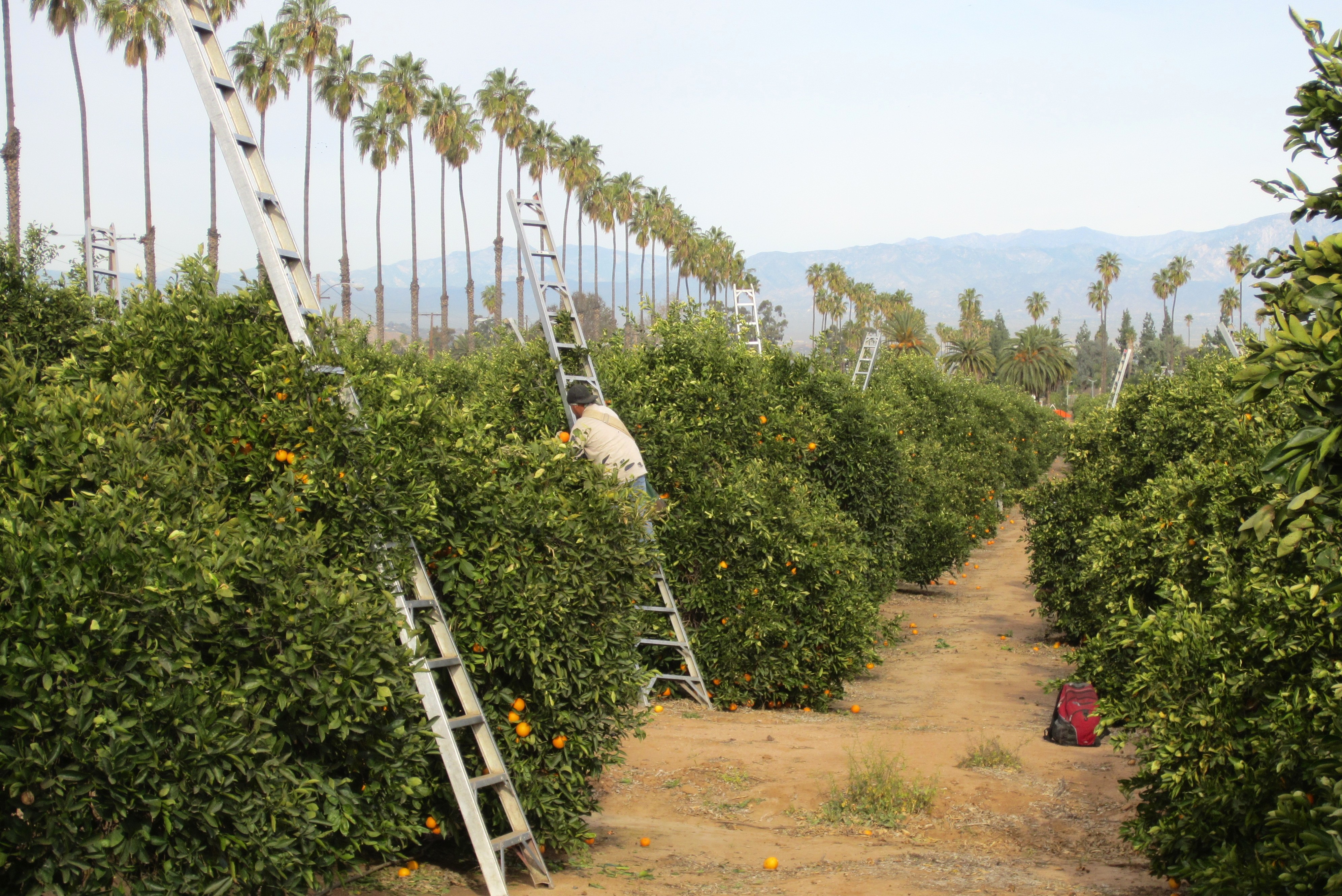
Harvesting Oranges in Riverside #2
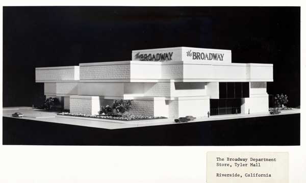
Riverside - The Broadway
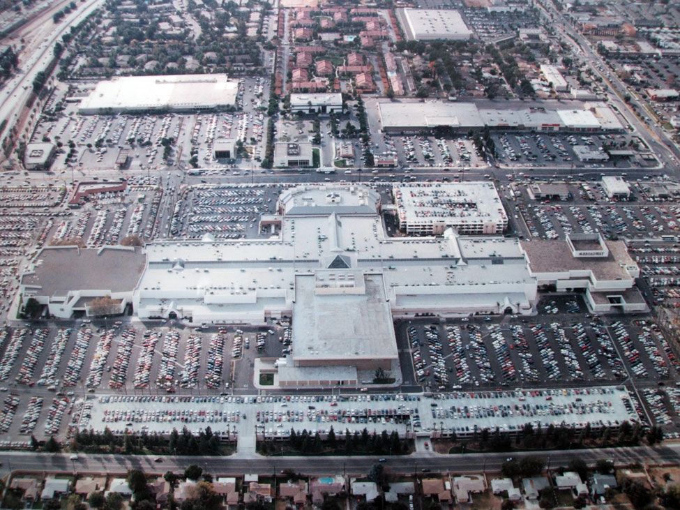
Riverside - Galleria at Tyler
The Double Rainbow in a Storm
Somewhere near Corona in CA - view from airplane window
Venus and the Moon at Sunset

F-22 Raptor & Heritage Flight : USAF F-22 Raptor Demonstration Team & Vintage Fighter Aircraft Heritage Flight
San Gabriel Mtns
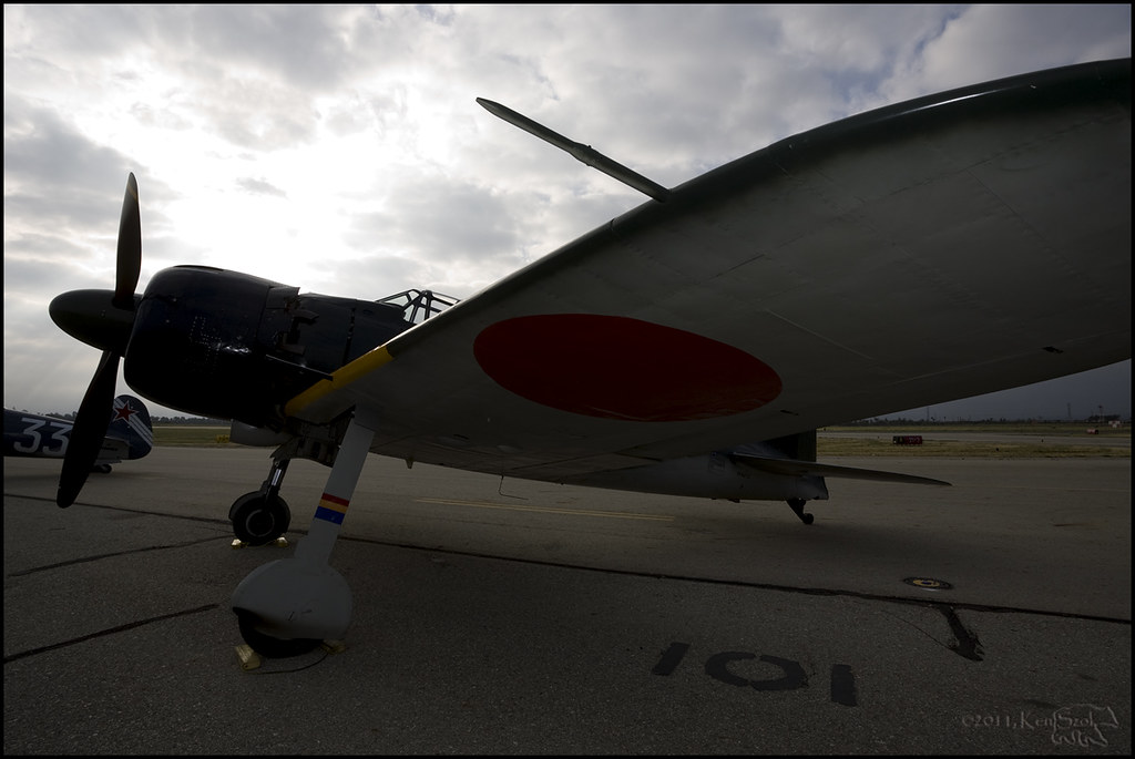
Zero under Cloudy Skies

Riverside - 6350 Van Buren Blvd.
Cleveland National Forest
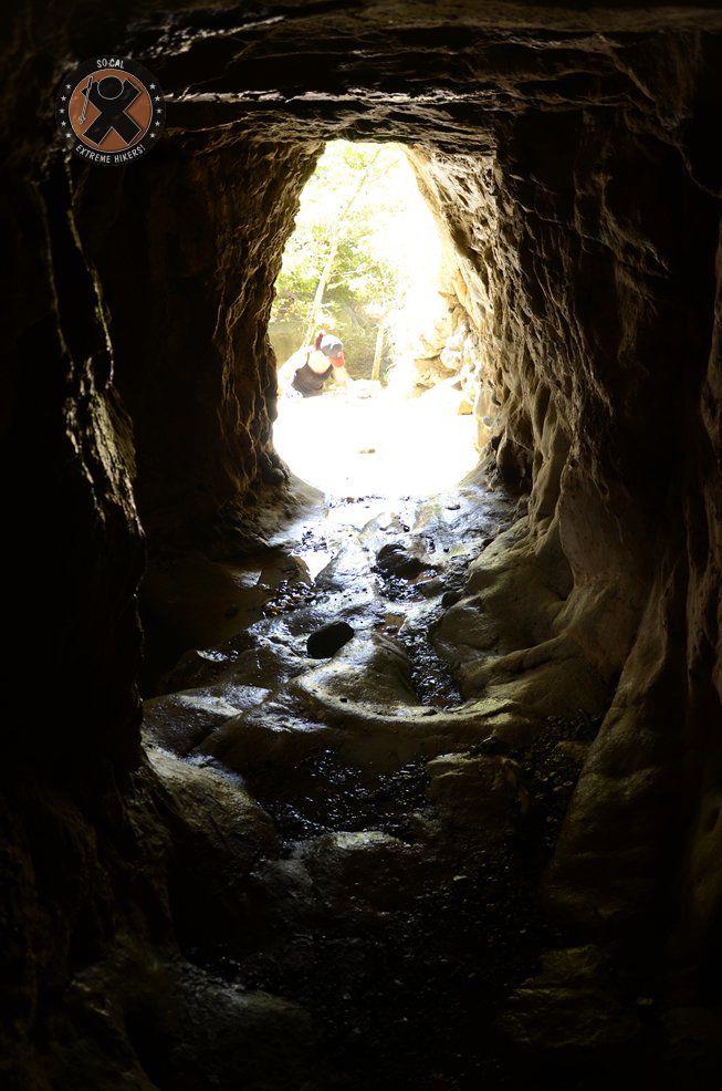
View from the inside of the mine shaft
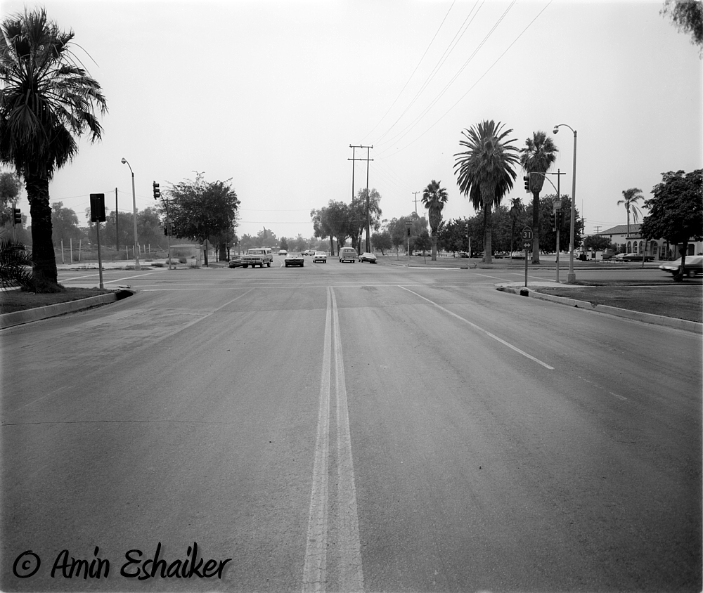
East Grand Avenue at North Main Street, Corona Ca (1973)-01
Harding Trail Spinner

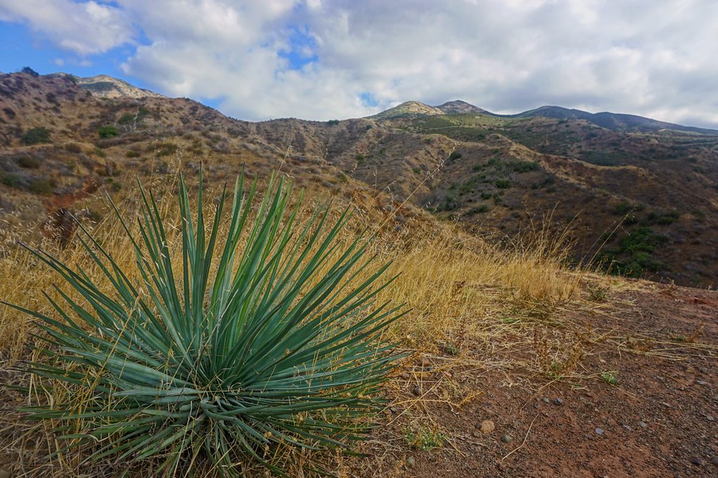
Southland Mtns
Harding Canyon Spinner
Strike Eagle's Beak
Chino Hills 5630
DSC_1076.jpg
DSC_1066.jpg

DSC_0149.jpg
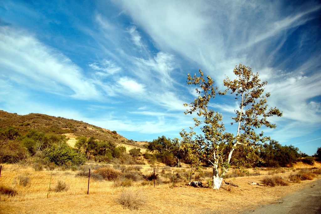
Sycamore Along the Road

Early Moon over Chaparral 2-14-2011

Mariposa Preserve #2
Fremont Canyon
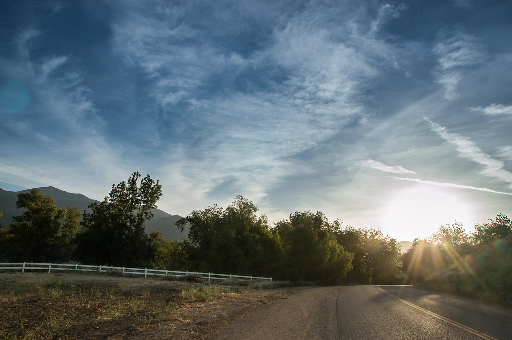
The Road
Just a lil' walk in the park...
Black Star Canyon

The Glow of the Pacific
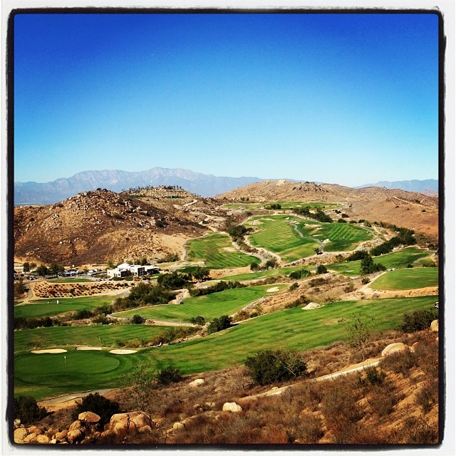
Always enjoy playing here.
Santiago Canyon
Flores Butte 12/31/2010 #3
Black Star Canyon
Toll road landscape
Mariposa Preserve (color)

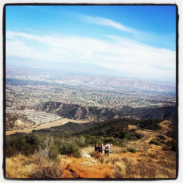
10 mile hike to start 2014. .WOOT!
Flores Butte 12/31/2010 #2
Topographic Map of C L Fleming Cir, Corona, CA, USA
Find elevation by address:

Places near C L Fleming Cir, Corona, CA, USA:
674 Gambel Dr
2550 S Main St
2550 S Main St
2964 Bishop Way
132 Pringle Cir
3211 S Main St
304 W Mission Rd
Winston Way, Corona, CA, USA
Quiet Meadow Circle
803 Magnolia Ave
3540 Birchleaf Dr
1901 Nutwood Cir
3770 Wallowa Cir
3348 Redport Dr
411 Orange Heights Ln
Royal Summit Circle
1379 Roadrunner Dr
800 S. Main St & Ninth St @ Crmc
Dalia's Pizza
4063 Suzie Cir
Recent Searches:
- Elevation of Elwyn Dr, Roanoke Rapids, NC, USA
- Elevation of Congressional Dr, Stevensville, MD, USA
- Elevation of Bellview Rd, McLean, VA, USA
- Elevation of Stage Island Rd, Chatham, MA, USA
- Elevation of Shibuya Scramble Crossing, 21 Udagawacho, Shibuya City, Tokyo -, Japan
- Elevation of Jadagoniai, Kaunas District Municipality, Lithuania
- Elevation of Pagonija rock, Kranto 7-oji g. 8"N, Kaunas, Lithuania
- Elevation of Co Rd 87, Jamestown, CO, USA
- Elevation of Tenjo, Cundinamarca, Colombia
- Elevation of Côte-des-Neiges, Montreal, QC H4A 3J6, Canada