Elevation of Pridham Rd, Alberton, PE C0B 1B0, Canada
Location: Canada > Prince Edward Island > Prince County > Alberton >
Longitude: -64.036033
Latitude: 46.870517
Elevation: 23m / 75feet
Barometric Pressure: 101KPa
Elevation Map:
Satellite Map:
Related Photos:
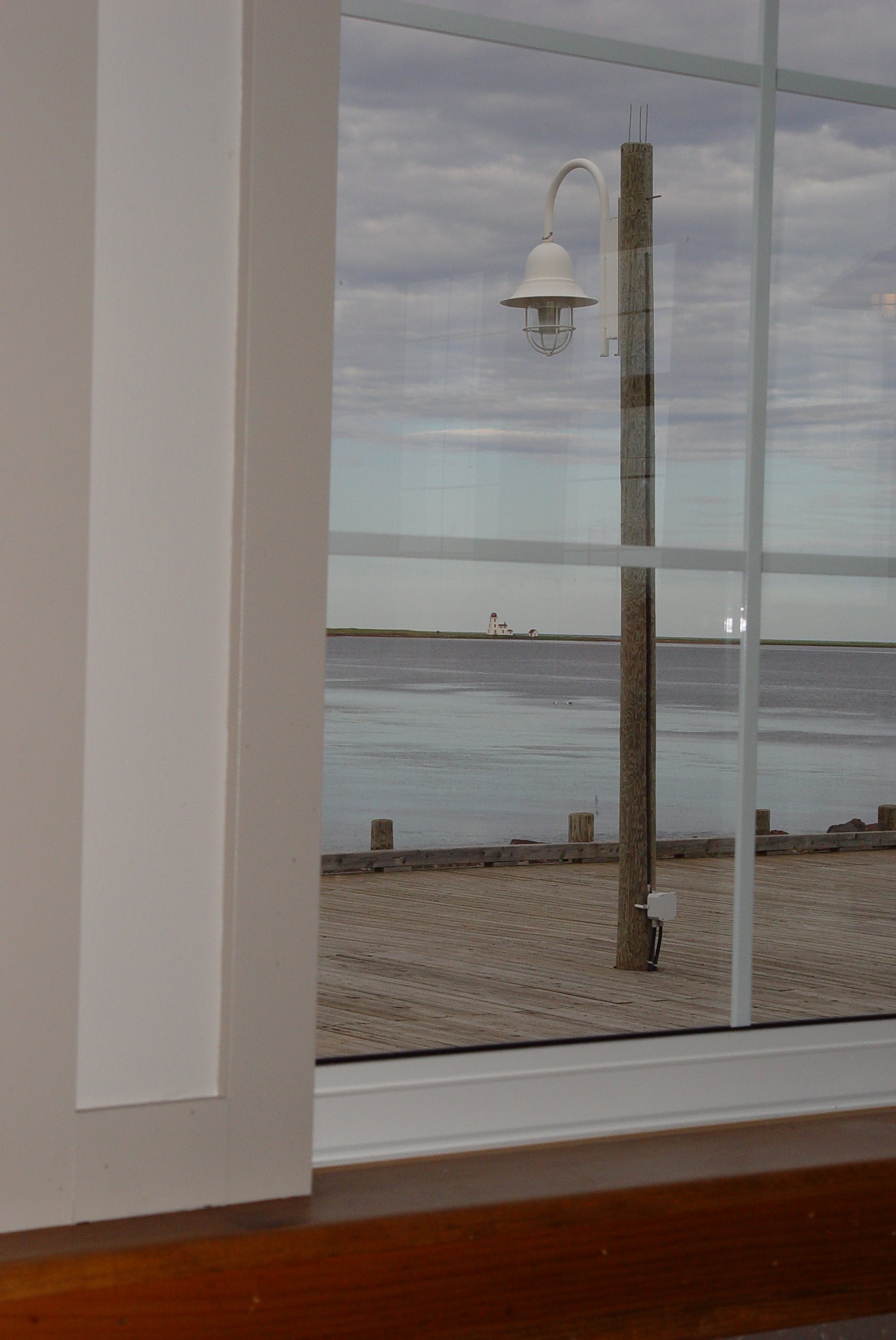
48 Restaurant View
Skinner's Pond Harbor View
51 Northport View

Bridge Sunset BW 2 January 26.11
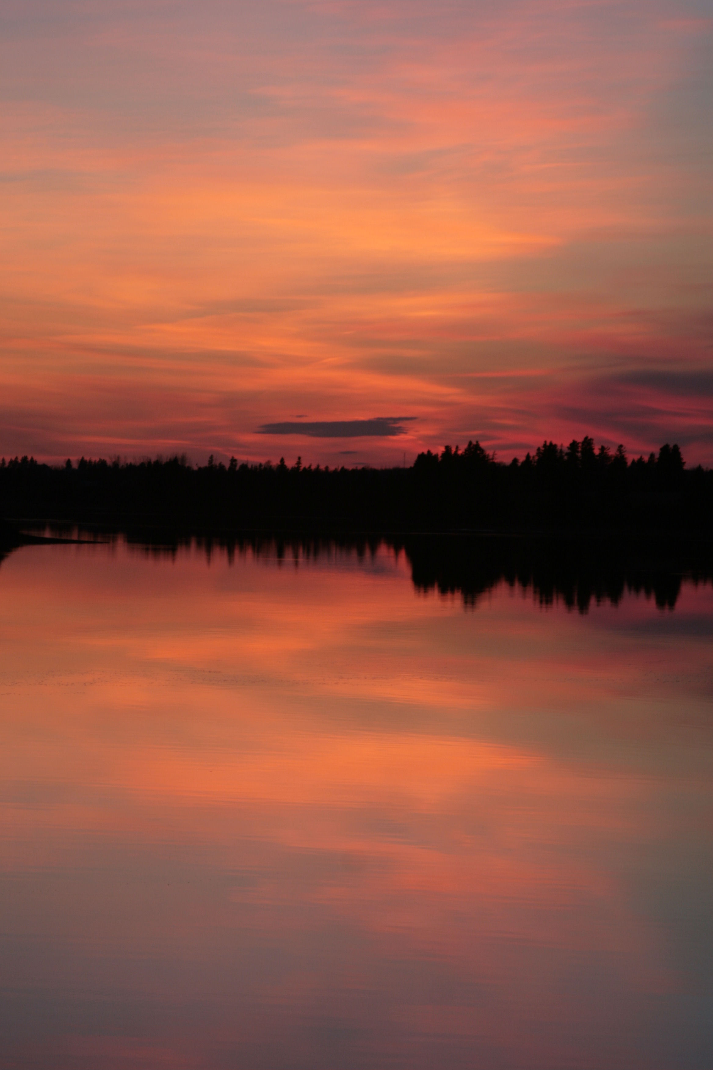
Bridge Sunset A January 26.11
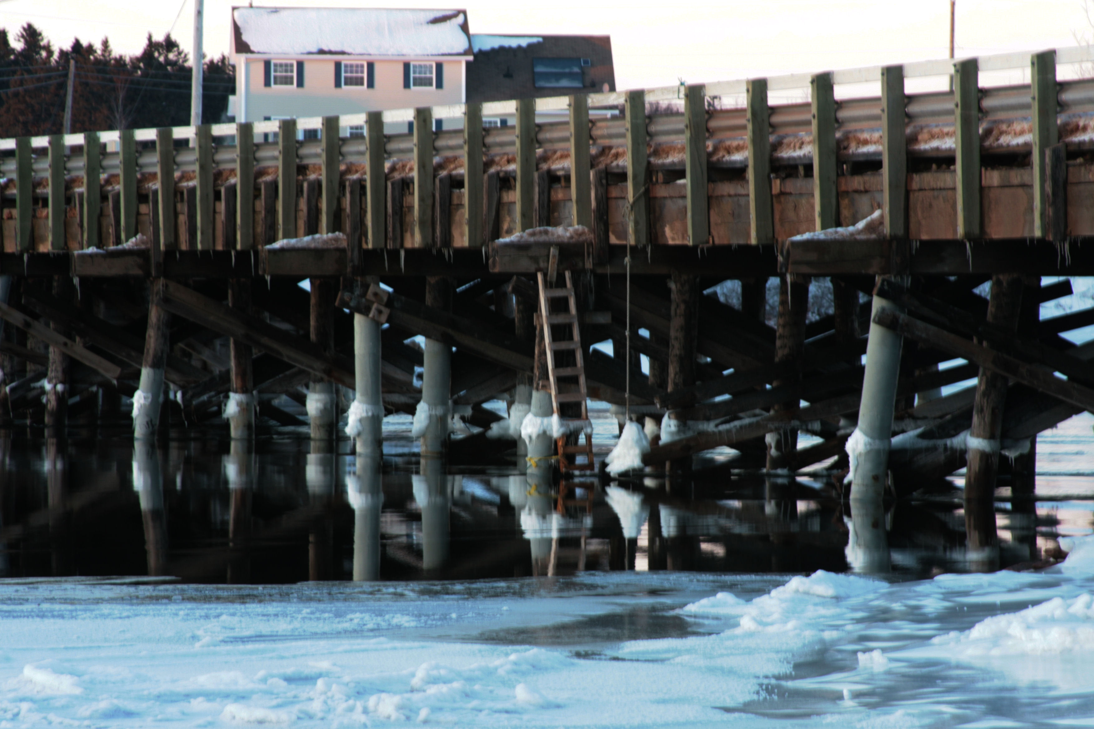
Bridge Sunset B January 26.11
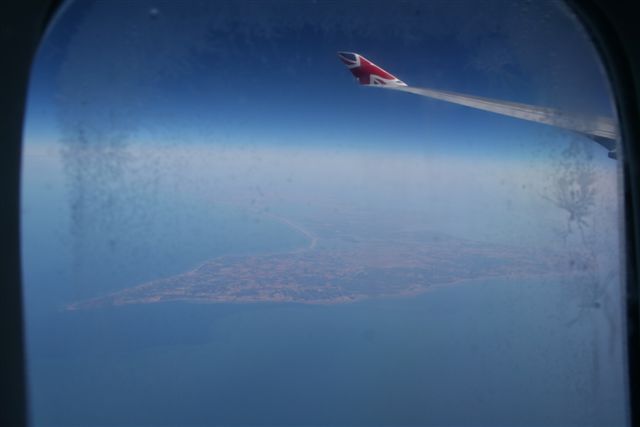
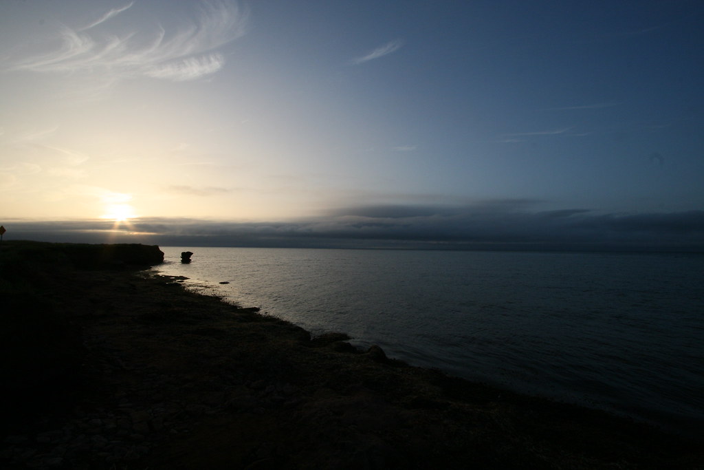
Prince Edward Island, Canada
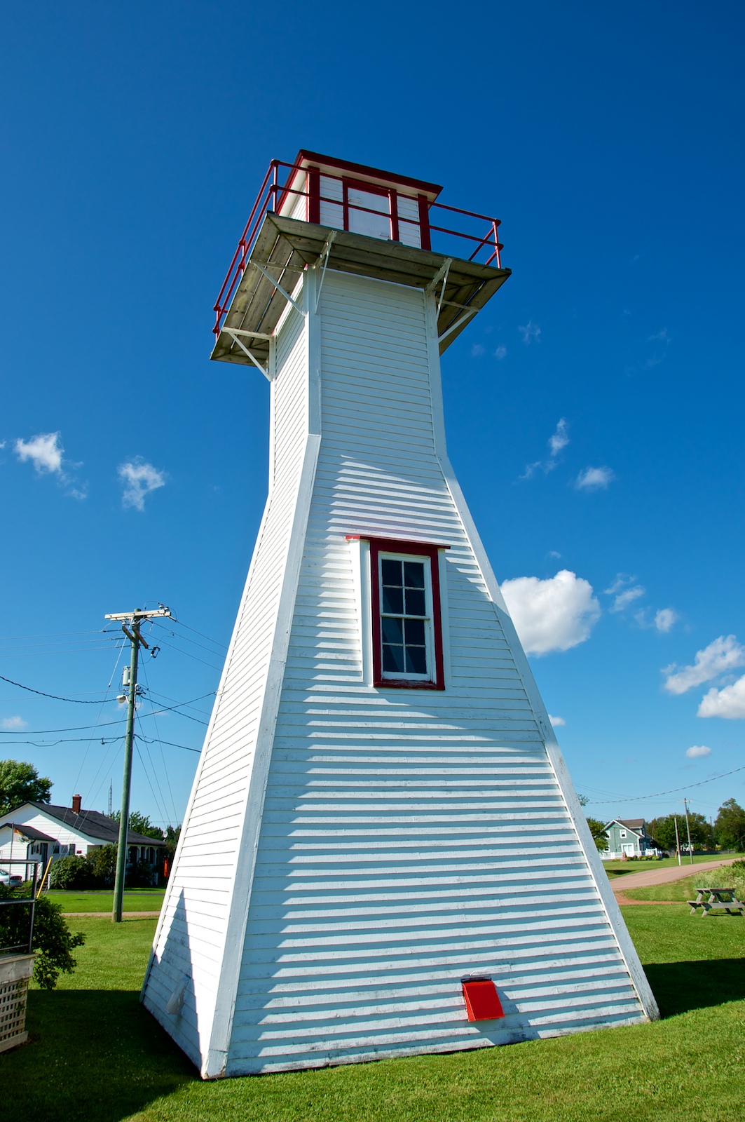
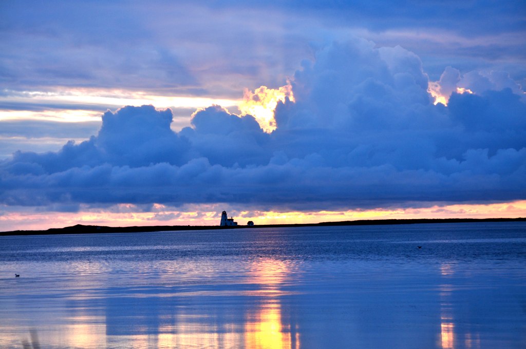
Northport Range Light, PEI (front view)

Northport Range Light, PEI (harbour view)
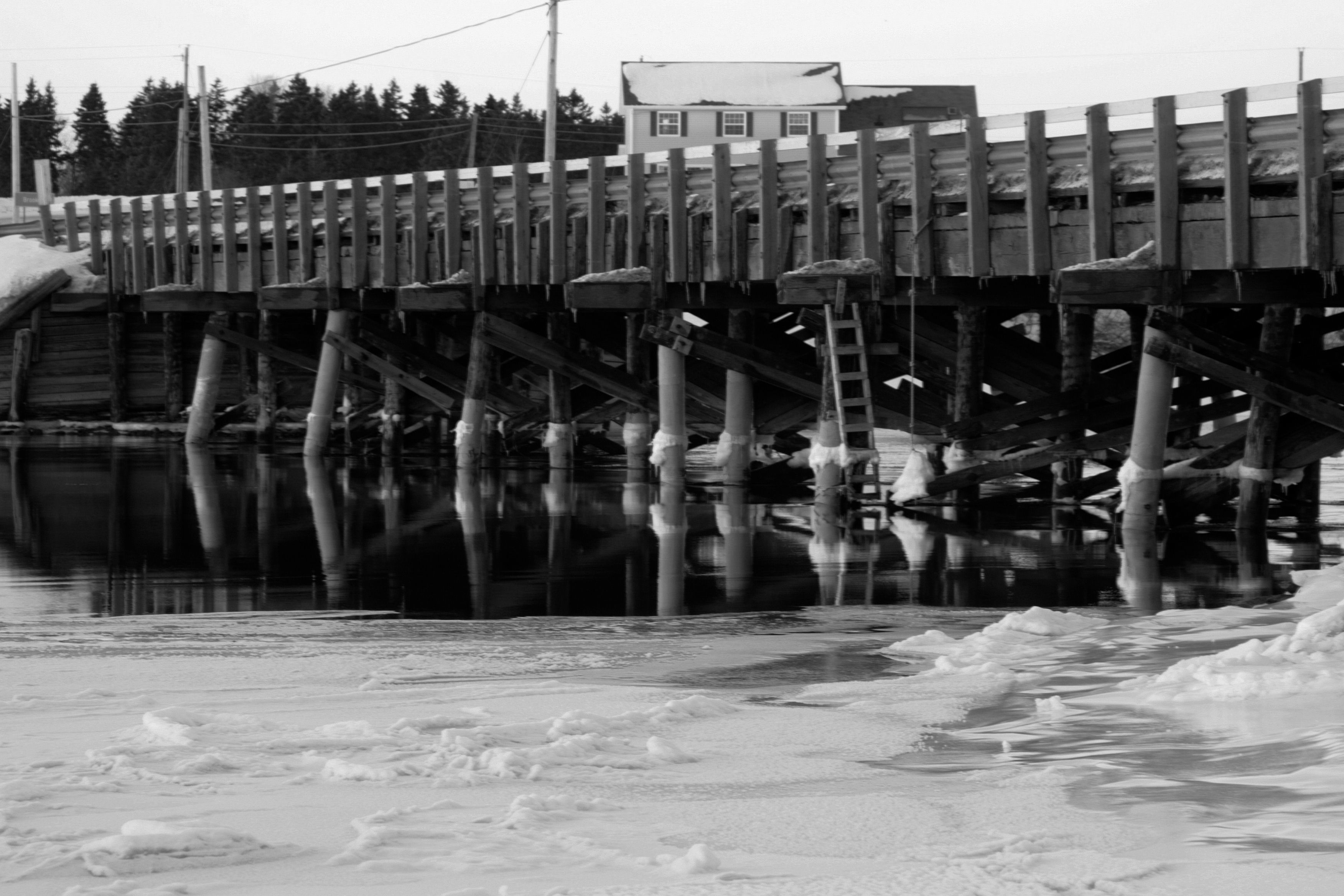
Bridge Sunset BW 1 January 26.11
Seacow Pond, PEI
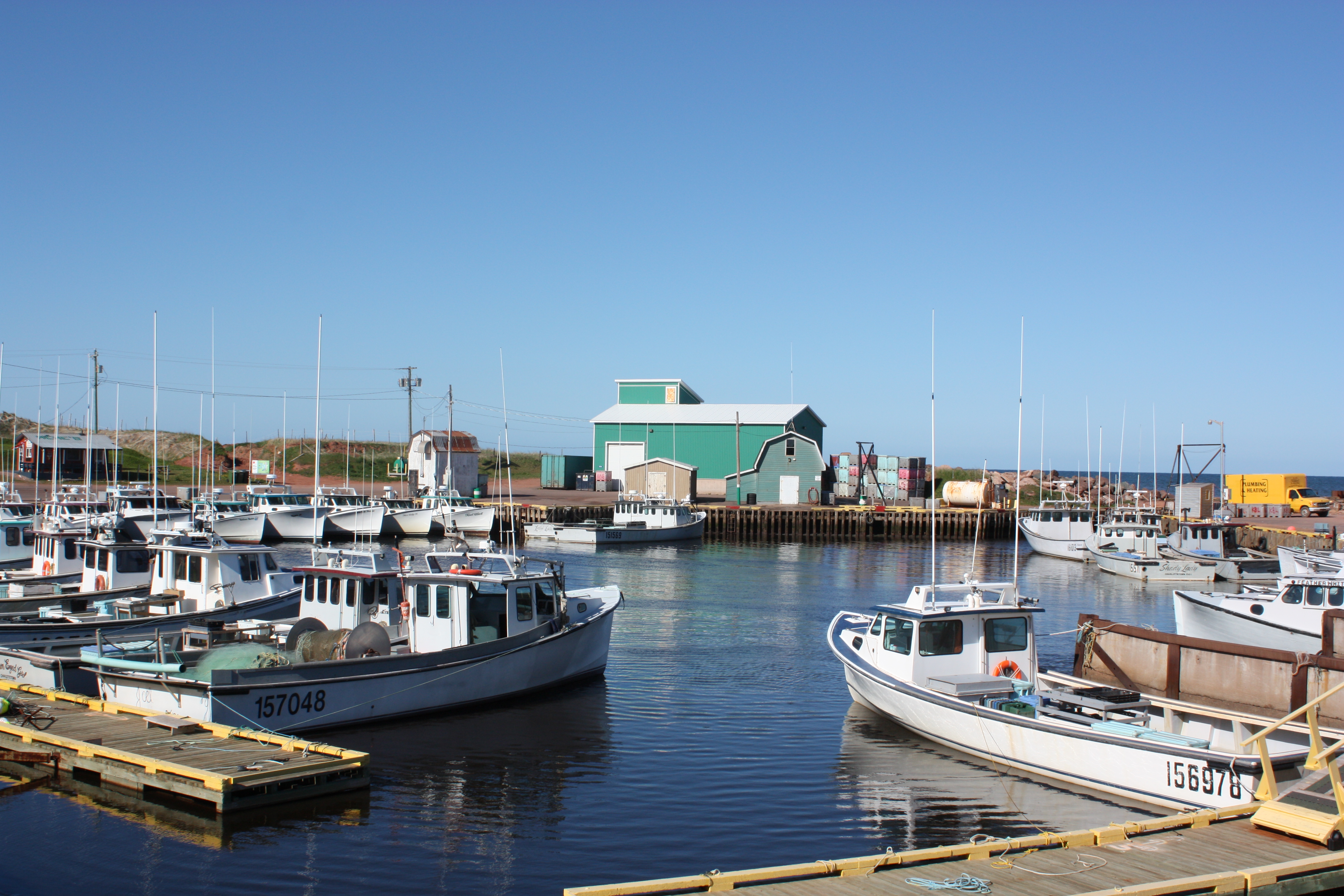
Alberton, PEI

CANADA MONTREAL QUEBEC OLD TOWN QUEBEC CITY QUEBEC 8164 3 AJ20

Miminegash Harbour
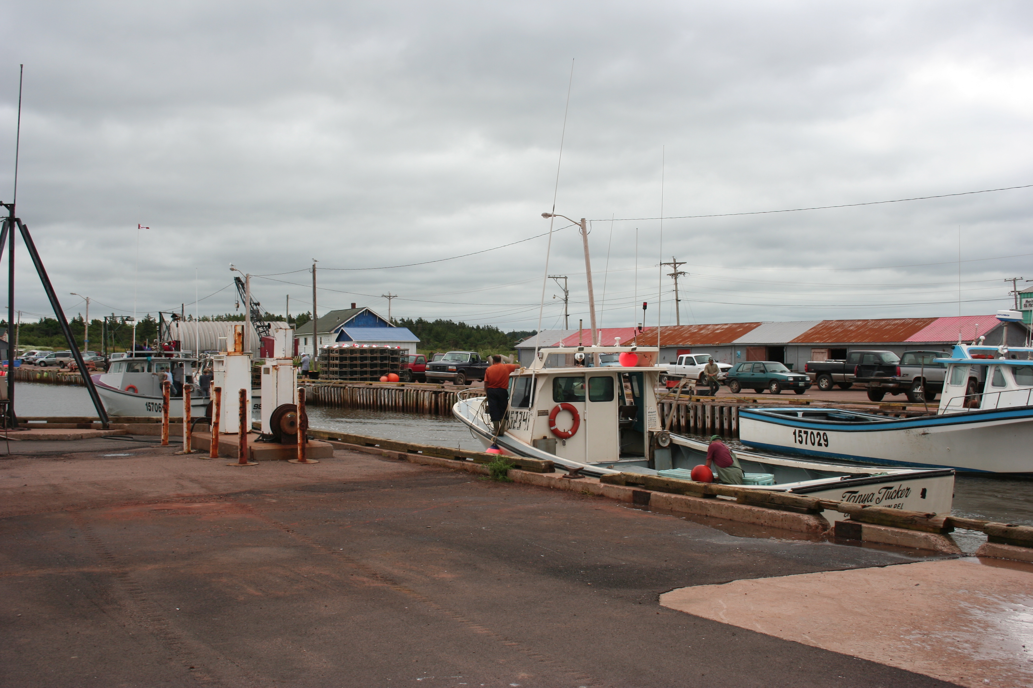
Returning to the Harbour

23 Miminegash Shore
Northport PEI - 33

Herons at #Sunset, Miminegash-Roseville watershed #Tignish area, #PEI

Tignish Shore Beach, Prince Edward Island (471219)

Untouched Nov 13.10

Tignish Shore Beach, Prince Edward Island (471218)
North Cape

Western PEI Shoreline
Untouched Vertical nov 13.10

Tignish Shore Beach, Prince Edward Island (471232)

Tignish Shore Beach, Prince Edward Island (471222)

Tignish Shore Beach, Prince Edward Island (471237)
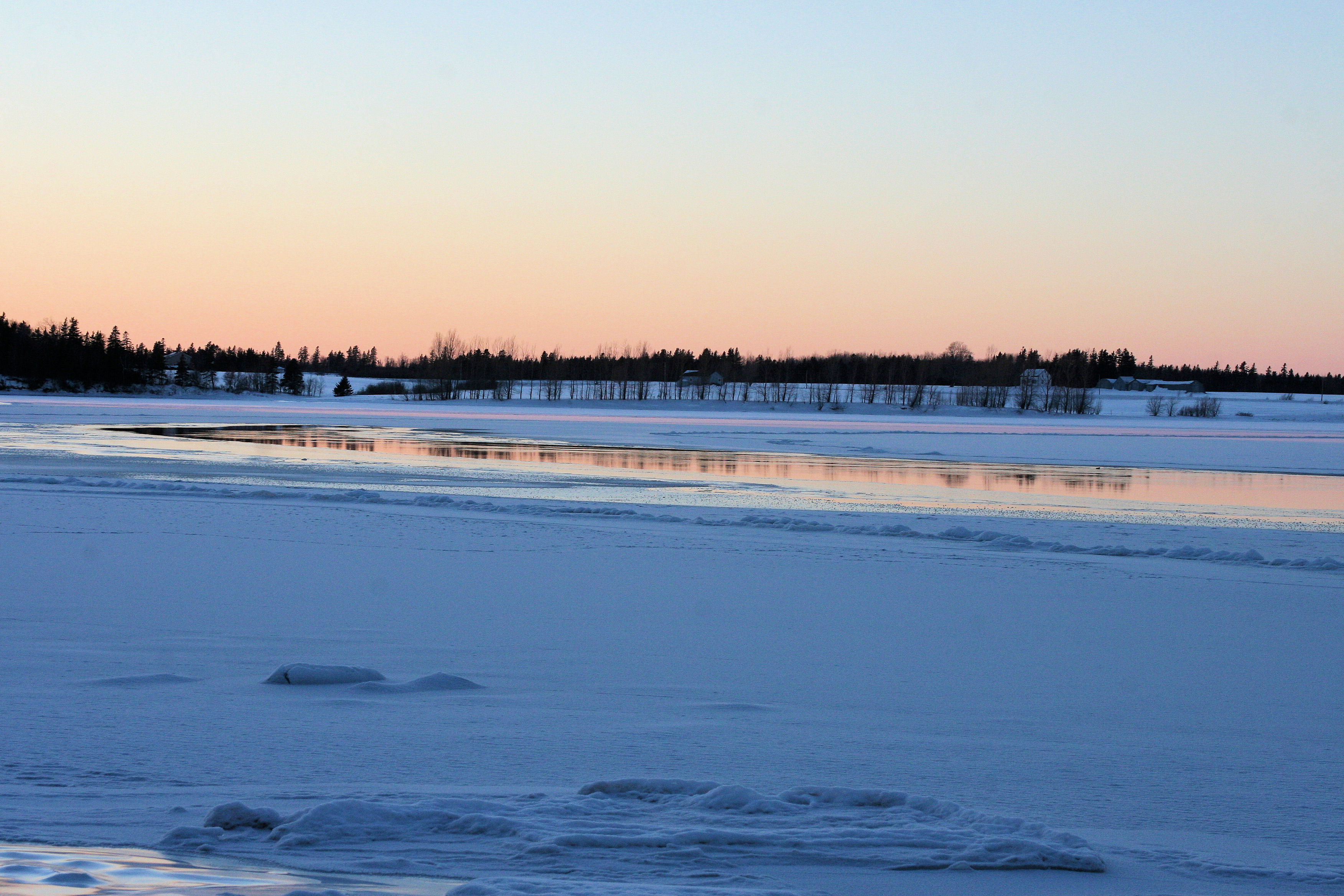
Sunset on frozen bay C January 26.11

22 Miminegash Shore
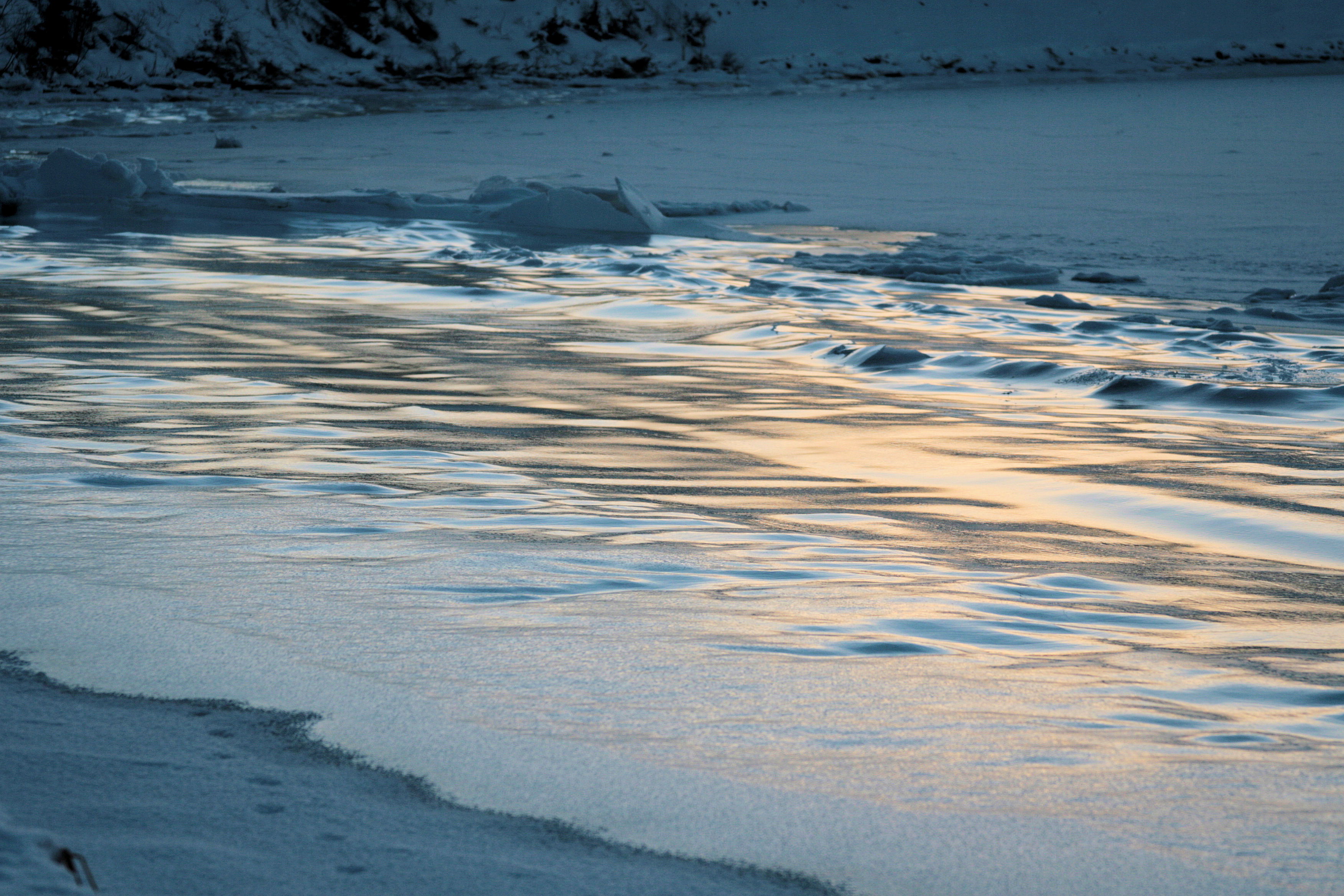
Frozen Waves D January 26.11

Lobster Traps on the Western Shore
Topographic Map of Pridham Rd, Alberton, PE C0B 1B0, Canada
Find elevation by address:

Places near Pridham Rd, Alberton, PE C0B 1B0, Canada:
Greenmount Rd, Tignish, PE C0B 2B0, Canada
PE-12, Tignish, PE C0B 2B0, Canada
Clark Rd, Tignish, PE C0B 2B0, Canada
Marchbank Rd, Elmsdale, PE C0B 1K0, Canada
Kildare Capes
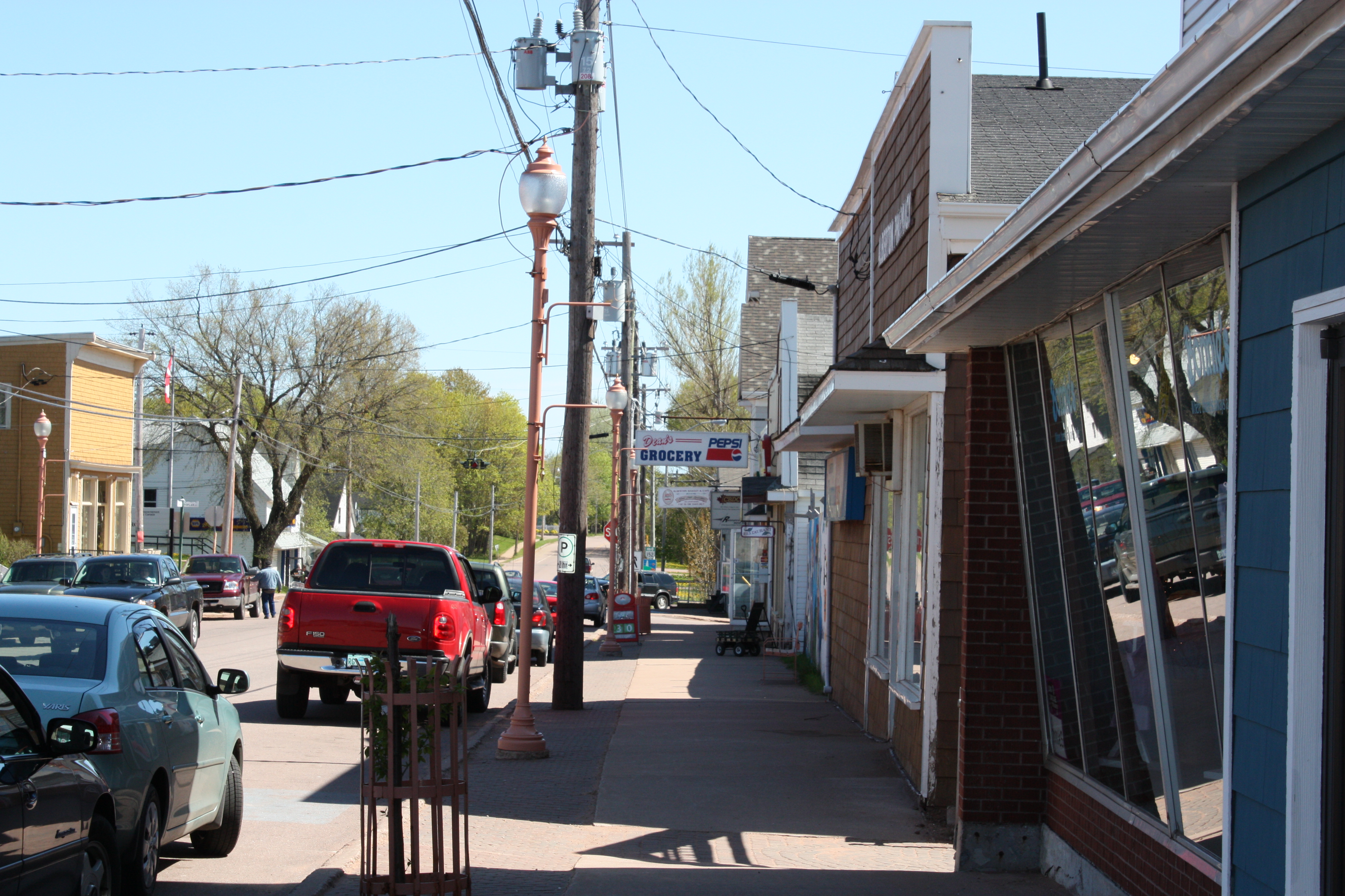
Alberton
64 Carol St, Alberton, PE C0B 1B0, Canada
Tignish
Lot 3
Lot 3
Lot 2
Ascension Rd, Tignish, PE C0B 2B0, Canada
Anglo Tignish
Western Rd, Alberton, PE C0B 1B0, Canada
PE-14, Tignish, PE C0B 2B0, Canada
Lot 1
Lot 4
Prince County
Norway Rd, Tignish, PE C0B 2B0, Canada
Cascumpec Rd, O'Leary, PE C0B 1V0, Canada
Recent Searches:
- Elevation of Corso Fratelli Cairoli, 35, Macerata MC, Italy
- Elevation of Tallevast Rd, Sarasota, FL, USA
- Elevation of 4th St E, Sonoma, CA, USA
- Elevation of Black Hollow Rd, Pennsdale, PA, USA
- Elevation of Oakland Ave, Williamsport, PA, USA
- Elevation of Pedrógão Grande, Portugal
- Elevation of Klee Dr, Martinsburg, WV, USA
- Elevation of Via Roma, Pieranica CR, Italy
- Elevation of Tavkvetili Mountain, Georgia
- Elevation of Hartfords Bluff Cir, Mt Pleasant, SC, USA