Elevation of Preston Rd, Ta Ta Creek, BC V0B 2H0, Canada
Location: Canada > British Columbia > East Kootenay > East Kootenay C > Ta Ta Creek >
Longitude: -115.96300
Latitude: 49.5532459
Elevation: 994m / 3261feet
Barometric Pressure: 90KPa
Elevation Map:
Satellite Map:
Related Photos:
koot10c19 Scenic Highway 3 Signs, Cranbrook BC 2010
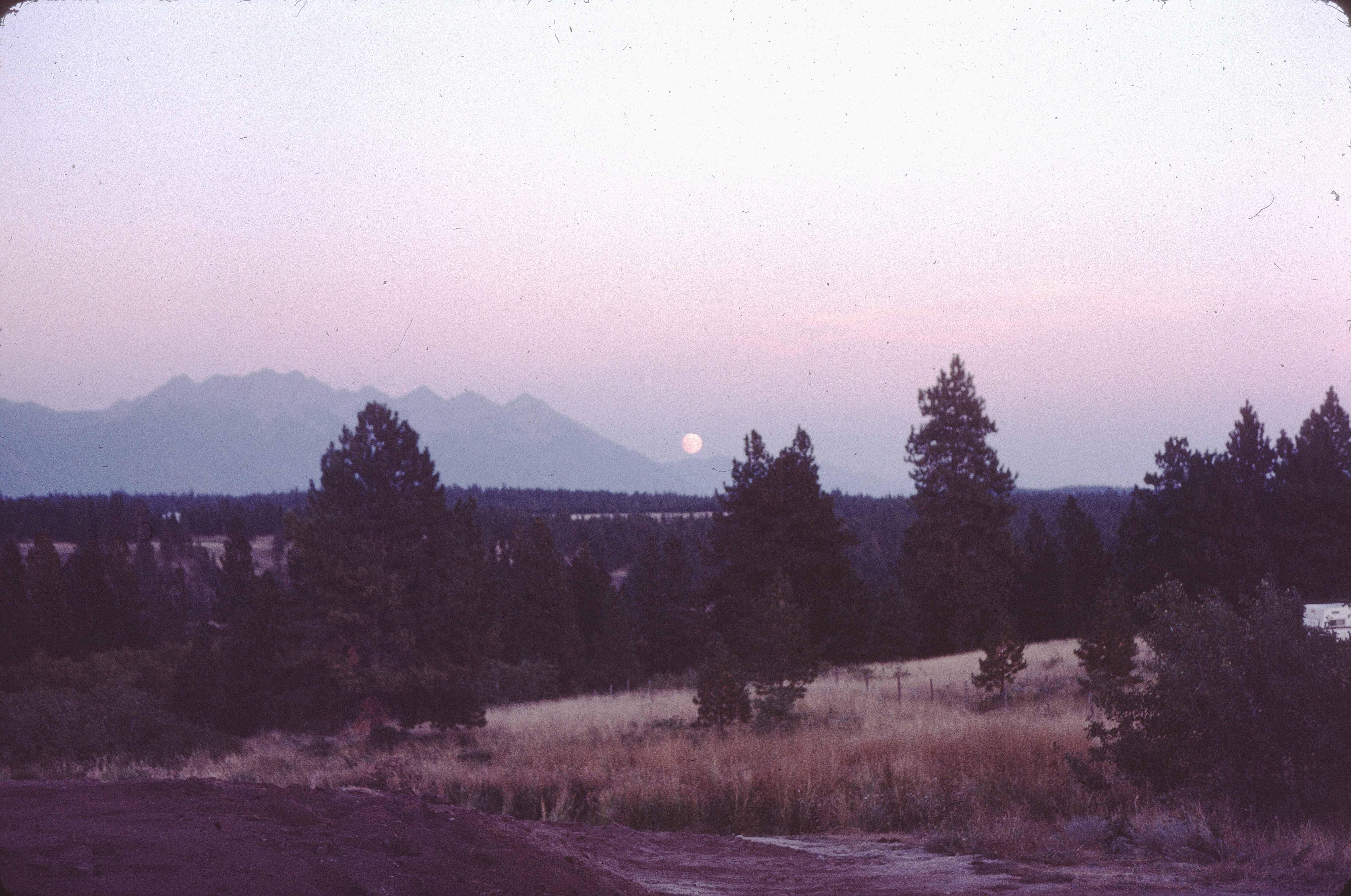
moonrise before landscaping
If this #view is any indication, it's going to be an amazing couple days. #beautifulbc #photographersdream #landscape #2fliesbc #Cranbrook
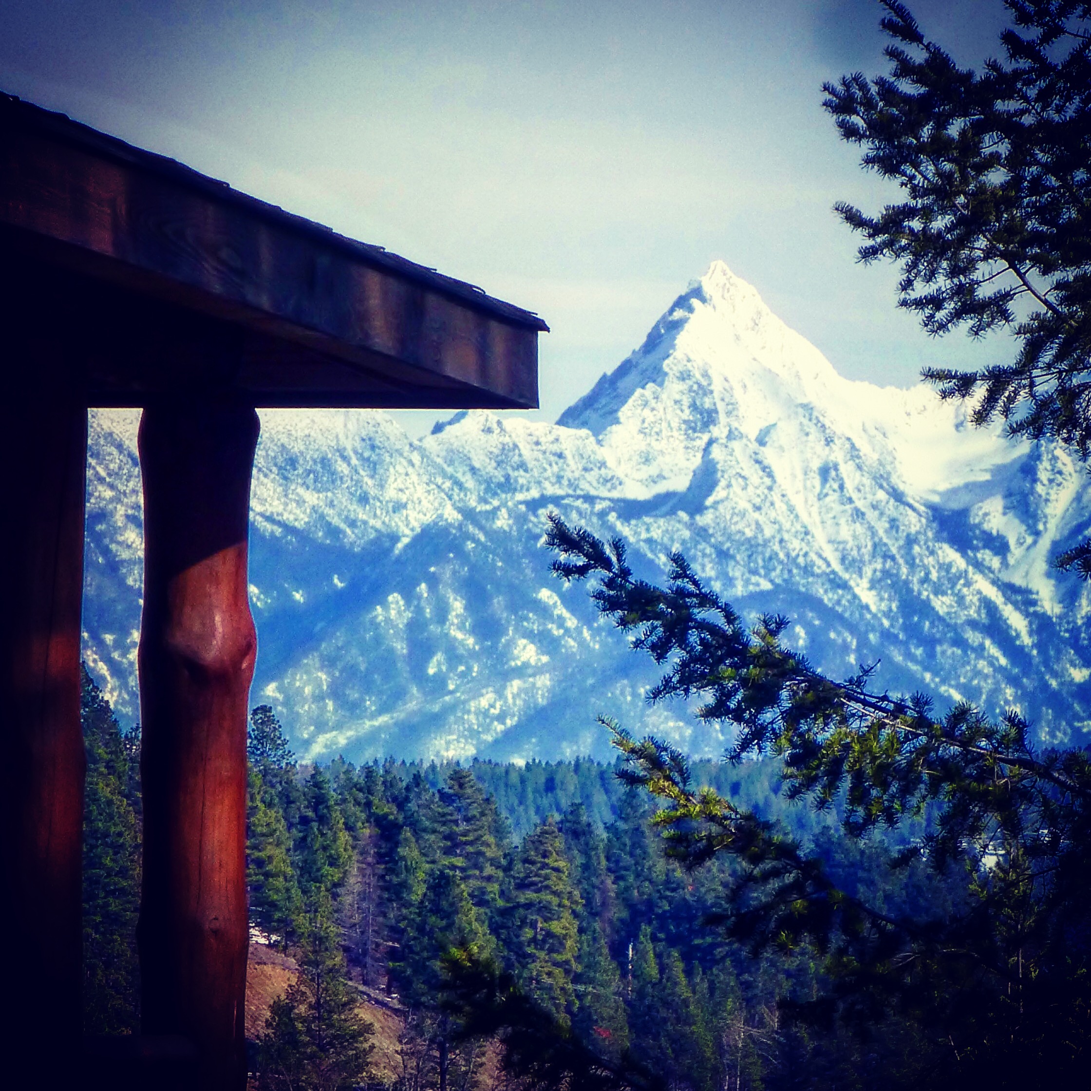
Cabin With a View

Front View

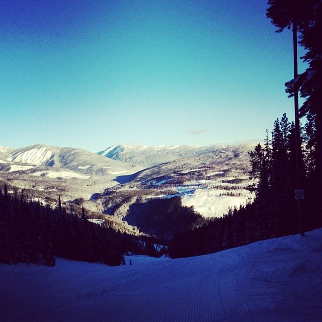
Nice view from Kimberley Ski Hill
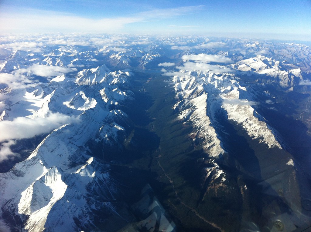
Mountains as Far as The Eye Can See
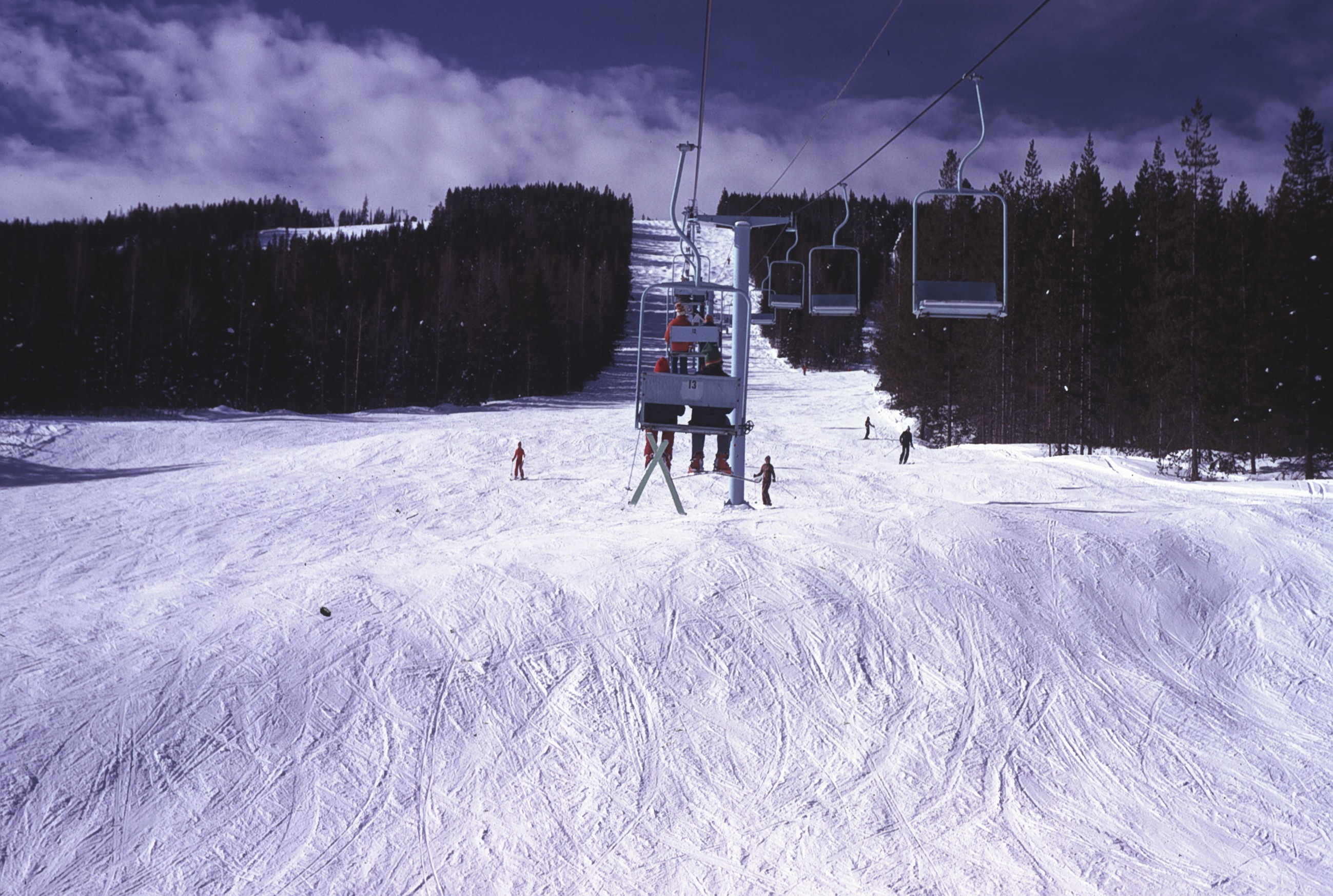
View up Chair lift

Canadian Rockies Int'l Airport
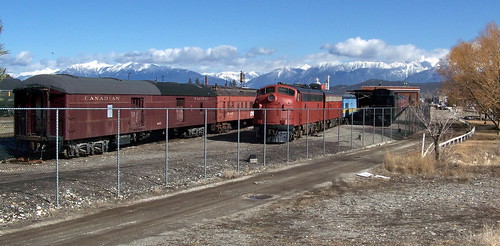
koot10c30 Railway Museum Trains, Cranbrook BC 2010
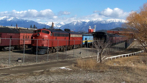
koot10c28 Railway Museum Trains, Cranbrook BC 2010
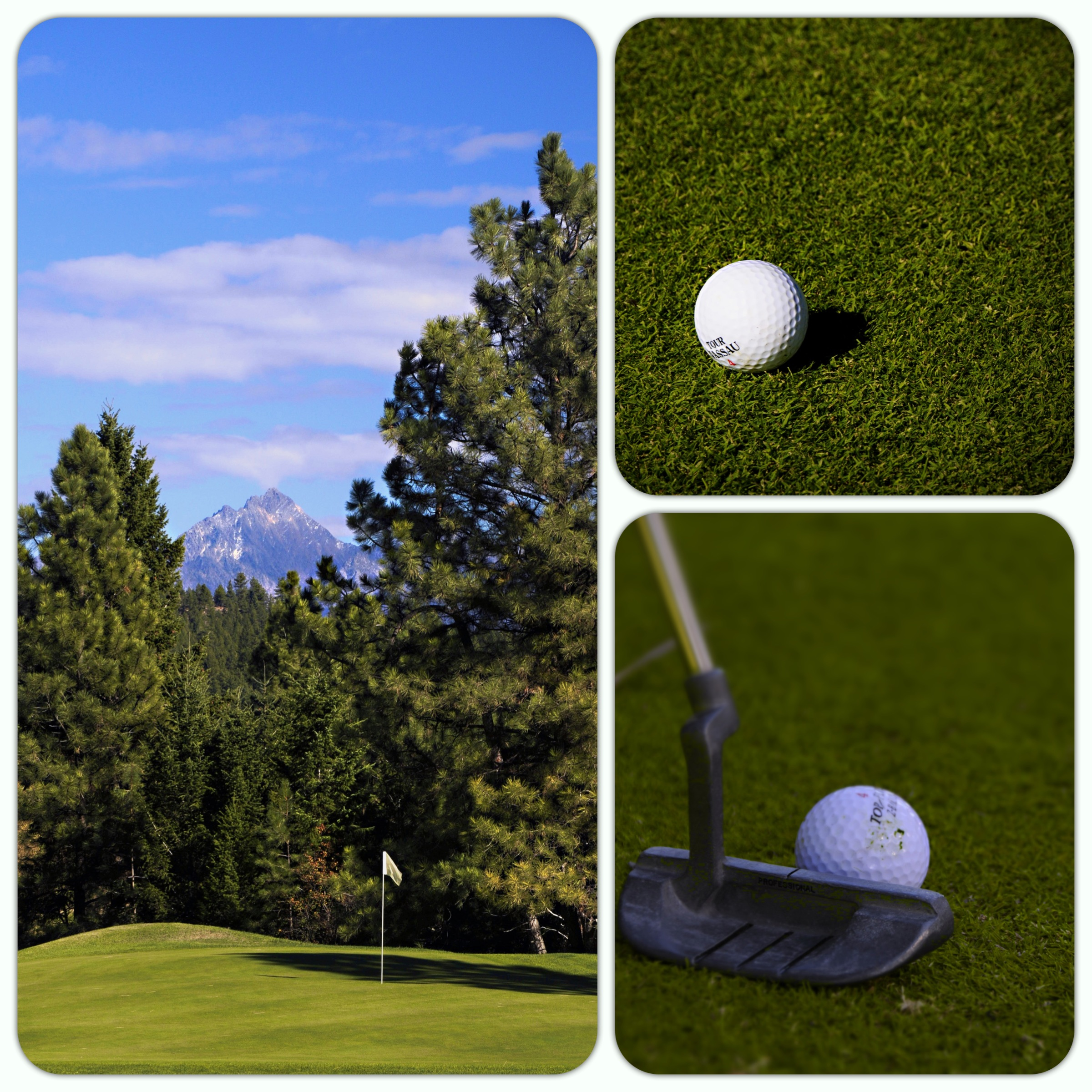
(280/366) A Round of Golf in the Shadow of Mount Fischer
Side View
View 1

Powder Highway road trip
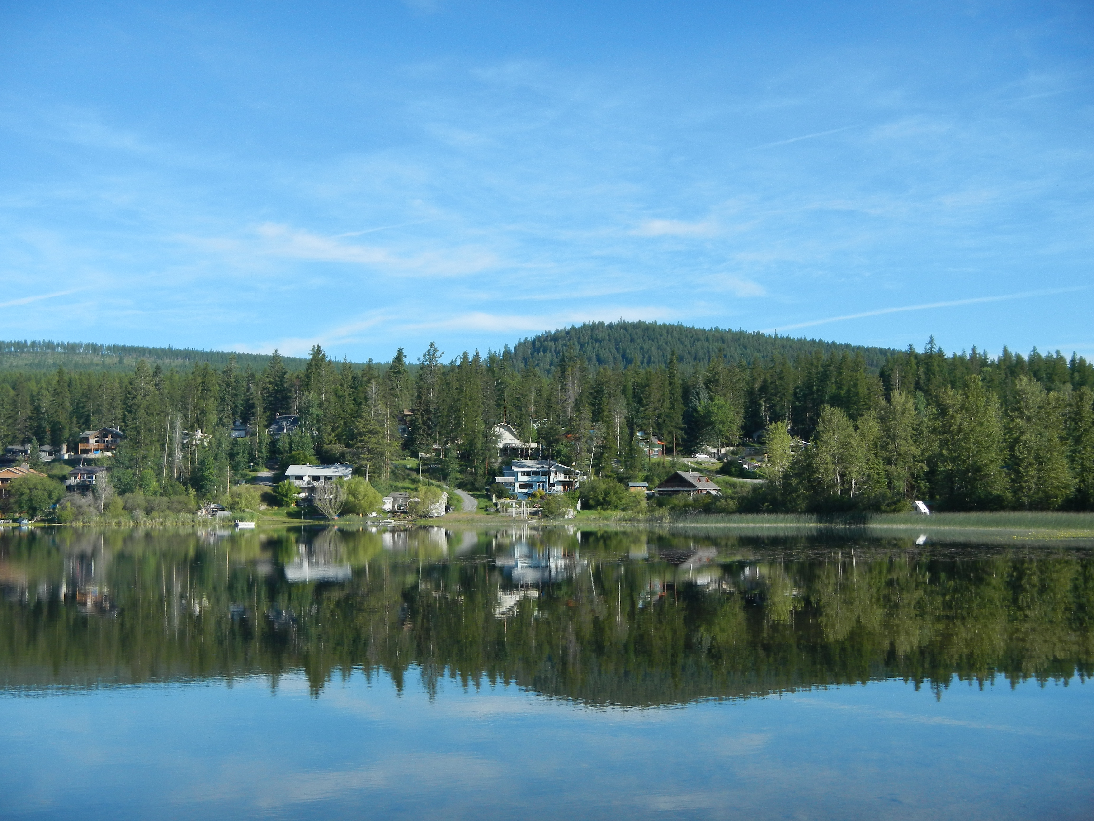
Lake view
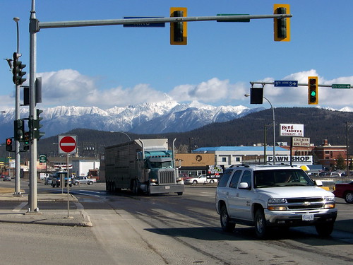
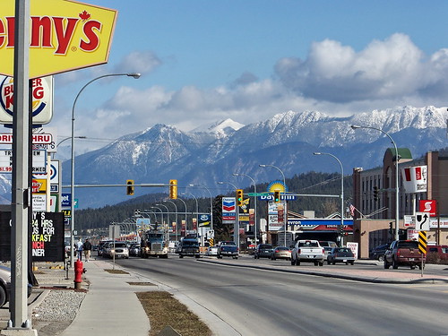
koot10c20 Scenic Highway 3, Cranbrook BC 2010
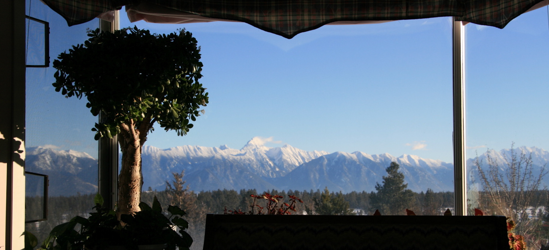
View from Living Room
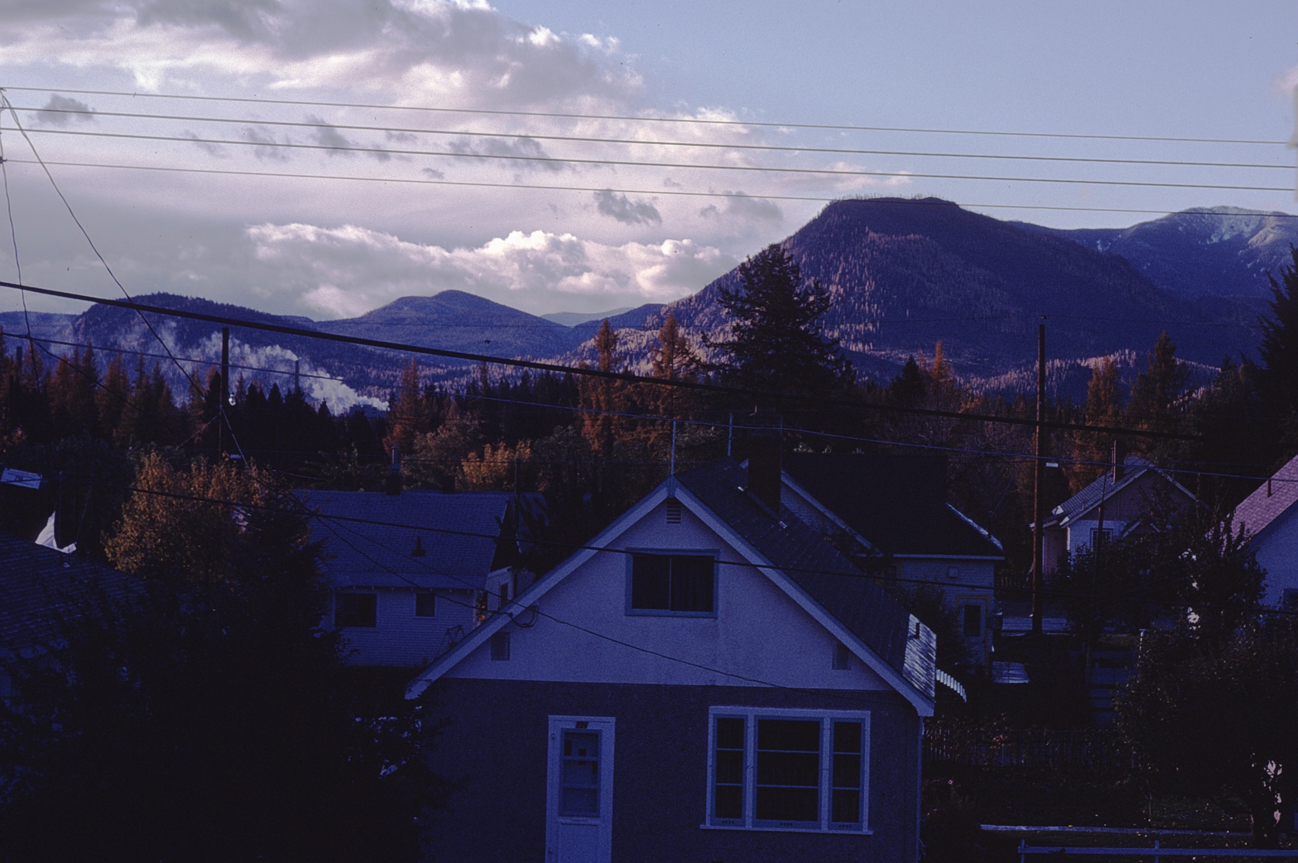
view from house
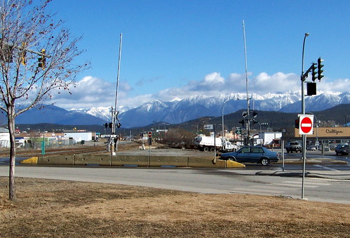
koot10c21 Monashee View, Cranbrook BC 2010
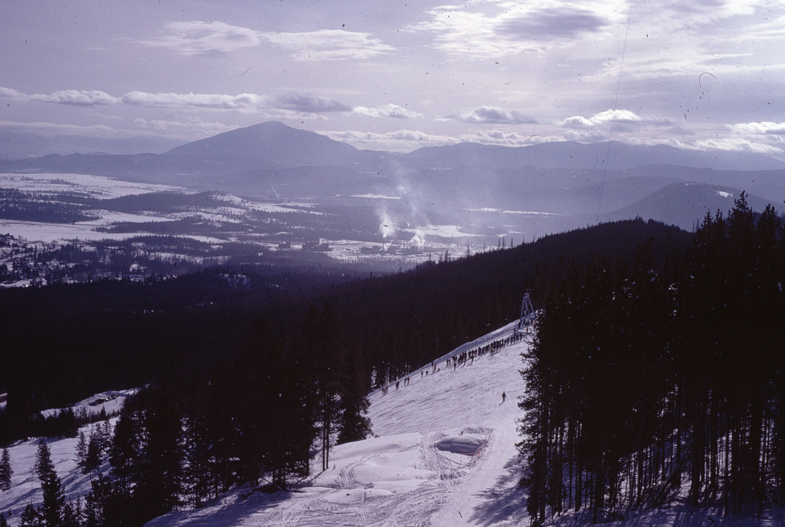
View SE from Chair
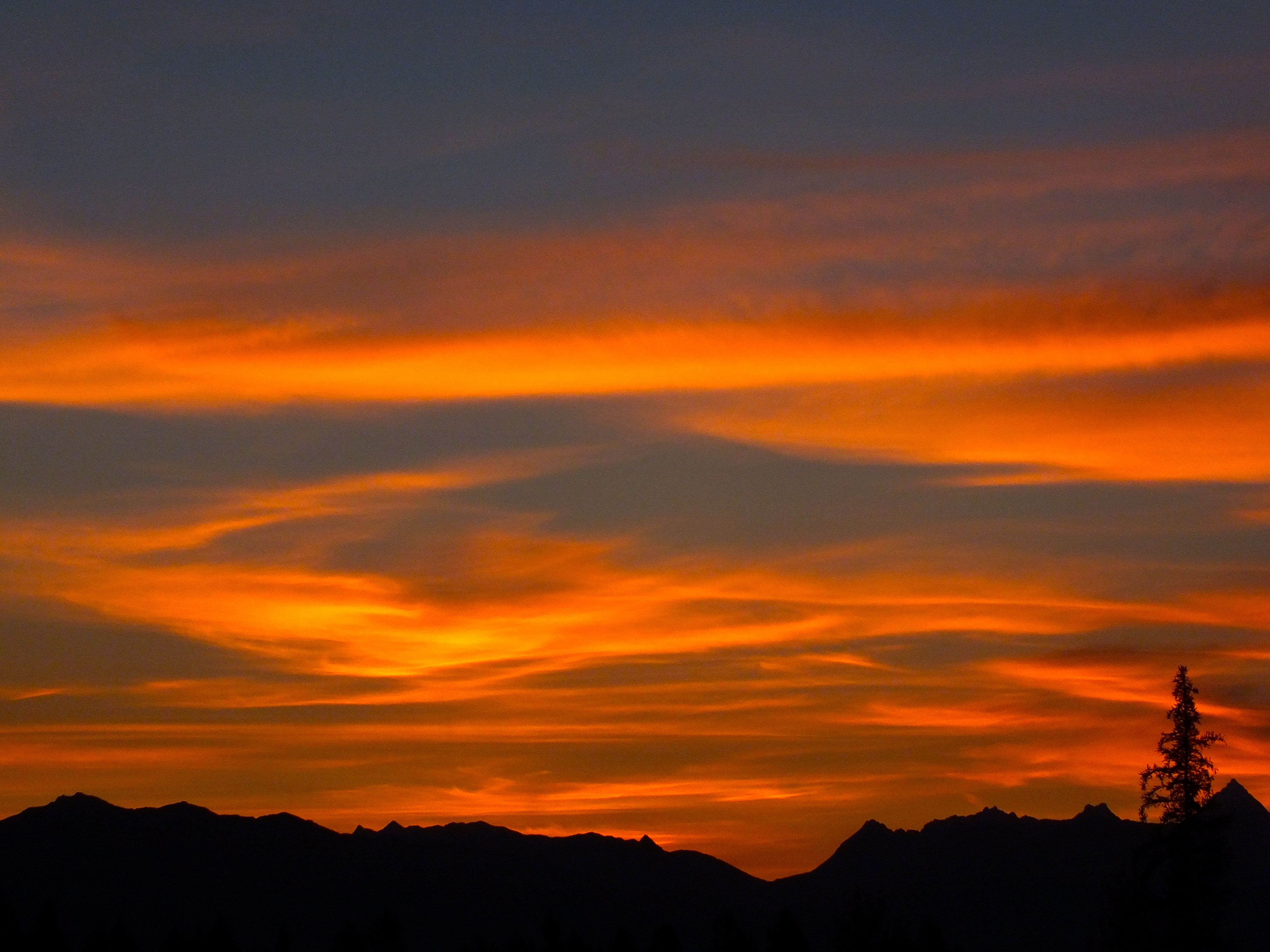
Kimberley BC - Trickle Creek colourful skies 3
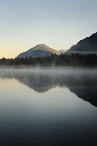
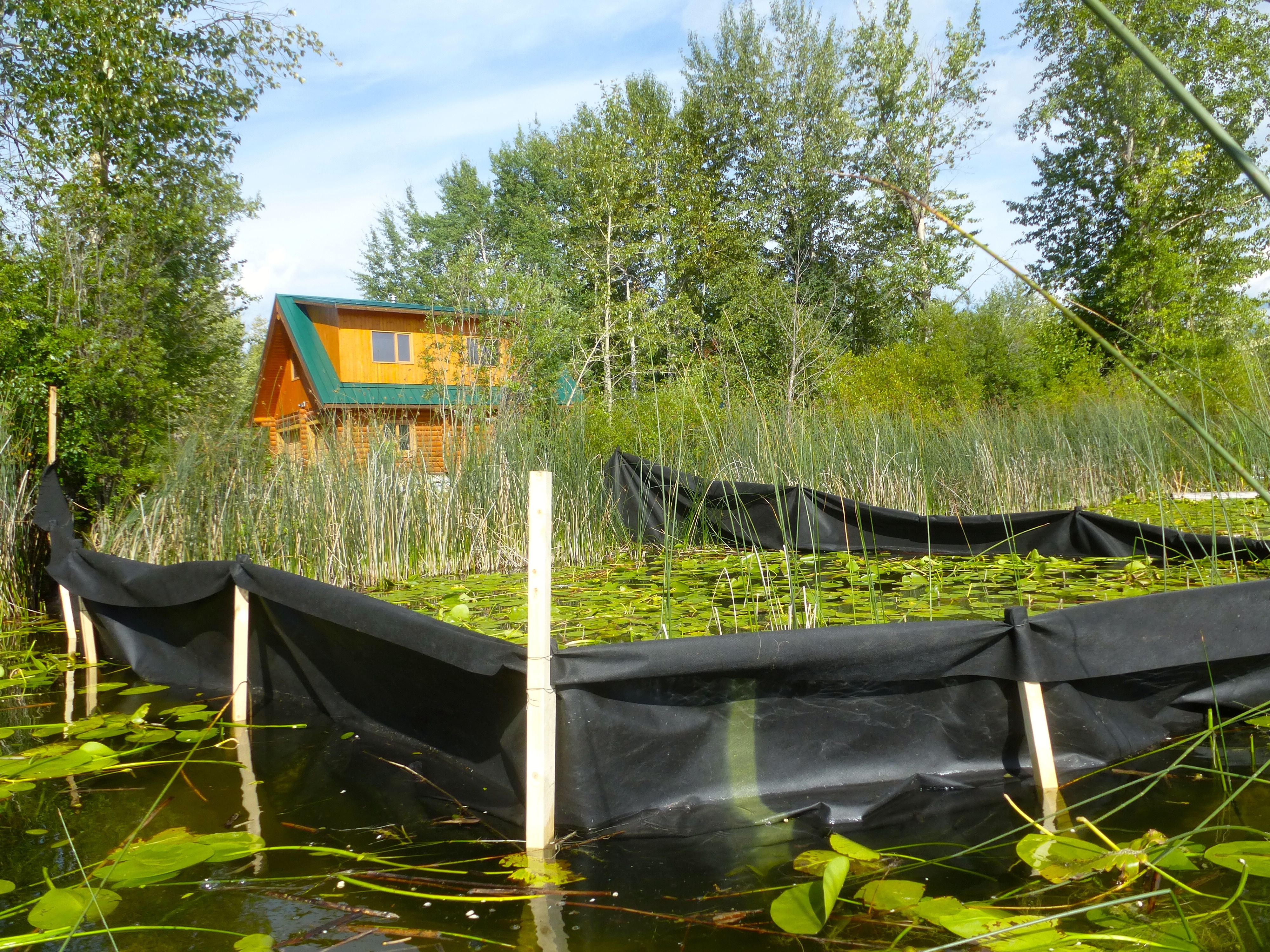
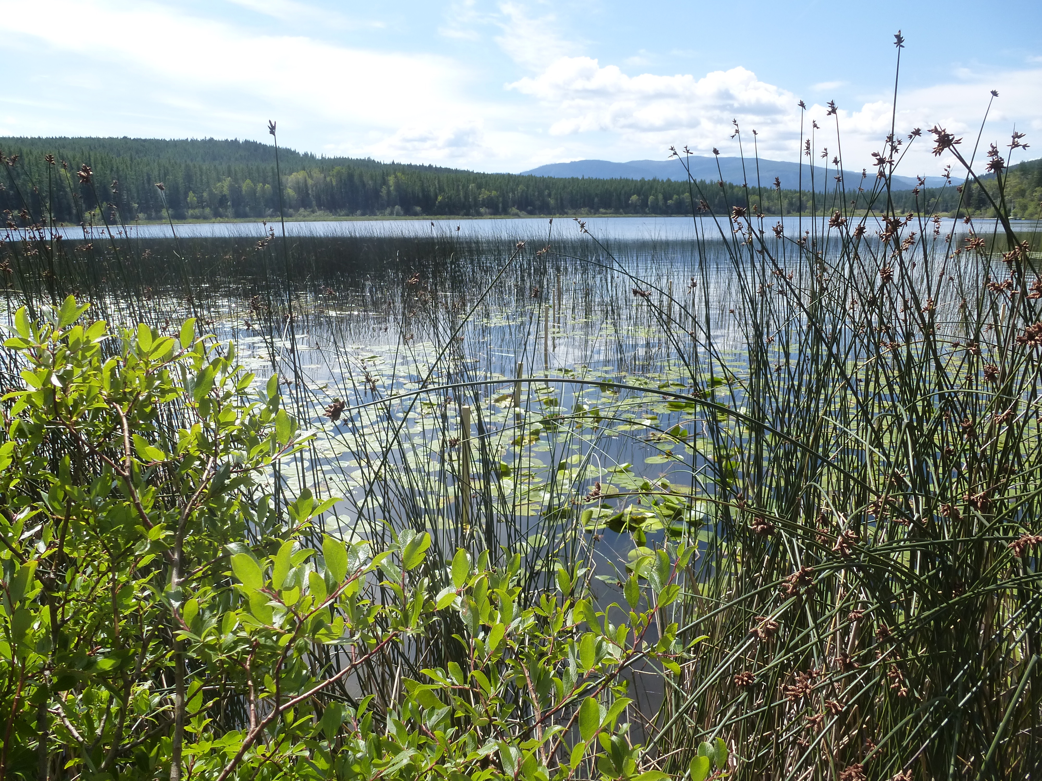
horseshoe lake

If I could melt your heart
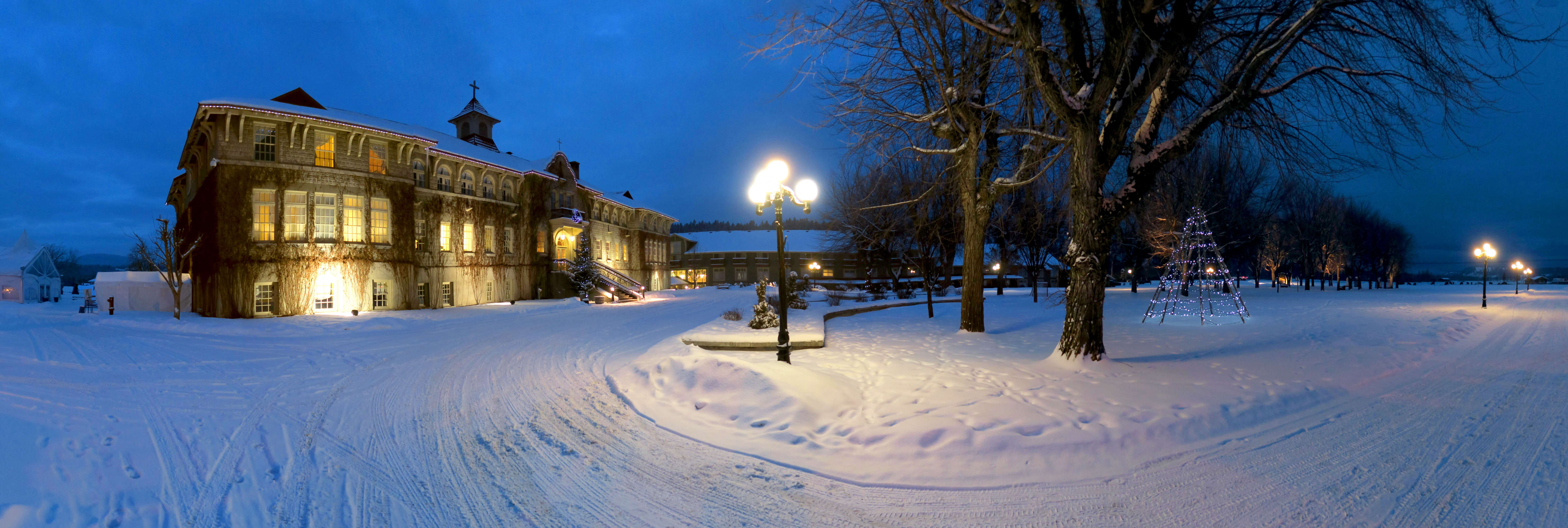
St Eugene Resort, Cranbrook BC (Canada) 2016
Tree.
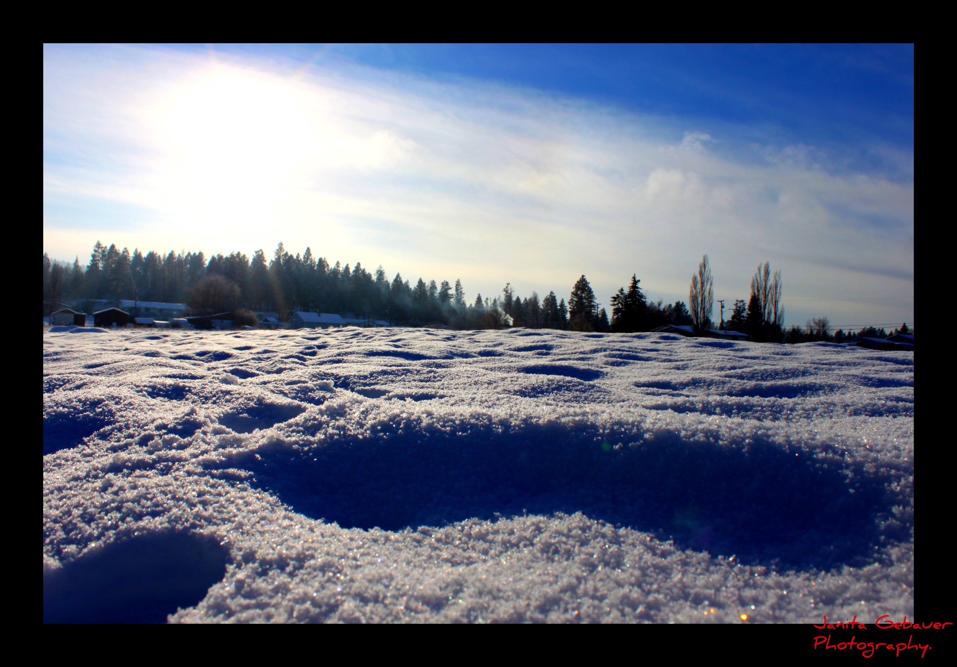
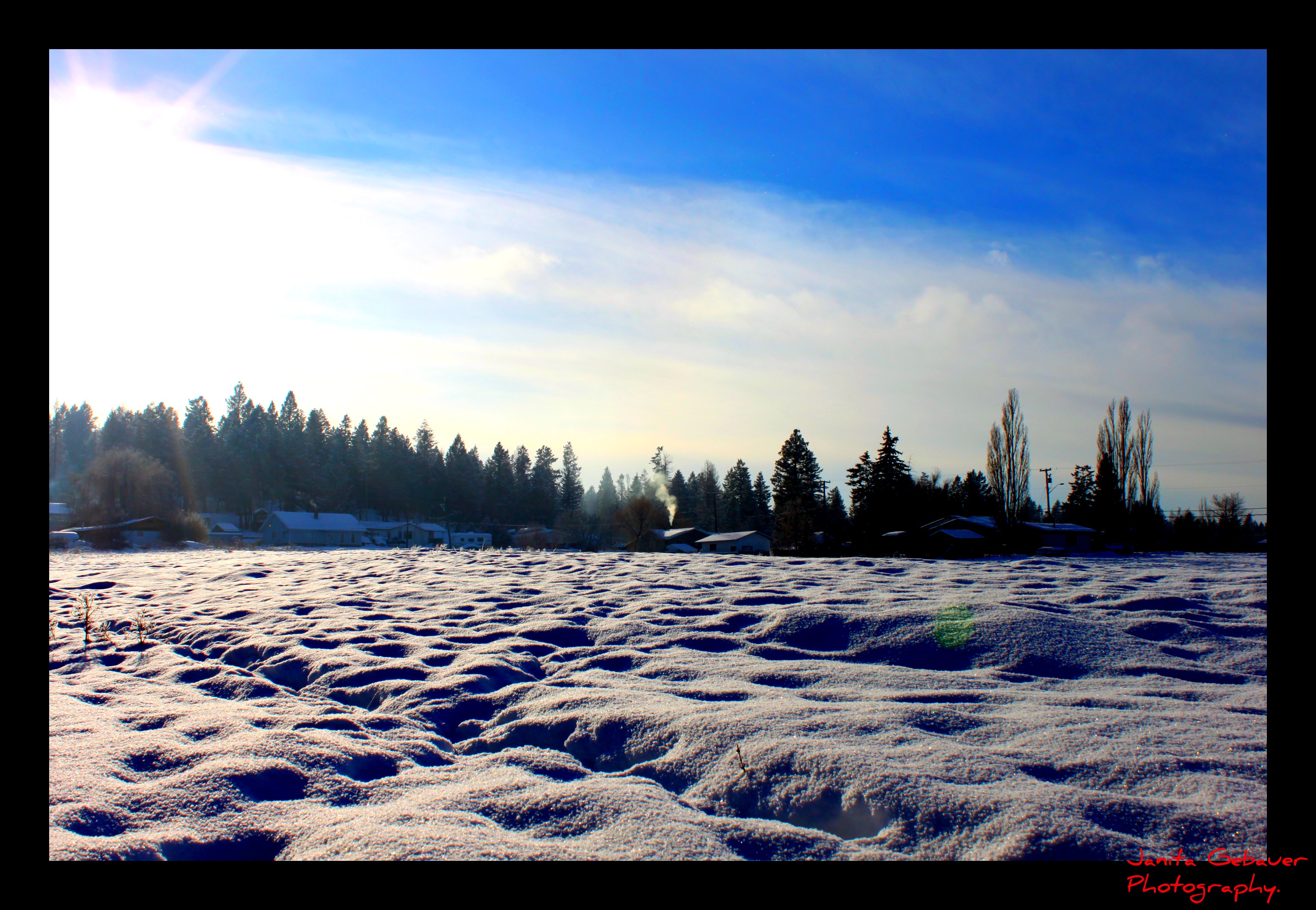
Winter sun.

light safari
♥
Lakit Mountain from Clearview Road
Perfect day for hitting the slopes @atcheung @gen90
Canada First Week
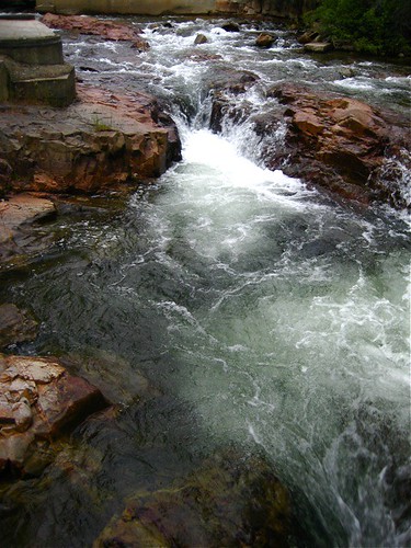
Marysville Falls
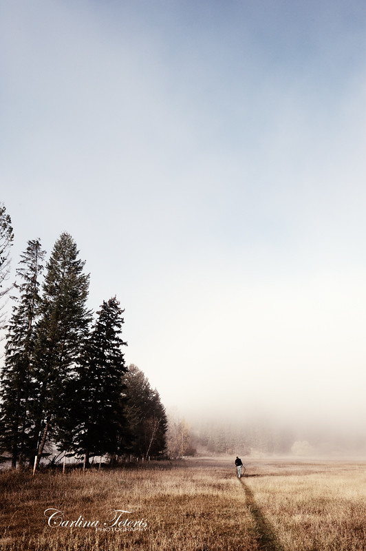
Walk On

Mount Baker Cheers.

CP 8664 South, crossing St Mary's River. Kimberley Sub (April 1972)
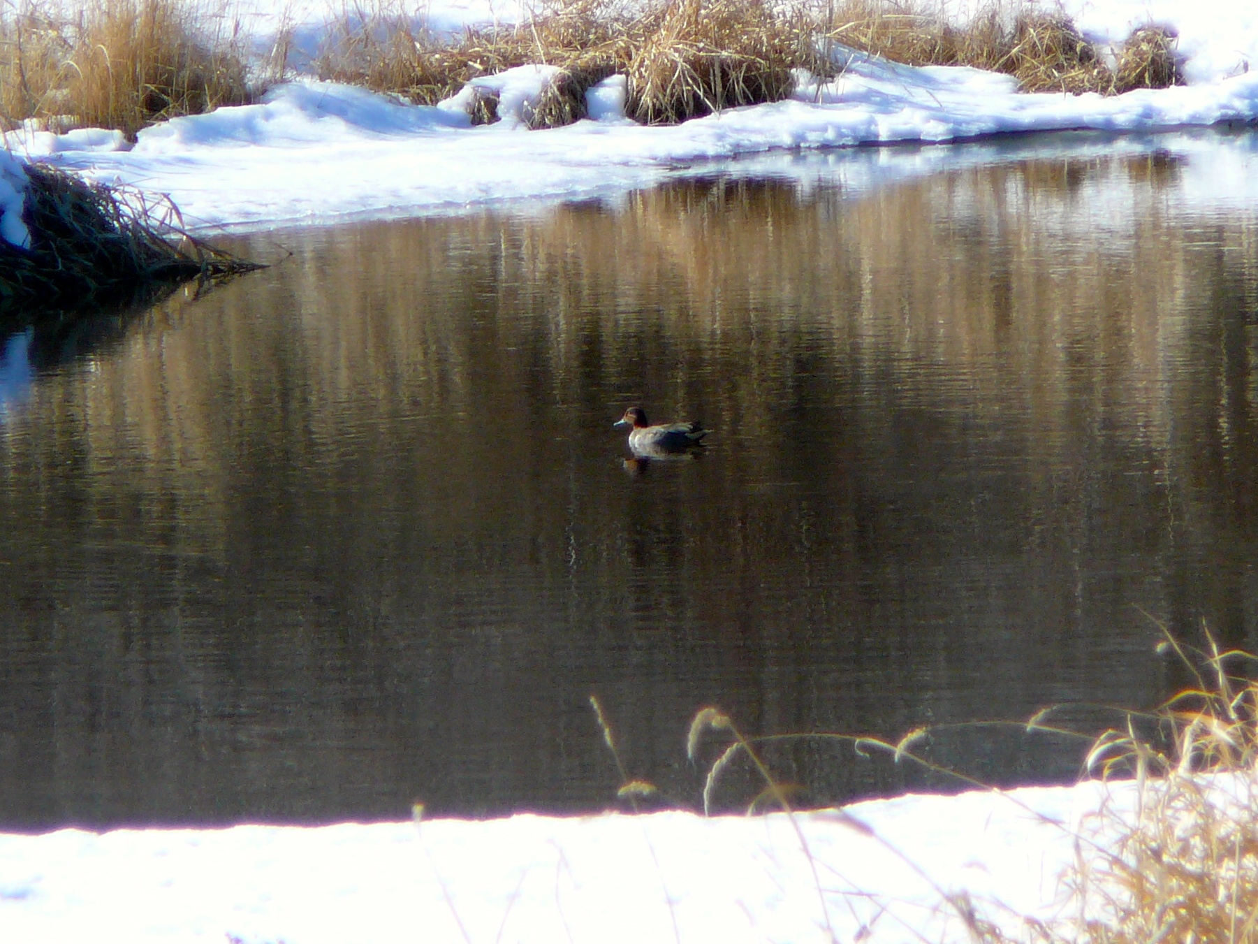
Green-winged Teal
Topographic Map of Preston Rd, Ta Ta Creek, BC V0B 2H0, Canada
Find elevation by address:

Places near Preston Rd, Ta Ta Creek, BC V0B 2H0, Canada:
New Lake
4316 Hilltop Crescent
2009 Harris Rd
15 Crowsnest Hwy
Cranbrook
527 Briar Ave Nw
218 11 Ave S
44 13 Ave S
V1c 5s9
1564 Crowsnest Hwy
2540 Godderis Rd
Standard Hill Road
1401 Willowbrook Dr #15
1401 Willowbrook Dr #15
1401 Willowbrook Dr
Willowbrook Drive
Willowbrook Drive
Willowbrook Drive
Willowbrook Drive
1805 Mt Sinclair Ave N
Recent Searches:
- Elevation of Corso Fratelli Cairoli, 35, Macerata MC, Italy
- Elevation of Tallevast Rd, Sarasota, FL, USA
- Elevation of 4th St E, Sonoma, CA, USA
- Elevation of Black Hollow Rd, Pennsdale, PA, USA
- Elevation of Oakland Ave, Williamsport, PA, USA
- Elevation of Pedrógão Grande, Portugal
- Elevation of Klee Dr, Martinsburg, WV, USA
- Elevation of Via Roma, Pieranica CR, Italy
- Elevation of Tavkvetili Mountain, Georgia
- Elevation of Hartfords Bluff Cir, Mt Pleasant, SC, USA