Elevation of 44 13 Ave S, Cranbrook, BC V1C 2V3, Canada
Location: Canada > British Columbia > East Kootenay > East Kootenay C > Cranbrook >
Longitude: -115.76293
Latitude: 49.510445
Elevation: 919m / 3015feet
Barometric Pressure: 91KPa
Elevation Map:
Satellite Map:
Related Photos:

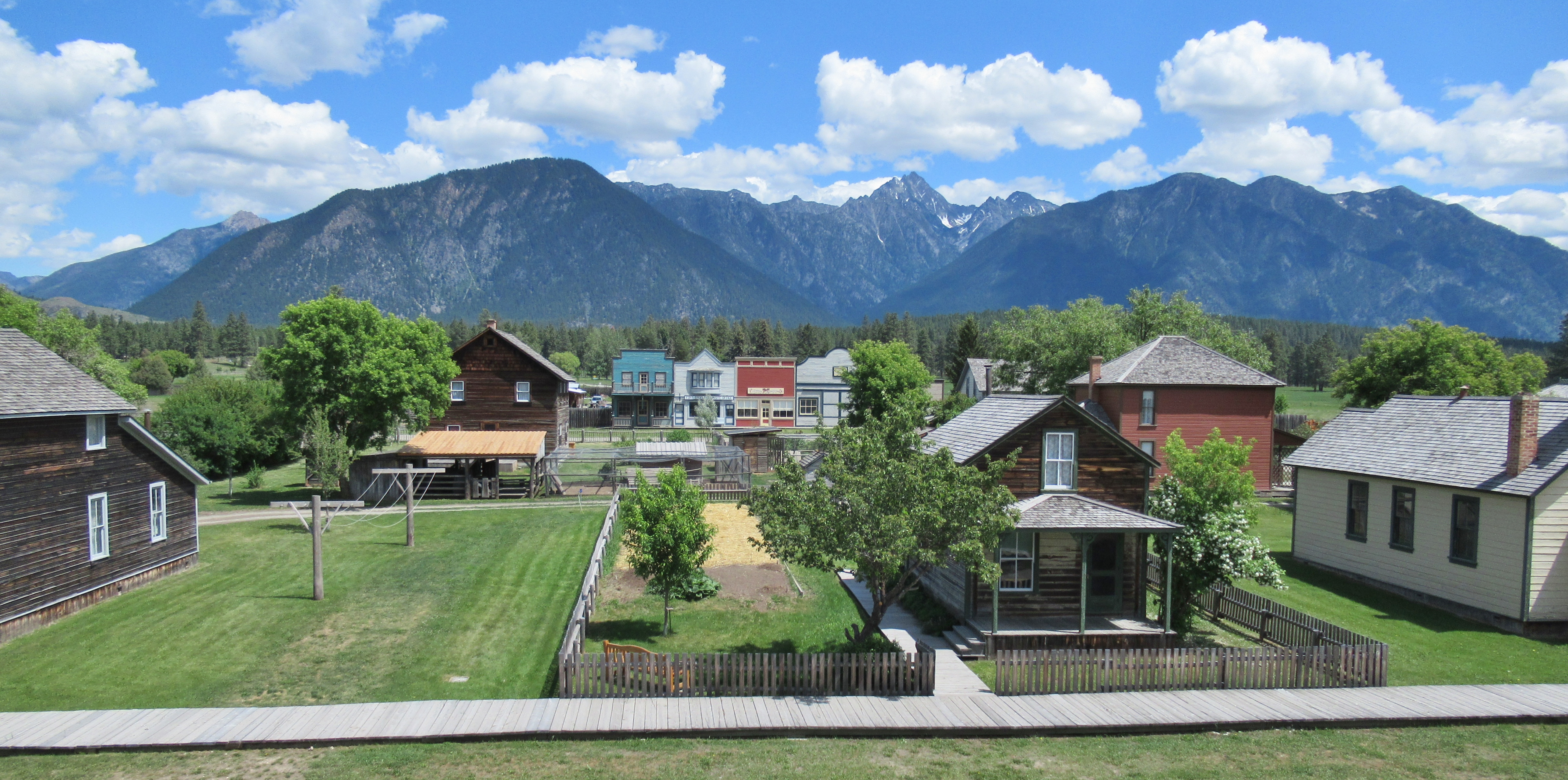
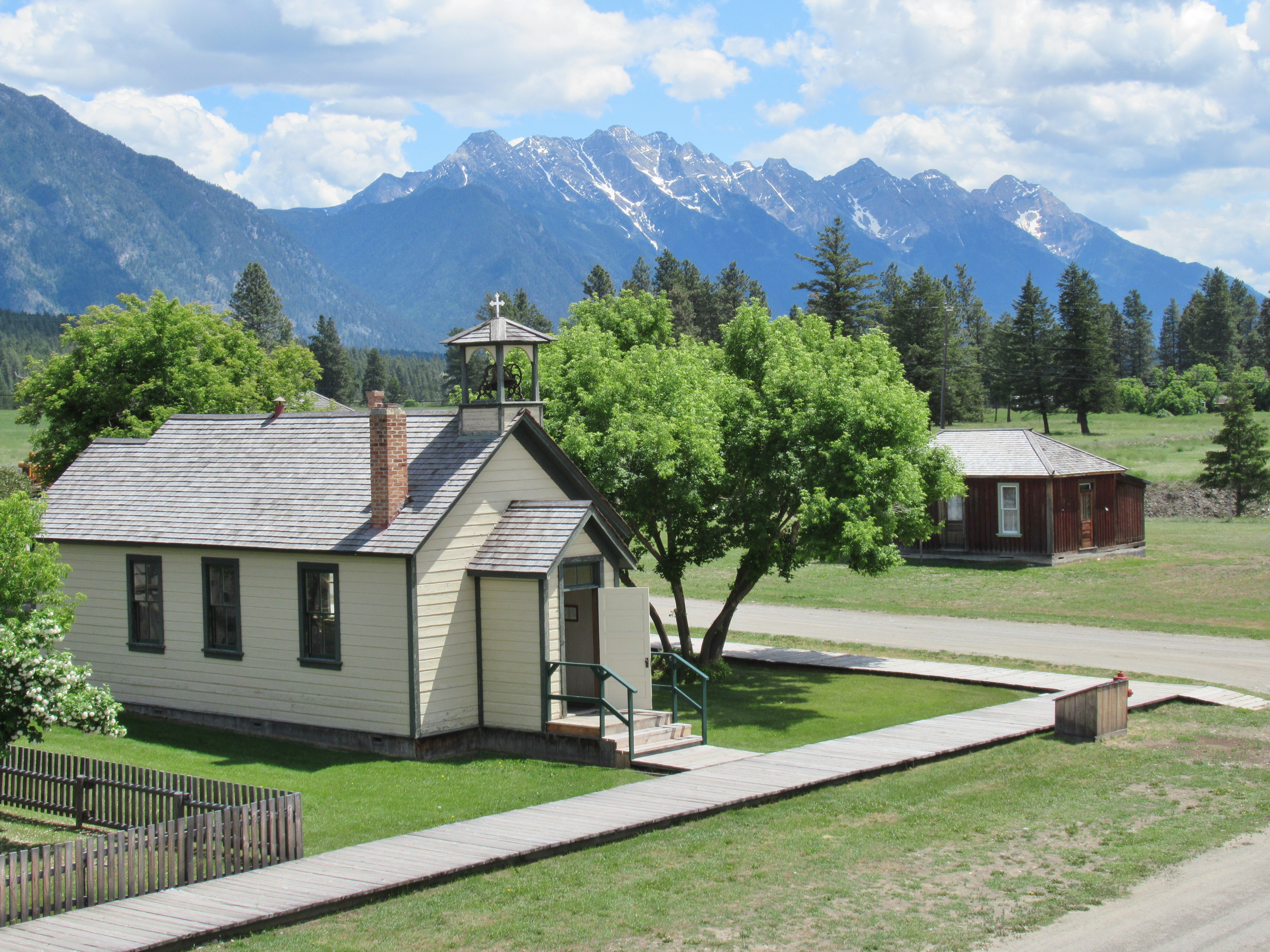
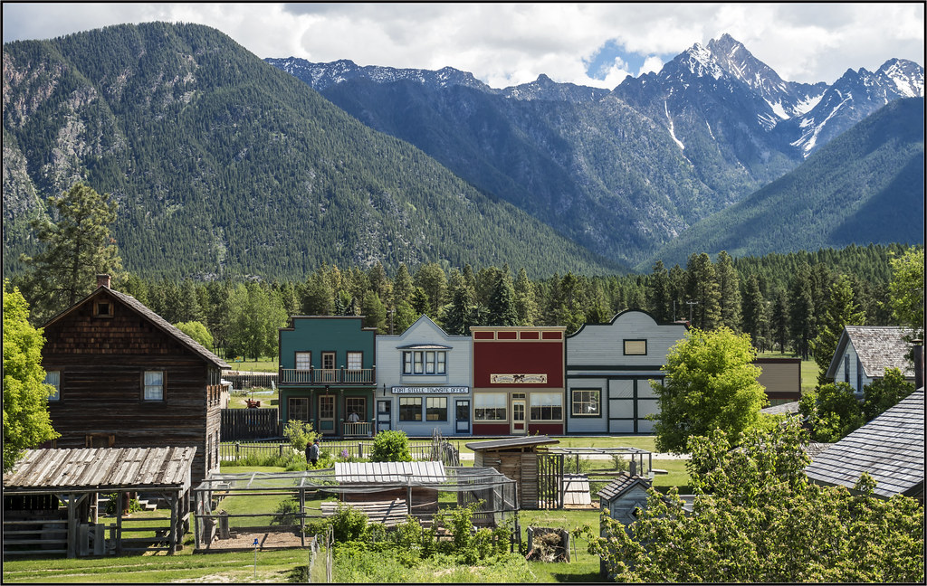
Fort Steele Heritage Town

Canadian Rockies Int'l Airport

koot10c30 Railway Museum Trains, Cranbrook BC 2010

koot10c28 Railway Museum Trains, Cranbrook BC 2010

Fort Steele Heritage Town

2017 - Road Trip - Cranbrook - CPR 4090
Fort Steele Heritage Town

Fort Steele Heritage Town
Fort Steele Heritage Town

Isadore Canyon Trail

Fort Steele Heritage Town

Fort Steele Heritage Town

Fort Steele Heritage Town

koot10c19 Scenic Highway 3 Signs, Cranbrook BC 2010

Fort Steele Heritage Town

Fort Steele Heritage Town

Fort Steele Heritage Town

koot10c20 Scenic Highway 3, Cranbrook BC 2010

Mountains as Far as The Eye Can See

Powder Highway road trip

Fort Steele Heritage Town

Stepping into the sky
Fort Steele

And the mist comes creeping

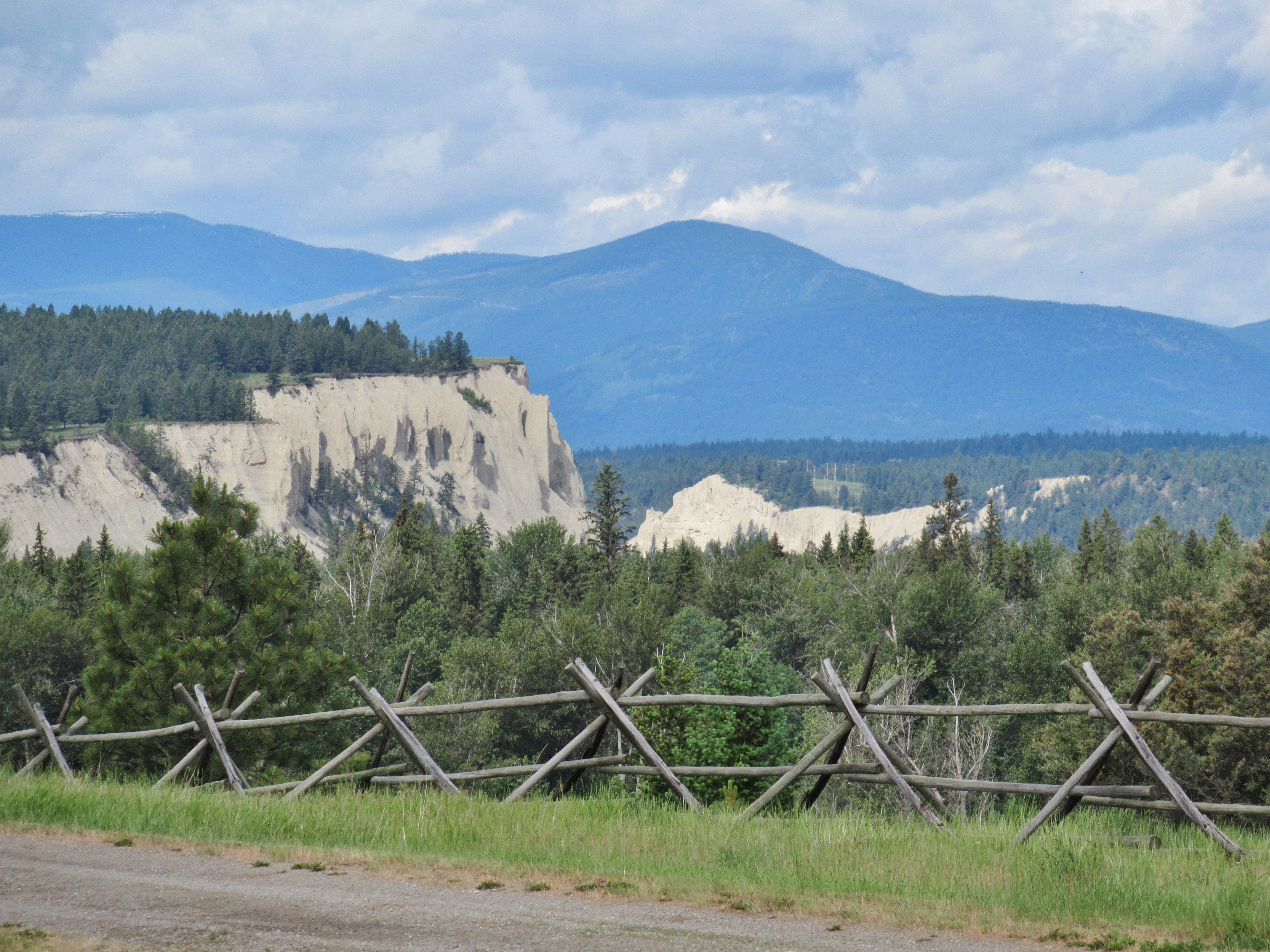
Lakit Mountain from Clearview Road
Day 53: Canadian Postcard

Southbound CPR mixed freight.

Fort Steele Heritage Town
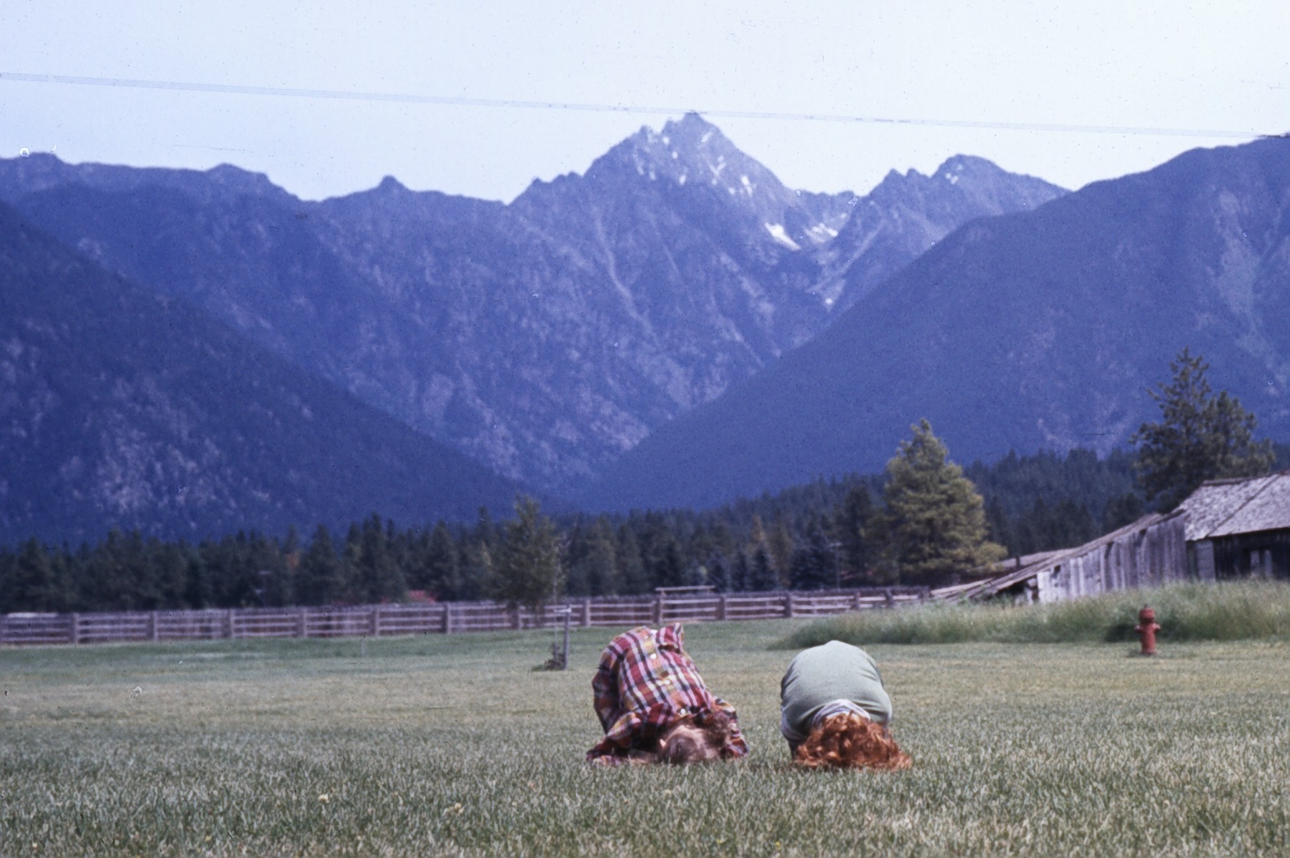
Kids on grass at Fort Steele

Lakit Mountain from Clearview Road

Fort Steele Heritage Town

Fort Steele Heritage Town

Fort Steele looking over the Kootenay River
Fort Steele Heritage Town

St Eugene Resort, Cranbrook BC (Canada) 2016
Topographic Map of 44 13 Ave S, Cranbrook, BC V1C 2V3, Canada
Find elevation by address:

Places near 44 13 Ave S, Cranbrook, BC V1C 2V3, Canada:
218 11 Ave S
Cranbrook
15 Crowsnest Hwy
527 Briar Ave Nw
V1c 5s9
1564 Crowsnest Hwy
1401 Willowbrook Dr #15
1401 Willowbrook Dr #15
1401 Willowbrook Dr
Willowbrook Drive
Willowbrook Drive
Willowbrook Drive
Willowbrook Drive
1805 Mt Sinclair Ave N
2540 Godderis Rd
Standard Hill Road
2009 Harris Rd
4316 Hilltop Crescent
New Lake
Preston Rd, Ta Ta Creek, BC V0B 2H0, Canada
Recent Searches:
- Elevation of Zu den Ihlowbergen, Althüttendorf, Germany
- Elevation of Badaber, Peshawar, Khyber Pakhtunkhwa, Pakistan
- Elevation of SE Heron Loop, Lincoln City, OR, USA
- Elevation of Slanický ostrov, 01 Námestovo, Slovakia
- Elevation of Spaceport America, Co Rd A, Truth or Consequences, NM, USA
- Elevation of Warwick, RI, USA
- Elevation of Fern Rd, Whitmore, CA, USA
- Elevation of 62 Abbey St, Marshfield, MA, USA
- Elevation of Fernwood, Bradenton, FL, USA
- Elevation of Felindre, Swansea SA5 7LU, UK