Elevation of Prescott Dr, Ferndale, CA, USA
Location: United States > California > Humboldt County > Ferndale >
Longitude: -124.36290
Latitude: 40.465626
Elevation: 19m / 62feet
Barometric Pressure: 101KPa
Elevation Map:
Satellite Map:
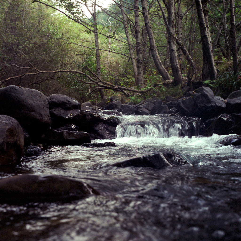
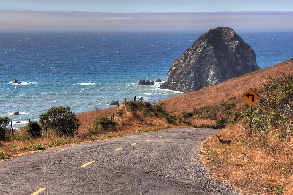
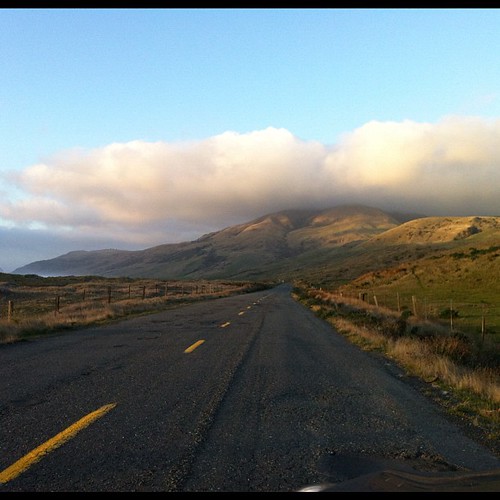
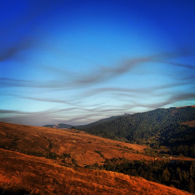
Related Photos:
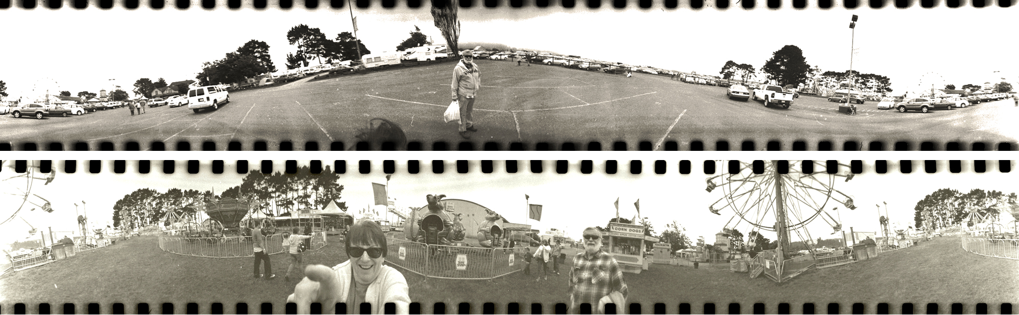
the county fair...hee haw!

Map Desk
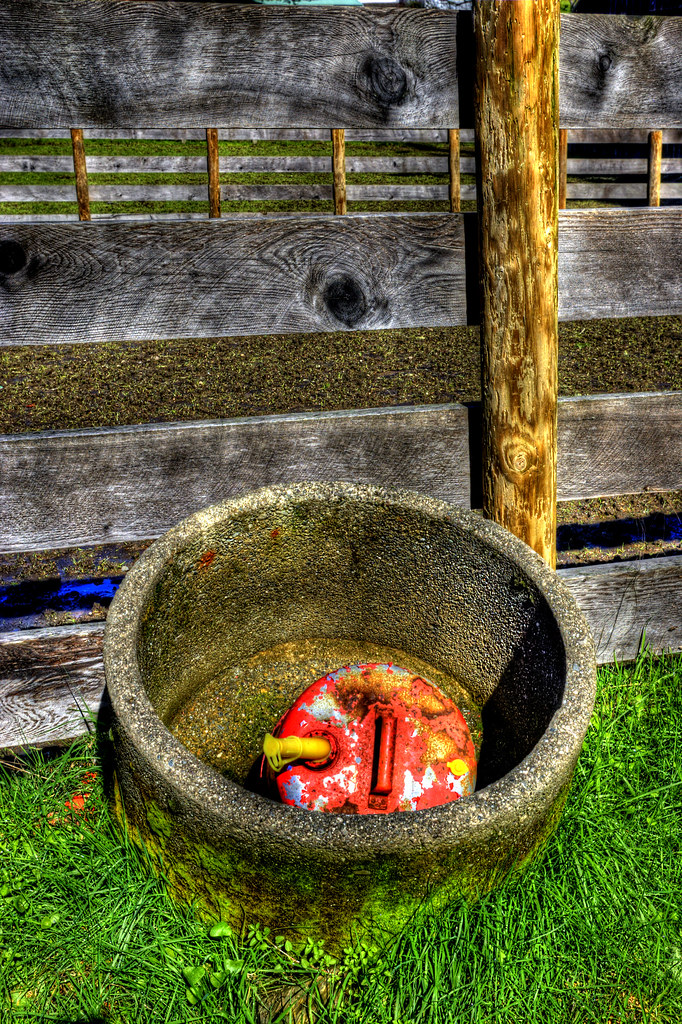
Out of Gas
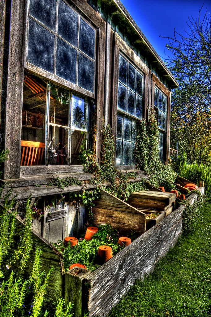
Pottery Barn V

Pottery Barn III
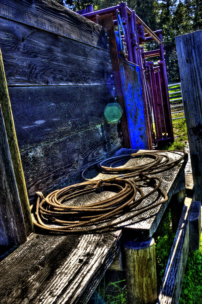
Lasso's
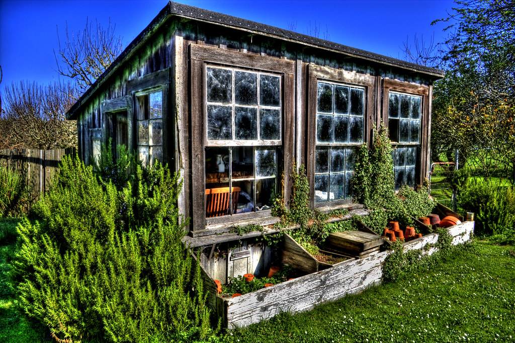
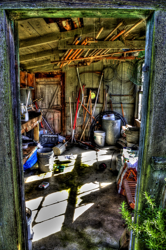
Pottery Barn

Creepy II
The Lost Coast...A Long Lost Sight (Part 5)

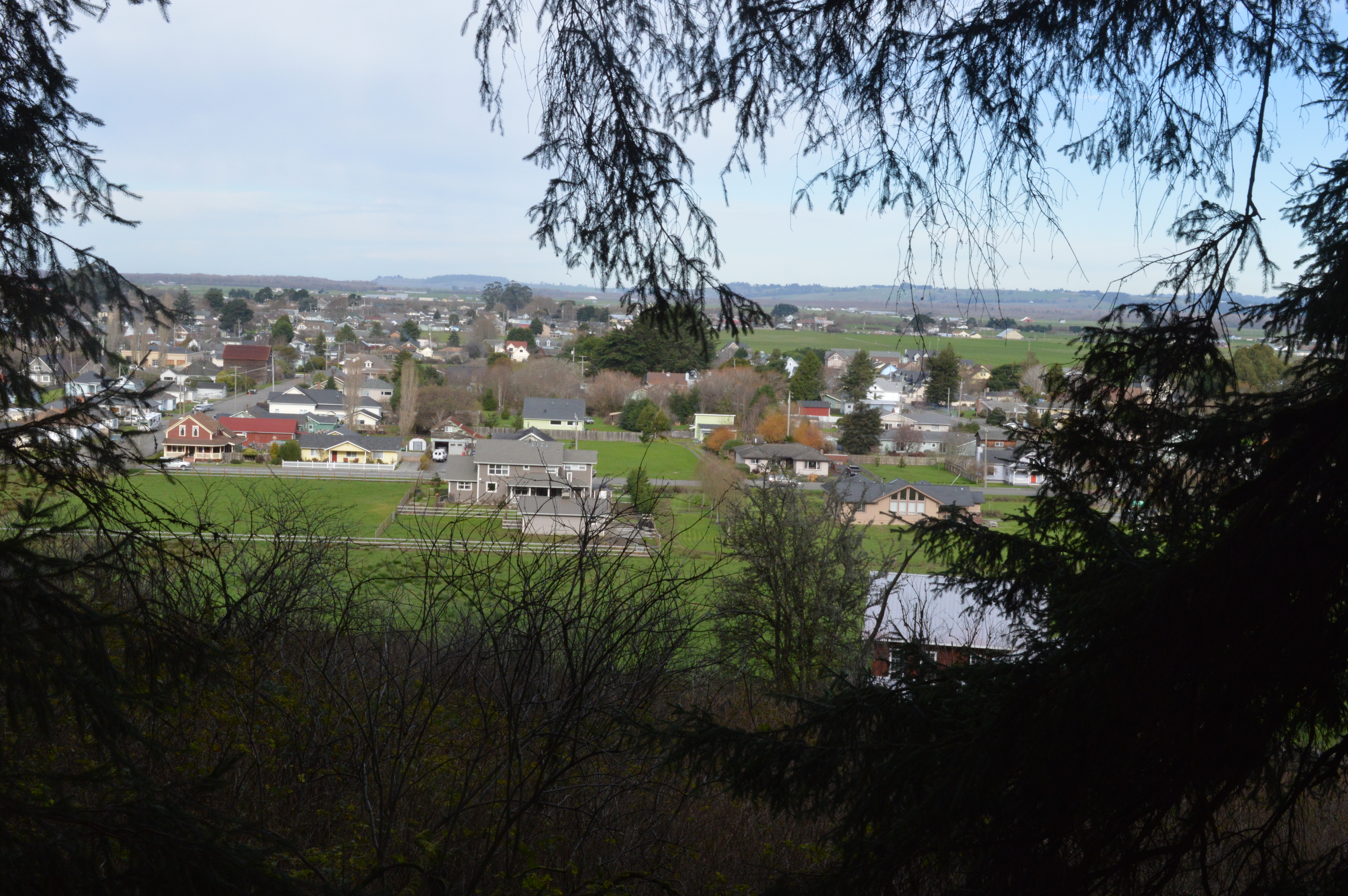
Ferndale, CA

Green Truck II
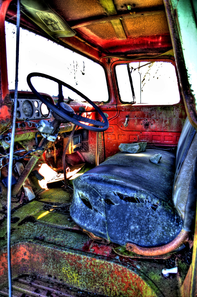
Green Truck III
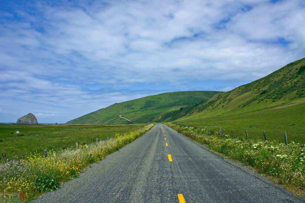
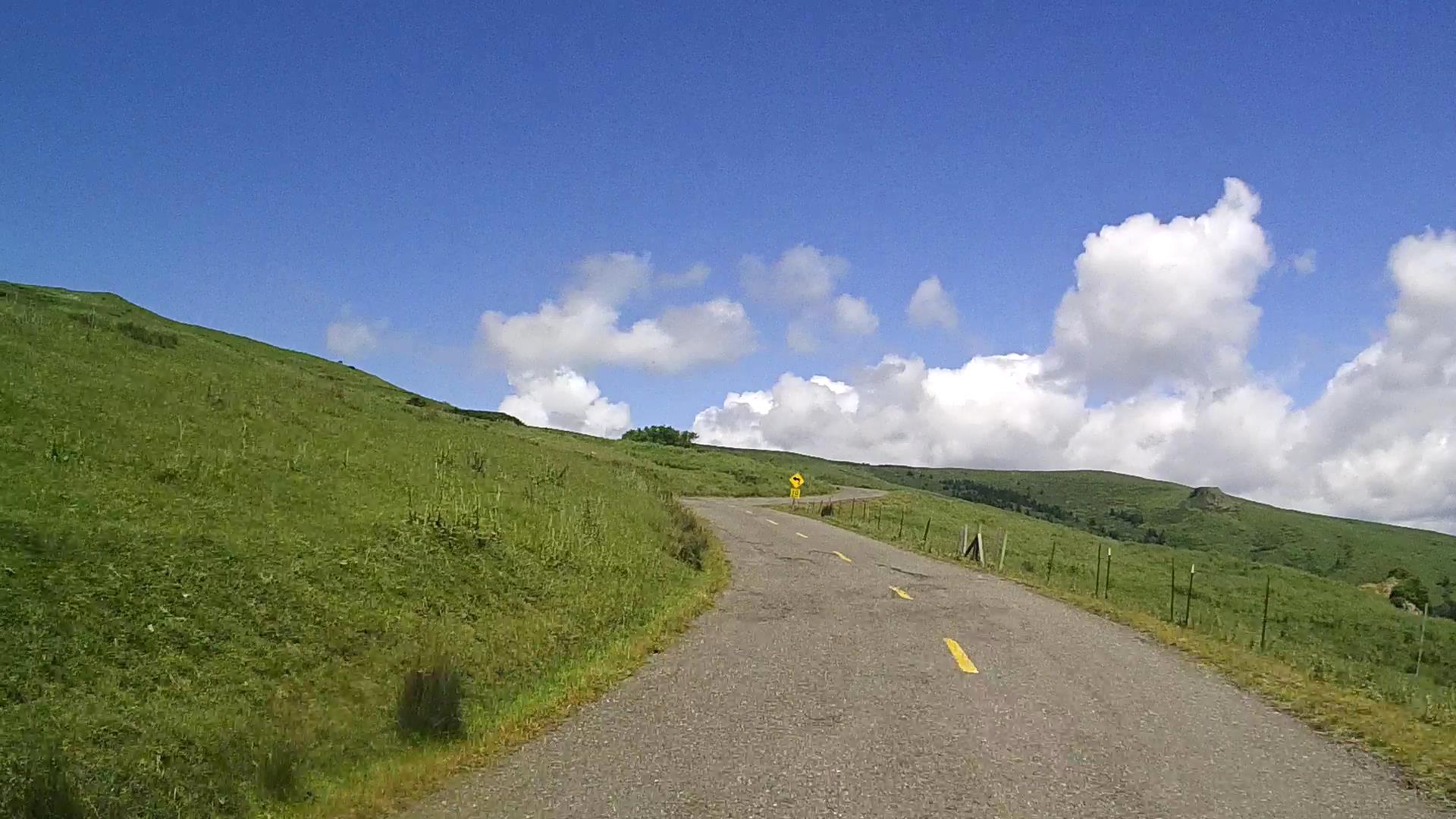
View from Centerville Road.
Pottery Barn II

Three Doors Down
Ferndale, CA
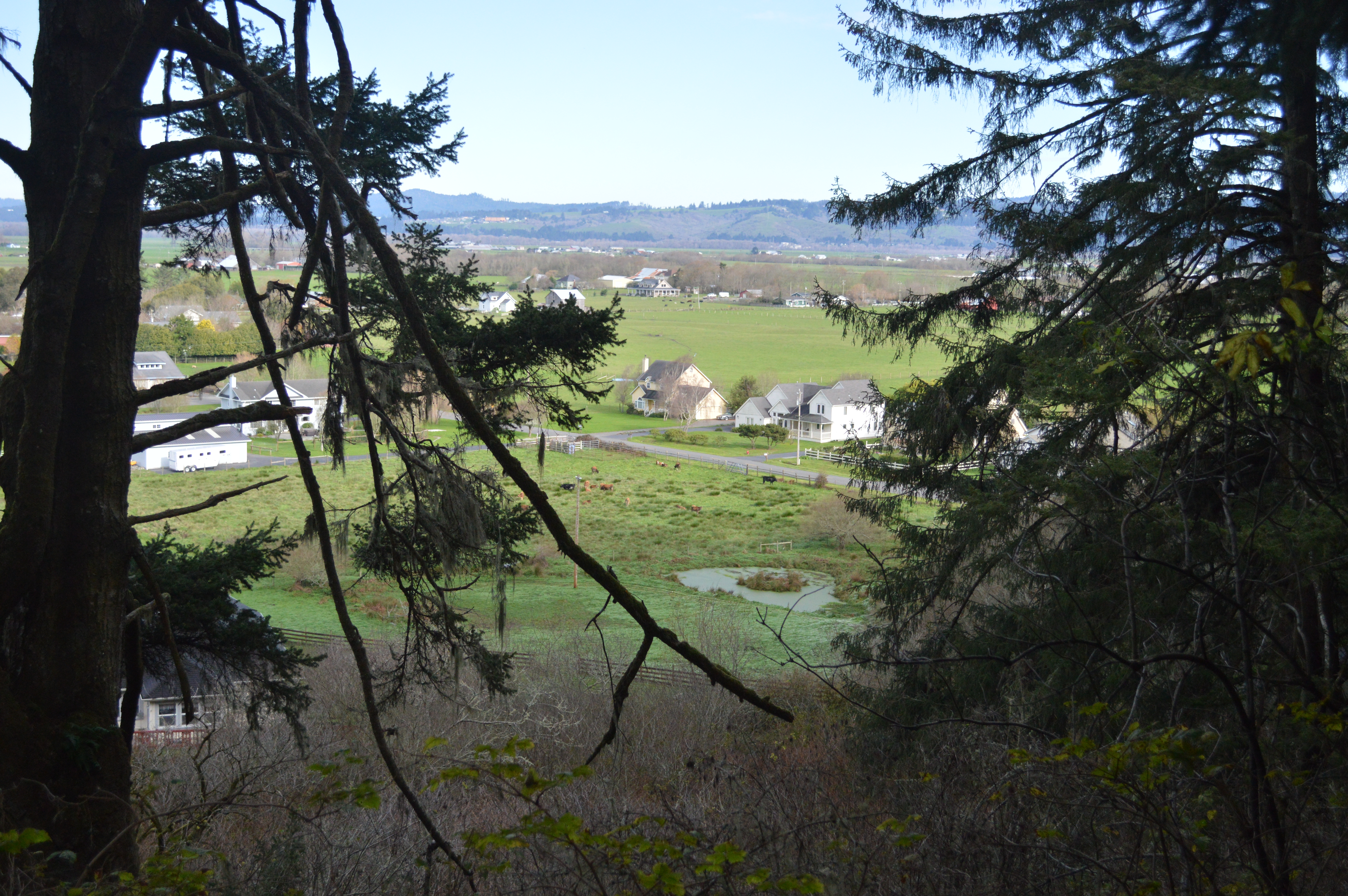
Ferndale, CA

7D2_4445 crop WEME-eBird.org bottom_788x1182-1
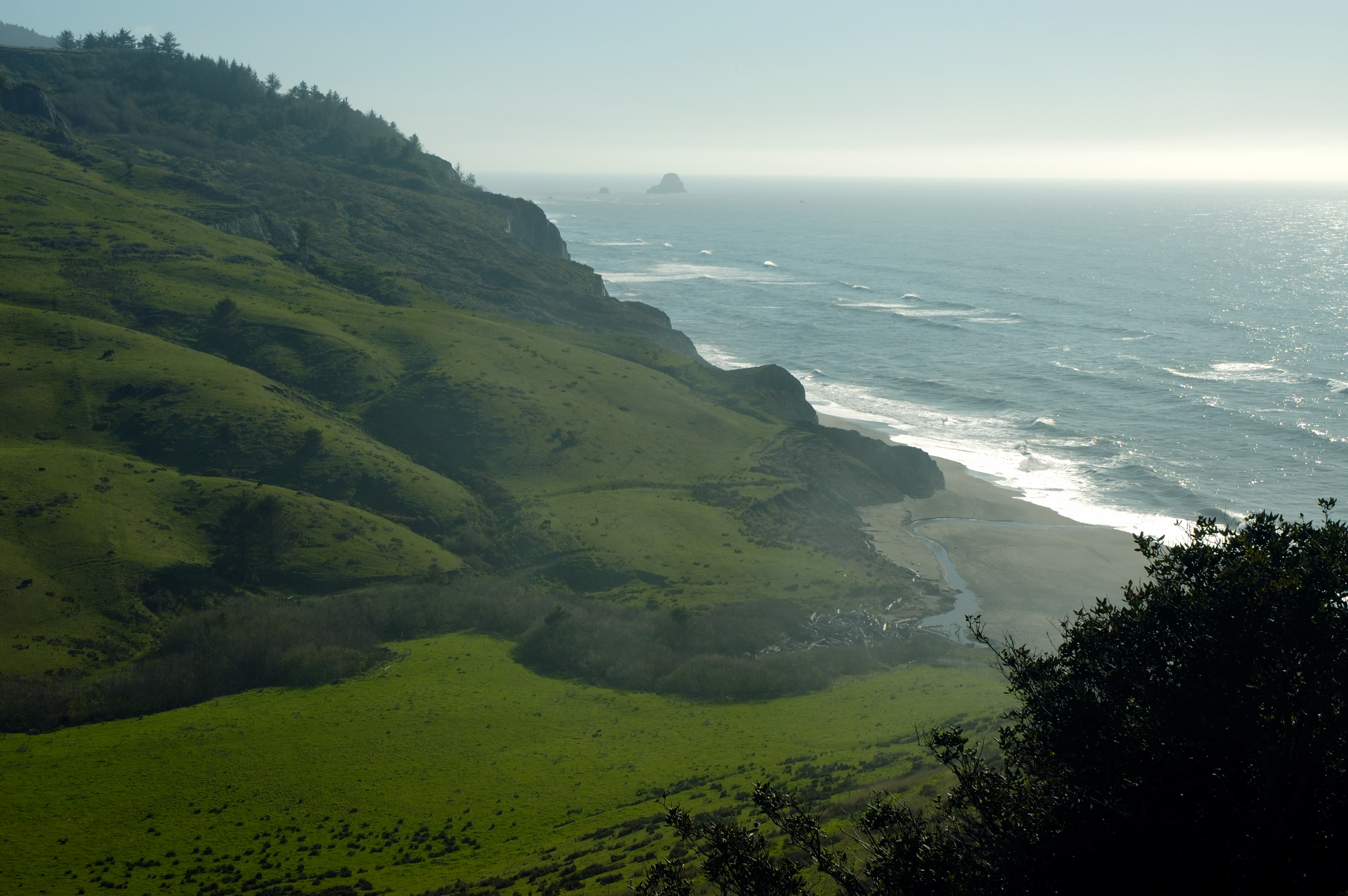
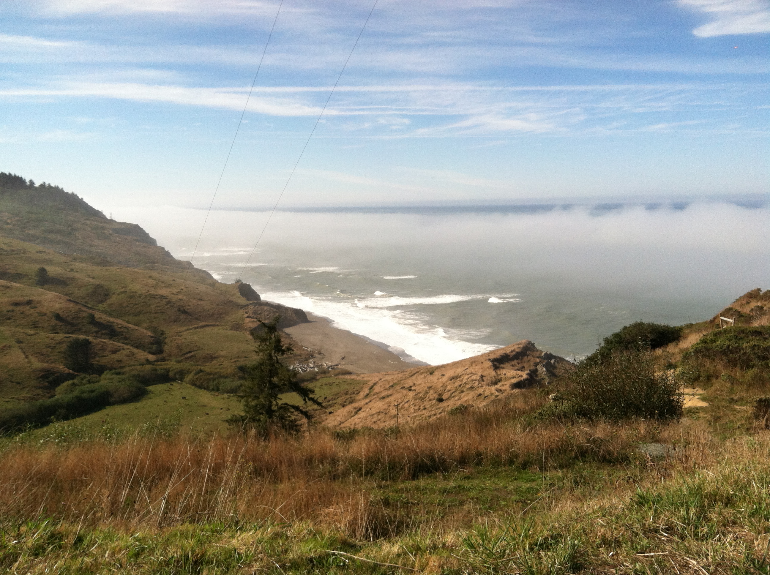
Overlooking Fleener Creek at Centerville, CA
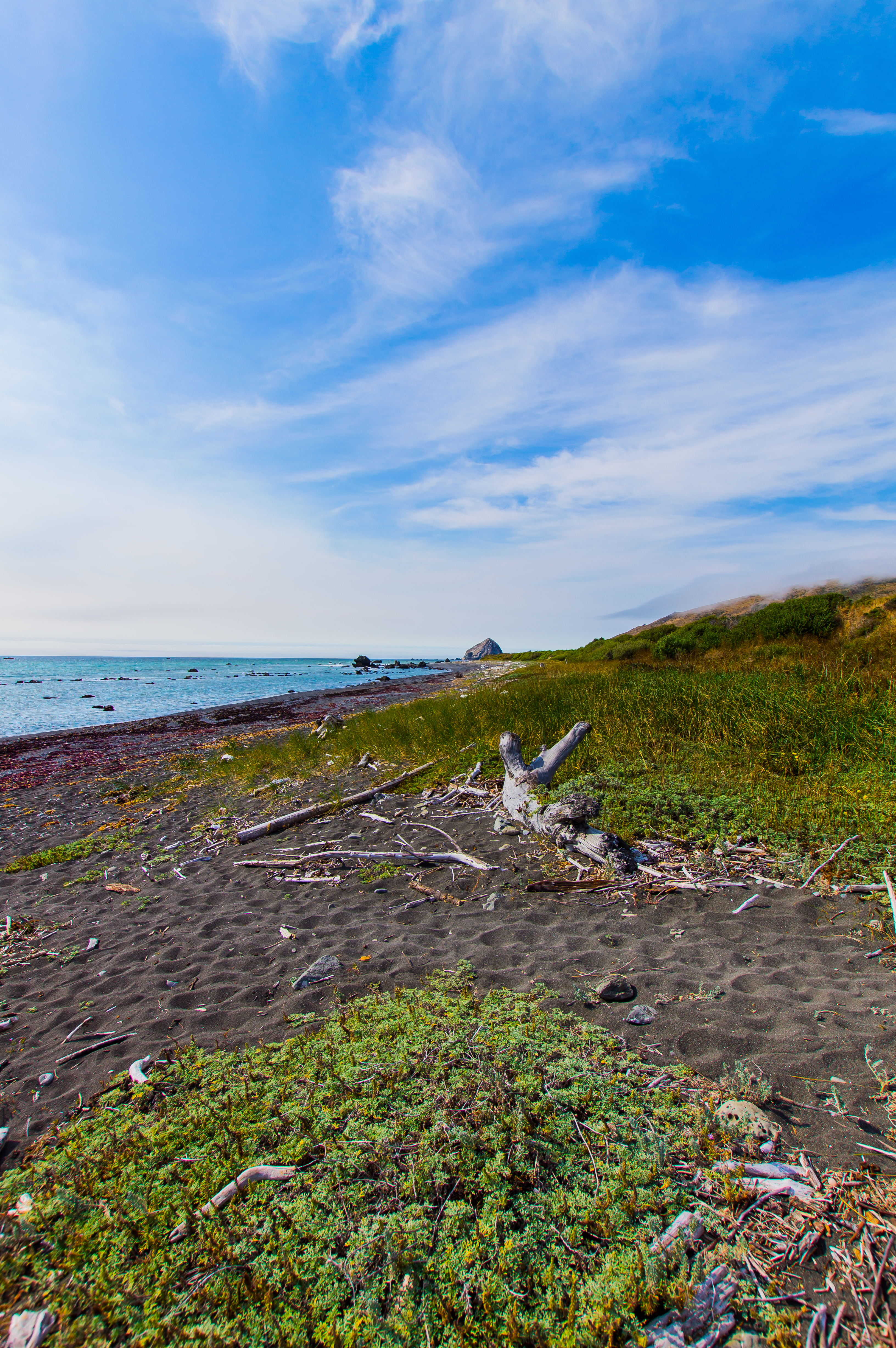
Coast at Fleener Creek
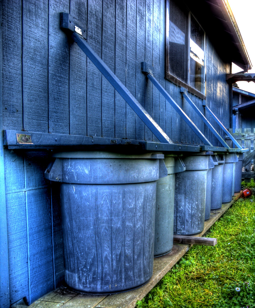
Lined Up
A Lost Coast Masterpiece
Surrounded & Lost
Three Amigos
Marveling Upon the God's Country

USA // California // Humboldt County // Lost Coast (***read description***)
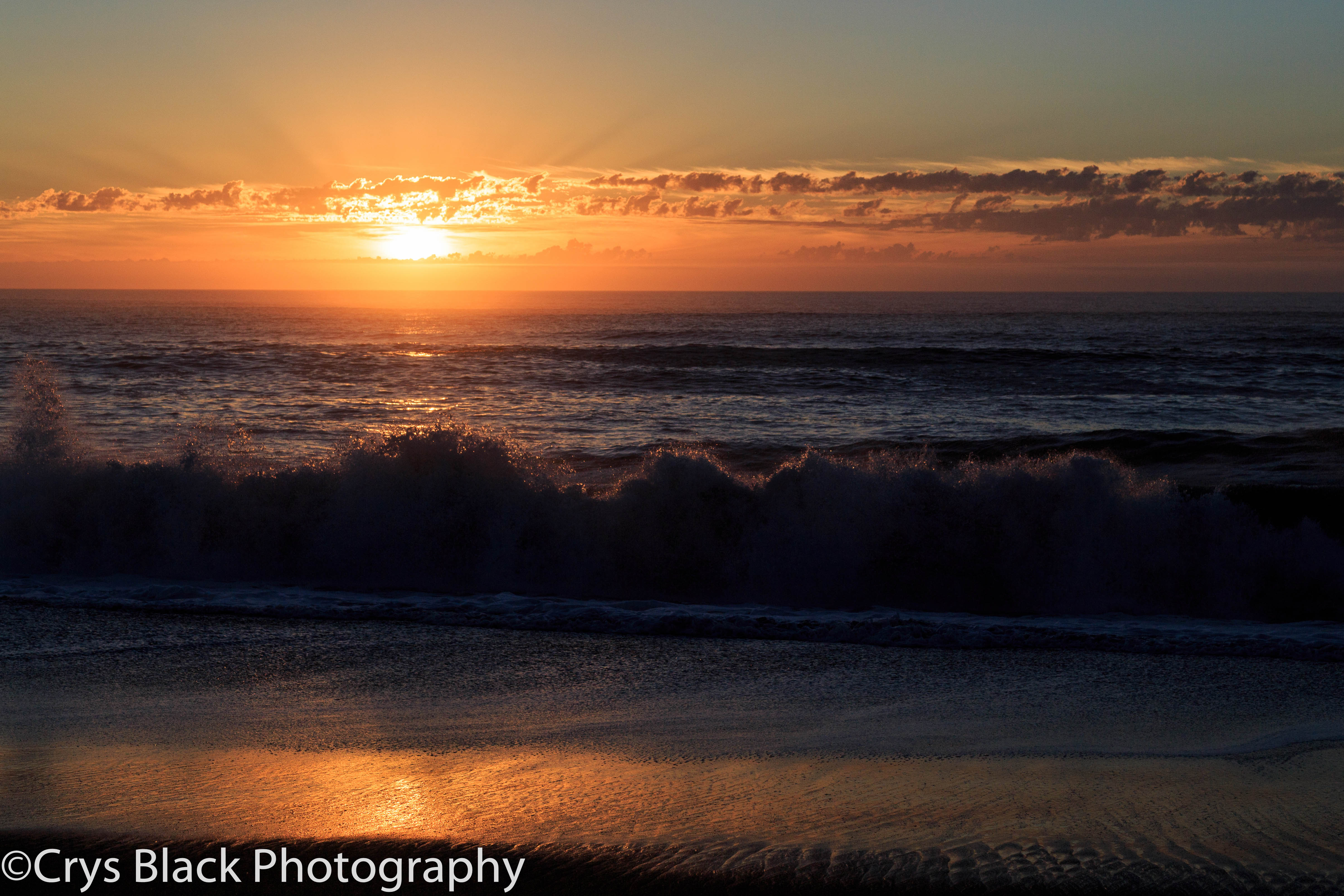
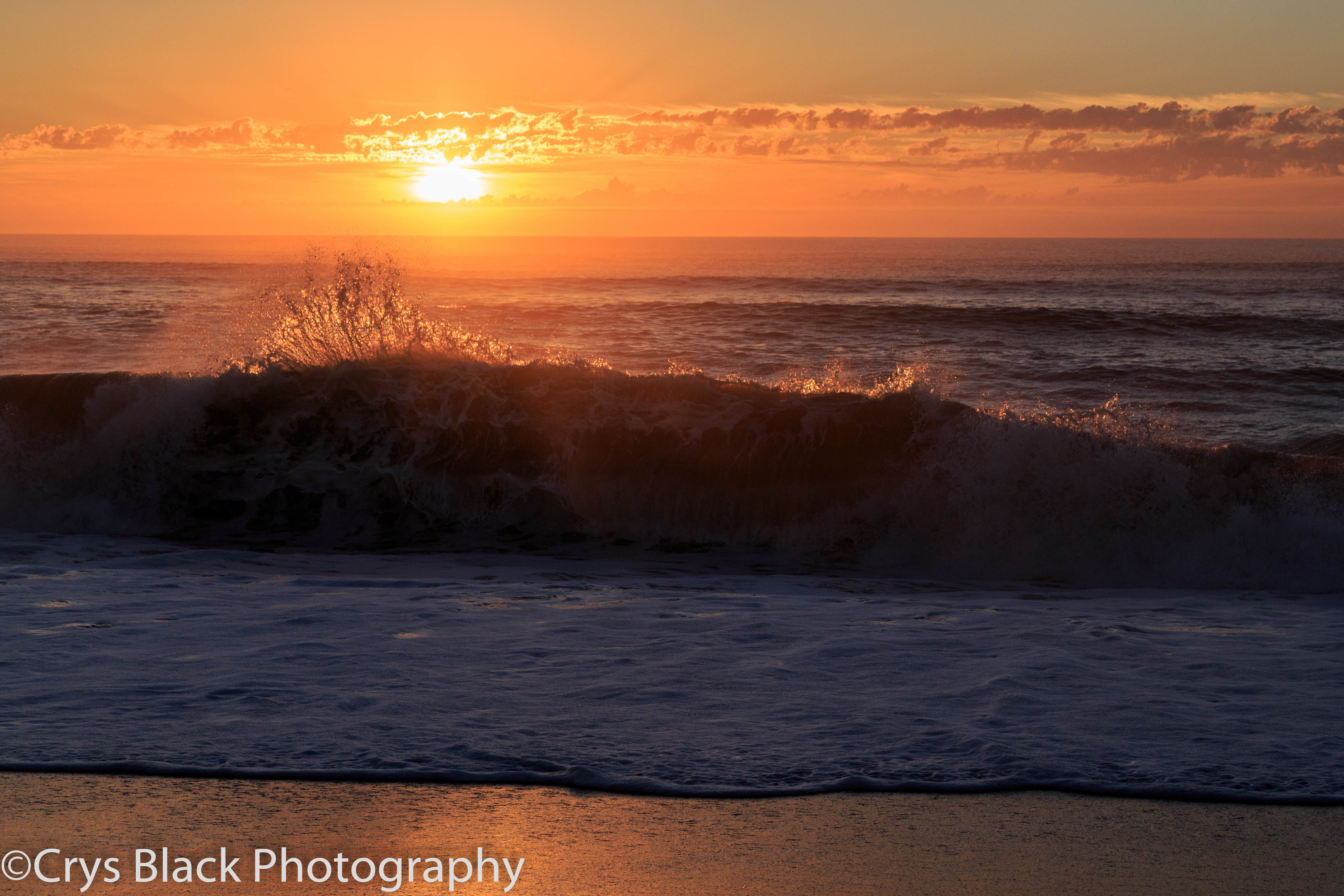
Guthrie Creek Sunset
Sugarloaf Island @ Cape Mendocino, CA 1
Lost Along the Coast

USA // California // Capetown // Lost Coast // Steamboat Rock
Lost Coast - Sugarloaf Island

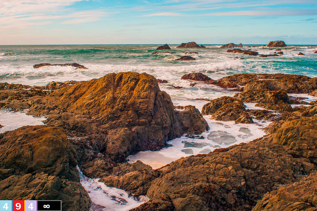
Dip In the Tide Pools
Northern California.
Ribbons of smoke from the Siskiyou County fires over middle Humboldt. Taken from Branstetter Ridge near Cape Town. 1 September 2014
LC12-15
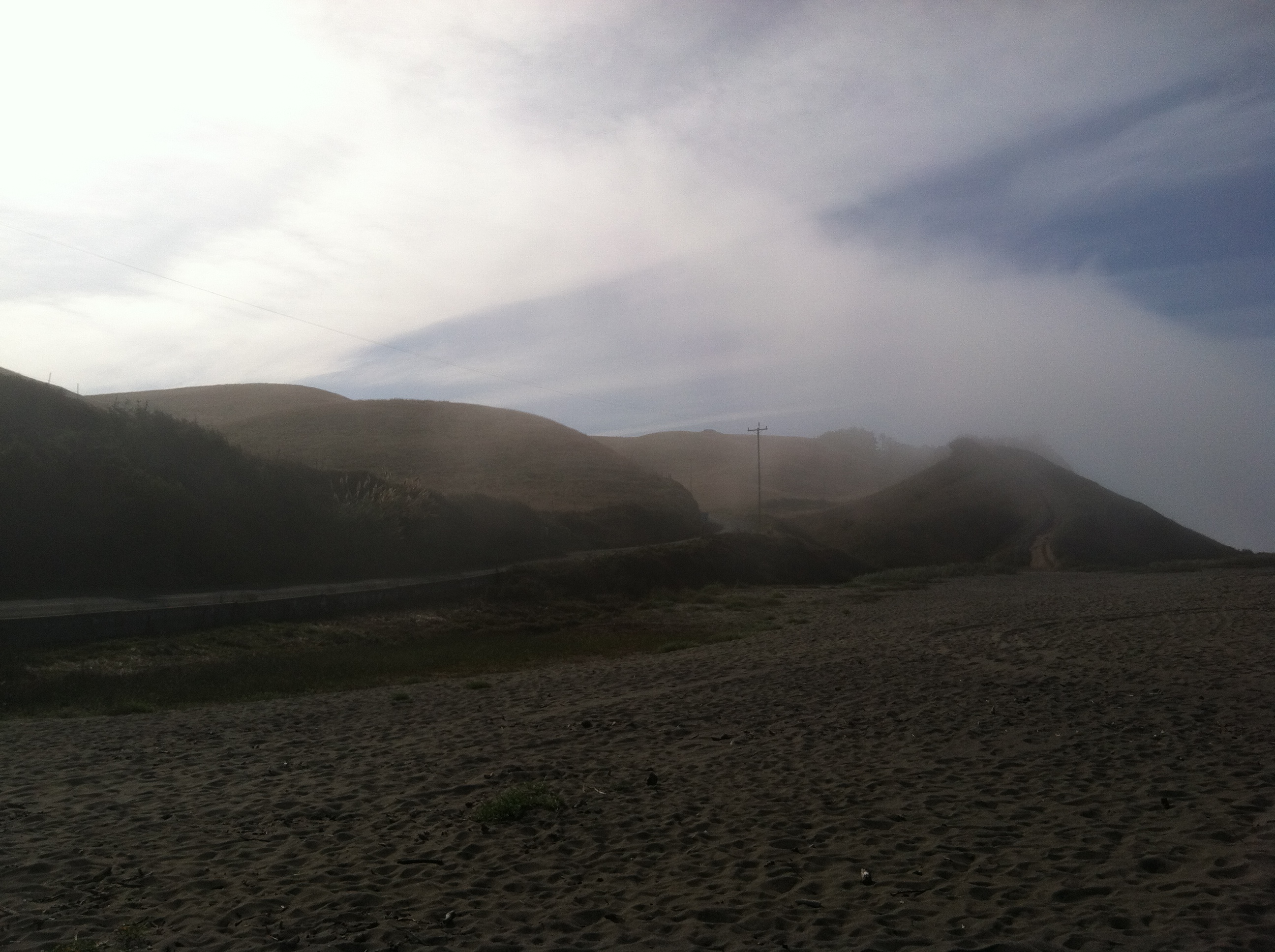
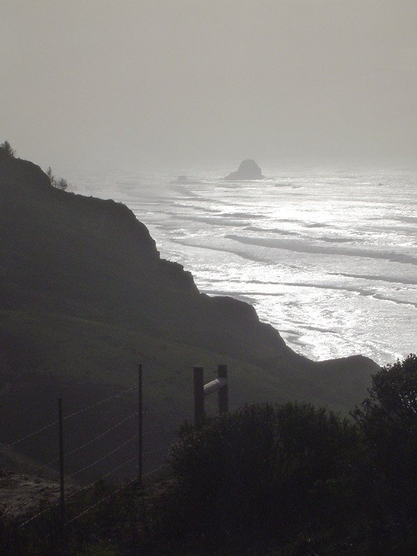
Fog rolling in.
_MG_8660.jpg
_MG_8654.jpg
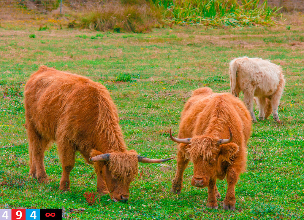
Highland Cattle Near the Low Lands 4
Lost-Coast_61
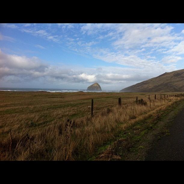
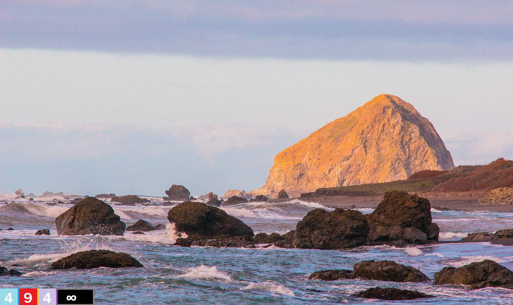
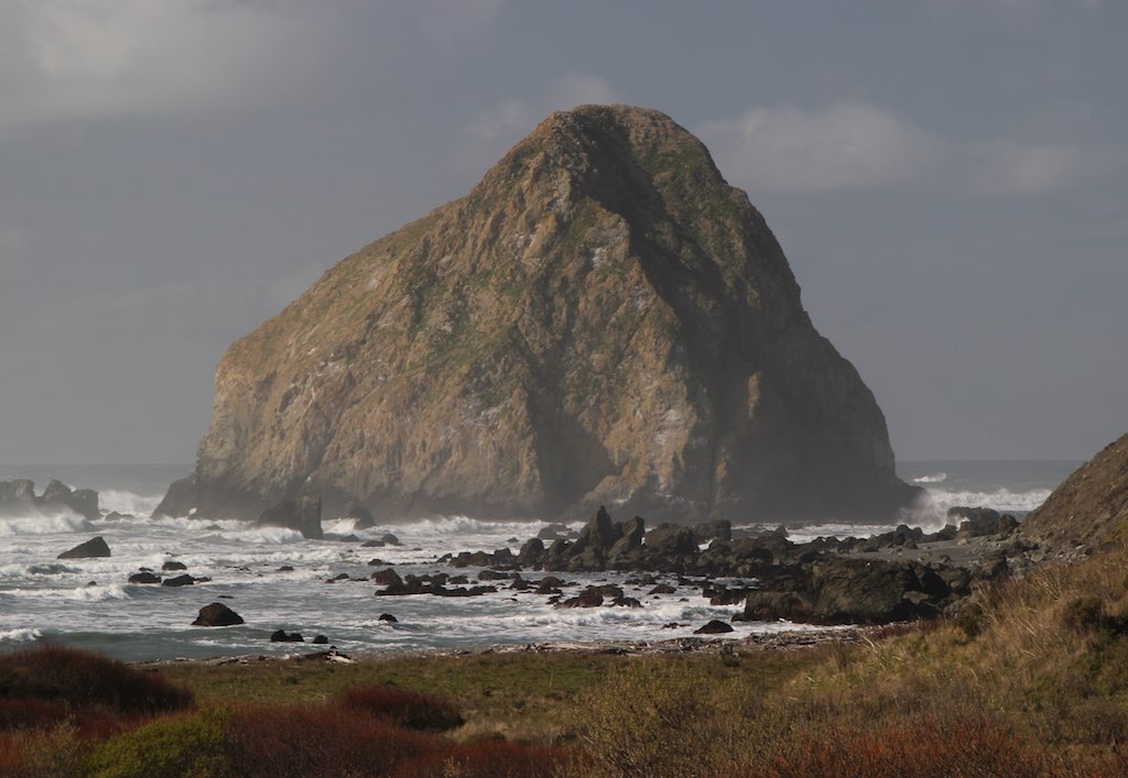
It looks like Haystack Rock, but it's not!
Topographic Map of Prescott Dr, Ferndale, CA, USA
Find elevation by address:

Places near Prescott Dr, Ferndale, CA, USA:
Cleveland Street
Ferndale
Port Kenyon Rd, Ferndale, CA, USA
1771 Market St
Port Kenyon Rd, Ferndale, CA, USA
Grizzly Bluff Rd, Ferndale, CA, USA
Howe Creek Rd, Ferndale, CA, USA
2330 Monument Rd
1500 Alamar Way
421 9th St
281 Sunnybrook Dr
Fortuna
Main St, Fortuna, CA, USA
Ogle Ave, Rio Dell, CA, USA
2787 Kirby St
215 Belleview Ave
935 11th St
472 Summer St
1732 Ash St
2019 Shamrock Dr
Recent Searches:
- Elevation of Elk City, OK, USA
- Elevation of Erika Dr, Windsor, CA, USA
- Elevation of Village Ln, Finleyville, PA, USA
- Elevation of 24 Oakland Rd #, Scotland, ON N0E 1R0, Canada
- Elevation of Deep Gap Farm Rd E, Mill Spring, NC, USA
- Elevation of Dog Leg Dr, Minden, NV, USA
- Elevation of Dog Leg Dr, Minden, NV, USA
- Elevation of Kambingan Sa Pansol Atbp., Purok 7 Pansol, Candaba, Pampanga, Philippines
- Elevation of Pinewood Dr, New Bern, NC, USA
- Elevation of Mountain View, CA, USA